Get PeakVisor App
Sign In
Search by GPS coordinates
- Latitude
- ° ' ''
- Longitude
- ° ' ''
- Units of Length

Yes
Cancel
❤ Wishlist ×
Choose
Delete
Known for their heavily forested terrain and rugged hiking trails, the Appalachian Mountains, also known simply as the Appalachians, are a system of mountain ranges that stretch some 1,500 miles (2,400 km) south to north from the U.S. state of Alabama to the Canadian province of Newfoundland and Labrador.

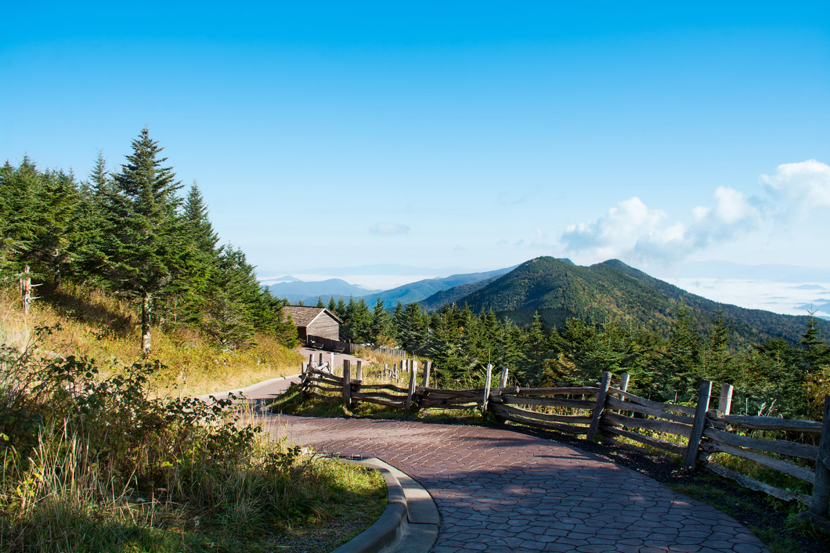
There are 37857 named peaks in the Appalachian Mountains; the highest and the most prominent is Mount Mitchell (6,684 ft / 2,038 m) in North Carolina.
The Appalachians formed a natural barrier between the eastern Coastal Plain and the Interior Lowlands of North America, playing a vital role in the development of the United States. For over a century, they were the critical barrier to the westward expansion of the British colonies.
“Appalachia” often refers to a distinct cultural region stretching from southern New York through Pennsylvania, West Virginia, Maryland, Virginia, Ohio, Kentucky, North Carolina, South Carolina, Georgia, Tennessee, Alabama, and Mississippi. However, it has a different definition in a geological context as a mountain range.
Geologically, the range is part of at least 16 states, including all the previously mentioned states plus Connecticut, Massachusetts, Vermont, New Hampshire, and Maine.
While the geologic definition of the Appalachian Mountains does not technically include the hills in Mississippi, it does include some of the mountains within the Canadian provinces of Quebec, New Brunswick, Nova Scotia, and Newfoundland and Labrador. The Canadian Appalachians are often considered a distinct system of ranges, though this is a geopolitical distinction rather than a geological one.
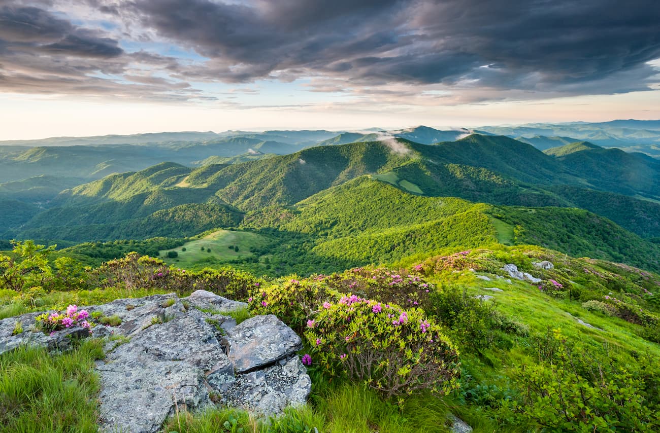
The Appalachians can be divided into three large physiographic regions: northern, central, and southern.
In the northern part of the system, there are several subranges, which include:
The central part of the Appalachian range includes everything from the Hudson Valley of New York to the New River, which runs north-south through West Virginia and Virginia. This includes:
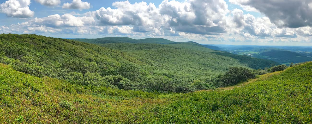
The southernmost part of the Appalachian Mountains includes everything south of the New River. Ranges include:
Additionally, while geographically close to the Appalachian Mountains, the Adirondack Mountains are not part of the Appalachian system. Interestingly, the Adirondacks have a geologic history distinguishing them from the nearby craggy neighbors.
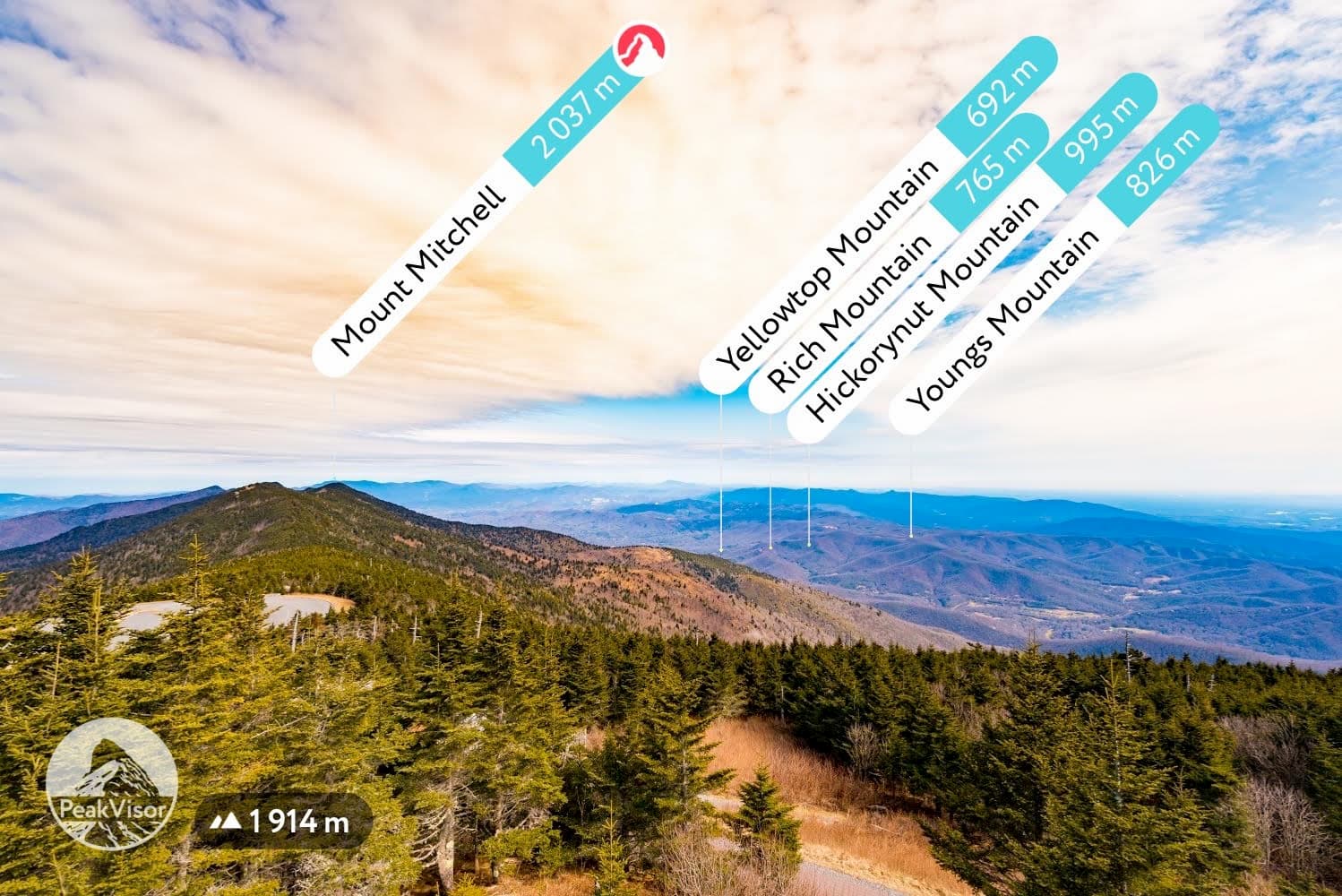
Depending on how you define them, the mountains to the west of the Appalachians—the Appalachian Plateaus—can be seen as part of the system or a distinct geographical area. These plateaus include the Cumberland Plateau to the south and the Allegheny Plateau to the north.
The easternmost part of the Appalachians, known as the Appalachian Ridges, can also be considered a distinct geographical region. These ridges include Reading Prong and the Kittatinny Mountains.
Within the Appalachian Mountains are dozens of national parks, state parks, provincial parks, and national forests. In the northern part of the system, these protected areas include:
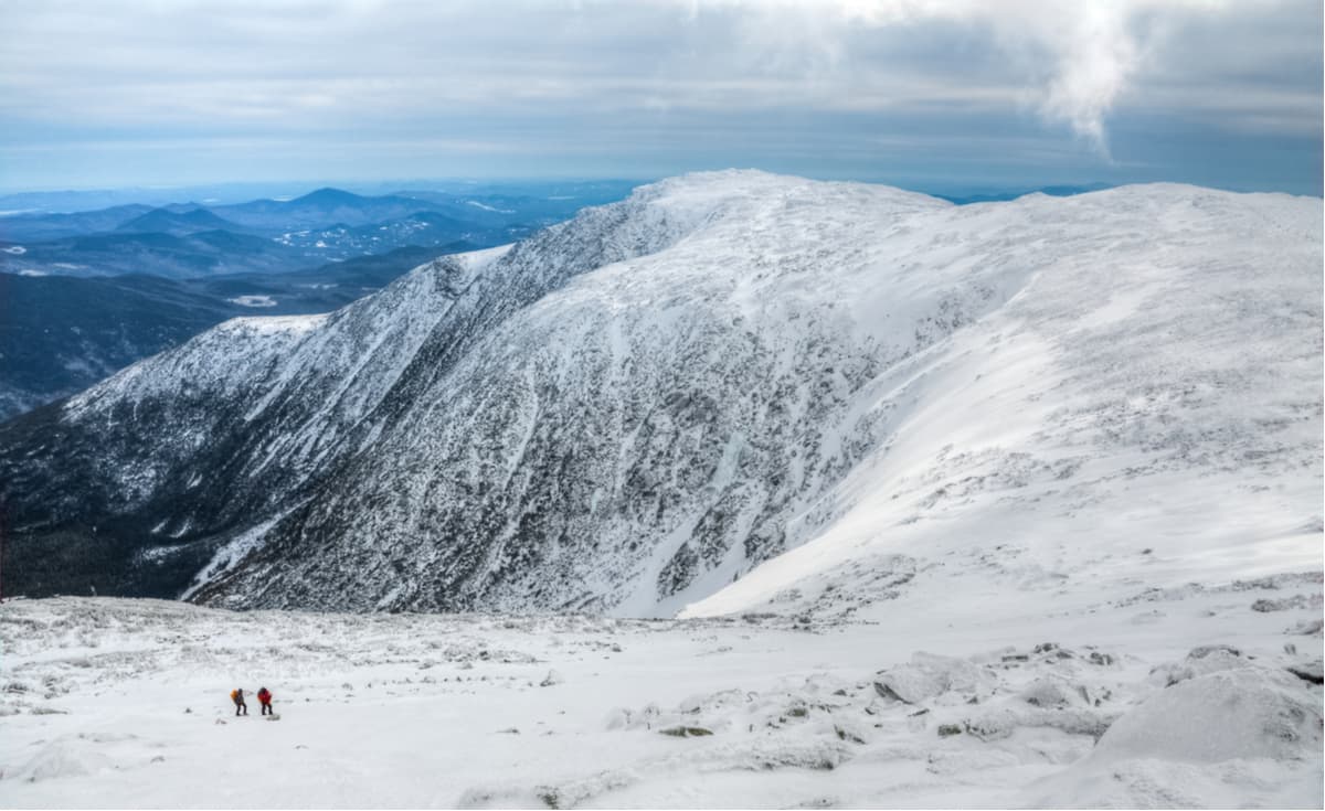
The central part of the Appalachians is home to several important protected areas, including:
Finally, the southern Appalachians contain the following recreation areas:
As mentioned above, these national protected areas and wilderness regions are in addition to over 150 state parks, state forests, and other locally protected areas.
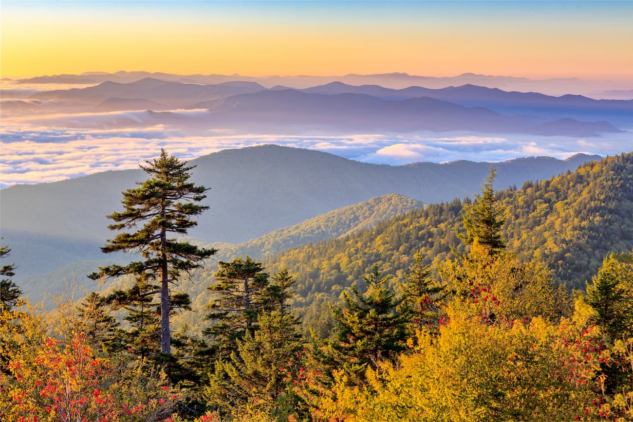
The Appalachian Mountains are considered an ancient range, even by geologic standards. They began to form some 480 million years ago during the Taconic orogeny. During this time, the ancient Iapetus oceanic plate began to subduct below the ancient North American plate, starting a period of mountain building that set the stage for the mountains we see today.
However, erosion kept pace with the mountain-building events that occurred during this time, wearing down peaks that were once potentially as high as the Alps and the Himalayas to a fraction of their original height.
Over the succeeding 250 million years, the region experienced a series of subsequent mountain-building events, including the Alleghenian, Hercynian, Ouachita, Acadian, and Caledonia orogenies.
The northernmost parts of the range were extensively glaciated during the Pleistocene, as evidenced by their rounded summits.
Nowadays, the Appalachian Mountains, particularly in the southern and central regions, are known for their extensive carbon energy deposits. Bituminous coal, oil, and gas have been mined in the Appalachians for centuries.
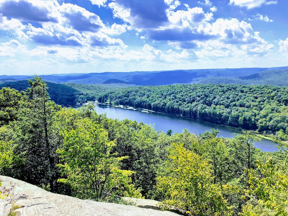
The Appalachians are incredibly biodiverse, particularly by North American standards.
In the southern and central parts of the range, the region is mostly part of the Appalachian-Blue Ridge forests ecoregion, which covers some 61,500 square miles (159,000 sq. km) in the eastern United States.
The Appalachian region is among the world’s most biodiverse temperate deciduous forests, with a high number of endemic species. In terms of biodiversity, it is often compared to the forests of central China, the Caucasus Mountains of Georgia and southern Russia, and Japan.
The area has hundreds of tree species, though the landscape is mainly dominated by deciduous oak at lower elevations and spruce-fir forests above 4,400 feet (1,350 m).
The northern reaches of the Appalachian Mountains (excluding Newfoundland and the Gaspésie in Quebec) are included as part of the New England/Acadian forests ecoregion. They feature a mix of northern hardwood forests, wetlands, coniferous forests (particularly at higher elevations and latitudes), and alpine communities above 4,265 feet (1,300 m).
In western Newfoundland, the region is part of the Newfoundland Highland forests ecoregion, which is a subsection of the taiga (boreal forest) that covers much of northern Canada and Alaska, as well as other high latitudes in the northern hemisphere, such as Finland, Norway, Sweden, Russia, Mongolia, Iceland, and parts of Scotland.
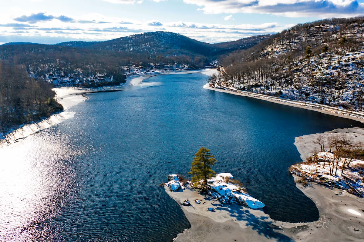
Finally, the Gaspésie and the rest of Newfoundland not part of the highlands forest are included in the Eastern Canadian forests ecoregion. This ecoregion is dominated by balsam fir, black spruce, white spruce, and paper birch forests.
Wildlife throughout the Appalachian Mountains includes an array of medium and large-size mammals, such as coyotes, foxes, deer, and black bears, and a great diversity of bird life. Snowshoe hares, gray wolves, Canadian lynx, moose, caribou, and northern bird species, such as eider ducks, are more prevalent in the northernmost parts of the Appalachians.
The Appalachians cover an expansive region that has been home to humans for thousands of years. Countless groups called the mountains home long before the arrival of European settlers. Archaeological evidence suggests that the earliest inhabitants arrived around 12-16,000 years ago, during the late Pleistocene epoch. These Paleo-Indians were hunter-gatherers who followed migratory game, leaving behind tools, weapons, and rock shelters.
The most significant of these groups include the Muscogee, Cherokee, Catawba, Tutelo, Shawnee, Moneton, Monacan, Sappony, Manahoac, Massawomeck, Osage, Susquehannoc, Piscataway, Lenape, Haudenosaunee, Mohican, Pocumtuc, Wabanaki, Abenaki, Arosaguntacook, Penobscot, Wolastokuk, Mi’kmaq, Huron-Wendat, Innus, and Beothuk.
Perhaps the earliest European settlement in the Appalachian Mountains was around 1000 CE when Vikings settled briefly at L’Anse aux Meadows in northern Newfoundland. Although this settlement was somewhat short-lived, it may have had some historical connection to the tales told in some of the Icelandic sagas.
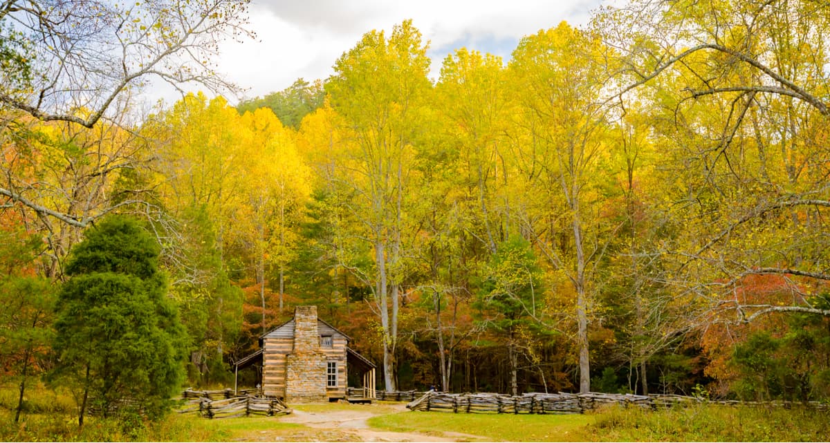
The arrival of European explorers in the 16th century marked a turning point in the human history of the Appalachians. Spanish, French, and English expeditions sought to claim territory, exploit resources, and establish trade routes. While there were periods of cooperation, these encounters eventually devolved into conflict, disease, and the ultimate displacement of Indigenous communities.
The 18th century saw a wave of European colonization in the Appalachian Mountains. The French and Indian War (1754-1763) solidified British control over the region but also intensified tensions between settlers and indigenous groups. The American Revolution (1775-1783) further disrupted traditional ways of life, as indigenous communities were forced to choose sides or face displacement.
European settlement brought about significant changes to the Appalachian landscape. Forests were cleared for agriculture, mining operations extracted resources like coal and iron, and towns and cities sprang up along rivers and transportation routes. The construction of roads, canals, and railroads facilitated further settlement and economic development.
The 19th century was a period of rapid expansion and industrialization in the Appalachians. The discovery of vast coal deposits fueled the growth of mining towns and the development of a regional coal industry. Timber harvesting also intensified as forests were cleared for lumber and to make way for agriculture. Much of the region’s economy was, and still is, tied to agriculture and mining, particularly coal, oil, and natural gas extraction. Logging was also an especially important industry in the northern parts of the range.
The American Civil War (1861-1865) deeply divided the Appalachian region. Many communities were split along pro-Union and pro-Confederate lines, leading to internal conflict and guerrilla warfare. The war had a devastating impact on the region's economy and infrastructure, and the legacy of slavery and racial discrimination continued to shape social relations for decades to come.
In the 20th century, the region in and around Appalachia saw a considerable surge in tourism, with the establishment of many popular outdoor recreation areas, such as national forests and national parks. Places within the Appalachians, such as the White Mountains in New Hampshire, have long been popular tourist destinations for visitors from nearby metropolitan areas like Boston.
The 21st century has also seen a renewed interest in Appalachian culture and heritage. Musicians, artists, writers, and scholars are celebrating the region's unique traditions, such as traditional bluegrass music, while also exploring contemporary issues and challenges. Festivals, museums, and educational programs promote Appalachian history, music, crafts, and cuisine.
On the other hand, poverty, addiction, and economic disenfranchisement have come to define the region in the wake of the natural resource boom of the previous centuries. As coal production continues to decline, economic and cultural development in Appalachia has stagnated. In addition to abject poverty, the most striking consequence of this has been addiction; the nationwide fentanyl crisis has been particularly severe in desperate Appalachian communities.
The establishment of the Appalachian Trail (AT)—a 2,200-mile (3,540 km) hiking route that runs much of the length of the US part of the range—in the late 1930s has also helped to drive recreation. The AT, which travels from Springer Mountain (3,776 ft / 1,153 m) in Georgia to Mount Katahdin (5,266 ft / 1,605 m) in Maine, remains the longest hiking-only footpath in the world. Over three million people hike segments of the trail each year.
There is also an International Appalachian Trail (French: Sentier International des Appalaches), an extension of the US Appalachian Trail that runs through New Brunswick, Quebec, and Newfoundland.
The Appalachian Mountains offer a lifetime’s worth of adventure for anyone looking to enjoy themselves outside. The Appalachian Trail may be the most famous route in the region, but there are tens of thousands of miles of hiking trails in the range.
Check out our PeakVisor app for Peak Identification, 3D mapping, personalized route-finding, and adventure tracking, all with our Augmented Reality technology. The app is compatible with most smartphones and serves as your own mountain guide. Best of all, the “Discover” feature allows you to find the best trails in an area, whether planning a trip in advance or in the parking lot when you arrive.
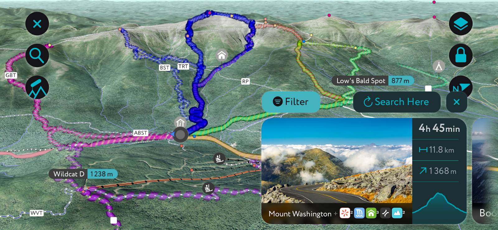
Without further ado, here are some of the most famous hikes in the Appalachian Mountains:
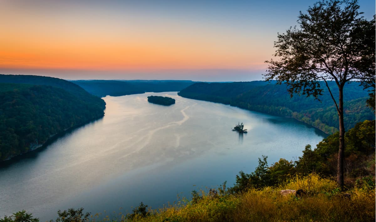
This hike traverses a prominent ridge and boasts views of picturesque Pennsylvania farmland. The Pinnacle (1,634 ft / 498 m) is the highest local point in the region and is said to offer the best views in Pennsylvania.
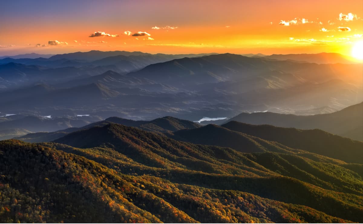
Standing at 6,664 feet (2,025 m) in elevation, Clingman's Dome offers panoramic views of the Great Smoky Mountains. It’s the highest point in the Great Smoky Mountains National Park, the highest point in Tennessee, and one of the highest Appalachian Trail viewpoints from Georgia to Maine.
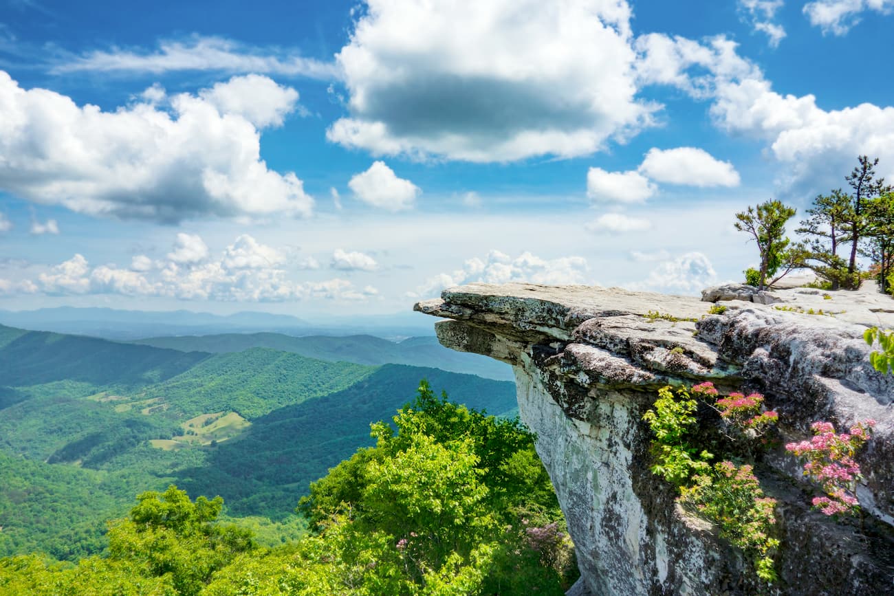
Located in the Roanoke Valley of Virginia, McAfee Knob (3,196 ft / 974 m) is known to be one of the most photographed spots along the Appalachian Trail. This iconic protruding ledge is found atop Catawba Mountain (2,359 ft / 719 m).
Considered a part of the ‘Triple Crown’ of Virginia hiking, along with McAfee Knob and Tinker Cliffs, Dragon’s Tooth sits atop Cove Mountain (2,687 ft / 819 m). The mountain itself is home to various rock formations, but Dragon’s Tooth is an impressive 35-foot spire that towers above the surrounding rock.
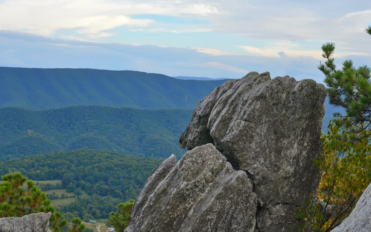
Mount Moosilauke is located at the southwestern end of the White Mountains at an elevation of 4,802 feet (1,464 m). The highlight of hiking Mount Moosilauke is its 360-degree views of the surrounding New England landscape. From the treeless summit, hikers will appreciate views of the Presidential Range, Franconia Ridge, the rest of the White Mountains, portions of the Green Mountains, and the Adirondacks.
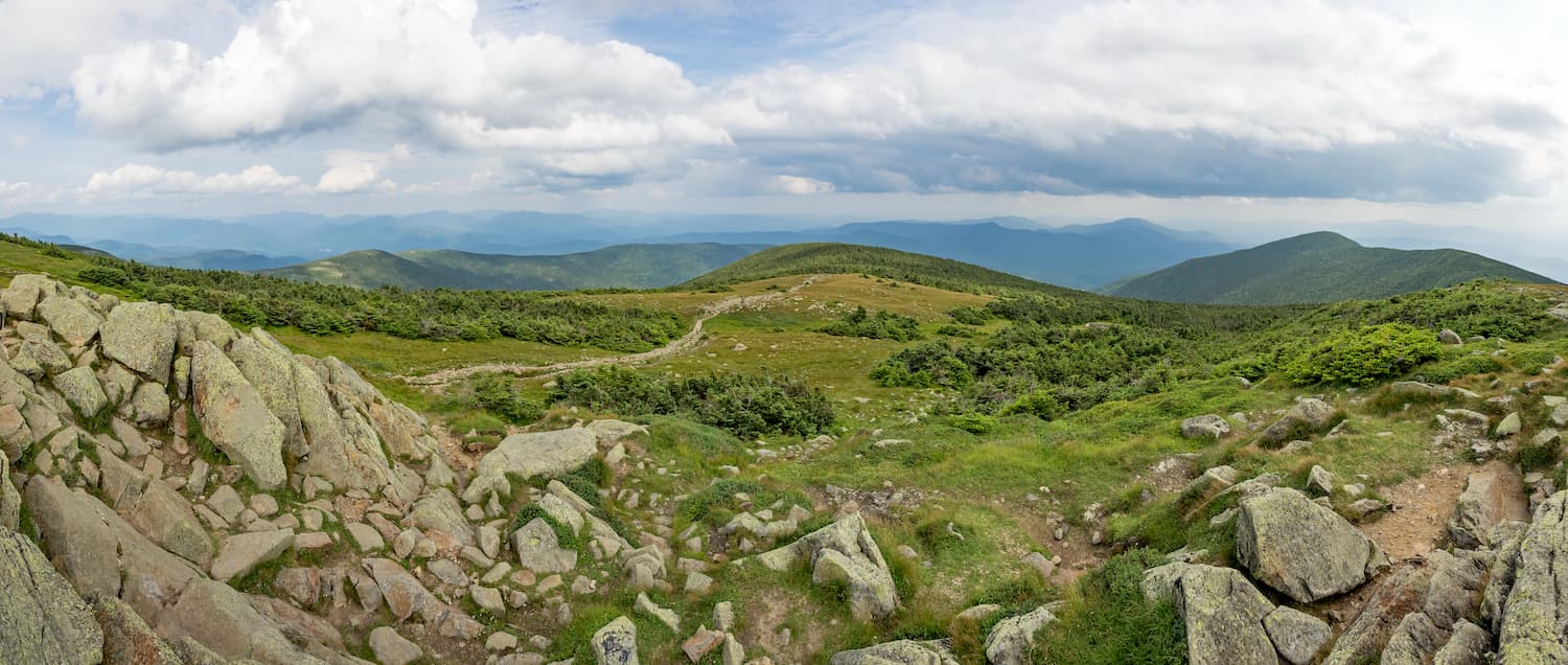
Killington Peak (4,242 ft / 1,293 m) is the second-highest summit in the Green Mountains and a popular hiking and ski area. A gondola transports skiers, mountain bikers, and pedestrian sightseers on the Killington Ski Resort, nicknamed “the Beast of East.” The gondola terminates just shy of the summit and requires an easy 10-minute hike to reach the Killington Peak. A portion of the Appalachian Trail also crosses Killington Peak.
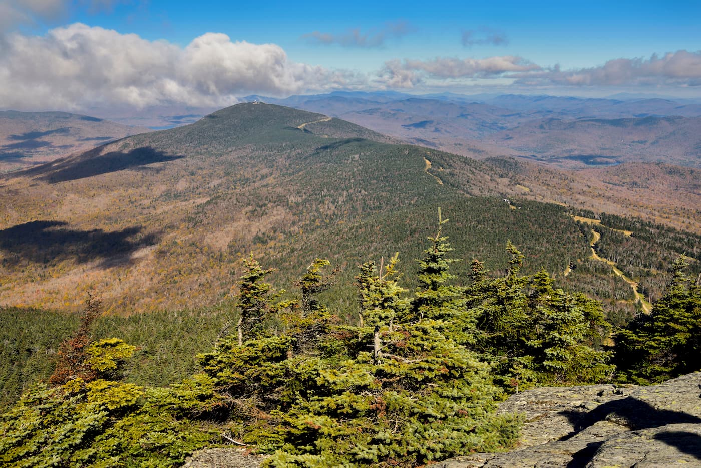
Located in the Blue Ridge Mountains, Springer Mountain is 3,776 feet (1,153 m) high and serves as the southern terminus for the Appalachian Trail. Several trails lead to the top of Springer Mountain, offering various lengths and difficulties. Springer Mountain is considered one of Georgia’s most popular hiking destinations.
The highest mountain in the state of Maine, Mt. Katahdin (5,266 ft / 1,605 m) is the beginning of the Appalachian Trail for southbound hikers. Katahdin is a mile above sea level and requires some boulder scrambling to reach the top. The most intimidating feature of Katahdin is the Knife Edge from South Peak to Pamola Peak, a notorious jagged arête that is only a few feet wide.
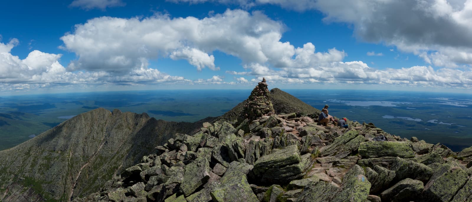
Home to the highest mountains in the northeast, the Presidential Range is a subrange of the White Mountains. Ambitious hikers generally hike the range from north to south, starting with Mount Madison and continuing to Mount Adams, Mount Jefferson, Mount Clay, Mount Washington, Mount Monroe, Mount Franklin, Mount Eisenhower, Mount Pierce, and Mount Jackson.
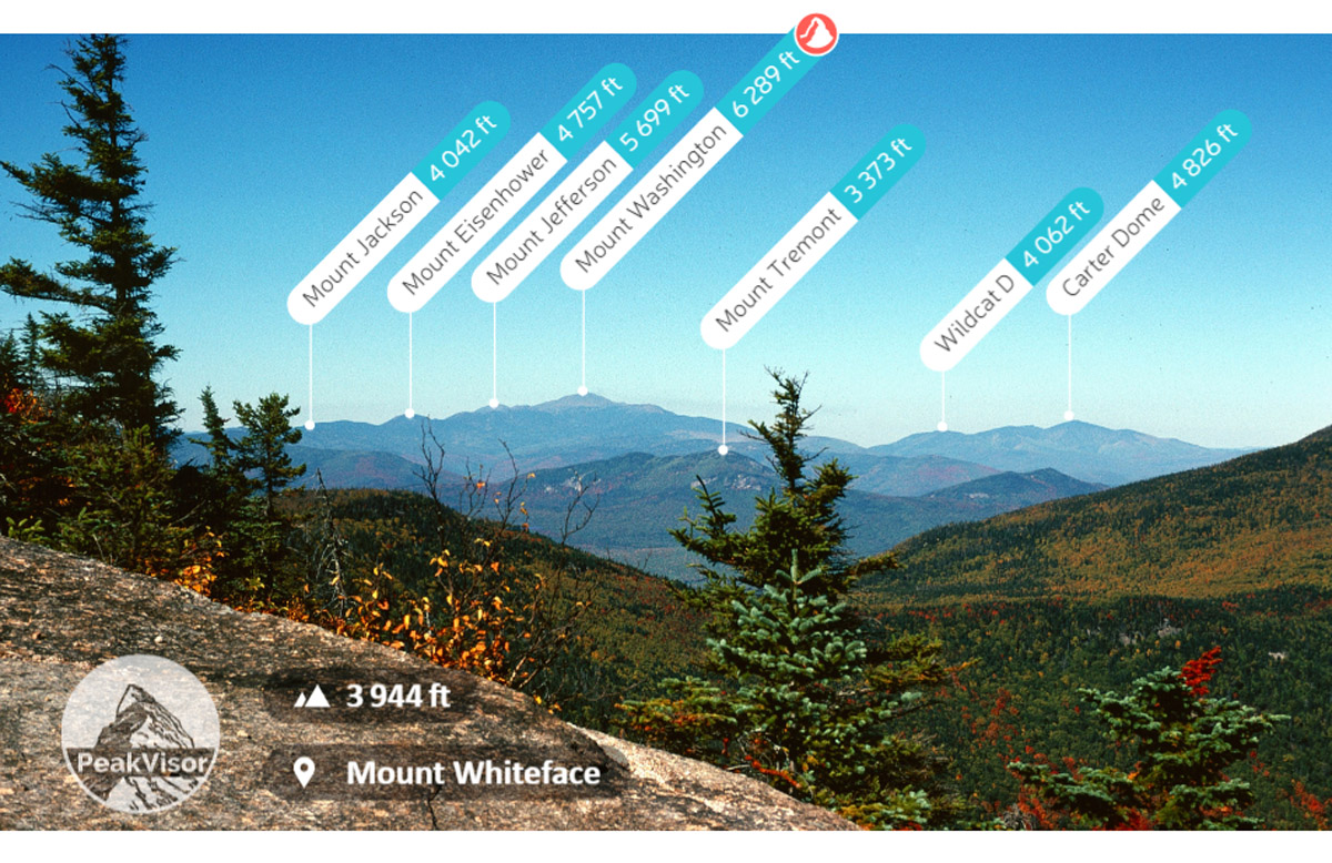
Stowe is a small town nestled at the foot of Mount Mansfield (4,396 ft / 1,339 m), the highest peak in Vermont. A quintessential Vermont ski town, Stowe was once referred to as “Vermont in its purest form.” However, the town’s demographic has shifted in the past couple of decades. Like most notable U.S. ski towns, prices, particularly housing costs and real estate, have driven out many of the “Vermonters” who once lived here.
Still, Stowe is an adorable village and an outdoor enthusiast’s paradise. The centerpiece is the Stowe Mountain Resort, an internationally renowned four-season resort and destination for travelers looking to ski, snowboard, rock climb, hike, or backpack.
The ultimate luxury mountain getaway, Primland is a world-renowned, eco-friendly resort tucked within Virginia’s Blue Mountains. Its aim is to minimize the impact on nature and allow guests to spend their days hiking and exploring the surrounding landscape.
At 3,680 feet, the historic Skyland provides food and lodging at the top of the iconic Skyline Drive in Shenandoah National Park. Skyland offers breathtaking views of the Shenandoah Valley, various hiking trails, and other outdoor recreation opportunities. Lodging ranges from small, rustic cabins to newly renovated premium suites.
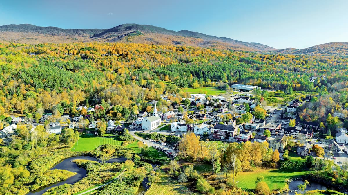
Damascus offers immediate access to high-profile hiking trails like the Appalachian Trail and Virginia Creeper Trail, as well as the nearby Mount Rogers Recreation Area. Every May, a three-day festival, “Trail Days,” celebrates hiking and the outdoors with workshops, art, and live music.
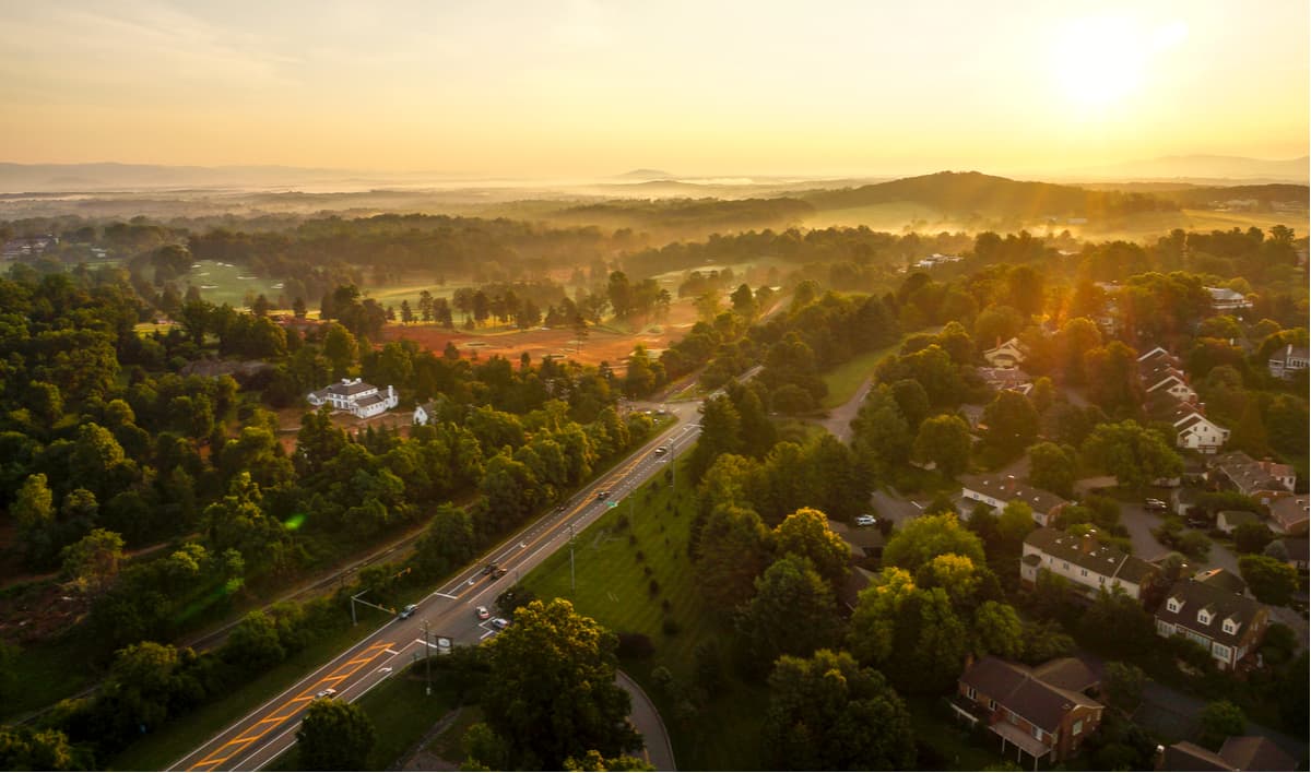
Close to the Blue Ridge Parkway, Charlottesville is an excellent destination for adventurers and travelers looking to spend time in Shenandoah National Park. It’s well known for its “historic hike” meetups and outdoor recreation opportunities.
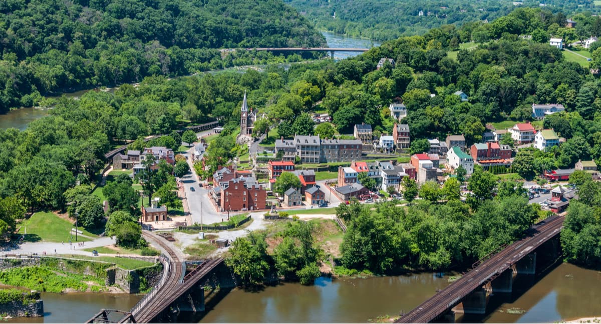
Sitting at the foothills of the Appalachian Mountains along the Tennessee River, Chattanooga’s location on the Cumberland Plateau makes it a top destination for hikers and climbers from around the globe. Chattanooga is surrounded by mountains and ridges, earning it the nickname “Scenic City.”
The quantity of rock climbing around town is staggering, and sport, trad, and boulder-enthusiasts will find several crags to choose from, from Stone Fort and Rocktown to Foster Falls, Denny Cove, and the famed “T-Wall” (Tennessee Wall).

Explore Appalachian Mountains with the PeakVisor 3D Map and identify its summits.


ultra
southern-appalachian-6000ers
nc-5000ers
south-beyond-6000
carolina-lookout-tower-challenge
southern-appalachian-6000ers
nc-5000ers
tennessee-4500ers
south-beyond-6000
carolina-lookout-tower-challenge
fred-beckey-great-peaks
southern-appalachian-6000ers
nc-5000ers
tennessee-4500ers
south-beyond-6000
ultra
new-england-4000ers
nh-4000ers
northeast-115-4000ers
ymca-alpine-club-nh
fred-beckey-great-peaks
ultra
southern-appalachian-6000ers
nc-5000ers
south-beyond-6000
carolina-lookout-tower-challenge
southern-appalachian-6000ers
nc-5000ers
tennessee-4500ers
south-beyond-6000
carolina-lookout-tower-challenge
fred-beckey-great-peaks
new-england-4000ers
maine-3500
northeast-115-4000ers
fred-beckey-great-peaks
southern-appalachian-6000ers
nc-5000ers
tennessee-4500ers
south-beyond-6000
new-england-4000ers
nh-4000ers
northeast-115-4000ers
ymca-alpine-club-nh
