
Scan the QR code and open PeakVisor on your phone
New Brunswick is home to 987 named mountains. The highest is Mount Carleton at 809 m.
Lovingly known as the Picture Province, New Brunswick (Nouveau-Brunswick) is a scenic province in Atlantic Canada that’s known for its stunning coastlines and rich cultural heritage. There are 1,232 named mountains in New Brunswick, the highest and most prominent of which is Mount Carleton (Mont Carleton) at 809m (2,654ft) in elevation.
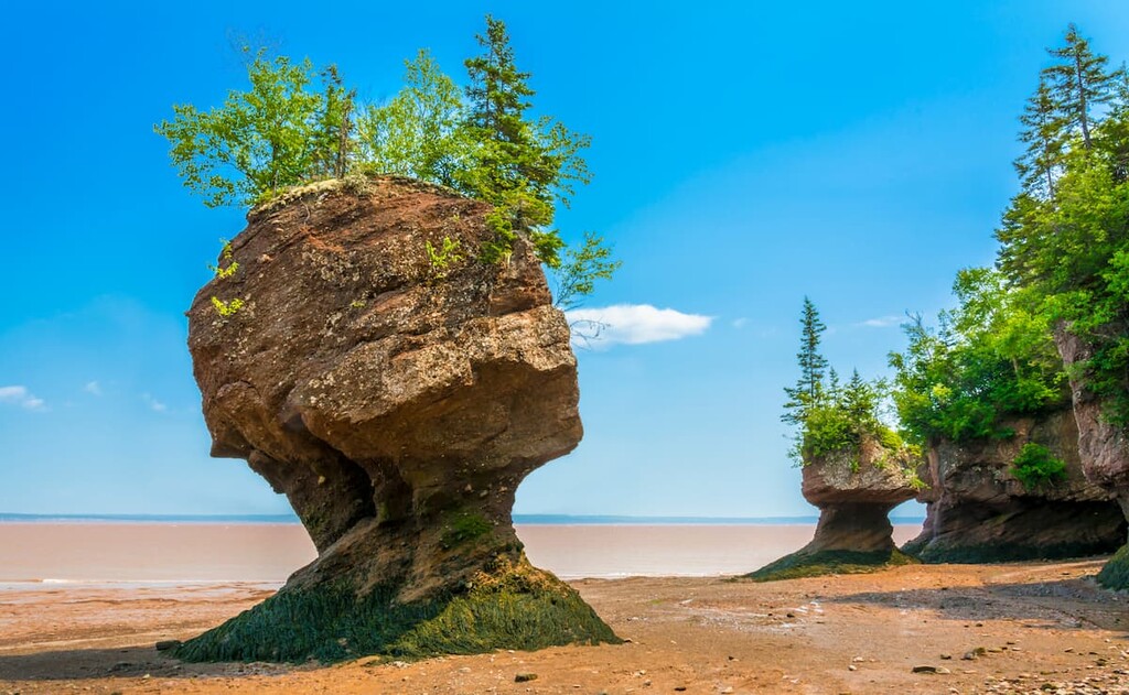
The province of New Brunswick (Nouveau-Brunswick) is located along the eastern shore of Canada. As one of both the Maritime Provinces and one of the Atlantic Provinces, New Brunswick is known for its beautiful coastline and record-breaking tides at the Bay of Fundy.
With a total area of some 72,907 square kilometers (28,150 square miles), New Brunswick is the 11th largest province or territory in Canada. In fact, it comprises just 0.7% of the country’s total land area and it is only bigger than neighboring Nova Scotia and Prince Edward Island.
Nevertheless, with a population of around 775,000 people, New Brunswick is the 8 most populous province or territory in the country, leading Newfoundland and Labrador, Prince Edward Island, Northwest Territories, Nunavut, and Yukon in terms of total population.
New Brunswick’s location along the eastern shore of Canada means that it shares domestic and international land and maritime borders with a number of other provinces and states.

In particular, it is located to the south of the Gaspé Peninsula in Quebec, to the west of Nova Scotia, and to the east of Maine in the United States. The province also shares a maritime border with nearby Prince Edward Island.
Interestingly, after neighboring Quebec, which is home to the vast majority of Canada’s French-speaking population, New Brunswick has the country’s second-largest population of French-speakers.
With about 32% of all New Brunswickers (Néo-Brunswickois) speaking French, New Brunswick has more than 6 times more French-speakers in proportion to its total population than the third most populous Francophone province, Ontario, where only about 4% of the province claims French-speaking abilities.
Furthermore, besides Quebec, which recognizes only French as an official language at the provincial level, New Brunswick is the only province that has a language other than English as its official language. Indeed, New Brunswick is the only province that, as of 2021, recognizes both French and English as co-official languages.
However, it is worth noting that the Northwest Territories and Nunavut, which are territories rather than provinces, both list multiple Indigenous languages as their official languages, as well as English and French. Meanwhile, Yukon Territory has both English and French as an official language.
The province of New Brunswick is officially divided up into 15 counties, which are the province’s first-order administrative districts. These include:
However, as of 1966, with the establishment of the New Brunswick Equal Opportunity Program, the province’s counties no longer hold any official status as political entities. Rather, as the 1966 act abolished county councils, the counties are more of an organizational unit rather than a means of representation at the sub-provincial level.
Despite its small size, the province of New Brunswick is home to a fantastic assortment of natural protected areas.
This includes 2 national parks—Fundy National Park (Parc national Fundy) and Kouchibouguac National Park (Parc national Kouchibouguac)— as well as the unique Roosevelt Campobello International Park.
Furthermore, New Brunswick contains a large number of provincial parks, including:
Additionally, the province of New Brunswick contains a number of federal wildlife areas and national migratory bird sanctuaries. These include:
Finally, the province has its own provincial-level wildlife management areas, such as:
Geologically, New Brunswick is a diverse and complex place. The province contains a complex bedrock geology with varying rock layers, some of which date back as far as 1 billion years. The bedrock in the province contains everything from sedimentary layers to igneous intrusions and sizable regions of widespread metamorphosis.
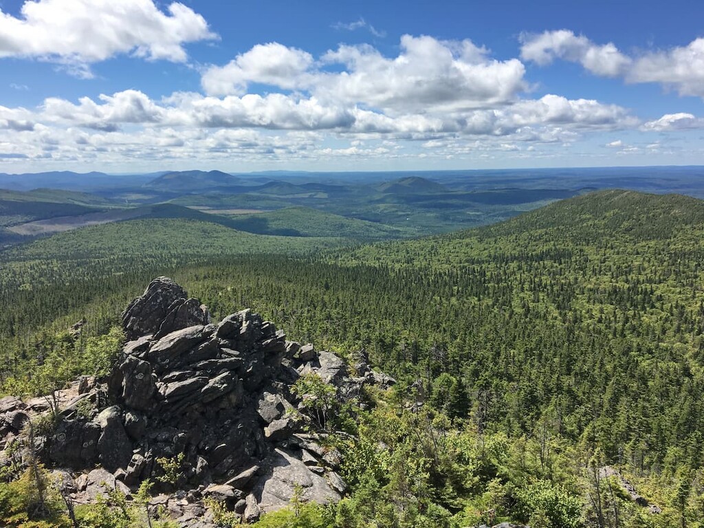
Furthermore, the mountainous regions of the province are home to the Canadian Appalachians (Les Appalaches canadiennes) of the Appalachian Mountains (Les Appalaches). New Brunswick also contains a small section of the Notre Dame Mountains (Monts Notre-Dame) subrange in the northwestern part of the province.
The province also has a long and storied history of resource extraction. The primary mineral resources found within New Brunswick include zinc, iron, lead, copper, indium, tin, molybdenum, tungsten, and even gold and silver.
Major high points within the province include Mount Carleton, Mount Edward, Wilkinson Mountain, Mount DesBarres, and Mount Johnson.
Despite the fact that it is one of the smaller provinces in Canada, New Brunswick is home to a wide array of different ecoregions. These include:
Covering a wide swath of northwestern New Brunswick, the Northern New Brunswick Uplands are known for their warm summers and snowy winters. This area is home to mostly coniferous forests, which are dominated by white and black spruce, balsam fir, and white pine.
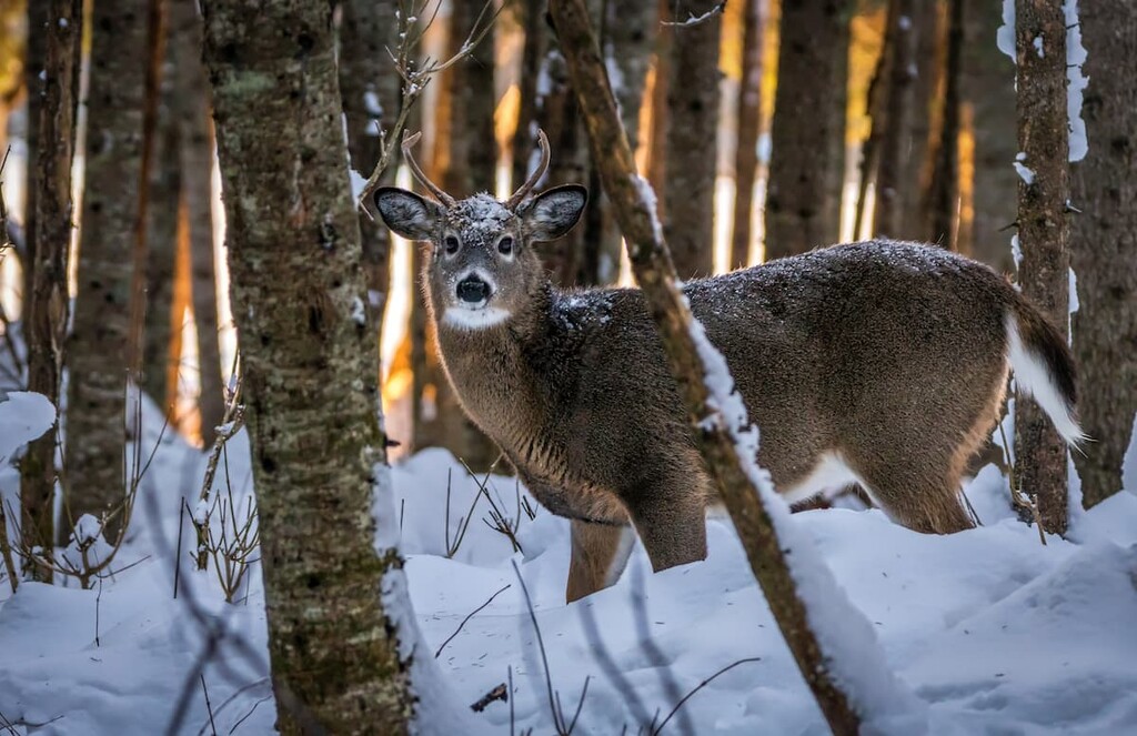
Here, wildlife is particularly abundant and visitors can find everything from black bears and moose to snowshoe hares and bobcats. Indeed, this part of New Brunswick is the most remote part of the province, so it’s a great place to visit if you’re looking to get off the beaten path.
Found in a small section of north-central New Brunswick, the New Brunswick Highlands have a similar climate to the Northern New Brunswick Uplands but with slightly harsher winters due to their higher elevation.
This region is also dominated by coniferous forests. Major species include red spruce, white pine, jack pine, black spruce, white spruce, and balsam fir. However, you can also find some yellow birch and even sugar maple in certain areas.
Like the surrounding Northern New Brunswick Uplands, this region is also home to white-tailed deer, moose, black bears, coyotes, martens, bobcats, and snowshoe hares.
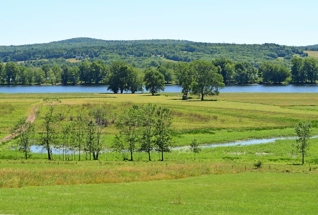
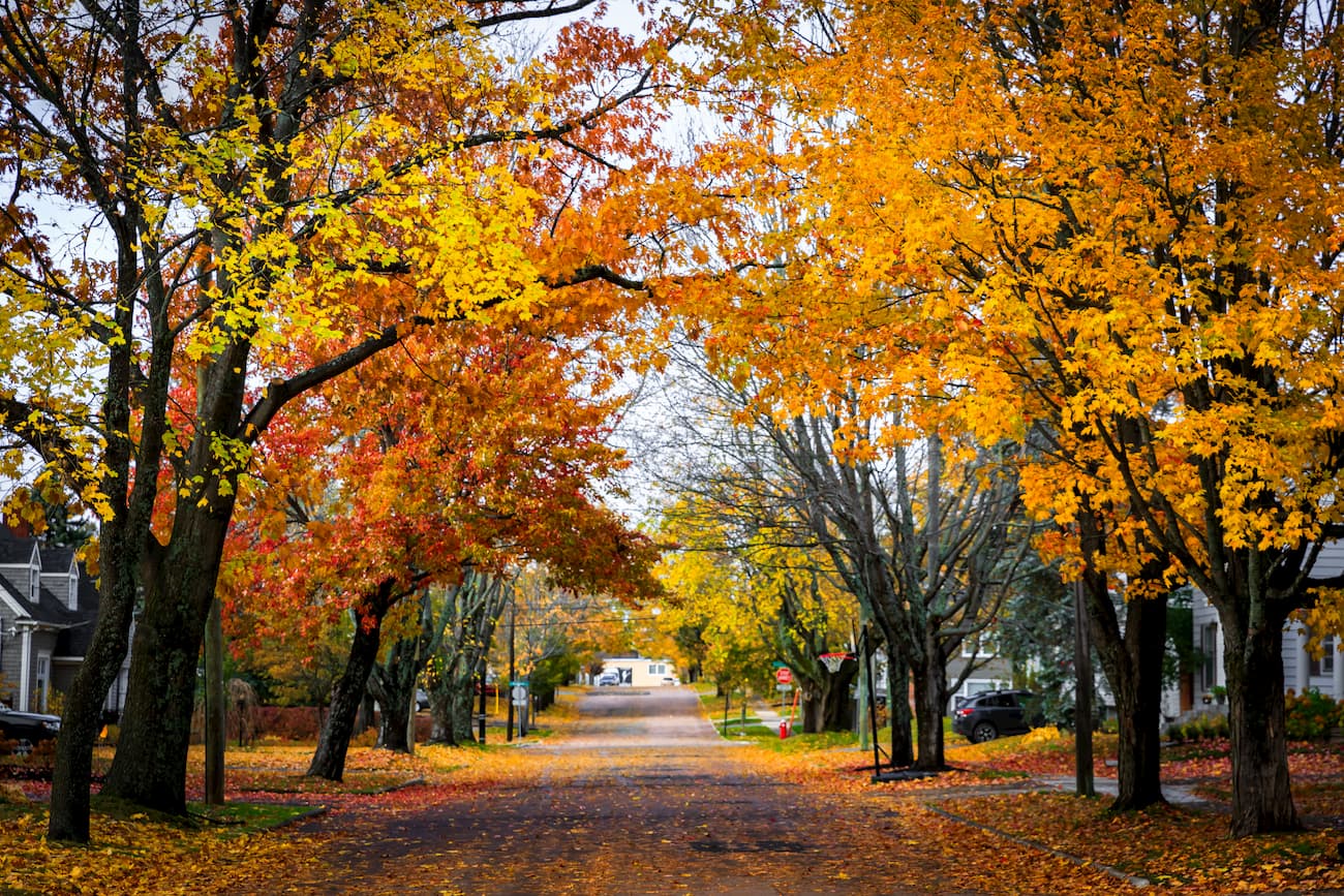
The Saint John River Valley ecoregion stretches along the western border of New Brunswick. Here, the landscape is mostly covered in deciduous forests of yellow birch, beech, white ash, basswood, ironwood, and sugar maple. There are also some stands of black ash, white cedar, red spruce, and white spruce in this region.
That being said, much of the hardwood forests in this region have since been cleared for agriculture, particularly for Christmas tree plantations and orchards, though croplands are also abundant. Wildlife in the region is similar to other parts of rural New Brunswick and includes black bears, moose, beavers ,fishers, porcupines, and coyotes.
The largest ecoregion in New Brunswick, the Maritime Lowlands cover nearly the entire eastern half of the province.
This ecoregion contains mixed forests of both deciduous and coniferous trees. Some of the most common tree species include balsam fir, red maple, eastern white pine, and hemlock, though sugar maple is also quite common. Meanwhile, the many wetlands in the region support both dwarf black spruce, eastern white cedar, and eastern larch.
The Maritime Lowlands are home to some of the largest communities in the province, including the city of Moncton. Therefore, land use varies between urban development, agriculture, recreation, mining, and forestry.
Running down the entire southern coast of New Brunswick, the Southern New Brunswick Lowlands ecoregion is a 40 km (25 mi) wide band of land along the Bay of Fundy and th eSaint John River Valley.
This region is mostly mixed forests though conifers are actually more common at the lower elevations. Tree species here are similar to elsewhere in the province, with various red maples, balsam firs, and white spruce. Furthermore, this region is quite rural, so most of the land is either managed for forestry or agriculture.
New Brunswick’s smallest ecoregion, the Fundy Coast includes just a small section of coastline along the Bay of Fundy. This region has cool summers and mild winters with massive tidal differences of up to 10 m (33 ft) each day in the Bay of Fundy.
Most of the forests are coniferous and are dominated by red spruce, red maple, and balsam fir. There are also large sedimentary deposits throughout the region. That being said, only a small portion of the land is cropland while the rest is mostly managed for forestry or recreational purposes.
Humans have been living in the area that is now called New Brunswick since time immemorial. The region is the ancestral homelands of a number of First Nations, including the Metepenagiag Mi'kmaq Nation, the Eel River Bar First Nation (Ugpi'Ganjig), the Madawaska Maliseet First Nation, and the Elsipogtog First Nation.
Although many of these First Nations gained formal recognition from Canada only within the last few decades or centuries, their connection to the land extends far beyond the arrival of peoples of European descent to the region in the sixteenth century.
The first peoples of European descent to visit what is now called New Brunswick were likely members of Jacques Cartier of France’s 1534 expedition.
Over half a century later, Samuel de Champlain, also of France, famously sailed to the mouth of the Saint John River, which later became the site of one of the earliest European settlements in the region at Saint John. However, the Maliseet had already long been living in the Saint John River (Wəlastək River) Valley for countless generations.
By the eighteenth century, the region that is now New Brunswick was a part of Acadia, which itself was a region of new France. That being said, after the signing of the Treaty of Utrecht in 1713, which ended Queen Anne’s War, much of Acadia was ceded to Great Britain.
The newly British territory of Acadia was eventually incorporated into the colony of Nova Scotia. During the late eighteenth century, many Acadians who had fled the region after it was ceded to Great Britain returned to the area and founded a number of settlements, including what is now Moncton.
In 1784, New Brunsiwck was founded when it was formally separated from the colony of Nova Scotia. It was named for King George III, who also happened to be the heir to the Duchy of Brunswick-Lüneburg in what is now the country of Germany.
The nineteenth century saw a relative influx of immigrants into New Brunswick, particularly from Ireland. Many other immigrants arrived toward the end of the nineteenth century, including a decently large population of Jewish immigrants who arrived starting in the 1890s.
In 1867, New Brunswick, alongside Nova Scotia and the Province of Canada, which included parts of what is now Ontario, Quebec, and Newfoundland and Labrador, joined to form the Dominion of Canada.
During this time, much of New Brunswick’s economy was dependent on the ship building industry and manufacturing. However, the province saw a steep economic downturn during the Great Depression.
These days, however, New Brunswick has a diverse and varied economy that includes ship building, forestry, agriculture, transportation, oil, and tourism. The province is also one of the world’s main producers of maple syrup, though it does trail the much larger neighboring Quebec in terms of total production.
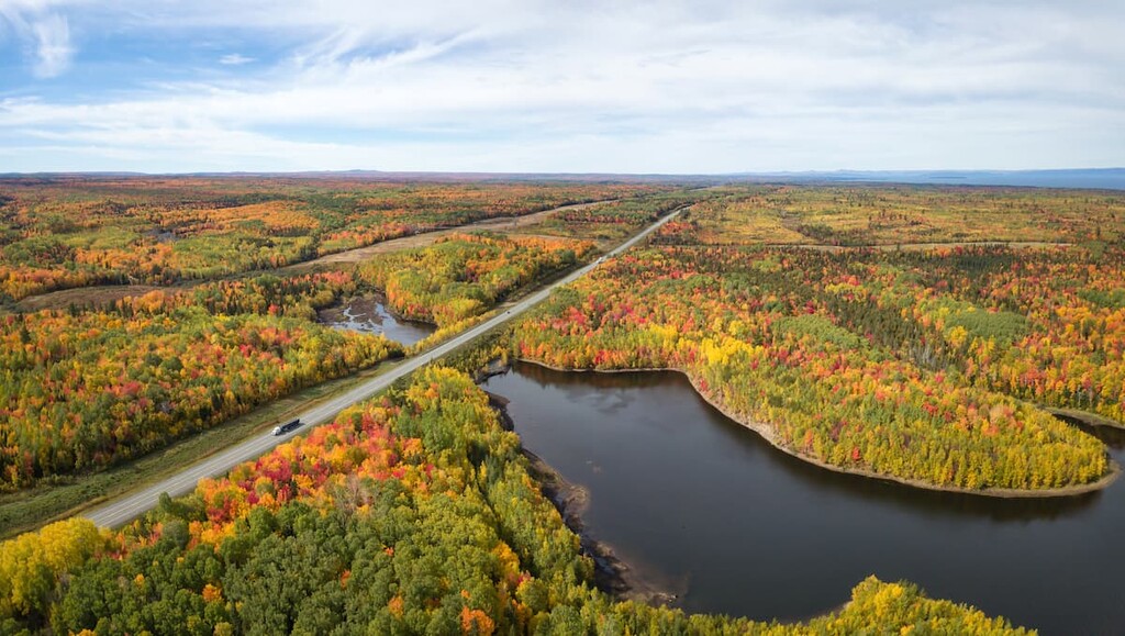
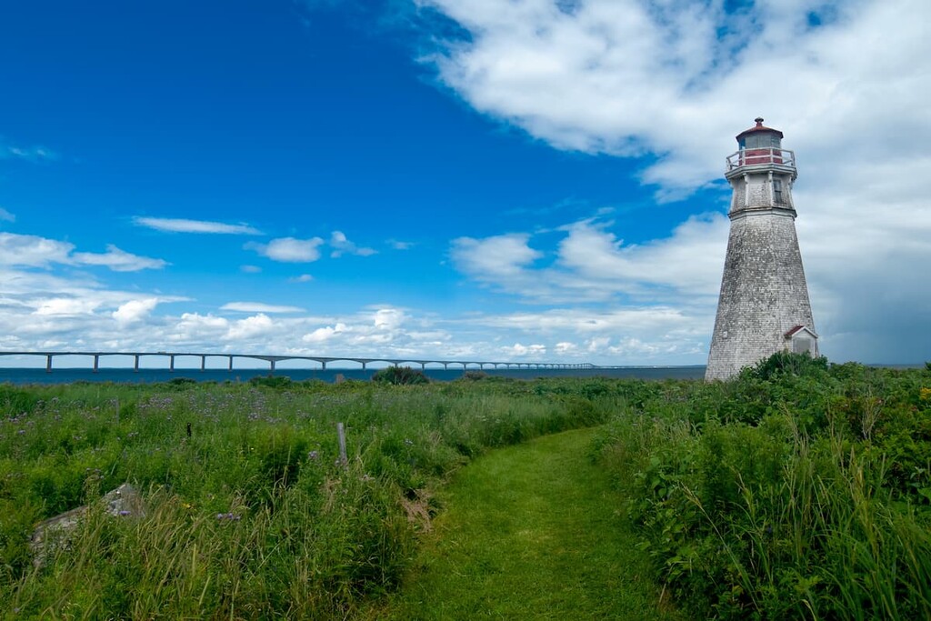
That being said, tourism is a rapidly growing industry in New Brunswick. In addition to the province’s 2 national parks, it is also a popular stopping point for cruise ships, particularly at the Port of Saint John. So, it’s a great place to visit if you’re looking to see some stunning forests and coastlines as well as the world’s largest tides at the Bay of Fundy.
New Brunswick is home to some truly amazing hiking destinations. Here are some of the best places to check out when visiting the province:
Located on the southern shores of New Brunswick to the south of Moncton, Fundy National Park (Parc national Fundy) is one of the province’s main outdoor recreation destinations. The park contains 9 named mountains, the highest and most prominent of which is Rossiter Hill.
Fundy National Park is known for being home to the world’s largest tides. In the Bay of Fundy, tidal differences can be as high as about 12 m (38 ft), which far outpaces average tidal ranges around the world of just 1 to 2 meters (3 to 6 ft).
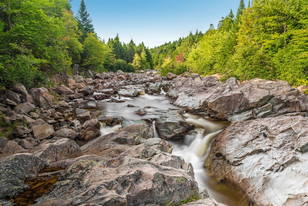
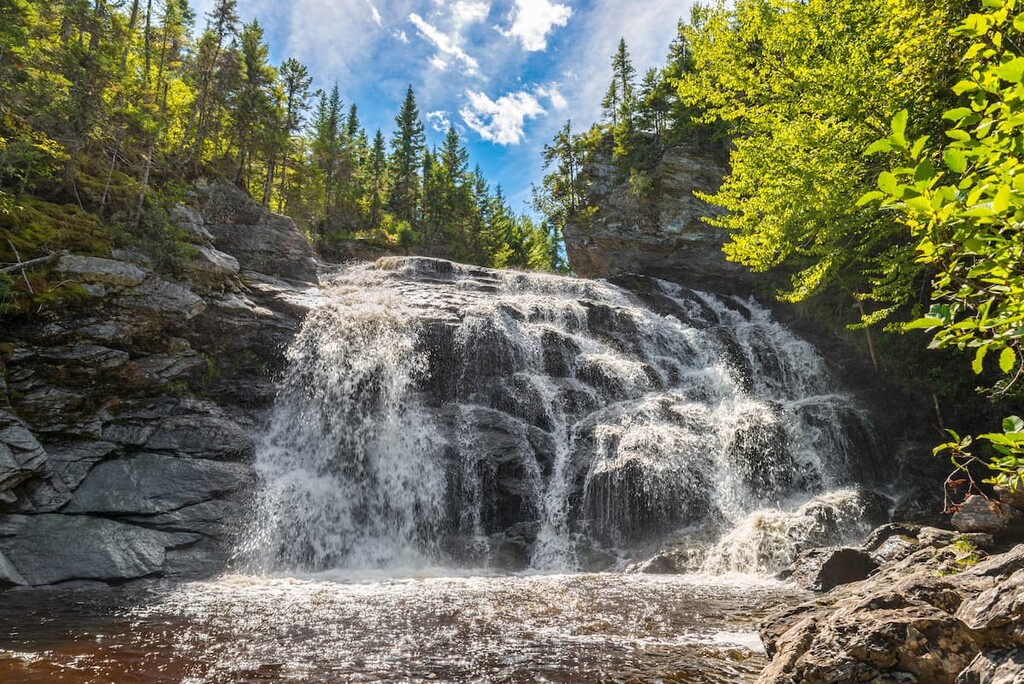
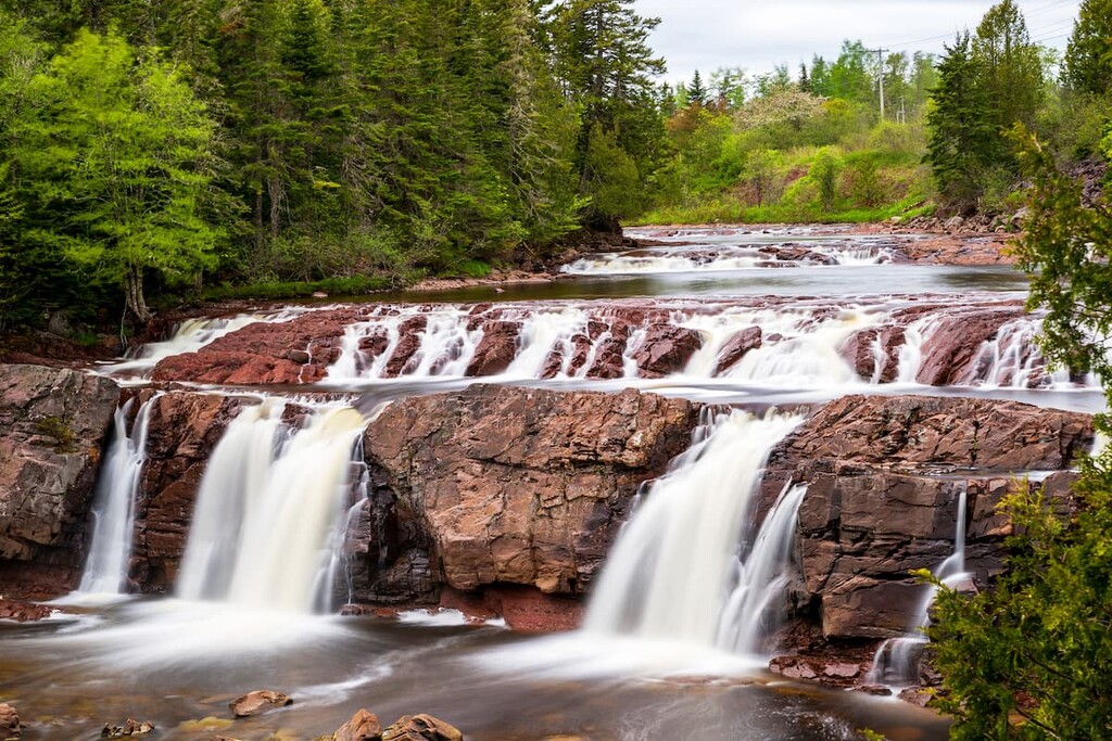
The park also contains more than 2 dozen hiking trails and plenty of great waterfalls to check out during your visit. There are also snowshoeing and skiing opportunities in the park during the winter months.
New Brunswick’s second national park, Kouchibouguac National Park (Parc national Kouchibouguac) is situated on the eastern shores of the province to the southeast of the town of Miramichi. It contains 6 named high points, the highest and most prominent of which is Pointe à Auguste.
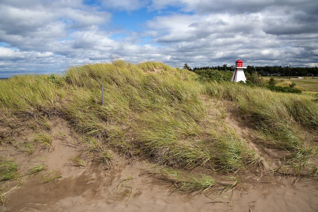
The park is one of New Brunswick’s most popular hiking and camping destinations. It boasts a number of sand dunes, salt marshes, and lagoons, which make it a great place to roam around the landscape.
Kouchibouguac is also a very important bird sanctuary in the region as it is home to both a massive tern colony and the endangered piping plover. Furthermore, the park contains a number of colonies of both grey and harbour seals.

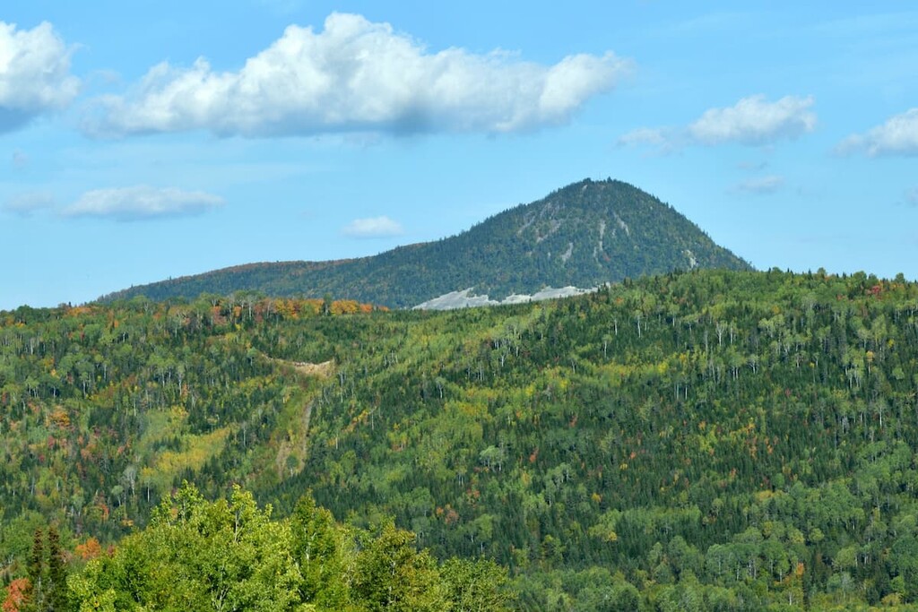
Home to New Brunswick’s highest peak, Mount Carleton Provincial Park (Parc provincial Mont-Carleton) is a superb hiking area situated in the northern part of the province. It contains 16 named mountains, the highest and most prominent of which is Mount Carleton.
As the largest provincial park in New Brunswick, Mount Carleton is the perfect place to visit if you’re looking to get off the beaten path. Its large size and relative remoteness have given it a reputation as one of the gems of the Maritime Provinces.
Within the park, there are more than 10 different hiking trails for visitors to enjoy. There are also a number of camping areas, as well as some cabins, that are available for overnight stays.
For skiing and snowboarding enthusiasts, there are more than 5 ski resorts in New Brunswick, which are located throughout the region.
The largest ski resort in New Brunswick is Crabbe Mountain with more than 20 km (12 mi) of slopes and more than 3 ski lifts. Other major areas for skiing in New Brunswick with more than 10 km (6 mi) of slopes and more than several ski lifts each include Poley Mountain, Sugarloaf Provincial Park, and Mont Farlagne. These are also the main ski resorts near Fredericton, the capital and the largest city in New Brunswick.
Check the New Brunswick ski resorts map on the larger Canada ski resorts map in the World Mountain Lifts section of the site. It includes information about open ski lifts / slopes in New Brunswick in real-time with opening dates and hours. There are also year-round cable cars, funiculars, cog railways, aerial tramways, and all other types of mountain lifts.
Looking for a place to stay in New Brunswick? Here are some of the best cities to check out:
Located in the southeastern part of the province, Moncton is the largest city in New Brunswick as well as its major population center. The city was once one of the major ship building hubs for the entirety of Canada, though it has since redeveloped its economy into a number of varied industries.
Moncton is now a hub for both culture and commerce in the Maritimes as it contains a number of important theaters, museums, and cultural centers. It is also a particularly important center for higher education in the Maritimes as it contains a number of universities, including the Université de Moncton, which is Canada’s largest francophone university outside of Quebec.
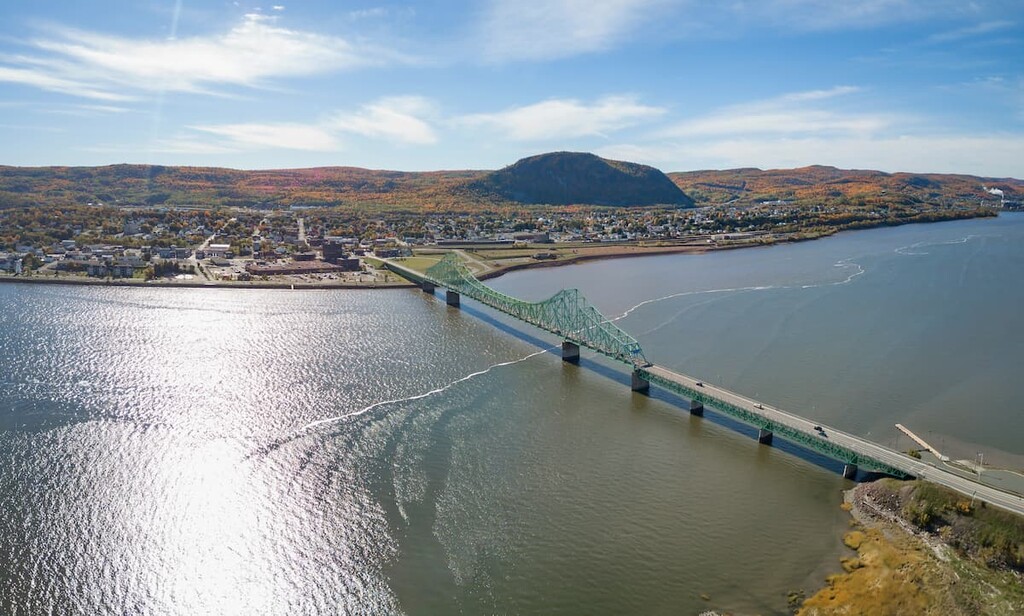
Situated just across the border from Quebec in the northern part of New Brunswick, Campbellton is a popular tourist destination in the province.
Although it is a relatively small city with around 7,000 residents, Campbellton is a favorite destination among sport anglers in the region. It’s also a great place to visit in the province if you’re looking to do a bit of skiing as it has both nordic and alpine skiing opportunities.
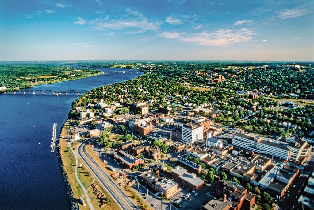
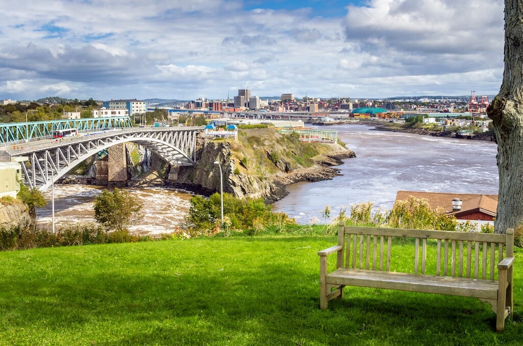
The oldest European-founded incorporated city in Canada, Saint John is a community of some 70,000 people located on the southern shores of New Brunswick. It was actually once the largest city in the province, but it lost that title to Moncton in 2016.
These days, Saint John is a bustling community that’s popular among tourists. Its harbor is a frequent port of call among cruise ships in the region, which has helped bring a lot of tourism to the area. Furthermore, the city is just a short drive from Fundy National Park, so it’s a great place to start your adventures in the province.
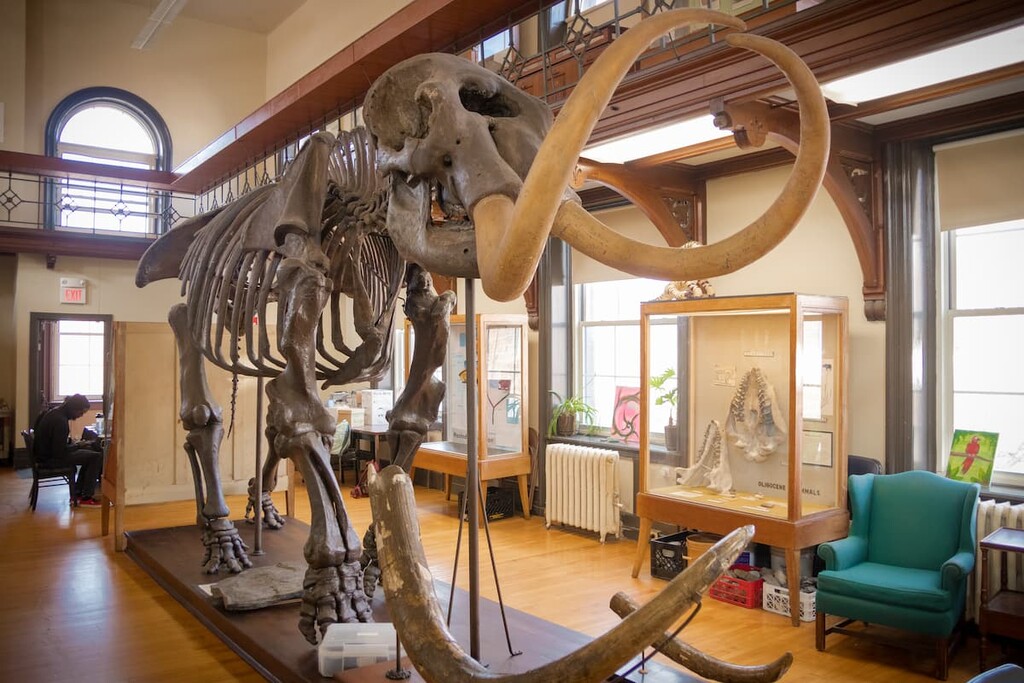
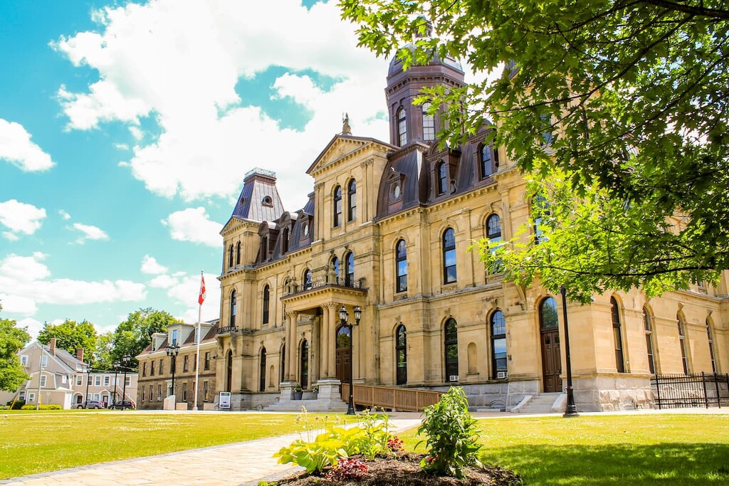
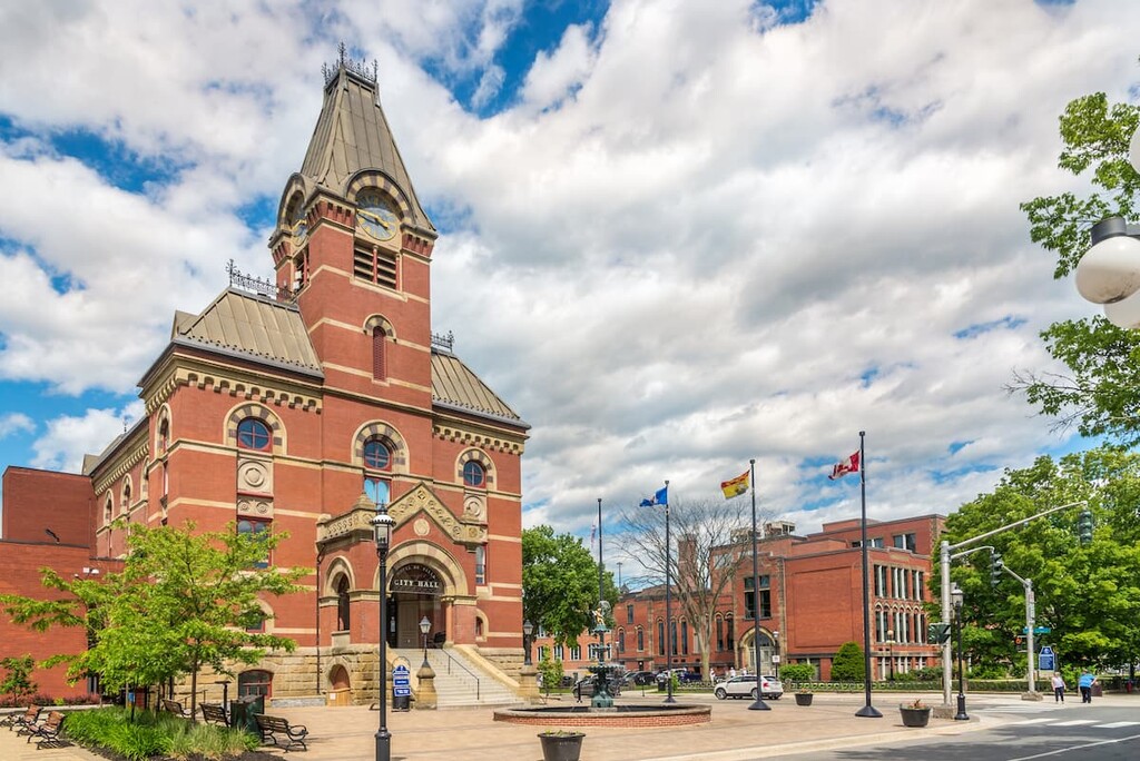
The capital of New Brunswick, Fredericton is located in the west-central part of the province to the north of Saint John. With a population of around 60,000 people, it is the third-largest city in the province as well as one of its major cultural centers.
Fredericton is particularly well-known for its arts scene, thanks to its many annual festivals and its many notable theaters. It also has a number of higher education institutes, which are a central part of its economy.


Yes. New Brunswick has 987 named mountains. The highest is Mount Carleton at 809 m.
The highest mountain in New Brunswick is Mount Carleton, at 809 m.
New Brunswick has 987 named mountains.


