
Scan the QR code and open PeakVisor on your phone
Canada is home to 24,869 named mountains, including 5 fourteeners. The highest is Mount Logan at 5,959 m.
Canada, which occupies the northern half of North America, is the second largest country on earth. Spanning the Atlantic Ocean to the east, Pacific Ocean to the west, and Arctic ocean to the north, Canada is home to the longest coastline of any country.
The country has an incredibly diverse geography ranging from rugged alpine peaks to vast fields of open prairie and farmland. Some of the most significant landforms in Canada include the Appalachian Mountains, St. Lawrence River, Canadian Shield, Great Lakes, Great Plains, and Western Cordillera. In fact, based on a unique geological history, Canada is often divided into six regions characterized by landscape: the Canadian Shield, Interior Platform, Appalachian Orogen, Innuitian Orogen, Cordillera and Western Canada Sedimentary Basin, and Eastern Continental Margin.
The largest part of Canada, however, is northern Canada, the Canadian Arctic, which is a seemingly endless tundra north of the tree line. The Canadian Arctic tundra encompasses over a million square miles and is characterized by extreme climate conditions and long, freezing winters.
There are 24869 named mountains in Canada. The highest and the most prominent mountain is Mount Logan, which is found in the St. Elias Mountains.
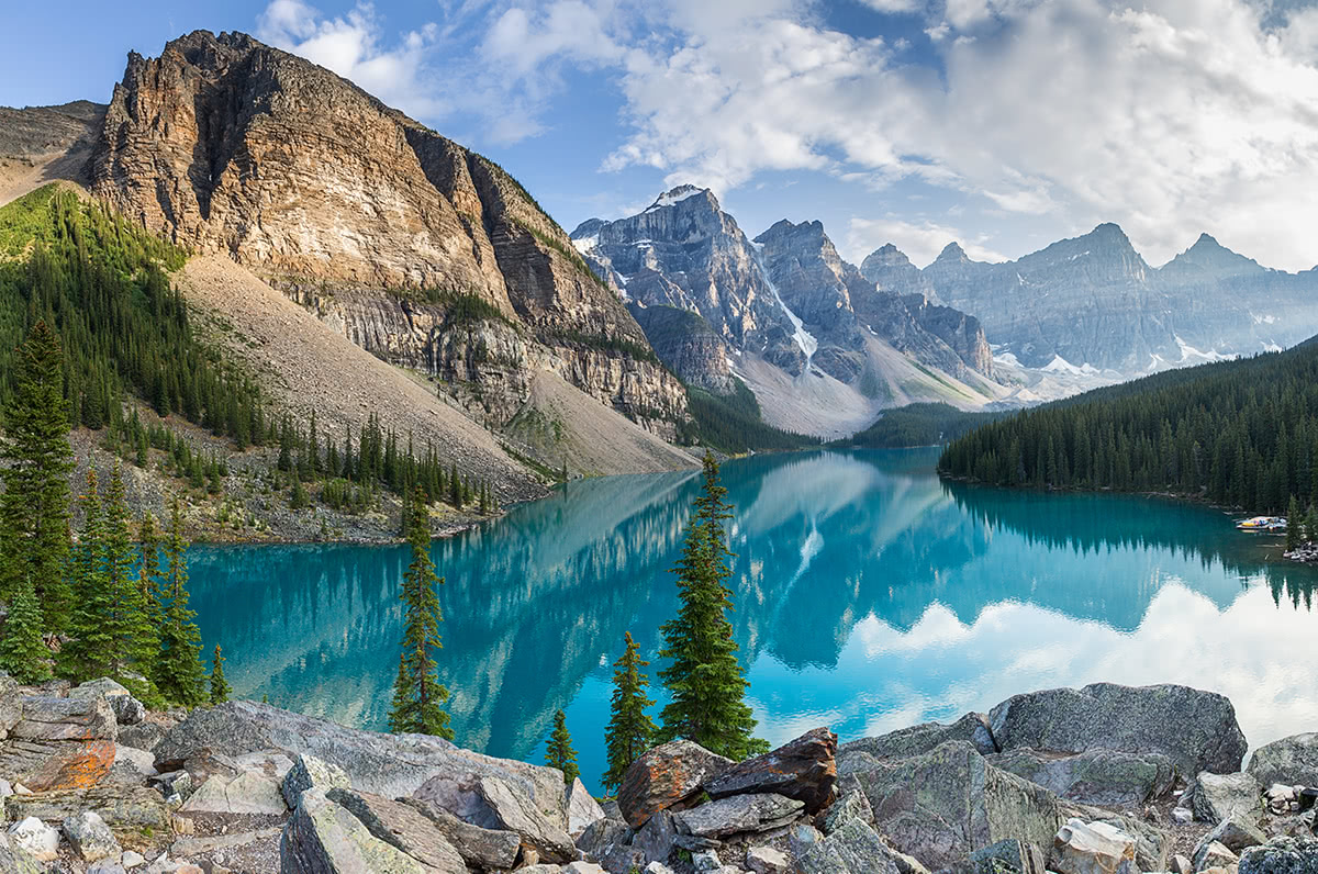
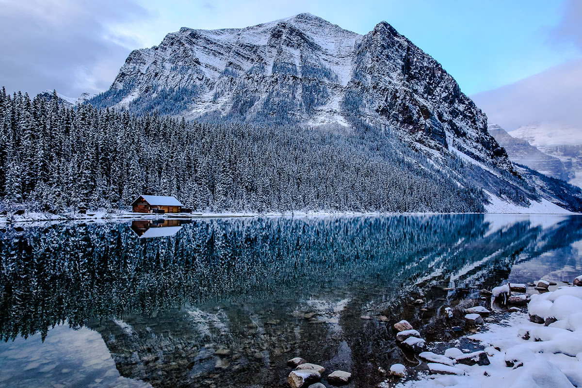
Moraine Lake, Banff National Park, Alberta
Canada includes many diverse geographical areas and five individual regions.
Located on the east coast of Canada, Atlantic Canada is considered to be one of Canada’s most recognizable regions. Characterized by dense forests, hills, and rocky cliffs, the Atlantic region contains a small collection of islands and peninsulas that extend into the Atlantic Ocean.
There are several noteworthy Atlantic region mountain ranges. The Torngat Mountains, a mountain range found on the northern tip of Newfoundland and Labrador, lie in an arctic tundra above the treeline. Subranges in the Torngat mountains are separated by deep fjords and steep rock walls. High peaks in this region include Mount Caubvick (also referred to as Mount D’lberville), Cirque Mountain, and Mount Cladonia.
The Canadian Appalachians, which extend from the US Appalachians, part of the infamous Appalachian Trail, extend from New England states in the United States up through New Brunswick, Newfoundland, and Quebec. The Appalachians and surrounding landscape are often referred to as the Appalachian region. In Canada, the range is mostly hills, but a few of the most notable mountains include Mount Carleton, the highest peaks in the Canadian Appalachians, Mont Jacques-Cartier, and Mont Richardson.
On the island of Newfoundland, the Lone Range mountains form the northernmost section of the iconic Appalachian Mountains. The Lone Range mountains are not particularly high in elevation, but contain popular peaks like The Cabox, Gros Morne, and Blue Mountain.
The Mealy Mountains, another notable range in the Atlantic region, cover 26,495 km and contain ten unique ecoregions. The Mealy mountains have the potential to become the fourth national park in Newfoundland and Labrador.
Central Canada, which consists of Canada’s two largest and most populated provinces, is part of the Canadian Shield. However, the region isn’t actually in the center of the country. Although the mountains in this part of the country tend to be relatively low in elevation, they construct a striking landscape and offer ample outdoor recreation.
The Laurentides Range, one of the oldest mountain ranges in the world, sit across the U.S. border to the south. In fact, the Adirondack Mountains in New York State are an extension of the Laurentians. The highest point in the Laurentides is just 3,842 feet at the top of Mont Raoul Blanchard.
The Blue Mountains lie in southern Ontario on the edge of Lake Huron. The Blue Mountains’ namesake mountain, Blue Mountain, contains a popular ski resort and offers renowned skiing, snowboarding, snowshoeing, and cross-country skiing.
Some of the popular peaks in this region of Canada include Ishpatina Ridge, Maple Mountain, and Silver Peak.
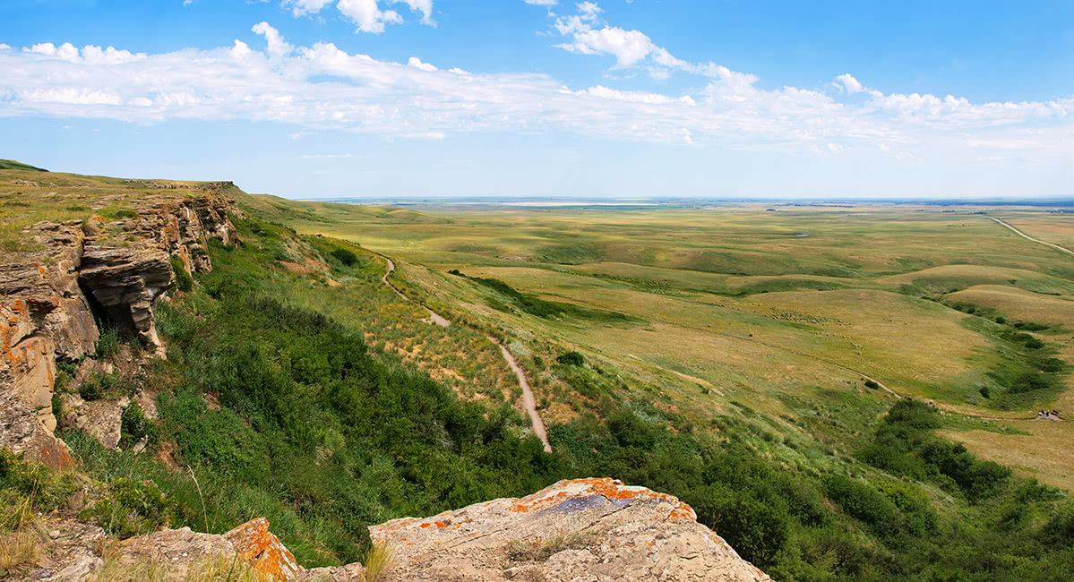
The Prairie Provinces are some of the most fertile farmlands in the world. Stretching between Ontario to the east and the Rocky Mountains to the west, this area is characterized by extensive grasslands. In fact, the Prairies are nicknamed the “breadbasket” of Canada, because this region contains more than 80% of Canada’s farmland.
The western region of Canada, which has also been referred to as “the West,” generally contains British Columbia, though it is also said to include parts of Manitoba, Saskatchewan, and Alberta. There is quite a bit of debate on what is or is not considered part of the western region.
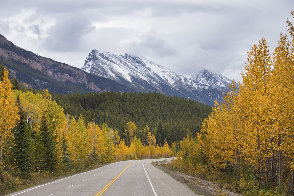
Ice Field Highway
Still, the region is characterized by significant volcanoes and majestic alpine peaks. The Canadian Rockies, one of the country’s most prominent mountain ranges, form a 900-mile border between the provinces of British Columbia and Alberta. The Canadian Rockies are often subdivided into several iconic subranges and contain monoliths like Mount Robson, Mount Columbia, North Twin Peak, Mount Alberta, and Mount Assiniboine. You’ll also find several of Canada’s most famous national parks, Banff, Jasper, Kootenay, and Yoho, in western Canada.
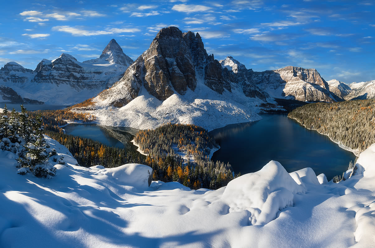
Mount Assiniboine (l), Sunburst Peak (r), British Columbia
Western Canada is also home to the Coast mountains, Cassiar mountains, and Columbia Mountains. The landscape is notably more rugged than nearby regions. In fact, one-third of British Columbia contains just barren alpine tundra, icefields, and glaciers.
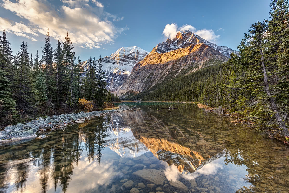
Mount Edith Cavell
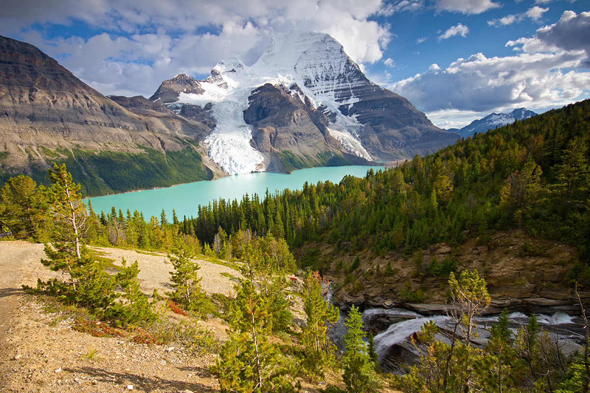
Mount Robson, Berg Lake, British Columbia
The vast northern region of Canada is typically subdivided into two smaller regions: the north and far north. The far north region is said to contain the Canadian Arctic, which lies east of Alaska and west of Greenland. This region covers about 39% of the country’s land area, but only 1% of the population.
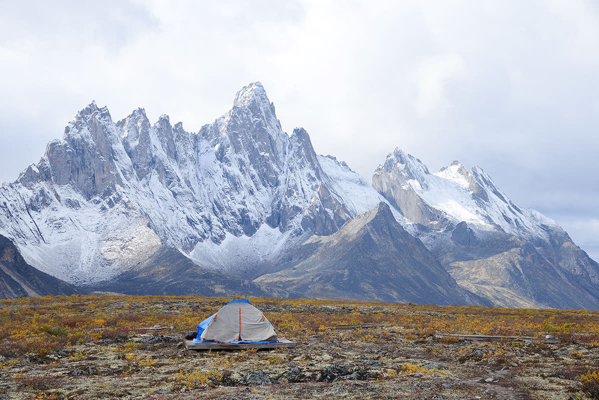
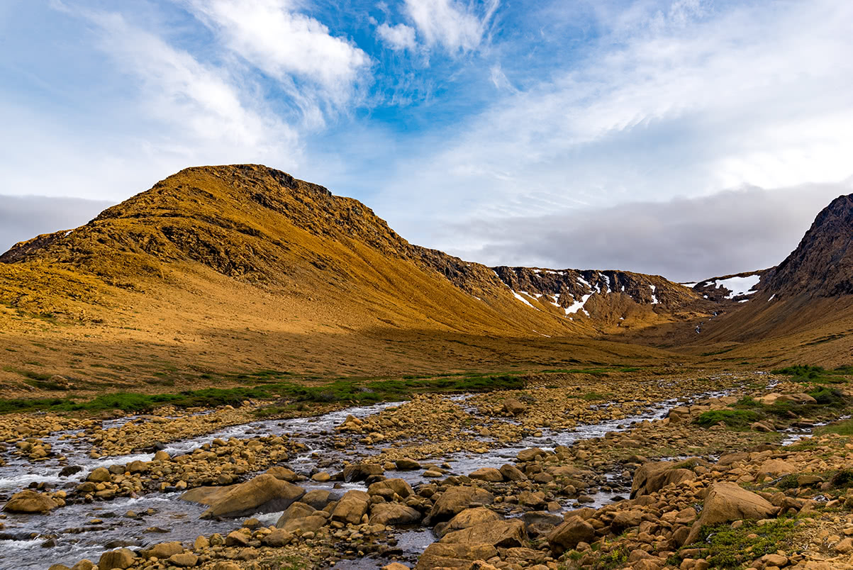
Tombstone Territorial Park
The North is often considered one of the more mysterious and remote parts of the country. In fact, nearly 90% of the land in the three territories of this region is uninhabitable and barren. The Canadian north is often referred to as “the land of the midnight sun,” due to its proximity to the Arctic Circle.
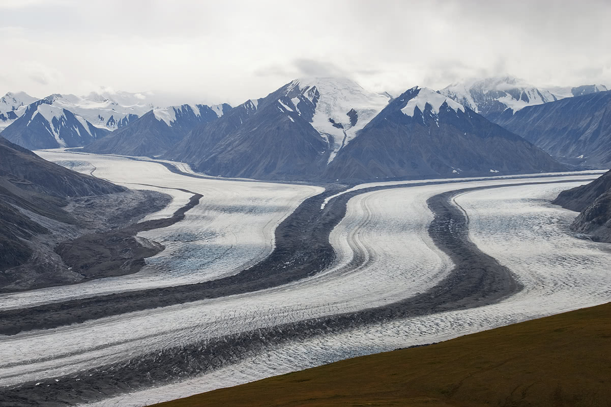
The Saint Elias Mountains, a subgroup of the Pacific Coast Ranges, is generally considered a part of the northern region of Canada, despite being found in northwestern British Columbia. The range includes several peaks above 17,000 feet including the iconic Mount Logan, as well as notable peaks like Mount St. Elias, Mount King, and Mount Lucania.
Fairview Mountain, Banff National Park
If weather calls for rain, be cautious trekking to higher elevations or along steep mountain trails. Climate and weather in high-altitude hiking areas can change at any moment, pack layers of clothing and waterproof gear, just in case.
Several Canadian National Parks recommend that you not hike alone. However, if you decide to trek into the backcountry by yourself, let someone know where you will be and when you plan to return.
There are ticks in parts of Ontario, B.C., Manitoba, New Brunswick, Nova Scotia, and Quebec. Wear light clothing that covers your skin and appropriate footwear to cover your feet. Make sure to check exposed skin during breaks in hiking and use repellent when possible.
Canada is home to dangerous predators including polar bears, grizzly bears, black bears, cougars, and gray wolves. Do some research before hitting the trail to understand what type of wildlife you might encounter. It’s important to learn how you should or should not react if you cross paths with a predator. Making noise while hiking may deter animals from approaching, but this is not guaranteed.
The Alpine Club of Canada offers what is considered the most extensive network of backcountry huts in North America. Huts can be reserved online up to a year in advance and cost approximately $30-$40/night. There are over 30 huts available through the Alpine Club of Canada, 5 huts are located in the BC Parks area: Elk Lakes Cabin, Woodbury Cabin, Silver Spray Cabin, Kokanee Glacier Cabin, and Conrad Kain Hut. Huts are communal, not private, but offer a unique way to experience some of Canada’s most iconic mountain landscapes. Aside from the huts offered by the Alpine Club of Canada, there are quite a few additional huts in the country available to hikers.
Like the Alpine Club in Great Britain, the Alpine Club of Canada was created to give eco-friendly outdoor enthusiasts an opportunity to experience the Canadian wilderness. Interestingly, it was created to promote equality between men and women within the mountaineering and climbing community. The Alpine Club of Canada is also responsible for conservation efforts throughout Canada.
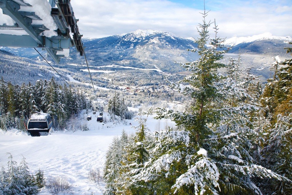
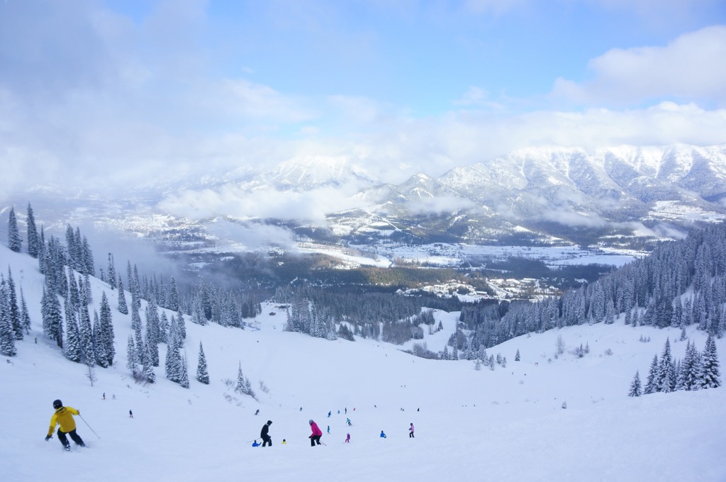
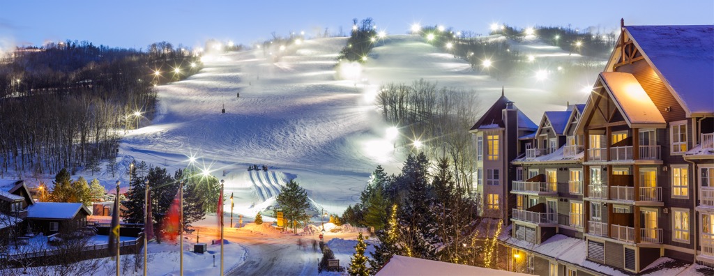
For skiing and snowboarding enthusiasts, there are almost 300 ski resorts in Canada. They are located throughout the country or rather along its livable southern borders, given its vast territory going far beyond the Arctic Circle. At the same time, the resorts are concentrated in two large clusters in the west and east of the country, with a small “gap” in the middle, where there are only individual resorts. On the administrative map of Canada, the major ski region is British Columbia, where the most resorts are located, including also the largest of them. The two other major ski regions are Ontario, Quebec, and Alberta.
The largest ski resort in Canada is Whistler Blackcomb in British Columbia with more than 200 km (124 mi) of slopes and more than 25 ski lifts in total.
Other major areas for skiing in Canada with more than 100 km 62 (mi) of slopes and more than 5 ski lifts each include the following in descending order of size:
The main ski resort near Ottawa, the capital of Canada, is Camp Fortune with more than 20 km (12 mi) of slopes and more than 5 ski lifts. The main ski resorts near the largest Canadian cities are the following:
Check the Canada ski resorts map in the World Mountain Lifts section of the site. It includes information about open ski lifts / slopes in Canada in real-time with opening dates and hours. There are also year-round cable cars, funiculars, cog railways, aerial tramways, and all other types of mountain lifts.


ultra
4000ers-canada
canada-sampler
yukon-ultras
14er
ultra
glacier
4000ers-canada
alaska-13ers
fred-beckey-great-peaks
canada-sampler
alaska-ultras
yukon-ultras
ultra
4000ers-canada
canada-sampler
yukon-ultras
14er
ultra
4000ers-canada
alaska-13ers
alaska-ultras
yukon-ultras
14er
ultra
4000ers-canada
11ers-bc
alaska-13ers
canada-sampler
british-columbia-ultras
alaska-ultras
ultra
4000ers-canada
canada-sampler
yukon-ultras
14er
ultra
4000ers-canada
11ers-bc
alaska-13ers
canada-sampler
british-columbia-ultras
alaska-ultras
14er
ultra
glacier
4000ers-canada
alaska-13ers
fred-beckey-great-peaks
canada-sampler
alaska-ultras
yukon-ultras
ultra
glacier
4000ers-canada
11ers-bc
fred-beckey-great-peaks
canada-sampler
british-columbia-ultras
ultra
4000ers-canada
canada-sampler
yukon-ultras
14er
ultra
4000ers-canada
alaska-13ers
alaska-ultras
yukon-ultras
ultra
11ers-bc
11ers-ca-rockies
fred-beckey-great-peaks
canada-sampler
british-columbia-ultras
ultra
11ers-bc
canada-sampler
british-columbia-ultras
ultra
11ers-bc
canada-sampler
british-columbia-ultras
Yes. Canada has 24,869 named mountains. The highest is Mount Logan at 5,959 m.
The highest mountain in Canada is Mount Logan, at 5,959 m.
Canada has 24,869 named mountains.
Canada has 5 fourteeners — peaks above 14,000 ft (4,267 m).


