Get PeakVisor App
Sign In
Search by GPS coordinates
- Latitude
- ° ' ''
- Longitude
- ° ' ''
- Units of Length

Yes
Cancel
❤ Wishlist ×
Choose
Delete
The northernmost continuation of the Appalachian Mountains, the Canadian Appalachians are a system of mountain ranges located in the Canadian provinces of Québec, New Brunswick, Newfoundland and Labrador, Prince Edward Island, and Nova Scotia. Within the range, there are 3,850 named mountains, the highest and most prominent of which is Mont Jacques-Cartier (1,276m/4,186ft).
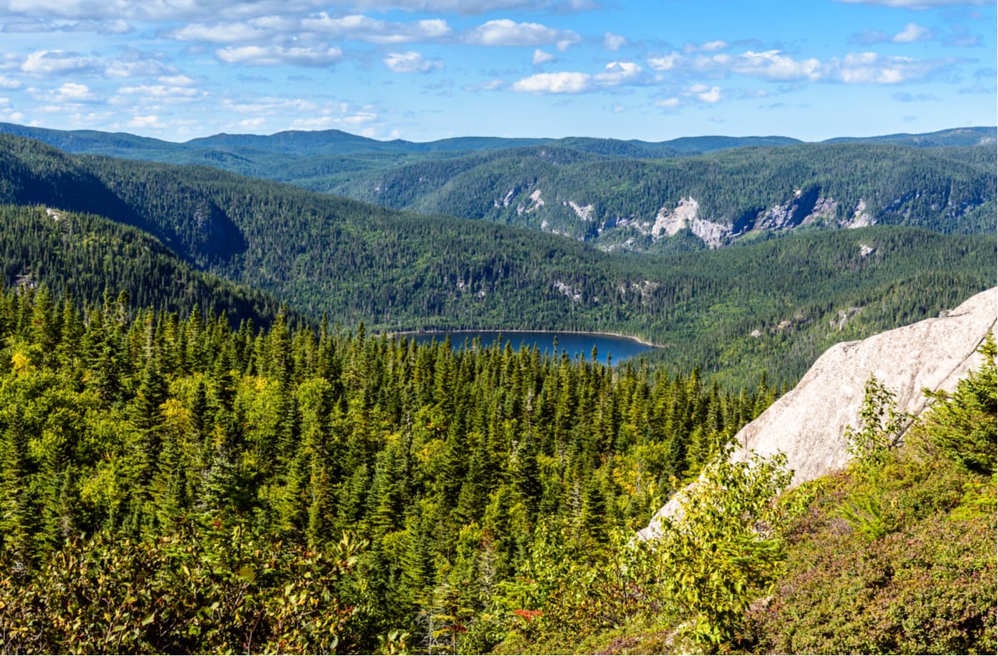
A subrange of the Appalachian Mountains, the Canadian Appalachians include nearly all of the peaks north of Canada’s border with the US within the Atlantic Provinces (excluding Labrador) and in the part of Québec to the east of the Saint Lawrence River, including Anticosti Island.
The range starts just to the north of Canada’s border with the US states of New York, Vermont, New Hampshire, and Maine and continues as far north as the northernmost tip of Newfoundland.
Moreover, the range is, by fun geographical twist, partially located in France. This is because it includes the peaks on the French Overseas Collectivity of Saint Pierre and Miquelon (French: Collectivité d’outre-mer de Saint-Pierre-et Miquelon), which is just south of the island of Newfoundland.
However, the range does not extend into the central and northern portions of Québec, which is covered by the Laurentian Mountains (French: Laurentides). Moreover, it does not include the continental region of Labrador.
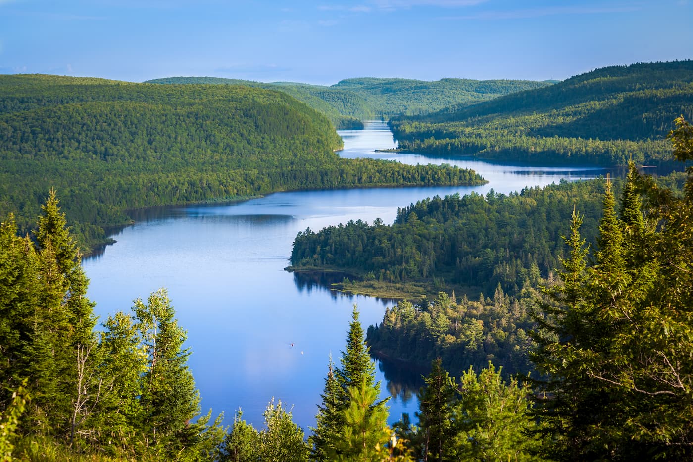
The Canadian Appalachians cover a vast swath of land with many national parks and protected areas, which can be broken down by province.
Québec is home to the westernmost extent of the Canadian Appalachians. However, the Canadian Appalachians are only found within the administrative regions of Bas-Saint-Laurent, Gaspésie-Îles-de-la-Madeleine (including the Communauté maritime des Îles-de-la-Madeleine), Chaudière-Appalaches, Centre-du-Québec, and Estrie, as well as Anticosti Island, which is technically part of Côte-Nord.
Within the province, the Canadian Appalachians include the subranges of the Notre Dame Mountains (French: Monts Notre-Dame), and their subrange of the Chic-Chocs (French: Monts Chic-Chocs), which are located on the Gaspésie.
The province contains many protected areas within the Canadian Appalachians, which include:
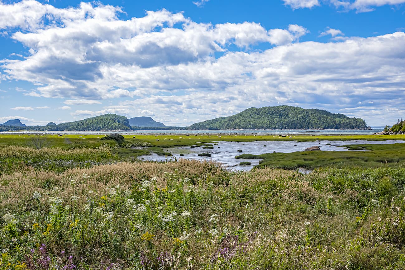
The province of New Brunswick is located to the east of Québec and to the northeast of Maine. Some 681 of the Canadian Appalachian Mountains are located within New Brunswick, including the province’s highest peak, Mount Carleton.
Within New Brunkswick, all of the mountains are part of the Canadian Appalachians. However, the central and east-central parts of the province are relatively flat compared to the surrounding regions. The province includes a number of protected areas, including:
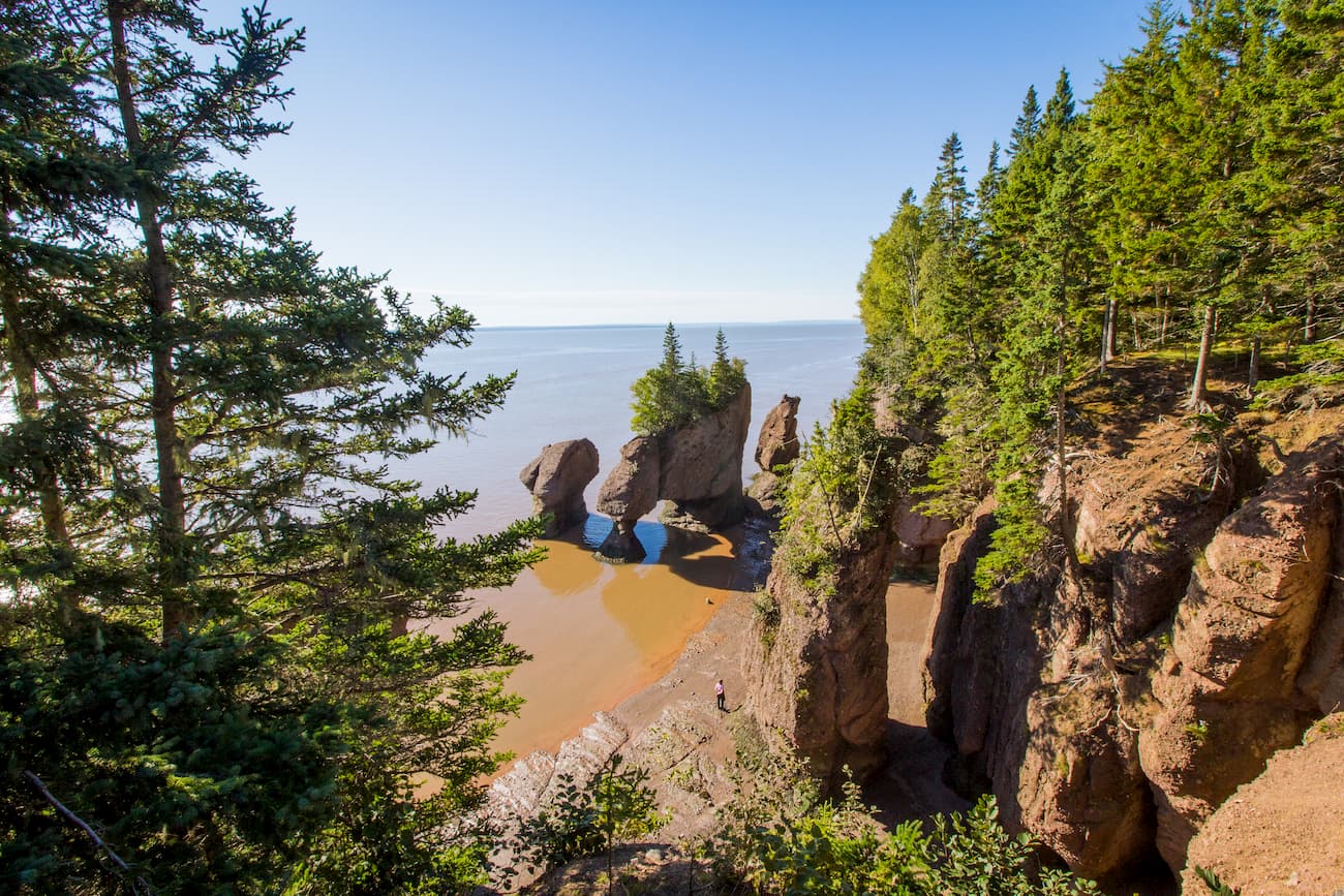
The island is fairly flat, though it contains 14 named hills that are part of the Canadian Appalachians, the highest of which is Jones Hill. There are also a sizable number of small protected areas on Prince Edward Island, including:
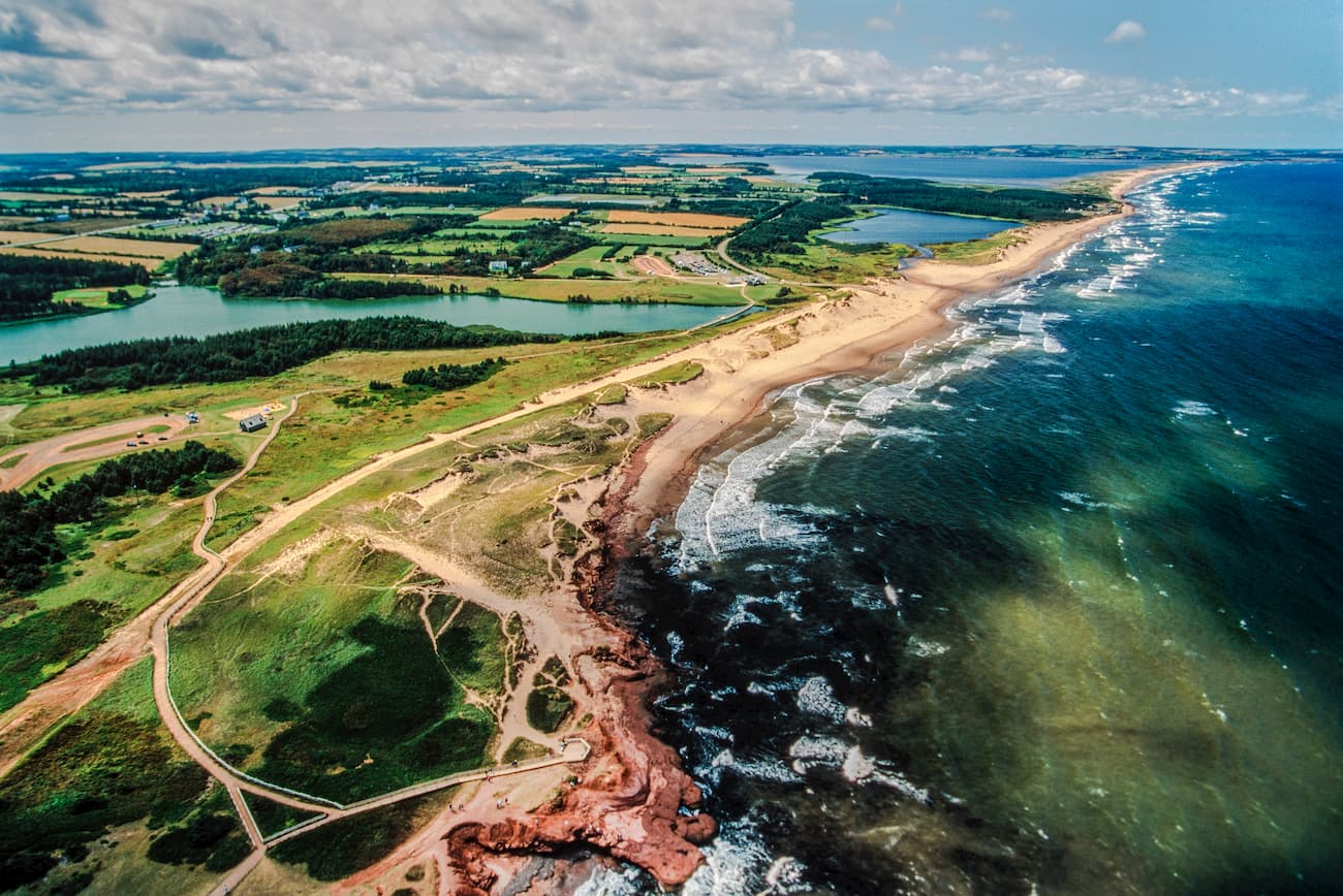
Situated to the southeast of New Brunswick and Prince Edward Island, Nova Scotia is a hilly province with thousands of lakes, rivers, and streams. The mountains within the province are part of the Canadian Appalachians, though many are relatively low-lying. Additionally, Nova Scotia is home to many protected areas, including:
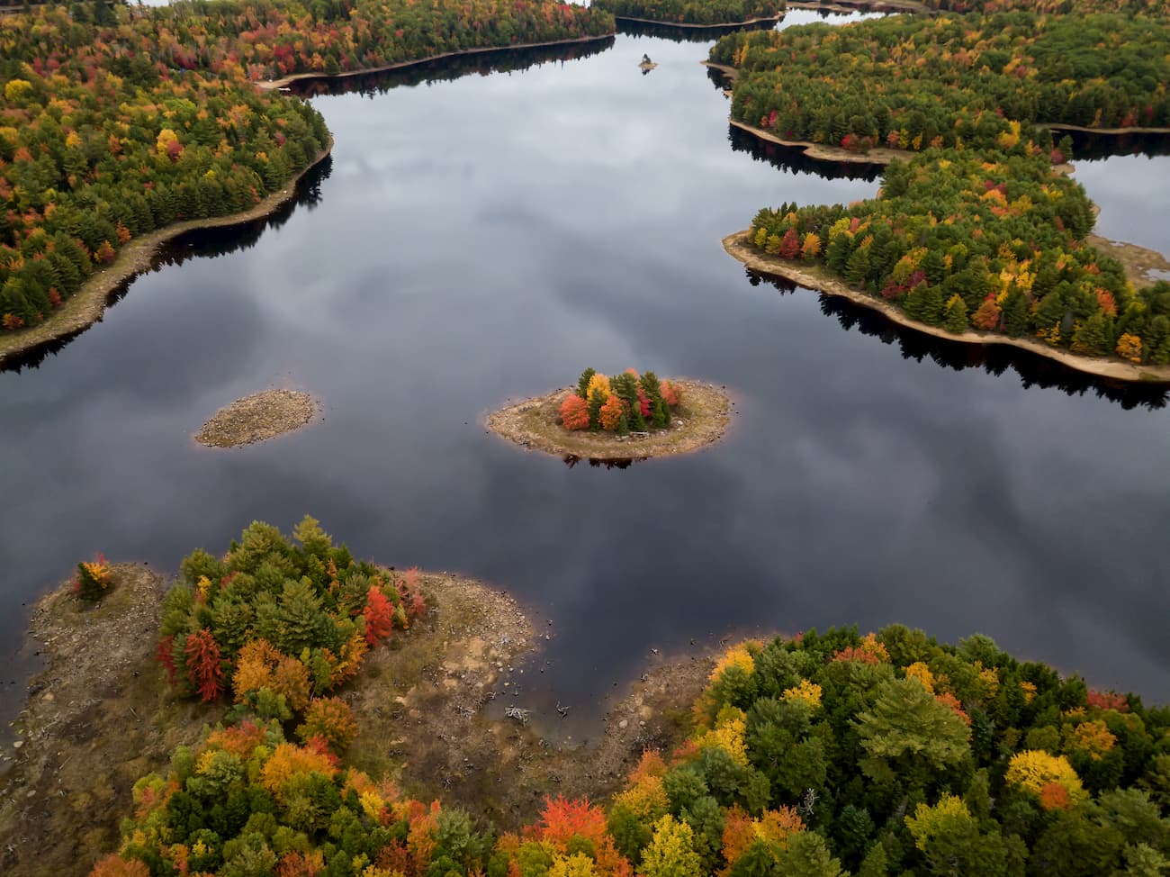
Home to the northernmost and easternmost extent of the Canadian Appalachians, the province of Newfoundland and Labrador is located to the northeast of Québec, Prince Edward Island, Nova Scotia, and New Brunswick.
Although none of the peaks in Labrador are part of the Canadian Appalachians, the island of Newfoundland is home to a substantial number of peaks, many of which are included in the Long Range Mountains subrange. Some of the many protected areas in the region include:
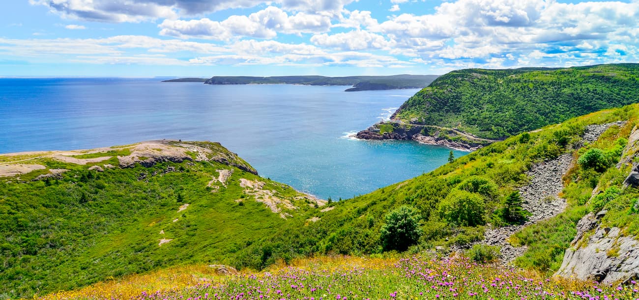
By a fun geographical oddity, the Canadian Appalachians are also found in France. Indeed, the Collectivité d’outre-mer de Saint-Pierre-et-Miquelon (Saint Pierre and Miquelon) is a small overseas territory of France located just to the south of Newfoundland.
Saint Pierre and Miquelon was the only portion of French Canada that wasn’t ceded by France during the Seven Years’ War under the Treaty of Paris. Although the islands are fairly geographically mellow, there are a few hills, including the high point of Morne de la Grande Montagne.
So, yes, you can visit France while adventuring in the Canadian Appalachians, but don’t forget your passport!
The Canadian Appalachians are a part of the greater Appalachian Mountains, which extend as far south as the US state of Alabama and as far north as Newfoundland. Although there are some unique geologic aspects of the Canadian portion of the mountain system, they share a geologic history.
Indeed, the range, particularly the Notre Dame Mountains, began to form during the Taconic orogeny, which also created the basic shape of the Green Mountains in Vermont.
Subsequently, the Acadian orogeny saw the collision of the microcontent of Avalonia with Laurentia and the rest of the Appalachians in Québec, as well as the formation of substantial igneous intrusions in the Gaspésie. However, the Alleghanian orogeny had little effect on the Canadian Appalachians, particularly within Québec.
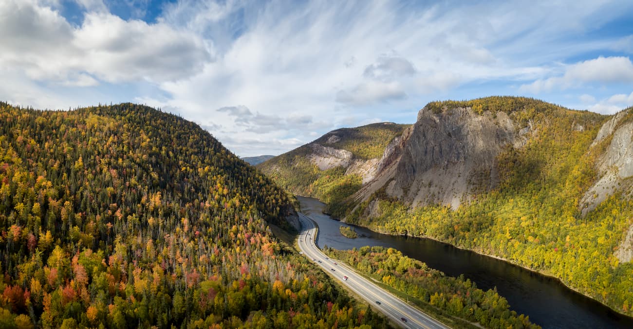
One geologic event that affected all of the Canadian Appalachians was extensive glaciation, particularly by the Laurentide Ice Sheet some 95,000 to 20,000 years ago. This extensive glaciation carved out many of the features we see in the region today, particularly around Newfoundland, where it was responsible for the formation of fjords in Gros Morne National Park.
Ecologically, the Canadian Appalachians are quite diverse. There are a number of ecoregions located within the range, each with their own unique flora and fauna.
In much of the range within Québec (excluding the Gaspésie), most of non-coastal New Brunswick, and Nova Scotia, the landscape is dominated by the New England/Acadian forests ecoregion. This ecoregion is mostly mixed forest and temperate broadleaf forests
The region is characterized by warm summers and snowy, cold winters. Although much of the original forest was cleared before the 19th century, these days, the region has a number of forest communities, including coniferous forests, wetlands, and northern hardwoods.
At higher elevations, there are some alpine communities, particularly in the Cape Breton Highlands in Nova Scotia and in the Gaspésie in Québec.
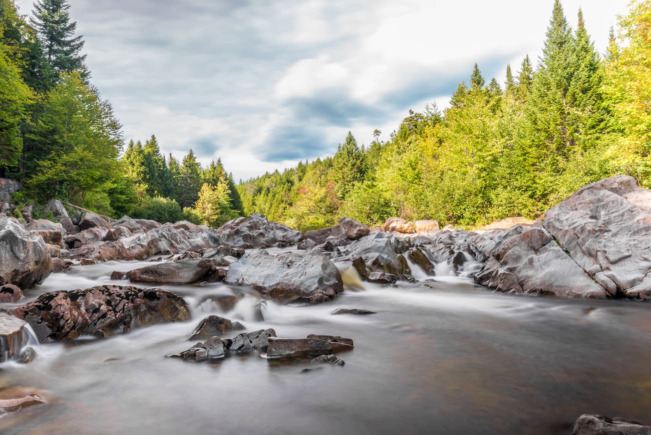
This ecoregion covers the Gulf of Saint Lawrence and its low lying regions, which comprise the largest estuary on Earth. Included within this ecoregion is most of coastal New Brunswick, Nova Scotia’s Annapolis Valley and Northumberland Strait coast, as well as all of Prince Edward Island, and Les Îles-de-la-Madeleine in Québec.
For the most part, this ecoregion experiences warm summers and mild winters with regular snowfall. The region has substantial stands of hardwoods as well as stands of eastern hemlock, black spruce, red spruce, and white spruce. However, most of the ecoregion has been cleared, logged, and developed, with a very small portion (less than 5%) of the original forests remaining.
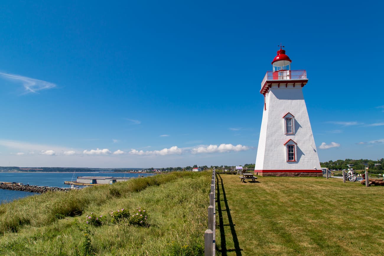
Found throughout the Gaspésie of Québec, the northernmost tip of Nova Scotia, and the majority of Newfoundland, as well as other parts of Québec and Labrador outside of our range, the East Canadian Forests are a cool and wet coastal ecoregion.
Most of the trees in these forests are black spruce, white spruce, balsam fir, aspen, and paper birch. Additionally, the coastal regions are particularly important breeding grounds for seabirds, including eider ducks. There are plenty of mammals in the region, including grey wolves, Canada lynx, moose, black bears, red fox, and snowshoe hares.
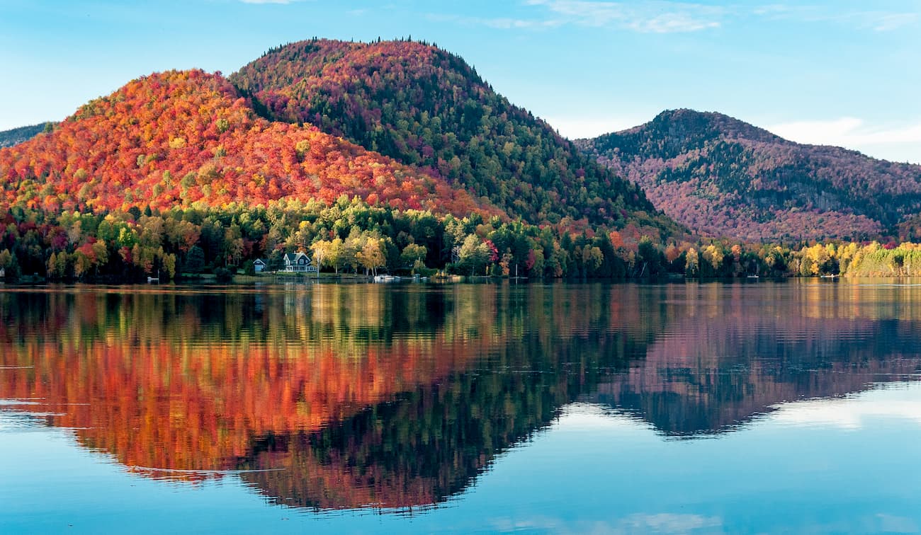
The Canadian Appalachians have been home to humans for countless generations. Over the millenia, countless groups have lived in the region, including the Wabanaki Confederacy, the Haudenosaunee, the Huron-Wendat Nation, the Mi’kmaq, and the Beothuk, among many others.
Interestingly, the Canadian Appalachians were also the site of what was perhaps the earliest European settlement within what is now Canada. Some 1,000 years ago, there was a Viking settlement at L'Anse aux Meadows on the northernmost tip of Newfoundland.
Some 500 years later, Jacques Cartier of Breton sailed to the Gaspésie and claimed the land for France, beginning the establishment of New France and precipitating the settlement of the region in the following decades.
Under the Treaty of Paris in 1762, France ceded all of French North America, with the exception of Saint Pierre and Miquelon, to the British. Over the subsequent centuries, Canada, and, especially the Maritime Provinces, became common destinations for people of the Scottish and Irish diaspora, many of whom were fleeing the Highland Clearances and the Irish Potato Famine, respectively.
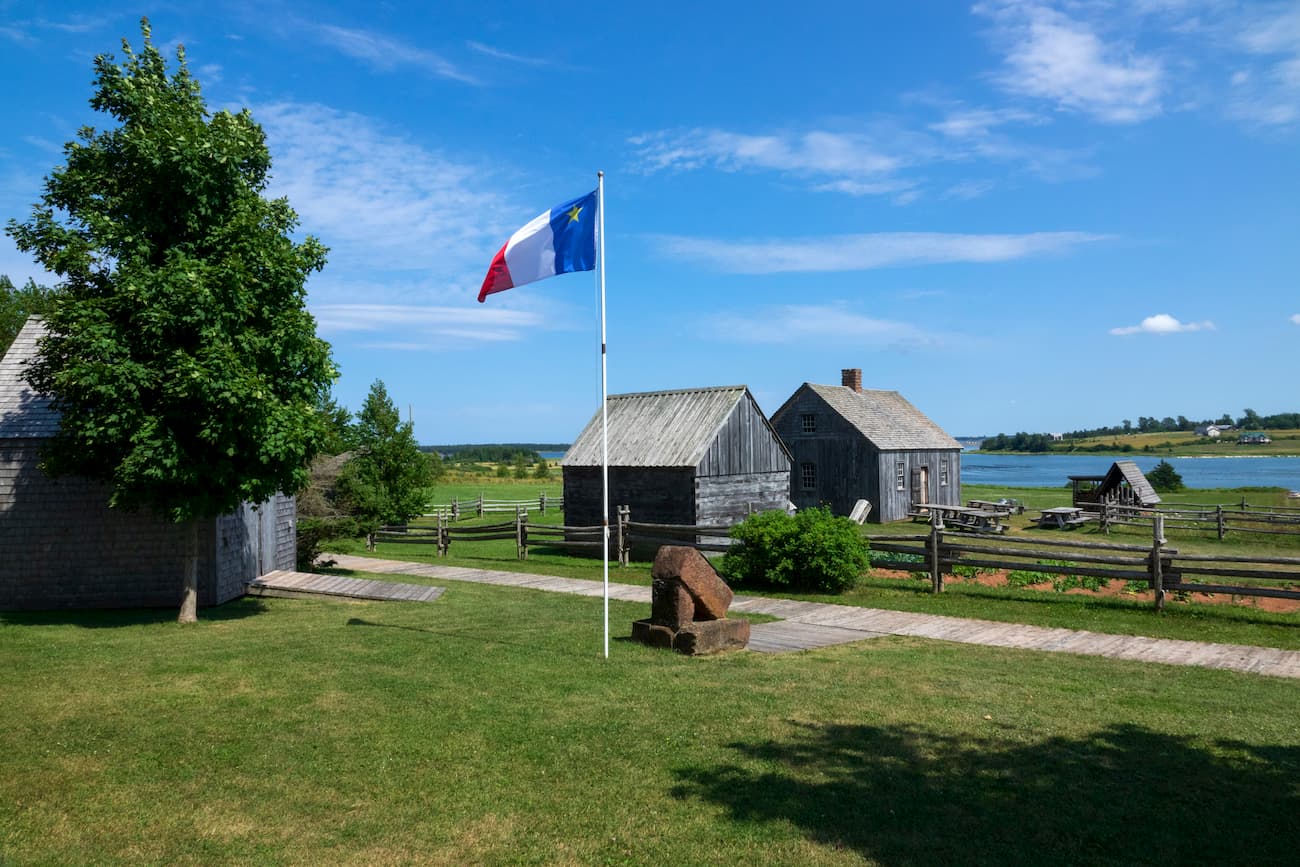
Although the Canadian Appalachians include Canada’s second most populous province of Québec and the most population dense province of Prince Edward Island, much of the region is highly mountainous or agricultural, particularly in the north.
The range is home to a number of popular outdoor recreation destinations, including some beloved national parks.
Within the Canadian Appalachians, there are dozens of great places to hike, camp, climb, and paddle. Here are some of the best locations to check out:
Gros Morne National Park is located on the western coast of northern Newfoundland. It is characterized by stunning fjords and impressive glacially-carved peaks, many of which are part of the Long Range Mountains subrange.
There are some excellent trails within the park, including the Gros Morne Mountain Trail, the Baker’s Brook Falls Trail, and the Western Brook Pond Fjord Trail.
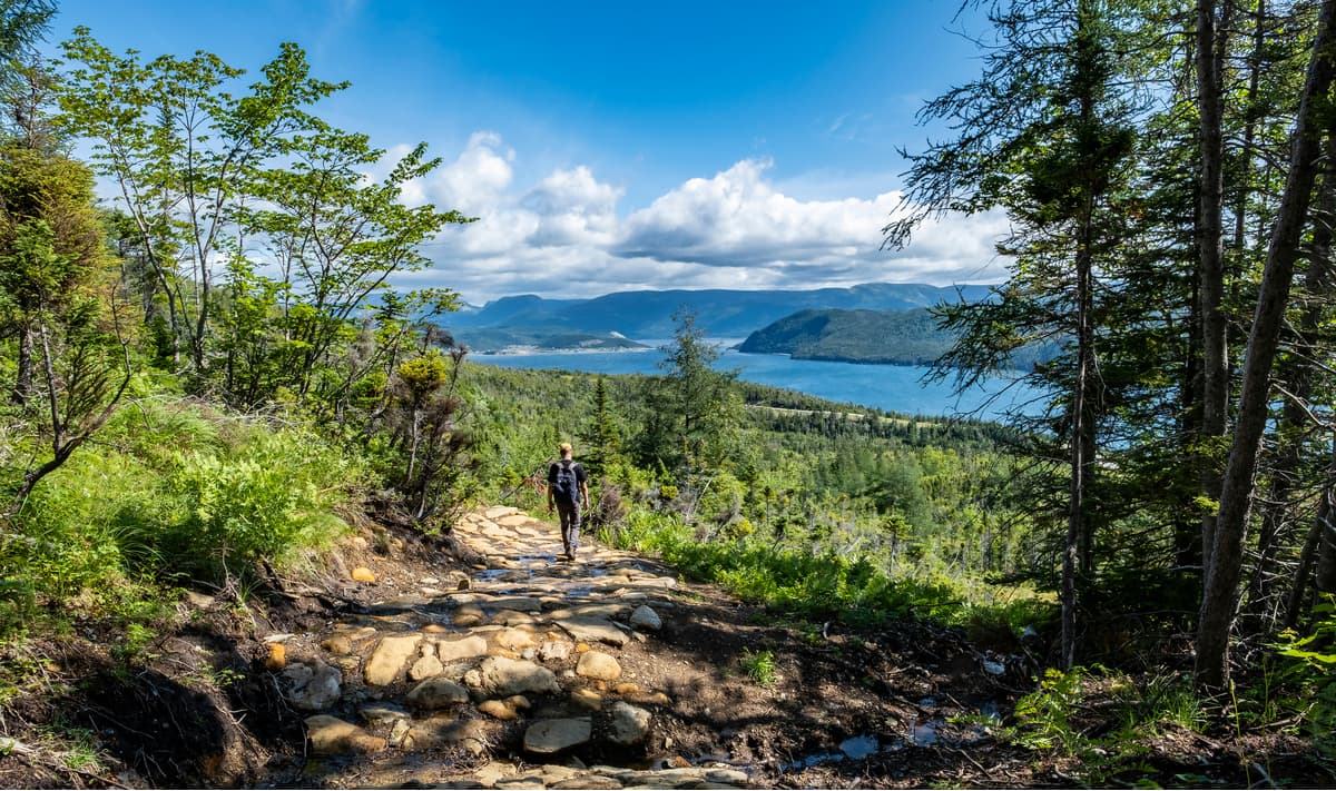
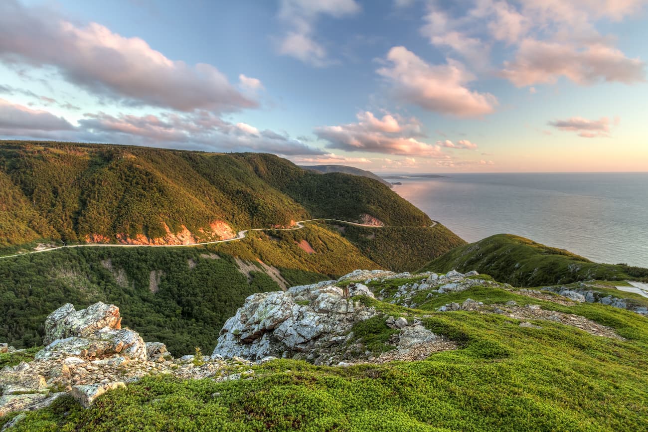
Situated in the northernmost section of Nova Scotia, Cape Breton Highlands National Park is a very popular outdoor recreation area. It contains 15 named mountains, the highest and most prominent of which is White Hill.
Within the park, there are excellent opportunities to view wildlife, particularly sea birds. Marine mammals, including humpback whales, minke whales, right whales, sei whales, and fin whales, as well as plenty of seals, are also found in the park’s coastal areas.
There are dozens of marked hiking trails, including some well-known options, like the Skyline Trail, within Cape Breton Highlands.
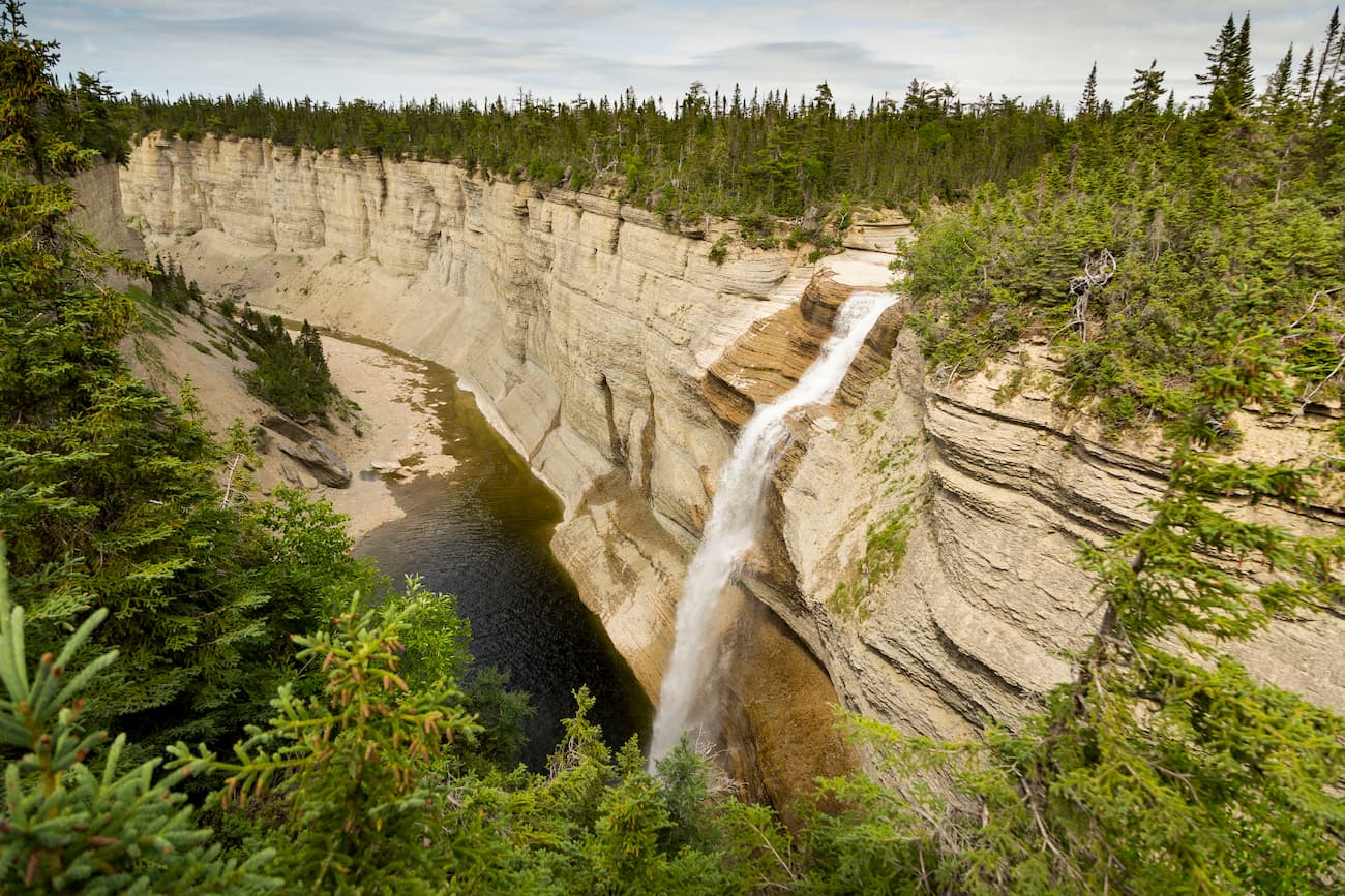
Parc National d’Anticosti is located on Anticosti Island in the mouth of the Saint Lawrence River. It is home to some of the largest caves in Québec as well as some great canyons and waterfalls that visitors can check out.
On the island, there are over 45km (28mi) of hiking trails for visitors to enjoy, as well as plenty of opportunities for sea kayaking and general outdoor recreation.
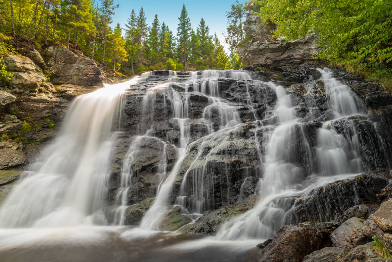
Located on the Gaspésie, Parc National de la Gaspésie is a popular hiking and outdoor recreation area in northeastern Québec. It is home to the highest peak in the Canadian Appalachians, Mont Jacques-Cartier.
Plus, the park contains the only caribou population found south of Canada’s Saint Lawrence River. Parc national de la Gaspésie also contains the Chic-Choc Mountains subrange, which is a popular backcountry ski destination in the winter months.
Although not particularly known for its mountains, Fundy National Park in New Brunswick is home to 6 named highpoints, the highest of which is Rossiter Hill. The park is known, however, for being home to the highest tidal difference in the world, which can be a change of up to around 16m (50ft) between high and low water.
There are plenty of great hiking trails in the park, including access to the coastal areas. Fundy National Park is also a popular winter destination for skiing, snowshoeing, and sledding.
Here are some of the best places to stay in the Canadian Appalachians:
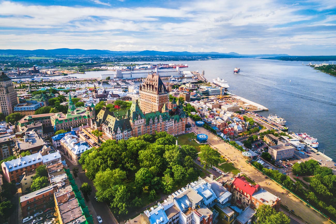
The capital and second largest city in the province of Québec, Québec City is home to over 530,000 people. It is located along the Saint Lawrence River near the easternmost extent of the Canadian Appalachians.
Québec City is an important transportation hub for the region, with great road connections to many of the province’s major highways. It is home to a major port as well as a major international airport, with service throughout Canada, the United States, Mexico, South America, and France.
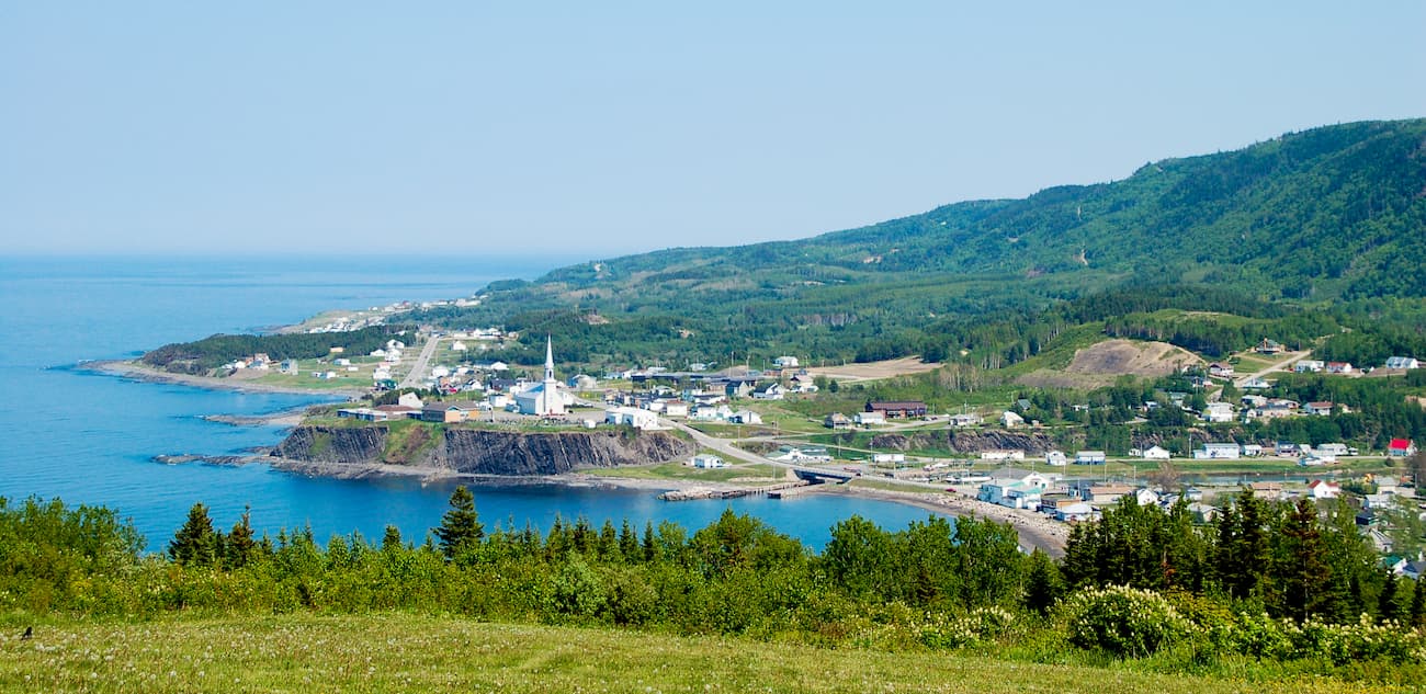
Gaspé is a city in the easternmost part of the Gaspé Peninsula in Québec. It is home to about 15,000 residents and is known as the site where Jacques Cartier claimed the region for France.
Tourism is an important part of Gaspé’s economy, as it offers good access to many of the region’s national parks, including Forillon National Park. It is accessible by road from Québec City.
Halifax is the capital and largest city of Nova Scotia with over 400,000 residents. It is located on the southern shore of the Province and offers great access to the region of the region. Halifax’s airport is one of the busiest in Canada, servicing flights throughout the country and abroad.
Moncton is the capital and largest city of New Brunswick with over 71,000 people. The city is located in eastern New Brunswick and offers great road access to both Nova Scotia and Prince Edward Island. Moreover, Moncton has an international airport, which mostly services flights throughout Canada but also offers seasonal connections to the United States, South America, and the Caribbean.

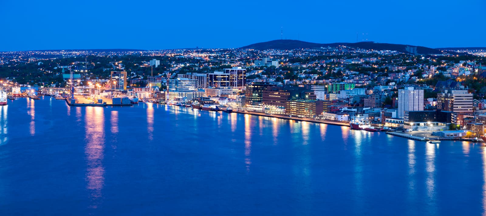
St. John’s is the capital and biggest city in Newfoundland and Labrador. It is situated in the eastern part of the island of Newfoundland, which also makes it the easternmost city in North America outside of Greenland.
The city is home to over 219,000 people and is a major population center for the province. It is home to the largest university in Atlantic Canada (Memorial University of Newfoundland) and has a major shipping harbor. Moreover, St. John’s has an international airport that offers flights throughout Canada, Mexico, the Caribbean, the US, and select destinations in Europe.
Explore Canadian Appalachians with the PeakVisor 3D Map and identify its summits.


