Get PeakVisor App
Sign In
Search by GPS coordinates
- Latitude
- ° ' ''
- Longitude
- ° ' ''
- Units of Length

Yes
Cancel
❤ Wishlist ×
Choose
Delete
Offering a mix of stunning views and a rich cultural landscape, Kejimkujik National Park and National Historic Site of Canada is one of Nova Scotia’s premier protected areas. The park contains 8 named high points, the highest of which is Mount Tom (123m/404ft), and the most prominent of which is Clary Point (120m/394ft).
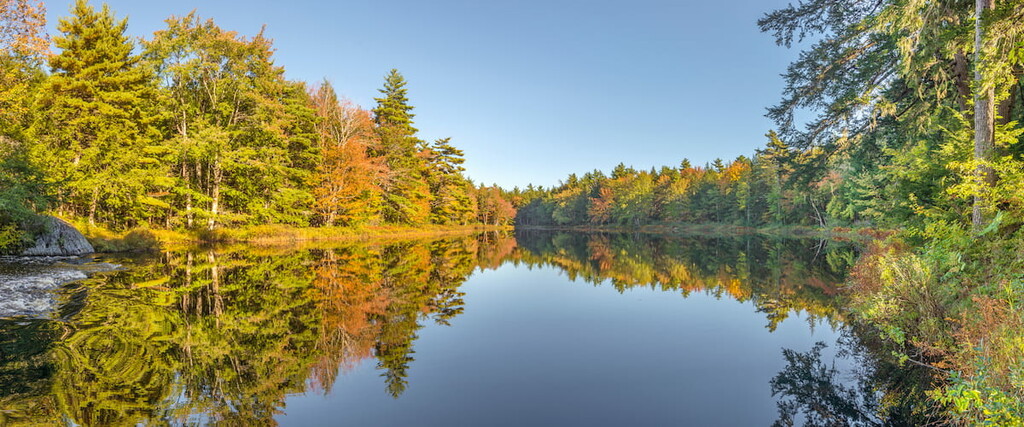
Kejimkujik National Park and National Historic Site of Canada (usually called Kejimkujik National Park) is a small federally protected area located in the southwestern region of the Canadian province of Nova Scotia. The park is situated within both the Region of Queens Municipality and the Municipality of the County of Annapolis, about 2 hours by road from Halifax.
Interestingly, the main core of the park is actually located within a larger complex of protected land. Indeed, it is contiguous with the Tobeatic Wilderness Area, which surrounds the park to the north and west.
However, unlike in Kejimkujik, the Tobeatic Wilderness Area allows for some hunting and some private land use. Nevertheless, both the national park and the wilderness are included in the massive Southwest Nova Biosphere Reserve, which was officially designated by UNESCO in 2001.
Furthermore, Kejimkujik National Park is within driving distance of a number of other popular recreation areas.
In particular, the park is located to the west of the Lake Rossignol Wilderness Area and the Shelburne River Wilderness Area, as well as to the southwest of Smith Lake Nature Reserve, Scrag Lake Wilderness Area, McGill Wilderness Area, and the Cloud Lake Wilderness Area. Furthermore, Kejimkujik National Park is located to the northeast of the Porcupine Lake Wilderness Area.
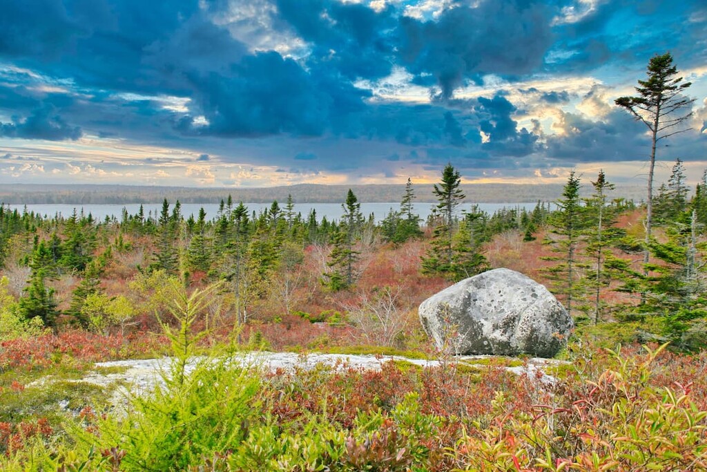
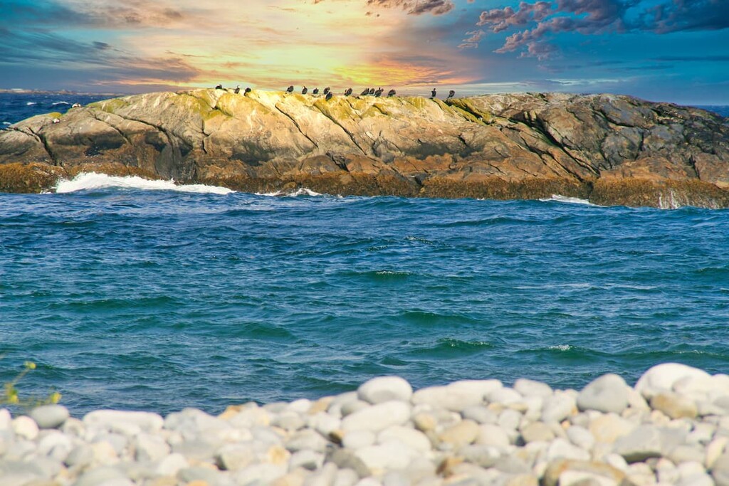
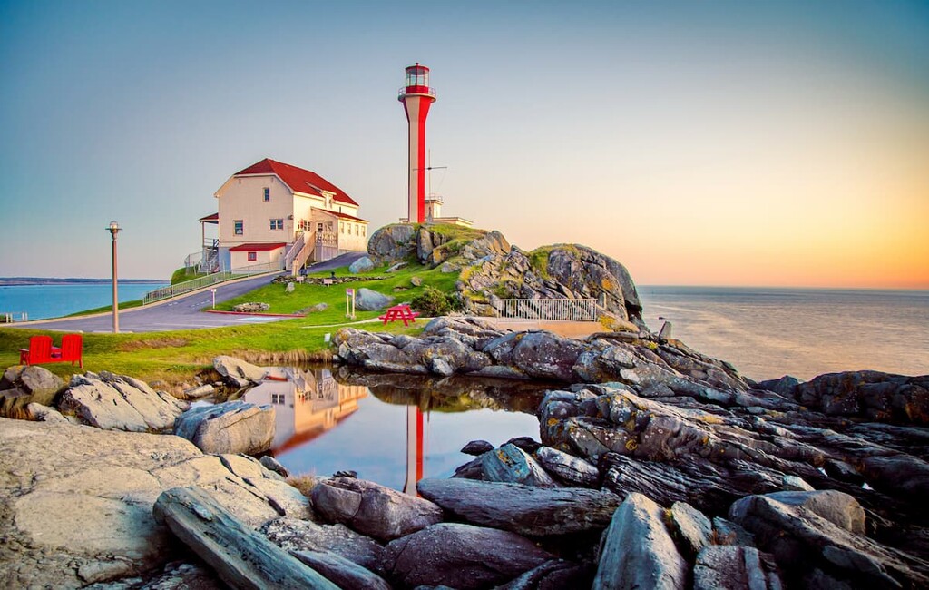
Finally, it’s worth mentioning that Kejimkujik National Park and National Historic Site of Canada is split up into two sections. While the main core of the park is located in inland Nova Scotia, the seaside adjunct of the park is situated along the southeastern coast of the province just to the south of the Tidney River Wilderness Area between Liverpool and Shelburne. This seaside area protects some of the most stunning Atlantic coastline in all of Nova Scotia.
For the most part, Kejimkujik National Park is a flat plain without major mountains or peaks. That being said, it is located within the Canadian Appalachians range, which is a section of the greater Appalachian Mountains that stretches from Quebec’s border with the US state of Vermont to the south all the way to Newfoundland and Labrador to the north.
The park can also be said to be part of Nova Scotia’s Southern Upland Region, which shows substantial evidence of the area’s glacial past. Within the park, the bedrock is mostly Precambrian to Ordovician slates and quartzites, though there are also outcroppings of Devonian granite.
However, the park’s geologic history is dominated by the events of the last major glaciation, which carved out lakes and left behind winding eskers, drumlin hills, giant boulders, and outwash plains. In particular, the fact that the glaciers left behind so many shallow lakes makes the park (and the surrounding region) one of the best canoeing regions in the province.
Major high points in the park include Mount Tom, Clary Point, Jim Charles Point, and Peter Point.
Despite its relatively small size, Kejimkujik National Park is home to an exceptional array of flora and fauna. In fact, the park contains a number of different plant communities. Here are some of the many species and communities you might encounter during your visit:
The forests within Kejimkujik National Park are located within the Acadian Forest zone. This forest zone is considered to be a transition area between deciduous trees to the north and coniferous trees to the south.
However, nearly two centuries of logging and human development has changed the forest landscape in and around the park. Indeed, over the years, humans have cleared away the region’s many hardwoods for lumber and they have harvested white pine and red spruce for pulp.
That being said, the park is home to a small stand of old-growth eastern hemlocks,some of which date back over 350 years. These old-growth forests have a layered canopy, which has allowed mosses and liverworts to grow in the woodlands shaded understory.
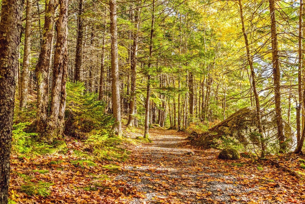
Furthermore, there are some old-growth hardwood forests that still remain in the park, particularly on the top of the region’s small hills. Some of these forests date back hundreds of years, though they cover less than one percent of the park’s land area.
Some of the many trees you can find in these old-growth hardwood forests include beech, sugar maples, and yellow birches. These forests also have rich understories of lichens, mosses, and the like, which provide important habitat for local wildlife.
A substantial portion of Kejimkujik National Park and National Historic site is actually wetlands. Much of the park’s wetlands are bogs, which are commonly found in areas with poor soil drainages.
These bogs are surprisingly biodiverse as they take hundreds of years to develop. Most of these bogs are home to very thick layers of spongy sphagnum moss, which can then rot and form layers of dead moss that’s known as peat. This peat can eventually become many meters deep.
In parts of the Kejimkujik National Park where the bogs are a bit drier, one can often find shrubbery like sheep laurel, rhodora, and leather-leaf.
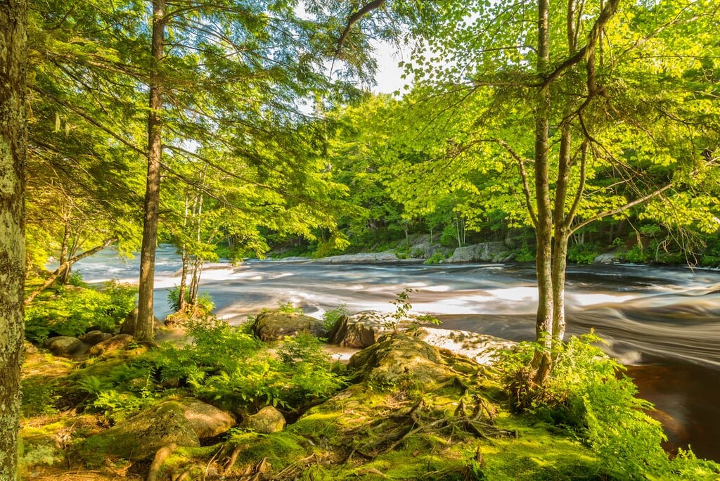
Meanwhile, in the areas near rivers and other bodies of water, the park is home to sprawling floodplains. These floodplain ecosystems are dynamic places as they are affected by the seasonal flooding of the region’s rivers.
Floodplains can be very biodiverse places, with plants such as meadowsweet and blue flag iris calling them home. Additionally, a whole host of animals live in the park’s floodplains, such as salamanders, beavers, white-tailed deer, and owls.
The park is home to dozens of lakes, ponds, streams, and rivers, all of which support freshwater ecosystems. For the most part, these communities are home to warm-water fish species, such as brown bullhead, white perch, and yellow perch, though you can find brook trout in deeper lakes where the water is colder.
Other flora and fauna you might find in these freshwater communities include loons, which like to nest on the shorelines of lakes, the endangered Blanding’s turtle, and the threatened northern ribbonsnake.
Found only at Kejimkujik Seaside, coastal plant communities provide a haven for hearty wildlife. Here, the landscape is a mix of bogs and coastal barrens.
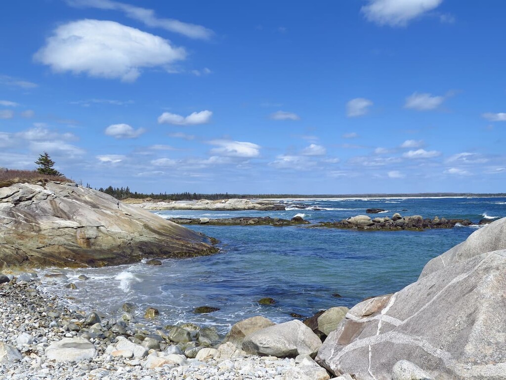
Coastal barrens, in particular, form in areas of poor soil that was left behind at the end of the last major glaciation. However, despite their name, these regions can be quite biodiverse.
Indeed, many of the coastal barrens in the park are home to stunted trees, such as white pine, red maple, black spruce, wire birch, and balsam fir. These barrens also tend to be ripe with berries during the summer season.
The closer you get to the coastline, however, the more stunted the trees in the barrens become, eventually tapering off and giving way to shrubs, lichens, and mosses, such as reindeer moss, toward the coastline.
The land that is now part of Kejimkujik National Park and National Historic Site of Canada has a long and storied history of human inhabitation. Indeed, the region has been home to humans for at least 3,000 to 4,000 years.
What is now Kejimkujik National Park is part of the ancestral homelands and traditional territory of the Mi’kmaq First Nations and there are extensive cultural remains found throughout the boundaries of the park. In particular, there are a number of petroglyph sites in the park, though a guided tour is required for visitors to the sites.
Perhaps the earliest people of European descent to visit the region were Samuel de Champlain and Pierre Dugua, sieur de Mons, who camped near Port Mouton in 1604. They then spent the next few months traveling along Nova Scotia’s coastline and the French later established settlements around the Liverpool area.
Diseases introduced around this time by the Europeans led to a steep decline in First Nations populations in the region. However, the earliest European permanent settlements in the region started around the eighteenth century when some settlers established farms around the seaside.
By the nineteenth century, the region had become a source of interest for loggers and miners who hoped to make it rich off the area’s rich natural resources. Over the years, the majority of the land has been logged in the park and prospectors established a number of small mines which failed to produce large yields.
Eventually, the region became a popular destination for sport anglers and hunters, who were drawn to the relatively undeveloped landscape. This led to the establishment of a number of tourist lodges in and around the modern-day boundaries of the park, and the start of a guiding industry to help tourists enjoy the beauty of the region.
By the middle of the twentieth century, there was a movement in the region to create a national park at Kejimkujik. The park was officially designated in the 1960s, however, the historic site wasn’t designated until the end of the 1990s.
In fact, in 1994, both the Mi’kmaq First Nation and Parks Canada made a recommendation to the Historic Sites and Monuments Board of Canada that Kejimkujik National Park be co-designated as a national historic site.
The park was designated a National Historic Site in 1995, which, interestingly enough, made it the first park in the country to hold this dual status. Do note, however, that the national historic site designation only refers to the core inland area of the park, and not Kejimkujik Seaside.
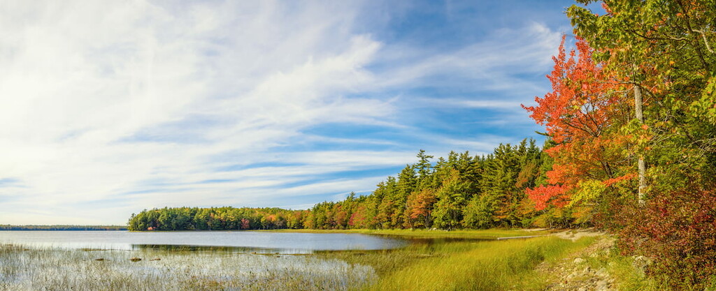
These days, the park is a popular outdoor and tourist destination for visitors all across Atlantic Canada and the country at large. It offers a great collection of hiking, canoeing, and camping opportunities, as well as a chance to learn more about the rich cultural heritage of the Mi’kmaq First Nations.
Kejimkujik National Park and National Historic Site is a true hiker’s paradise in southern Nova Scotia. Here are some of the best hikes to check out during your visit:
One of the longer hikes in the park, Ukme’k Trail is 6.3km (3.9 mi) long each way. The trail winds its way along the banks of the Mersey River, allowing you to see much of the park’s landscape.
Ukme’k is open to hikers and bikers and there are many access points along the trail. However, in the winter, the Mersey River Trail is the best access point to the trail due to the many seasonal road closures in the region.
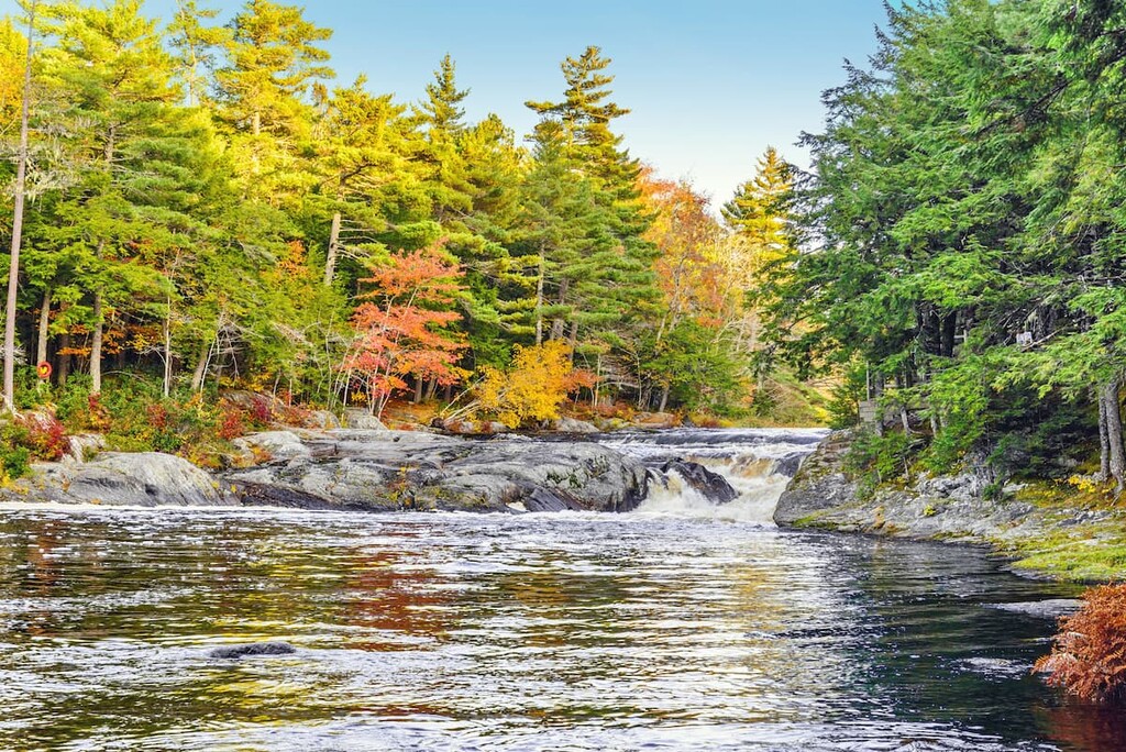
A highly popular option for nature-lovers everywhere, the Hemlocks and Hardwoods Trail is a 5km (3.1 mi) loop through some of the province’s oldest forests. Along this hike, you can see stands of 300 year old hemlocks and walk over a fun boardwalk through the dense woodlands.
For a short little adventure, the Mills Fall Trail is a sure bet. This hike starts near the Visitor Centre and heads down the banks of the Mersey River. Along the trail’s 2km (1.3 mi) path, you can enjoy the babbling brook or stop for a bite to eat at one of the many picnic tables along the way.
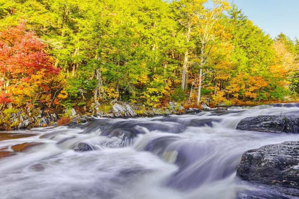
This 3.5km (2.2 mi) long out-and-back hike is a fun outing on a free morning. The Mersey River trail is open to both hikers and bikers, allowing for great access to the edge of the Mersey river and its many woodlands.
Looking for a place to stay during your visit to Kejimkujik National Park and National Historic Site of Canada? Here are some of the best places to check out:
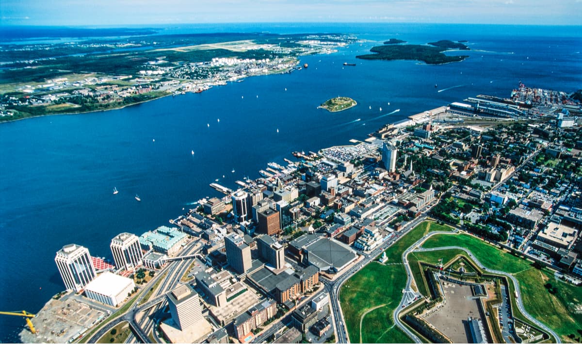
Halifax is the capital and largest city of Nova Scotia with a population of about 440,000 people. The city is located on Halifax Harbour, about 2 hours by road to the northeast of the park.
These days, Halifax is a major commercial and cultural hub for Atlantic Canada. It has a busy commercial port, a booming private sector, and a growing tourism industry. Plus, Halifax has one of the largest airports in all of Atlantic Canada, so it’s a good place to fly into if you’re coming from further afield.
Located along Nova Scotia’s South Shore, Liverpool is a community of some 2,600 people at the mouth of the Mersey River. The community has long had a large fishing industry, though its economy is now fairly diversified as tourism has brought more visitors to the region.
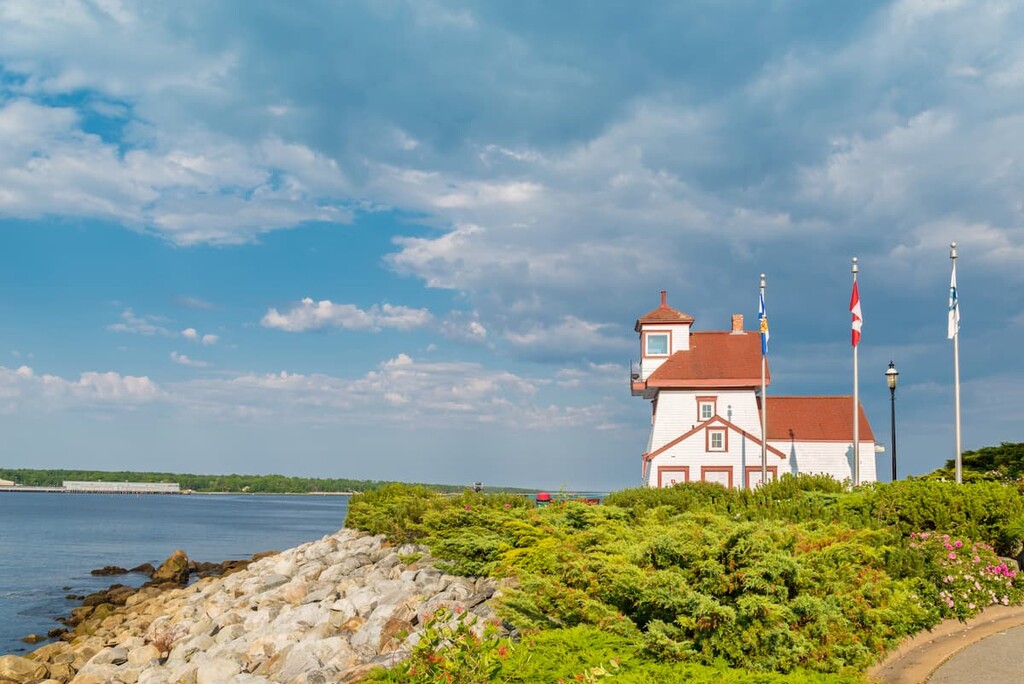
There is also a nice museum in the town that’s well worth a visit, as is the Fort Point Lighthouse, which is among the oldest in the province.
Situated on the shores of the Bay of Fundy, the town of Digby is located to the north of Kejimkujik National Park. It is home to about 2,000 residents and it has a bustling tourism industry. The town has an annual scallop festival and it hosts the largest annual motorcycle rally in all of Atlantic Canada. Plus, the town has regular ferry service to Saint John in New Brunswick.
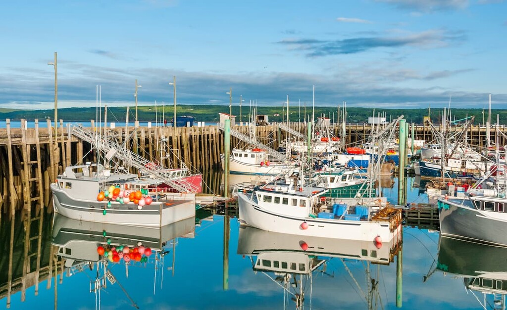
Home to some 6,000 people, Yarmouth is a major port town located on the southern part of the Bay of Fundy. It is one of the country’s largest lobster fishing ports and it is the biggest population center in the region. Yarmouth has a bustling tourism industry as well as a whole host of museums and arts exhibits to check out.
Explore Kejimkujik National Park and National Historic Site of Canada with the PeakVisor 3D Map and identify its summits.


