
Scan the QR code and open PeakVisor on your phone
There are 73,301 named mountains in USA. The highest and the most prominent mountain is Denali.
At 3.8 million square miles, the United States is the third largest country in the world by area.
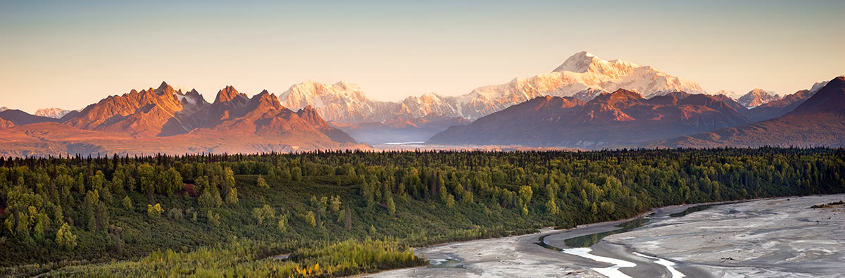
Like Canada, the United State borders three oceans, the Atlantic, Pacific, and Arctic. The state of Alaska is considered the country’s most northern, western, and eastern state. Although Alaska houses what is considered to be the country’s tallest mountain, if measuring a mountain from sea floor, hawaii’s Mauna Kea stands at over 32,000 feet in elevation, making it the tallest not only in America, but in the world.
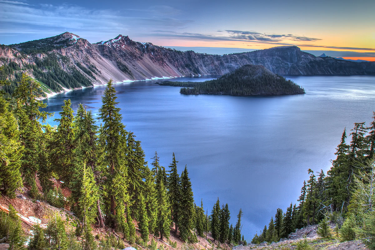
The deepest lake in the states, Crater Lake, is also the seventh deepest in the world and was formed by an enormous volcanic eruption. The huge crater slowly filled with snow and rain water to create the lake. However, the states are also home to the largest freshwater lake in the world - Lake Superior.
The topography and geography of the states varies dramatically throughout the country. The eastern regions generally consist of rolling hills and low-altitude mountains, while the central interior of the country is covered in the Great Plains, or vast plain. The western states, however, are generally characterized by rugged, high-altitude mountain ranges and summits, some of which are active volcanoes. Interestingly, in the western part of the country, the lowest point in the U.S., Badwater Basin is just 84 miles from the highest point in the states, Mount Whitney.
Generally, the United States can be divided into four major regions:
Characterized by broad valleys, rolling hills, and low mountains. This region includes the larger Appalachian Mountain range, including the Catskills and Adirondacks. The five tallest peaks in this region are found within the Presidential range and include Mount Washington, Mount Adams, Mount Jefferson, Mount Monroe, and Mount Madison.
This region is relatively flat in comparison to other parts of the United States. Generally speaking, this region consists of mostly plains, plateaus, and large lakes. The Ozark Mountains and the Black Hills are the most popular mountains in the midwest portions of the country. Although not significantly high in elevation, these areas offer ample outdoor recreation opportunities and include reputable peaks like Taum Sauk Mountain, Black Elk Peak, and Terry Peak.
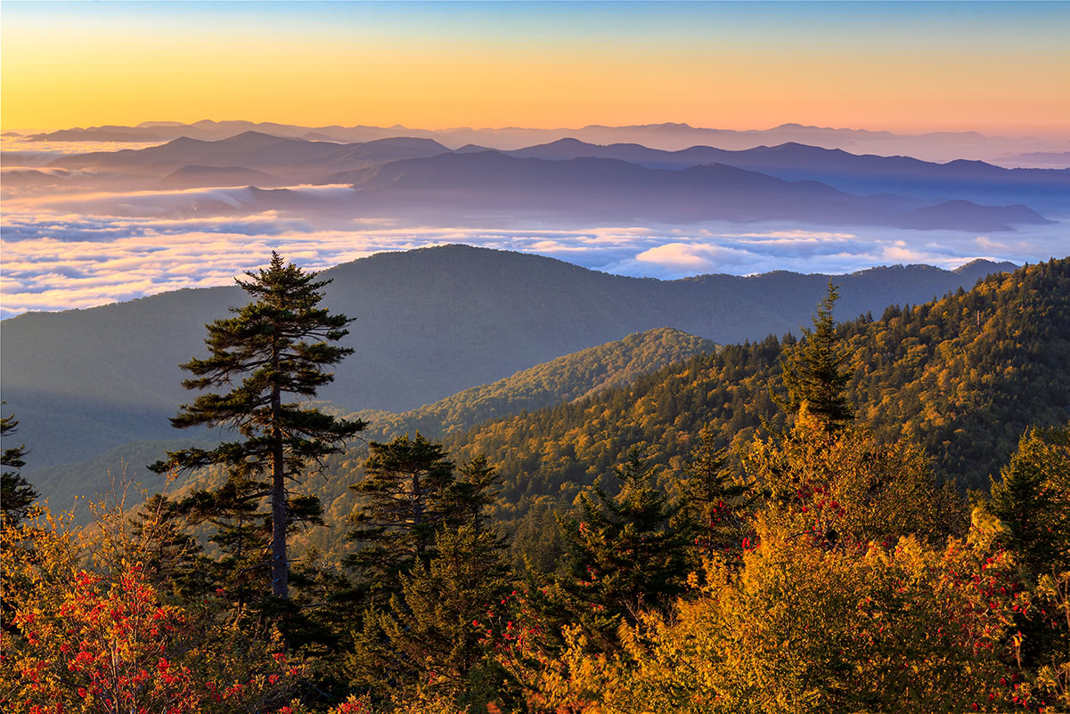
The most prominent geographical features of the southern region is the Appalachian Mountains. The Mississippi River, one of the longest rivers in North America, also travels through the southern part of the states. The south is incredibly diverse and offers several different climatic zones including temperate, subtropical, and arid zones. Some of the tallest peaks in this region include Guadalupe Peak, Clingmans Dome, Mount Mitchell, and Mount Rogers.
The Western United States contains most of the significant mountain ranges in the country including the Coast Ranges, Rocky Mountains, Sierra Nevada, and Cascades. The climate is described as semi-arid, but in most mountainous areas the weather is relatively unpredictable and can be hostile. The most prominent and recognizable peaks in the western region include Denali, Mount Foraker, Mount Bona, and Mount Blackburn.
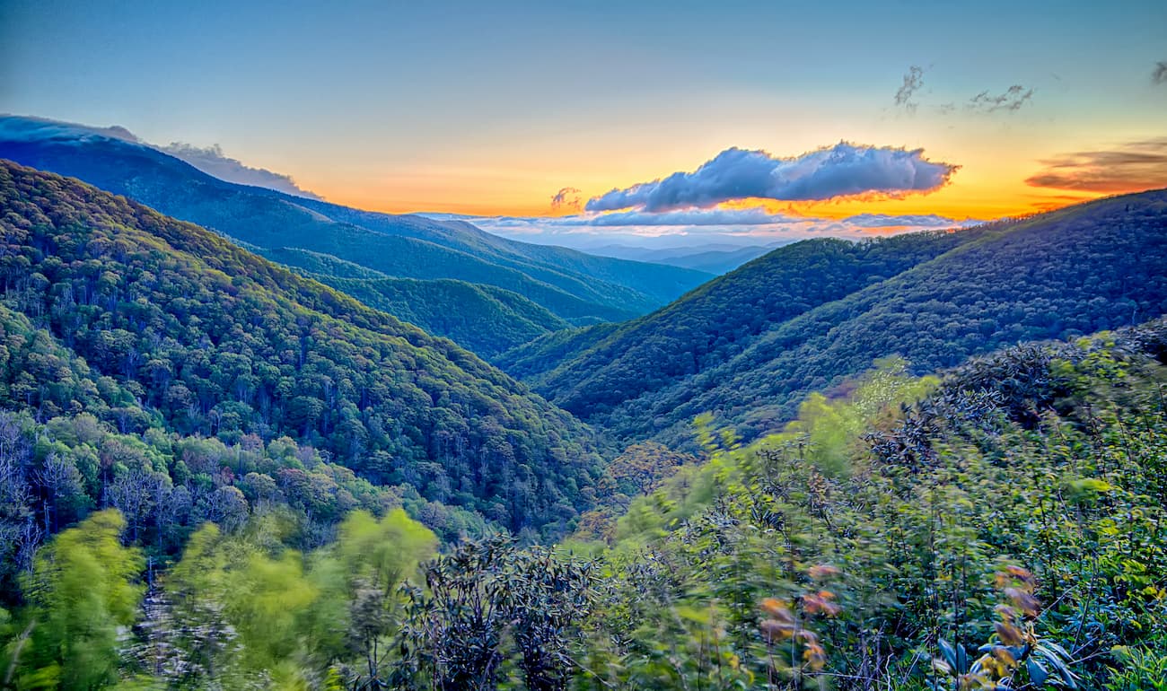
The Appalachian Mountains run for approximately 1,500 miles along the east coast of the United States. Spanning from Alabama to Maine, the highest point of the Appalachians is Mount Mitchell in North Carolina. The Appalachians once served as a barrier to expansion, and have played an important role in the early history of the United States.
Notable subranges within the Appalachians include:
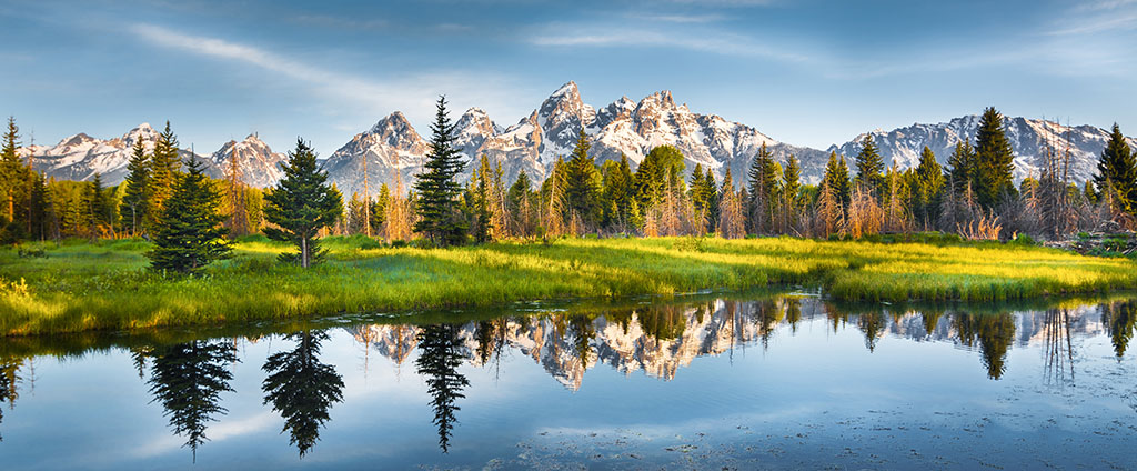
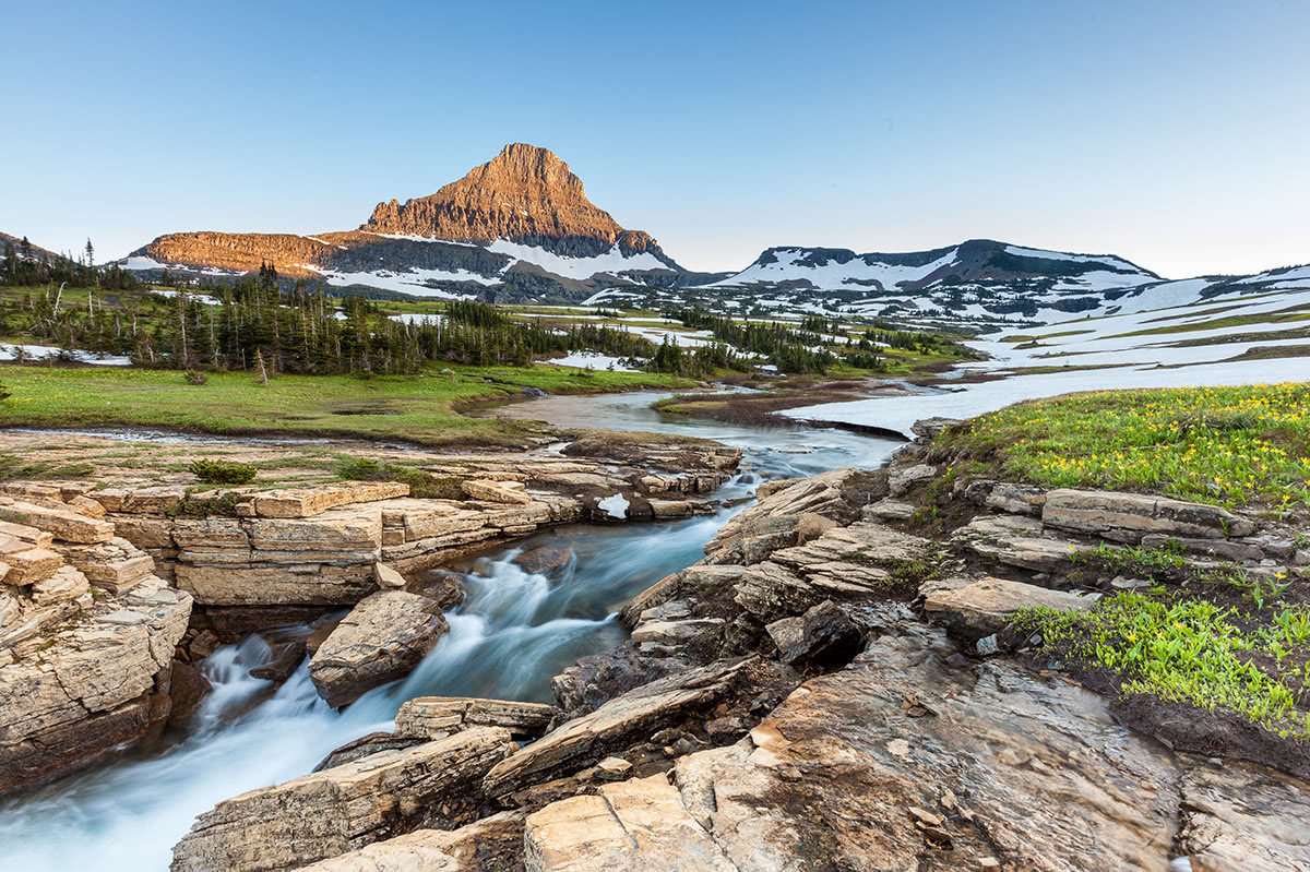
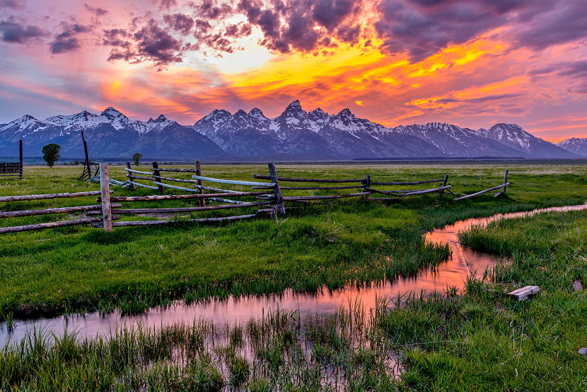
Home to to the Continental Divide, the Rocky mountains are one of the most popular mountain ranges for outdoor recreation. In fact, the Rockies are known for their warm, rainy summer and cool, snowy winters. The Rocky mountains form the longest mountain range in North America and are the second longest range in the world. The Rockies span for 3,000 miles north-to-south from New Mexico to Montana, and into Canada. Mount Elbert is the highest point in the Rockies, but the entire range is covered in large expanses of spruce trees and pine, oak, fir, and junip forest. The Rockies are also home to some of the most popular national parks in states including Grand Teton National Park, Glacier National Park, Rocky Mountain National Park, and Yellowstone National Park.
Notable subranges within the Rocky Mountains:
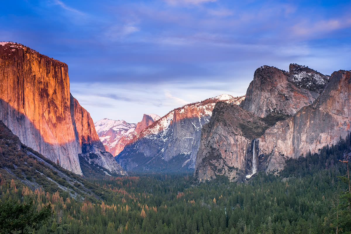
The Sierra Nevada Mountains run north-to-south along the west coast of the united states. Arguably the most popular mountain range for outdoor recreation in California and Nevada, the Sierra Nevada houses iconic recreation areas like Yosemite National Park, Sequoia and Kings Canyon, and Lake Tahoe, as well as the tallest trees in the world, sequoias. The Sierra Nevada’s highest point is Mount Whitney, which also happens to be the tallest peak in the contiguous United States. At 400 miles long and 70 miles wide, this fault-block mountain range is an absolute icon of the western United States.
Notable subranges within the Sierra Nevada:
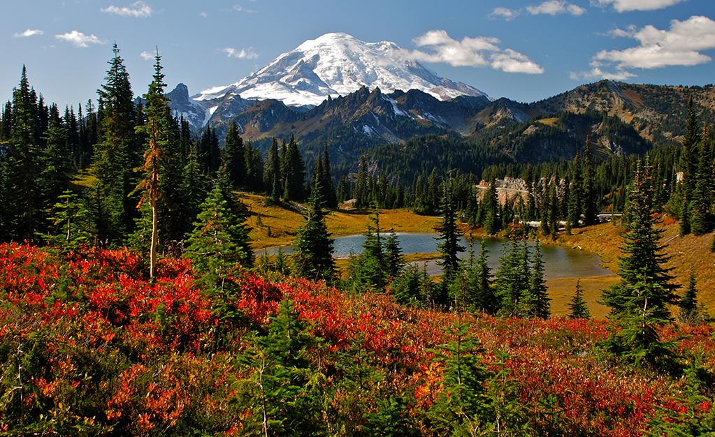
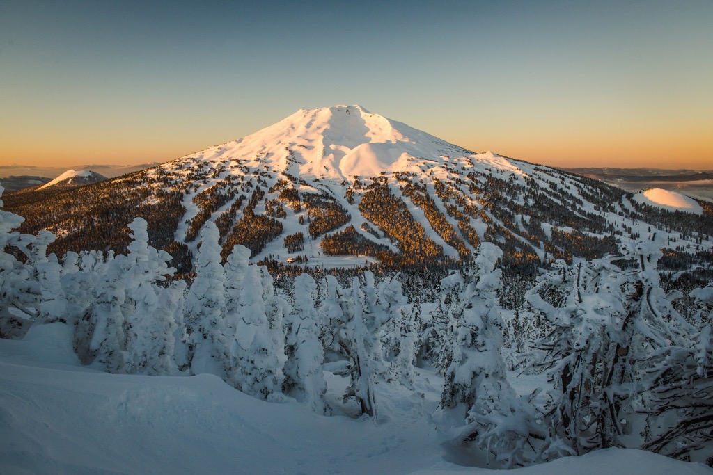
Stretching clear from the U.S. to Canada, the Cascades run for 700 miles along the northwest coast of the United States. The highest point in the Cascade Range is a stratovolcano in the Ring of Fire, Mount Rainier. Several peaks in the Cascades reach above 10,000 feet in elevation, and are referred to as the High Cascades. This is a popular destination for mountaineering, climbing, hiking, and other outdoor activities.
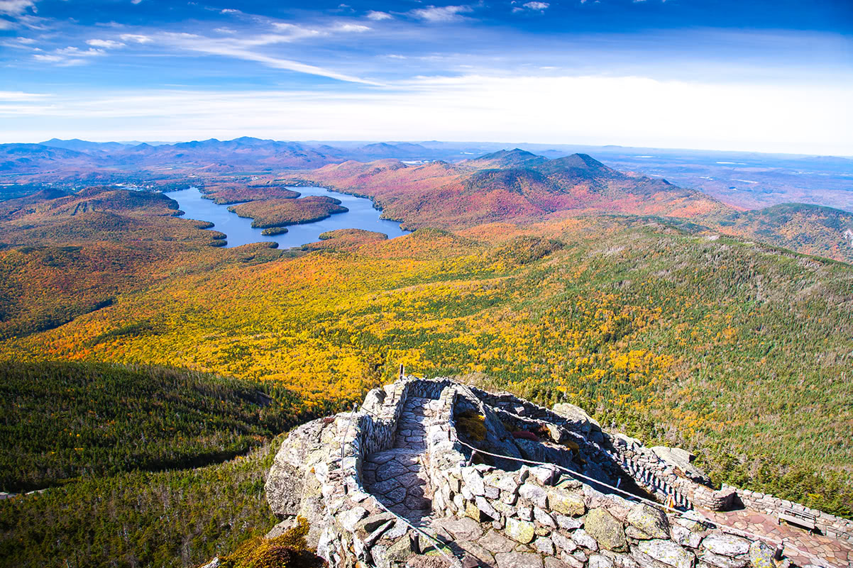
Adirondacks: Located in northeast New York, the Adirondacks range from 1,200 feet to over 5,000 feet tall. The tallest peaks, which exceed 4,000 feet, are referred to as the High Peaks. The tallest peak in the Adirondacks is Mount Marcy.
Brooks Range: Located in far northern North America, the Brooks Range stretches for nearly 700 miles from northern Alaska into Canada’s Yukon Territory. This region is mostly uninhabited, but contains notable peaks like Mount Isto, Mount Hubley, and Mount Chamberlin.
Ozarks: The Ozarks form the largest range between the Appalachians and the Rockies, however the highest point is Buffalo Lookout, which sits at just over 2,000 feet in elevation.
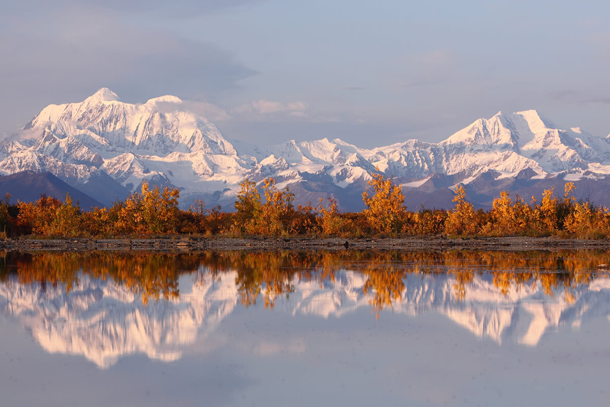
Alaska Range: The Alaska range is home ot the tallest peak in the United States, Denali, and is considered to be the tallest mountain range in the states.
Hiking is one of the best ways to see and experience the mountains in the United States. There are generally ranger stations, offices, visitor centers or online links to trails and guides in most of the major mountain ranges and outdoor destinations.
There are over 236,000 miles of hiking trails located on Federal, and State land and over 34 million people enjoy the terrain in the states each year. Incredible trails can be found from the high-peaks and dense forests of the western states to the valleys and prairies of the central U.S., and the rolling hills and dramatic coastline of the eastern states.
Tips for hiking in the states:
The American Alpine Club was established in 1902 as an elite adventurers club, but has since transformed into a resource for discussing environmental policy, high altitude safety, climbing innovation, expeditions, and world exploration. The American Alpine Club helps the states balance land use with preservation efforts and includes information on wilderness management, registration, huts, and roads.

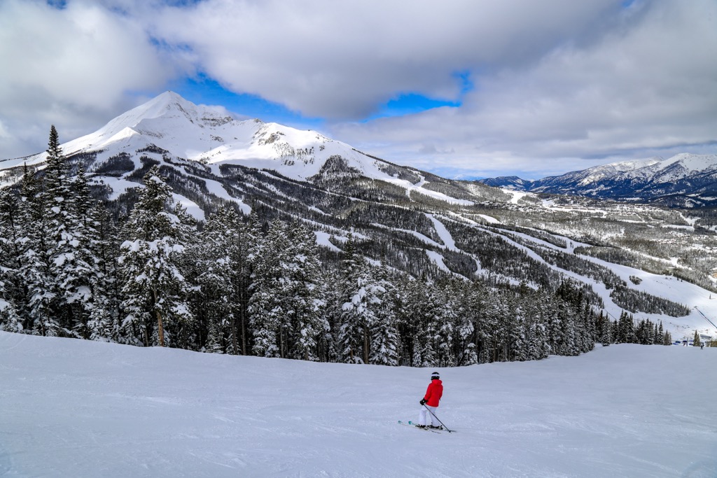
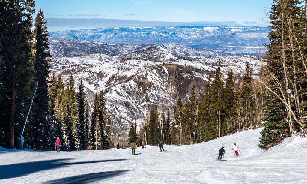
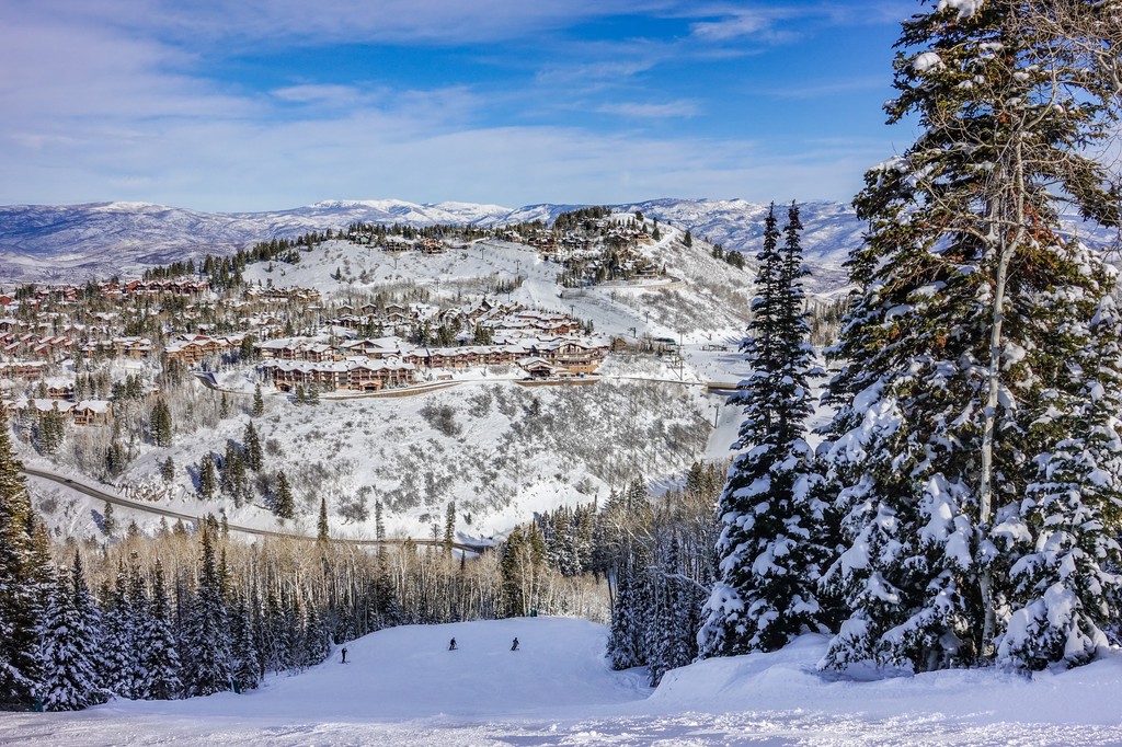
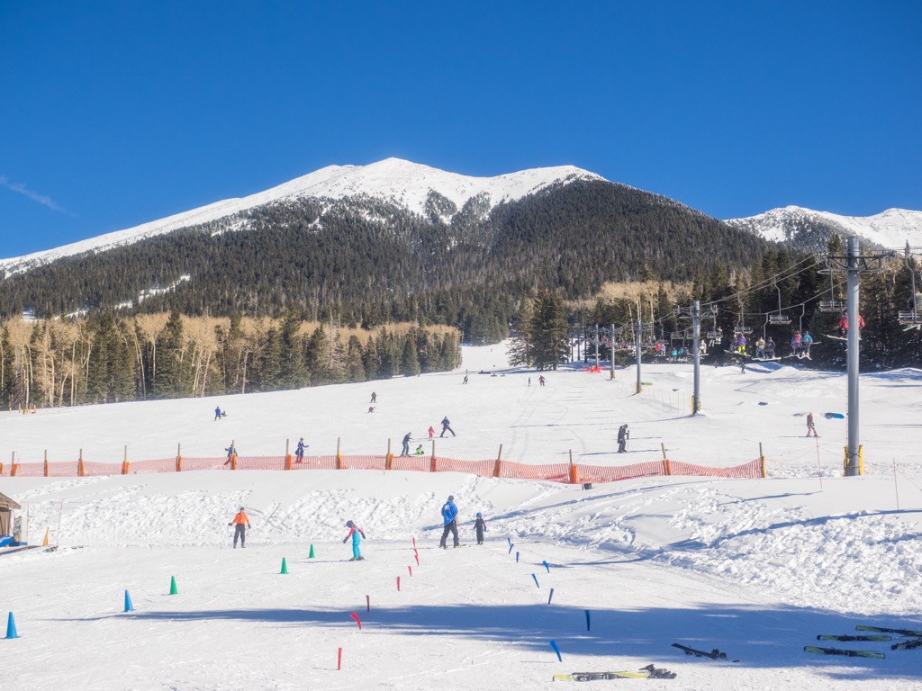
For skiing and snowboarding enthusiasts, there are more than 500 ski resorts in the USA. They are located throughout the country, but the greatest number of areas for skiing in the USA mountains are in the west in the state of Colorado, which also brought together the largest of them. On the administrative map, the country’s other major ski states are California, New Mexico, Montana, Oregon, Washington, Michigan, New York, Vermont, and Wyoming.
However, the largest ski resort in the USA is Park City in Utah with more than 250 km (155 mi) of slopes and more than 40 ski lifts in total. It is also the main ski resort near Salt Lake City, the capital of the state.
Other 25+ major areas for skiing in the USA with more than 100 km (62 mi) of slopes and more than 10 ski lifts each include the following in descending order of size (most of them are in Colorado unless otherwise noted):
The three main ski resorts near Washington, D.C., the capital of the USA, are Liberty Mountain, Whitetail, and Roundtop with up to 10 km (6 mi) of slopes and more than several ski lifts. The main ski resort near New York, the largest city in the country, is Mountain Creek–Vernon with more than 20 km (12 mi) of slopes and more than 10 ski lifts. The main ski resort near Los Angeles, the largest US city on the west coast is Mt. Baldy, which has more than 20 km (12 mi) of slopes and more than 10 ski lifts. The nearest ski resorts to the other 8 largest cities in the USA are the following ones:
Check the USA ski resorts map in the World Mountain Lifts section of the site. It includes information about open ski lifts / slopes in the USA in real-time with opening dates and hours. There are also year-round cable cars, funiculars, cog railways, aerial tramways, and all other types of mountain lifts.


14er
ultra
glacier
alaska-13ers
fred-beckey-great-peaks
alaska-ultras
14er
ultra
glacier
4000ers-canada
alaska-13ers
fred-beckey-great-peaks
canada-sampler
alaska-ultras
yukon-ultras
14er
ultra
alaska-13ers
alaska-ultras
14er
ultra
glacier
alaska-13ers
alaska-ultras
14er
ultra
glacier
alaska-13ers
fred-beckey-great-peaks
alaska-ultras
14er
ultra
glacier
volcano
cascade-range-9000ers
washington-bulger
smoots-100
chemeketan-18-nw
mountaineers-6-peak-pin
mountaineers-5-peak-pin
cascade-volcanoes-pin
mazamas-16-nw-award
fred-beckey-great-peaks
washington-ultras
14er
ultra
4000ers-canada
11ers-bc
alaska-13ers
canada-sampler
british-columbia-ultras
alaska-ultras
14er
ultra
glacier
volcano
alaska-13ers
alaska-ultras
13er
ultra
glacier
alaska-13ers
alaska-ultras
14er
ultra
glacier
4000ers-canada
alaska-13ers
fred-beckey-great-peaks
canada-sampler
alaska-ultras
yukon-ultras
13er
ultra
glacier
alaska-13ers
alaska-ultras
14er
ultra
california-13ers
las-vegas-mountaineers-classics
porcella-burns
western-state-climbers
western-state-climbers-star
sierra-club-sierra-peaks-section
sierra-peaks-section-emblem
sierra-sampler
vagmarken-sierra-crest
fred-beckey-great-peaks
california-ultras


