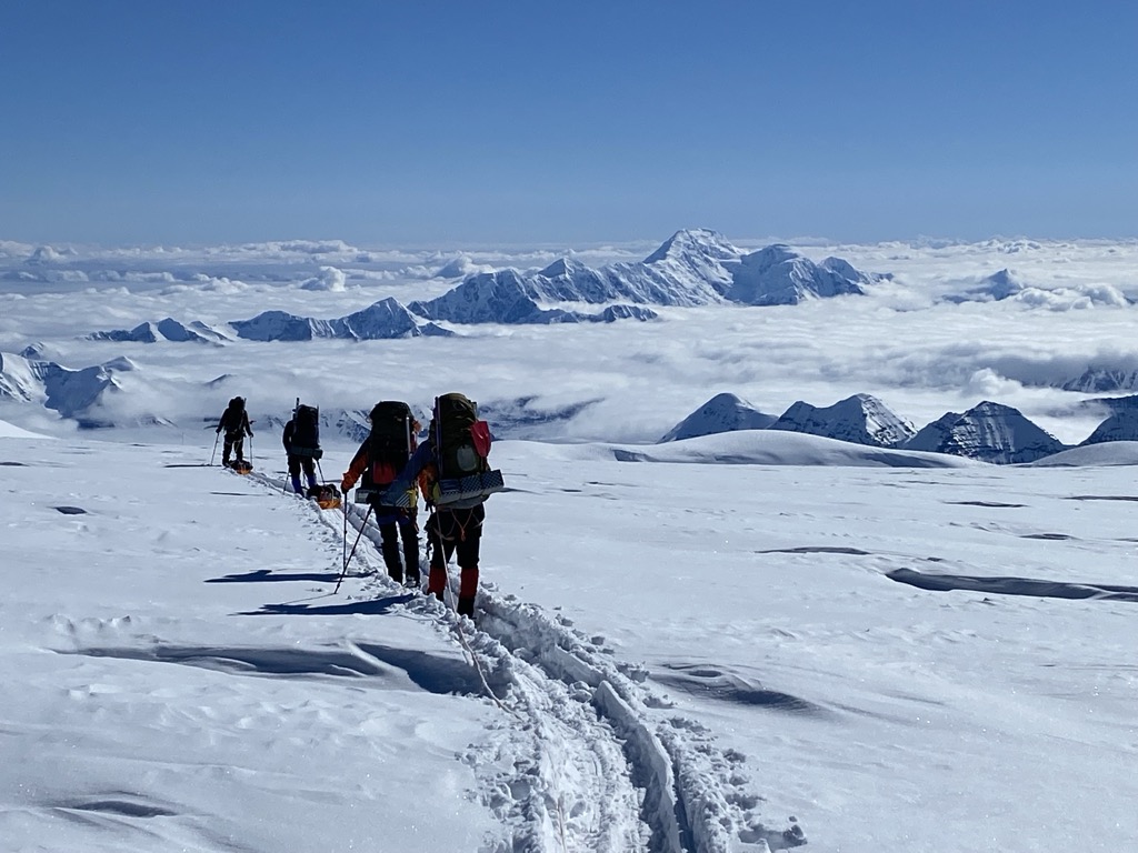
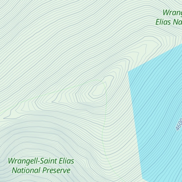
Mount Bona, located in the Saint Elias Mountains in eastern Alaska, is the fourth highest peak in the United States and the highest peak in the eastern part of the state. It stands at an impressive 16,550 ft (5,045 m) and is part of the Wrangell-St. Elias National Park and Preserve.
In 1897, while Prince Luigi Amedeo was climbing Mount Saint Elias located 80 miles to the southeast, he discovered a peak which he named Mount Bona. The mountain was named after his racing yacht, the Bona.
Mount Bona is home to some of the most spectacular glaciers in Alaska, including the Russell Glacier and the Hawkins Glacier. It is also home to a variety of wildlife, including grizzly bears, black bears, mountain goats, caribou, and moose.
Mount Bona is a stunning peak that is sure to leave any adventurer with lasting memories.
By elevation Mount Bona is
# 10 out of 3806 in Alaska # 10 out of 91437 in USA # 1 out of 70 in Wrangell–Saint Elias National Preserve # 1 out of 1793 in Unorganized Borough # 6 out of 423 in the Saint Elias Mountains
By prominence Mount Bona is
# 25 out of 3806 in Alaska # 45 out of 91437 in USA # 1 out of 70 in Wrangell–Saint Elias National Preserve # 9 out of 1793 in Unorganized Borough # 9 out of 423 in the Saint Elias Mountains
We use GPS information embedded into the photo when it is available.
3D mountains overlay
Adjust mountain panorama to perfectly match your photos because recorded by camera photo position might be imprecise.
Move tool
Rotate tool
Zoom
More customization
Choose which peak labels should make into the final photo and what photo title should be.
Next
Photo Location
Satellitte
Flat map
Relief map
Latitude
Longitude
Altitude
OR
Latitude
°'''
Longitude
°'''
Apply
Register Peak
Peak Name
Latitude
Longitude
Altitude
Register
Teleport
PeakVisor
This 3D model of Sagarmatha National Park in Nepal was made using the PeakVisor app topographic data. The mobile app features higher precision models worldwide, more topographic details, and works offline. Download PeakVisor maps today.
Download OBJ model
PeakVisor
The download should start shortly. If you find it useful please consider supporting the PeakVisor app.
PeakVisor for iOS and Android
Be a superhero of outdoor navigation with state-of-the-art 3D maps and mountain identification in the palm of your hand!