News & Announcements

Milano Cortina 2026 Terrain Lab: Stelvio, Tofane & Livigno (and where the crux really is)
05 February 2026
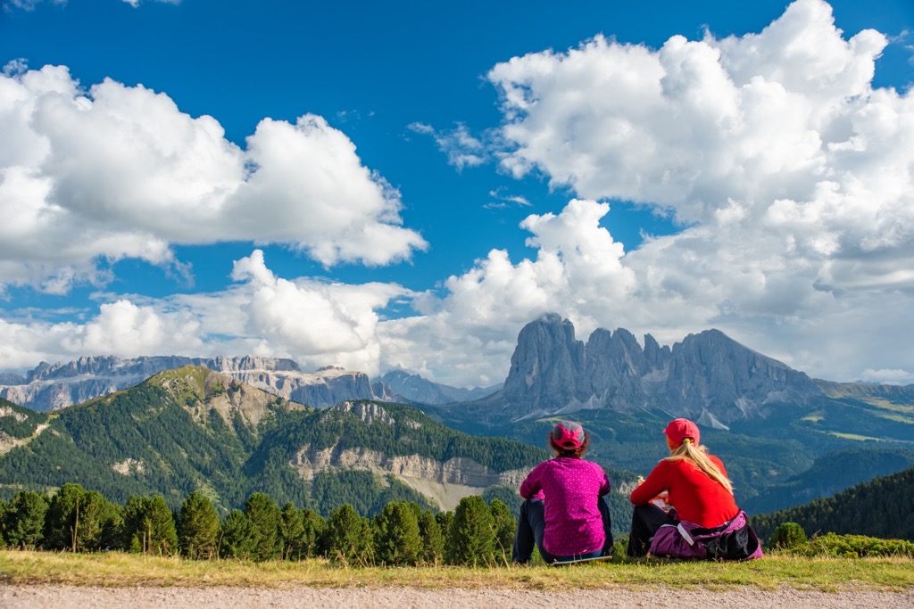
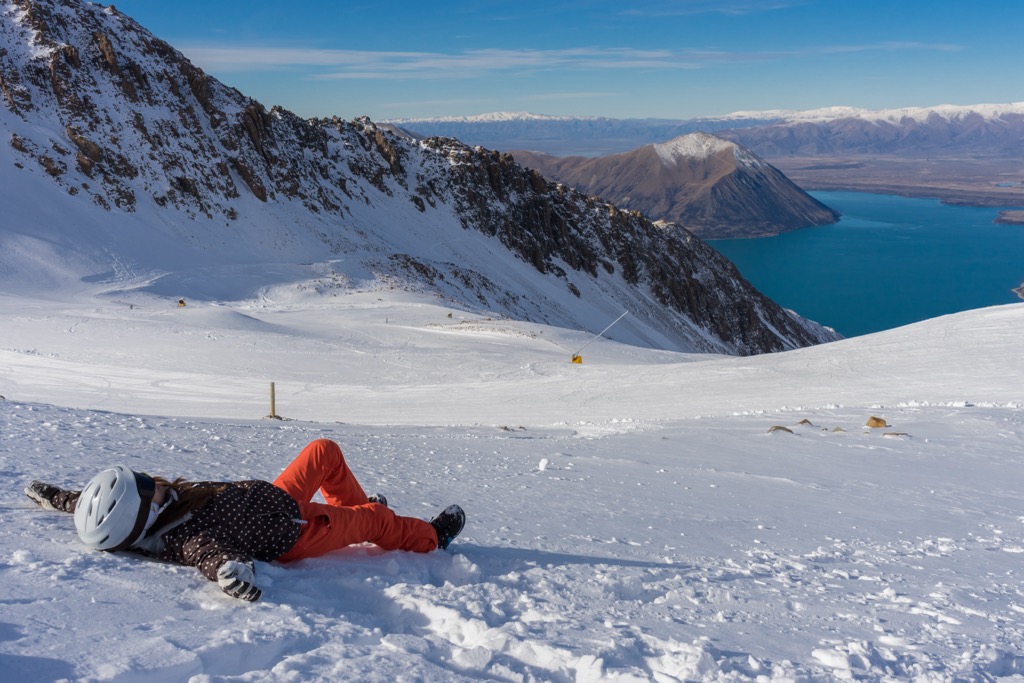
A PeakVisor terrain deep-dive into three Milano Cortina 2026 mountain venues: the Stelvio downhill in Bormio, the Olympia delle Tofane in Cortina, and Livigno’s freestyle & snowboard parks — with crux moments, 3D views, and official links.
Read more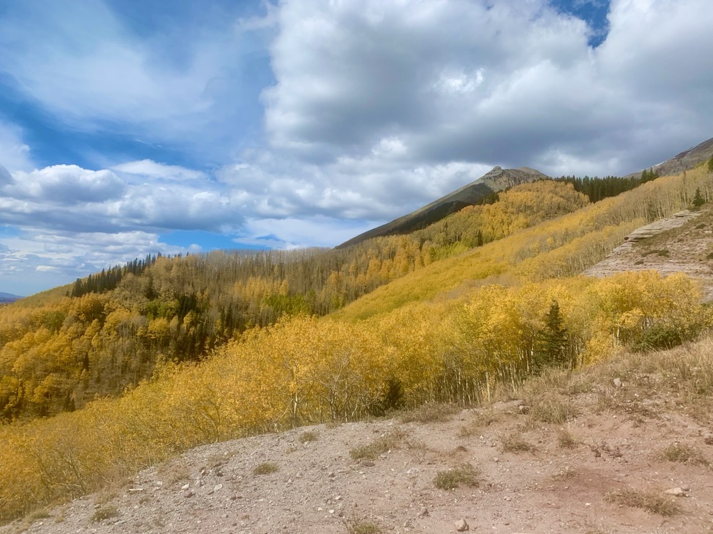
Fall Foliage in the U.S.A
29 September 2025
It’s nearly that time of year. The sun begins to sink low in the sky, casting shadows along the trail. As the sun's influence wanes, nights become comfortably cool. These seasonal shifts precipitate an annual tradition for the billions of trees that call the USA home. Like dying stars, the leaves erupt in a supernova of color, a last celebration of their brief time on this planet.
Read more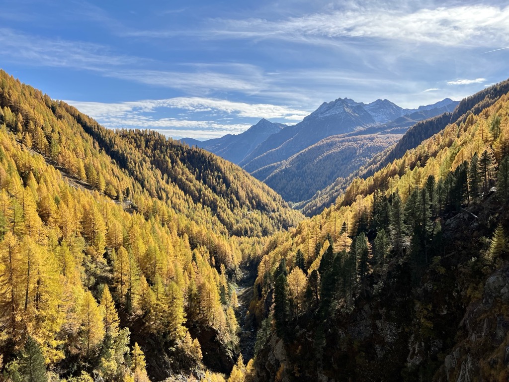
An Ode to Autumn
24 September 2025
It’s that time of year again. Summer has come to a close, and the trees celebrate with their annual supernova of colors. We’re going to dive into the science of fall colors, the best times to catch displays, and the best destinations for European leaf-peepers. Stay tuned!
Read more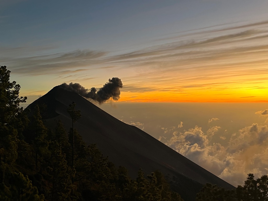
Trekking in Guatemala
09 September 2025
An Ascent of Acatenango: A Story of Fire on the Volcán de Fuego, Dreamy Cloud Forest, and New Travel Companions Guatemala is a magical and severely underrated travel destination. Its raw beauty, mountainous terrain, and over 14,000 years of human existence have created a land brimming with culture and authentic human connection.
Read more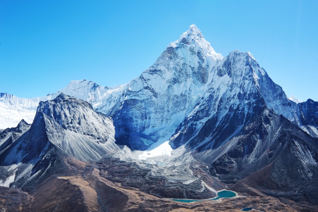
Nepal Makes Nearly 100 Remote Peaks Free to Climb, Raises Everest Permit Price
04 September 2025
These and other rules are the latest in an effort to address overcrowding on the world’s highest peak. Will they work? The 2025 autumn climbing season is just around the corner on Mount Everest (8,849 m / 29,032 ft), the world’s highest peak, and with the new season, several new rules are in effect on the Nepalese side, home to the vast majority of summit attempts.
Read more
Your Favorite Mountain Movies: Where Were They Filmed?
29 August 2025
The mountains hold a prominent place not only in our collective hearts, but also on the proverbial Silver Screen. I’m not talking about documentaries about mountain exploits, like Free Solo or Meru. I’m talking about movies where mountains aren’t central to the plot; instead, they provide the cinematic backdrop to some of our favorite films.
Read more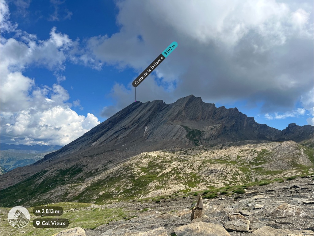
Hiking in the French Queyras
30 July 2025
Most people lucky enough to visit the French Alps funnel through resort factories like Tignes, Val Thorens, or Chamonix. All of these places are exceptional, but there’s oh-so-much more to the story. Peel back the layers of the Alps and you’ll find paradise after paradise of lesser-known, but more culturally intact regions
Read more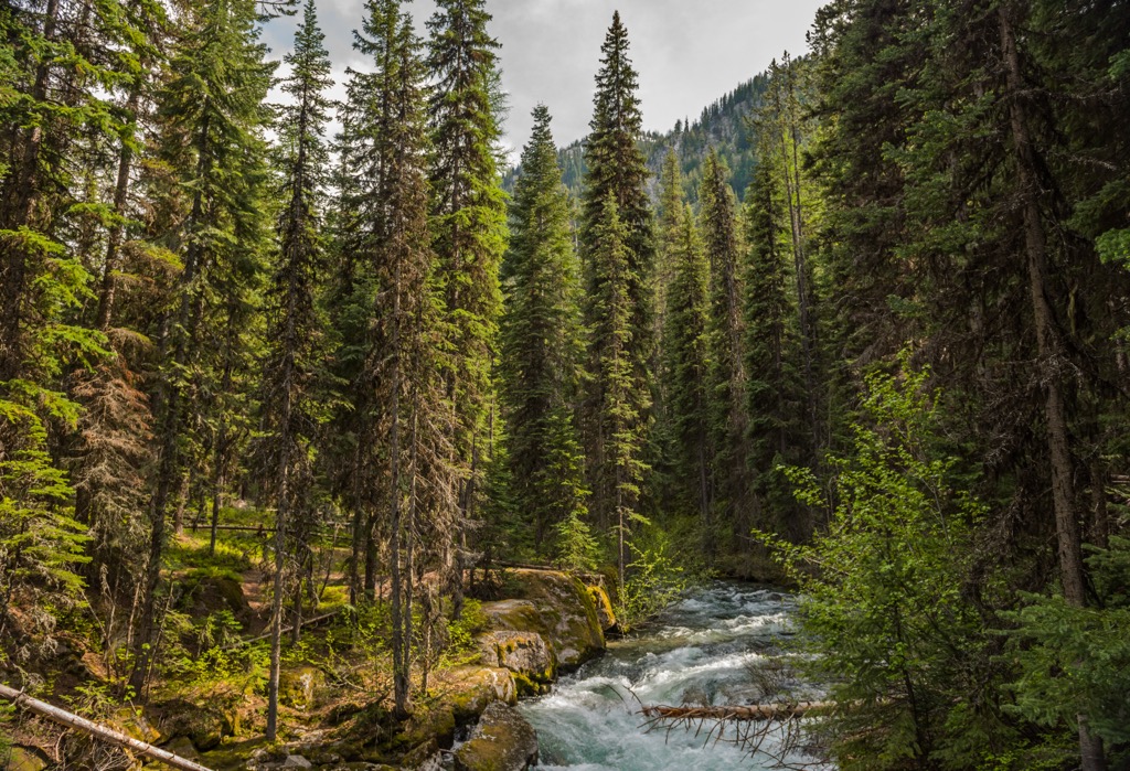
A Road Trip Around the Wilderness of Eastern Oregon
21 July 2025
Western Towns and Rugged Wilderness. Eastern Oregon Has More to Offer Than You Might Think! If you’re like me, when you think of the U.S. state of Oregon, you probably think of Portland, the rugged Pacific Coast, and iconic coastal towns like Astoria, Tillamook, and Newport. Inland, you may think of the Columbia River Gorge, the Cascade Range, and outdoor sports in places like Bend, Eugene, and Grants Pass.
Read more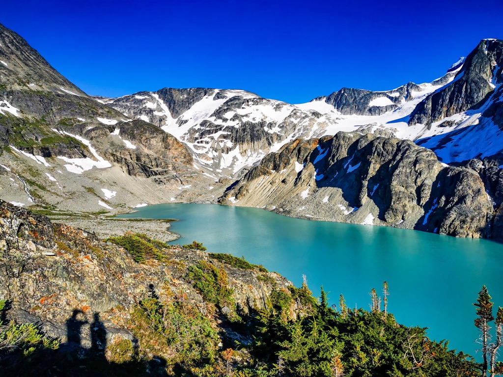
Wedgemount Lake
07 July 2025
Its rich turquoise waters, fed by the Wedgemount and Armchair glaciers, complement towering rock and snow above. The vivid array of colors is a visual spectacle, an inspiration to those fit enough to witness this alpine gem in person.
Read more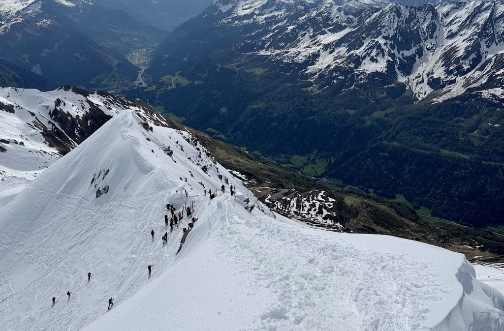
Skiing Pizzo Lucendro
25 June 2025
The San Gotthard Pass Classic is the Perfect Spring Ski Adventure
Read more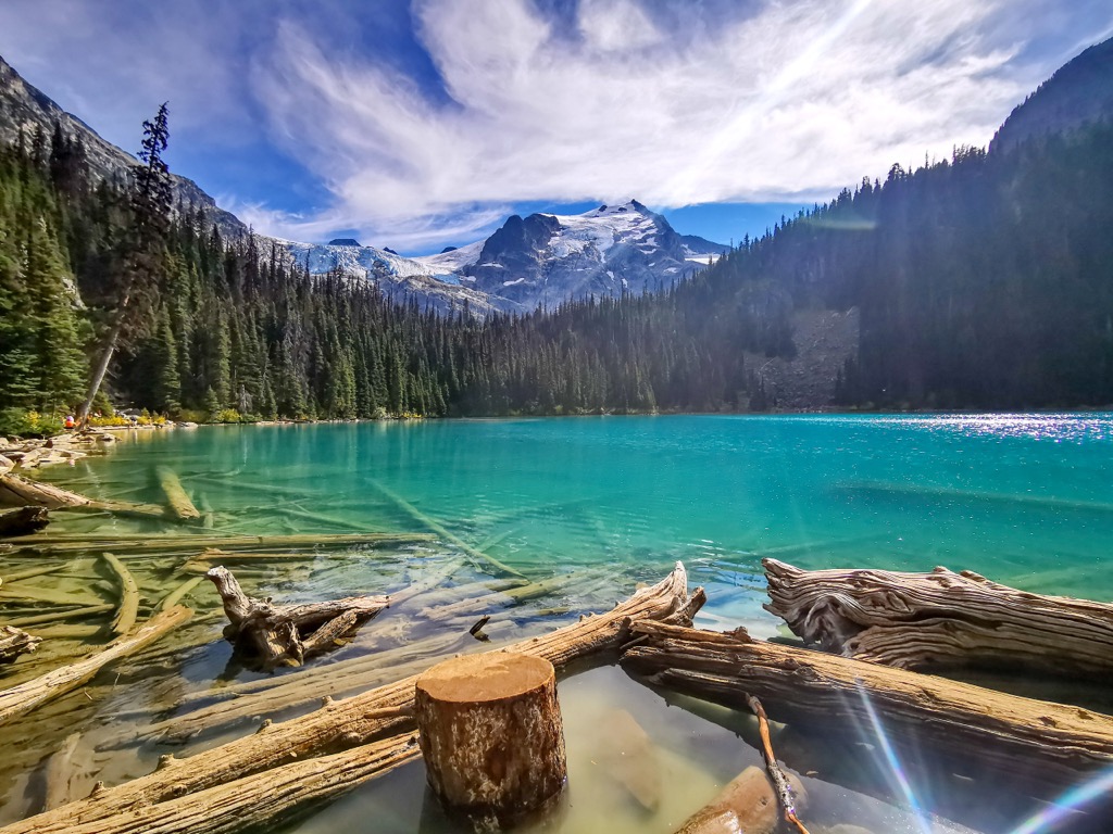
Exploring the Turquoise Waters of Joffre Lakes: Backpackers Edition
18 June 2025
Nestled in the heart of British Columbia’s Coast Mountains, Joffre Lakes Provincial Park is fast becoming one of Canada’s most popular recreation areas. From hiking and camping in the summer to world-class ski touring in winter, it’s a destination that’s attracted a million outdoor enthusiasts, nature photographers, and curious adventurers.
Read more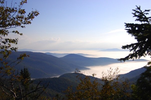
Hiking End-to-End on Vermont’s Long Trail
02 June 2025
The Long Trail, or “LT,” as it’s affectionately known, is not just any old long trail. It is America’s oldest long-distance hiking trail, conceived on Stratton Mountain in 1909 by James P Taylor, Headmaster at the Vermont School for Boys at the time.
Read more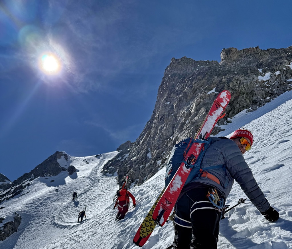
Journal des Écrins: Col Claire Ski Descent
02 June 2025
It’s a genuinely classic ascent that can compete with the best in the Alps. You can see the Col Claire from the Col du Lautaret, and I don’t often see tracks in it; now I understand why. The skiing is beautiful and not the easiest, but it’s the ascent that makes this route one of the most thrilling I’ve ever done.
Read more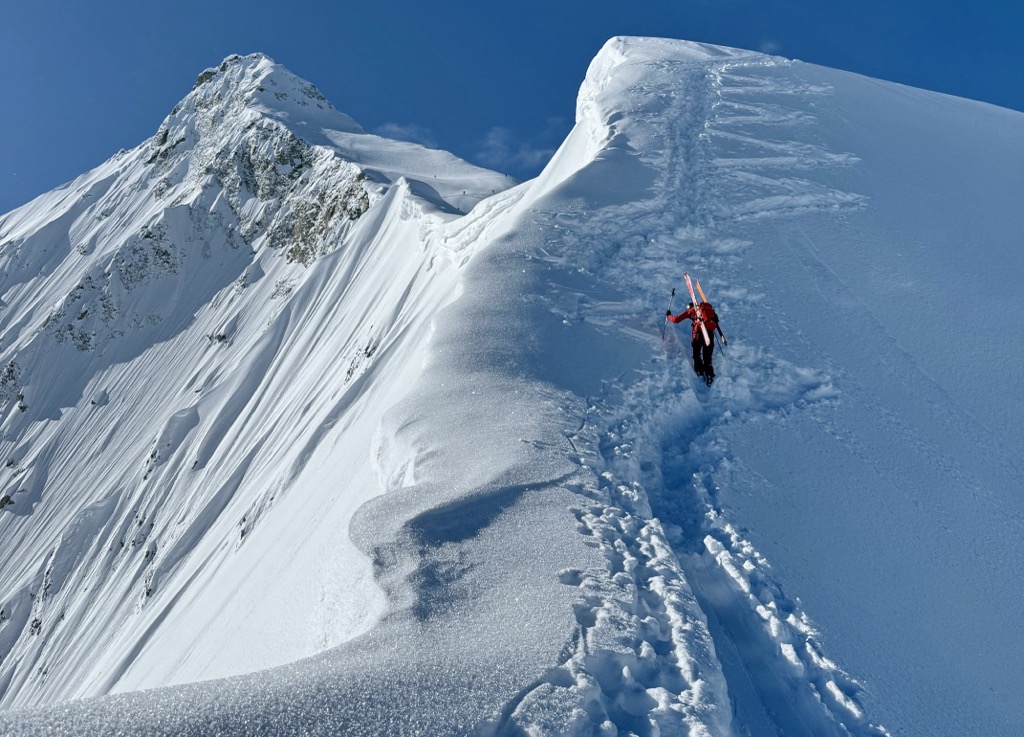
Journal des Écrins: Neige Cordier, Refuge des Écrins, and Couloir Nord Roche Faurio
29 May 2025
Chronicling the Parc National des Écrins' Most Iconic Routes
Read more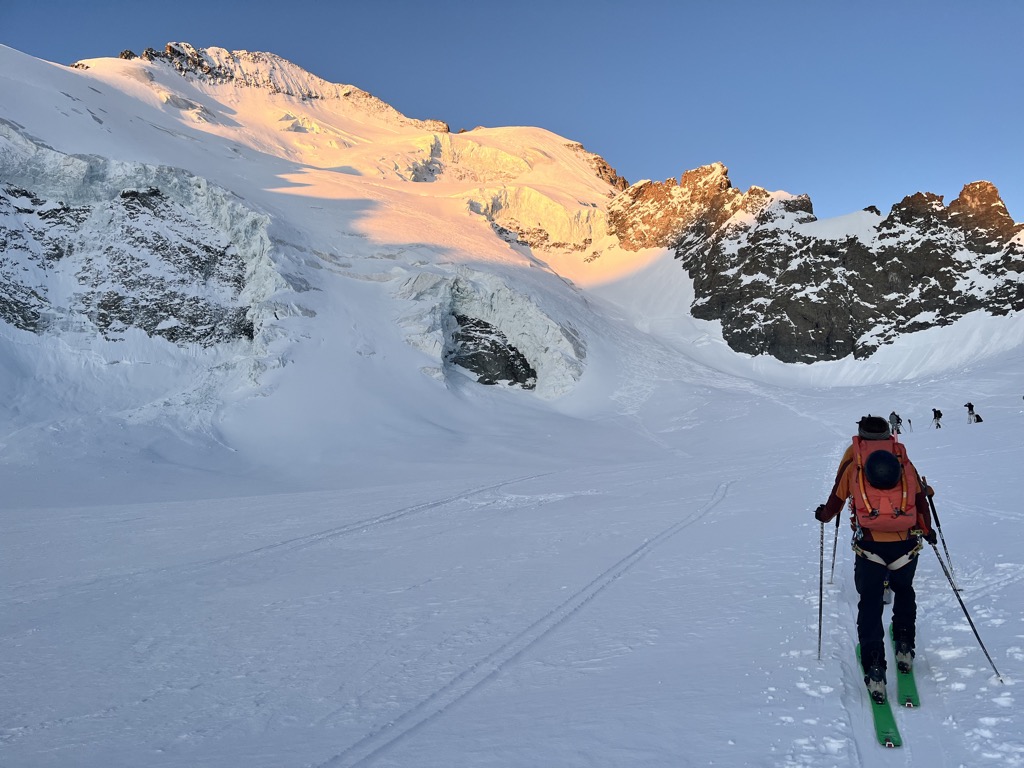
Journal des Écrins: Barre des Écrins Ski Descent
26 May 2025
By the time the end of April rolls around, skiing is a distant memory for most folks. But spring is a fickle friend in the Alps during April, and winter returned that night. A short but sweet burst sifted out 20 cm of light, dry powder over the high mountains.
Read more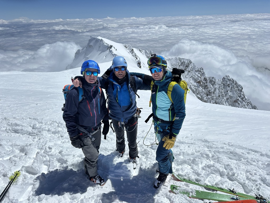
Mont Blanc in a Day
22 May 2025
Climbing and skiing Mont Blanc in a day almost happened by mistake. How could that be possible, you ask? Did I slip on a banana peel and end up at the top of the tallest mountain in western Europe? Here’s the story.
Read more
Food Culture Across the Alps
02 April 2025
Mountains Serve as Geographical Barriers, Creating Hundreds of Distinct Food Cultures
Read more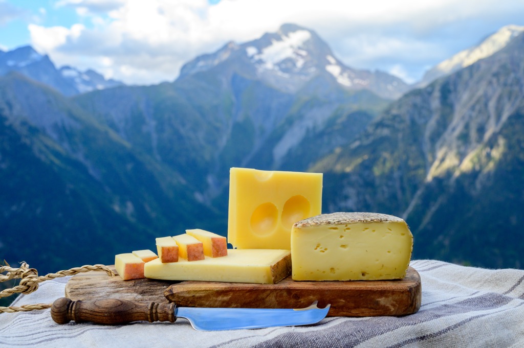
Cows, Blueberries, and Avalanches
03 March 2025
A Gourmet's Glance at the French Alps. Discover the hidden culinary treasures of alpine villages where tradition meets exquisite taste.
Read more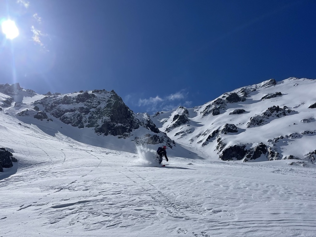
Getting Faster Ski Touring
11 February 2025
If you’ve been skiing for any amount of time, you’re likely familiar with the concept of ski touring. Self-propulsion comes with a number of advantages; fresh tracks, more exciting lines, pristine mountain environments, solitude, and silence are just a few of the perks.
Read more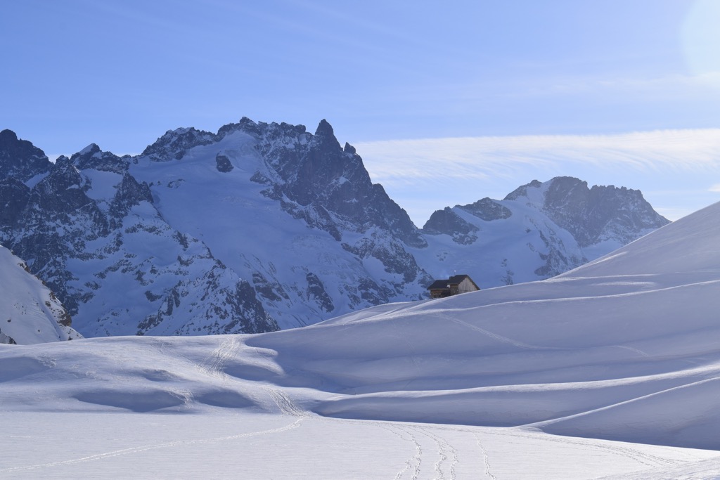
Ski Touring at the Refuge du Goléon
31 January 2025
A Sanctuary Amongst France’s Écrins Mountains
Read more
PeakVisor Insights: Why Fat Skis Are Bad For Knees
28 January 2025
They May Be Great in Powder, but Increasing Evidence Shows That Fat Skis Put More Force on the Knee Joint
Read more
Skiing a San Juan Classic: Wilson Peak (The Coors Face), Northeast Couloir
23 January 2025
The middle of May in the San Juan Mountains of Southwest Colorado, USA
Read more
Searching for the Greatest Snow on Earth
27 December 2024
Utah Has a Trademark on the Name. But the Earth Is a Big Place, and There’s More to the Story
Read more
Best Countries to Move to if You Love Mountains
22 December 2024
Expatriotism for Those Seeking Adventure
Read more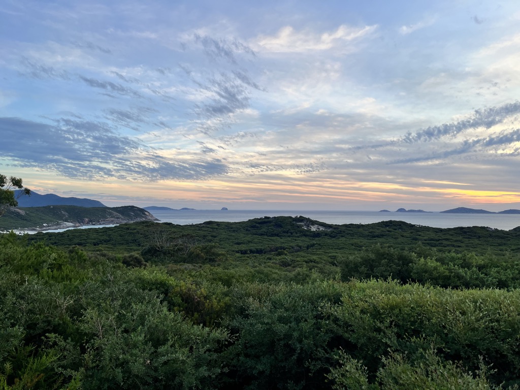
Hiking in Wilson’s Promontory
17 December 2024
An Overnight Excursion Into One of Australia’s Best National Parks
Read more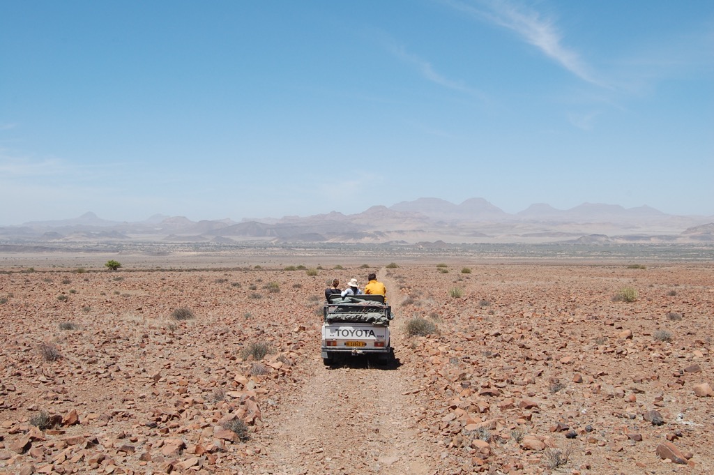
Nomad-Friendly Countries for Mountain Lovers
04 December 2024
PeakVisor’s Top Picks for Digital Nomad Visa-Issuing Countries …for those who love mountains, of course.
Read more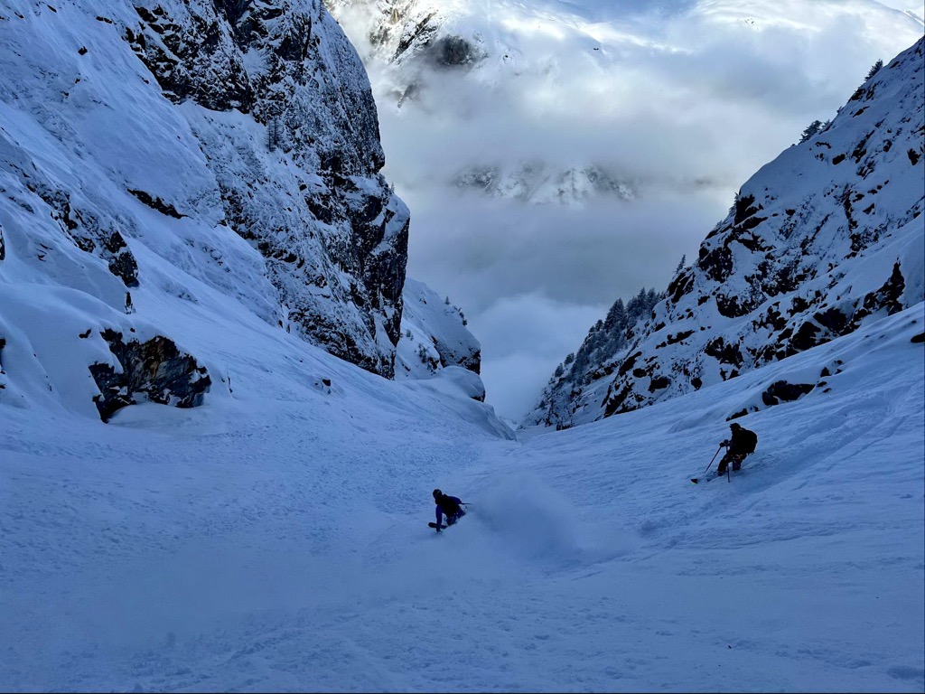
PeakVisor Professional Alpine Guides Program
15 October 2024
PeakVisor is an ultimate digital solution created by mountain lovers, for mountain lovers
Read more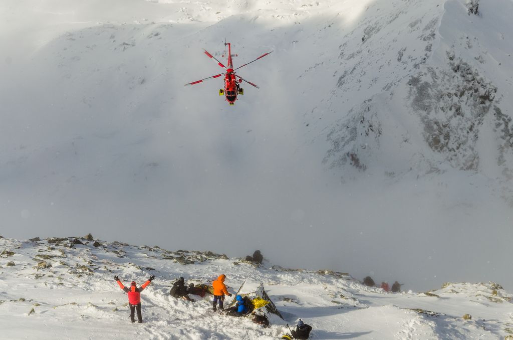
Mountain Rescue Cheatsheet
01 October 2024
Being the focus of a mountain rescue operation is the stuff of nightmares for mountain enthusiasts. Therefore, it’s better to be overprepared than the other way around.
Read more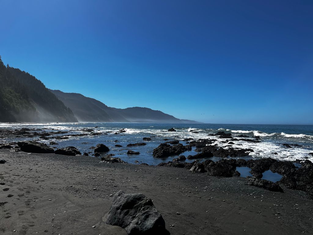
Backpacking California’s Lost Coast Trail
23 September 2024
A Trip Report from One of the World’s Most Unique Backcountry Routes
Read more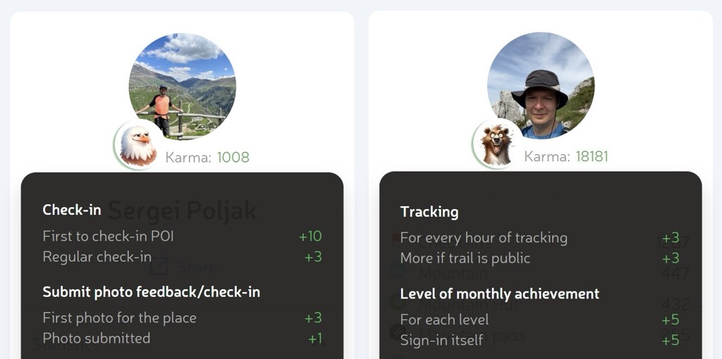
Instant Karmas Gonna Get You!
01 August 2024
Trail “Karma” is the New Outdoor Achievement Score
Read more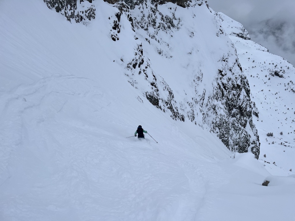
How to Stay Fit For Skiing
30 July 2024
Living Your Best Ski Life Means Knowing How to Make the Most of Off-Season
Read more
Discover the Best Trails Wherever You Go
10 July 2024
Using PeakVisor’s Brand New Discovery Feature to Find New Adventures
Read more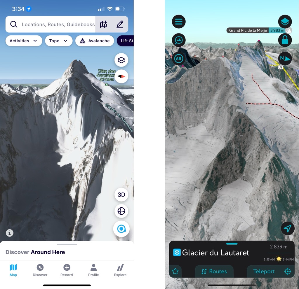
FATMAP Replacement
27 June 2024
Using the PeakVisor App to Plan Backcountry Ski Adventures. FATMAP is OUT…And PeakVisor is IN
Read more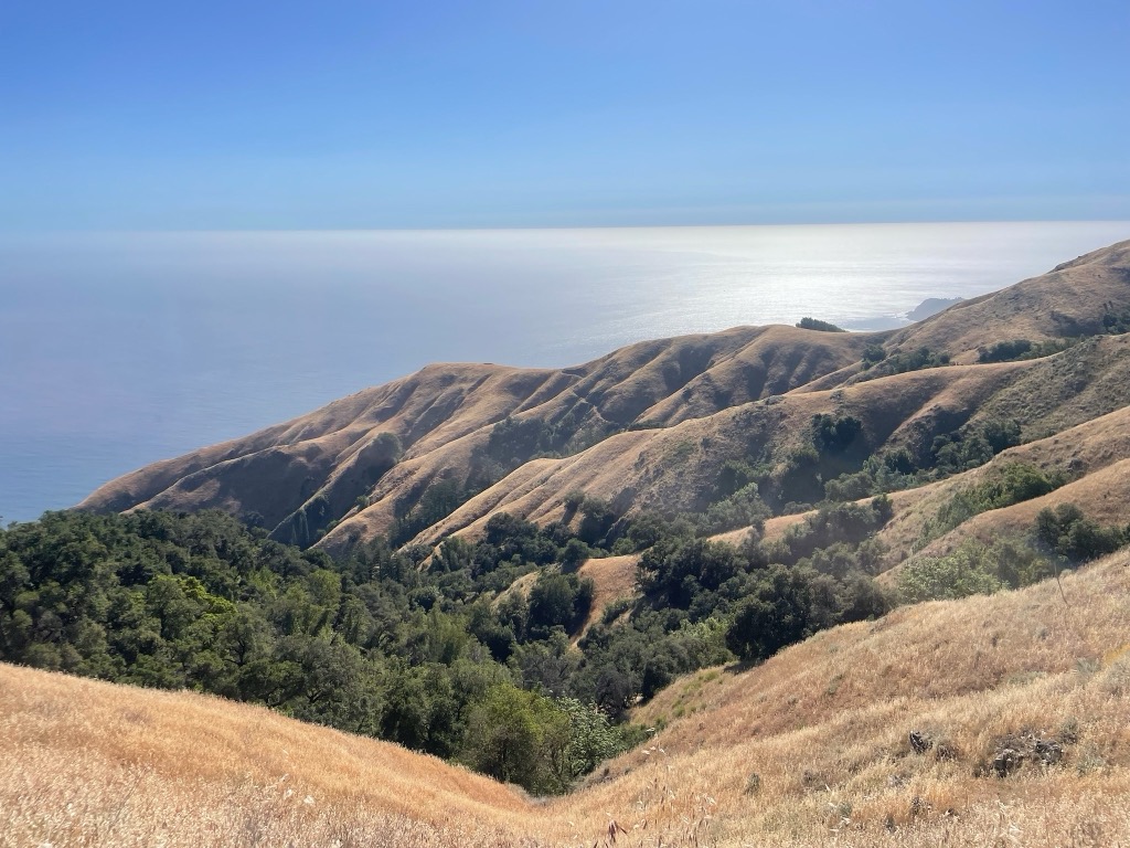
Big Sur’s Sykes Hot Springs Backpacking Loop
25 June 2024
Traversing California’s Famed Wilderness Over Five Extraordinary Days
Read more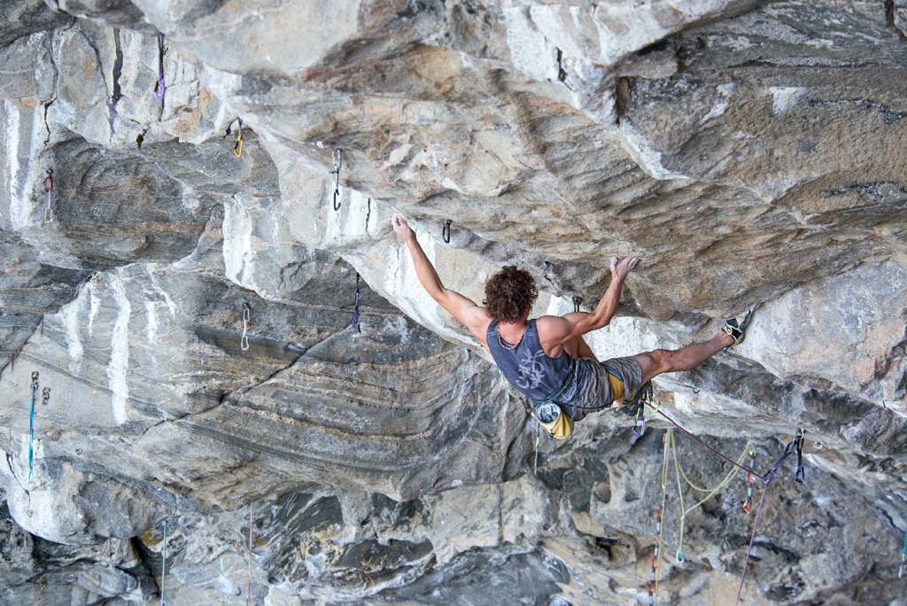
How to Start Rock Climbing
03 June 2024
Rock climbing is not a new sport. Its predecessor, alpine climbing, has existed to some extent since the dawn of man’s curiosity.
Read more
How to Start Mountain Biking
24 May 2024
A Beginner’s Bible. If you haven’t already considered it, you should harness that summer motivation to start mountain biking. Or, perhaps you’ve been dreaming of becoming a mountain biker for years but haven’t gotten around to it.
Read more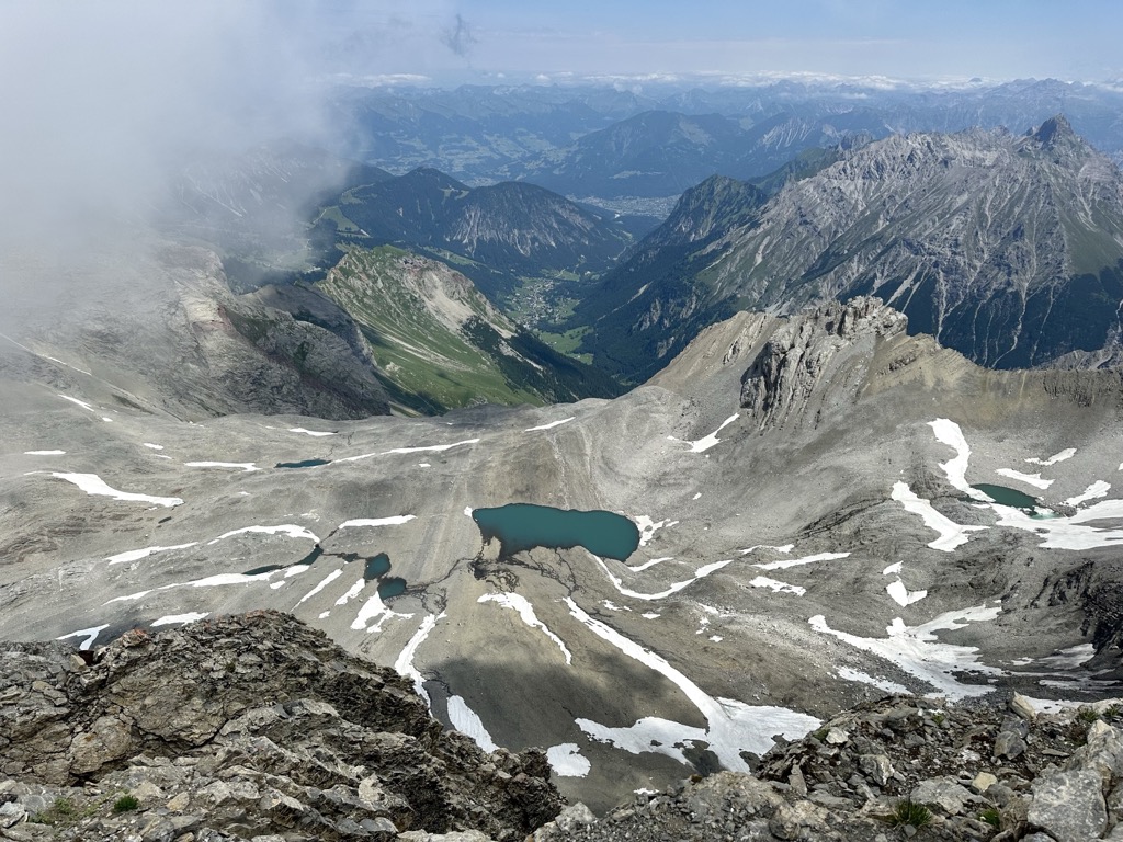
Climbing Schesaplana
23 May 2024
The Rätikon Alps' Highest Summit is Perfect for Adventure-Seeking Families
Read more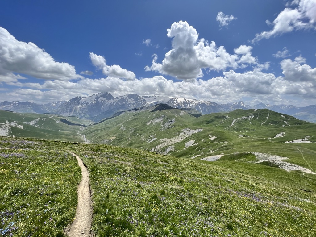
A Hearty Welcome to Another Hiking Season!
16 May 2024
Choosing the Right Hike Using the PeakVisor Mobile App
Read more
Leave No Trace: How to Minimize Impact in the Mountains
14 May 2024
As outdoor enthusiasts, it’s up to us to be responsible stewards of the land. Here’s how to “Leave No Trace” the next time you’re in the mountains.
Read more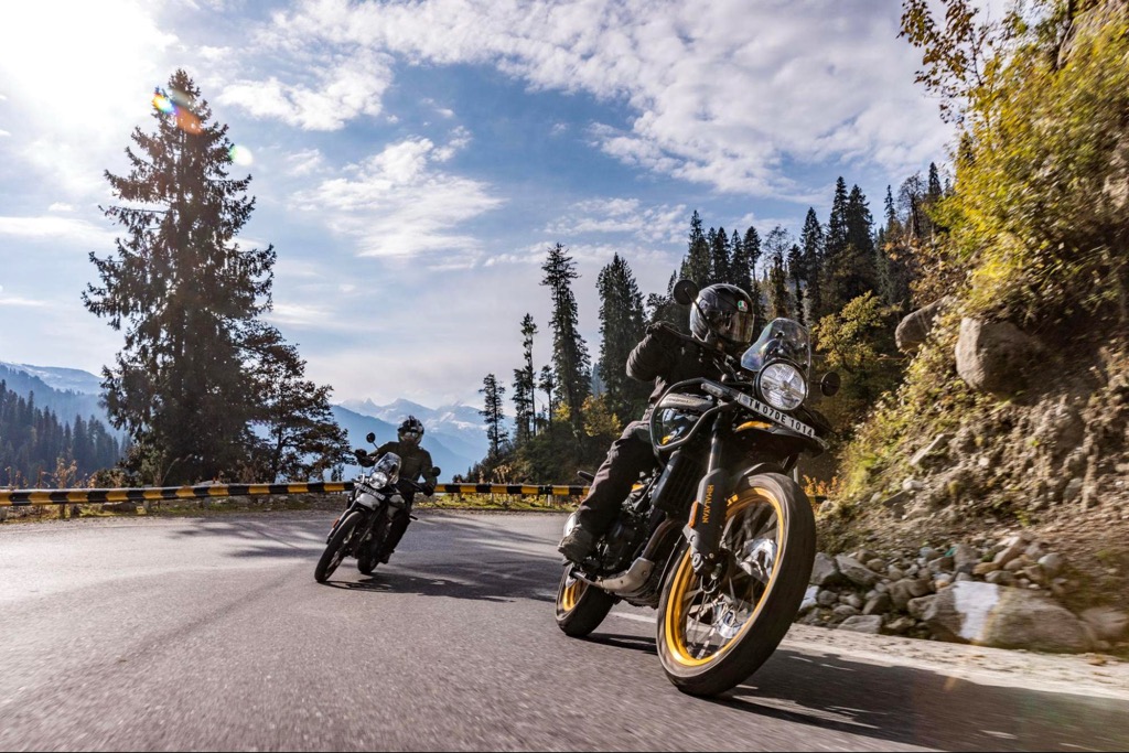
How to Experience the Mountains by Motorcycle
05 May 2024
Sometimes, two wheels are better than two feet. You're missing out if you’ve never considered exploring the mountains by motorcycle. This guide has everything you need to know.
Read more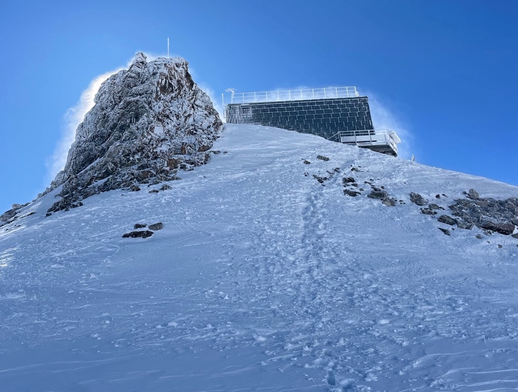
The Tabuchet Glacier, Refuge d’Aigle, and Glacier de l’Homme
01 May 2024
The Refuge d’Aigle known as one of the most—if not the most—beautiful refuges in the Alps, the Aigle also has a reputation for always remaining just out of reach, especially in the winter.
Read more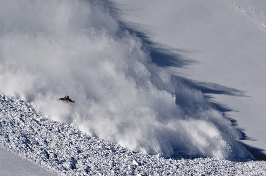
Introductory Guide to Backcountry Avalanche Safety
17 January 2024
Each year, avalanches claim the lives of approximately 150 backcountry enthusiasts, making them the most frequent cause of death amongst ski tourers and freeriders (63% of fatalities). Knowing the basics of avalanche forecasting and rescue will make you a more valuable ski partner, keeping yourself and others safe during a long career of fulfilling mountain adventures.
Read more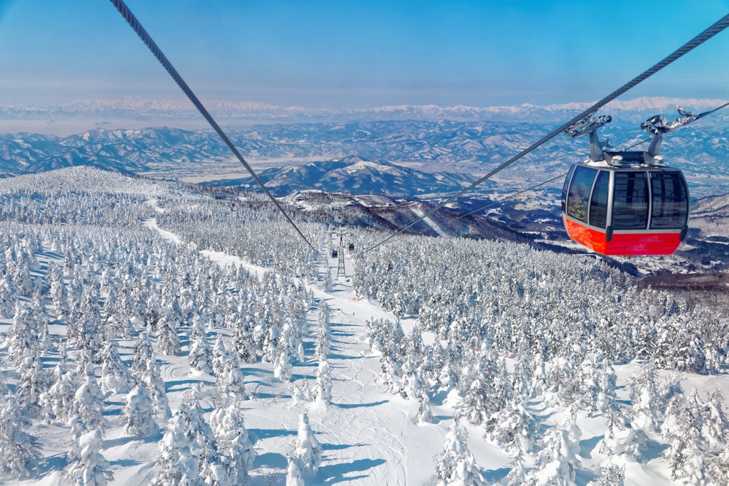
Plan the Ultimate Japan Powder Skiing Adventure
15 January 2024
Your Go-to Guide on the Best Resorts, Backcountry, Cultural Experiences, and More! Skiing in Japan means entering an otherworldly domain of bottomless cold snow, sushi, onsens, and very little English.
Read more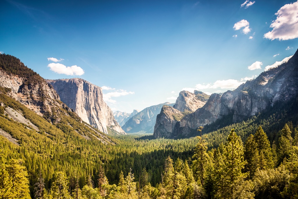
Climbing in Yosemite National Park
13 December 2023
Yosemite National Park is one of the largest, most famous, and widely visited national parks in the United States and, for that matter, the world. Home to numerous awe-inspiring granite formations like El Capitan (7,779 ft / 2,371 m), Half Dome (8,839 ft / 2,694 m), and Cathedral Peak (10,869 ft / 3,313 m)
Read more
The Secrets to Finding the Best Snow Off-Piste
27 November 2023
Becoming a Better Skier Means Knowing Where to Find the Soft Stuff
Read more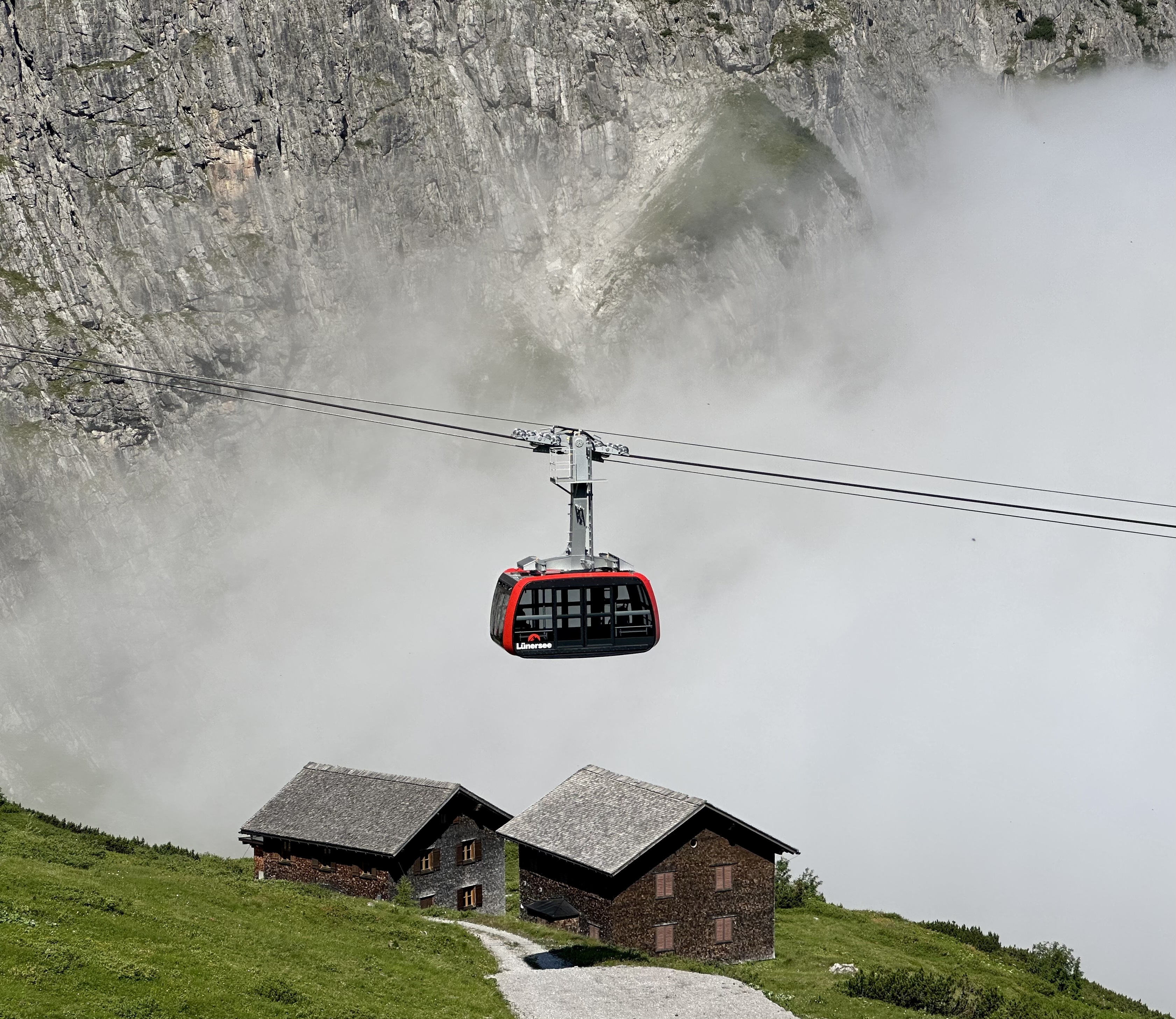
Cable Car Mania
03 August 2023
The best tool to track the thousands of cable cars scattered across our lovely planet? That would be World Mountain Lifts, a feature of the PeakVisor webpage.
Read more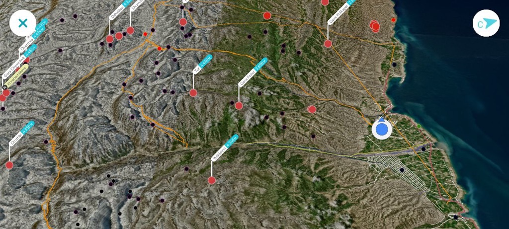
Waypoints Now Featuring KML/KMZ File Imports
02 August 2023
PeakVisor has made it possible to import KML/KMZ files onto the app. Continue your journey with all your favorite spots on our 3D maps!
Read more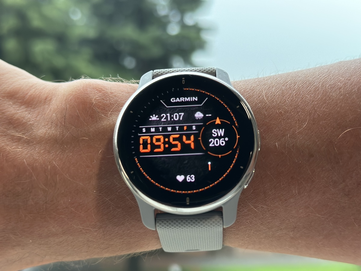
Garmin GPS Integration
24 July 2023
While we started as a Peak Identification app, we’ve expanded into a full-service navigation tool you can rely on during all your mountain adventures. We’re excited to announce Garmin GPS Integration, the logical next step in pursuing seamless activity tracking.
Read more
Summer Skiing in Europe and North America
07 June 2023
Where Can I Go to Make the Best Turns? Summer is a time for living things to grow. Nearly everyone loves the sunshine, the warmth, the long days, and outdoor activities.
Read more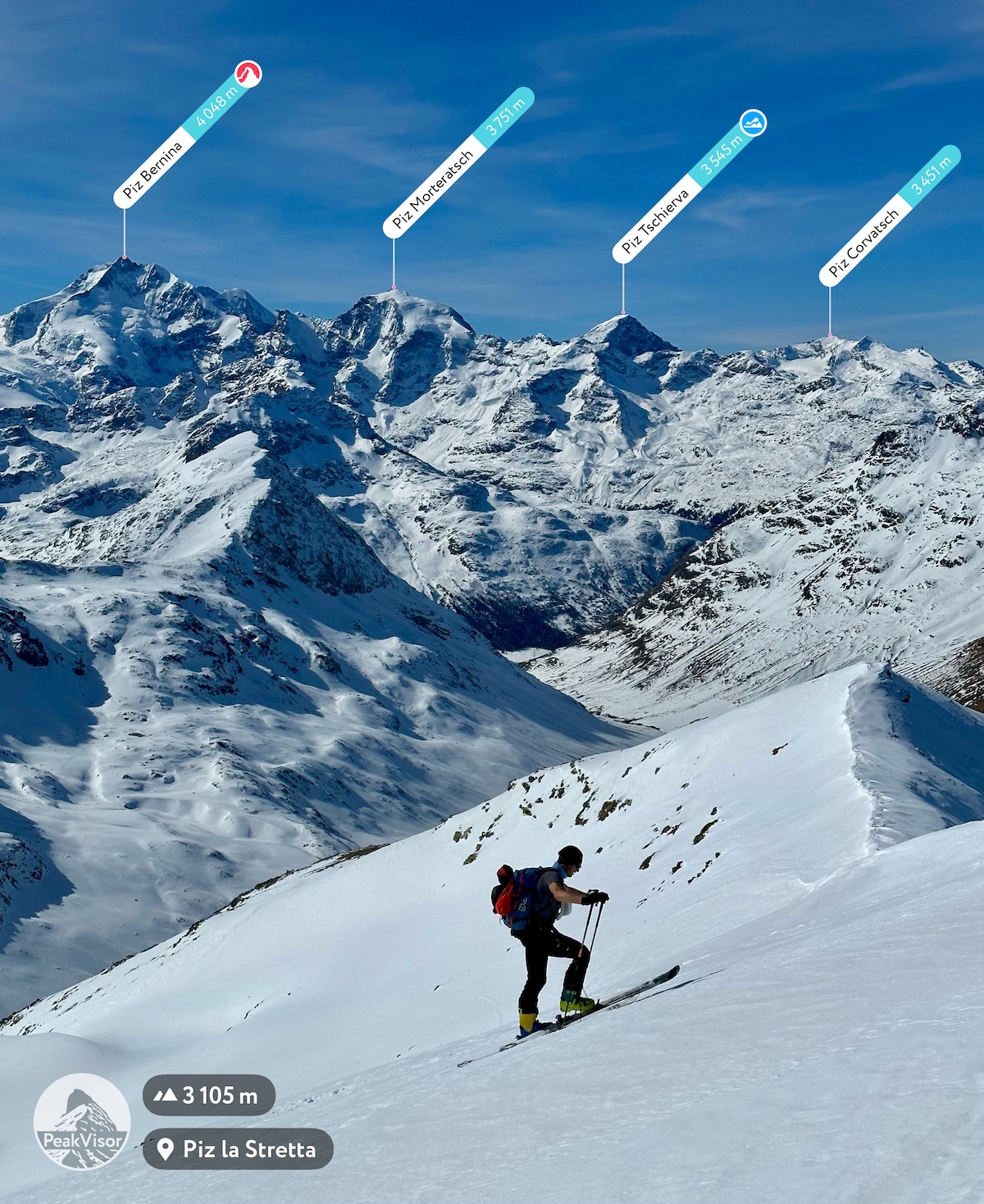
Ski Touring Map
06 March 2023
Ski touring is the oldest and one of the most beloved winter sports. To hunt and travel in deep snow, ancient peoples in Europe and Asia began attaching animal furs to the bottom of skis 10,000 years ago. In modern times, wandering through the enchanted winter landscape, climbing majestic summits with breathtaking panoramas, and skiing to the valley below are some of the most enriching experiences a person can have. What more could we dream about on a perfect winter day? (Well, more snow in the Alps would be great…)
Read more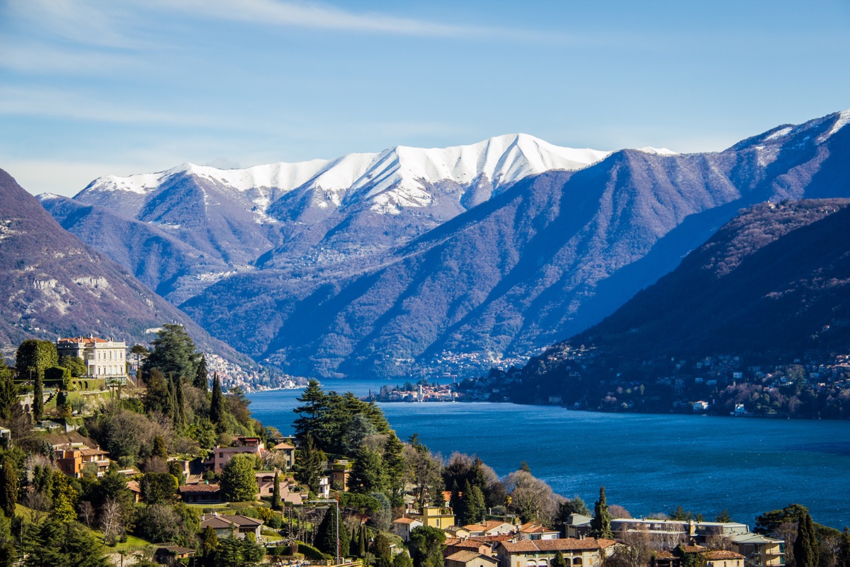
April Challenge: Spring into Adventure
07 April 2022
It’s time to head into the mountains for a bit of adventure so you can dust off your hiking gear and get ready for the upcoming summer season.
Read more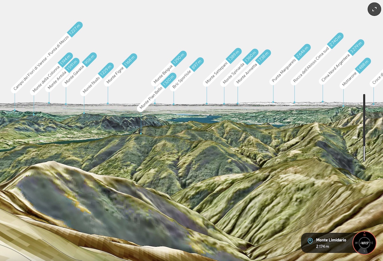
Panorama Embed API
29 January 2022
Take Your Website to New Heights With Peakvisor’s Panorama Embed API
Read more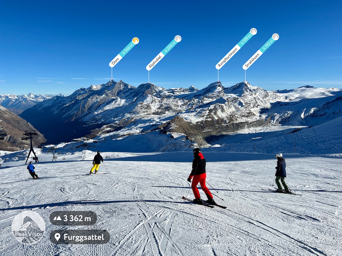
Skiing and Snowboarding with PeakVisor
08 December 2021
Winter sports are a huge part of our lives here at PeakVisor. For nearly half of each year, we think about adventures in the mountains in terms of winter gear and fun in the snow. With Winter Mode, PeakVisor’s 3D maps will display all the known ski runs in your area. Additionally, when you turn on Winter Mode, the app will adjust its color palette to more accurately display what a region looks like in the winter.
Read more
PeakVisor Lifetime PRO
07 December 2021
A lifetime PeakVisor Pro subscription was one of the most popular requests that we’ve received to date. In response, we’re now introducing the Lifetime PRO purchase option.
Read more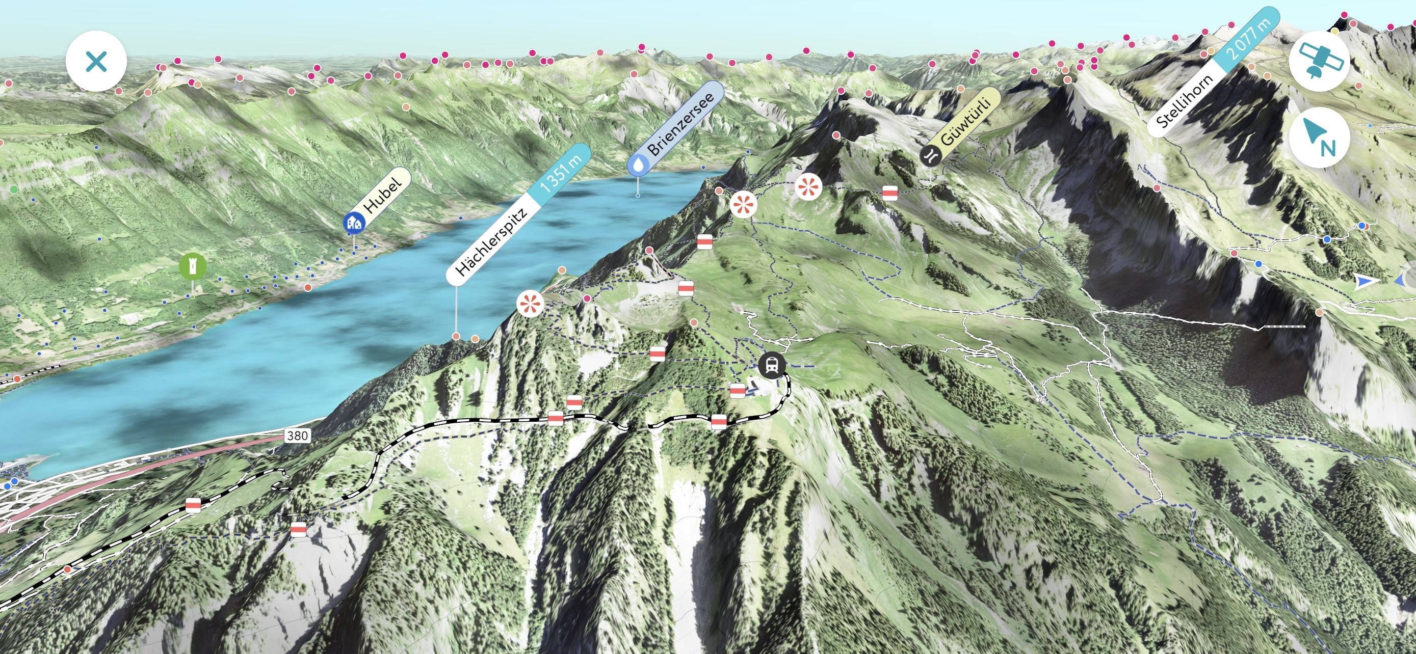
PeakVisor 4.0 is here
25 November 2021
The 5th anniversary version of PeakVisor features a brand new graphics engine that’s capable of rendering satellite imagery of unmatched quality. You can easily identify everything from cars to trees while exploring an area in 3D for your next adventure.
Read more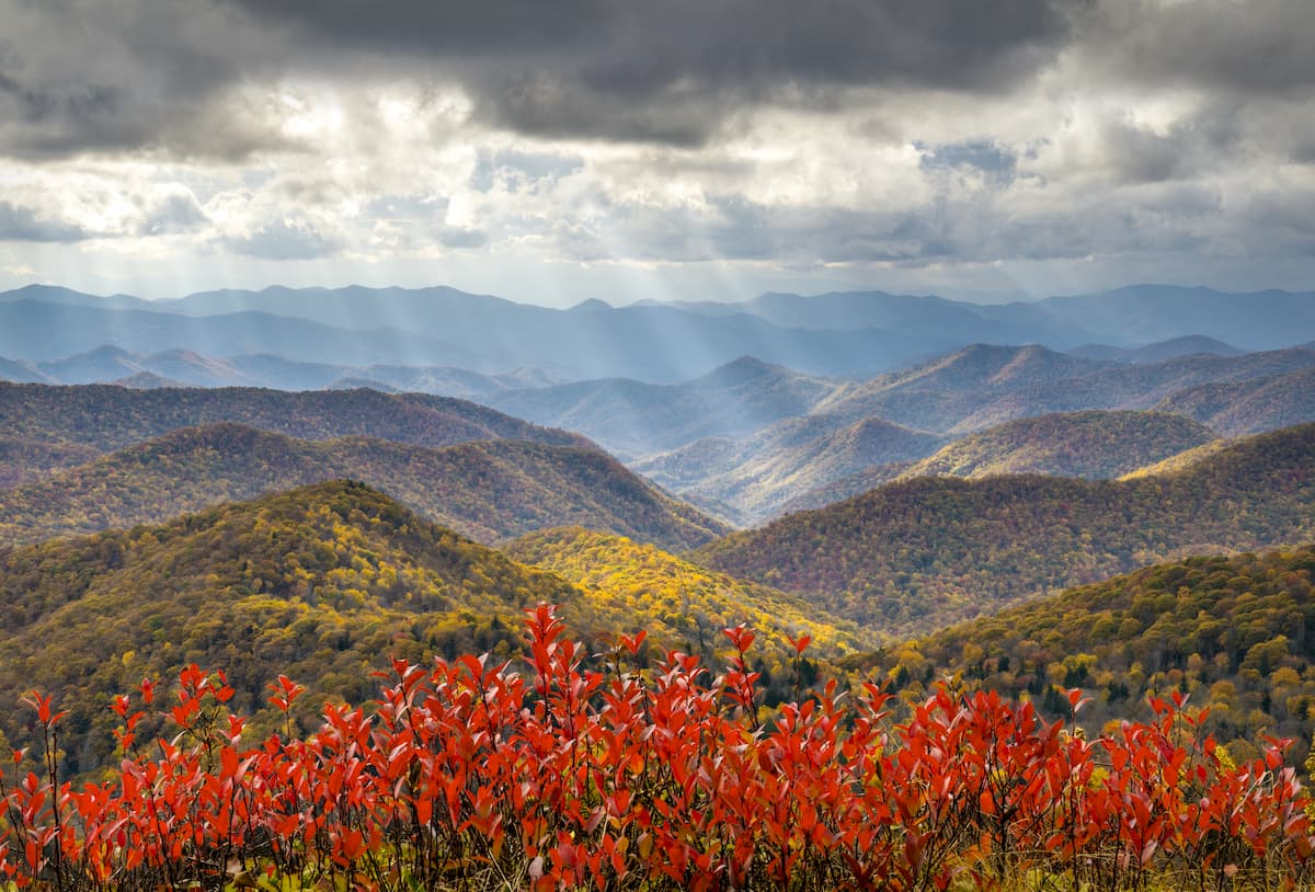
The National Park Service Turns 105!
21 July 2021
The US National Parks are home to some of the most stunning landscapes in the United States. From the craggy peaks of Denali to the lush swamps of Everglades, there’s plenty to enjoy and discover on your adventures to the United States’ finest outdoor recreation sites.
Read more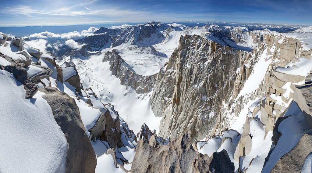
National Summit Day
21 July 2021
Never heard of National Summit Day before? No problem! The day is a time to celebrate mountain peaks and all who venture outside to climb them. It takes place on the first Saturday of every August, so it’s the perfect time to get outside and enjoy the wonderful mountains that make our planet so special.
Read more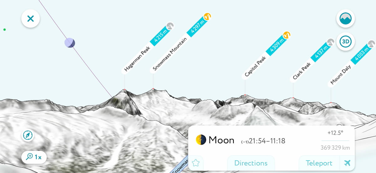
Moon Photography Planning
04 January 2021
In Photography, when and where are usually more important than how. Being in the right place at the right time is crucial for a perfect shot. A celestial body in the photo might completely change the pic or be the ultimate light touch to the composition. When it gets to predicting the varying phase of the Moon orbiting around the Earth orbiting around the Sun, planning becomes especially sophisticated.
Read more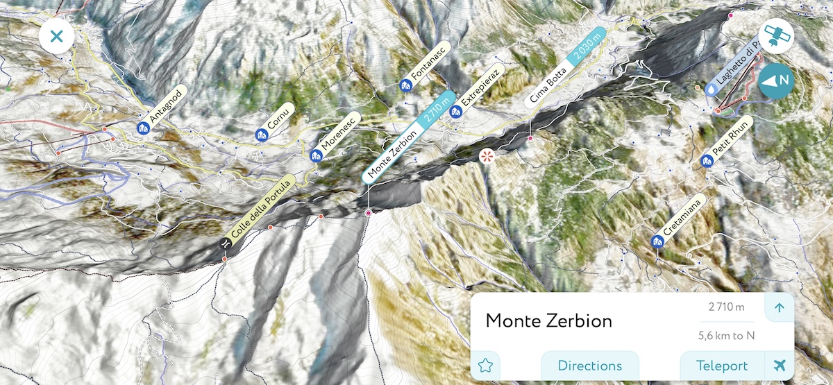
Mountain Fly-over Videos
21 December 2020
Fly-over videos are a great way to visualize a hiking trail be it planned or already completed. It also helps to better understand the topography of a region.
Read more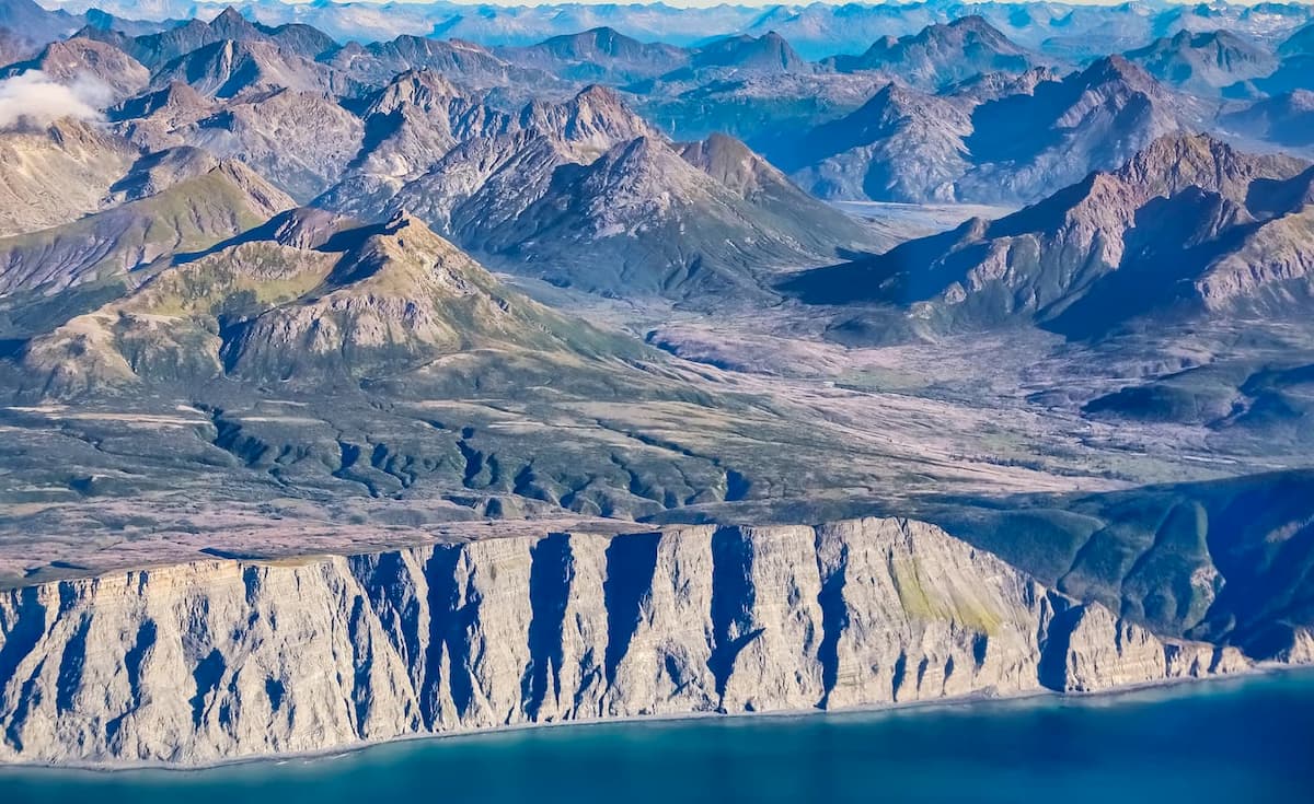
Unnamed Mountains
05 November 2020
It is the first of its kind digital Earth survey enumerating all unnamed mountains. We make the global audience aware of the number of unnamed mountains in the world, peak naming opportunities, and very prominent yet almost unknown summits.
Read more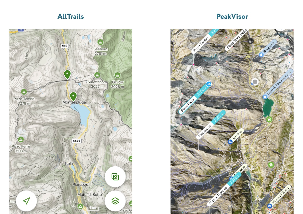
AllTrails alternative
12 October 2020
AllTrails is a popular platform where people from all over the world publish trails with their own description of hiking itineraries. While it might be a good source of inspiration for a next hike, blindly following the steps of someone you don’t know seems a bit reckless. That hiker’s skill level, knowledge of the locality, personal preferences, and the such are most likely to be totally different from yours.
Read more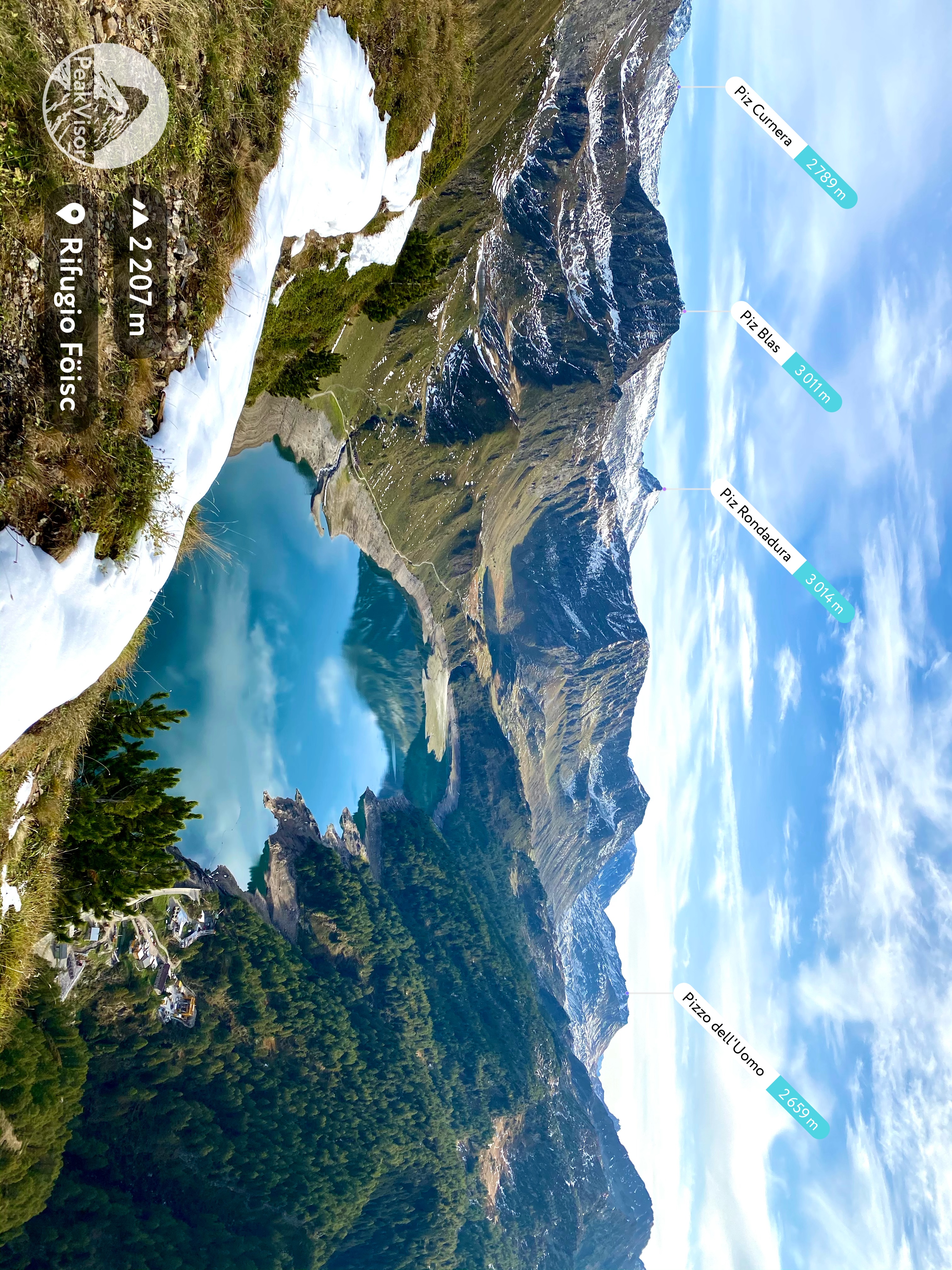
Mountain Wallpapers for iPhone
11 October 2020
We present a set of spectacular mountain landscapes particularly suited for being a scenic wallpaper and for keeping your app icons in a nice order.
Read more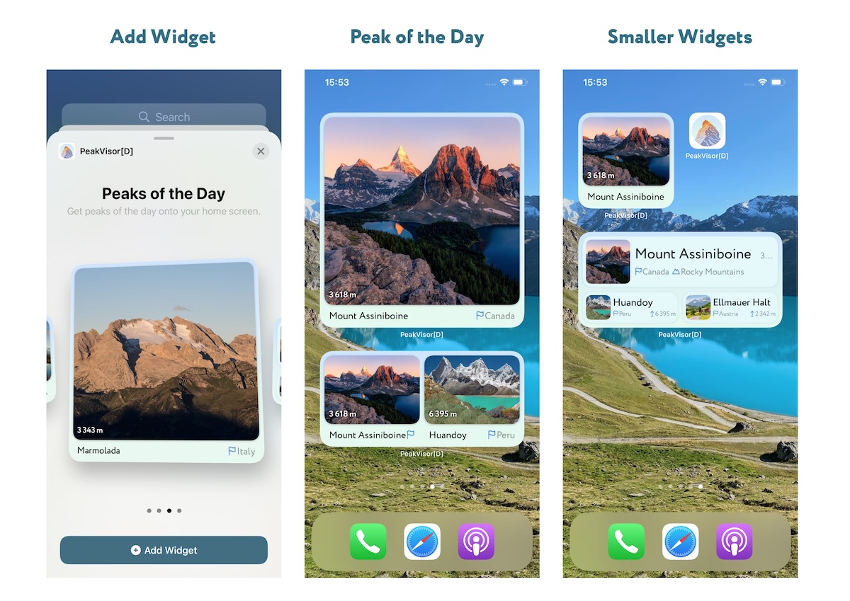
Mountain Widget for iPhone
04 October 2020
Widgets are one of the most fascinating features of the new iOS 14 introduced by Apple in 2020. PeakVisor presents a mountain widget! Peak of the Day.
Read more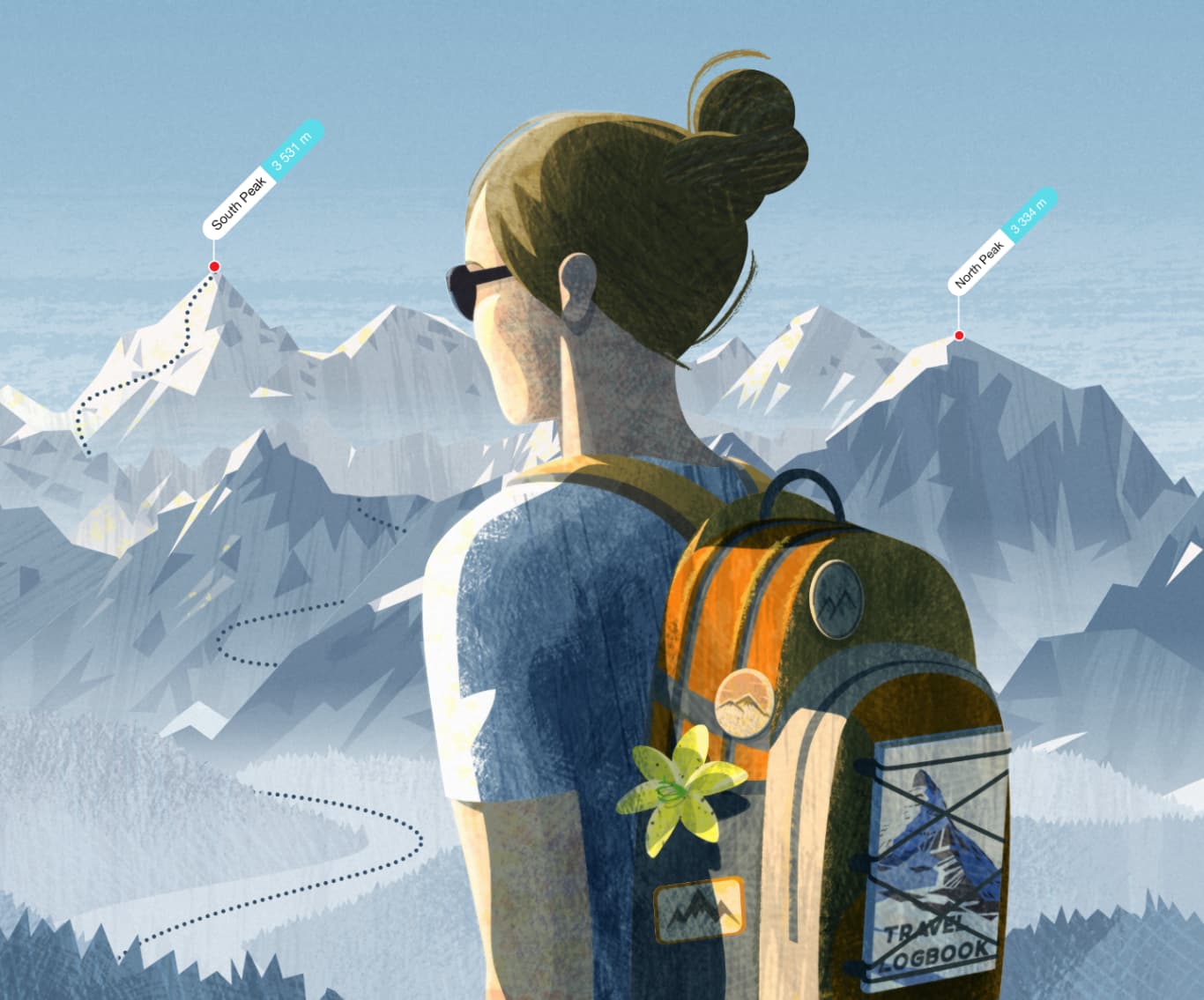
Travel Logbook
15 September 2020
What is outdoor experience for you? We bet most answers would be to plan thoroughly and then just do it. Simple as that, you prepare for every hike or climb, you study the itinerary and you get that overwhelming feeling of completing a tough job. Yet, how about one more nonetheless important stage? We take it for granted, but keeping the precious memories of our achievements and failures is also essential. Most people keep those memorabilia just stashed in the phones as a bunch of unsorted photos. But that’s hardly a good approach.
Read more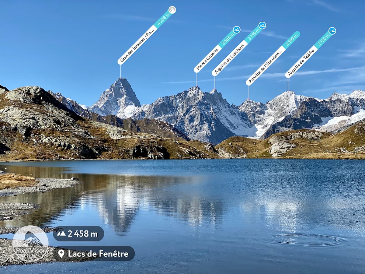
Trailhead Finder
04 August 2020
What can be more crucial for the success of your outdoor adventures than finding a convenient trailhead? Oftentimes, a mistakenly chosen trailhead or being forced to use another parking lot at the last minute causes us huge problems. In order to fight these inconveniences and further enrich the hiking experience of the PeakVisor users, we introduce the “Trailhead Finder” feature. Now, for every mountain, lake, viewpoint we will show nearby parking lots and cable car stations so that nothing can spoil your trip.
Read more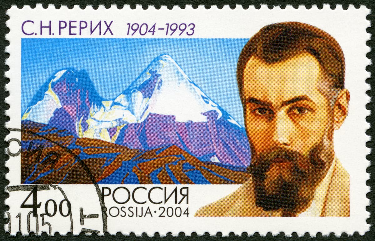
Nicholas Roerich, The Master of the Sacred Mountains
23 July 2020
Rarely can you meet a person of such astounding faith, resilience and visionary mindset as Nicholas Roerich (the full name is Nikolay Konstantinovich Roerich). You’ve surely seen his Banner of Peace - the symbol of protection of Culture.
Read more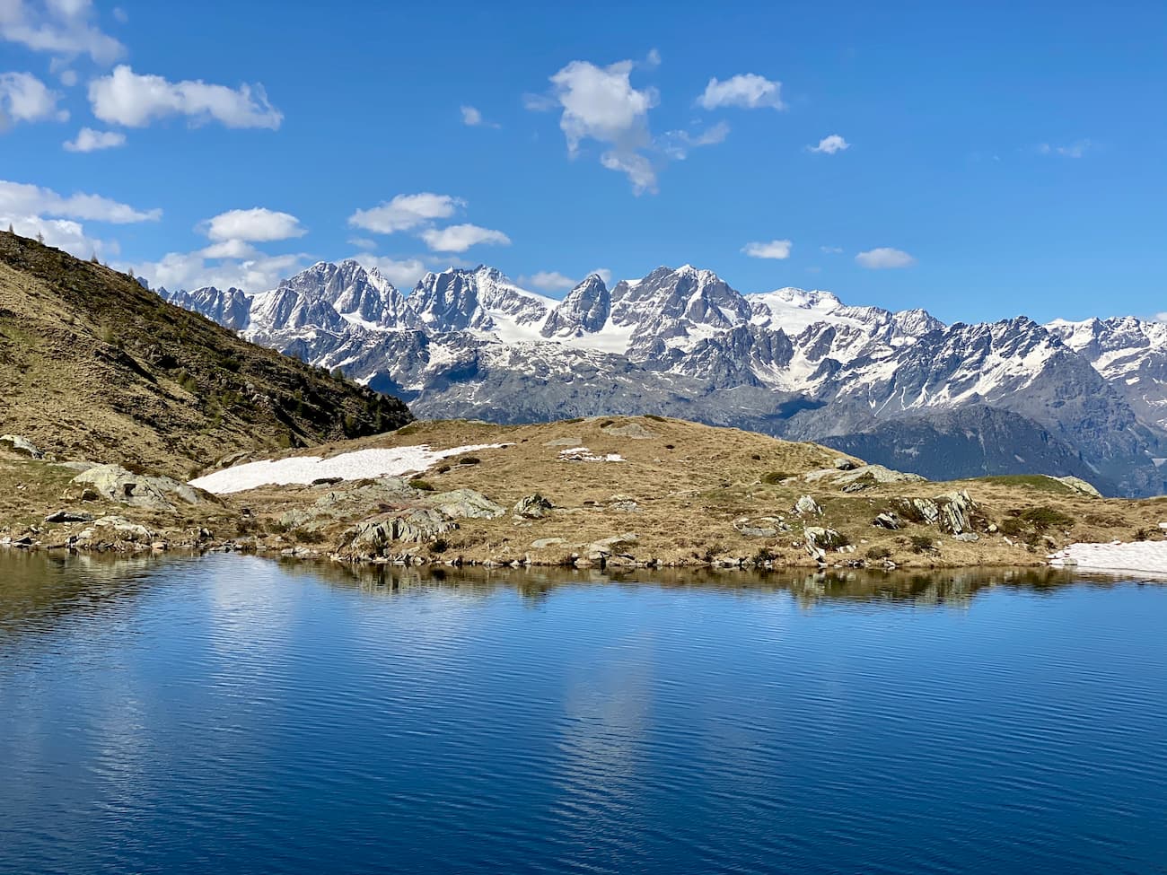
Mountains near me
29 May 2020
Wake up, no makeup, it is early morn and feels like hiking? What are the mountains near? Which mountains are close enough to hike? With a staggering number of over a million mountains across the globe, the PeakVisor app is best positioned to answer your question!
Read more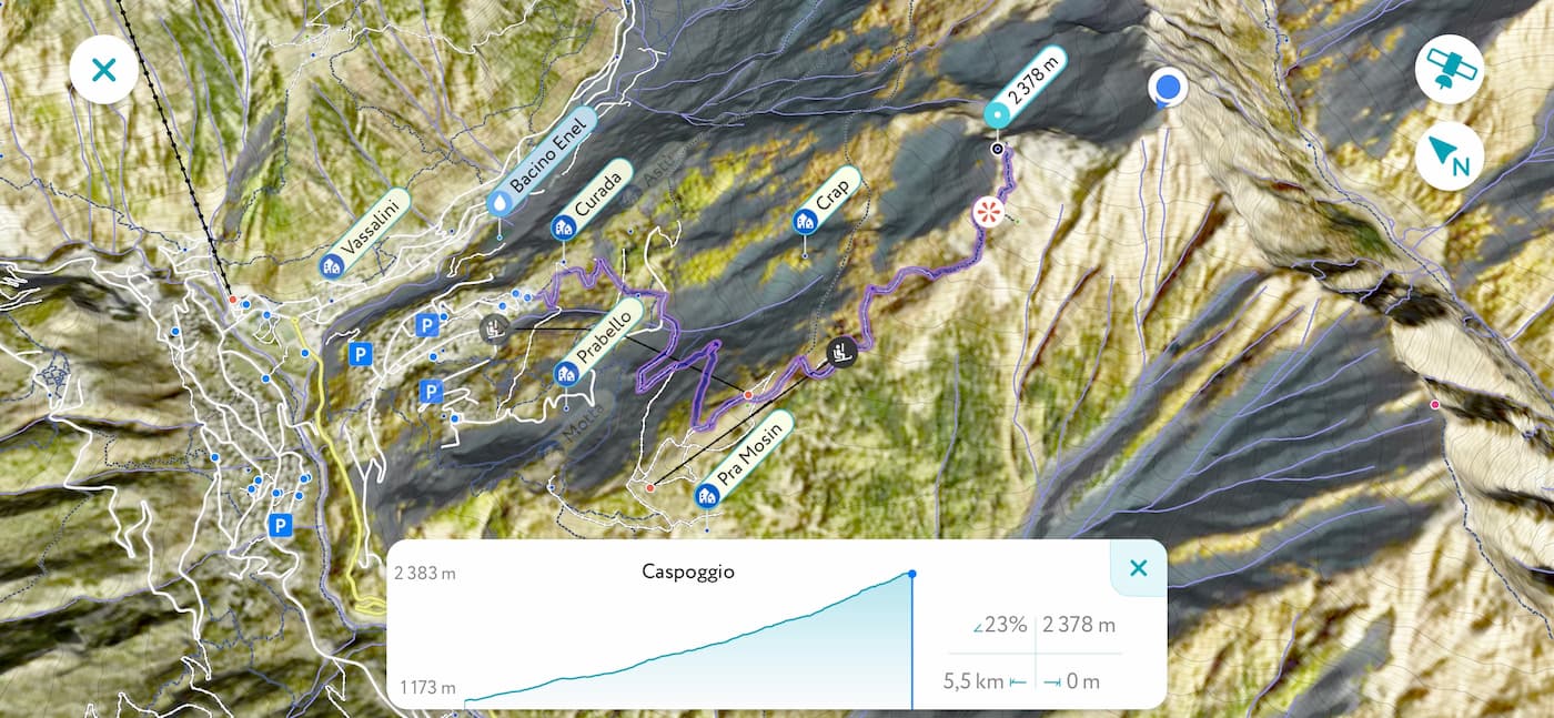
GPS Tracking
28 May 2020
GPS Tracking is the most recent addition to the PeakVisor toolkit. This feature allows you to track hikes while measuring duration, distance, pace, and elevation gain along the way. Once you’ve conquered the desired destination, you can share and explore any of your tracks in 3D maps.
Read more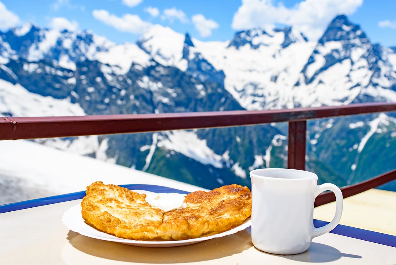
Mountians & Desserts
14 May 2020
Climbing mountains is one of the most challenging but utterly rewarding sports activities. Many hikers and climbers cannot resist the temptation to refresh after a long way up to the mountain, what can be better than cooling off in a nice lounge of a mountain hut and trying incredibly tasty local food. Those blessed with the sweet tooth can find unique desserts offered by mountain huts at the high altitude or in the cafe and pastry shops at nearby parking.
Read more
Lakes and Mountain Passes
19 April 2020
Contrary to popular belief, mountain tops are not the final destination point for all trips. Quite the opposite, most of the super scenic views are waiting for us by small mountain lakes and at mountain passes. Seen from afar, majestic peaks are presented in all their splendour, gorgeousness and beauty which is often reflected in mirror-like waters of the small perfectly still lakes. As much as I love conquering the peaks for an unobstructed 360 panorama, I still adore finding tranquil landscapes capturing the essence of alpine beauty.
Read more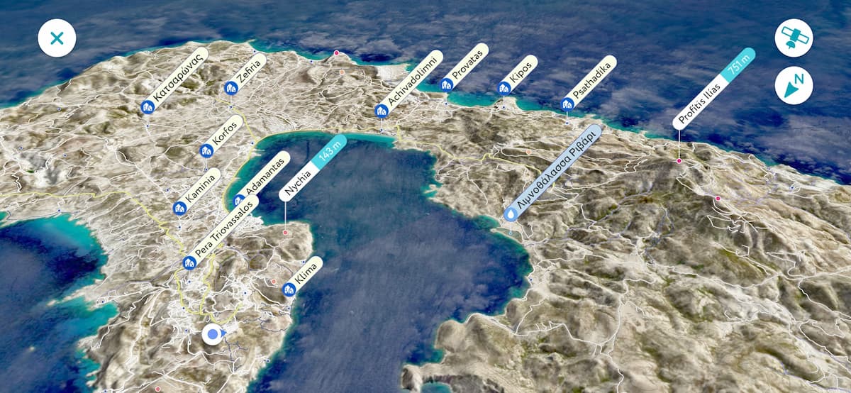
Hiking Wishlist and Custom Waypoints
17 April 2020
No matter how detailed the map is chances are that in order to reflect all the aspects of outdoor adventure some tweaks are needed anyway. One of the most requested features was to add custom locations into the 3D map and highlight particularly important features. Those might be landing options for hang gliders, planned camping sites for backpackers, important reference points for trekkers, or spectacular photo spots for photographers. Everyone needs a personalized map of the outdoor places we love. Now you have it!
Read more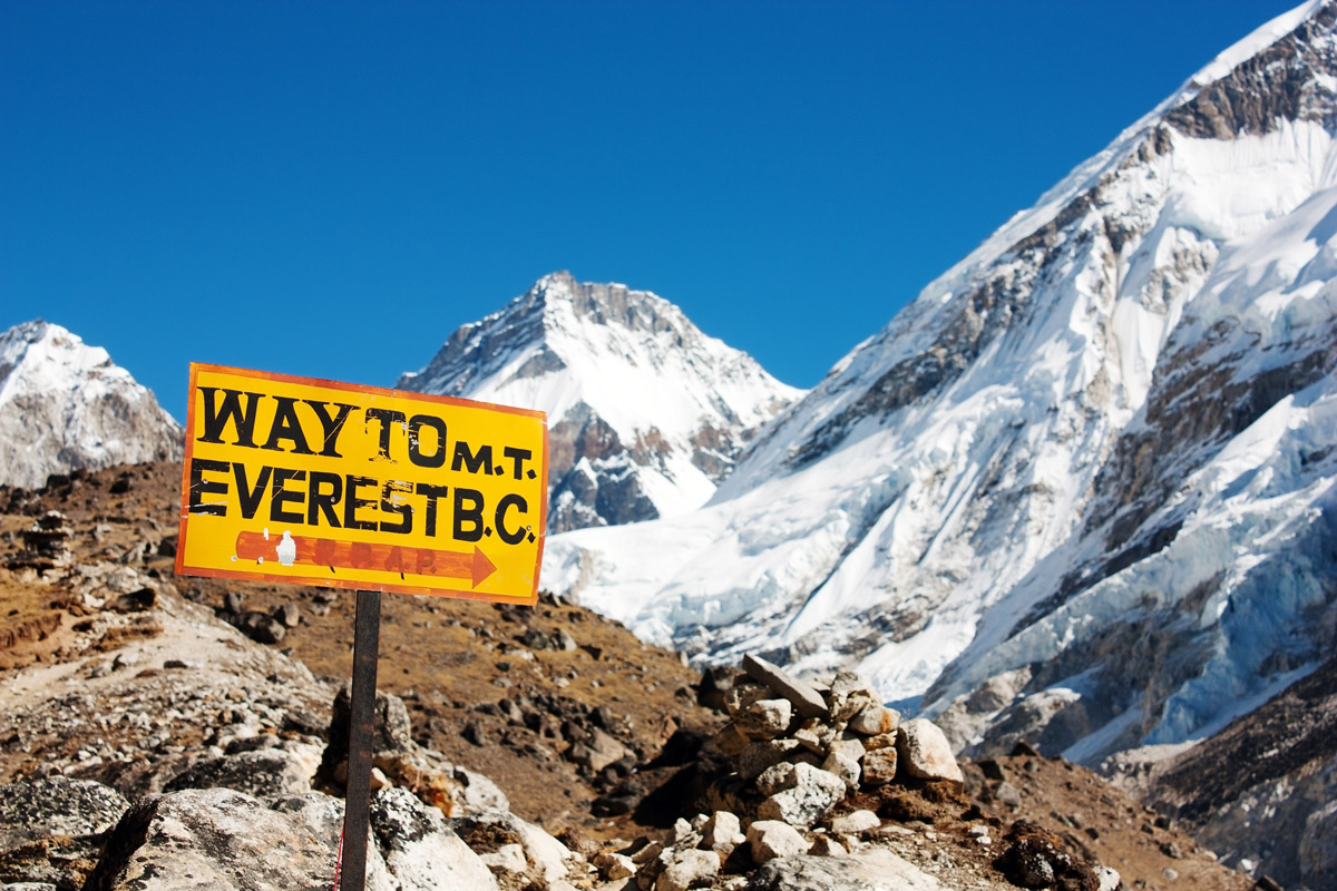
Everest Base Camp Trek
02 February 2020
Everest Base Camp trek is an epic adventure of a lifetime at the foot of the world’s highest mountain through the scenic Sagarmatha National Park in Nepal. The trek requires proper planning and strict adherence to the rules of high-altitude trekking in order not to finish it earlier than expected and not to end up lying there in permafrost forever.
Read more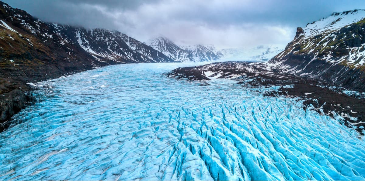
Glaciers
22 January 2020
A glacier is a huge mass of ice formed as a result of eons of snow accumulation. Snow gets transformed into ice under pressure or by melting and refreezing. Such processes form powerful flows, domes, and floating slabs.
Read more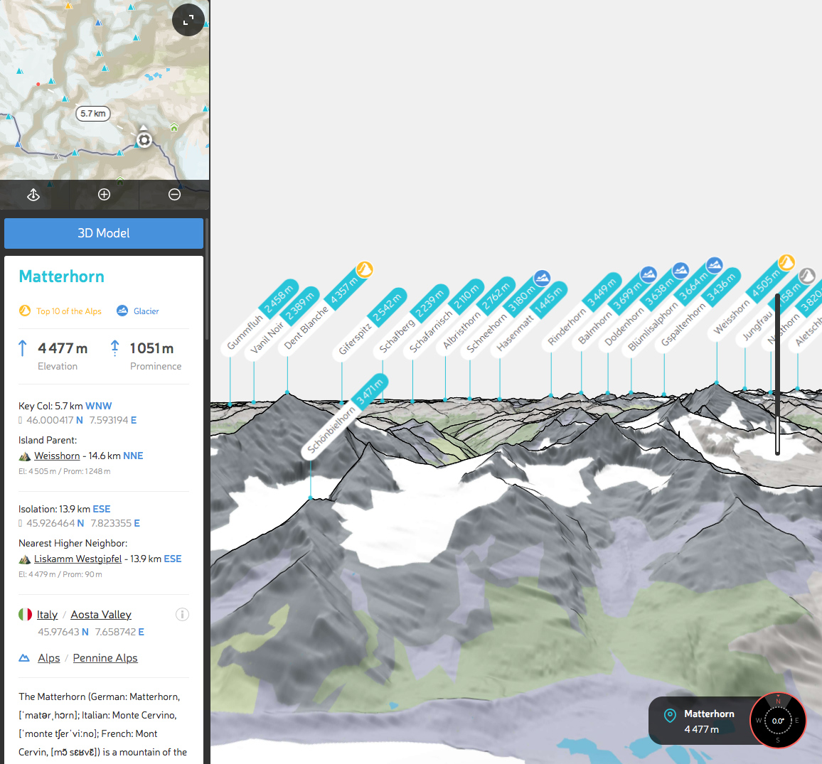
Detailed Prominence Analysis
22 December 2019
Topographic prominence is one of the most important measures for a mountain (or a hill). Only the elevation might challenge its importance. That’s why for any peak in the world we carefully calculate prominence and present it everywhere next to the elevation.
Read more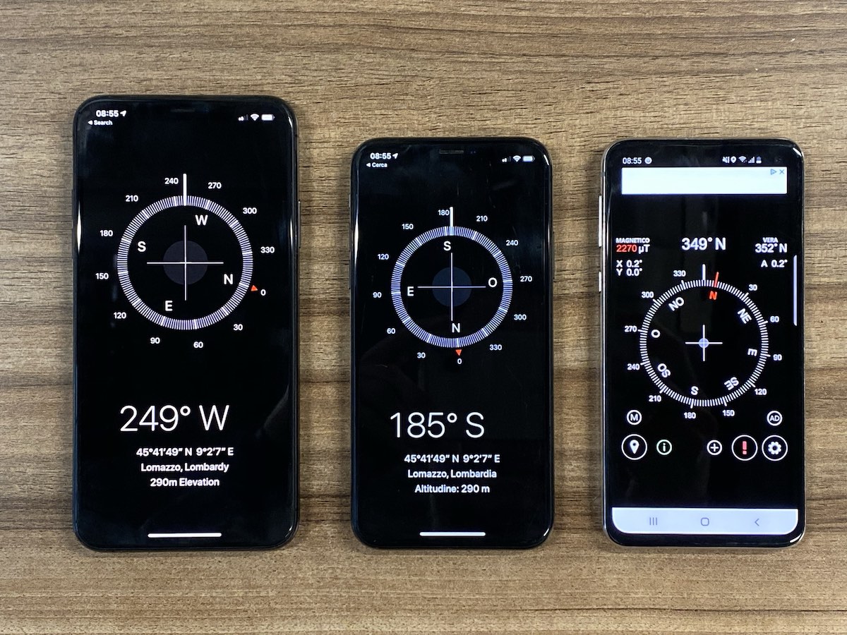
Most Precise Compass
21 December 2019
Since ancient times people have been identifying their location and direction by some landmarks supplemented with the observation of the position of celestial bodies. The very first compass was invented in China more than 2000 years ago. Interestingly, it wasn’t used for navigation back then, but to harmonize dwellings according to feng shui principles. Nowadays, almost every mobile phone has a compass that lets you easily identify the direction in an instant. But how precise it is?
Read more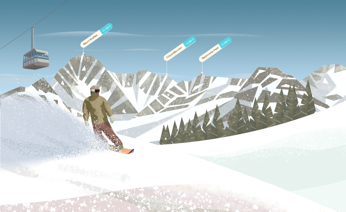
Ski Resorts
18 December 2019
There are hundreds and even thousands of ski resorts all over the world. Big and small, vintage and high-tech, they serve millions of winter sports enthusiasts every year. This winter we provide ski resorts schedule and status in real time for most of the places in the USA, Canada, Europe, and even Russia. Not only can you identify all snow-capped peaks around you but also find a personal tourist office for every ski resort.
Read more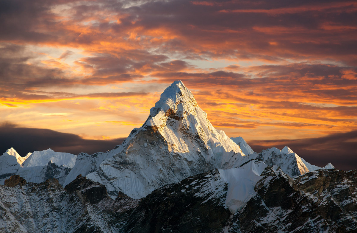
Mountain Day
11 December 2019
December 11 is the International Mountain Day. It was designed to call for worldwide attention to the importance of mountain ecosystems all over the world. Living in megapolises far from massive towering peaks it is easy to forget how vital the mountains are in our life.
Read more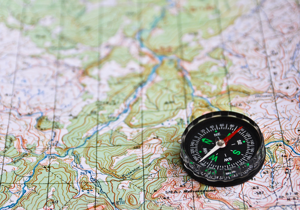
Topography Data Services
07 December 2019
PeakVisor mobile app and the website require a wide range of topography data to work and satisfy all the needs of outdoors enthusiasts. We spent an enormous amount of time crafting 3D Maps and Augmented Reality Peaks Identification on mobile phones with their limited resources. But even more time is dedicated to processing the heaps of data from various sources. Our data pipeline contains terabytes of Digital Elevation Models (DEMs), millions of geographic points (including more than a million named peaks), worldwide satellite imagery for 3D maps, and a great many processing steps.
Read more
Bringing the Lost Knowledge Back
06 December 2019
The first maps appeared many thousands of years ago. Since times immemorial, humans have been trying to convey the sense of a large space and improve navigation capabilities. Major topographic features like mountains, rivers, water bodies, and settlements, played a key role in map-making from the very beginning. That is why we are blessed with the abundance of ancient information about peaks and mountains that came unscathed through times.
Read more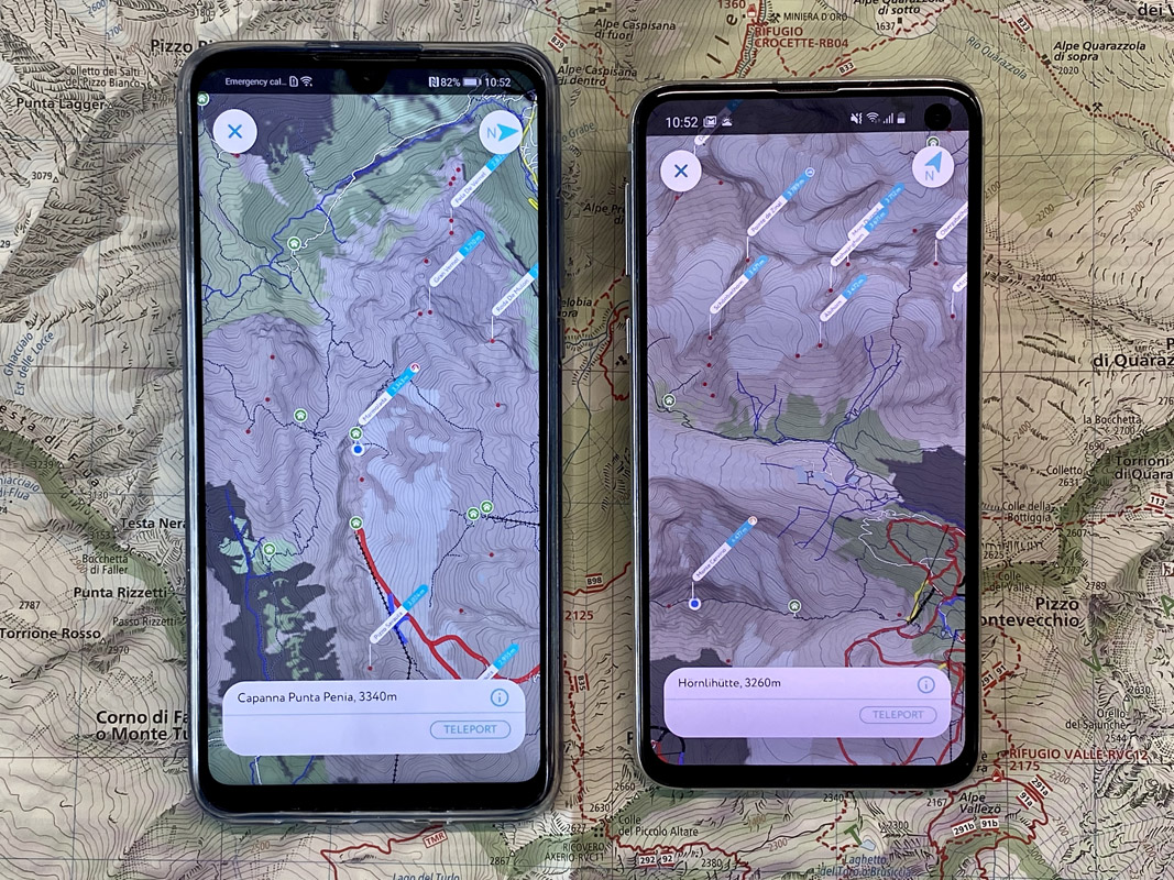
3D Maps for Android
05 December 2019
Topographic maps for hiking and skiing in the mountains have to be 3D. Realistic terrain modelling allows faster and easier understanding of the landscape, its complexities and pitfalls for a wider range of outdoor enthusiasts. We are proud to present PeakVisor 3D maps available on the world's most popular mobile platform!
Read more
Mountains and Money: Europe and America
25 June 2019
Asia might have more mountains on its banknotes, but all the rest of the world also has some intricate offers. Even though the highest mountain of the European continent has failed to make it to any national currency tokens, its counterparts in South America and Africa made up for it. Here is the list of mountains, tall and not very tall, which you can see on the money now or might have seen 20-30 years back.
Read more
Mountains & Money: Asia Edition
17 June 2019
Majestic and oftentimes brutally deadly, mountains have made their way not only into many countries’ lore and hearts of people, but also on such a mundane thing as money. One would assume if a country has a mountain, it certainly should appear on the banknotes. Well, you’d better not jump to conclusions too fast. What if you wish to have a mountain, but it is simply not yours, yet the wishful thinking makes you place it not on one, but on several banknotes. Alternatively, what if you have several important peaks, which one to choose: the most politically correct, the most important for religion or just the most beautiful? Finally, what if your mountains are small, yet so charming you even confuse the scientific names of endemic fauna living on them or forget to put some part of the country on the map featured on a banknote?
Read more
Mountains & Flags
07 June 2019
If you are asked a question about what country has a flag with a mountain, what would be your first association? Nepal maybe? After all, this is the country that hosts 8 of the 14 eight-thousanders – the tallest world mountains – Everest, Manaslu, Lhotse, Makalu, Anapurnas (I & II) etc. and 70 peaks ranging from 5, 537m (Gokyo Ri) to 7,952 m (Gyuachung Kang). All those big killers are concentrated in the part of the Himalayas belonging to Nepal.
Read more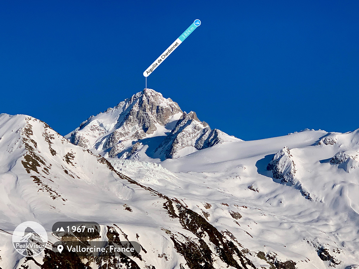
PeakVisor App is Free
03 June 2019
Effective today the PeakVisor app becomes free. No need to spend a lot of time researching whether the app is a good fit for your outdoor adventures. Everyone can download the app and try it without paying anything.
Read more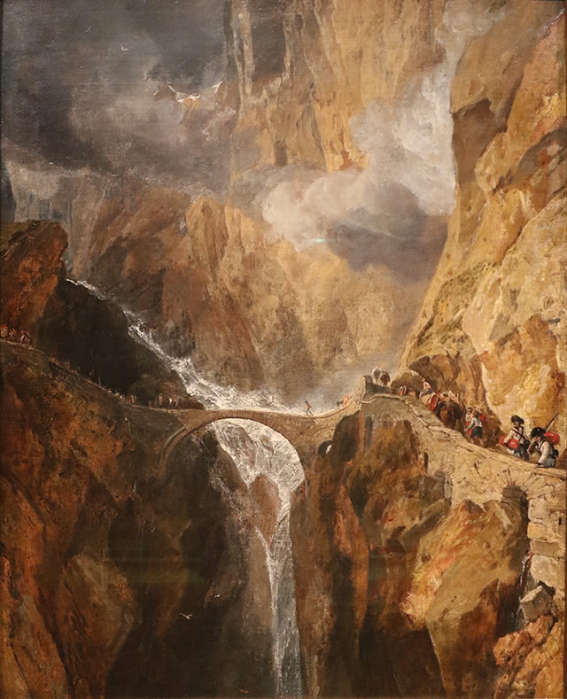
Mountains & Wars
20 May 2019
Mountains have always played an important role in human history. They represent not only a portion of our environment, but they are also deeply rooted in our imagination; we have given them a symbolic meaning, we have made them objects of worship and art. Working as a natural border, mountains have been considered strategic points as well as bones of discontent for many countries.
Read more
Satellite 3D Maps
12 April 2019
Realism and convenience, that is what people are looking for in 3D maps. Hence, creating a larger-than-life and most user-friendly representation of 3D maps has been paramount for PeakVisor since the first time we added maps into the mix. The initial rough version of 3D maps was soon improved by adding the terrain types, which allows distinguishing bare rock slopes from forests, grass, residential, and many other land cover types. Even though it was a big step forward, it wasn’t enough. Today, we introduce a Satellite layer in 3D maps.
Read more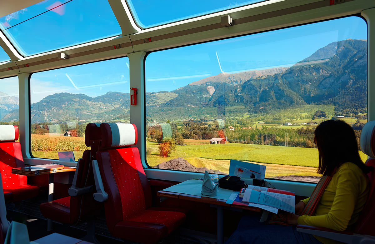
Scenic drives, trains, and flights
11 April 2019
The ability to immediately and deeply understand the territory around us has always driven our inspiration in making PeakVisor a magic tool for mountain adventures. What could be better than quickly identifying a mountain and having a Wikipedia article knowledge at your fingertips, or seeing a centuries-old castle and being able to immediately tap into its history? That’s what PeakVisor is about!
Read more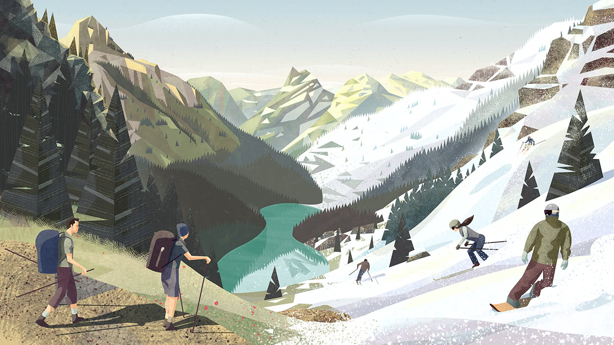
Appalachian Trail Thru-Hiking
23 January 2019
We talked to Rebecca about the Appalachian Trail, highs and lows along the two-thousand mile epic journey, and future plans. Read the interview with Rebecca Pressman.
Read more
Ski Runs and Mountain Lifts
08 January 2019
For a long while, PeakVisor has been a definitive tool to identify mountains and get detailed information about the peaks. The summer 2018 PeakVisor got state-of-the-art 3D maps with hiking trails and routing capabilities. Now, in winter 2019 when most of you are skiing we bring the Winter Mode into the app. Worldwide ski runs and mountain lifts are available to all PeakVisor users in Augmented Reality and 3D maps. No matter what your preferred way to spend time in the mountains is and what time of the year, you can always tap into the PeakVisor world of mountains to make your outdoor adventures more joyful and informative.
Read more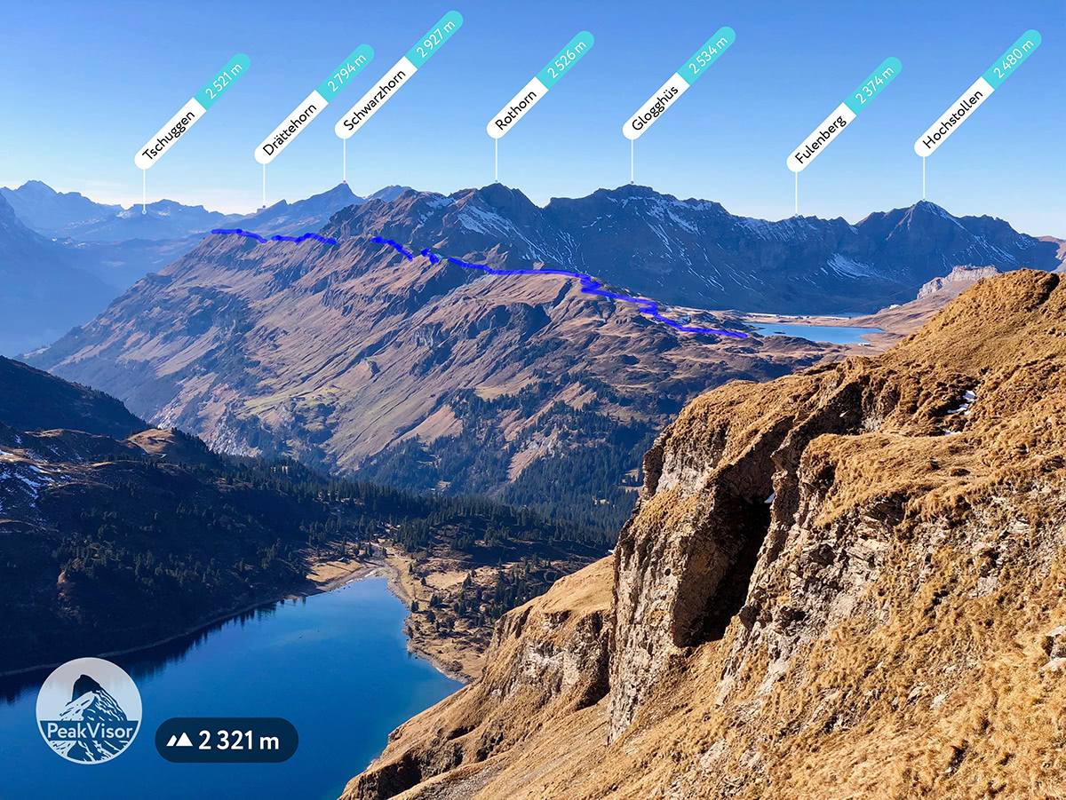
See the Trails
23 November 2018
Oftentimes standing on the edge of a cliff, a mountaintop, or a panoramic viewpoint you wonder of the endless hiking possibilities around. Wouldn’t it be nice to have a superpower to visualise a path blended into the epic landscape? It might be the trail you are going to undertake later or the one you just did. The new version of PeakVisor using the Augmented Reality shows hiking trails not only in the 3D map but in your camera view as well.
Read more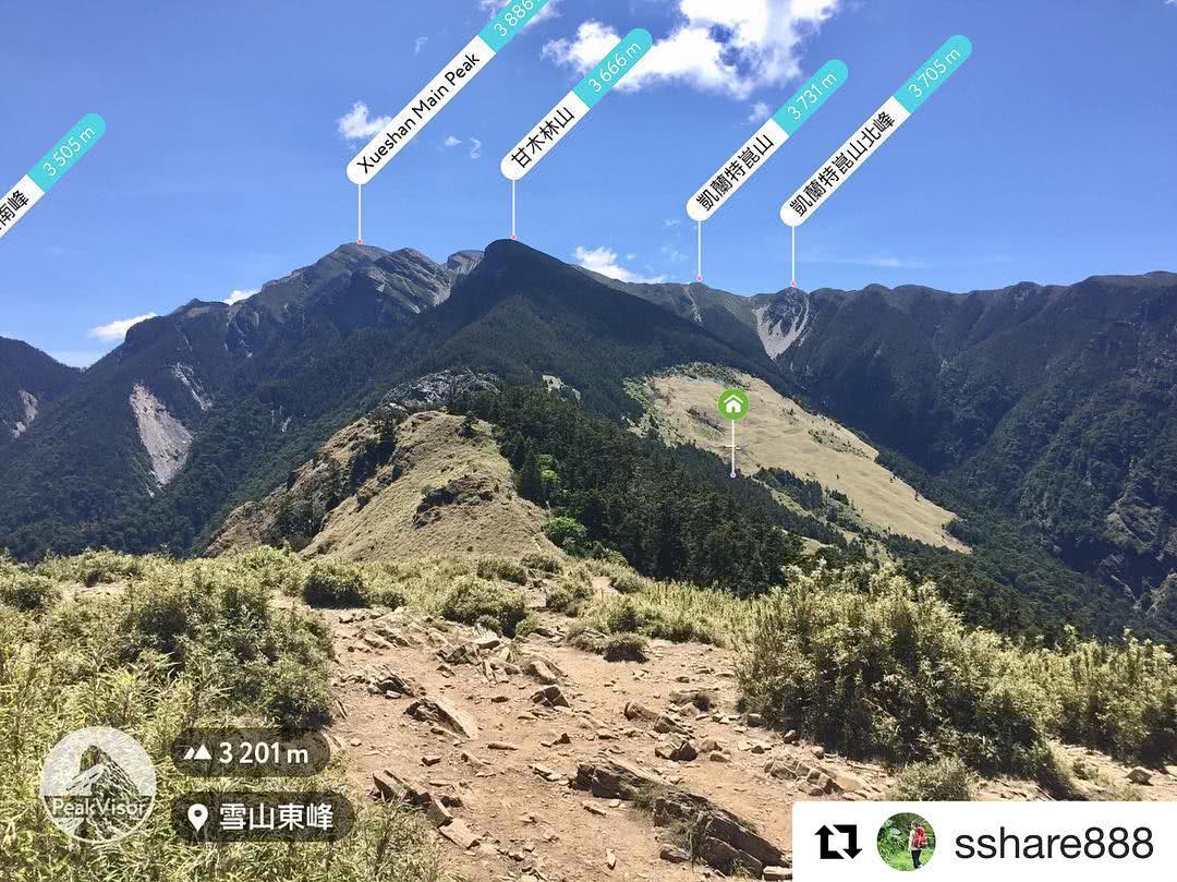
Unknown Characters in Mountain Names
22 November 2018
Outdoor enthusiasts all over the world love exploring new trails and mountain ranges. Mountain names in the Americas and Europe don’t pose any major questions for “westerners”. The biggest threat is to face some diacritics (e.g. in German, Italian, Spanish, French, etc.) which usually can be ignored without any consequences. Greek peaks might bring some challenges for those who didn’t study physics in high school or missed the lessons (those peaks often remind a formula, e.g. Mount Olympus in Greek is Όλυμπος). But that’s nothing compared to troubles of reading peak names in China, Taiwan, and Japan!
Read more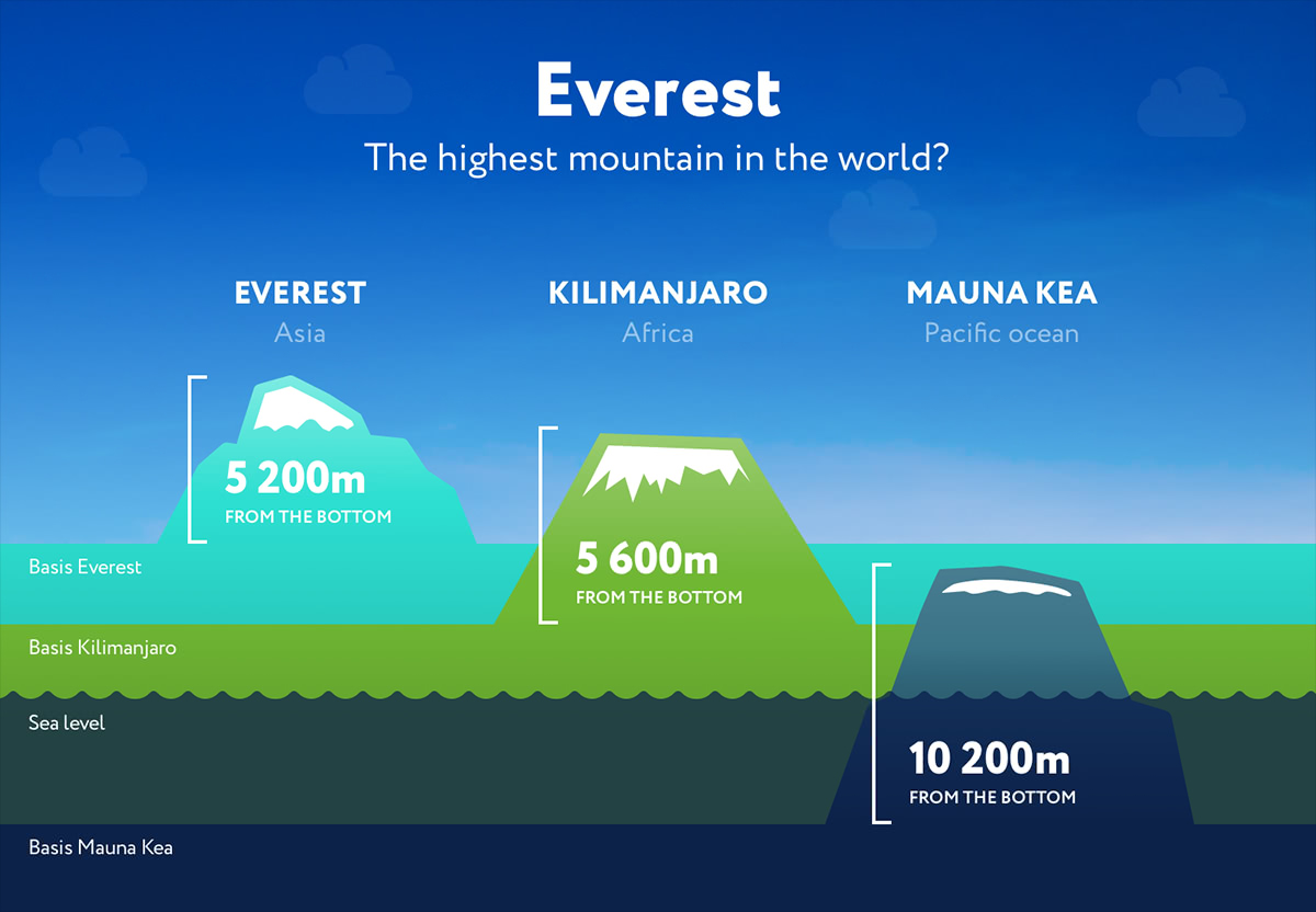
What is the highest mountain in the world?
15 November 2018
What is the highest mountain in the world? It looks like an evident pageant contest question. Don’t jump at your conclusions, your geography teacher might have not told you the whole truth. We’ve stumbled at some baffling pictures on the Internet and decided to look into the matter.
Read more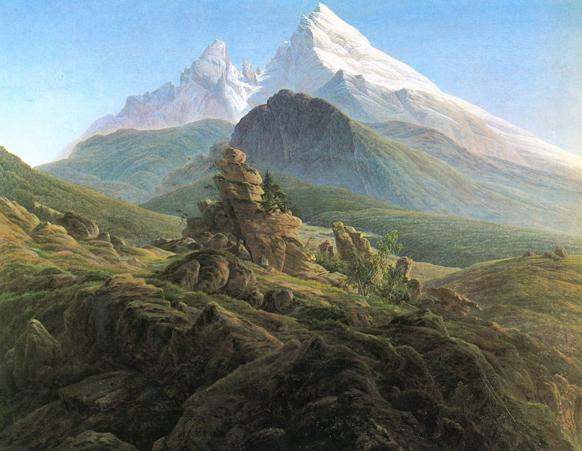
Art in the Mountains
12 October 2018
Drama rules the Art, and mountains provide an ample source of that drama. In a glaring daylight or in a deceptively serene moonlight, the same peaks and valleys come up with an ingenious variety of landscapes. We don’t mean to undermine the beauty of other natural terrains, but still believe that the mountains have always been a powerful driver for prolific artists, artisans and writers who captured the ethereal beauty of the cliffs, rocks, gorges, peaks, abysses, lakes and valleys in various mountain ranges.
Read more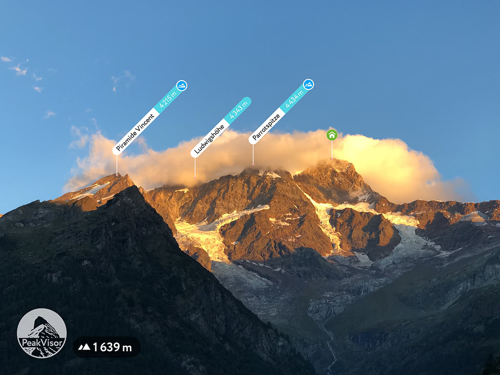
The Most Precise Mountains
01 October 2018
Smartphones, especially the most recent models, land extreme computing powers into our hands (and pockets). Yet, if we want to exploit it to full capacity, we need to raise the standard for data precision significantly.
Read more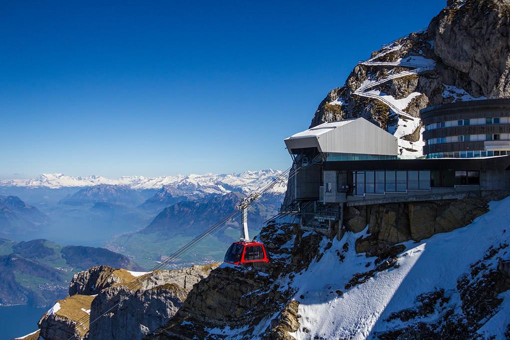
World Mountain Lifts
24 September 2018
Every time being in the mountains, we are thinking about how to enhance our outdoor experience, which data can help us have even better time. The information about available mountain lifts to help outdoor enthusiasts get away from mobile network coverage and get even deeper into an amazing world of nature beauty is one of the options.
Read more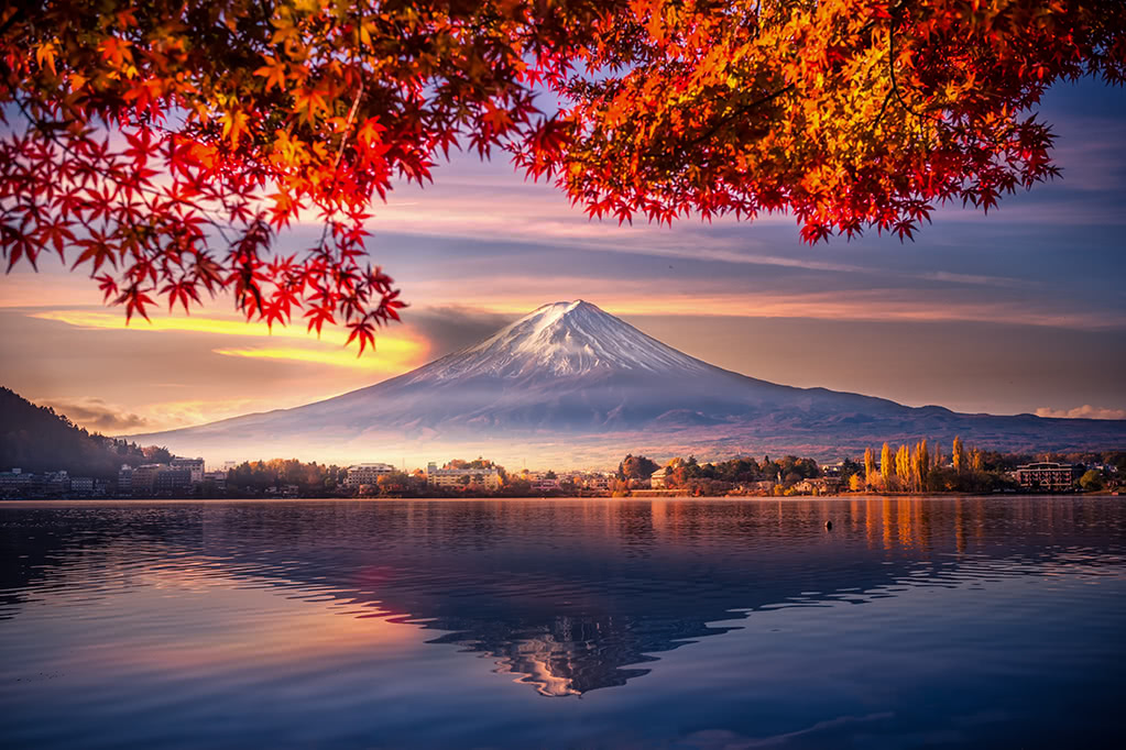
Japanese Mountains
07 September 2018
Home to the world famous spectacular Mount Fuji and more than 8,000 other mountains, Japan is a special treat for any outdoor enthusiast. A warm subtropical climate allows extended hiking period, the oriental charm amplifies epic scenery leaving unparalleled imprint in your memories.
Read more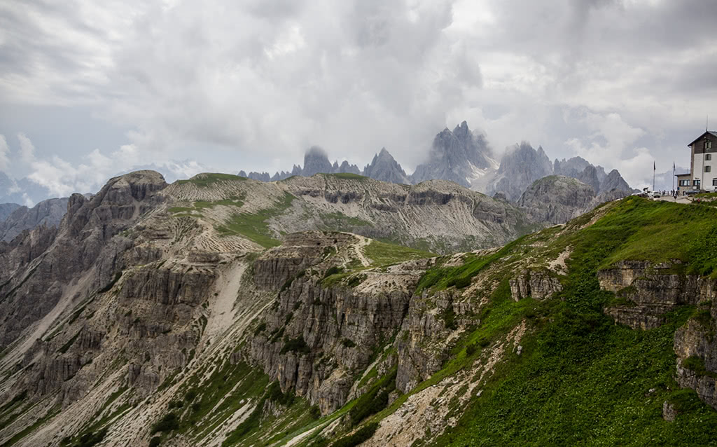
Viewpoints and Parkings in 3D Map
27 August 2018
The latest version of PeakVisor for iOS features parking areas and viewpoints. These two types of map features are exceptionally important for planning and navigation.
Read more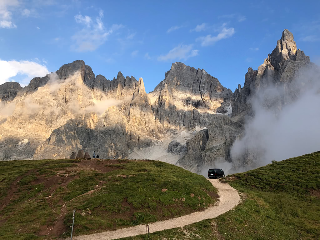
Hike Planning
23 August 2018
In this article, we will go through the PeakVisor’s features which allow you to do the most important things in hike planning.
Read more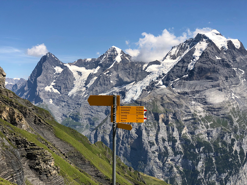
Hiking Route Planner
16 August 2018
These navigation and hiking route planning questions kept us very busy in the labs. But today we are proud to present availability of hiking route planning in PeakVisor 3D maps!
Read more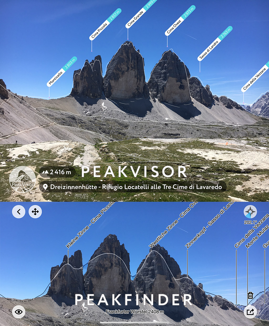
PeakFinder vs PeakVisor
26 July 2018
What are the major differences between PeakVisor and PeakFinder apps? We regularly get this question. Both products originated in the Alps, share the first 4 letters, and were designed to help orienteering in the mountains. In this article we will do our best to lay out the principal differences of the products, so you could have a solid reference before making a decision.
Read more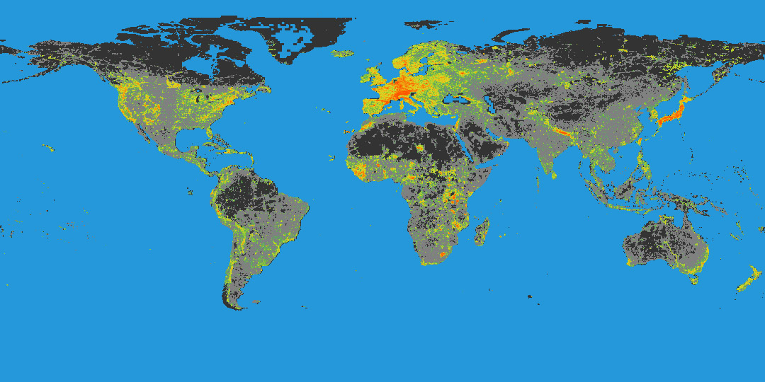
Density of Hiking Trails
25 July 2018
Being tech enthusiasts we love all things data. You might have read our analysis of how many mountains there are on Earth. Having recently added hiking trails in PeakVisor, we realized it was a matter of seconds until someone suggested to plot a chart of hiking trails density all over the world and understand where the densest hiking network is.
Read more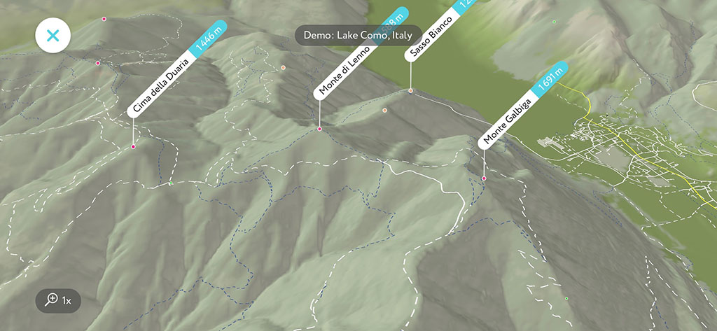
Hiking Trails
14 July 2018
“What’s the name of that mountain?” is probably the most popular question outdoors, but the very next question is “How could I get there?”. Here at PeakVisor we crave to answer all the questions an outdoor enthusiast might have. It is better to enjoy outdoors rather than spend too much time thinking about the answers, right? Here you go, the latest version of PeakVisor has all the hiking trails of the world!
Read more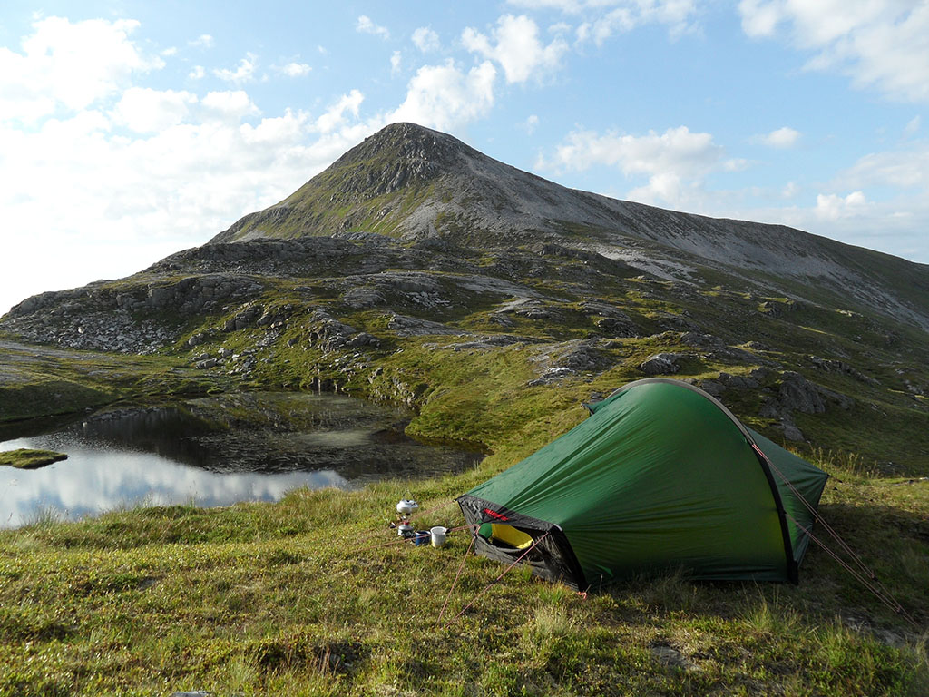
Peak Bagging Challenge
28 June 2018
Peak Bagging is an activity in which outdoor enthusiasts attempt to reach a collection of summits. These collections are usually published in the form of a list.
Read more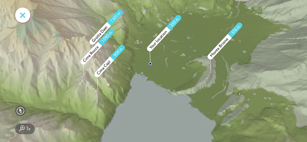
3D Maps are Getting Real
15 June 2018
This week we are rolling out a new label positioning algorithm. It allows us to embed labels into 3D maps! Now you could see not only your position in 3D but all the mountain names around you. That might be especially useful while approaching a summit. It’s always handy to see a target and have a bird-eye view.
Read more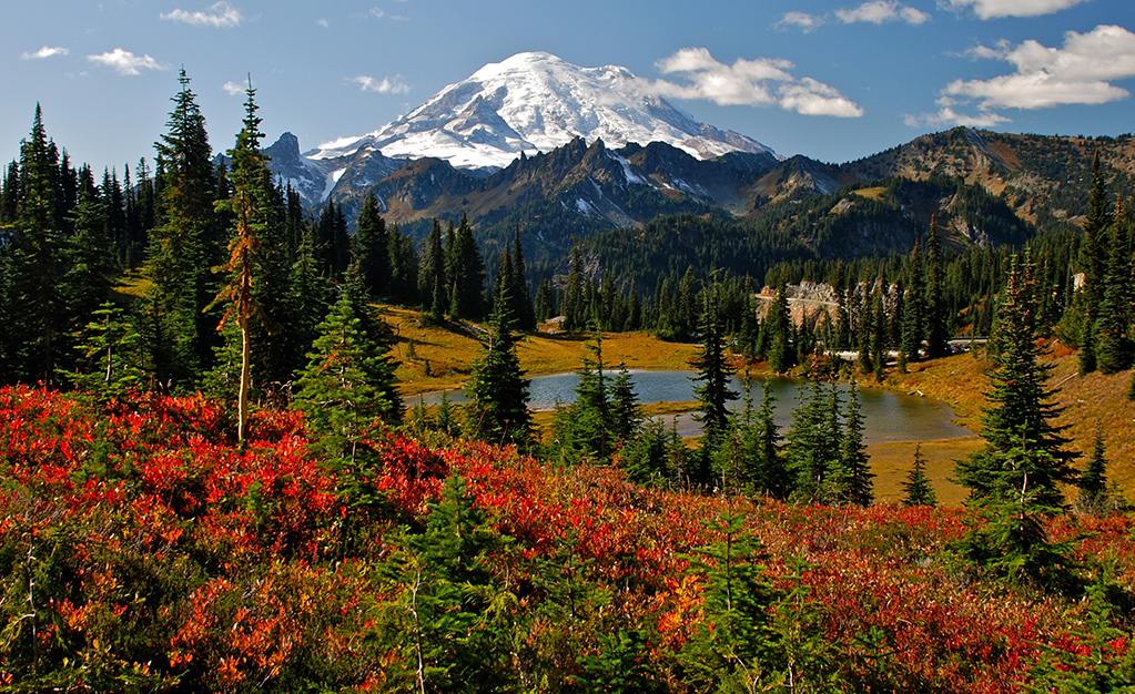
The US Fourteeners
07 June 2018
The most accurate list of fourteeners in the US as their prominences and elevations were meticulously calculated and triple checked by hand on high precision 1 arc second Digital Elevation Models. On this page you’ll find an interactive map and all the 14ers names with links to their pages grouped by states.
Read more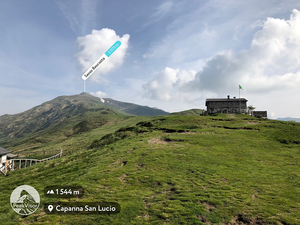
Administrative Boundaries in the Mountains
30 May 2018
Just like rivers, mountains are often natural boundaries between countries and administrative regions. In the mountains more often than not state borders go along mountain ridges and summits. All over the world you could notice centuries old border stones which were used for indicated a border, usually with a year inscribed. We find something especially thrilling walking the ridges and state borders at the same time. What could be more exciting than having your left leg in Switzerland and the right leg in Italy?!
Read more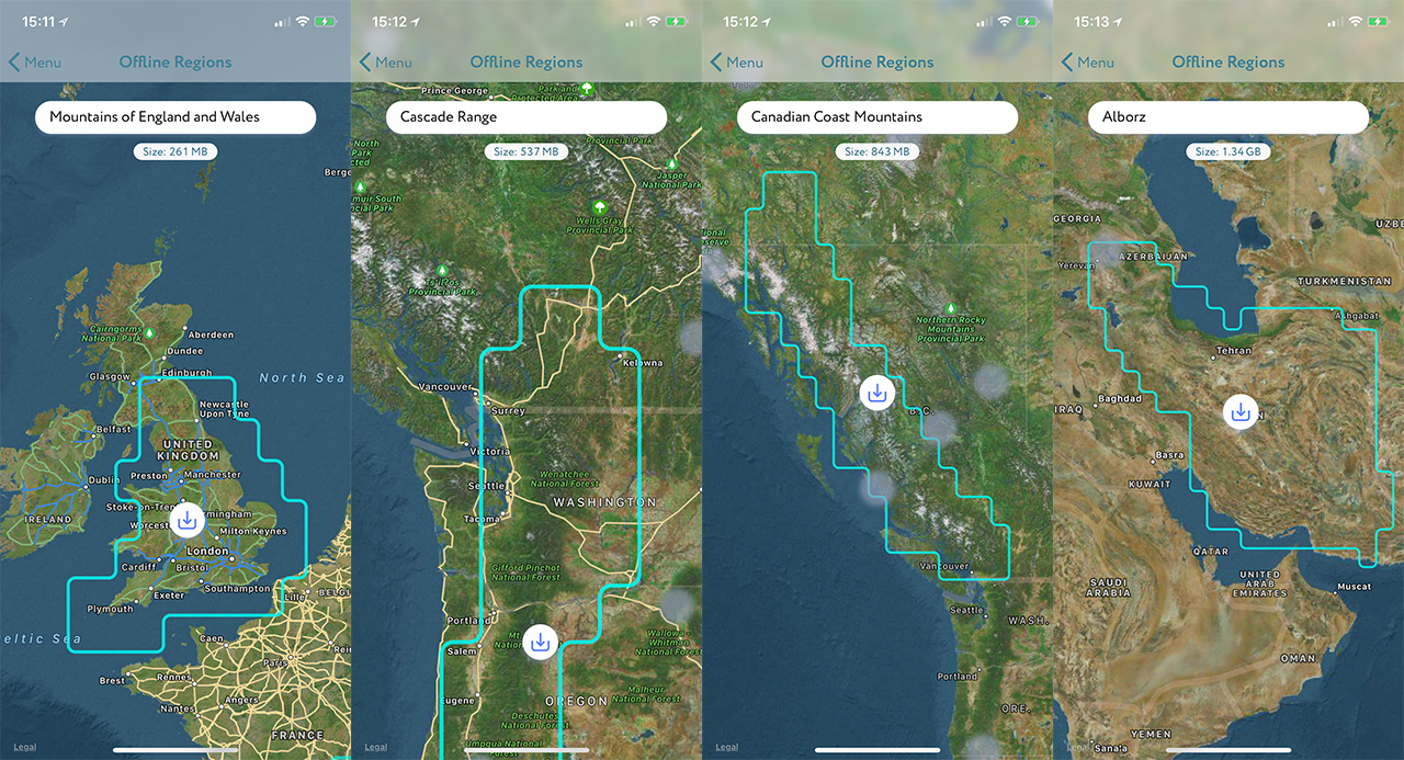
Manage Offline 3D Maps
28 May 2018
The farther we get from the civilization the more rewarding adventure usually is. Luckily, you don’t have to travel far to get away from the hustle even in one of the most developed Alpine regions. In our experience, the weaker cellular signal, the prettier scenery is. Here we will tell you how to get your 3D maps ready for getting off the beaten track and still benefiting from the immersive knowledge of the PeakVisor mobile app.
Read more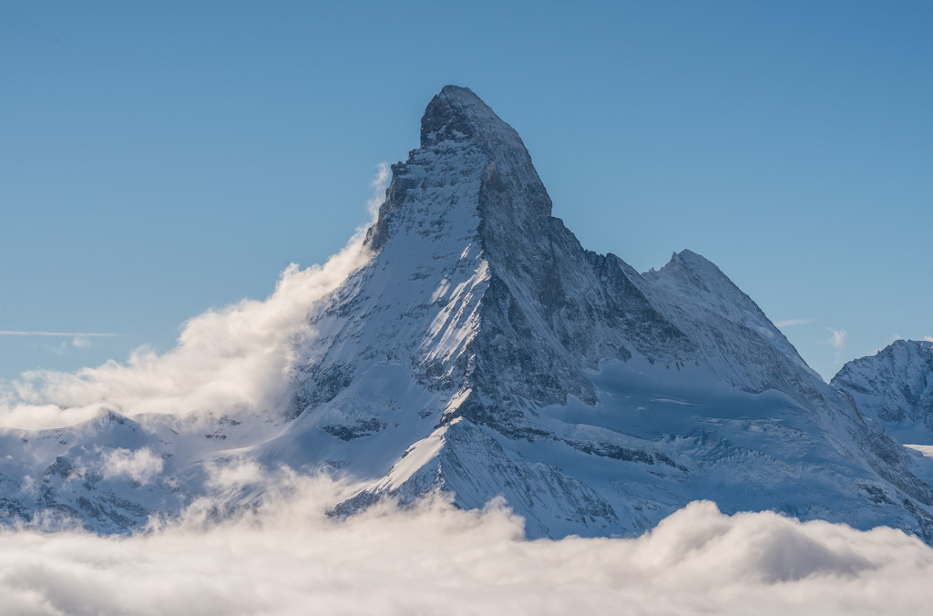
Hiking Trails in 3D
24 May 2018
It takes some time and effort to plan an exciting hiking adventure. Flat maps might be misleading in terms of the big input required to estimate the complexity of the hike, but PeakVisor Mountain Explorer comes in handy when it gets to planning any mountain endeavour.
Read more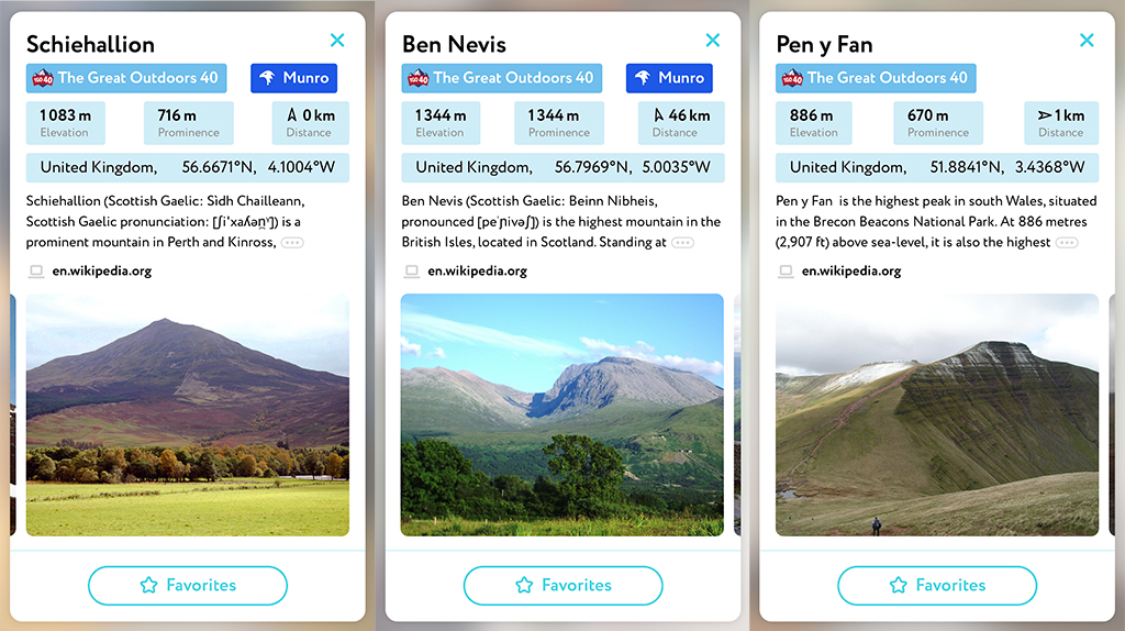
Peak Bagging in Britain
21 May 2018
Peak Bagging is an activity when hikers, climbers, and mountaineers attempt to reach a set list of summits. The need for sensible lists led to developments in the Prominence Theory as the lists consisting of independent mountains in general are more challenging and attractive than those compiled of clustered peaks which are higher than a particular elevation.
Read more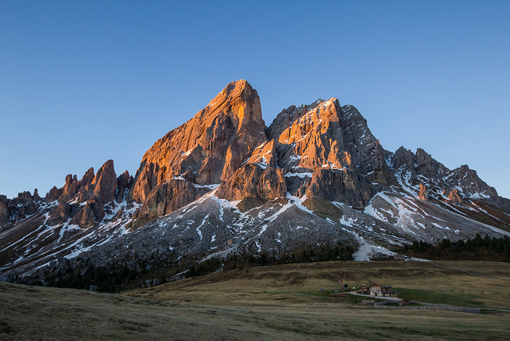
How to Calculate Peak Prominence
18 May 2018
Topographical Mountain Prominence along with mountain summit elevation are the two most important characteristics of any peak. It is calculated as the least vertical drop to be covered to get from the summit to any other higher terrain.
Read more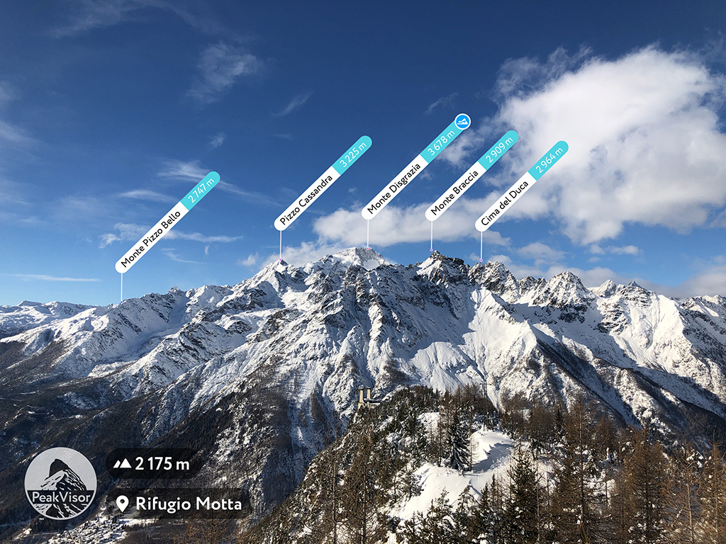
How many mountains are there on Earth?
15 May 2018
1,187,049 ! The PeakVisor team ran through the numbers, processed endless datasets of geographical information and came up with this number.
Read more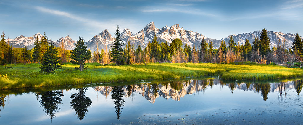
Mountain Encyclopaedia
02 May 2018
The Earth's mountains having a proper name are over one million now, so it is really handy to have a pocket encyclopaedia devoted to the landscape defining features.
Read more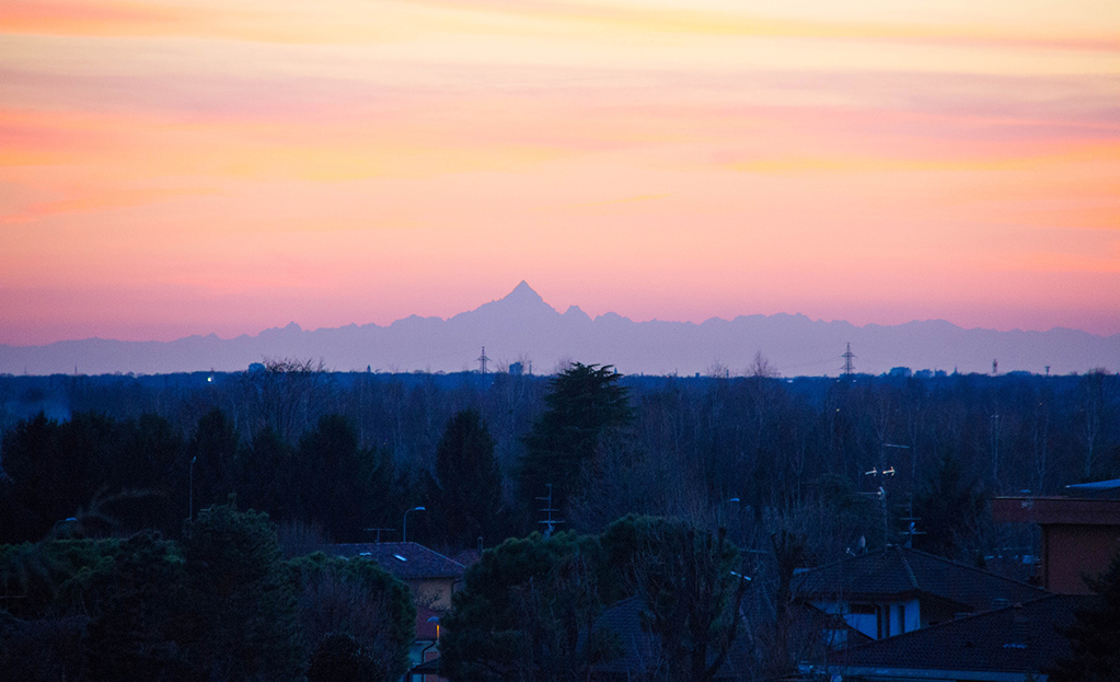
Mountain Prominence
19 April 2018
From the early days of mountaineering people have incessantly tried to sort the mountains out. How could they know which one is more important than another? Which one is harder to conquer? The obvious measurement based on elevation very often doesn't provide any meaningful information. A very high mountain could be just a `hill` on a high altitude plateau or a barely noticeable ledge on another mountain. Let's solve this puzzle!
Read more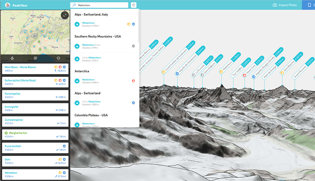
Mountain Search
12 April 2018
What new can be there about Mountain Search you would ask? Let me introduce you to the Mountain Search which allows you to find all the relevant outdoor features nearby.
Read more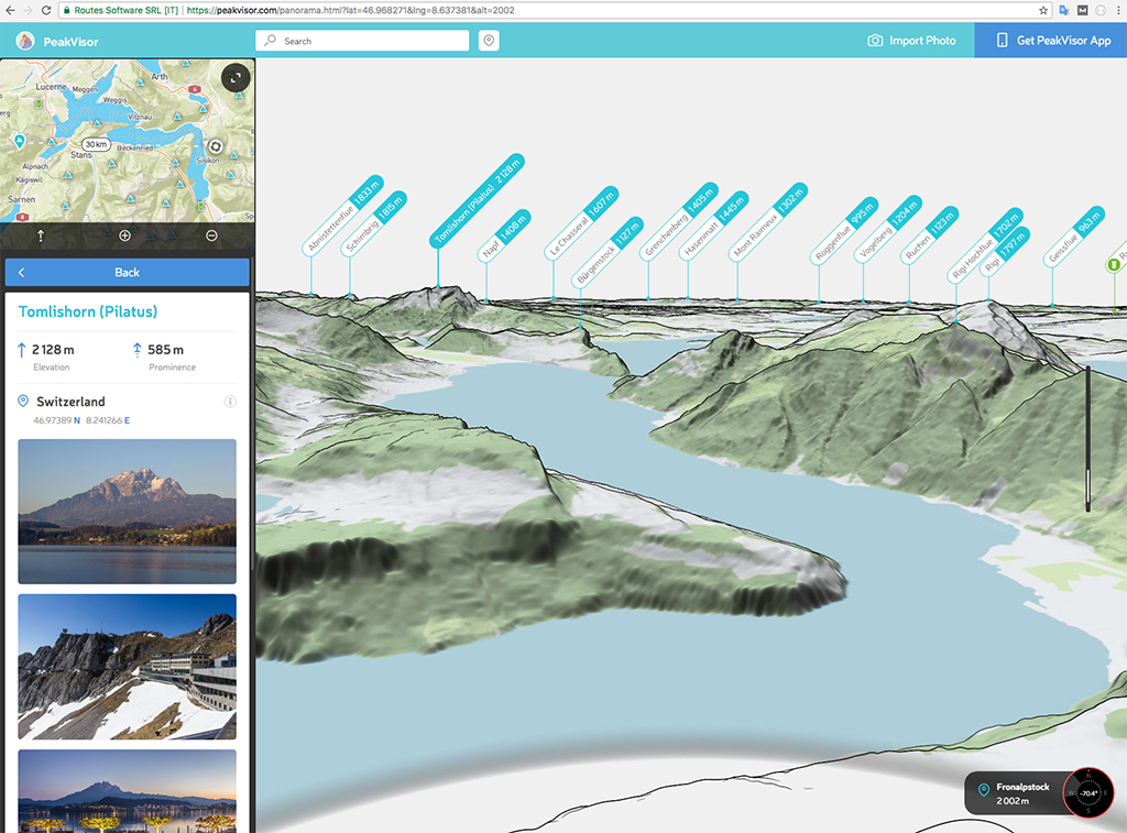
3D Maps
10 April 2018
Here in PeakVisor we firmly believe that outdoors maps should be in 3D. That’s the most intuitive way to embrace the mountains. Today, we are excited to release 3D maps to PeakVisor Mountain Explorer and PeakVisor for iOS.
Read more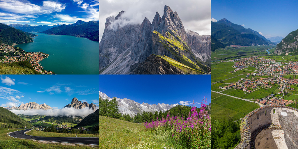
Identify Mountains in your Photos
30 March 2018
If you are a passionate outdoor enthusiast odds are that your smartphone and DSLR camera roll is full of picturesque mountain landscapes made over the years of your hiking adventures.
Read more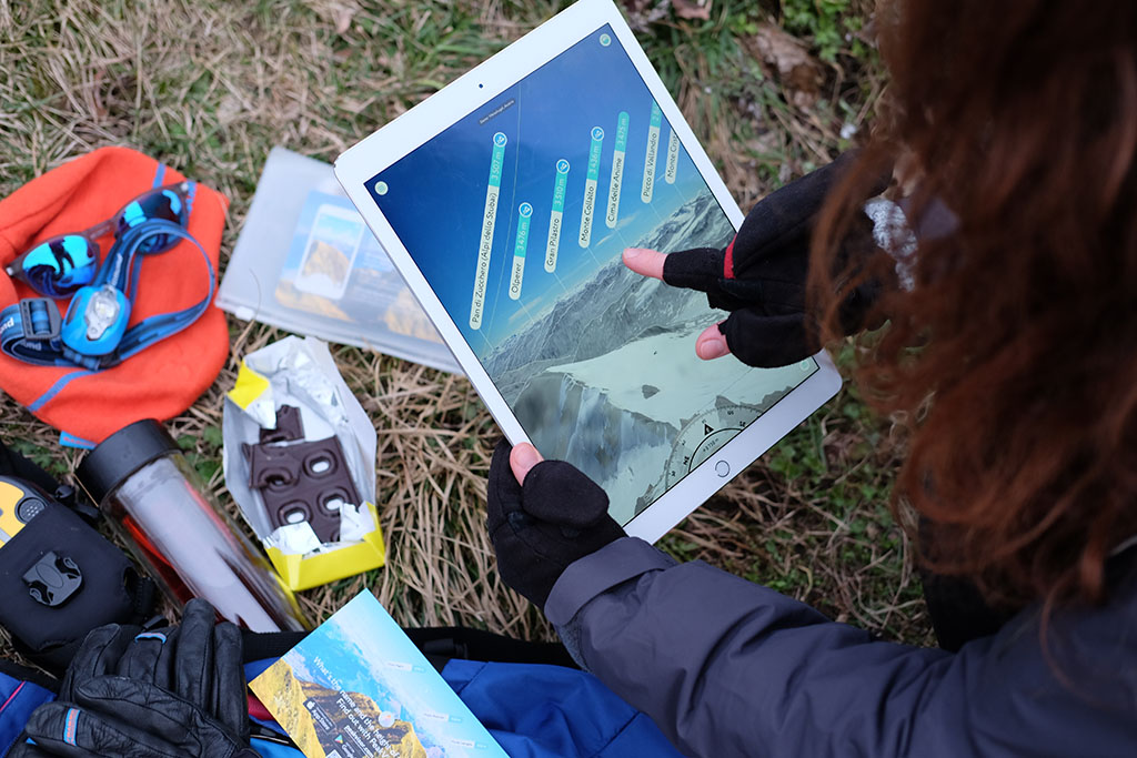
PeakVisor 2.1.4 iPad Pro, 3D map, and 867.088 peaks
01 March 2018
This winter is rich in weather surprises and anomalies. With most of Europe (even the southern part) covered by snow, we have been working hard to bring you important improvements, so you would be totally ready when the skies clear and show magnificent peaks in all their splendor to all the world.
Read morePeakVisor 2.0.7 High Precision Maps
15 November 2017
There's a lot of snow high in the mountains and the weather seems to be pleasant for a late autumn / almost winter kind of hike. Grab this latest version of the PeakVisor app with the following improvements.
Read morePeakVisor 2.0.5 presents alpine lakes
17 October 2017
Last week we started rolling out improvements that smoothly move the app into the so-called 'Grand Release'. It is based on our early tests and feels like the promising future of navigation and orienteering. Follow us in order to be the first to experience this grand future!
Read morePeakVisor 2.0.4 blends Augmented and Virtual Reality
05 October 2017
We have been very quiet over the recent weeks, the whole month actually. But that was for the grand reason. We can't wait for you to see all the mind-blowing stuff coming into your phones with the recent improvements.
Read morePeakVisor Android
15 September 2017
The complete database of 745.000+ summits embedded into the app. Added support for the three Augmented Reality modes: mountain labels only, terrain silhouettes, full AR.
Read moreThe Best Trail Apps for Navigating Your Next Hike
07 July 2017
PeakVisor uses a bit of augmented reality magic to display, in real time, little elevation markers atop nearby mountain summits. For most hikers, it’s likely nothing more than a cool party trick; for mountaineers, it’s pure adventure fuel.
Read more
