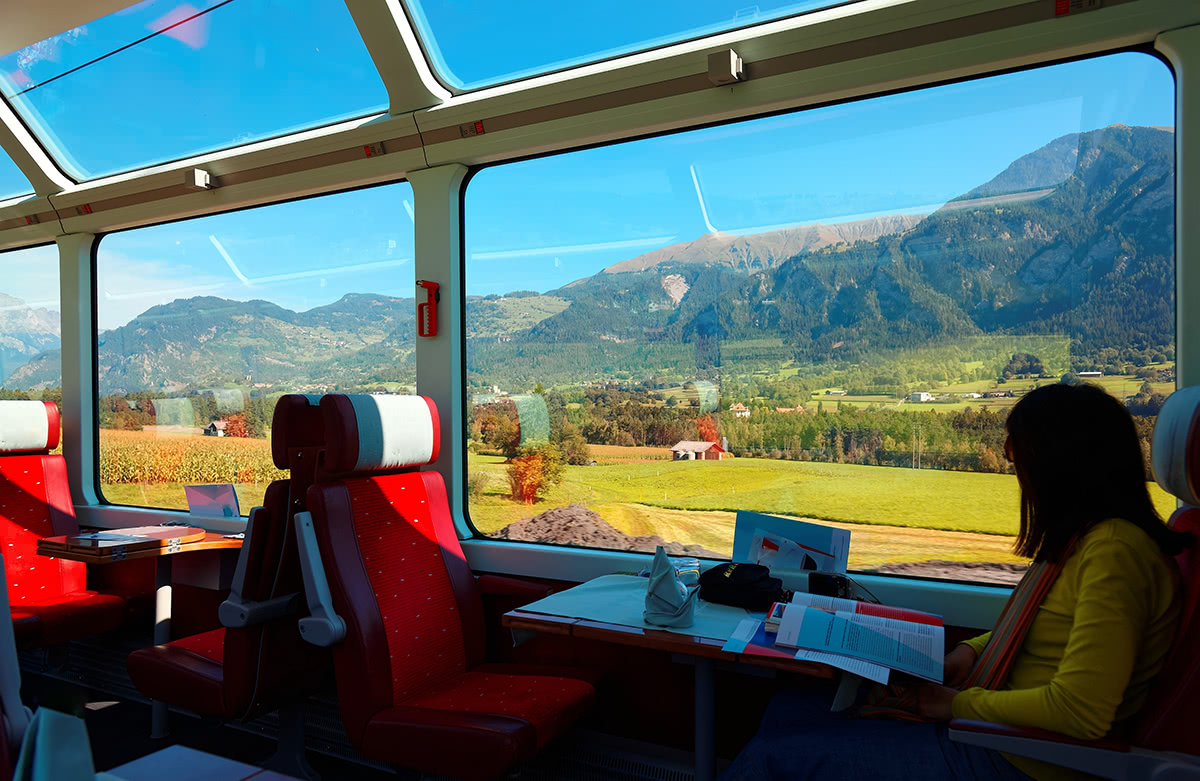
Oftentimes approaching a travel destination we are blessed with picturesque scenery. Alluring geographical features, attracting and yet unknown. It is not without a reason there’s a saying “what can be better than mountains? Only the mountains where you have not been yet!”.

The ability to immediately and deeply understand the territory around us has always driven our inspiration in making PeakVisor a magic tool for mountain adventures. What could be better than quickly identifying a mountain and having a Wikipedia article knowledge at your fingertips, or seeing a centuries-old castle and being able to immediately tap into its history? That’s what PeakVisor is about! Grand knowledge for all things outdoors available to everyone.

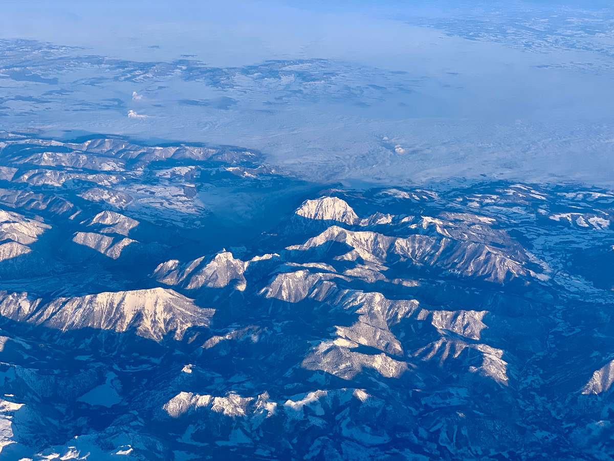
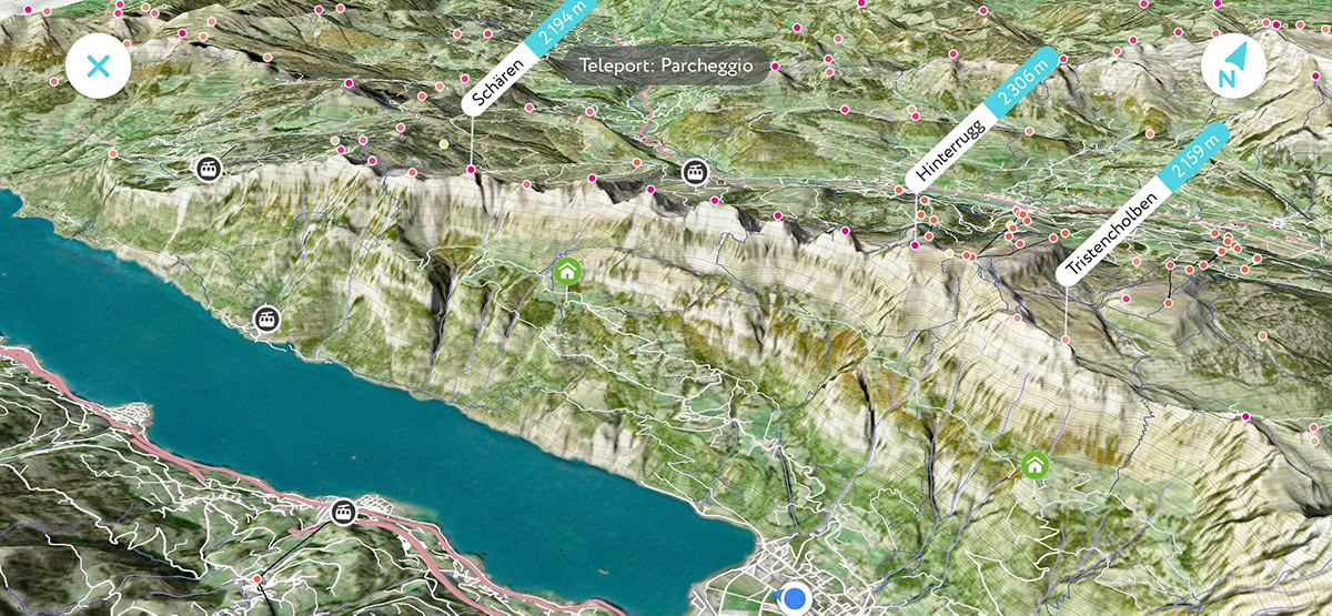
In some cases it might be hard to point the camera at a feature you’re interested in or you might want to see the place from a different perspective. This is where 3D Maps come to help. PeakVisor allows you to see your pace, location, and trajectory through the realistic 3D model of the area around you. Just imagine seeing the plane you’re flying on, it is soaring over the Alps, or the Rockies in the US, it is flying above snow-capped peaks and green valleys. We guess you have also had those queries about what that lake is, what that town is, what that mountain is… No more guessing, just open PeakVisor, it works offline as well.

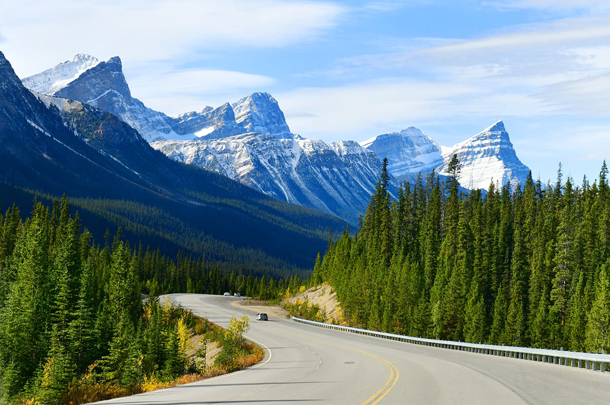
That’s why there’s no better companion app for your scenic travel experience. There might be hundreds and even thousands of mountains along Bernina Express and Glacier Express routes in Switzerland, or along the Icefield Parkway in Canada. PeakVisor will inform you about the most important mountains, waterfalls, castles, etc.

Please tell us about your scenic travels and send some photos with mountains identified! Have fun! And safe travels!
