An Overnight Excursion Into One of Australia’s Best National Parks
It was nearly twilight when Anna and I finally sidled into Wilson’s Promontory (Prom) National Park, our bums sore from 18 hours of driving down the coast from Sydney over the previous few days. It went without saying that we’d be setting up camp and cooking dinner in the dark. We kept a weary eye out for wombats and wallabies as we maneuvered the ungainly “Big Kahuna” Nissan Patrol through windy roads and heathland.
Over the course of the driving, we’d already listened to all the recorded music in existence and were deep into the podcast universe. Pundits were pondering the results of the next Aussie election when the heathland broke like clouds opening up to the heavens. Before us stretched the expanse of the Bass Strait and its dozens of islands as the clouds refracted the fading sunlight into an array of purples and oranges. I now understood that we had arrived at a truly extraordinary place.
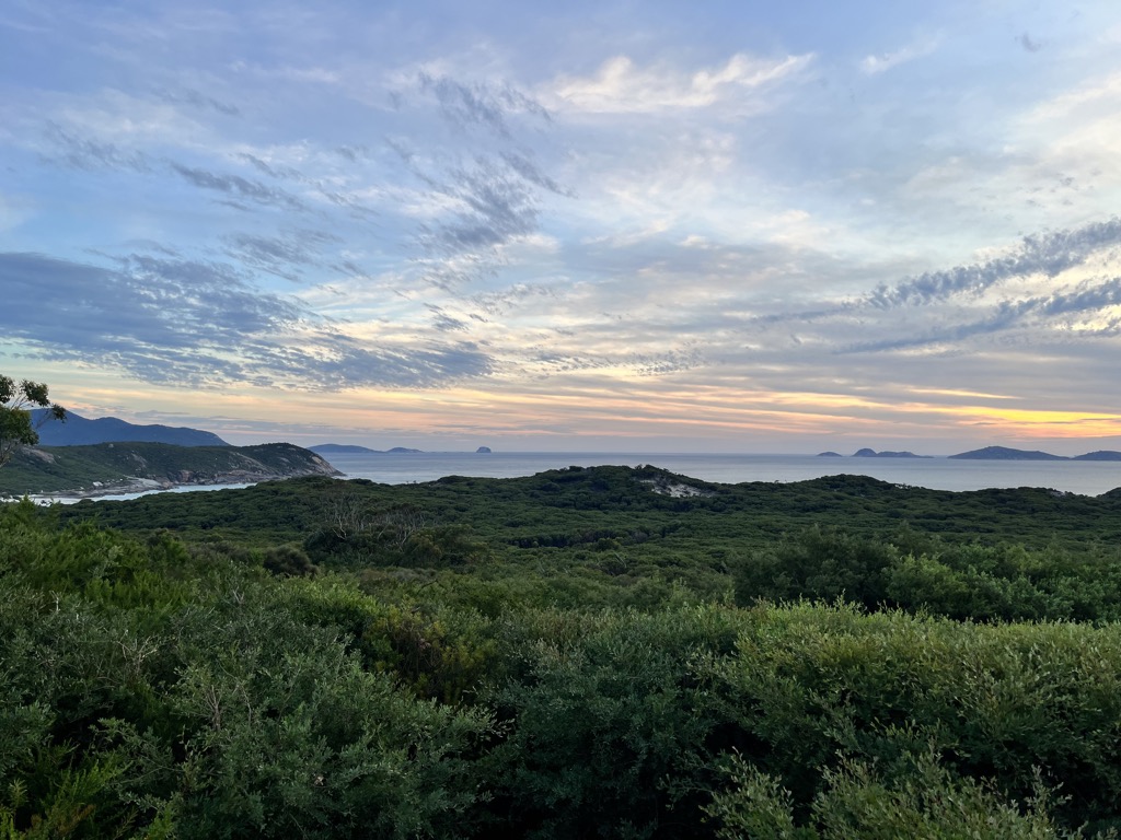
Tidal River
Soon after this remarkable sunset, notable even within a country of remarkable sunsets, we arrived at Tidal River, the hub of Wilson’s Prom.
All camping in Tidal River (and Wilson’s Prom) is free, but you’ll have to reserve in advance for both the car campground and the overnight hiking sites at Parks Victoria (linked). Word of warning: spaces go fast for both. Reserve well in advance—unfortunately, this exposes you to risk from the Prom’s famously fickle weather. Great beauty comes at a price, even if it’s not a financial one.
The one exception is the “overnight hikers” camping area at the far end of Tidal River, on the left as you pass the last of the cabins. We failed to book the campground, so we stayed here. It’s far more peaceful than the bustling car camping area but also inconvenient. You’ll have to navigate trails up a short hill—in the dark, in our case—and be far from the showers, water, and other camp facilities. Say hello to the wombats on night patrol.
Planning Our Route
Many factors go into planning a backpacking trip: How long to go out for? How much distance to cover? Where to camp? How much food to carry? What’s the likely weather? The PeakVisor app offers a darn good template for playing around with potential hiking routes.
PeakVisor started as a peak identification tool, but we’ve evolved into purveyors of the finest 3D maps available. We’ve compiled information on all publicly maintained walking tracks, campsites, mountain huts, and other notable trail features across the world, all formatted onto our maps. It’s perfect for planning routes before setting out. You can then track your hikes directly on the app, upload pictures for other users, and keep a diary of all your outdoor adventures. We’ve recently added high-resolution weather forecasts for any point on the planet so that you can gather forecasts for different elevations or aspects.
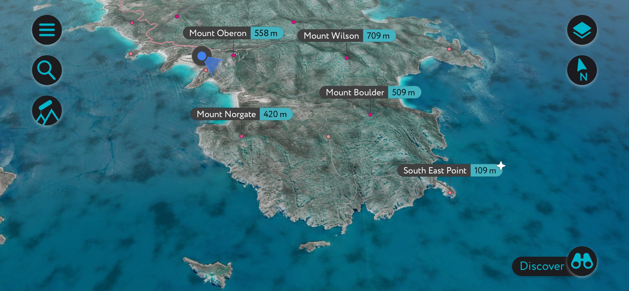
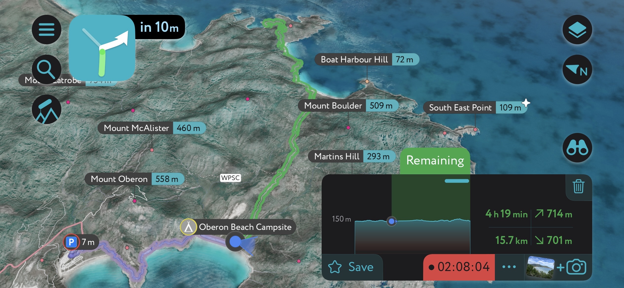
Mapping out our hike and tracking it on the app. Knowing our remaining distance was particularly helpful on this lengthy hike
We had booked two nights at the Refuge Cove campground. Unfortunately, the northern half of the popular circuit route is still closed (it has been for years), so we had to take an out-and-back route crossing Boulder Saddle, instead of a loop. That meant 24 km (15 miles) of hiking on the first and third days and repeating the same route.
In this case, we knew it would take about 6.5 hours of hiking (not including breaks) to reach Refuge Cove from Tidal River, but we wanted to do it in one day to have an entire day to explore and relax on the beach. The weather was iffy at first but glorious on our second and third days.
There are plenty of water sources along the route, but all water must be treated. Due to the tannins from breaking down leaves, most of the water is slightly brown.
The Hike to Refuge Cove
The Prom sees quite a bit of rain, and we got ours over early at Tidal River. It was a rainy night, and we soggily and groggily packed up our camping gear the following day. After a much-needed shower, we dropped our car off at the “overnight hikers'” parking. Starting at 1 p.m. was not ideal, considering it was 24 km (15 miles) to Refuge Cove.
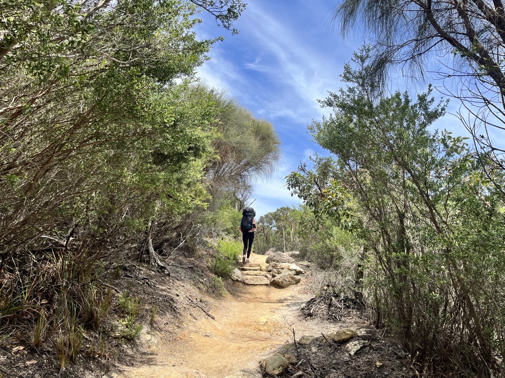
It took about a kilometer to understand the beauty of the place, which was even more impressive than the sunset the day before.
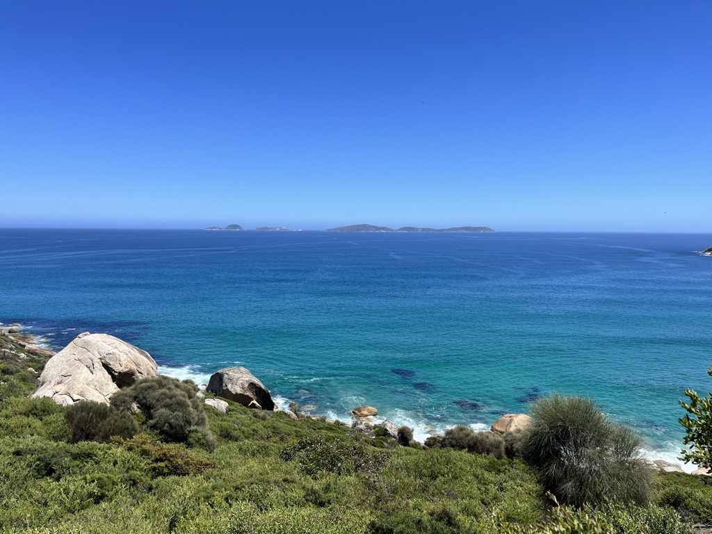
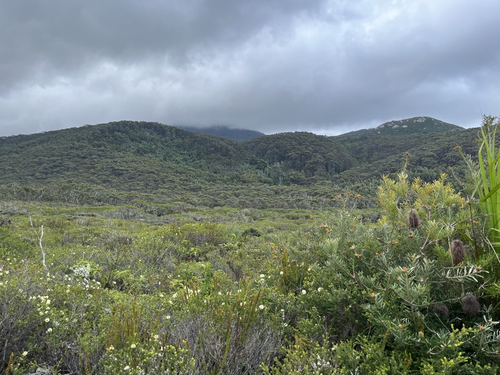
I guess I didn’t know what to expect. The marine environment was more akin to Queensland—or some other tropical destination—than the southern tip of Australia. White sand beaches define the east and west sides of the coast here, where the most popular overnight hiking circuit goes. Meanwhile, the southern tip of the Prom is wilder, with large bluffs and rocky seacoast rather than protected, sandy coves.
The entire promontory is comprised of a block of decomposing granite. The rock formations are quite beautiful, but the best thing about this granite is that it breaks down into wonderfully fine white sand due to its quartz content. I had always thought that tropical beaches comprised of sea shells and corals are the whitest, but this isn’t true; it’s actually granitic sands that can produce the world’s whitest beaches. The quartz also results in a bizarre squeaking/squelching sound as you walk.
You don’t even have to take a long walk to take in the whitest of the white sand; the aptly named Squeaky Beach is a relatively short (an hour and fifteen minutes total) out-and-back hike from Tidal River. You can also drive there.
Our mission took us from Tidal River to Little Oberon Bay to Oberon Bay, each beach more stunning than the last. The trail from Oberon Bay to Waterloo Bay is slightly less scenic, with most of the trail following dirt road and double track, although the grade is much easier. Flat ground is difficult to come by on Wilson’s Prom; prepare for up-and-down hiking.
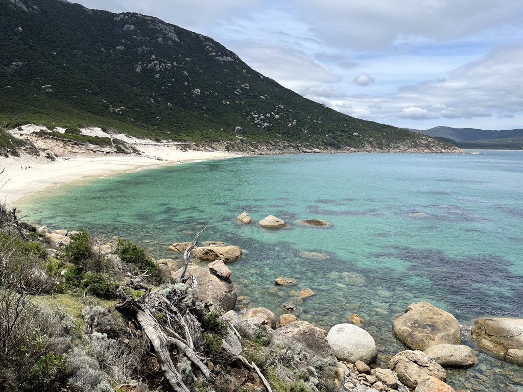
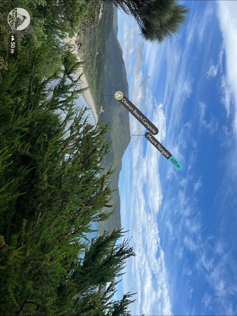
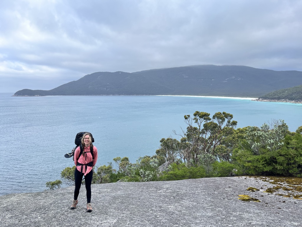
From Waterloo Bay, hikers are only about 30 minutes from the eponymous campsite, just north of the largest beach. Refuge Cove is still about 2.5 hours, though it’s by far the most scenic hiking of the trip. Old-growth Eucalypt forest is more established here, with massive tree ferns colonizing the shaded gullies. A couple of stiff ascents will break a sweat as you wind along the singletrack, but nothing too punishing.
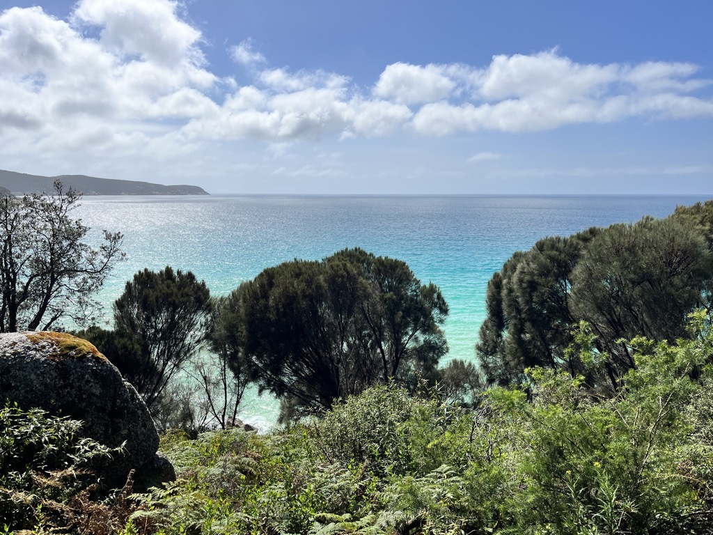
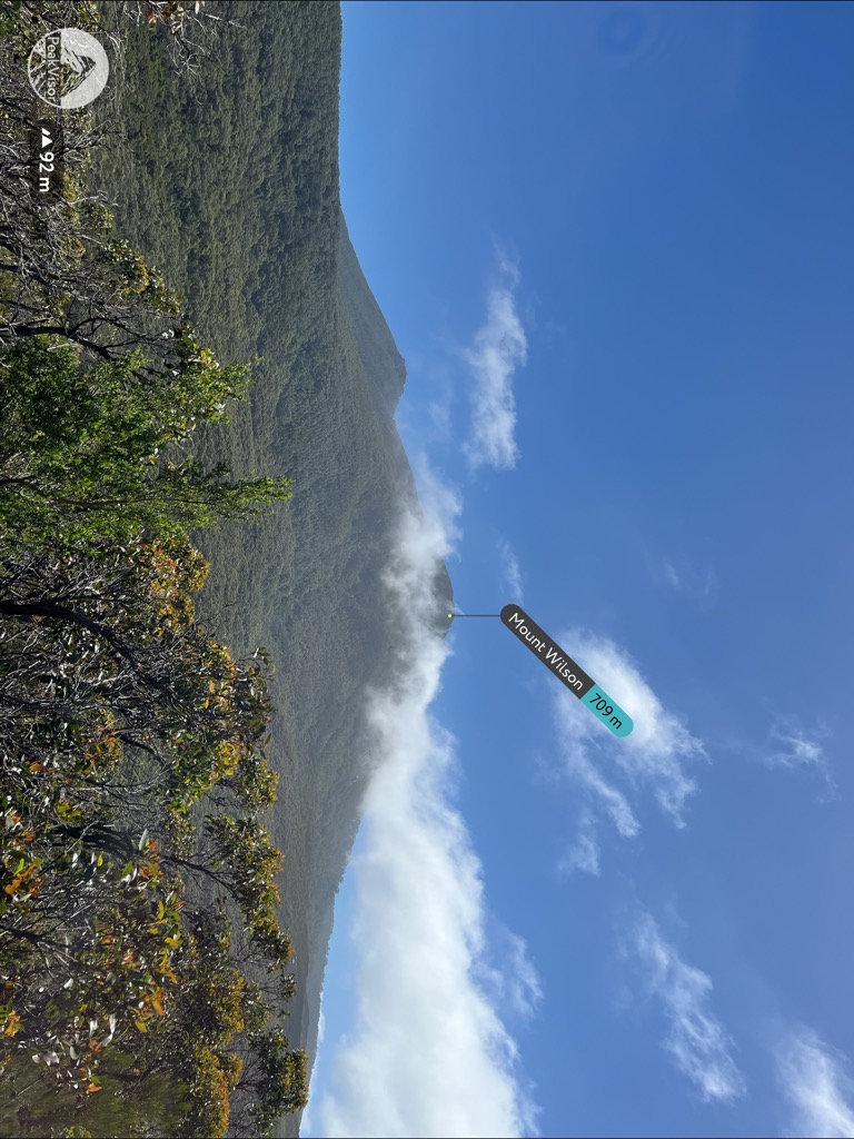
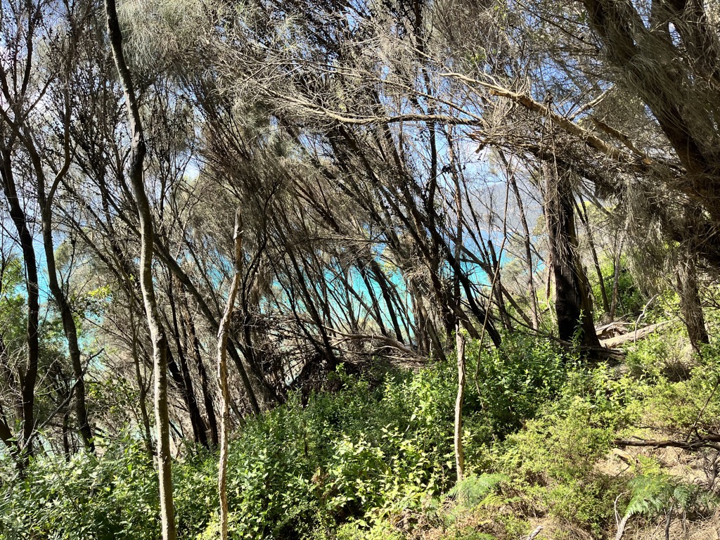
The views are endless. On the one hand, the evolving panorama of the sea and coastline never ceases to amaze. However, the view of the mountains is surprisingly impressive—Mount Wilson reaches a respectable 709 m (2,326 ft) coming right from sea level. The Eucalypt leaves contain oils that ever-so-slightly impregnate the forest canopy with a foreboding blackness that lends it a particularly prehistoric feel. The wind howled as we crossed over the final ridge to Refuge Cove, and the sun retreated behind the mountains, all adding to that peculiar otherness that defines the Australian continent.
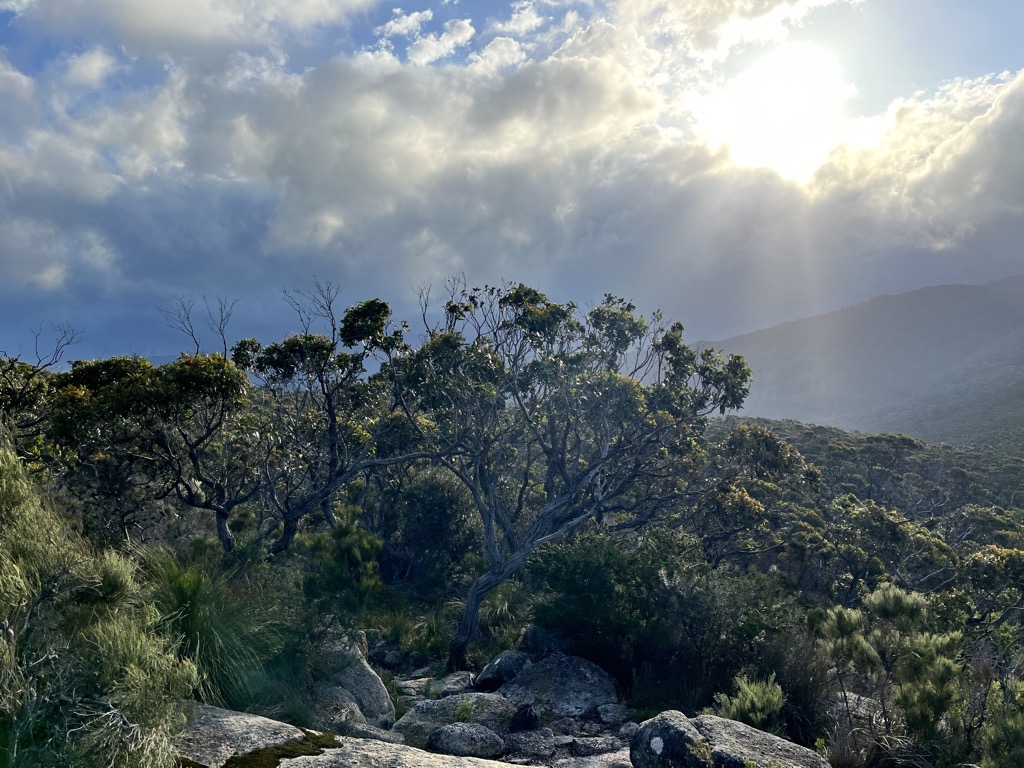
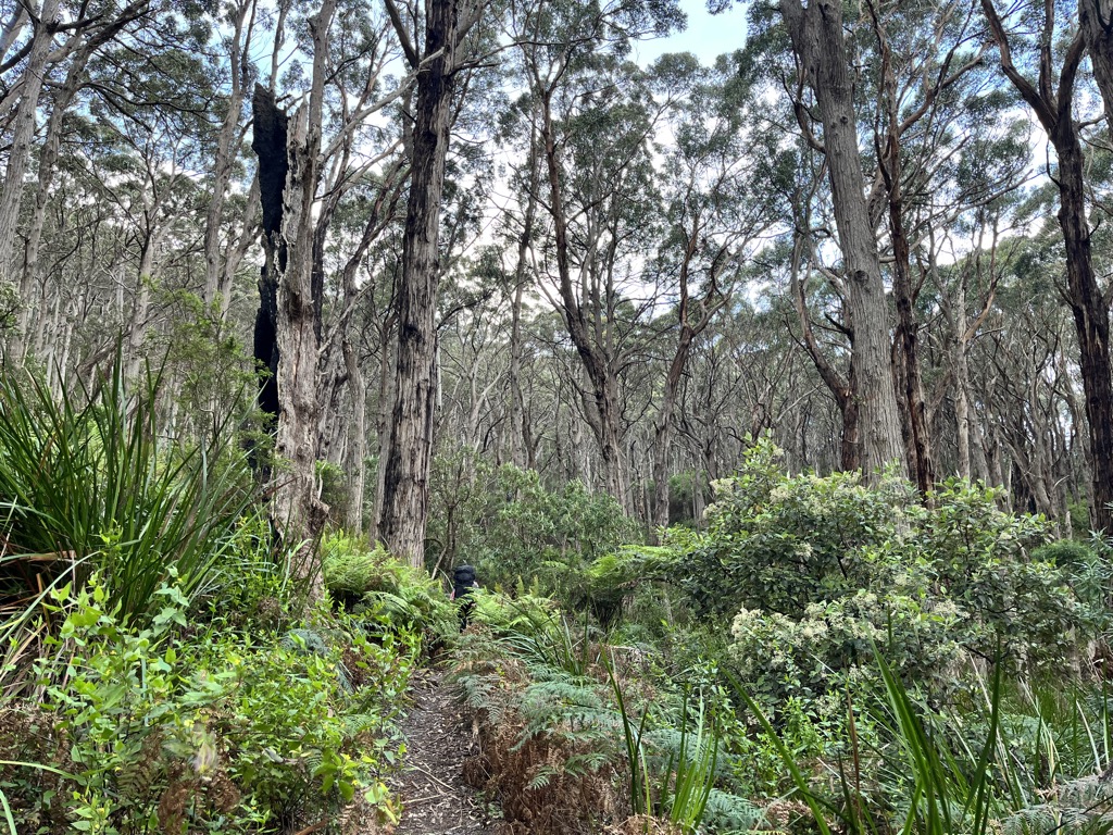
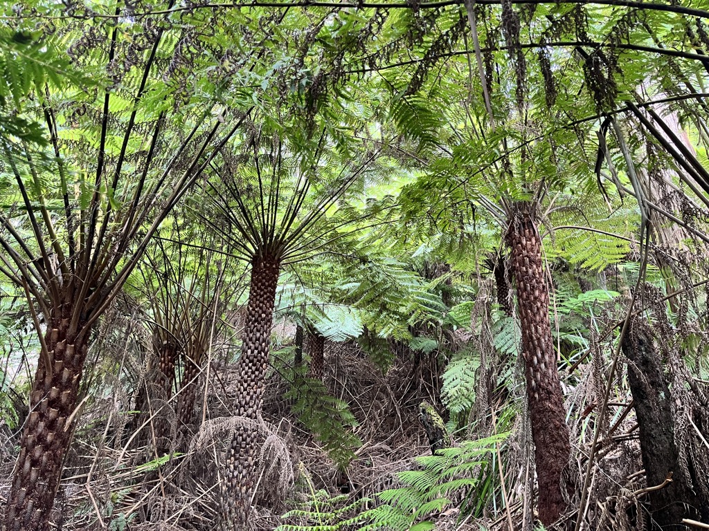
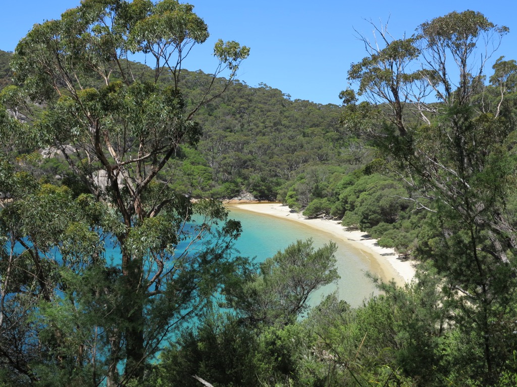
The first impressions of Refuge Cove came on strong from the top of this ridge. Out of the wind-gnarled Eucalyptus forest, a cove appeared, walled off from the restless sea and utterly at peace with the world. On cue, the wind stopped, and we dipped down the trail into the sanctuary of this place.
The campsite is far more pleasing than either Oberon or Waterloo Bay, with space a-plenty for the maximum of 40 people that can book each night. Easy access to water and the beach round out this campground’s reputation as the best of the bunch on the Prom.
A Day at Refuge Cove
You can book each campground for a maximum of two nights per trip. However, we were the only people at our campground to kick back and take advantage of an entire day lazing in paradise. Sure, it’s only a couple of hours in either direction to Sealer’s Cove or Waterloo Bay. Still, nothing compares to waking up in a beautiful place and knowing that absolutely nothing is required from you that day. Of course, busting out of Tidal River into Refuge Cove in a day also left us a bit tattered.
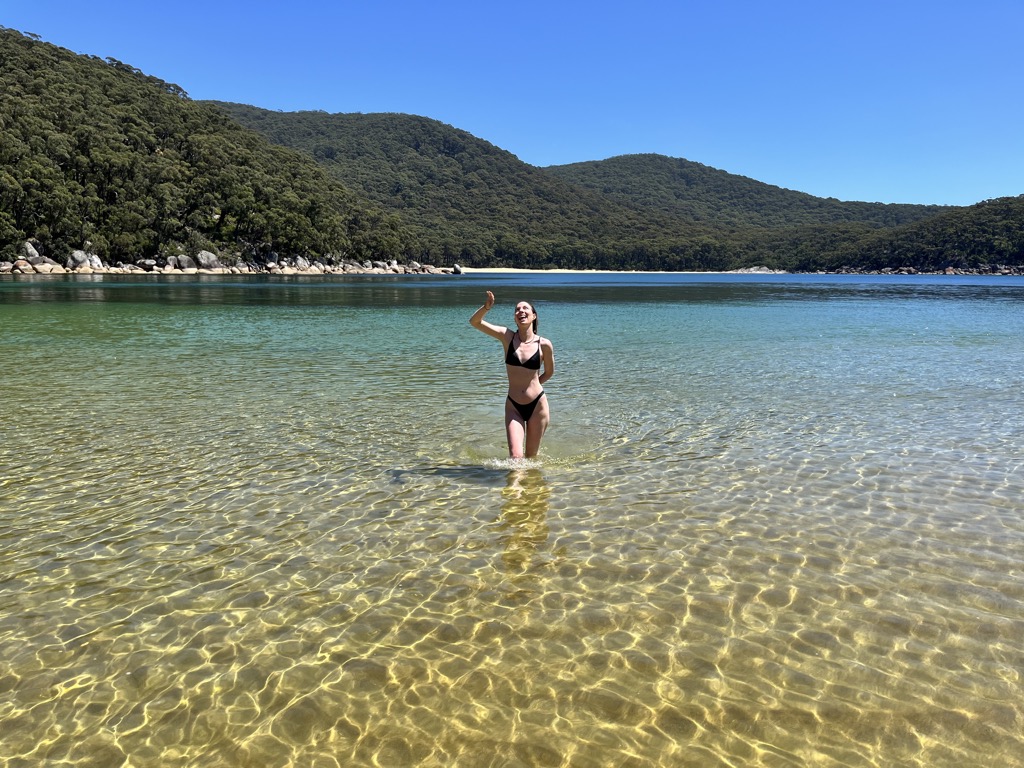
The day began with breakfast, followed by a five-minute trot to the beach. Yesterday’s clouds had cleared, and the early morning’s fog had burned off, leaving nothing but brilliant sunshine across the Prom. The white sand and turquoise water—and I mean turquoise—was the most inviting I’d ever seen. Alas, it was also frigid (it’s still the beginning of December) and difficult to stay in for more than a few minutes.
Further exploration uncovered a boater’s camp; sailboats and yachts occasionally frequent the cove, although it was (thankfully) empty the day we were there. A trove of whale bones and name plaques mark the camp, as well as a brief history of European exploration. Apparently, the cove was once a hub for the whaling industry, as it is one of the few safe places along a great distance for ships to drop anchor.
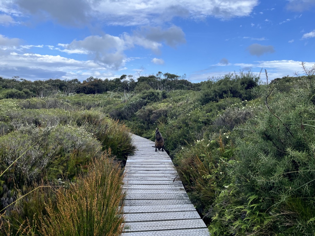
Shifting sands can occasionally uncover the graveyard of bones about 50 meters offshore. The whale population was quickly decimated, and the industry was kaput by the mid-nineteenth century. Humpback whales have largely recovered and are now a frequent sighting along the Australian coast during the spring and fall migrations. However, Southern Right whales haven’t recovered as much and are still listed as endangered by the IUCN.
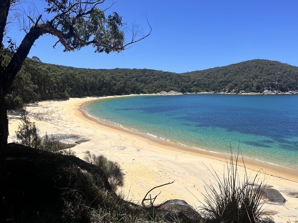
The afternoon brought us fifteen minutes along the trail to North Refuge Cove, where we intermittently swam and basked in the sun’s warmth for the duration. Complete solitude and peace defined this unforgettable stretch of beach.
We trekked back, prepared dinner in the enduring glow of summer’s solstice twilight, and tucked in early.
Returning to Tidal River
In direct contrast to the peace of the previous day, we had to set an alarm the next morning. It was time for the next stage of our road trip, and we had to be in Melbourne by late afternoon. The hike out was what it was. Unfortunately, heat and relentlessly punishing sunshine accompanied tired feet and ill-fitting boots. It was the perfect day to lounge in the water, but it was not ideal for a 24 km hike with almost 1,000 meters of elevation gain. One foot followed the other for seven hours as we found gratitude in 50 SPF sunscreen and the occasional Haribo gummy bear.
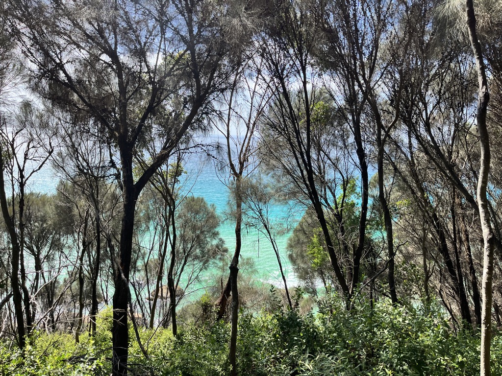
Perseverance was rewarded with chips at Tidal River and a swim at Norman’s Beach that I can only describe as rapturous. Swollen feet deflated, body temperatures gently moderated, and eau-de-backpacker washed away along the sandbar. The water was decidedly warmer here; it was perfectly refreshing.
It was time for the next adventure: Meredith Music Festival. But Wilson’s Prom is imprinted in my heart like no other natural place I’ve visited in Australia. Until next time!
