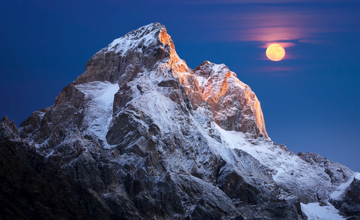
In Photography, when and where are usually more important than how. Being in the right place at the right time is crucial for a perfect shot. A celestial body in the photo might completely change the pic or be the ultimate light touch to the composition. When it gets to predicting the varying phase of the Moon orbiting around the Earth orbiting around the Sun, planning becomes especially sophisticated. But fear not, PeakVisor has you covered. The recently added Moon Visualisation feature allows perfect photography scheduling.
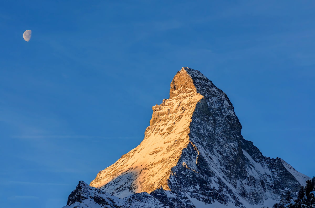
When planning a photoshoot, the most important aspects of the Moon to consider are:
- Moon Trajectory - where it rises, what’s the arc, and where it sets
- Moon Phase
- Moonrise and Moonset times
You can find out all of them in the PeakVisor AR camera view. Tap on the blueish moontrail to see the details of the Moon (see the screenshot below).
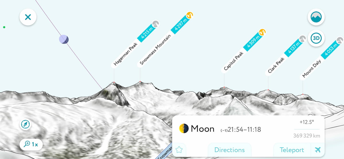
The app even shows the precise distance to the Moon and pitch angle for the most curious ones! At the moment of writing, the distance was 369 329 km from Colorado. By the way, the time-averaged distance between Earth and Moon centers is ~385,000 km (239,228 mi). The actual distance varies over the course of the orbit of the Moon from 356,500 km (221,500 mi) at the perigee to 406,700 km (252,700 mi) at apogee.

Most often the Moon Phase is described by one of the 8 states:
- 🌑 New Moon
- 🌒 Waxing Crescent
- 🌓 First Quarter
- 🌔 Waxing Gibbous
- 🌕 Full Moon
- 🌖 Waning Gibbous
- 🌗 Last Quarter
- 🌘 Waning Crescent
You can identify the current moon phase in the popover panel and right in the camera view.
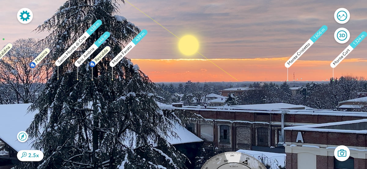
Now, should you wish to catch the shot of the Moon right between Maroon Bells (Maroon Peak and North Maroon Peak) all you need is Teleport to Maroon Lake in the PeakVisor app and check the Moon. In conjunction with 3D maps and animated flyovers, it is a very powerful tool to scout any location before hiking.
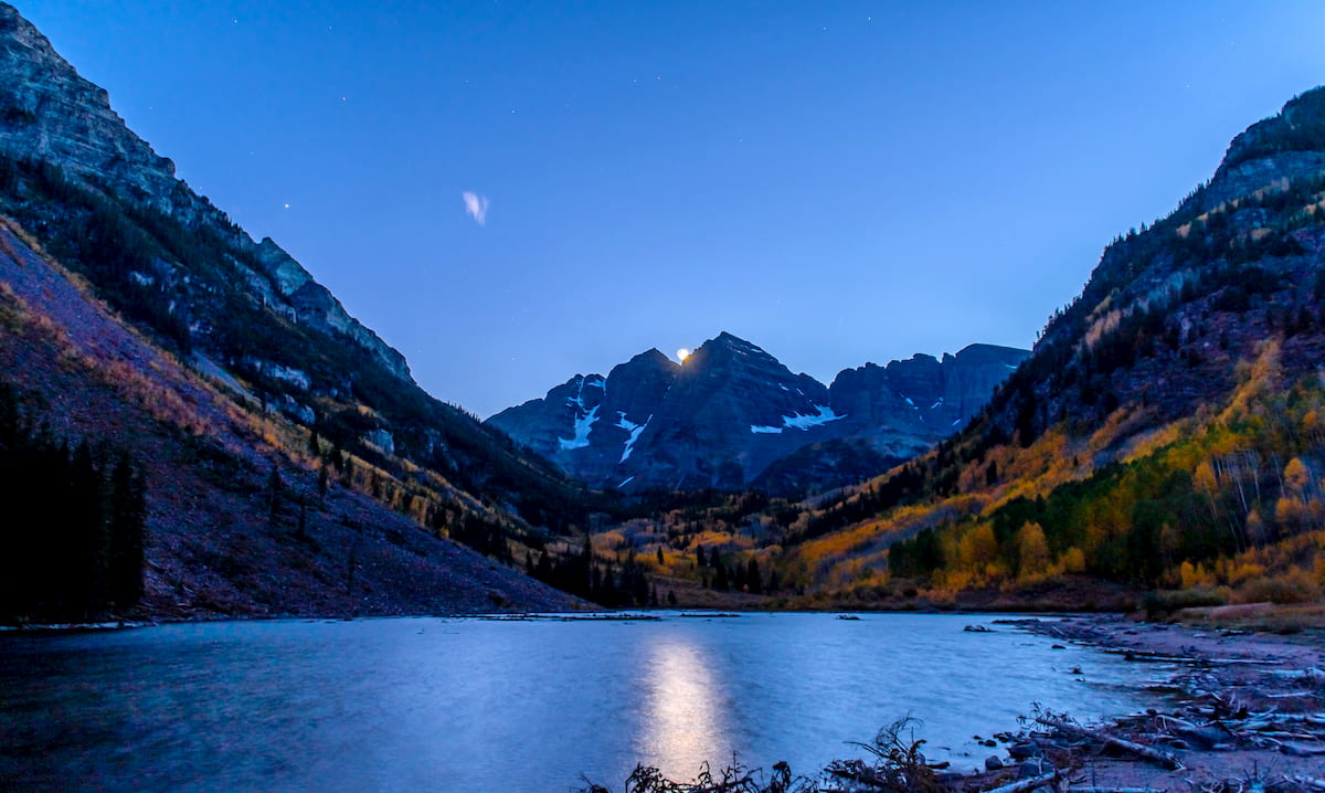
At the moment of writing (first days of January 2021), our team is working on the date and time selection. Let us humbly name it Time Travels in addition to the already traditional PeakVisor Teleport. Using these tools will allow you to find the best day (or night) for a photo shoot. Together with PeakVisor routing capabilities, you’ll be just in time at the perfect photo location. This option is to be released by the end of January 2021.
Do you like these new photography-related capabilities of PeakVisor? Want something to be improved? Tell us what you think at peakvisor@routes.tips.
