
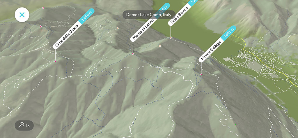
“What’s the name of that mountain?” is probably the most popular question outdoors, but the very next question is “How could I get there?”. Here at PeakVisor we crave to answer all the questions an outdoor enthusiast might have. It is better to enjoy outdoors rather than spend too much time thinking about the answers, right? Here you go, the latest version of PeakVisor has all the hiking trails of the world!
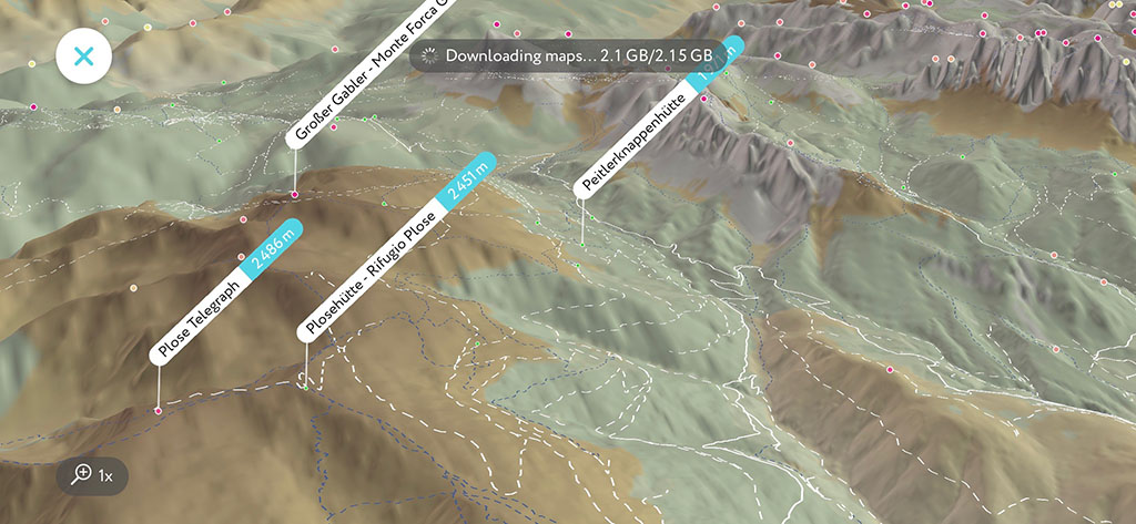
It took us enormous effort to collect and organize information about the pathways all over the world. We had to postpone the release several times, but now it is here. As all other PeakVisor features Hiking Trails are available offline for any previously downloaded areas. Just make sure to have the area downloaded before hitting the road.
We believe that this feature will be extremely useful when coming to a new place. Having a birds eye view on the landscape around you, the nearest peaks, and trails leading to them will help to better understand the area and plan adventures. Also, it might be convenient to see the progress towards the summit where you can use PeakVisor AR to identify hundreds of peaks around you.
All the pathways are visible in the fancy 3D compass but we suggest using the 3D maps fullscreen mode in order to have a bigger picture. Just double tap on the compass or point your phone down like you normally do and the top right button will change to the (VR), click on it to enter the fullscreen 3D maps.
In some parts of the world there are more hiking trails than in others. Depending on the selected area trails might take significant amount of storage. If you’d like to save some storage you could either download a smaller area or disable trails downloading in the “Download Settings” menu.
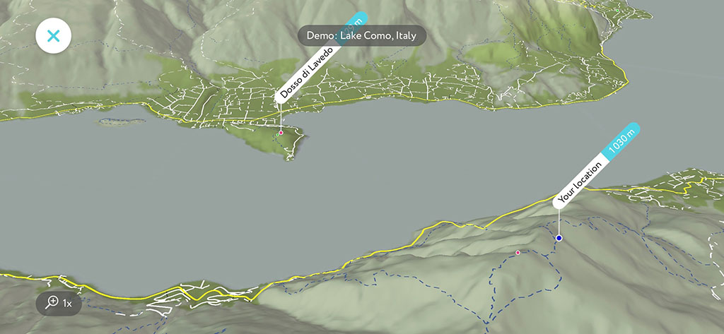
Before we introduced the pathways feature the only way to measure the distance was to follow the straight line as the crow flies. You could see those straight line distances in the Local Search list and in the information popup by tapping on any label. Depending on your settings you would see the distance from your location to a particular object either in kilometers or miles.
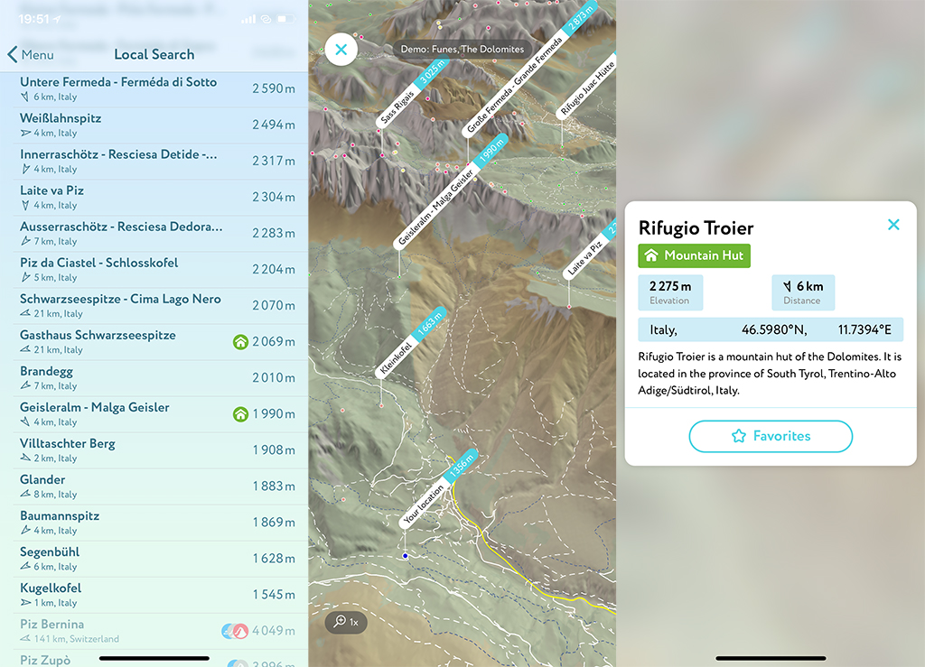
Obviously, with the pathways this distance thing can be significantly improved. PeakVisor can tell the trail distance and elevation gain, estimated time of arrival, and many other things. As you see we have a huge room for improvement here. So, we are getting back to our computers and return to coding all these amazing things in order to give you the best answers to all the questions you might have during your adventures.
While we are coding the future, please send us your photos and write us a review in the stories. That helps us a lot. And now it is time to get out and have some fun!