
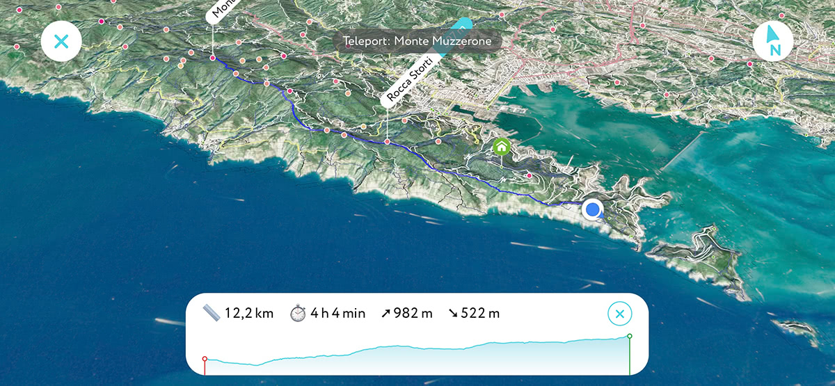
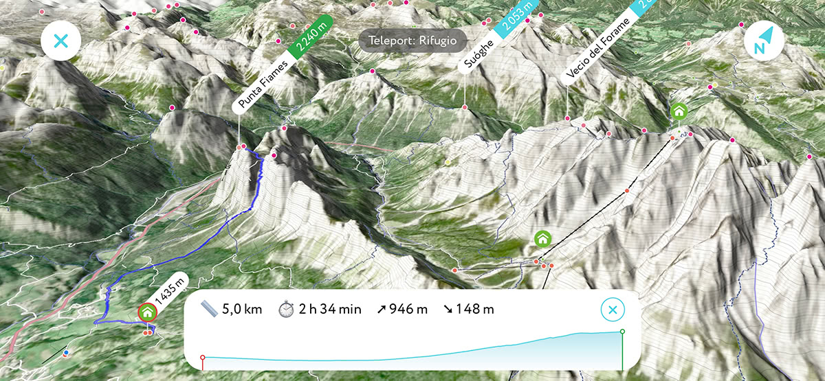
Realism and convenience, that is what people are looking for in 3D maps. Hence, creating a larger-than-life and most user-friendly representation of 3D maps has been paramount for PeakVisor since the first time we added maps into the mix. The initial rough version of 3D maps was soon improved by adding the terrain types, which allows distinguishing bare rock slopes from forests, grass, residential, and many other land cover types. Even though it was a big step forward, it wasn’t enough. Today, we introduce a Satellite layer in 3D maps.
Satellite 3D maps are available offline. We’ve spent months polishing and optimizing satellite imager to make the maps nice and compact so that you can use them without Internet access, just as all other PeakVisor features. It does not take much space on your device. For example, a lifetime hiking area as large as the Alps requires just about 1GB on your phone. Should you download smaller regions, you would need only a couple of hundred megabytes.
You can already have a taste of Satellite 3D maps while reclining on a lounge chair. Just open any virtual demo and enjoy all the mountains in Augmented Reality and their realistic 3D view. Give it a try and “plan” your hike in the area. Which one do you fancy?
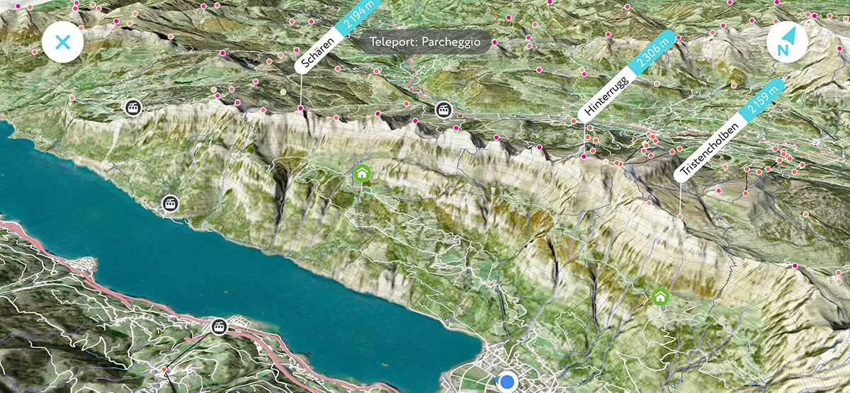
A Satellite layer together with hiking trails routing and high precision terrain model make PeakVisor 3D maps the most effective offline navigation app for any outdoor adventure.
But here’s the thing. We don’t have our own satellites yet and have to invest a lot into making this feature possible. In the future, Satellite 3D Maps will be part of a premium package with a free trial. But for now, while we are testing and improving them, it is available at no extra cost. Facilitate your planning treks and hiking with the new significantly improved 3D maps and please let us know what you think about it.
There are many other amazing improvements coming soon for the upcoming hiking season. Stay tuned!