
Since ancient times people have been using maps to describe large terrains. This is a convenient way to show geographical features in relation to each other: there’s a cafe on the opposite side of the road, there’s a house at the end of the street, there’s a sea in a distance. But most of us have hard time interpreting mountainous landscape where the most significant feature is varying elevation. Elevation gain is one of the most important parameters for any trek.
Here in PeakVisor we firmly believe that outdoors maps should be in 3D. That’s the most intuitive way to embrace the mountains. Today, we are excited to release 3D maps to PeakVisor Mountain Explorer and PeakVisor for iOS.
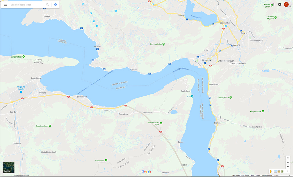
A flat map might look like this:
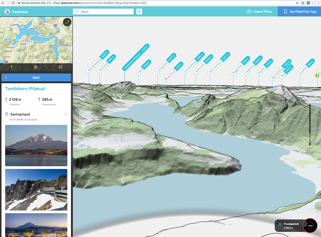
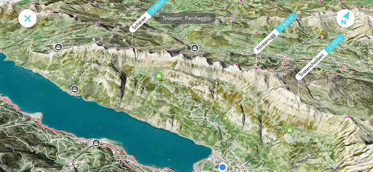
But in real life it looks pretty much like this:
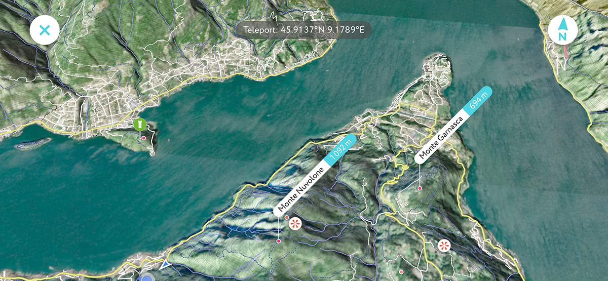
Probably you have noticed, that we went a little bit farther and added terrain type texturing to our 3D maps in order to make them more real. Be sure, we’ve just scratched the surface. There are so many improvements to be made soon. Stick with us and have the best outdoors app in your toolkit.
How to use 3D maps on mobile
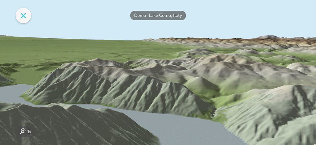
Don’t wait for the next hike to try this new feature, open any virtual demo in the app and see it in motion:
- 3D map is available by double tapping on the compass which could be visible when you point your phone down.
- Use two fingers movements to rotate and zoom 3D map
This flyover mode allows you to quickly grasp surrounding landscape and better understand your progress toward a goal. I almost hear you asking about trails and altitude levels. I’ll just say that they are coming very soon!
Update: as of April 2019 all major features were added.
Finally, here is a short video demo:
3D Mountain Explorer
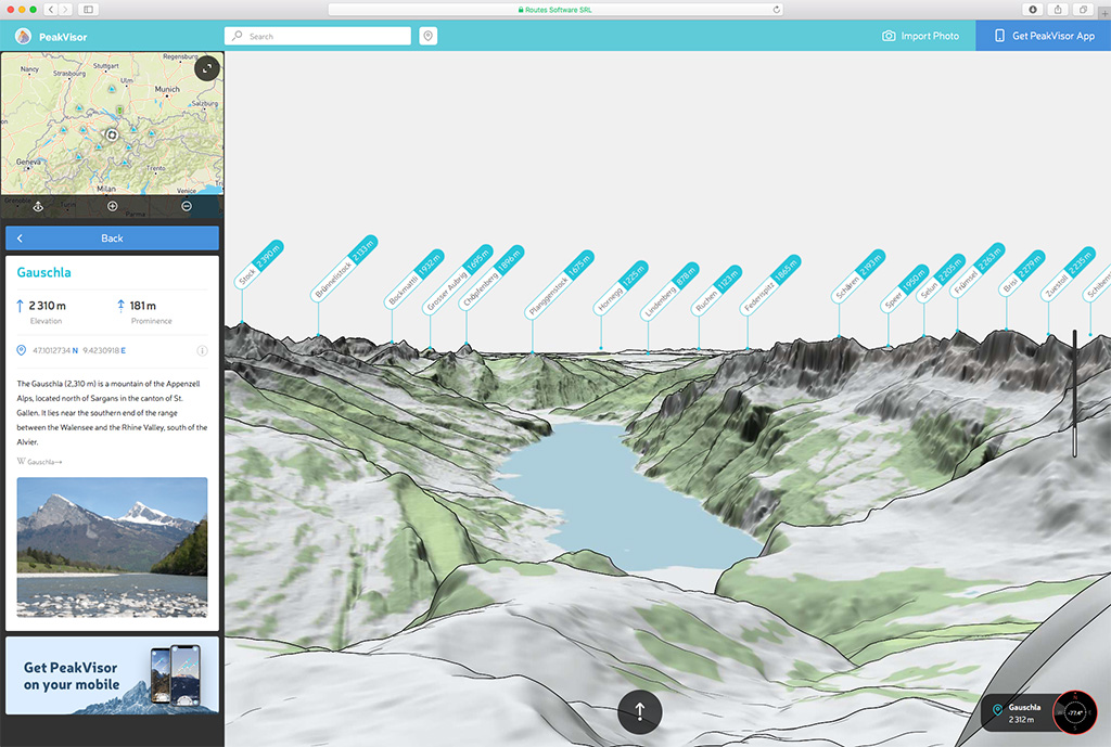
As you saw on the screenshot above PeakVisor Mountain Explorer got a significant facelift. Now it draws grass, forests, water surfaces, glaciers, and many other things.
Please let us know what do you think about these recent improvements. Send us an email at peakvisor@routes.tips. Your thoughts are very important to us!
If you haven’t read our previous note about mountains identification in PeakVisor Mountains Explorer then I encourage you to read it here, watch demo video, and try it on a couple of photos. It’s free!
That’s it for now. The weather is getting more and more summerish. It is time to get out and have some fun.