
Here at PeakVisor, we already have so much going for our maps. Users can upload GPX files to follow any route using the app. In 2020, we released our Custom Waypoints feature, where users can tag new waypoints directly on PeakVisor.
Our latest news is that PeakVisor is now supporting KML/KMZ files. These files began as Google’s proprietary file for their apps, used for storing geographical bookmarks on Google apps, including Google Earth. They are also used on numerous other sites like Maps.me, Gaia GPS, and Organic Maps. Sites like Bergfex and Trailforks also offer KML downloads in addition to GPX, although GPX files are more popular for complete routes.
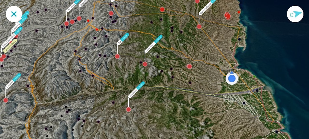
The ability to upload Custom Waypoints onto the 3D map had been one of our most requested features in 2020. Users can add waypoints for anything: trailheads, water sources and planned camping sites for backpackers, landing options for hang gliders, important reference points for trekkers, or spectacular photo spots for photographers, etc. Once a waypoint has been uploaded, users can add it to their wishlist, find routes to that point, or scope out the surrounding terrain on the 3D map.
The only issue was that many folks already had a cache of saved locations on another platform, i.e., Google Earth. Now, a user with a lifetime of saved waypoints on Google Earth can simply download a KMZ file and import it into PeakVisor. Getting started with a new app empty-handed can be intimidating, but now users can have all of their old favorites at their fingertips on PeakVisor.
How to Start Using KML/KMZ Files
Let’s briefly run through how to get started with KML/KMZ files.
- Open up the application where you have saved your waypoints (i.e., Google Earth, Maps.me). There will be a save feature - save the file as a KMZ if you have the option, or a KML (KMZ files contain multiple KML files into a single zipped file and are of higher quality).
- Google Earth doesn’t allow you to do this from the app on your mobile phone - you’ll have to use your desktop and then send the file to your mobile phone. Meanwhile, the popular mountain biking app Trailforks allows you to download KMLs right to your phone from the mobile app. In any case, once the file is on your mobile phone, simply open the PeakVisor app and go to Import → Import Trails or Bookmarks, then choose your new KML/KMZ file.
- Now that you’ve imported your new file, go to your profile tab, where your file will be in the Bookmarks folder (for waypoints) or the Saved Trails folder if your file already showcases a route (for example, you can download routes from Trailforks as a KML, which is quite similar to GPX).
- Once you’ve located your new waypoints in the Bookmarks folder, you can do all the awesome things that you’ve been able to do before on PeakVisor, including mapping routes to your desired waypoint or Teleporting and checking out the surrounding terrain on the 3D map with the Flyover feature.
As before, users can choose icons and colors for bookmarks. You can organize your markers into three categories: a star, a flag, or a bookmark. Users can shade every marker in one of nine colors. Red stars might signify your favorite places, while green flags indicate planned camping sites, etc. Moreover, PeakVisor preserves styles during your upload; your waypoints should appear on the map similarly if you’ve already customized them.
Usually, people organize their bookmarks into wish lists, points of interest, visited places, etc. Bookmarks appear in the app and your personal profile on the website if users want to manage them on a big screen.
At PeakVisor, we are always keen to hear your feedback on all of the app's features, whether new or old. If you have additional questions on KML/KMZ files or anything else regarding PeakVisor, consult the Tutorial or contact us directly.
Happy Trails,
The PeakVisor Team.