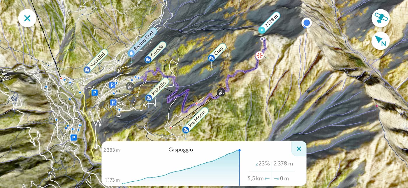
GPS Tracking is the most recent addition to the PeakVisor toolkit. This feature allows you to track hikes while measuring duration, distance, pace, and elevation gain along the way. Once you’ve conquered the desired destination, you can share and explore any of your tracks in 3D maps.

GPS tracking comes handy when you need to preserve all the details of your outdoor adventure. Be it for personal archive, sharing with friends, or for publishing on a blog, PeakVisor will help you to prepare ideal GPX tracks.
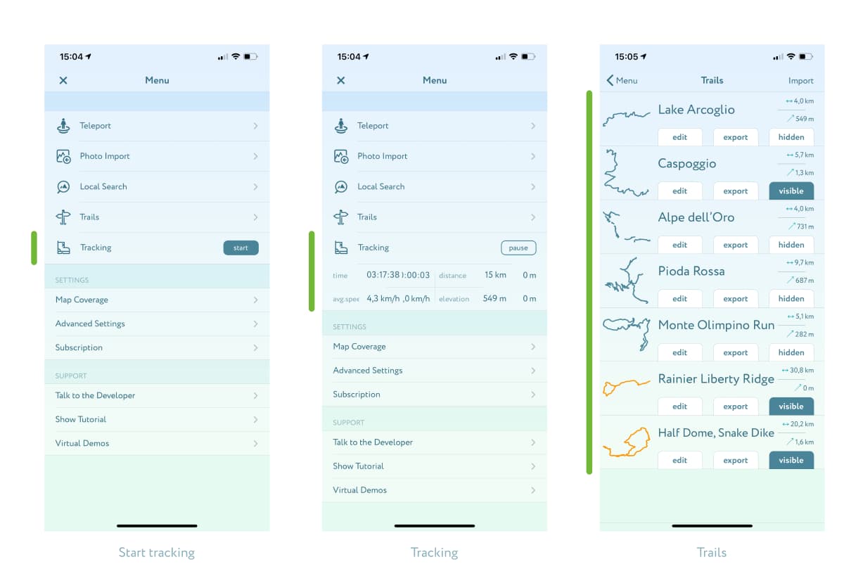
In order to start tracking your hike, simply tap the Start button in the main menu next to the stylish hiking boot icon. The app will expand real-time performance metrics: time, distance, average speed, and elevation gain. Thus, you can track all your achievements during the adventure. While hiking, you can pause and resume tracking as many times as you need.
Having completed the hike, just finish the track and find a proper name for it. All the saved tracks go into the Trails menu where you can see all route thumbnails and manage their visibility in 3D maps. Also, you can export your tracks in GPX format to use in many other applications, as well as import GPX tracks from others to see them in 3D maps.

Please note that GPS tracking might be energy consuming, especially on older devices, so we highly recommend taking a power bank on a hike.
Please try this newest feature and let us know how it goes. Would you like to see anything improved? Did you find it useful? Send us an email at peakvisor@routes.tips, we appreciate any feedback and are set on making our app even better.
