The summer 2018 is finally kicking off. Sunny weather with moderate temperatures is tempting and mountains are calling.
Being overly excited and too proud of the new features our team have reached peak performance! On Saturday, we released a new version with cool new features, on Monday we released critical bug fixes of crashes in the new version. That might have been it, but Monday night we started to receive emails that there were no mountain labels shown. Taking into account that mountain labels are the core feature of the app, it was a serious bummer. So, on Tuesday we released another critical bug fix, making everyone happy (hopefully).
Three releases in two working days! What a pace!
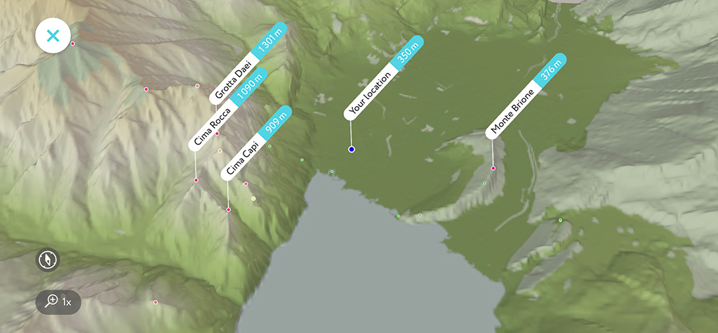
This week we are rolling out a new label positioning algorithm. It allows us to embed labels into 3D maps! Now you could see not only your position in 3D but all the mountain names around you. That might be especially useful while approaching a summit. It’s always handy to see a target and have a bird-eye view.

Another thing we wanted to let you know is that we published on the website some good information on mountain ranges and administrative regions. You might find it interesting getting mountain stats on a particular country, or a mountain subrange. Please have a look at the Alps page and the Switzerland peaks for example. Those interested in the US mountains, are welcome to visit the 14ers page and see the information on the most popular mountains there, all 77 of them.

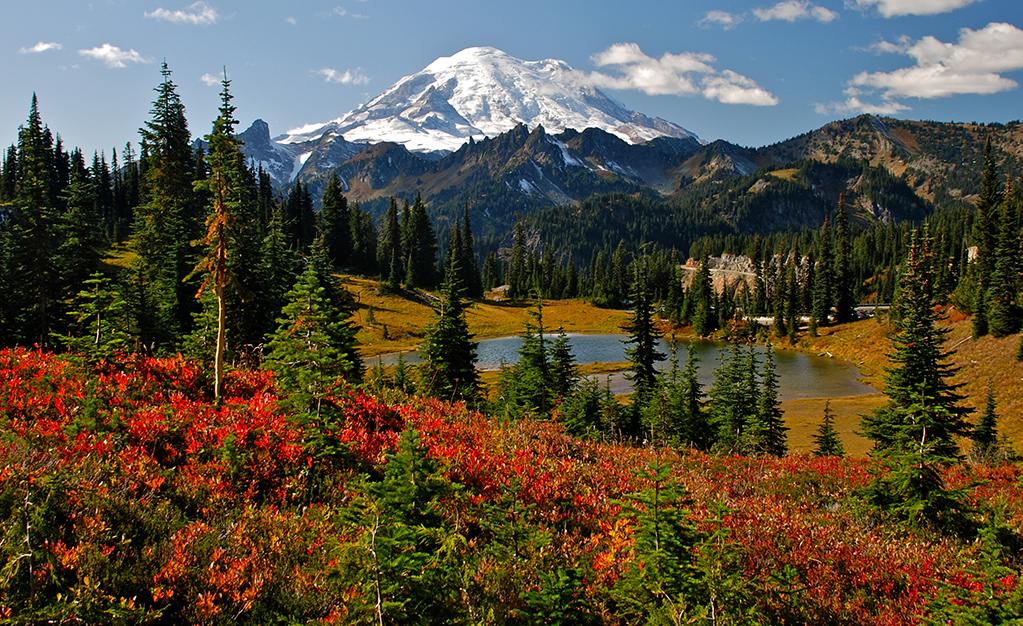
Mount Rainier - one of the most title-rich mountains in PeakVisor - it is volcano, it has a glacier, it is a 14er, in other words, it is a true ultra!
If you like what we do and would like to see PeakVisor getting better every day please write us a review on the App Store. This little gesture helps us a lot.
