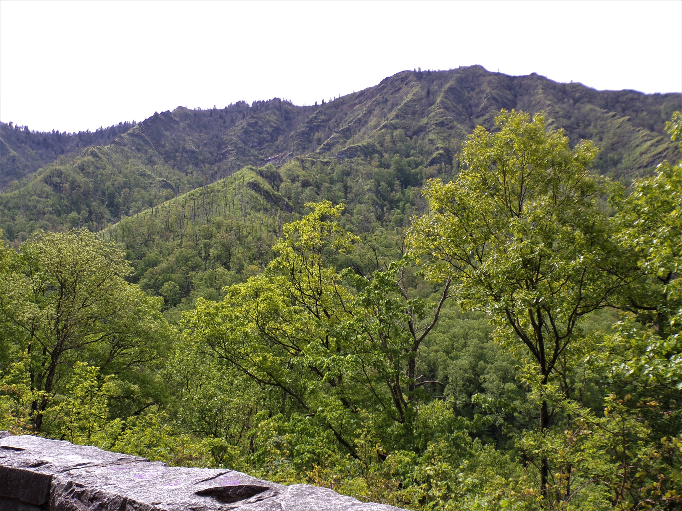
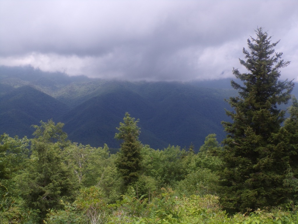
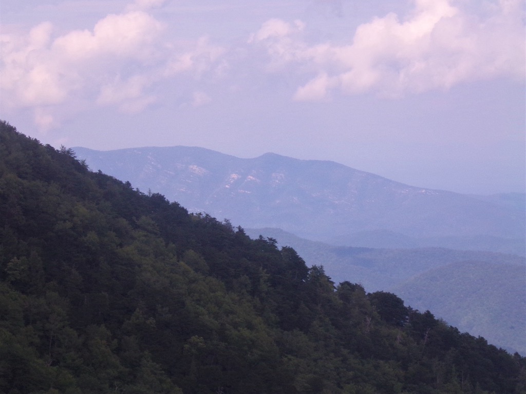
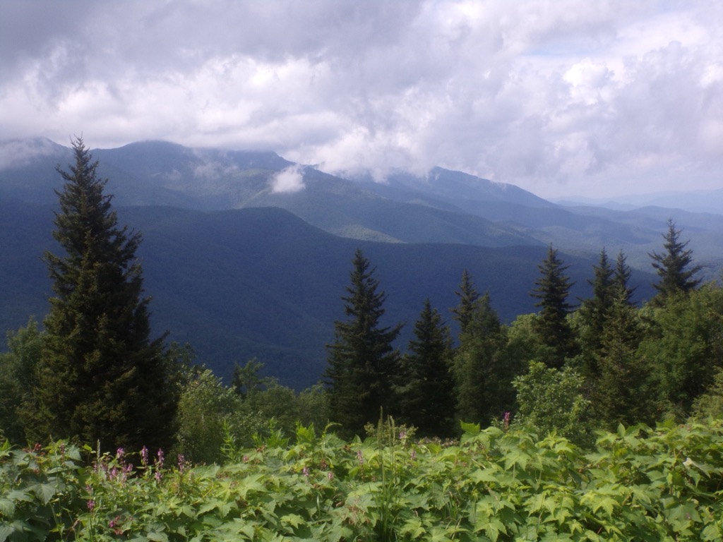
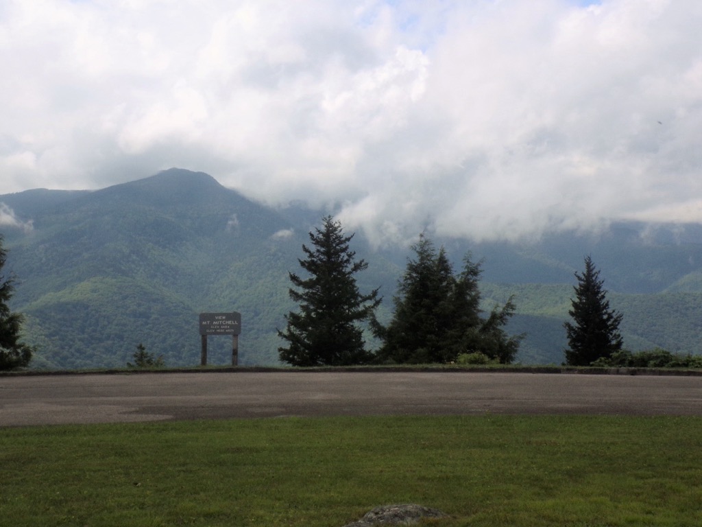
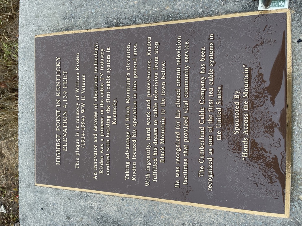
Black Mountain is the highest mountain peak in the Commonwealth of Kentucky, United States, with a summit elevation of 4,145 feet (1,263 m) above mean sea level and a top-to-bottom height of over 2,500 feet (760 m). The summit is located at approximately 36°54′51″N 82°53′38″W in Harlan County, Kentucky near the Virginia border, just above the towns of Lynch, Kentucky and Appalachia, Virginia. It is alternatively known as Katahrin's Mountain, and is about 500 feet (150 m) taller than any other mountain in Kentucky.
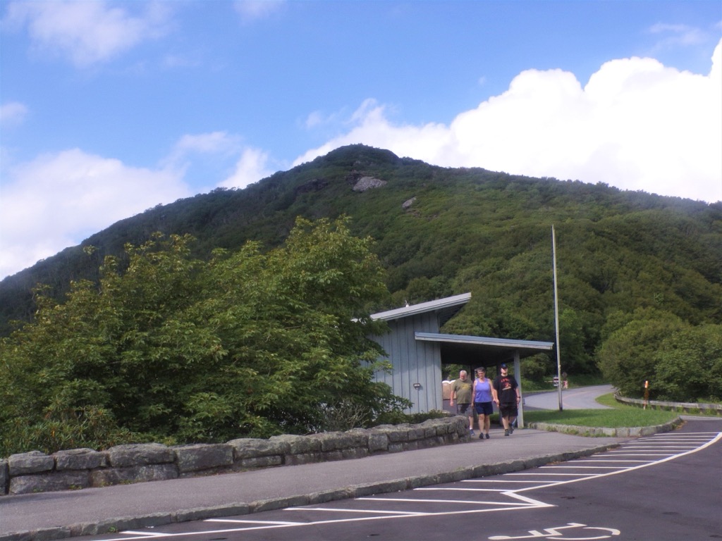
There's a trail leading to the summit.
By elevation Black Mountain is
# 1 out of 2057 in Kentucky # 1 out of 53 in Harlan County # 91 out of 8514 in the Appalachian Plateaus # 1 out of 678 in the Cumberland Mountains
By prominence Black Mountain is
# 1 out of 2057 in Kentucky # 1 out of 53 in Harlan County # 6 out of 8514 in the Appalachian Plateaus # 86 out of 39823 in the Appalachian Mountains # 2 out of 678 in the Cumberland Mountains
We use GPS information embedded into the photo when it is available.
3D mountains overlay
Adjust mountain panorama to perfectly match your photos because recorded by camera photo position might be imprecise.
Move tool
Rotate tool
Zoom
More customization
Choose which peak labels should make into the final photo and what photo title should be.
Next
Photo Location
Satellitte
Flat map
Relief map
Latitude
Longitude
Altitude
OR
Latitude
°'''
Longitude
°'''
Apply
Register Peak
Peak Name
Latitude
Longitude
Altitude
Register
Teleport
PeakVisor
This 3D model of Sagarmatha National Park in Nepal was made using the PeakVisor app topographic data. The mobile app features higher precision models worldwide, more topographic details, and works offline. Download PeakVisor maps today.
Download OBJ model
PeakVisor
The download should start shortly. If you find it useful please consider supporting the PeakVisor app.
PeakVisor for iOS and Android
Be a superhero of outdoor navigation with state-of-the-art 3D maps and mountain identification in the palm of your hand!


.jpg)


