Scan the QR code and open PeakVisor on your phone
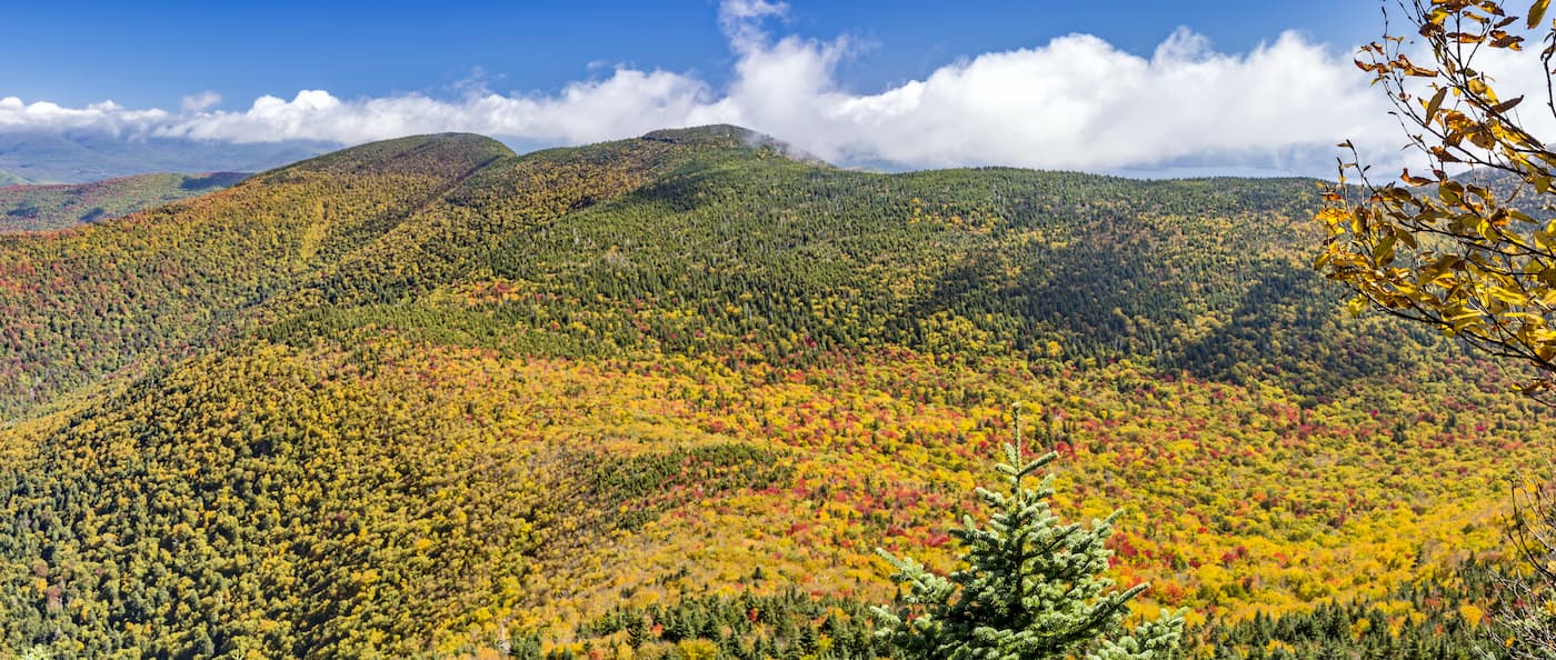
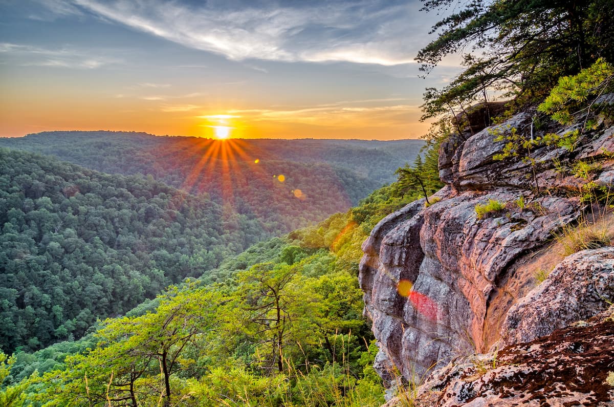
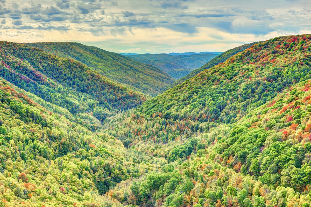
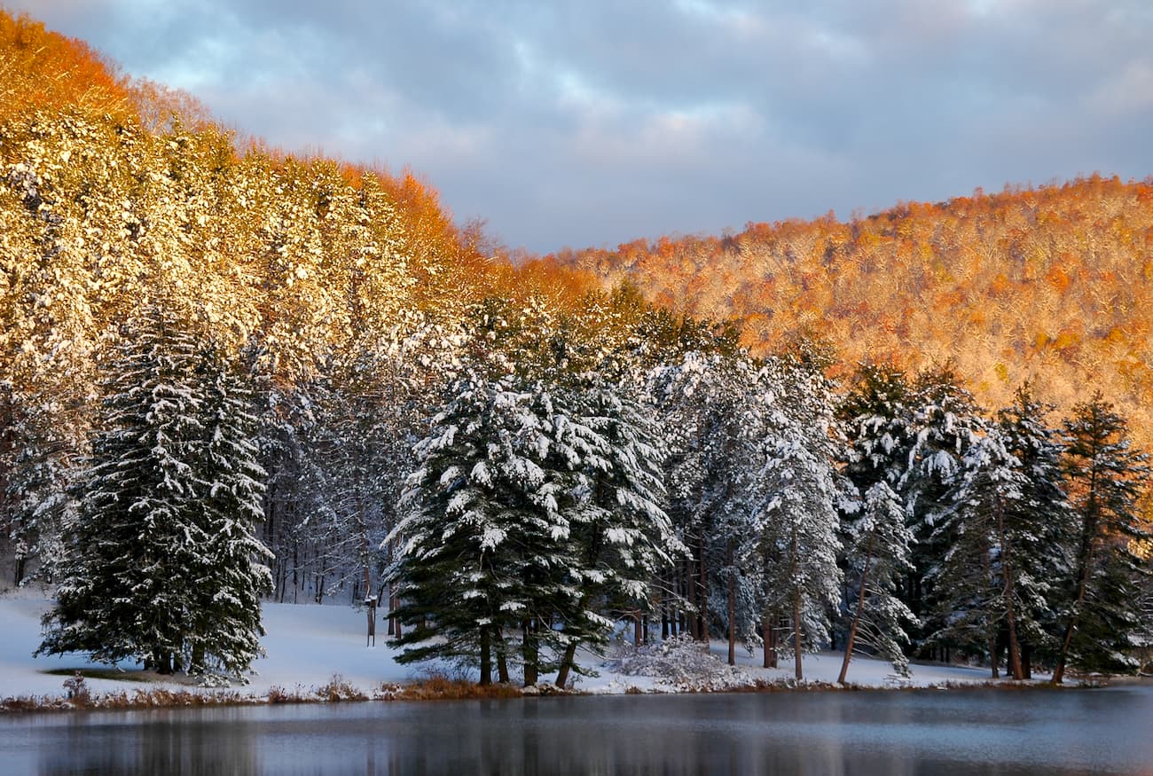
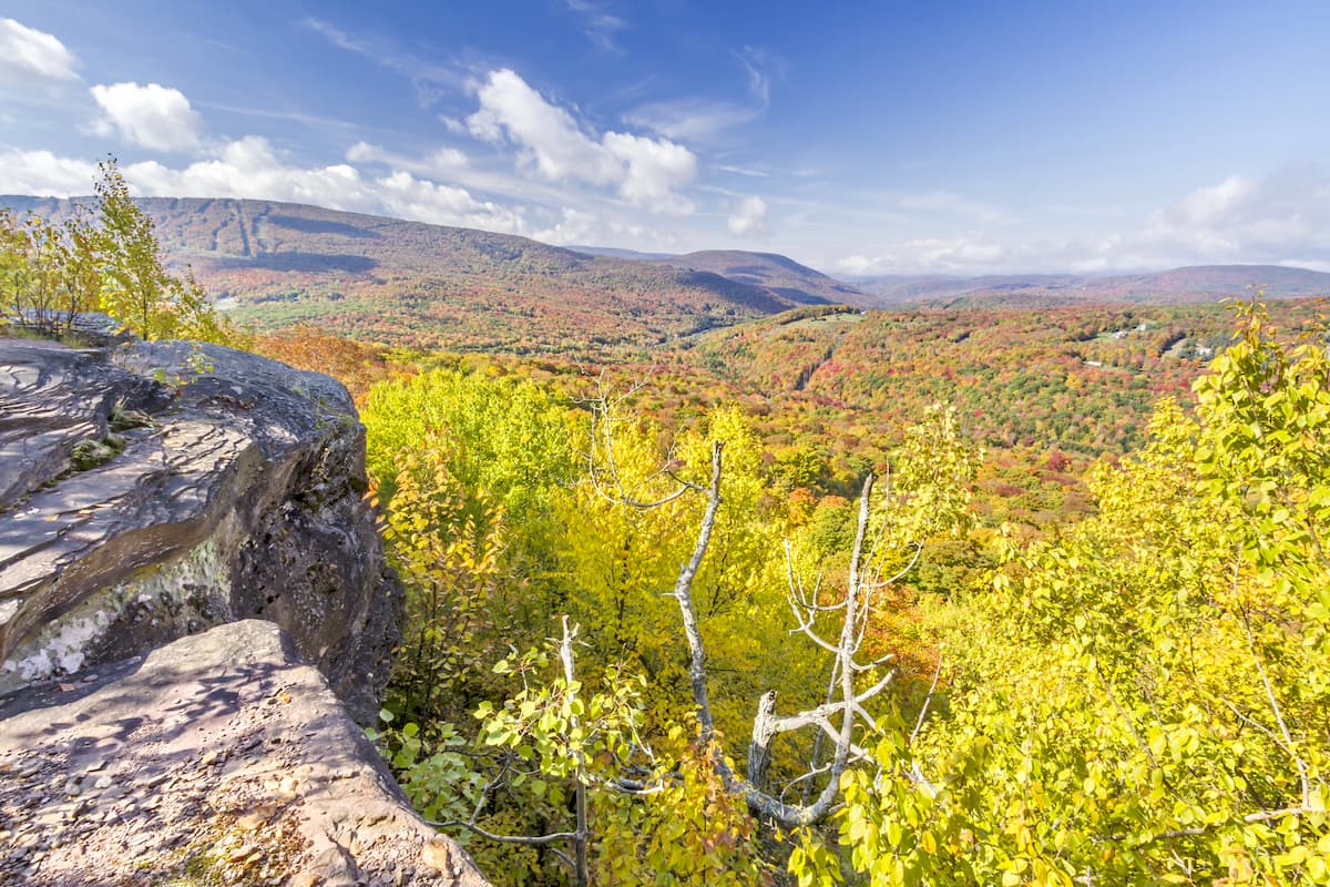
Home to rugged terrain and dense forests, the Appalachian Plateaus is a series of mountain ranges and dissected plateaus located in the eastern part of the United States. The range contains 5,797 named mountains, the highest of which is Thorny Benchmark (4,852ft/1,479m), and the most prominent of which is Slide Mountain (4,183ft/1,275m).
The Appalachian Plateaus cover a wide swath of land in the eastern United States. This region includes parts of the states of Alabama, Georgia, Tennessee, Kentucky, Virginia, West Virginia, Maryland, Pennsylvania, and New York, where it terminates just south of the US' border with Canada near Ontario.
In fact, the Appalachian Plateaus is a subrange of the greater Appalachian Mountains, which stretch from the state of Alabama to the south, all the way to the province of Newfoundland and Labrador in Canada.
It is surrounded by other subranges, including the Piedmont-Southeast Coast ranges, which are located to the south, southeast, and southwest. To the east lie the Appalachian Ridges, the Blue Ridge Mountains, Reading Prong, and the Taconic Mountains, all of which separate the Appalachian Plateaus from the Atlantic Ocean.
Meanwhile, the Adirondack Mountains are located just north of the Appalachian Plateaus and the Ozark Highlands are situated to the west.
Within the Appalachian Plateaus, there are a number of major subranges, protected regions, and outdoor recreation areas. Here are some of the most important areas and subranges within the range, broken down by state.
Alabama is home to the southernmost extent of the Appalachian Plateaus. Within the state, the terrain is hilly, rather than jagged and mountainous, though there are some excellent outdoor recreation opportunities. The majority of the mountains within the Appalachian Plateaus region of the state are part of the Cumberland Plateau.
Major protected areas within the region include:
Wheeler National Wildlife Refuge
Cathedral Caverns State Park
While most of the Appalachian Mountains in Georgia are part of the Appalachian Ridges and the Blue Ridge Mountains, a small section of the Appalachian Plateaus covers the northwestern corner of the state. Here, the mountains are mostly part of the Cumberland Plateau subrange.
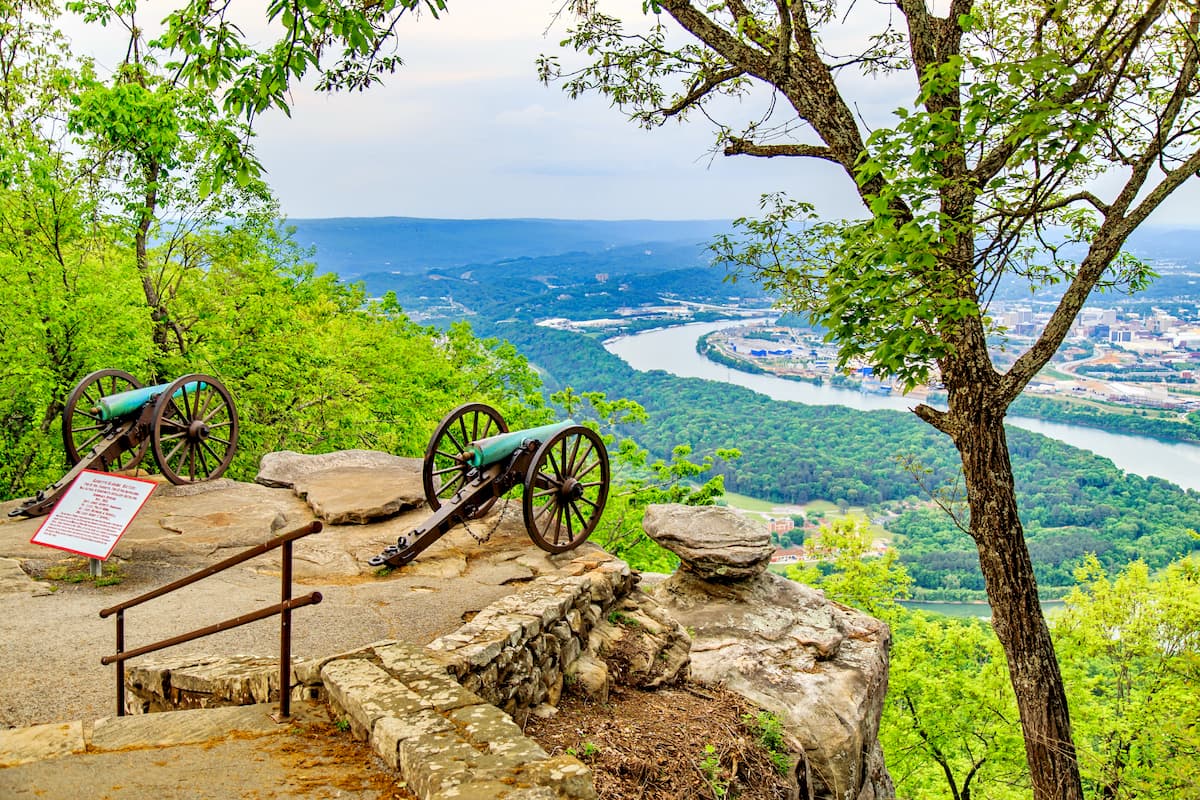
There are a few recreation areas in the Appalachian Plateaus region of Georgia, including Cloudland Canyon State Park and Chickamauga and Chattanooga National Military Park.
Tennessee is a highly mountainous state that's home to both the Cumberland Mountains and the Cumberland Plateau subranges of the Appalachian Plateaus. While the easternmost portion of the state is part of the Blue Ridge Mountains and the Appalachian Ridges, the central and western parts of Tennessee are mostly dominated by the Plateaus.
Within the Appalachian Plateaus region of the state, there are some very popular outdoor recreation destinations, including:
Cumberland Gap National Historical Park
Lone Mountain State Forest
Fall Creek Falls State Park
For the most part, the peaks of the Bluegrass State are situated within the Appalachian Plateaus. These mountains are part of 2 key subranges, the Cumberland Mountains and the Cumberland Plateau.
In fact, there are some sizable and popular outdoor recreation areas located within the state's Appalachian Plateaus region, including:
Taylorsville Lake State Park
Although much of Virginia's mountainous regions are part of the Blue Ridge Mountains and the Appalachian Ridges, a small sliver of the southwestern corner of the state lies within the Cumberland Mountains and the Appalachian Plateau.
Popular outdoor destinations in this area include Jefferson National Forest, Big Cherry Reservoir Park, and Flag Rock Recreation Area.
Aptly named, the “Mountain State,” or West Virginia, contains over 1,000 named mountains, most of which are part of the Allegheny Mountains subrange of the Appalachian Plateaus.
Here, there are a number of major federally-managed recreation areas, including:
Canaan Valley National Wildlife Refuge

West Virginia also has a great network of state parks and forests located within the Appalachian Plateaus region, such as:
Camp Creek State Forest
Pipestem Resort State Park
Twin Falls Resort State Park
Calvin Price State Forest
Watoga State Park
Holly River State Park
Canaan Valley Resort State Park
In general, the peaks of Maryland are part of the Appalachian Ridges and Blue Ridge Mountains ranges. However, a very small section of the western panhandle of Maryland is part of the Allegheny Mountains and the Appalachian Plateaus.
This area is home to a handful of recreation destinations, including:
Garret State Forest
Youghiogheny River Natural Environment Area
Savage River State Forest
Pennsylvania is a highly mountainous state, with hundreds of peaks that are part of both the Allegheny Mountains and the Allegheny Plateau subranges of the Appalachian Plateaus. While the Appalachian Ridges cover the eastern portion of the state, the western and central sections are included within the Plateaus.
There are dozens of protected areas within the Appalachian Plateaus region of Pennsylvania, such as:
Quebec Run Wild Area
Sizerville State Park
Lackawanna State Forest
Home to the northernmost extent of the Appalachian Plateaus, New York contains the northern edge of the Allegheny Plateau as well as the Catskill Mountains to the east. The state is highly mountainous and contains many protected areas within the Plateaus region, which include:
Finger Lakes National Forest
Letchworth State Park
Shandaken Wild Forest
Technically speaking, the Appalachian Plateaus are a physiographic and geological province within the Appalachian Mountains.
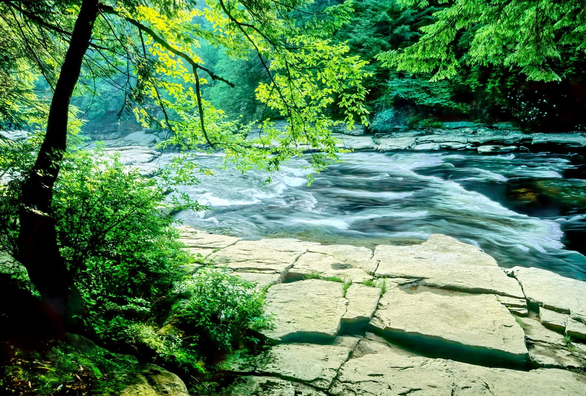
The range is actually a series of dissected plateaus, which means that they've experienced significant erosion. This makes them different from mountain chains that formed as a result of orogenic forces, which generally result in faulting, magmatic activity, and/or metamorphism.
There are actually a number of dissected plateaus within the US, many of which are located in the Appalachian Plateaus, such as the Cumberland Plateau, the Allegheny Plateau, and the Catskill Mountains. Other dissected plateaus located around the world include Australia's Hornsby Plateau and Blue Mountains.
The Appalachian Plateaus province formed as a result of uplift during the Cenozoic, which helped spur the movement of large streams in the area. These streams and rivers then carved out the dissected plateaus that we see today through their erosive power.
For the most part, the Appalachian Plateaus are composed of Paleozoic-age sedimentary rocks, which include shales, sandstones, and conglomerates. There are also sizable beds of coal throughout this province, which has had a major impact on the economy and culture of the entire Appalachian Plateau region.
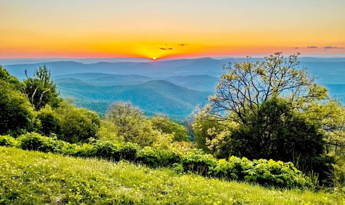
As a result of their large geographic area, the Appalachian Plateaus contain a number of ecoregions, each with their own unique flora and fauna. Here are some of the major ecoregions within the range.
Covering much of the southern and central part of the Appalachian Plateaus, this ecoregion is considered a temperate broadleaf and mixed forest region located to the west of the main crest of the Appalachian Mountains.
There are a number of sub-ecoregions in this area, though most of them exhibit a humid continental or a humid subtropical climate, with warm to hot summers and year-round precipitation.
These forests are among the most biologically diverse of the world's temperate ecoregions, with dozens of tree species located in a single area. However, a substantial portion of the ecoregion, which contains species such as sugar maple, oaks, walnut, hemlock, ash, sweetgum, cedars, pines, hickories, and the like, has been affected by logging.
While there are still small areas of contiguous forest, most of the region's habitat is highly fragmented due to logging, mining, agriculture, and other similar activities.
Located in the northernmost part of the Appalachian Plateau, the aptly named Northern Appalachian Plateau and Uplands ecoregion is situated along the border of New York and Pennsylvania.
It is often considered to be a transitional ecoregion between the southerly Appalachian forests and the more mountainous regions to the north. This ecoregion has also experienced substantial amounts of clear-cutting, due to the heavy reliance on agriculture in the region's economy.
In the forested regions that remain, there are mostly oak and northern hardwoods woodlands. Nearby, there are large farms and pastures, much of which are used for the raising of dairy cattle or the growing of hay and other grains.
Interestingly, the Appalachian Plateaus are home to the southernmost extent of the Northeastern Highlands ecoregion.
This ecoregion extends throughout the northeastern United States, including the western part of Maine, most of New Hampshire and Vermont, western Massachusetts and Connecticut, as well as the Adirondack Mountains and the Catskill Mountains in New York.
Within this region, the land is heavily forested, though most of the woodlands are second or third growth due to the area's history of logging. Most of the forests in the area are typical of northern hardwood ecosystems, including a mix of maple, birch, and beech, as well as some spruce at higher elevations.
The area in and around the Appalachian Plateaus has been home to countless groups of humans for thousands of years. While numerous groups lived throughout the region before the arrival of European colonizers, some of the most prominent include the Chickasaw, Yuchi, Shawnee, Cherokee, Adena, Hopewell, Osage, Moneton, Calicuas, Tutelo, Massawomeck, Osage, Susquehannock, Erie, and Haudenosaunee.
Compared to some of the more coastal areas of the eastern United States, the Appalachian Plateaus region was settled by non-Indigenous peoples much later, toward the middle of the 18th century. Indeed, the main crest of the Appalachian Mountains formed a major barrier to overland travel, which had, for the most part, prevented westward colonization and settlement.
While the native peoples in the region had long known about the Cumberland Gap, the “discovery” of the gap by European-Americans in the mid-18th century paved the way for greater settlement in the region.
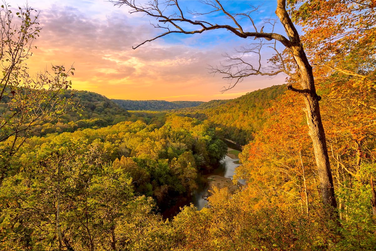
Throughout the Appalachian Plateaus, the economy has long been driven by agriculture, logging, and mining. Coal mining, in particular, has historically been incredibly economically important to the region, which is rich in natural resources. In addition to coal, limestone and iron ore are both mined in the area.
That being said, the creation of state and national parks, forests, and recreation areas has helped increase tourism in the region. These days, outdoor recreation is highly popular throughout the Appalachian Plateaus, particularly hiking, rock climbing, whitewater rafting, hunting, and fishing.
There are dozens of excellent parks and recreation areas in the Appalachian Plateaus. Here are some of the best places to check out:
Situated in the central part of Kentucky, Mammoth Cave National Park is home to the longest known cave system in the world. It also contains 5 named mountains, the highest and most prominent of which is Brooks Knob.
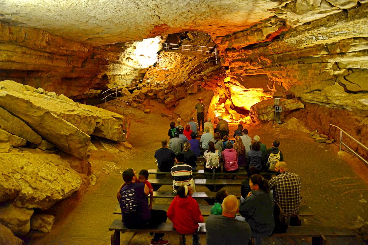
Although the highlight of the park for many visitors are the below-ground cave ranger-led tours of the River Styx, Frozen Niagra, and Mammoth Passage, there are also 60 miles (96.6km) of trails in Mammoth Caves for you to check out during your visit.
Jefferson National Forest is located along the borders of Virginia, West Virginia, and Kentucky. The forest contains 320 named peaks, the highest of which is Mount Rogers, and the most prominent of which is Apple Orchard Mountain.
Although much of the Jefferson National Forest is located within the Blue Ridge Mountains, the westernmost section contains peaks of the Appalachian Plateaus. There are hundreds of miles of hiking trails in Jefferson National Forest and its sister forest, George Washington National Forest.
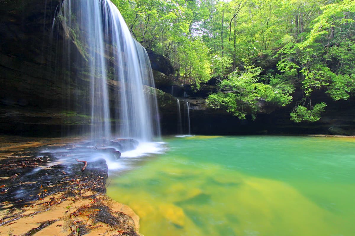
William B. Bankhead National Forest is a small national forest located in northern Alabama. It is home to 20 named mountains, the highest of which is Penitentiary Mountain and the most prominent of which is Millstone Mountain.
The forest contains sections of the Sipsey River, which is a National Wild and Scenic River. It also contains dozens of waterfalls, as well as excellent hiking, canoeing, boating, fishing, and horseback riding opportunities. There are also some spectacular petroglyphs, rock carvings, and other remnants of the region's rich Indigenous history within the forest.
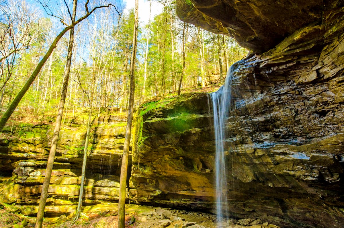
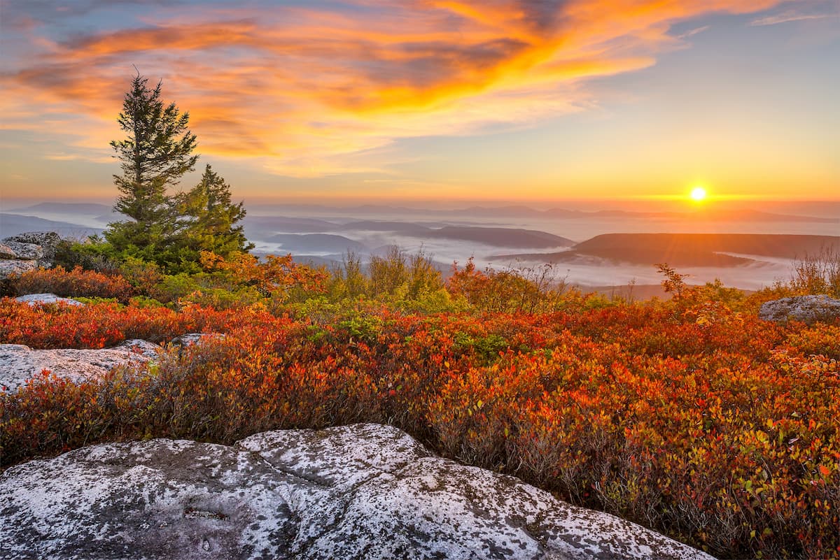
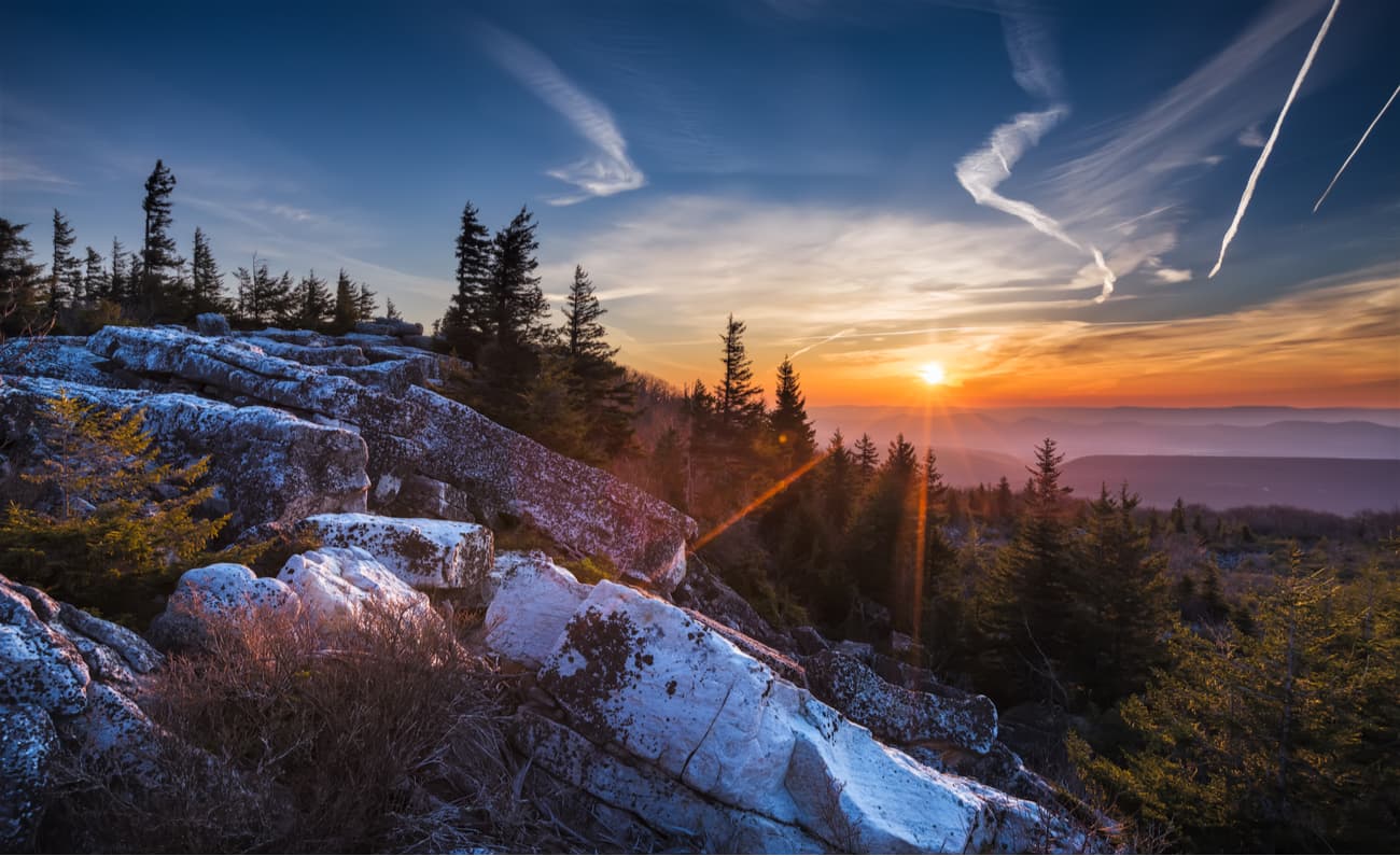
Located along the eastern edge of West Virginia, Monongahela National Forest is a large federally-protected area within the Appalachian Plateaus. It covers some 2,656 square miles (6,880 sq. km) of land, and contains 1,919 named mountains, the highest and most prominent of which is Thorny Benchmark.
The forest is known for its dense woodlands and its large expanses of natural land. There are 8 wilderness areas within Monongahela National Forest, including:
Big Draft Wilderness
Cranberry Wilderness
Laurel Fork North Wilderness
Laurel Fork South Wilderness
Otter Creek Wilderness
Roaring Plains West Wilderness
Spice Run Wilderness
Moreover, the Spruce Knob-Seneca Rocks National Recreation Area is located within the forest. Within Monongahela, there are over 825 miles (1,327km) of trails, which are perfect for outdoor adventure.
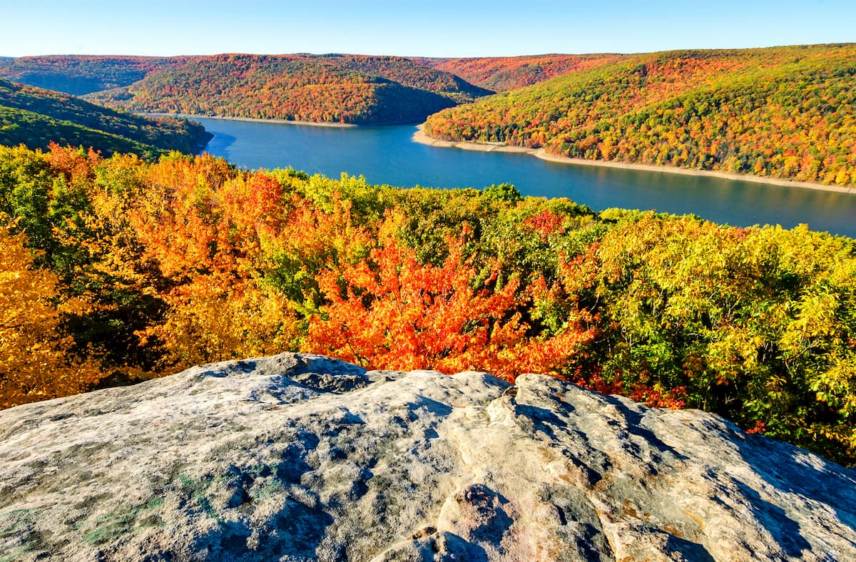
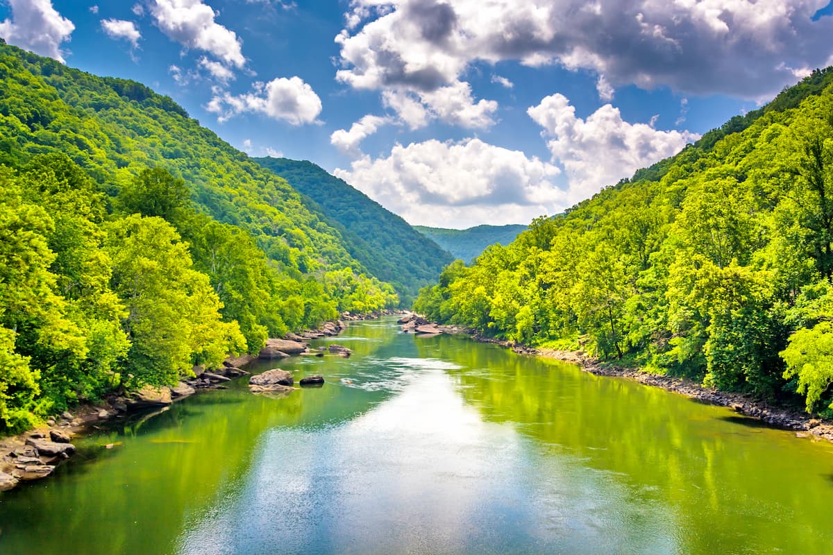
The New River Gorge National River is a federally protected region in southern West Virginia that was originally designed to protect the New River Gorge. Within the park, there are 7 named mountains, the highest of which is Swell Mountain, and the most prominent of which is Stretcher Neck.
The park contains some of the best whitewater rafting in the eastern United States as well as over 1,000 rock climbing routes. Due to its small size, hiking is somewhat limited in the park, but there are over 50 miles (80km) of trails to choose from, as well as 4 camping areas.
Encompassing a large swath of northwestern Pennsylvania, Allegheny National Forest is one of the largest areas of federally-managed land in the state. It contains 11 named mountains, the highest of which is Cherry Hill and the most prominent of which is Bull Hill.
Historically, Allegheny National Forest was heavily wooded, with large stands of sugar maple, chestnut, pine, oak, and birch. However, it was heavily logged over the centuries until the establishment of the forest in 1923.
Although mining and logging are still allowed by permit within the forest, it is also a major outdoor recreation area in the state. There are hundreds of miles of trails in the forest as well as developed campgrounds for visitors to enjoy.
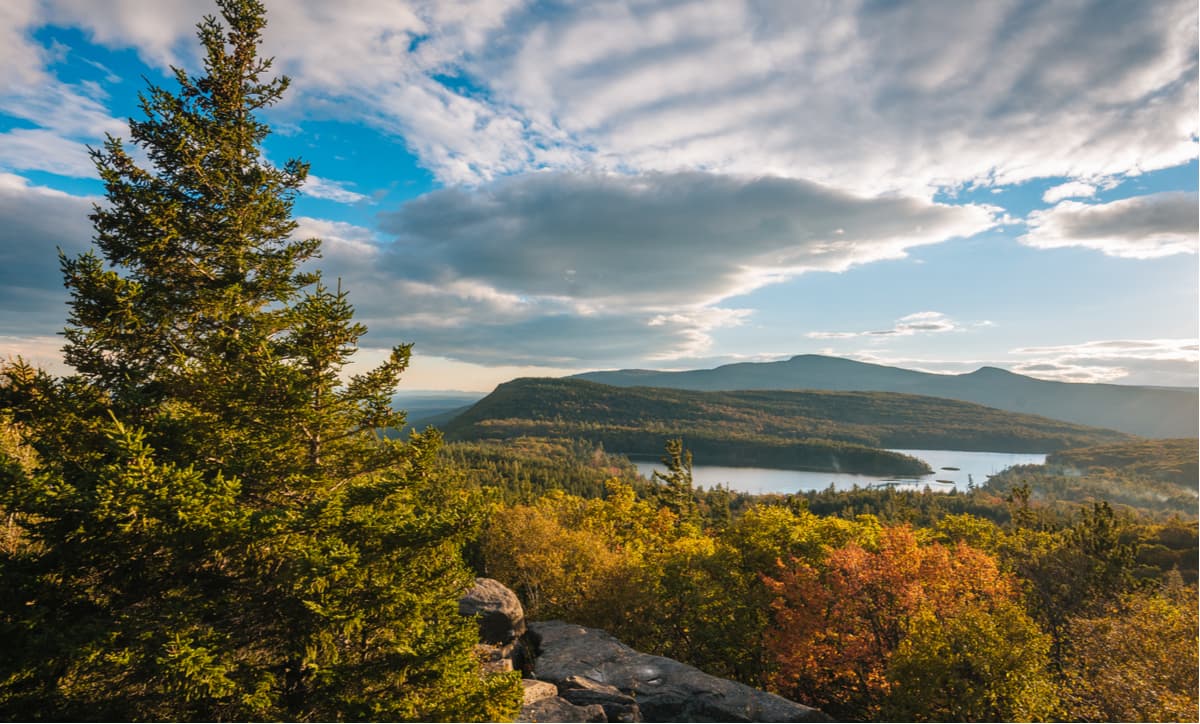
Catskill State Park is one of the largest parks in New York state. It contains 700,000 acres (280,000ha) of land and nearly 100 named peaks, the highest and most prominent of which is Slide Mountain.
Interestingly, the park is actually a patchwork of public and private land, about 41% of which is managed as a state Forest Preserve and is considered “Forever Wild.” There are dozens of hiking trails in the park, as well as plenty of great trout fishing streams. The park is a particularly popular destination for people from the New York City area, which is just a short drive away.
The Appalachian Plateaus are located within driving distance from some sizable cities in the eastern United States. Here are some of the best places to visit during your trip.
New York City is the largest and most densely populated city in the state of New York and in the United States. It is located near the northern edge of the Appalachian Plateaus and is home to about 8.3 million people.
The city is a major center for commerce, culture, finance, arts, education, tourism, sports, and politics. Within the greater New York City region, there are 3 major international airports, as well as good road, train, and bus access to the surrounding area.

Pittsburgh is located in the western part of the Appalachian Plateaus region. It is the second largest city in the state of Pennsylvania with about 300,000 residents. The city has long had a strong economy built on steel production and manufacturing, though it is now becoming a center for culture, commerce, research, and medicine in the region.
Pittsburgh has a major international airport, plus great road access to the northwestern Appalachian Plateaus.

Charleston is the capital and largest city of West Virginia with some 46,000 residents. The city is located just west of the central Appalachian Plateaus and it is a major center for the state's economy.
It has the largest airport in West Virginia as well as great rail access to the rest of the eastern United States. Charleston is also located along some of the region's major highways, which provide good access to the mountains.

Chattanooga is the fourth largest city in Tennessee, with some 182,000 residents. It is situated at the intersection of multiple major highways and it is a good transit hub for the southern Appalachian Plateaus. The city has become more and more popular among outdoor recreationalists in recent years, partly spurred by the area's great rock climbing opportunities.