Scan the QR code and open PeakVisor on your phone
Monongahela National Forest is a vast, 1,439-square mile national forest along the eastern border of West Virginia. It includes eight wilderness areas encompassing more than 230 named mountain peaks with more than 800 miles of hiking trails, making it one of the largest national forests east of the Mississippi River.
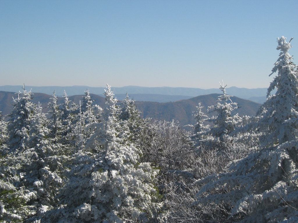
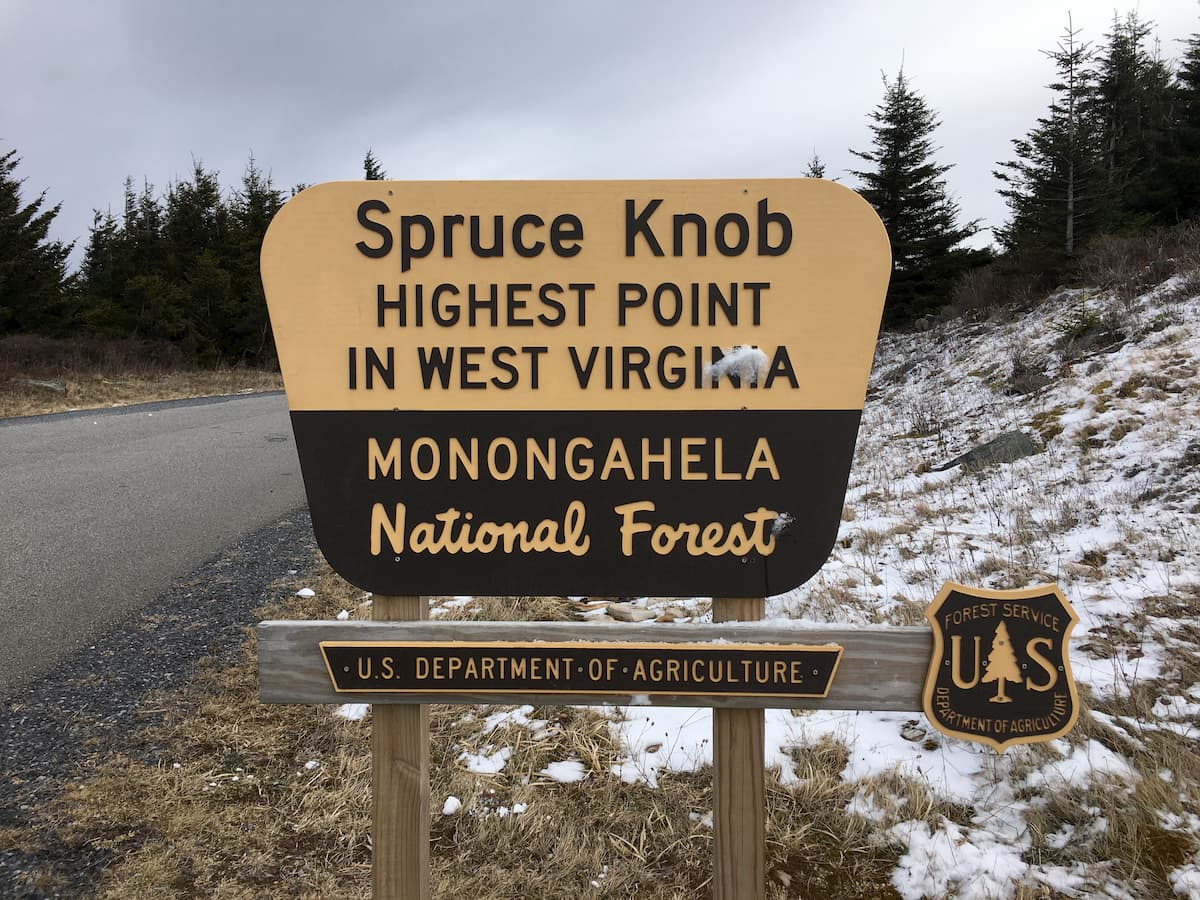
As one of the most ecologically diverse regions in the United States, Monongahela National Forest is a favored destination for hiking, camping, mountain biking, horseback, and plenty other outdoors activities. Visitors will also find plenty of lakes and rivers for fishing, boating, swimming, and even some winter park activities. The highest and the most prominent mountain in the Forest is Spruce Knob, which is also the highest point in West Virginia.
Running northeast through the Allegheny Mountains, Monongahela National Forest straddles West Virginia’s eastern border, where it connects with the George Washington National Forest of northwest Virginia.
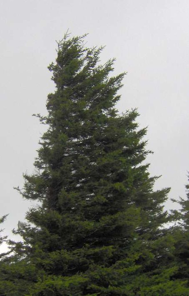
The protected lands are rich with plant and animal life, including some 75 different tree species, the most common of which are red spruce, balsam fir, and mountain ash. Nearly all of the forestland is second-growth forest, meaning it is re-grown after widespread timber harvesting in the early 20th century. The Nature Conservancy considers the region to be an area of global ecological importance due to its biological diversity.
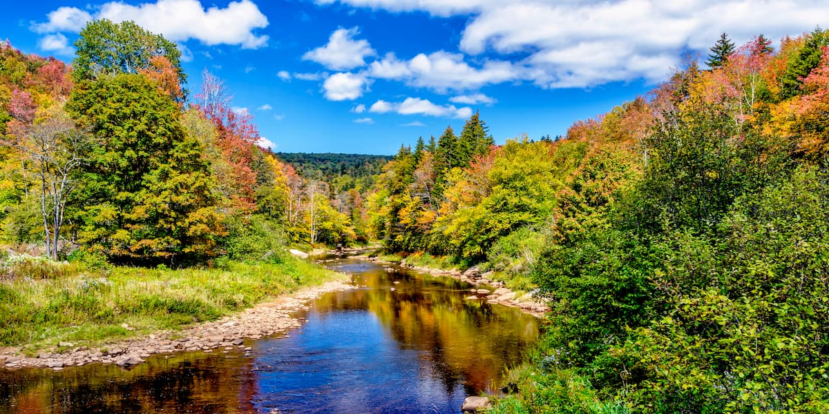
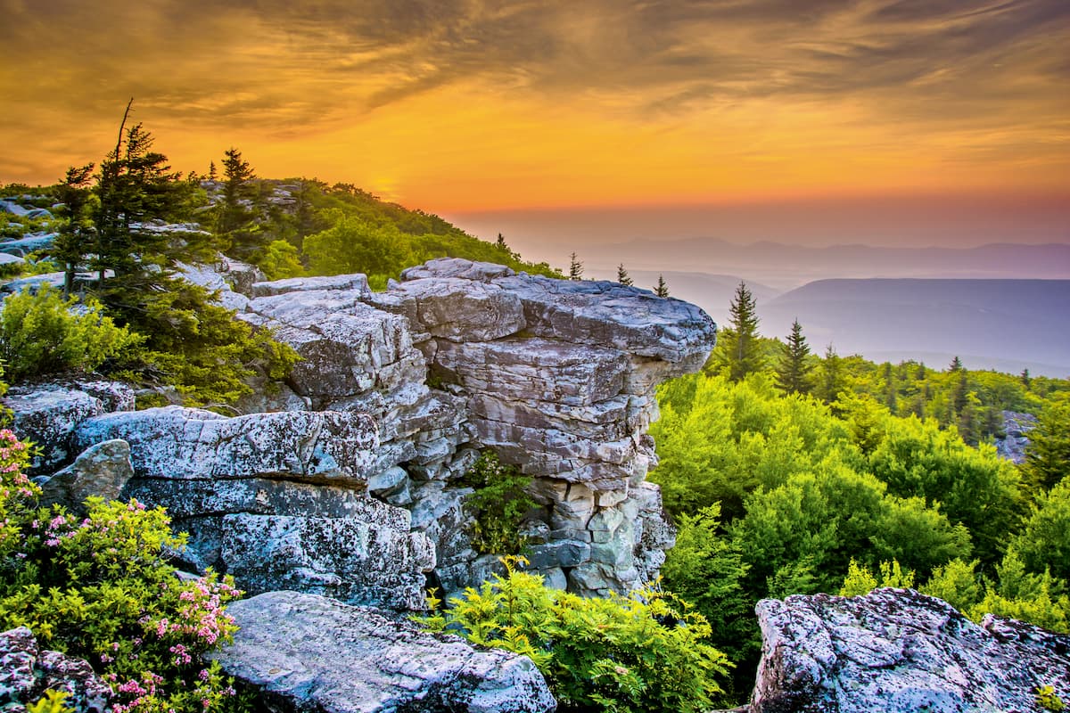
The wider Appalachian region is considered a critical source of biodiversity thanks to its variety of ecosystems, and Monongahela Forest is no different. Its protected wildernesses feature a number of landscapes and geological structures to explore, such as caves, freshwater springs, ancient landslides, escarpments, waterfalls, and fossils. Elevations vary greatly, with the lowest peak summiting just 900 feet, which compares to the 4,863-foot peak of Spruce Knob.
The story of Monongahela National Forest began in 1911 with an effort to protect parts of the greater Allegheny watershed after years of timber clearcutting. A few years later, 7,200 acres of forestland were purchased and set aside for forest restoration. The forest itself was not federally incorporated until 1920, but by 1924 it already claimed some 150,000 acres of forest and mountain lands. Today the forest covers more than 920,583 acres of the West Virginia highlands.
Throughout its history, Monongahela National Forest has been the site of several preservation efforts. White-tail deer were reintroduced to the region in the late 1930s, having been nearly wiped out through hunting- and logging-related habitat destruction, eventually regaining their healthy, pre-logging numbers. Similarly, fisher cats were reintroduced in the late 1960s after being nearly exterminated.
Monongahela Forest is separated into four ranger districts: Cheat-Potomac in the northwest section of the forest, Gauley to the southwest, Greenbrier to the east along the Virginia border, and Marlinton-White Sulphur Springs to the southeast, also along the Virginia border.
There are a few ways to tackle the park’s main attraction: the Spruce Knob. One of the most popular routes is moderately difficult but quite lengthy. The 11.2-mile out-and-back Huckleberry Trail can be accessed off Forest Road 112 near Simoda; it traverses fields of wild flowers, moss coverings, and dense forest land before reaching the peak of the Spruce Knob. While lengthy, the steady incline ensures a hike of only moderate difficulty.
While the Huckleberry Trail is the only hiking trail that leads directly to the summit of Spruce Knob, you can access the peak from the opposite direction via forest roads. The Back Ridge Shadows campground off Woodlands Way will connect you to The Low Road trail, which travels northeast for about a half-mile before veering east and stretching another mile before connecting with Forest Road 112. Travel east along the ridge before reaching Forest Road 104, which will take you to the top of Spruce Knob.
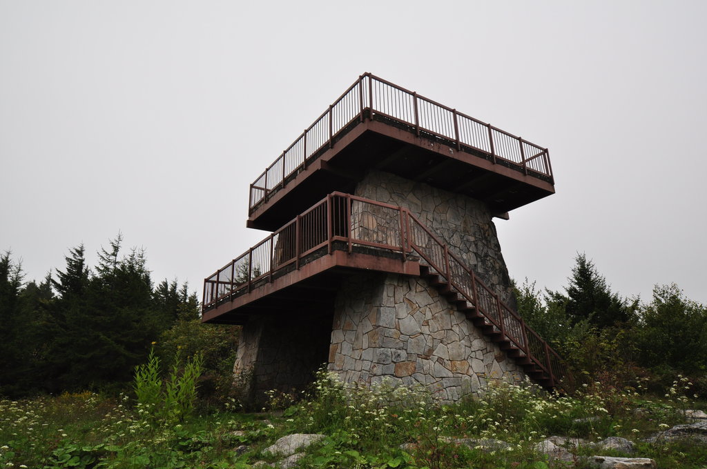
If it’s just the views you’re after, the Spruce Knob peak can be reached with a mere 0.6 mile loop off Forest Road 104, which, if you’re driving, covers most of the elevation for you. Just take the Whispering Spruce Trail loop from the parking lot and you’ll be at the peak in no time.
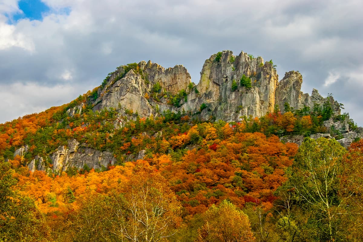
While Spruce Knob is the highest point in West Virginia, it’s not necessarily the most highly trafficked. Further north, the 2.7-mile Seneca Rocks Trail offers a moderately difficult, looped excursion with beautiful views of the Allegheny range. The occasionally steep trail summits the 2,421-foot Seneca Rocks mountain and can be accessed from the tiny mountain town of Seneca Rocks, which itself is a launching point for hundreds of trails in the region.
One of the most popular destinations for novice hikers or new visitors to the forest is the Falls of Hills Creek Scenic Area. The scenic area can be found along the southern edge of the Gauley ranger district, just off the Highland Scenic Highway. The area is planted within a narrow gorge, and features more than 100 acres of forestland, including views of three waterfalls with hiking trails connecting each of them. The roundtrip will take about an hour.
If you’re looking for a longer and slightly more difficult hike, the High Falls Trail covers 7.7 miles of lightly trafficked trails without summiting any of the major peaks. The trail is out-and-back, but it takes you to the foot of an impressive waterfall.
For another out-and-back trail with a more strenuous but brief climb, consider the Hoye-Crest. The two-mile trek can be accessed off Route 219, and features a steady incline that eventually summits the 3,360-foot peak of Backbone Mountain—just past the border in Maryland.