
Scan the QR code and open PeakVisor on your phone
Situated in the southeastern region of the United States, Georgia, the ‘Empire State of the South,’ covers more than 59,000 square miles, making it the largest state in land area east of the Mississippi River.
The state is a varied landscape and contains several unique geographical regions including portions of the Ridge-and-valley Appalachians in the northwest, the Blue Ridge Mountainsin the northeast, the Coastal Plains in the south, and the Piedmont plateau in the central part of the state.
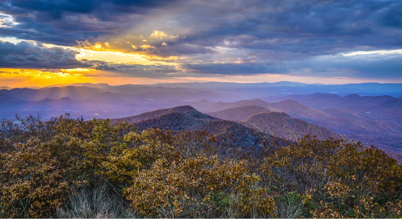
Georgia’s Mountain Region begins in the northeast corner of the state and contain the end of the iconic Blue Ridge Mountains. Among the oldest mountains in the country, the Blue Ridge Mountains extend for 550 miles from southern Pennsylvania to Georgia, passing through Maryland, West Virginia, Virginia, North Carolina, South Carolina, and Tennessee along the way.
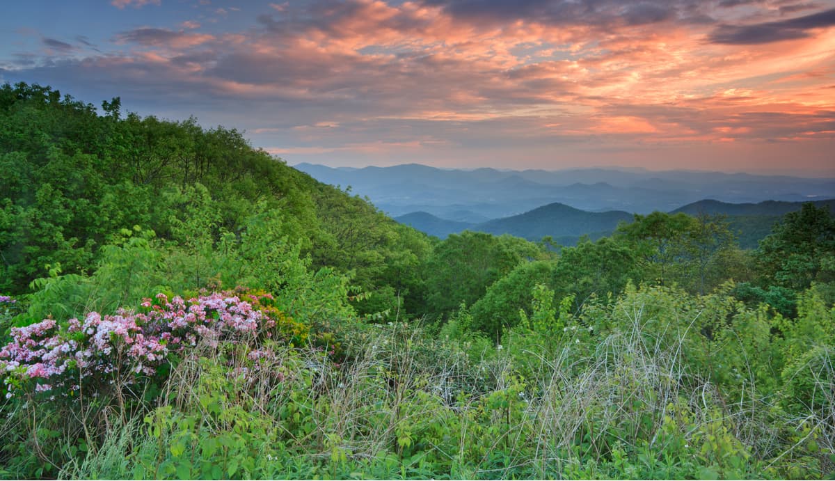
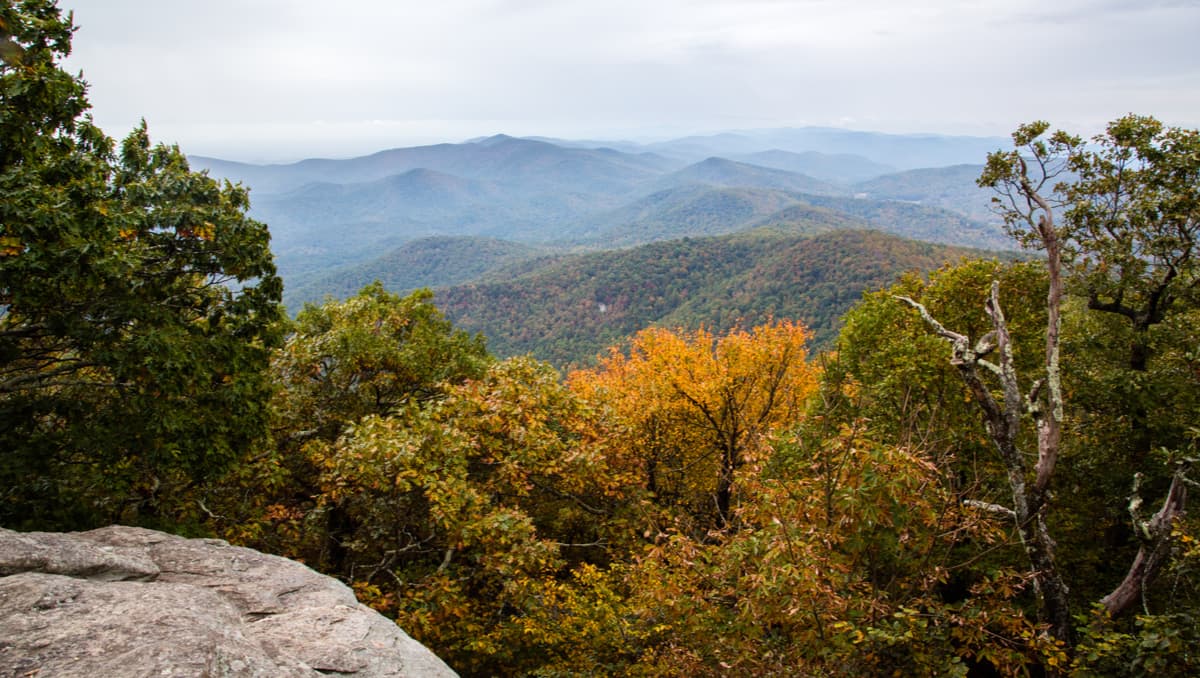
In Georgia, the Blue Ridge region encompasses the state’s most impressive peaks, including Brasstown Bald, the highest peak in the state, Rabun Bald, Dicks Knob, Hightower Bald, Big Bald Mountain, and Blood Mountain. The Blue Ridge region is also the state’s most popular destination for outdoor recreation and contains a variety of stunning wilderness areas.
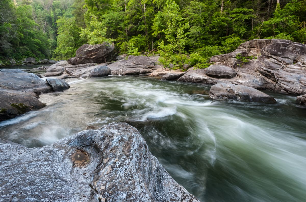
Ten distinct wilderness areas are tucked within the 750,145-acre Chattahoochee National Forest in the North Georgia Mountains, including the Blood Mountain Wilderness, which contains the most heavily traversed section of the Appalachian Trail, Brasstown Wilderness, which encompasses the state’s highest summit, and Cohutta Wilderness, the largest wilderness area in Georgia. Chattahoochee National Forest also contains icons like Johns Mountain, Little Sand Mountain, and Taylor Ridge, a 40-mile-long ridge that is the remnants of a much larger, ancient ridge that once reached all the way to Lookout Mountain. Combined, the Chattahoochee-Oconee National Forest encompasses 866,468 acres. Chattahoochee, alone, contains 2,200 miles of rivers and streams, 450 miles of hiking and recreation trails to explore, and spans 18 north Georgia counties.
The Oconee National Forest, located in eastern Georgia, spans eight Georgia counties and over 116,000 acres. Though Oconee doesn’t contain any designated wilderness areas, it contains two popular man-made lakes, Lake Sinclair and Lake Oconee, as well as the Lake Sinclair, Redlands, Oconee River Recreation Areas.
Overall, Georgia contains 14 wilderness areas that cover more than 486,00 acres and, as a result, the state ranks 15th in the nation for its percentage of land dedicated to wilderness. Georgia also contains five state parks – Amicalola Falls State Park & Lodge, Unicoi State Park & Lodge, Little Ocmulgee State Park & Lodge, Georgia Veterans State Park, and George T. Bagby State Park.
The Appalachian Plateau, located in the northwest corner of the state, is the smallest of the state’s regions. The Appalachian Plateau is home to the well-known Lookout Mountain, as well as a series of deep canyons and caves.
Known by Georgia locals as a hiker’s paradise, Chattahoochee-Oconee National forests contains a vast network of exceptional trails that lead to scenic mountain overlooks, cascading falls, and thunderous rivers. Combined, the two forests span 867,000 acres and house 37 developed recreation areas, hundreds of campsites, several beaches, and more than 850 miles of recreation trails to explore.
Some of the top destinations tucked within the Chattahoochee-Oconee National Forest include:
Brasstown Bald – The state’s highest summit, Brasstown Bald features an observation deck and offers sweeping views of the surrounding peaks and valleys. The summit can be accessed via a parking lot shuttle or by hiking the Summit Trail.
Lake Conasauga – Situated at more than 3,000 feet above sea level, Lake Conasauga is the state’s highest lake and is surrounded by acres of white pine and eastern hemlock trees. This 19-acre lake is situated near the summit of Grassy Mountain and is a popular destination for swimming, hiking, and fishing.
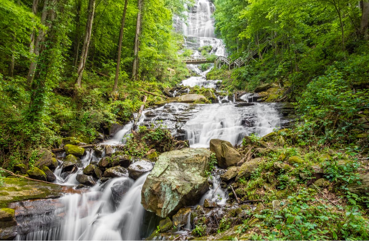
Amicalola Falls State Park – Home to one of the tallest cascading waterfalls East of the Mississippi, 729-foot Amicalola Falls, this 829-acre state park is home to a variety of stunning hiking and walking trails. One of the most popular trails in the park is the eight-mile Approach Trail that leads from Amicalola to Springer Mountain, the southern terminus of the iconic Appalachian Trail.
Fort Mountain State Park – Named after an ancient 885-foot rock wall on For Mountain, Fort Mountain State Park is a 3,712-acre park that sits at the southwestern end of the Cohutta Mountains. Fort Mountain contains 27 miles of biking trails, over 25 miles of hiking trails, and a 17-acre lake.
Blood Mountain - Situated in the Blood Mountain Wilderness, Blood Mountain is the highest peak on the Georgia portion of the Appalachian Trail and the sixth-tallest summit in the state. The most popular trail to the summit is a 4.3-mile trek via the Appalachian Trail and Byron Reece Trail. However, for a longer adventure, hikers can trek over and around the summit via the 6-mile, scenic Blood Mountain Loop. Once at the top, hikers can hang out at a historic Appalachian Trail shelter and soak in panoramic views of the surrounding Blue Ridge Mountains.
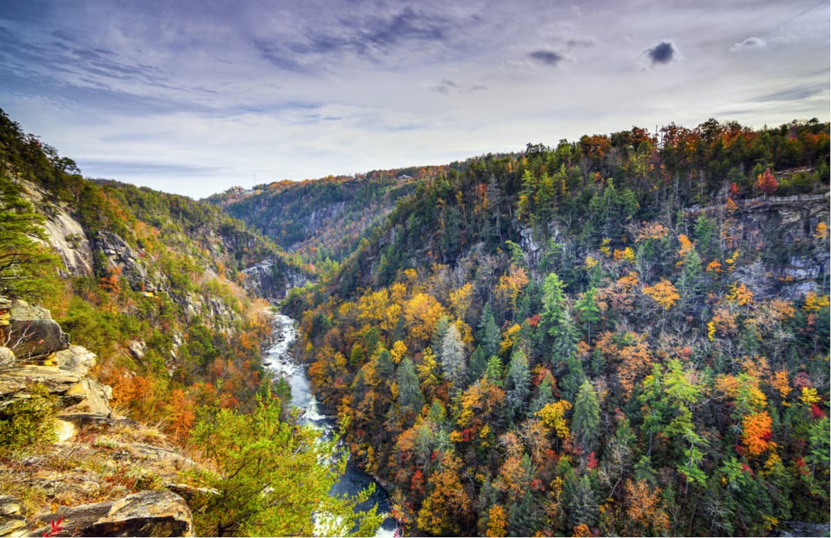
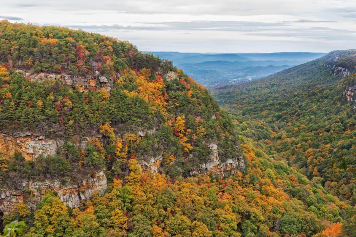
Situated on the western edge of Lookout Mountain in northwest Georgia, Cloudland Canyon is home to thousand-foot deep canyons, stunning sandstone cliffs, cascading waterfalls, and a plethora of hiking, biking, and walking trails. Popular footpaths and attractions include Sitton’s Cave, and the Overlook, Waterfalls, Sitton’s Gulch, and West Rim Loop Trails.
Located at the heart of Gilmer County, Ellijay offers visitors easy access to some of the most scenic hiking trails in the North Georgia Mountains, including Amicalola Falls and Jack’s River Falls. Ellijay is home to renowned heritage apple orchards, making it Georgia’s Apple Capital, and houses several reputable wine vineyards. There are plenty of accommodations to choose from in Ellijay, including quaint cabins, river resorts, and everyday hotels.
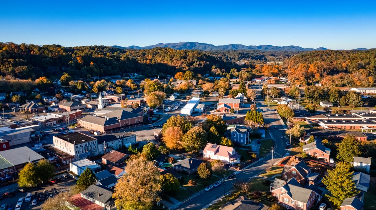
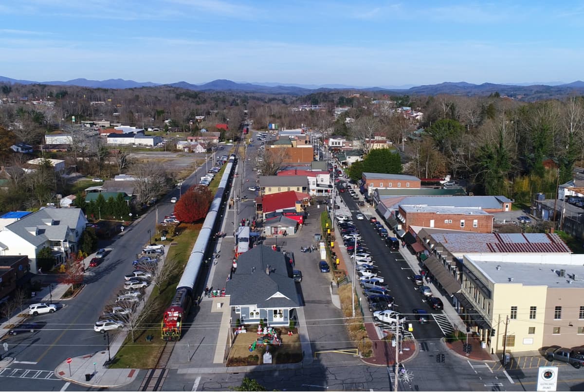
Nestled at the heart of the Chattahoochee National Forest, Blue Ridge is best-known for its charming main street attractions and the Blue Ridge Scenic Railway, but it’s also one of the state’s most popular mountain town destinations. Two of the state’s most popular outdoor adventures begin near Blue Ridge, the long-distance Appalachian and the Benton MacKaye Trails. Visitors that can’t spend months in the woods, can still appreciate scenic footpaths to local waterfalls, float on the Toccoa River, pontoon or kayak on Lake Blue Ridge, or fish in Fannin County Streams.
Known as the ‘City of Mountains,’ Blairsville was once home to the purest gold in the North Georgia Mountains. Today, Blairsville is a popular basecamp for exploring Vogel State Park, experiencing the sweeping views atop Brasstown Bald, and hiking on the Appalachian Trail. Blairsville is conveniently located in the heart of the North Georgia Blue Ridge Mountains, just a few hours from major metropolitan cities, like Atlanta, and is the ideal destination for exploring Chattahoochee National Park.


