
Scan the QR code and open PeakVisor on your phone
Rising high above the plains to the east, the Bighorn Mountains (Crow: Basawaxaawúua) are a collection of peaks that extend for about 200 miles (320) along the border of the US states of Wyoming and Montana. The range is home to 135 named mountains, the highest and most prominent of which is Cloud Peak (13,179ft/4,013m).
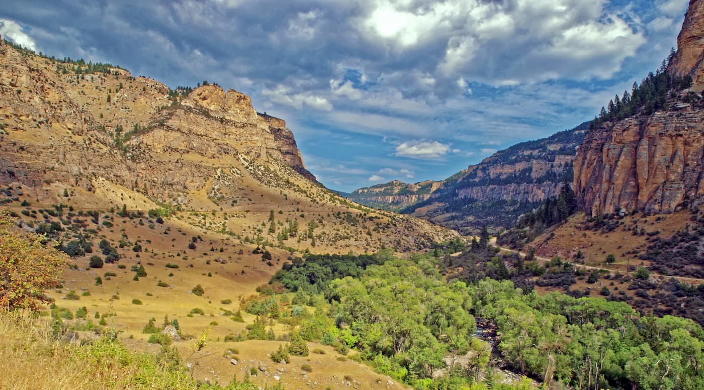
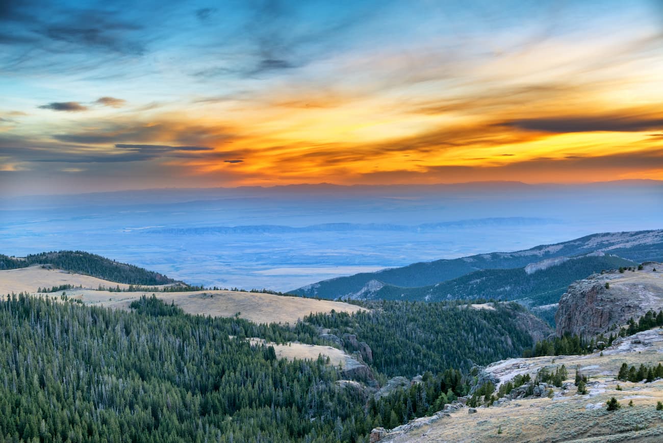
The Bighorn Mountains are located in the northern part of Wyoming and stretch across the state’s border with Montana. They are just west of the Great Plains and form a spur of the Greater Yellowstone Rockies.
The Bighorn Mountains are separated from the Absaroka Range, the Wind River Range, the Teton Range, Shoshone National Forest, Bridger-Teton National Forest, Grand Teton National Park, and Yellowstone National Park, to the west by the Bighorn Basin. To the north lies the plains of central and easter Montana, as well as the city of Billings and the Crow Reservation.
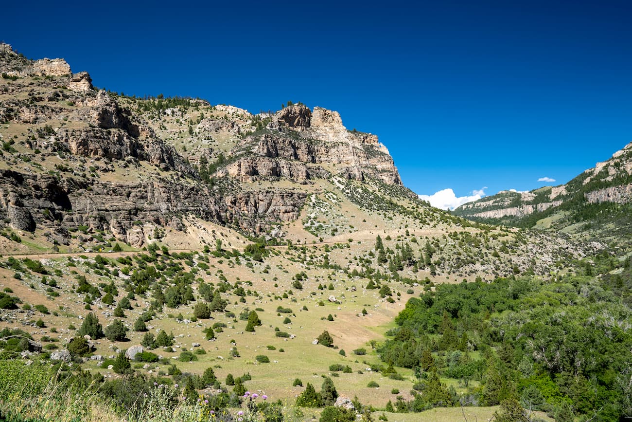
For the most part, the range is included within the Bighorn National Forest, which covers over 1,737 square miles (4,500 sq. km) of land to the east of the Continental Divide in Wyoming and Montana. As part of the forest, the range includes the Cloud Peak Wilderness Area which is a roadless area that is closed to any motorized or mechanized equipment, such as bikes, ATVs, and anything other than horse or foot traffic.
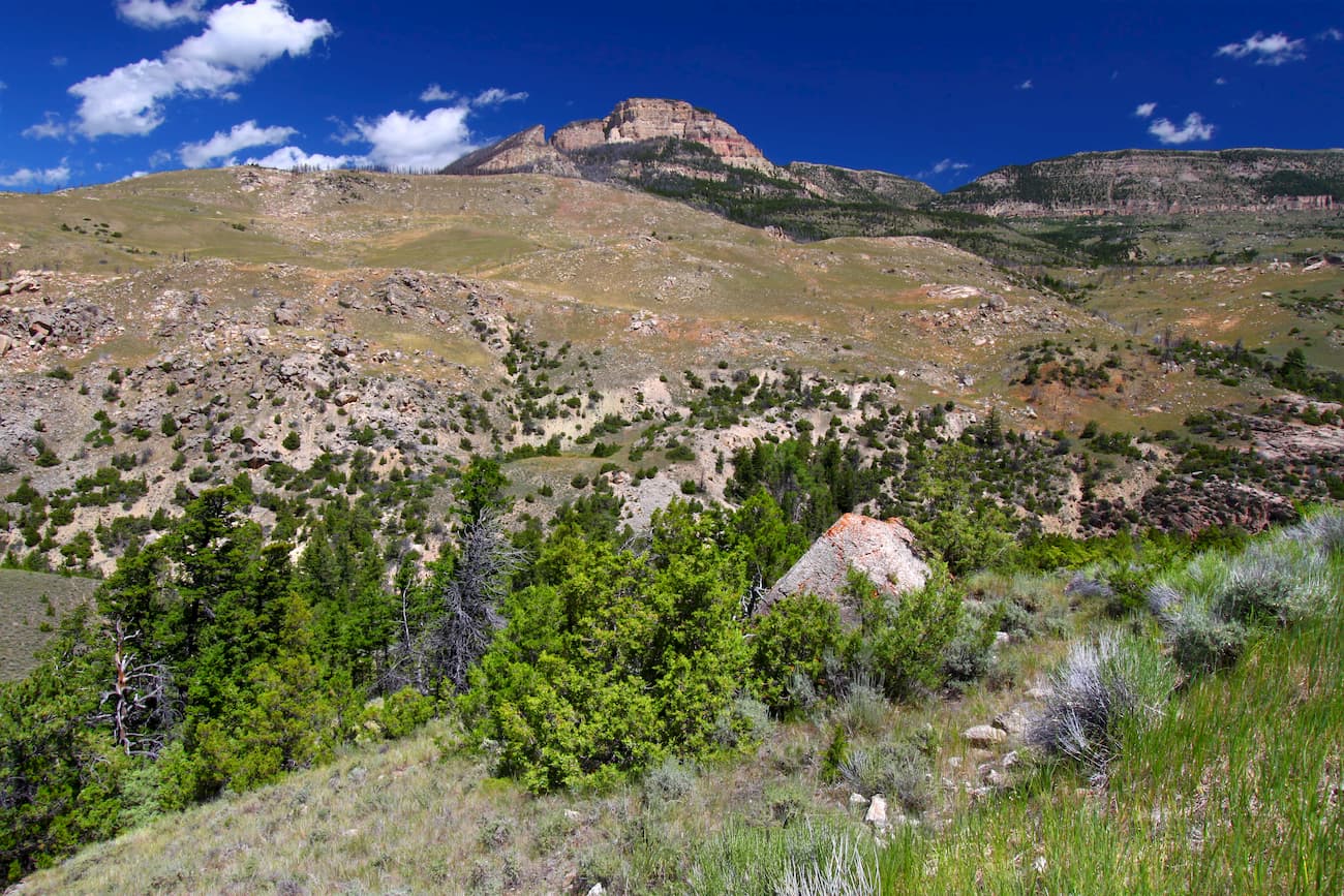
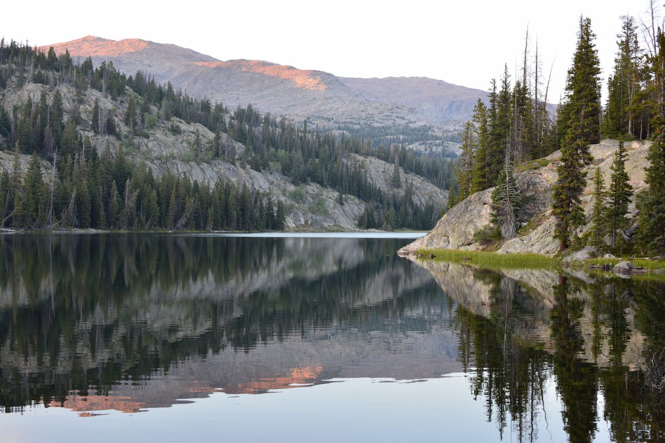
The Bighorn Mountains are known for their high peaks, including Cloud Peak, Mount Woolsey, Black Tooth Mountain, Penrose Peak, and Bomber Mountain. However, unlike some of the nearby ranges, the Bighorns are quite rounded and less jagged in shape.
The Bighorn Mountains formed during the Laramide orogeny, which was a mountain-building event that started some 70 million years ago during the Late Cretaceous. However, the bedrock of the region is sedimentary in origin and was laid down throughout the Cambrian and Lower Cretaceous from marine sediments which are rich in fossils.
Interestingly, some of the rocks in the Bighorns are among the oldest in the world, at 3.25 billion years old. During the Holocene, extensive glaciation carved out these rocks, creating innumerable cirques, glacial lakes, and U-shaped valleys. Nevertheless, there is only one remaining glacier in the region - the Cloud Peak Glacier on Cloud Peak’s eastern slope.
Despite the fact that the mountains are rich in fossils, prospectors have never located large deposits of precious minerals, though there have been a few small gold rushes due to the discovery of placer gold in Porcupine Creek and Big Goose Canyon.
There is also a fairly extensive cave system in the region, due to the widespread limestone karst formations throughout the range. In fact, the Natural Trap Cave on the western slope of the Bighorn Mountains is home to quite a few remains of prehistoric mammals.
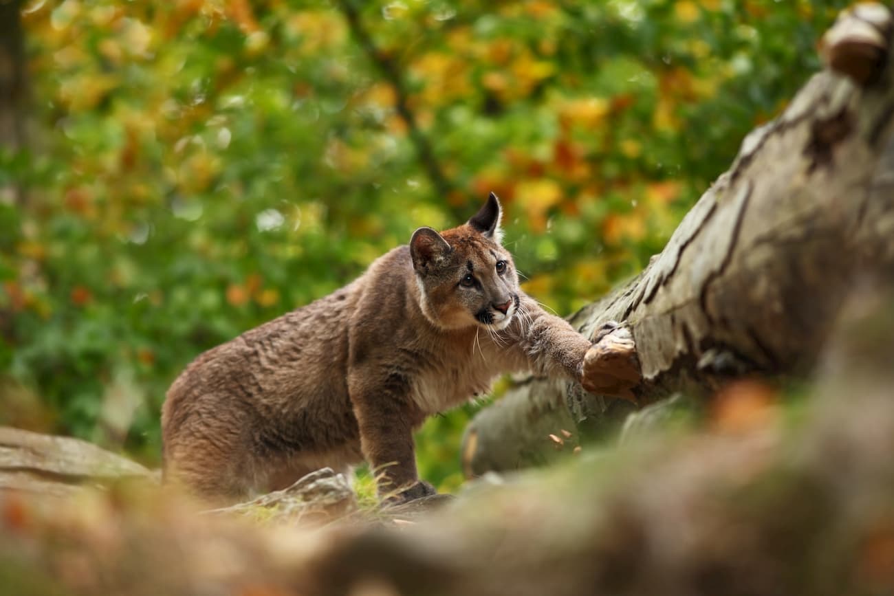
Like many of the nearby mountain ranges, the Bighorns are dominated by forests of spruce, fir, lodgepole pine, and aspen. They also have a sizable population of black bears, cougars, mule deer, moose, pronghorns, coyotes, and elk.
The lakes within the range are also naturally stocked with many species of trout. However, the range receives some of the highest amounts of acid rain in the Rockies, which can be harmful to fish, birds, and other wildlife.
The Bighorn Mountains have been home to humans for thousands of years. The ancestors of the Crow (Apsaalooke), Sioux, Arapaho, Shoshone, and Cheyenne all lived in the region long before the arrival of European settlers and they consider the range to be sacred to this day.
Upon the arrival of the Burlington and Missouri Railroad in Wyoming in 1892, there was a large demand for the manufacturing of railroad ties, so a number of companies started harvesting timber within the Bighorns. This commercial timber harvesting remained a profitable business for over 100 years, even after the Bighorn National Forest was established in 1897.
In the early 1900s, a number of reservoir companies built reservoirs to help sustain the nearby agricultural industry. Many of these reservoirs are still in operation as they support both municipal water systems and the local alfalfa farming industry.
In 1984, the Cloud Peak Wilderness was established within the range in order to protect and preserve the wildest section of the mountains. Although logging and mining are allowed by permit in some other sections of the National Forest, such commercial activities are forbidden in the Cloud Peak Wilderness.
Here are some of the most popular hiking areas in the Bighorn Mountains:
This difficult 23.8 mile (38.3km) out and back trail to the summit of Cloud Peak offers hikers the chance to stand above the tallest mountain in the Bighorns. The path follows the Misty Moon Trail to the Solitude Loop Trail before some scrambling to the top of Cloud Peak. At the summit, you get sweeping panoramic views of the rest of the Bighorn National Forest as a reward for your efforts.
The trail to Florence Lake is a difficult 15.7 mile (25.3km) out and back hike from Soldier Park Road. The path starts out in a forested area and ascends gradually out of the woodlands over Florence Pass and up to Florence Lake with stunning cliffs rising up on either side.
This trail takes visitors to a number of different alpine lakes. Over the course of 10.4 miles (16.7), this loop trail passes by Sherd Lake, Rainy Lake, Otter Lake, and Trigger Lake, among others. So, it’s a great hike for avid anglers or anyone looking to experience some alpine beauty in the Bighorns.

Looking for a place to stay before or after your trip into the Bighorns? Here are some options:
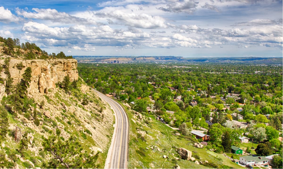
Billings is the largest city in Montana with a population of over 109,000 people. The city is located to the north of the Bighorns and offers good access to the northern part of the range as well as to nearby Yellowstone. Billings is easy to get to by road, along I-90 or by plane, thanks to its international airport.
The city of Cody is located in the northwestern part of Wyoming, just west of the Bighorn Mountains. It is a population center of the region with over 9,500 inhabitants. There are a number of highways that run through the city. Additionally, Cody is serviced by the Yellowstone Regional Airport, which offers good connections to major cities in the Rocky Mountain region.
Casper is situated just south of the Bighorn Mountains and is the second-largest city in Wyoming, second only to Cheyenne. The city has a population of over 55,000 people and is well connected by road to the rest of the state and by I-25, which provides good transport links around the country. Casper also has one of the largest airports in Wyoming, which offers connecting flights to a number of large airports in the Rockies.


13er
ultra
wyoming-13ers
wyoming-ultras
13er
ultra
wyoming-13ers
wyoming-ultras


