Get PeakVisor App
Sign In
Search by GPS coordinates
- Latitude
- ° ' ''
- Longitude
- ° ' ''
- Units of Length

Yes
Cancel
❤ Wishlist ×
Choose
Delete
The Greater Yellowstone Rocky Mountains are a collection of 1552 named peaks in the US states of Wyoming, Montana, Idaho, Utah, and Colorado. The tallest mountain in the Greater Yellowstone Rockies is Gannett Peak (13,802ft/4,207m), of the Wind River Range and the most prominent is Cloud Peak (13,179ft/4,017m) of the Bighorn Mountains.
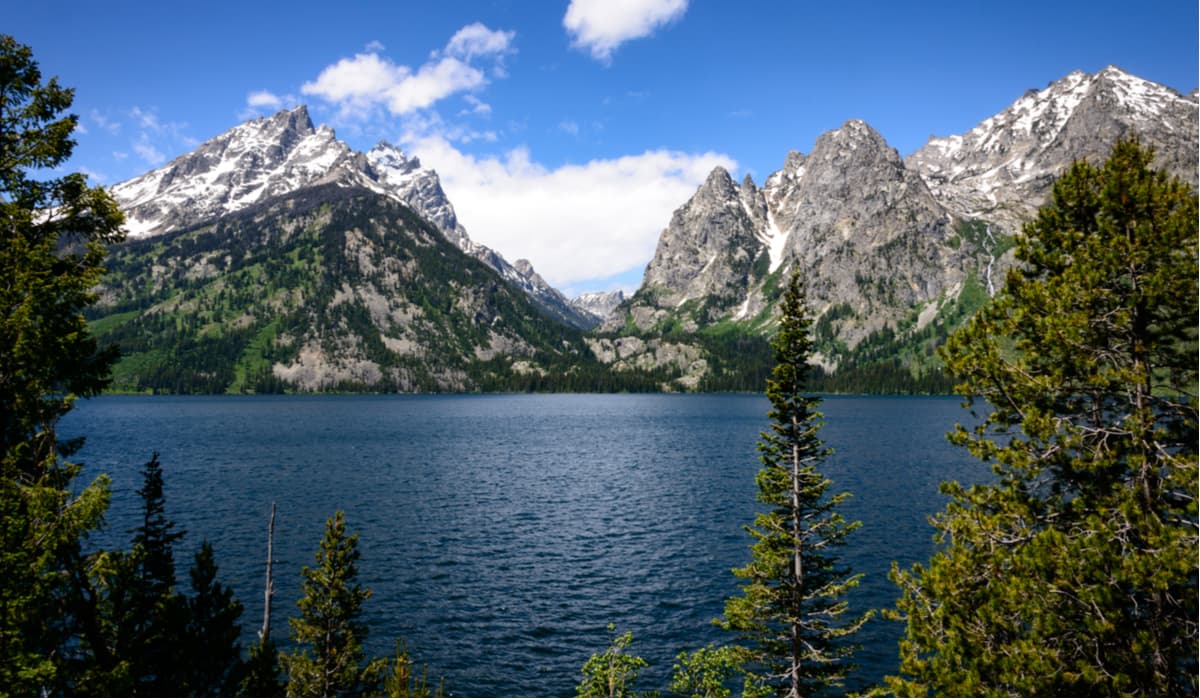
As a subrange of the Rocky Mountain chain, which stretches from British Columbia, Canada to New Mexico, USA, the Greater Yellowstone Rockies are located in a highly mountainous region of North America. The Greater Yellowstone Rockies are bordered to the south by the Southern Rocky Mountains, to the west by the Western Rocky Mountains and the Idaho-Bitterroot Rocky Mountains, to the north by the Central Montana Rocky Mountains, and to the east by the Great Plains.
Home to some of the highest peaks in the Rockies outside of Canada and Colorado, the Greater Yellowstone Rocky Mountains are followed by the Continental Divide for most of their length. While there is some variation in the origin of each of the subranges within the Greater Yellowstone Rockies, the range was more or less formed by large-scale tectonic forces during the Laramide orogeny between 80 and 55 million years ago.
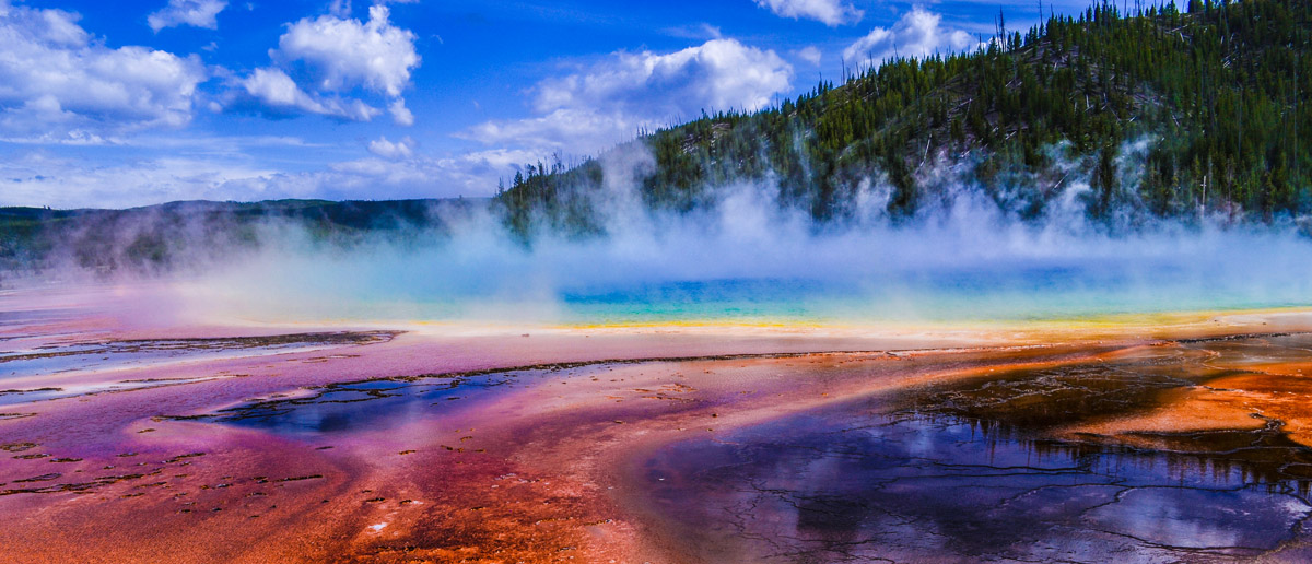
However, much of the current shape of the Greater Yellowstone Rocky Mountains is due to extensive glaciation in the region during the Pleistocene. Even today, there are still glaciers in the region with 38 named glaciers in the state of Wyoming and 62 named glaciers in the state of Montana.
Many of these remaining glaciers are accessible to visitors, particularly in the Wind River Range, Absaroka Range, Bighorn Mountains, Teton Range, and the Madison Range. Some of the best-known and most accessible glaciers in the region include:
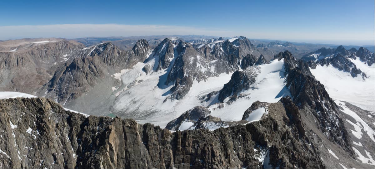
Although European settlers didn’t venture in the Greater Yellowstone Rocky Mountains until the French fur trappers and the Lewis and Clark Expedition arrived in the early 19th century, countless people have called the region home since time immemorial. These groups include the Eastern Shoshone, Coeur d’Alene, Arapaho, Blackfeet, Crow, Cheyenne, Flathead, and countless others who consider the region to be their ancestral homelands.
Today, there are only a few remaining reservations on the outskirts of the range, including the Wind River Reservation, the Crow Reservation, the Uintah and Ouray Reservation, and the Fort Hall Reservation. These days, much of the land in the Greater Yellowstone Rockies is managed on the state or federal level, mostly by the US National Forest Service and the US National Parks Service. The Greater Yellowstone Rockies contain parts of the following federally-managed public lands:
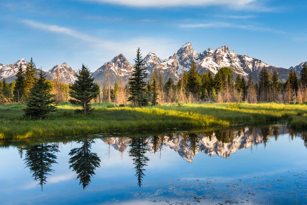
Many of the parks, forests, and wilderness areas within the Greater Yellowstone Rockies were designated to protect the region’s vast and rugged terrain, as well as the area’s unique Greater Yellowstone Ecosystem. The Greater Yellowstone Ecosystem, or GYE, is one of the last nearly intact remaining ecosystems in the temperate zone of the northern hemisphere and covers an area of about 18 million acres (72,843 sq.km).
Within the GYE, visitors can see dense concentrations of wildlife, including grizzly bears, grey wolves, moose, elk, and bison. Additionally, the GYE is home to some important regional vegetation, including the whitebark pine and quaking aspen, as well as a stunning array of wildflowers in the summer months.
Visitors to the Greater Yellowstone Rockies should be prepared for rugged, often inhospitable terrain, but the backpacking, hiking, and climbing opportunities in the region are truly second to none. With a wide network of trails and plenty of opportunity for off-trail travel, the Greater Yellowstone Rockies are a fantastic place for any outdoor recreationalist.
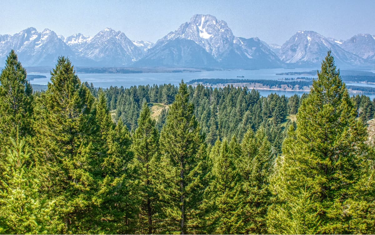
The Greater Yellowstone Rocky Mountains are home to a number of subranges, each of which offers its own unique hiking and backpacking opportunities. Here are some of those ranges to check out:
Straddling the Montana/Wyoming border, the Absaroka Range is home to 399 named peaks, the highest of which is Francs Peak and the most prominent of which is Granite Peak. The Absarokas stretch from Livingston, Montana to Dubois, Wyoming and form the eastern border of Yellowstone National Park. The range is well known for its ruggedness and is a great place to see grizzly bears on a long, off-trail expedition.
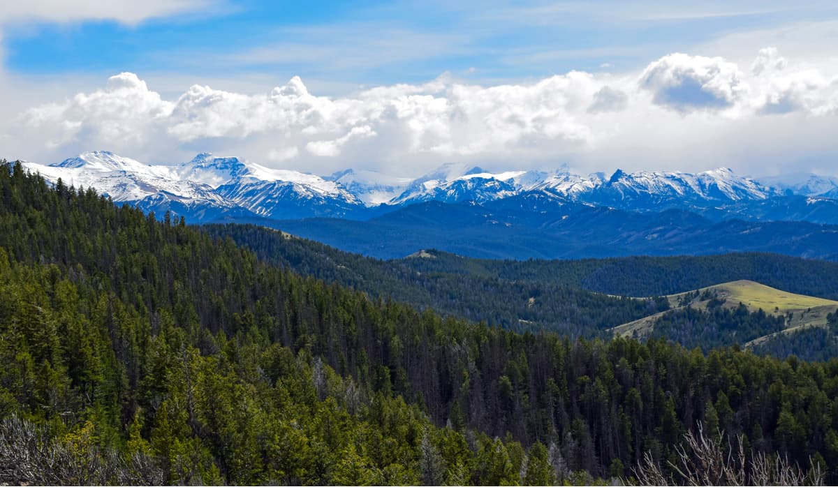
The Bighorn Mountains are a crescent-shaped mountain range in Wyoming and Montana that extends for some 200 miles (320km). Home to 135 named mountains, the highest and most prominent of which is Cloud Peak, the Bighorns are separated from the Absaroka Range and the rest of the Greater Yellowstone Rockies by the Bighorn Basin. Much of the Bighorns are located within the Cloud Peak Wilderness, which offers excellent opportunities for more remote travel in the mountains.
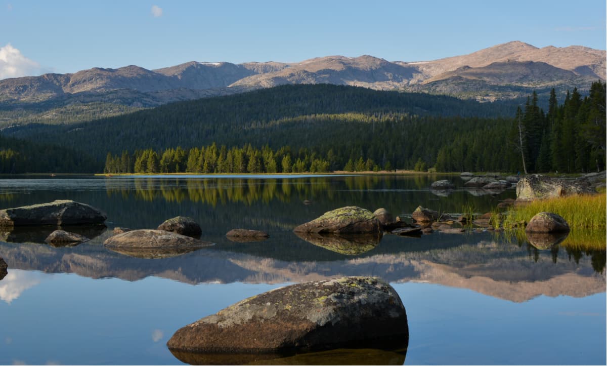
Located in the northwesternmost section of Wyoming and the southern part of Montana, the Gallatin Range is a collection of 107 named peaks, the highest and most prominent of which is Electric Peak. The southernmost part of the range forms the northwestern boundary of Yellowstone National Park. Additionally, the Range is home to one of the largest petrified forests, the Gallatin Petrified Forest, in the US, as well as a substantial number of fossils that date back to the Eocene.
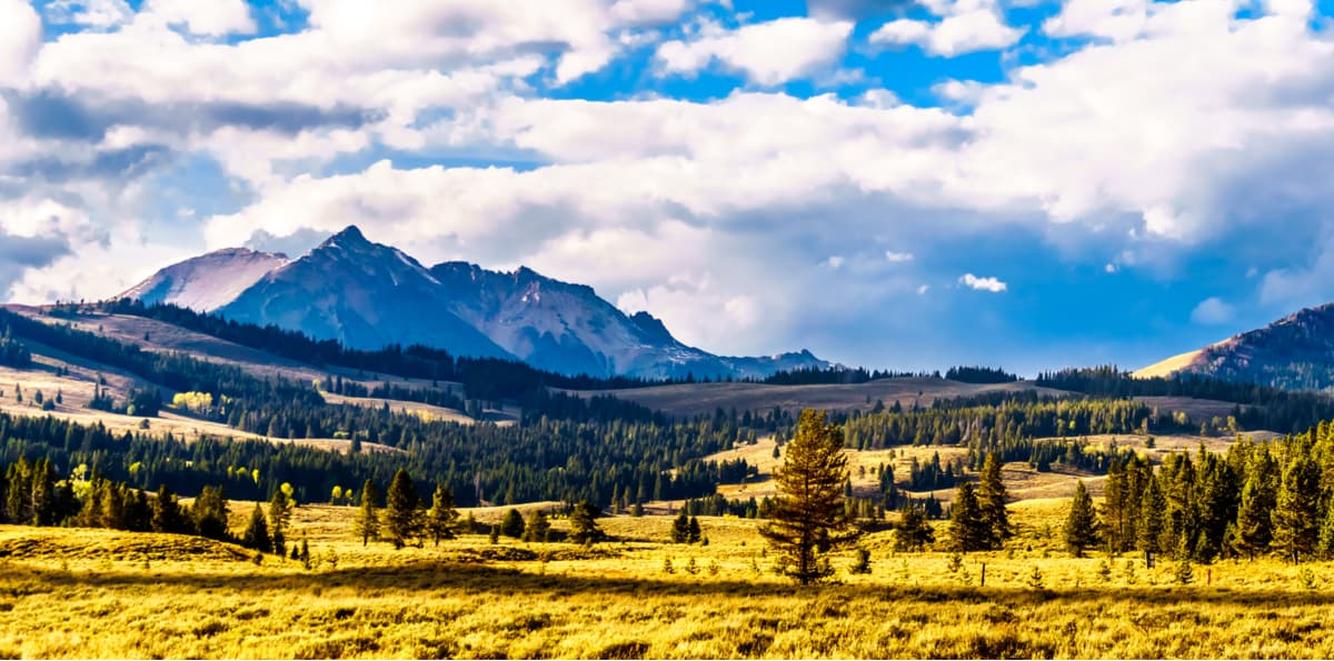
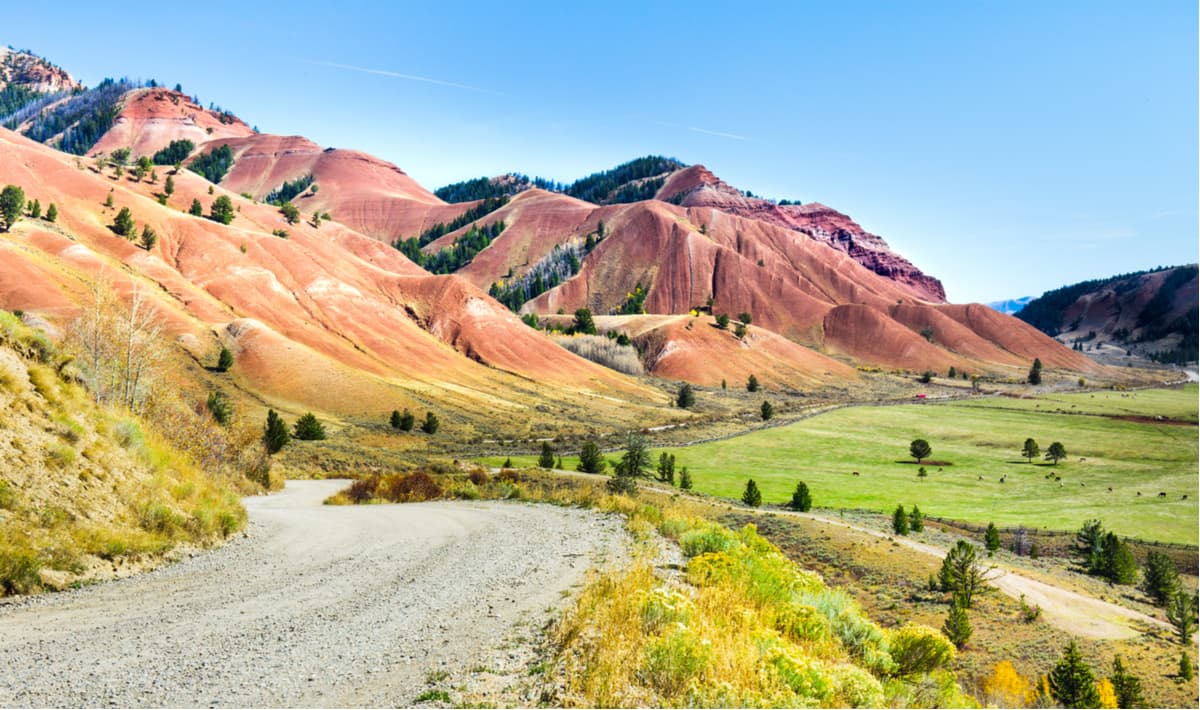
The Gros Ventre Range is a collection of 46 named peaks, the highest of which is Doubletop Peak. The range is located in western Wyoming, just south of the Wind River Range and the Teton/Yellowstone Region to the west of the Continental Divide. Although the range doesn’t get nearly as many visitors as some of its neighbors, the Gros Ventre mountains are a jagged range with plenty of opportunities for backcountry adventures without the crowds.
The Henry's Lake Mountains are a small collection of 6 peaks, the highest of which is Sheep Mountain. The range straddles the Continental Divide as it passes through the Idaho-Montana border. Although it’s quite small the range is known for its high cirques and stunning alpine lakes, the most popular of which is Coffin Lake. Much of the range is roadless and its dense forests, sprawling tundra, and many lakes make the Henry’s Lake Mountains a great place to see bighorn sheep, elk, and grizzly bears.
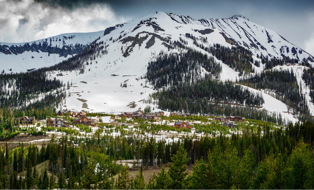
Located along the Idaho/Montana border, the Madison Range is home to 47 named peaks, the highest and most prominent of which is Hilgard Peak. The range forms the westernmost edge of the Greater Yellowstone Ecosystem and the Greater Yellowstone Rockies. To the west of the range liest the Gravelly Range of the Central Montana Rocky Mountains. Within the Madison Range is the Lee Metcalf Wilderness Area, which is perfect for a long backpacking trip in the mountains.
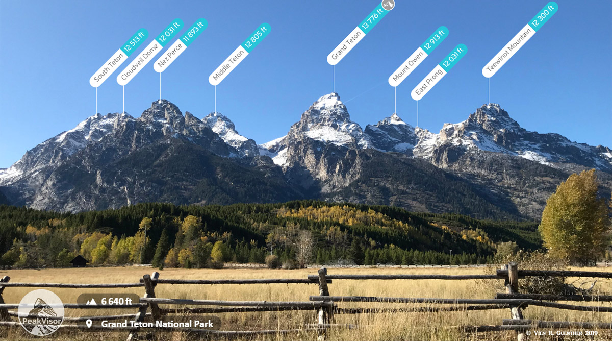
The Teton Range is a very distinct collection of sharp jagged peaks located along the Wyoming/Idaho border. The range is home to 84 named mountains, the highest and most prominent of which is the Grand Teton. Almost completely located within Grand Teton National Park, the Tetons are a world-class alpine climbing, hiking, and skiing destination.
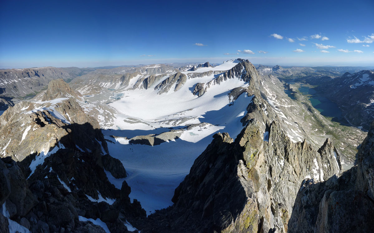
The Wind River Range of Wyoming is home to 228 named peaks, the highest and most prominent of which is Gannett Peak, the state highpoint. The craggy peaks of the Winds, as they’re known locally, are some of the tallest in the state as the Continental Divide follows the crest of the range, traversing it from south to north. The Winds are home to a small collection of glaciers and the vast boulder fields and alpine meadows of the range make it one of the best places for a truly remote backpacking expedition in all of North America.
Here are some of the major cities and towns near the Greater Yellowstone Rocky Mountains:
Billings is home to over 100,000 people, which makes it the most populous city in Montana. The city is located to the northeast of the Greater Yellowstone Rockies and is a transportation hub for the region. Billings has an international airport that offers good transport links around North America and is located along I-90, so it’s a convenient place to stop if you’re driving in from the east of the range.
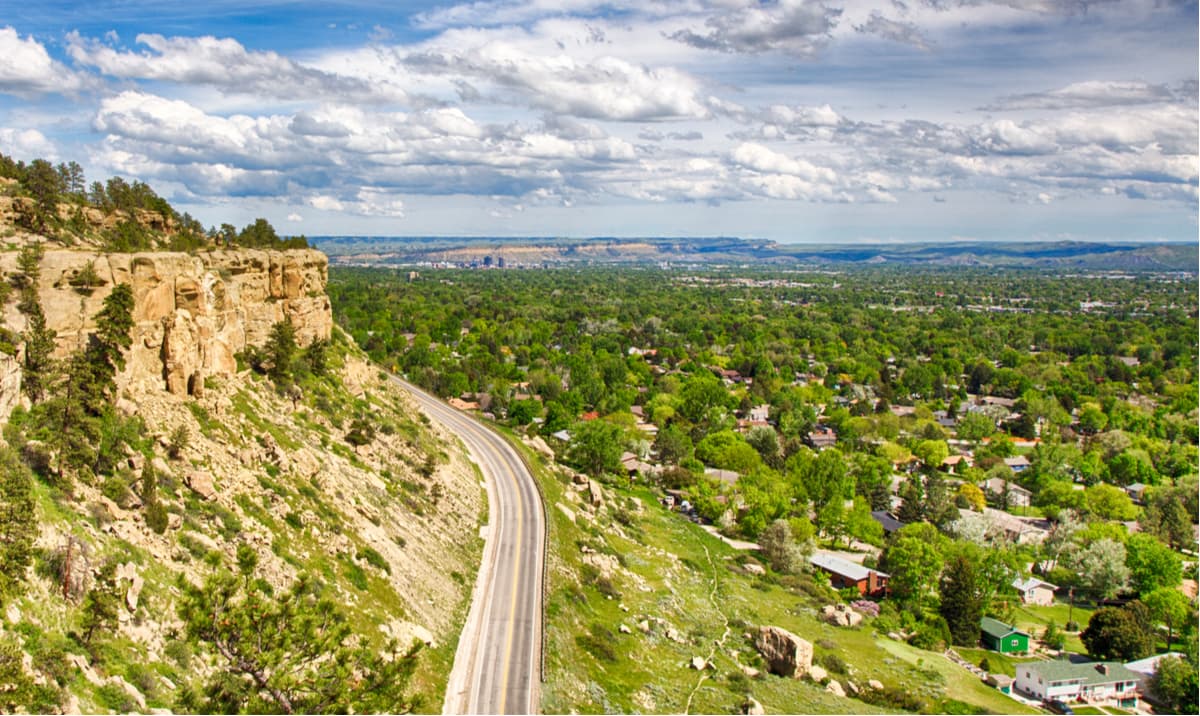
With a population of about 50,000 people, Bozeman is the fourth largest city in Montana. Bozeman is located just north of the Yellowstone National Park region and is surrounded by a number of mountain ranges, so it’s an ideal place to stay if you’re looking to spend a lot of time in the Greater Yellowstone Rocky Mountains. The city is also home to a fairly busy regional airport and is known for its outdoor recreation opportunities.
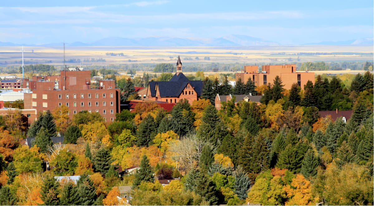
Located in northwestern Wyoming, just east of Yellowstone National Park, Cody is home to about 10,000 people and is a great place to stay if you’re looking to visit the northern section of the Greater Yellowstone Rockies. The town is also home to the Yellowstone Regional Airport, which offers connecting flights through Denver and Salt Lake City, so it’s perhaps the easiest place to fly into in the remote northern section of Wyoming.
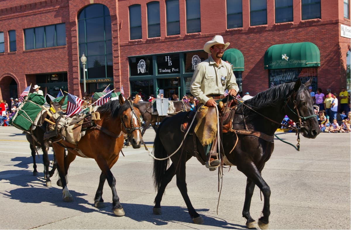
The city of Jackson, Wyoming is located along the Wyoming-Idaho border and is home to about 10,000 people. Located at the foothills of the Teton Range, Jackson is a fantastic place to stay whether you’re looking to visit Grand Teton or Yellowstone National Park. The city is also famous for its ski resort, Jackson Hole, and has an airport that offers connections to Salt Lake City and Denver.
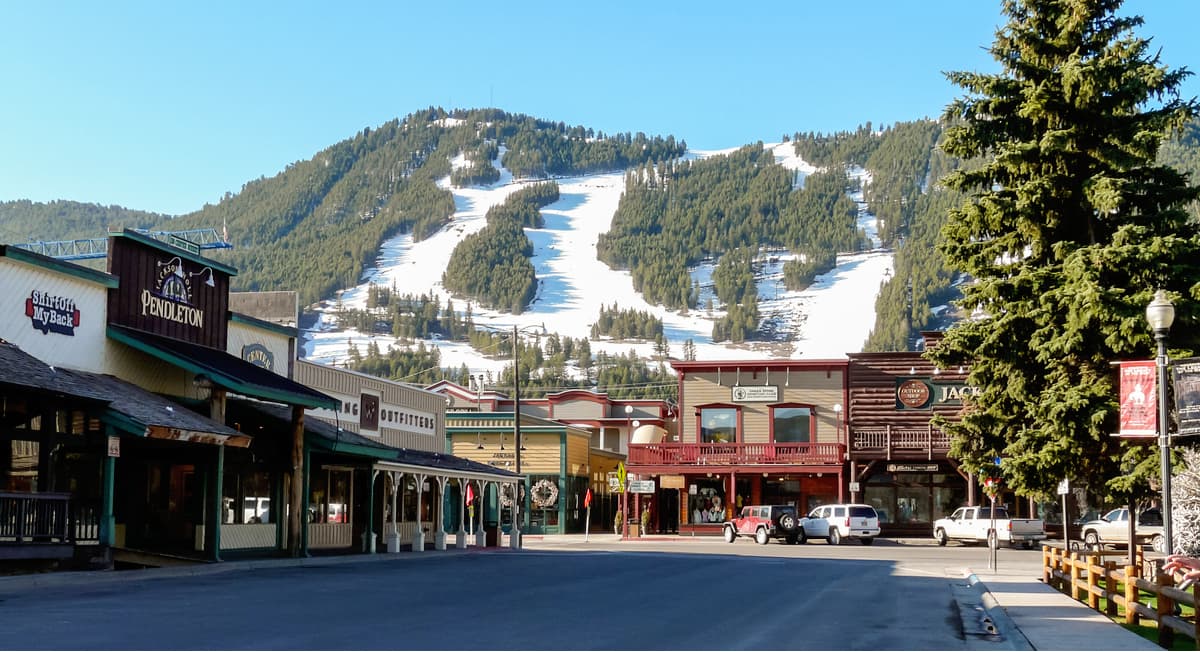
Located at the southern edge of the Wind River Range in the heart of central Wyoming, the city of Lander is home to some 7,000 people and is a well-known outdoor recreation hub for climbers and hikers alike. Lander is close to some famous climbing destinations, including Wild Iris and Sinks Canyon and is a great location to start an adventure into the southern Wind River Range as there are trailheads located just outside of town.
The city is slightly difficult to get to by air, though you can fly into Casper or Riverton airports and take the Wind River Transportation Authority bus into town. Lander is also the world headquarters to the National Outdoor Leadership School, so there are plenty of like-minded outdoor enthusiasts in town.
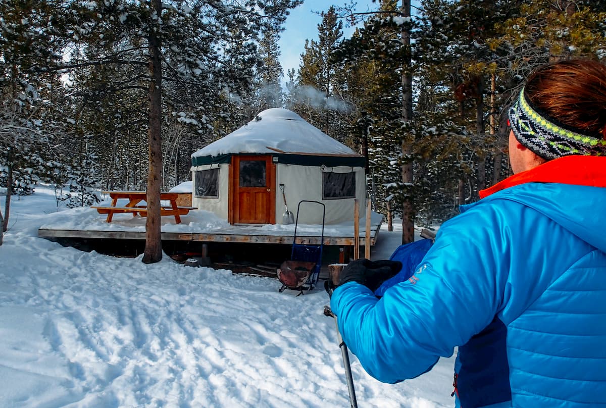
Located on the eastern edge of Idaho, along the Wyoming border, Victor is a town of about 2,000 people in the western part of the Greater Yellowstone Rockies. Victor is located just on the other side of the Teton Range from Jackson and is a quieter, more affordable place to stay if you’re looking to see the local mountains. It’s also just 30 minutes away from Grand Targhee Ski Resort, which tends to be less crowded than Jackson Hole.
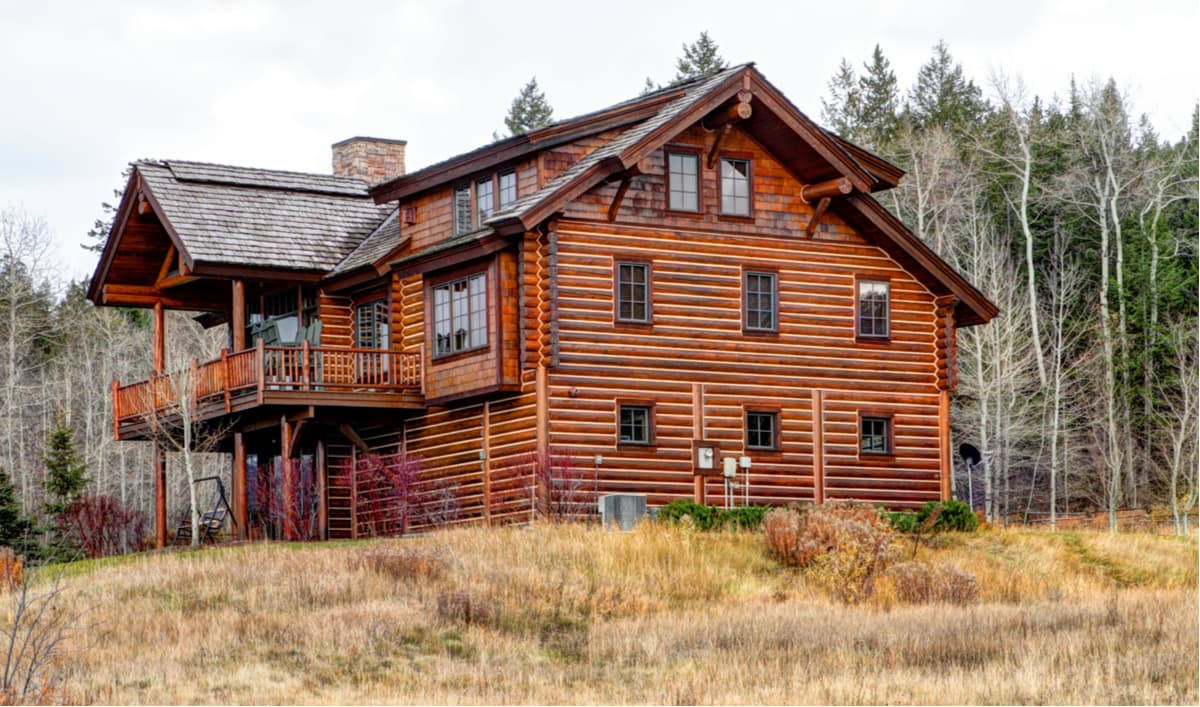
Situated along the southern border of Montana, West Yellowstone is a town of about 1,400 people that is known for being the “Gateway to Yellowstone National Park.” West Yellowstone is a tourist town and has a small airport, West Yellowstone Airport that services flights in the summer months to Salt Lake City.

Explore Greater Yellowstone Rockies with the PeakVisor 3D Map and identify its summits.


13er
ultra
glacier
wyoming-13ers
greater-yellowstone-finest
fred-beckey-great-peaks
wyoming-ultras
13er
ultra
wyoming-13ers
teton-13ers
greater-yellowstone-finest
fred-beckey-great-peaks
wyoming-ultras
13er
glacier
wyoming-13ers
greater-yellowstone-finest
fred-beckey-great-peaks
13er
glacier
wyoming-13ers
greater-yellowstone-finest
13er
glacier
wyoming-13ers
greater-yellowstone-finest
13er
ultra
wyoming-13ers
wyoming-ultras
13er
ultra
glacier
wyoming-13ers
greater-yellowstone-finest
fred-beckey-great-peaks
wyoming-ultras
13er
ultra
wyoming-13ers
teton-13ers
greater-yellowstone-finest
fred-beckey-great-peaks
wyoming-ultras
