Scan the QR code and open PeakVisor on your phone
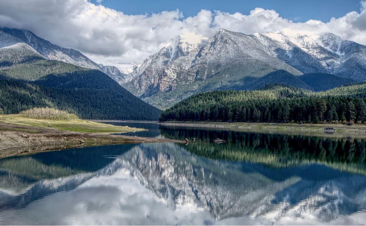
The Central Montana Rocky Mountains are a group of 1623 named peaks located within the west-central part of the US state of Montana. The highest and most prominent peak within the Central Montana Rocky Mountains is Crazy Peak (11,177ft/3,407m).
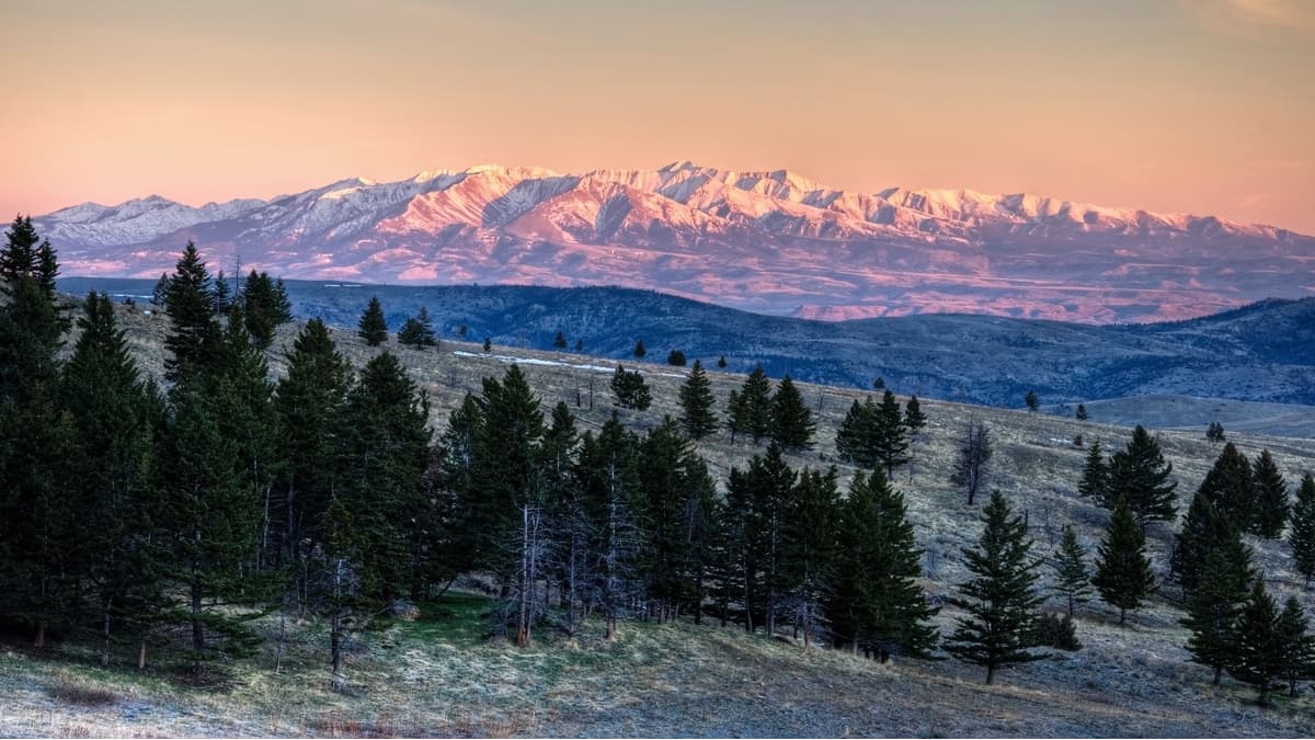
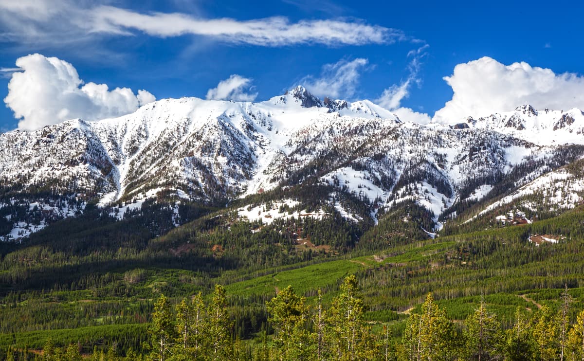
The Central Montana Rocky Mountains are a sub-group of the greater Rocky Mountain range, which extends some 1,900 miles (3,000km) from British Columbia, Canada to New Mexico, USA. The mountains that comprise the Rockies all formed between 80 to 55 million years ago during the Laramide orogeny during a period of subduction between the North American tectonic plate and other smaller plates in the region. However, much of the northern parts of the range were shaped into their current forms due to extensive glaciation during the last major glacial maximum some 10,000-20,000 years ago.
Out of the thousands of mountains within the Rocky Mountain Range, three of the highest are located within the state of Montana. The state of Montana derives its name from the Latin word meaning “mountainous,” which is a fitting term for a state that has over 100 named ranges within its borders, many of which belong to the Central Montana Rocky Mountains group.
Although there are no clear lines separating one range within the Central Montana Rocky Mountains from another, the vast majority of mountainous land in Montana is managed by the US Forest Service. Most of the public land in the Central Montana Rocky Mountains is included within the boundaries of Glacier National Park and the following national forests:
The region of the Central Montana Rocky Mountains is well known for its mineral resources, which brought prospectors and miners to the area in droves during the Montana Gold Rush of the 19th and 20th centuries. However, the Central Montana Rocky Mountains are the ancestral homelands of many nations, including the Flathead, Blackfeet, Eastern Shoshone, and countless others. Indeed, today, both the Flathead Indian Reservation (of the Confederated Salish and Kootenai Tribes) and the Blackfeet Indian Reservation (of the Blackfeet Nation) are located within the Central Montana Rocky Mountains.
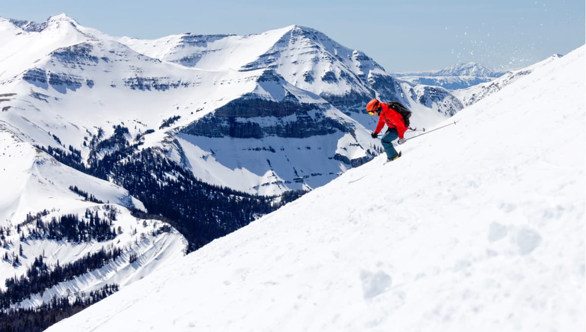
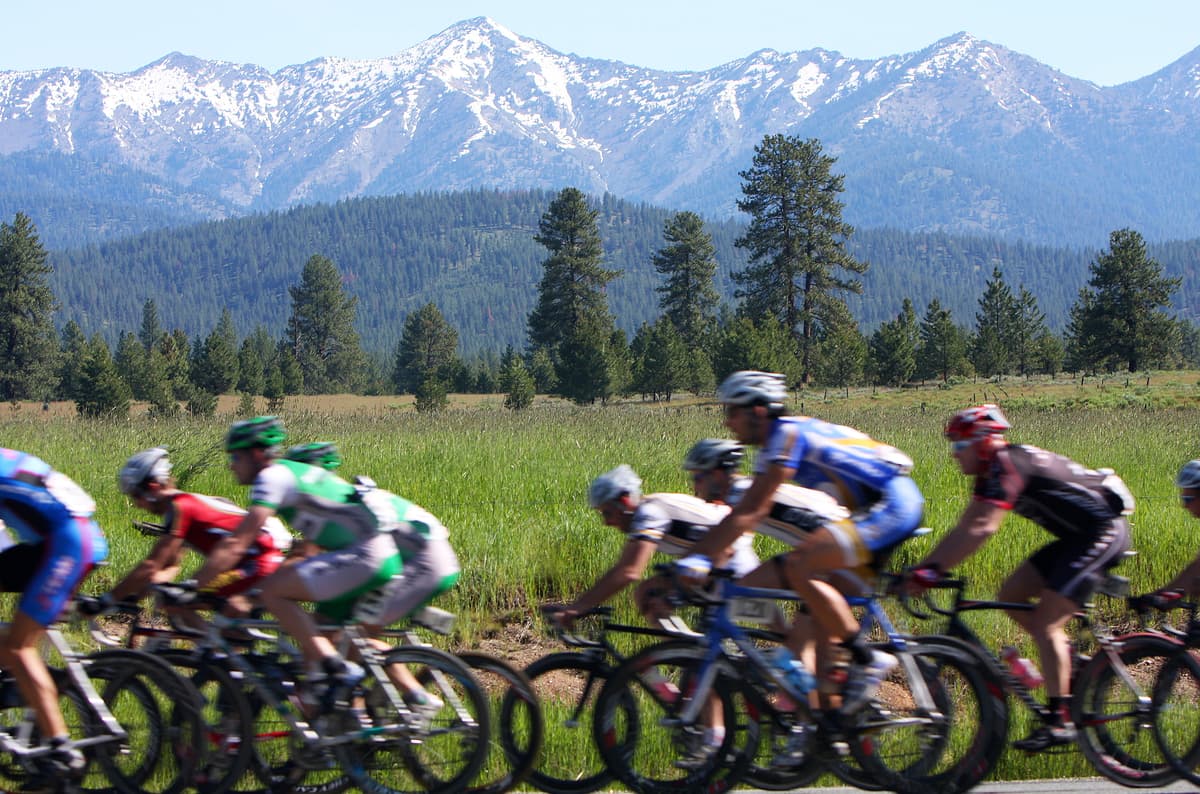
These days, the Central Montana Rocky Mountains are a major tourist attraction for the thousands of hikers, climbers, bikers, and skiers who flock to western and central Montana to enjoy all that they have to offer. The range is well known for its diversity of wildlife, which includes charismatic species such as the grizzly bear, Canada lynx, moose, and mountain goat that backcountry enthusiasts can hope to spot during their travels.
There are also a number of established ski resorts within the range, including:
Whether you like to hike, bike, climb, or ski, the many sub-ranges of the Central Montana Rocky Mountains are the perfect place for your next outdoor adventure.
The Central Montana Rocky Mountains are home to a number of distinct subranges, including:
The Big Belt Mountains are located in west-central Montana, mostly within the Helena National Forest. The range includes 49 named peaks, the highest of which is Sacagawea Peak and the most prominent of which is Mount Edith.
The mountains of the Big Belt Range form the divide between the Missouri River to their west and the Smith River to their east. The range is home to rich gold deposits, including the Montana Bar, which was one of the most concentrated gold strikes in the region. The Big Belt Mountains stretch 75 miles (120.7 km) in a north/south direction, like a long belt, which is how they got their name.

The Big Snowy Mountains are a range of 45 named peaks in the central part of Montana. The highest and most prominent mountain within the Big Snowy Range is Greathouse Peak.
Although their English-language name is the Big Snowy Mountains, the range is known as Níichʔibííkʔa, meaning “it is never summer” in the native Gros Ventre language. The Big Snowy Mountains are considered an “island range” due to their relative isolation from the rest of Montana’s mountains.
These days, the majority of the Big Snowy Mountains are located on the Lewis and Clark National Forest as well as on small parcels of Bureau of Land Management (BLM) land. The Big Snowy Mountains are also well known for their network of vast, unexplored caves, particularly on the western side of the range.
The Boulder Mountains are a north-south oriented range in the southwestern part ofMontanathat is home to 69 named peaks, the highest and most prominent of which is Haystack Mountain. The range derives its name from the Boulder Batholith, the large mass of igneous rock that formed during the Late Cretaceous period and is the predominant geologic structure of the range.
The Boulder Mountains are geologically quite similar to the nearby Elkhorn Mountains, though they are separated from that range by a network of state and interstate highways. While the Boulder Mountains are not among the tallest peaks in the state of Montana, they are mineral-rich and are home to the Continental Divide.
The Crazy Mountains are located in the south-central part ofMontanaand span a distance of about 40 miles with the Musselshell and Yellowstone Rivers located on either side of the range. The Crazies, as they’re known locally, are home to 29 named mountains, the highest and most prominent of which is Crazy Peak, which is also the highest peak in the Central Montana Rocky Mountains.
Like the Big Snowy Mountains, the Crazies are considered an island range, due to their isolation from other mountains on the eastern side of the Continental Divide. Unfortunately, access to the range is quite difficult because the Crazies are mostly surrounded by private landholdings, especially in the southern part of the mountains. If you can get into the Crazies, though, there are stunning alpine lakes and plenty of wildlife to enjoy.
The Elkhorn Mountains are located near the city of Helena in the central part of Montana. The small Elkhorn Range is home to 15 named peaks, the highest and most prominent of which is Crow Peak.
The Elkhorns are geologically related to the Boulder Mountains and the Boulder Batholith, though they are a distinct range of extinct volcanic peaks. The Elkhorns saw a decent amount of mining activity during the Montana Gold Rush but, these days, are mostly roadless and are infrequently explored, especially when compared to other ranges in the state.
Located in the far southwestern corner of Montana, the Gravelly Range is home to 38 named peaks, the highest and most prominent of which is Sunset Peak. The vast majority of the range is located within the Beaverhead-Deerlodge National Forest, though some of the northern areas of the range are managed by the BLM.
The Gravelly Range is unique in that it is home to a rare form of indigenous tiger salamander, some of the highest-elevation pronghorns in Montana, as well as some undisturbed grasslands, and a stunning cave network that is popular amongst spelunkers. There are also countless rivers and streams in the Gravellies that are home to the westslope cutthroat trout, which is the Montana state fish. Other lakes in the region are also home to plentiful trumpeter swans and bald eagles while grizzlies are known to frequent the range.
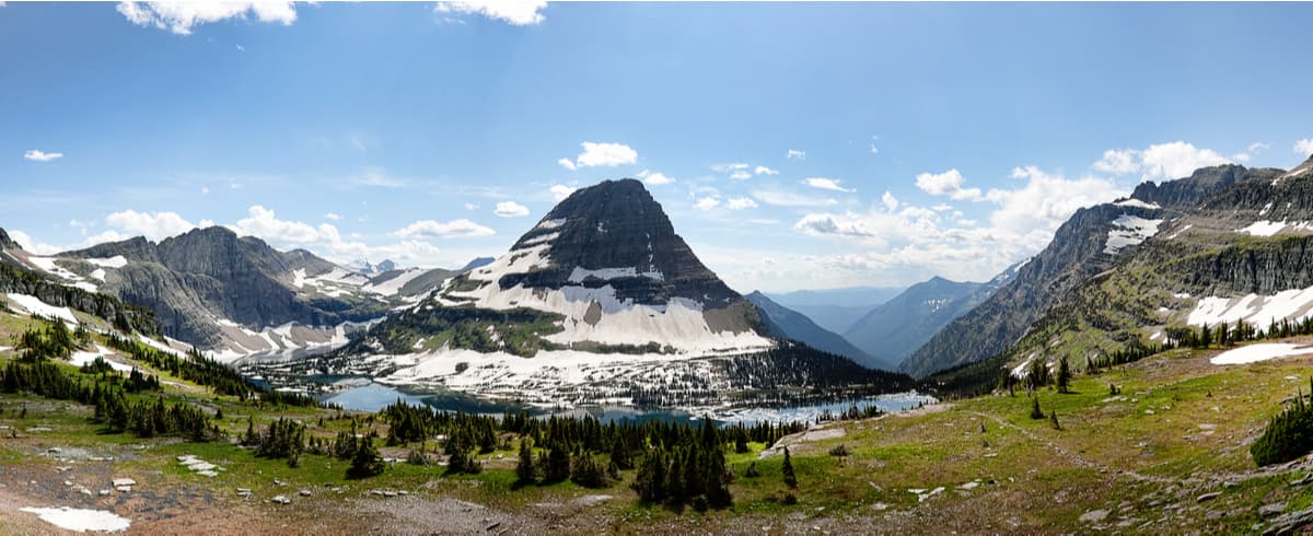
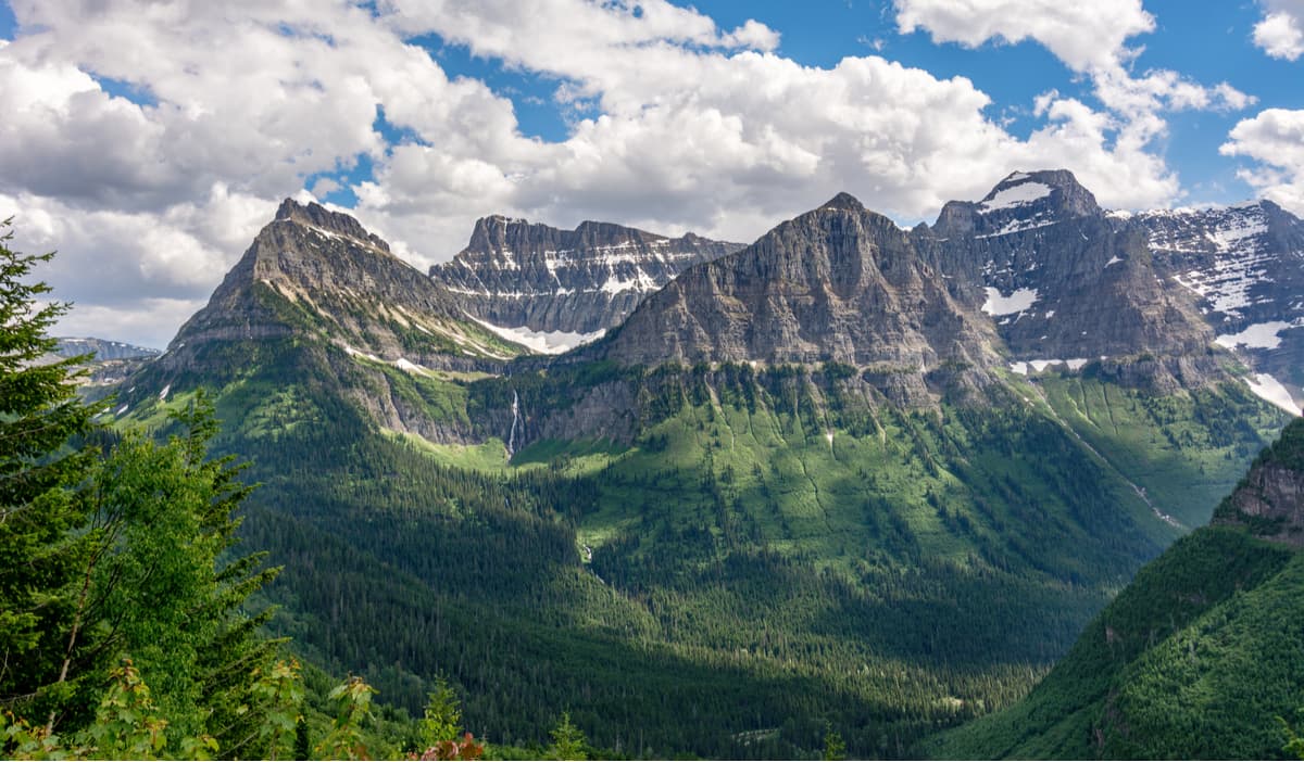
Located in the far northern reaches of Montana, along the Canadian border, the Lewis Range is home to 496 mountains, the highest and most prominent of which is Mount Cleveland. The Lewis Range actually crosses the Canadian border and is found within the Waterton Lakes National Park (Canada), Glacier National Park (USA), and Montana’s Bob Marshall Wilderness Area.
The range is well known for its dramatic scenery, which was carved out through extensive glaciation during the last glacial maximum. The Chinese Wall in the Bob Marshall Wilderness is of particular interest because the 1,000 foot (304m) face traverse the landscape for over 40 miles, making it a true wonder to behold.
The Little Belt Mountains are an island range located to the west of Montana’s state capital, Helena. The range is home to 90 named mountains, the highest and most prominent of which is Big Baldy Mountain.
Most of the Little Belt Mountains are found within the Lewis and Clark National Forest. The range is fairly popular among residents of nearby Great Falls, who use the regions many trails for hiking, climbing, and skiing. The Little Belt Mountains are also home to Showdown, a popular ski area located off of US Highway 89.
Situated near the Lewis Range along the Canadian border, the Livingston Range is located mostly within Montana’s Glacier National Park. This 36 mile (58km) long range is home to 41 named mountains, the highest and most prominent of which is Kintla Peak.
Like the Lewis Range, the Livingston Range is known for its dramatic relief, as many of the region’s mountains are 4,000 feet (1,200m) higher than the valley below. With over 15 summits that are above 9,000 feet (2,700m), the Livingston Range is home to some stunning alpine scenery in the northernmost part of Montana.
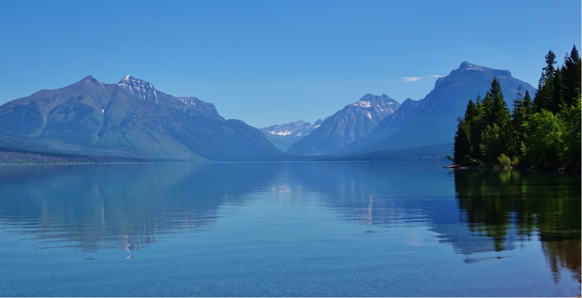
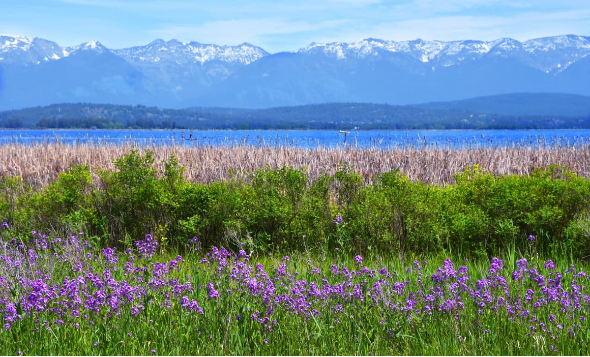
The Mission Range is located in the northwestern part of Montana near the Bob Marshall Wilderness. The Mission Mountains are home to 38 named peaks, the highest and most prominent of which is McDonald Peak. The range is located between Flathead Lake and the nearby Swan Range.
The Mission Mountains were named after the nearby St. Ignatius Mission in St. Ignatius, Montana, which was originally established in the mid-1800s by Jesuit ministers. The Mission Range’s jagged peaks are now quite popular backpacking spots for keen hikers in the region.
The Swan Range is located just north of the city of Missoula in the western part of Montana. Home to a collection of 126 named mountains, the highest and most prominent peak int the Swan Range is Holland Peak.
The Swan Range runs for about 99 miles (159km) in a north-south direction and is located just below the southern border of Glacier National Park. Even today, the jagged peaks of the Swan Range show plentiful evidence of the multitude of glaciers that carved out their features during the last major glaciation.
The Tobacco Root Mountains are located in southern Montana, mostly within the Beaverhead-Deerlodge National Forest. The range is home to 42 named peaks, the highest and most prominent of which is Hollowtop Mountain.
Although the historic basis for the name “Tobacco Root Mountains” is unclear, it’s believed that the range was named for a root in the area that was once used by native people and early trappers as a substitute for actual tobacco.
Here are some of the major cities and towns located within driving range of the Central Montana Rocky Mountains:
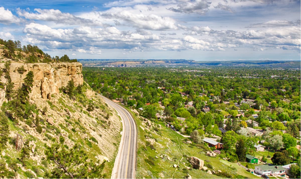
Billings is the largest city within Montana and is located just east of most of the range. However, it has great transport links to the rest of the United States, so is a great place to start your adventure to western Montana. With over 100,000 residents, you can find pretty much anything you need in Billings.
Located near the Idaho/Montana border, Missoula is a college town and is the second-largest city in Montana. Missoula is located at the convergence of five different mountain ranges, so is the perfect hub for alpine adventures.

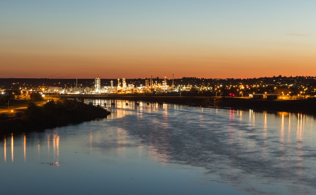
Great Falls is the third-largest city in Montana and is located in the north-central part of the state. The city is home to nearly 60,000 people and is very close to the Great Falls of the Missouri River that is known for its role as a major obstacle for the Lewis and Clark Expedition of the early 19th century. Great Falls is located just west of the Big Snowy Mountains, so it’s a nice place to stay if you’re headed to the eastern part of the Central Montana Rocky Mountains.
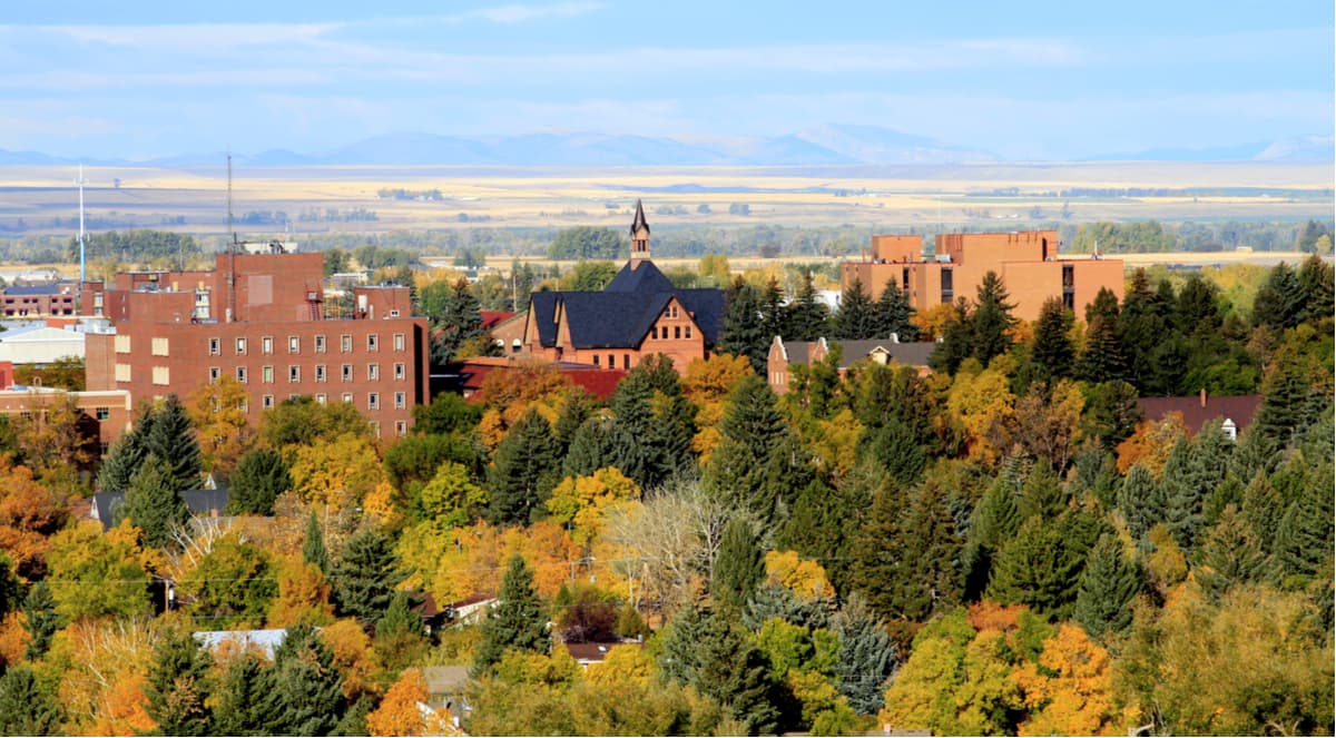
Situated in the southern part of western Montana, Bozeman is an outdoor enthusiast’s metropolis. Located close to Bridger Bowl Ski Resort, this city of almost 50,000 people is the fourth largest in Montana. It’s incredibly popular among outdoor enthusiasts and the local airport has good transport links across the western United States.
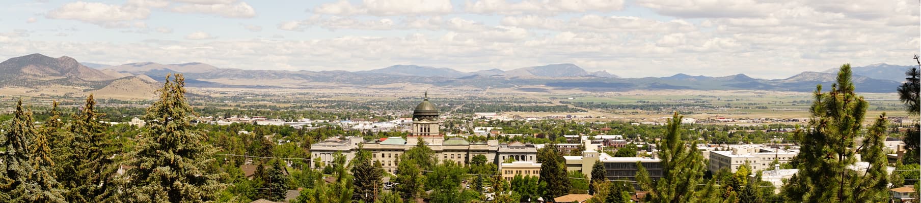
The capital of the state of Montana, Helena is home to some 30,000 people. The city is located near the intersection of I-15 and I-90, so it’s a nice place to stop on a road trip. Although it’s not the largest city in the state, Helena is close to both the Boulder and Elkhorn Mountains, so is a convenient place to start your adventures.
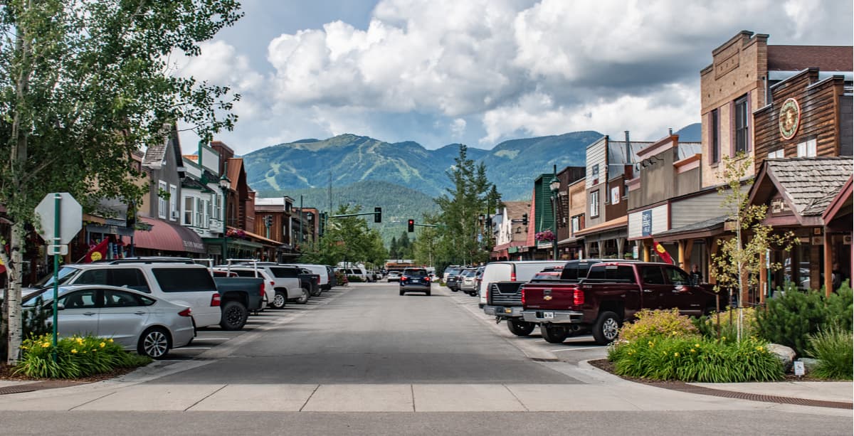
Whitefish is a mountain town located in the northern part of Montana. The town is home to over 6,000 people and is the location of the very popular Whitefish ski area. Whitefish is more or less located between the Central Montana Rocky Mountains and the Idaho-Bitterroot Rocky Mountains, so it’s an ideal location for forays into both ranges.