Scan the QR code and open PeakVisor on your phone
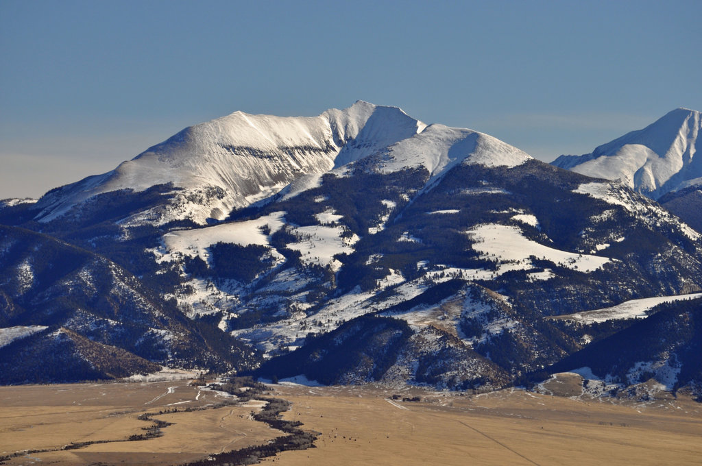
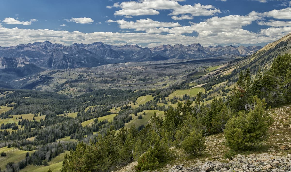
The Beaverhead-Deerlodge National Forest is the largest National Forest in the state of Montana. The forest spans 3.36 million acres and is broken into 9 separate sections. The two forests were established in 1908 by President Theodore Roosevelt and were later merged into one forest in 1996. There are 285 named mountains in Beaverhead-Deerlodge National Forest. Lone Mountain is the highest point at 11,161 feet. The most prominent mountain is Table Mountain with 4,393 feet of prominence.
There are over 1,500 miles of hiking trails, dozens of lakes, and over 250 miles of groomed snowmobile trails within the forest. While much of the forest is dominated by dense forest and rugged peaks, nearly 1/3 of the forest is covered in sagebrush, grass and cactus. The forest as a whole is home to grizzly bear, lynx, bald eagle, wolf, elk, moose, bighorn sheep, and black bear. Both the Continental Divide National Scenic Trail and the Nez Perce National Historical Trail cross through the Beaverhead-Deerlodge National Forest.
The Beaverhead National Forest section contains 64% of the total forest. Within this section lies the Pioneer, Gravelly, and Sapphire Ranges along with both the Centennial and Bitterroot mountain ranges. The Lemhi Pass, at 7,323 feet, is located in the Beaverhead Mountains and is where Lewis and Clark first saw the headwaters of the Columbia River which flow westward to the Pacific Ocean. Lemhi Pass was officially declared a National Historic Landmark back in 1960.
The Deerlodge National Forest section encompasses parts of the Tobacco Root Mountains, Flint Creek Range, and part of the Elkhorn Mountains. This section also straddles the Continental Divide. The forest is full of ghost towns, remnants of old mining regions.
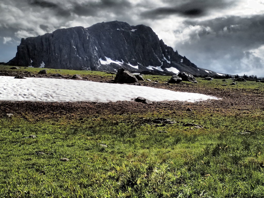
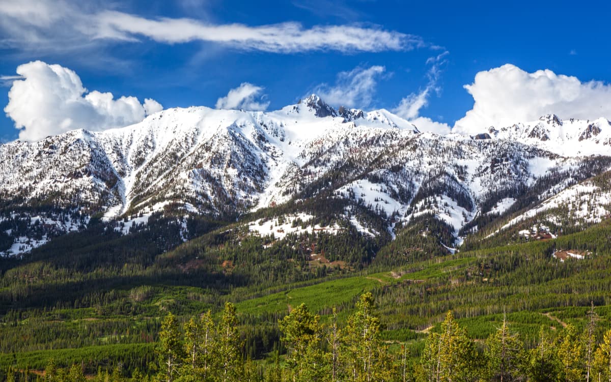
The Anaconda-Pintler Wilderness stretches 40 miles on both sides of the Anaconda Range covering 158,615 acres. The tallest peak in the range is West Goat Peak at 10,793 feet. This wilderness area has an extensive network of trails which make it a popular destination for “peak bagging”. Some notable peaks in the wilderness are West and East Goats Peaks, Warren Peak, Mount Evans and Fish Peak; all above 10,000 feet. There are a multitude of lakes in this region of the forest, many stocked with trout making it a popular region for fishing as well.
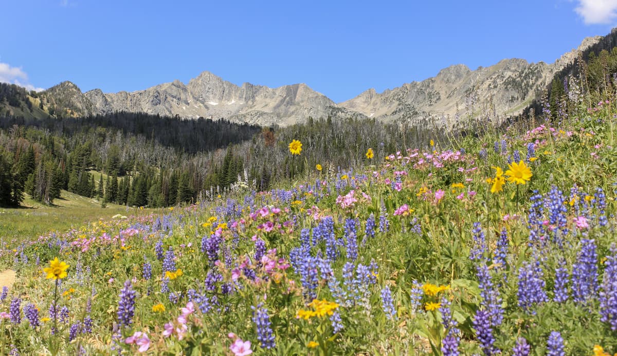
The Lee Metcalf Wilderness is located in the Northern Rocky Mountains in the state of Montana and spans 254,288 acres. The highest and the most prominent mountain is Hilgard Peak at 11,306 feet. To the south of the region lies the rugged Hilgard Peaks which includes Sphinx, the Helmet, Koch Peak and Hilgard Peak. There are approximately 70 lakes throughout the southern region of the wilderness, many that lie near Hilgard Peak. But this wilderness is not only mountain ranges. There are also vast grassy subalpine basins and meadows spread throughout the region.
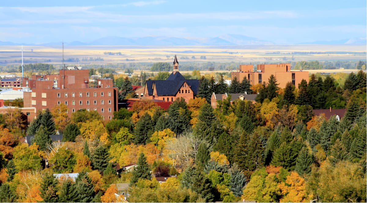
The city of Bozeman is one of the largest in the state of Montana. The population is estimated to be about 50,000 as the city saw a lot of growth over the past decade. The city is home to Montana State University and was named after John M. Bozeman who in 1864 established both the town and the Bozeman Trail. At an elevation of 4,820 feet the city experiences warm summers and snowy cold winters. Weather can change drastically from day to day. Bozeman is surrounded by mountains, making it a popular destination for outdoor adventure.
Big Sky is a small town with just over 2,000 full time residents. However, the city is located right next to the extremely popular Big Sky Ski Resort. Big Sky is 45 miles southwest of Bozeman and just 15 miles northwest of the border of Yellowstone National Park. While the city is dominated by skiing in the winter, the summer months offer hikes and mountain biking as well as local restaurants and pubs.
Just east of the Idaho-Montana border, is the city of Missoula, Montana. Located in western Montana, this city sits at the convergence of five mountain ranges and is known as the “hub of five valleys”. The population is approximately 75,000 and is the second largest city within the state. Due to the proximity to mountains, rivers, and public lands, the city is known for its outdoor spaces. Within the city lie 22 miles of trails and 5,000 acres of conserved open space. Sitting at the confluence of the Clark Fork, Bitterroot, and Blackfoot rivers makes the city a popular white-water rafting destination. During the winter months, snow sports take center stage in the surrounding mountains, cross country skiing trails, and snowmobile routes.