Scan the QR code and open PeakVisor on your phone
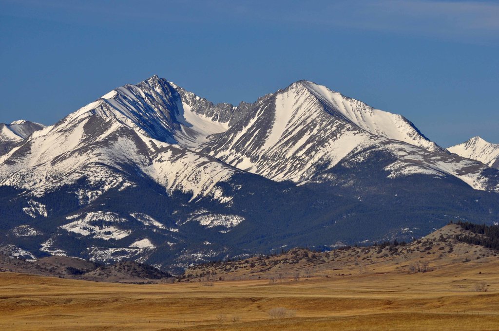
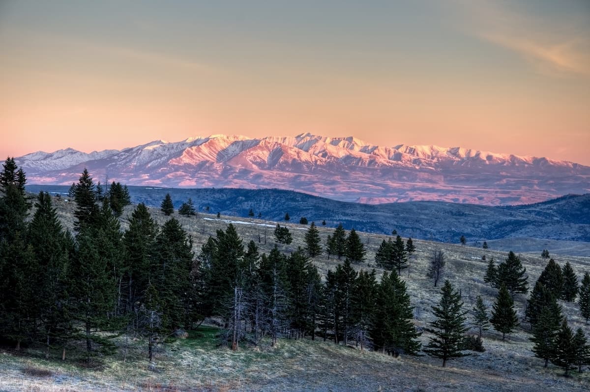
The Lewis and Clark National Forest is located in central western Montana in the United States. This forest spans 1,863,788 acres across 2,912 square miles. There are 151 named mountains in Lewis and Clark National Forest. Loco Mountain is the highest point at 9,242 feet. The most prominent mountain is Big Baldy Mountain. Overall the forest is divided into two major regions. The eastern side of the forest is often leased for cattle ranching and timber harvesting. The western side of the forest straddles the Continental Divide and is largely protected since a majority of the land is classified as wilderness. Elevation in the Lewis and Clark National Forest ranges from 4,500 up to the summit of Loco Mountain. This massive forest has seven separate regions while also encompassing eight mountain ranges. The ranges within the forest include Judith, Big Snowy, Little Snowy, Crazy, Castle, Little Belt, and the Highwood Mountains. Part of the western section of the forest is bordered by Glacier National Park. Within the forest lie sections of both the Bob Marshall Wilderness and the Scapegoat Wilderness.
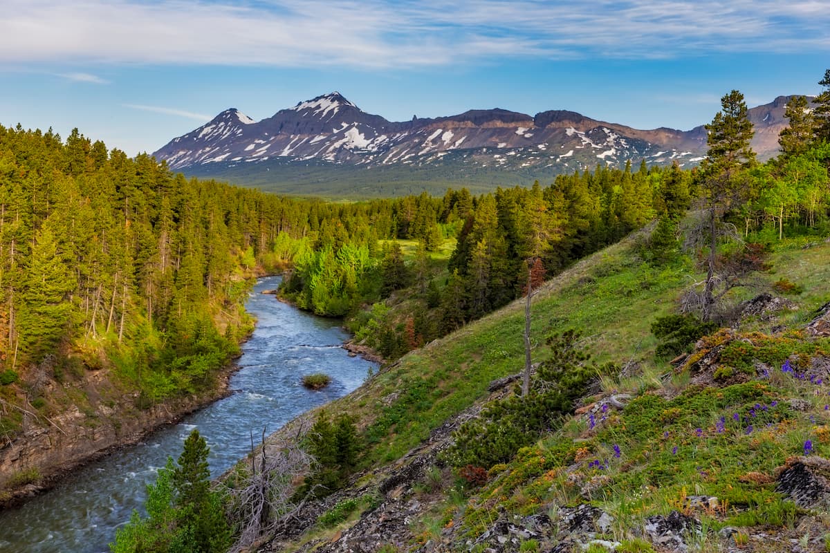
The western part of the forest is characterized by dense populations of spruce, fir, and pine trees. This region is home to a high population of both grizzly bears and timber wolves. Among this section are also populations of black bears, bighorn sheep, wolverines, mountain goats, cougars, and elk. The eastern side of the forest is not as densely forested, resulting in less of these animals inhabiting the area. The higher elevations of the western side of the forest provide ample conditions for the various lakes and streams. There are over 1,600 miles of waterways within the forest, home to various species of fish, making it a popular destination for fly fishing. When it comes to hiking, the Lewis and Clark Forest doesn’t disappoint, with nearly 1,500 miles of trails. The rugged western side of the forest is often only accessed by hiking trails.
The land that encompasses the Lewis and Clark Forest, was defined back in 1897. This occurred after the Treaty of 1896 that established the Blackfeet reservation next to the newly established forest. The forest itself was named after the Lewis and Clark Expedition traveling westward across the United States. Prior to this expedition, Native Americans inhabited this land for over 8,000 years. Members of the Blackfeet, Cheyenne, Crow, Flathead, and Sioux nations used this land.
Dearborn 206: As one of the most popular hikes in the forest, this route offers a diverse range of scenery. The 6.1-mile out and back trail has just under 700 feet of elevation gain. The trail weaves through the forest for the first two miles before offering views of the canyon and river running through it. The route provides large sections of shade, making it a great hike even during the warm summer months.
Our Lake: This 7-mile loop trail has 1,500 feet of elevation gain. At about halfway through the loop, hikers come across Our Lake. This picturesque body of water is surrounded by lightly forested peaks and shale landscapes. Hop in for a cold summer swim, or bring a fishing pole in hopes of catching something.
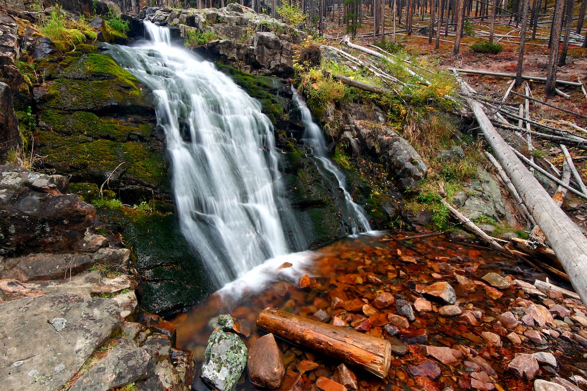
Memorial Falls: At just under one mile, the hike to Memorial Falls is great for all skill levels. The trail winds through dense forest, offering views of nearby cliffs, and eventually leading to the falls, rushing down over a rugged rock face. A great hike for the whole family, or a quick stop along the way to another hike.
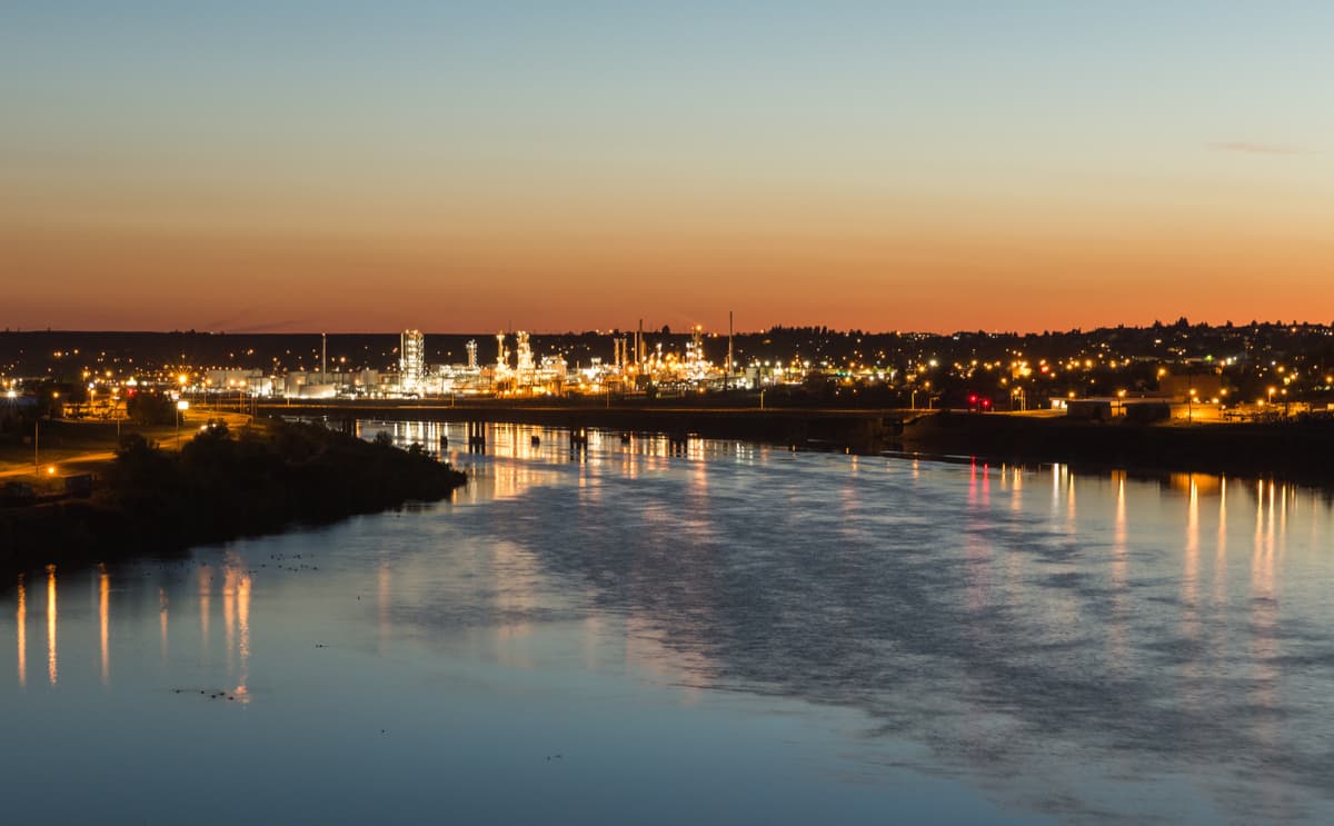
Located northeast of Missoula, lies the city of Great Falls, Montana. With a population of nearly 60,000 people, Great Falls is the third largest city within the state. The name of the city comes from the five waterfalls nearby along the Missouri River basin. To the south and west lie numerous mountain ranges and protected regions; including the Lewis and Clark National Forest, Helena National Forest, Flathead National Forest, and Glacier National Park. To the north and east lies the plateaus of Montana.
Just east of the Idaho-Montana border, is the city of Missoula, Montana. Located in western Montana, this city sits at the convergence of five mountain ranges and is known as the “hub of five valleys”. The population is approximately 75,000 and is the second largest city within the state. Due to the proximity to mountains, rivers, and public lands, the city is known for its outdoor spaces. Within the city lie 22 miles of trails and 5,000 acres of conserved open space. Sitting at the confluence of the Clark Fork, Bitterroot, and Blackfoot rivers makes the city a popular white-water rafting destination. During the winter months, snow sports take center stage in the surrounding mountains, cross country skiing trails, and snowmobile routes.