Scan the QR code and open PeakVisor on your phone
Established in 1972, the Scapegoat Wilderness Area covers roughly 239,000 acres of northwestern Montana. The Wilderness lies within the 1.5-million-acre Bob Marshall Wilderness Complex, one of the largest federally protected wilderness areas in the United States, and encompasses three national forests: Lewis and Clark, Helena, and Lolo.
Scapegoat shares a boundary with the Bob Marshall Wilderness, which in turn is connected to the Great Bear Wilderness further north. The park’s western boundary is shaped by the Continental Divide.
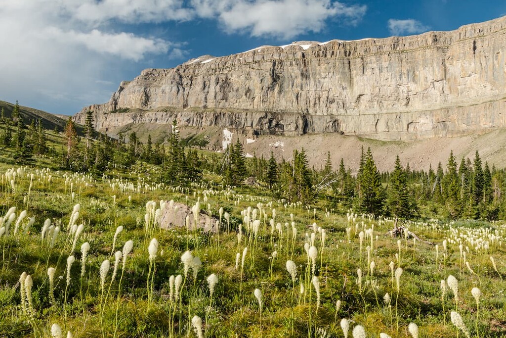
The northwest border of the wilderness is dominated by 9,206-foot Scapegoat Mountain, an imposing summit characterized by sheer, massive, limestone cliffs. Scapegoat Mountain’s massive cliffs are an extension of the Chinese Wall, a 1000’-high limestone escarpment that lies in the adjacent Bob Marshall Wilderness.
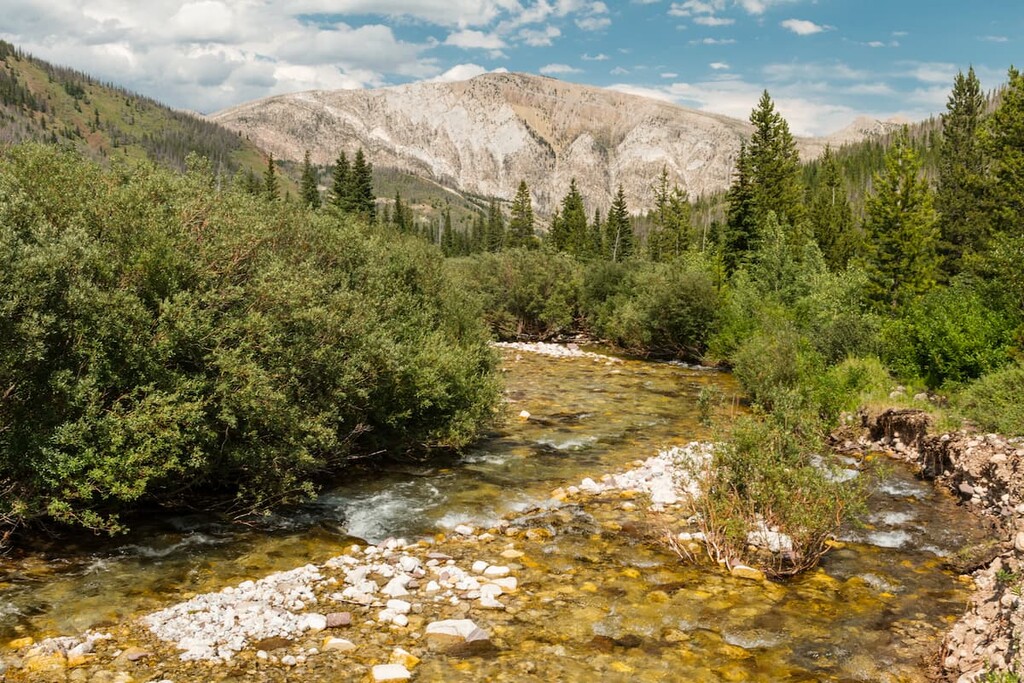
Elevations in the Scapegoat Wilderness range from 5,000 feet on the Blackfoot River to almost 9,400 feet at the summit of Red Mountain, the highest peak in the Complex. Scapegoat’s rugged ridge tops slope down onto alpine meadows, heavily forested hillsides, and timbered river bottoms.
Wildlife in the region includes wolverines, deer, elk, moose, grizzly bear, black bear, mountain goats, mountain sheep, and mountain lion. Several species of fish, including northern pike, cutthroat, rainbow trout, bull trout, and arctic grayling, are also plentiful in the park’s 14 lakes and 89 miles of streams.
Managed by the Forest Service, Scapegoat’s Wilderness designation ensures that the region is carefully and thoughtfully preserved and protected from development. Motorized or mechanized vehicles are prohibited in the Scapegoat Wilderness and no roads or buildings have been constructed in the area. Though there are no public facilities available, primitive camping is allowed with a proper permit.
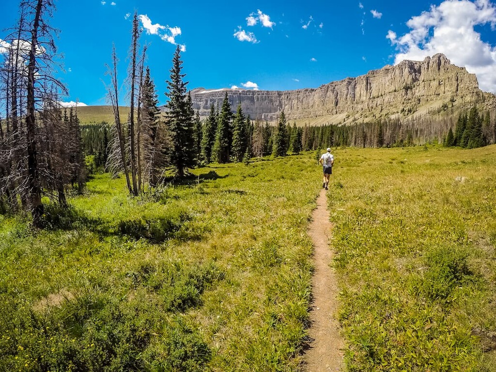
Crown Mountain is a cliff-linked peak that forms a portion of the southern Rocky Mountain Front on the eastern edge of Montana’s Sawtooth Range. A moderately trafficked, 8.8-mile trail leads through lush woods to the summit of Crown Mountain. After a quick scramble to the summit, hikers can appreciate incredible vistas of the surrounding wilderness.
Unlike Crown Mountain, reaching Scapegoat Mountain cannot be achieved in a day. However, for multi-day adventurers, summiting and exploring Scapegoat is a worthwhile achievement. Most hikers opt to drop by Scapegoat while traversing the wilderness via 3–7-day backpacking trips. Considered the crown jewel of the Scapegoat Wilderness, the Scapegoat Mountain massif region is considered one of the most scenic in the region.
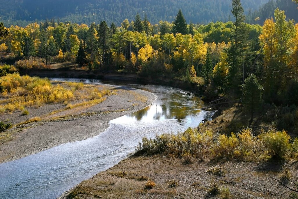
The 32-mile-long Hobnail Tom trail is a scenic footpath that parallels the North Fork of the Blackfoot River as it flows from its headwaters on the Continental Divide through a steep, glacially carved canyon. The trail’s low elevation makes it far more accessible than other higher-elevation, long-distance trails in the area. Generally, hikers take 3-5 days to enjoy the splendor of Hobnail Tom.
Just east of the Idaho-Montana border, Missoula lies at the convergence of five mountain ranges and is known as the “hub of five valleys.” The second largest city in Montana, Missoula is known for its access to popular outdoor recreation areas, including 22 miles of trails and 5,000 acres of conserved open space within the city itself. The city also lies at the confluence of the Clark Fork, Bitterroot, and Blackfoot rivers, making it a popular destination for white-water rafting.

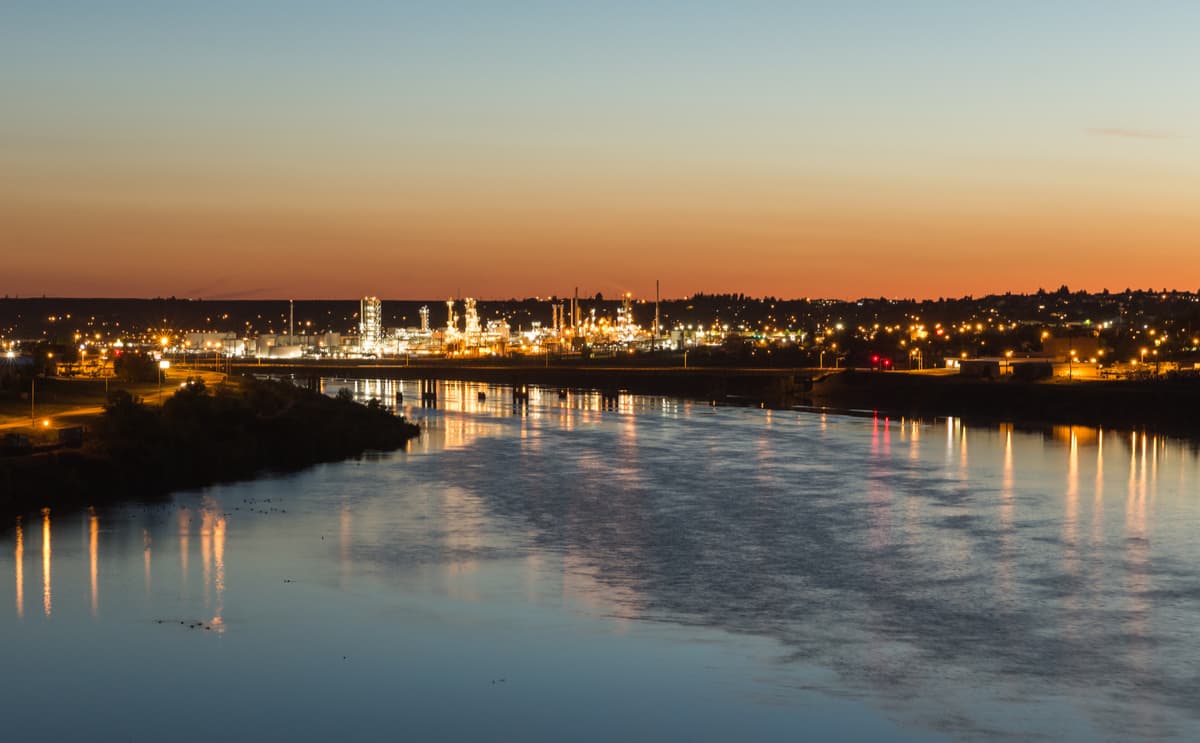
Located northeast of Missoula, lies the city of Great Falls, Montana. With a population of nearly 60,000 people, Great Falls is the third largest city within the state. The name of the city comes from the five waterfalls nearby along the Missouri River basin. To the south and west lie numerous mountain ranges and protected regions; including the Lewis and Clark National Forest, Helena National Forest, Flathead National Forest, and Glacier National Park.