
Scan the QR code and open PeakVisor on your phone
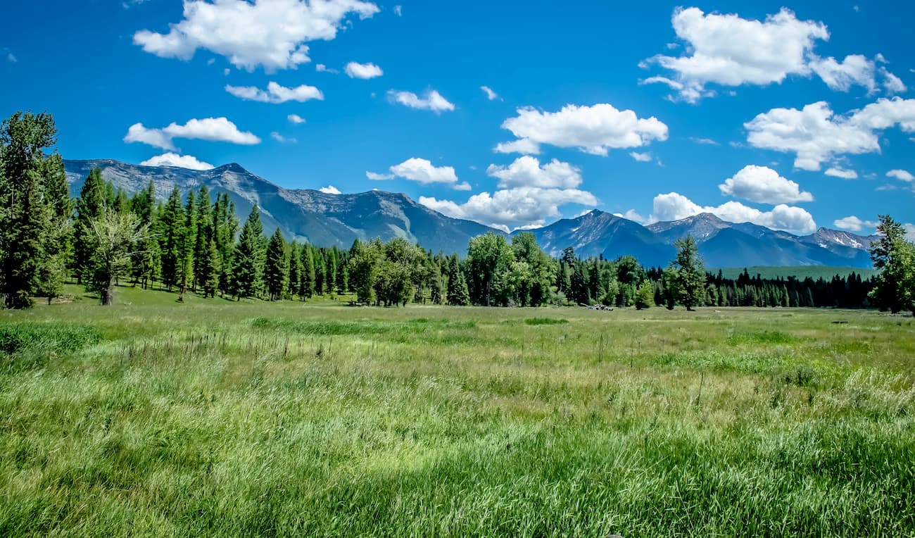
The Flathead National Forest is located in the western region of the state of Montana in the United States. Much of the national forest lies just south of Glacier National Park and spans 2,404,0935 acres. Nearly one million of these acres are designated wilderness areas. The name Flathead was chosen after the native population of the area. There are 137 named mountains in Flathead National Forest. The highest and the most prominent mountain is Holland Peak at 9,334 feet.
The Flathead National Forest is surrounded by numerous other protected areas. To the north lies Glacier National Park, to the east lies Lewis and Clark National Forest, to the south lies Lolo National Forest, and the Kootenai National Forest lies to the west. The nearly one million acres of protected wilderness are the Bob Marshall Wilderness Area, Great Bear Wilderness Area, and Mission Mountains Wilderness Area. The entire national forest boasts over 2,800 miles of hiking trails; 38 of which are part of the Pacific Northwest National Scenic Trail. This trail begins in northwestern Montana and travels westward all the way to the Pacific Ocean out on the Olympic Peninsula in Washington.
This National Forest is located in the Rocky Mountains and has elevations ranging from 4,500 feet up to 9,334 feet at the summit of Holland Peak. Like much of Montana, the forest is home to grizzly bear, timber wolf, mountain goat, cougar, moose, elk, wolverine, Canadian lynx, bighorn sheep, and many more.
While there are an abundance of trails to hike during the warmer months, during the winter the forest is used for cross country skiing, snow shoeing, and downhill skiing with two resorts located in the forest. The Flathead National Forest is known for its abundance of foraging as well. Most common includes a variety of berries and mushrooms.
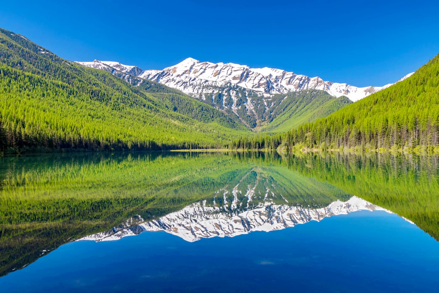
The trail to Holland Peak is 9 miles roundtrip with just over 5,600 feet of elevation gain. The trail is quite steep and difficult in order to get you to the tallest point in the entire forest. From the summit, look down upon Lower Rumble Creek Lake, as well as the Rocky Mountains and Flathead National Forest. Panoramic views make for one of the most beautiful sights in the entire forest.
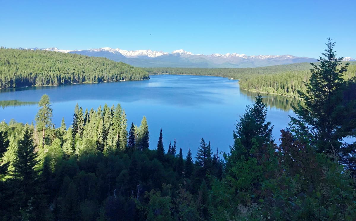
Holland Lake and Falls: Located near the base of Holland Peak, this hike is one of the most popular hikes in the entire forest. At 3.3 miles with just 485 feet of elevation gain, this trail climbs slowly above the lake to the falls with Holland Peak towering above.
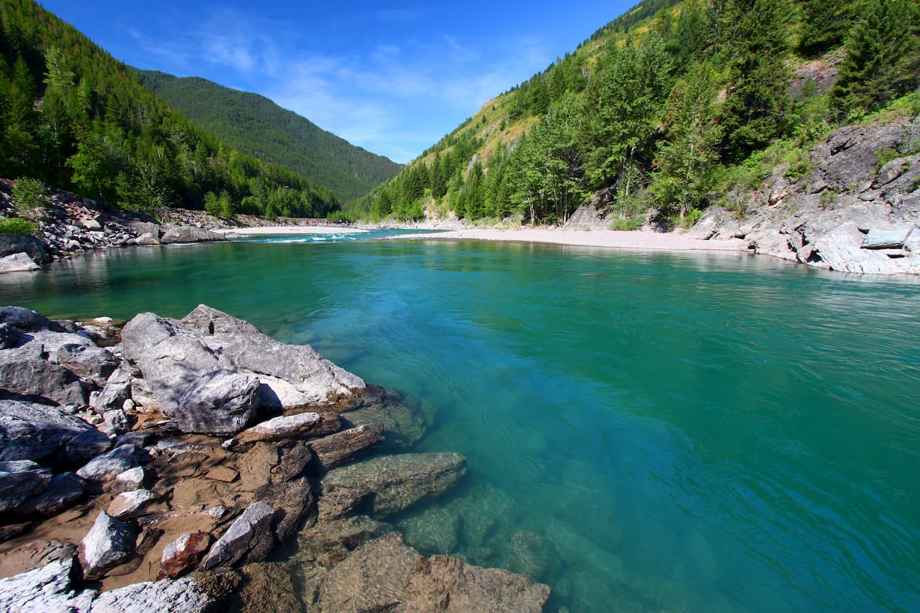
Like much of Montana, the Flathead National Forest is known for its abundance of alpine lakes. Stanton Lake is no exception with spectacular views and an abundance of fishing. The out and back trail totals 3.8 miles with 688 feet of elevation gain. The trail follows Stanton Creek up a steep trail before dropping slightly in elevation to reach the lake.
Mount Aeneas sits at 7,520 feet tall. Allowing for incredible views of the surrounding peaks and forest. Despite the elevation, the trail to the summit is 6.2 miles round trip with 1,781 feet of total elevation gain. Be sure to plan your hike according to the weather as this summit is prone to getting quickly engulfed by clouds.
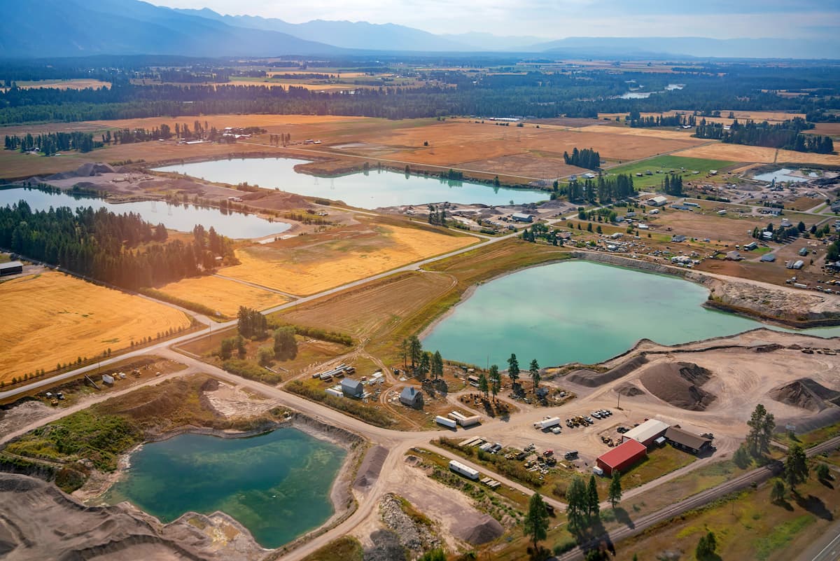
Kalispell is the closest major city to the Flathead National Forest. The micropolitan population totals at over 93,000, making it the largest city in northwestern Montana. Kalispell is closely located to an abundance of outdoor adventure. The city is located near Flathead National Forest, 31 miles from Glacier National Park, and just 22 miles from Hungry Horse Dam. During the winter months, the city is centrally located for snow sports. Both Whitefish Mountain Resort and Blacktail Mountain Ski Area are 17 miles from the city. The mountain city is home to local shops and cafes, perfect for staying at between your outdoor adventures.
Just east of the Idaho-Montana border, is the city of Missoula, Montana, surrounded by regions of the Lolo National Forest. Located in western Montana, this city sits at the convergence of five mountain ranges and is known as the “hub of five valleys”. The population is approximately 75,000 and is the second largest city within the state. Due to the proximity to mountains, rivers, and public lands, the city is known for its outdoor spaces. Within the city lie 22 miles of trails and 5,000 acres of conserved open space. Sitting at the confluence of the Clark Fork, Bitterroot, and Blackfoot rivers makes the city a popular white-water rafting destination. During the winter months, snow sports take center stage in the surrounding mountains, cross country skiing trails, and snowmobile routes.


