Scan the QR code and open PeakVisor on your phone
The Kootenai National Forest is located in the northwestern section of Montana and the northeastern section of Idaho. The entire forest encompasses 2.2 million acres spanning up to the US-Canada border. Over half of the Cabinet Mountains Wilderness is located with the Kootenai National Forest. There are 318 named mountains in Kootenai National Forest. The highest and the most prominent mountain is Snowshoe Peak at 8,737 feet.
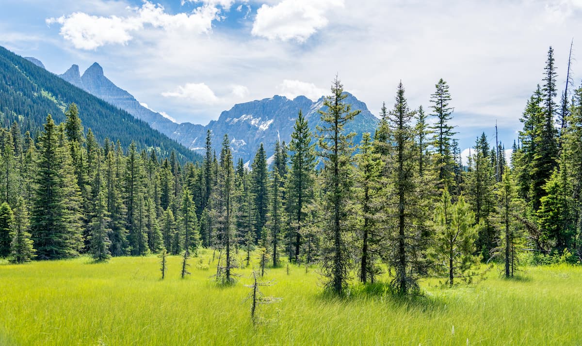
Within the forest lies numerous mountain ranges including Whitefish, Purcell, Bitterroot, Salish, and Cabinet ranges. The Pacific Northwest National Scenic Trail traverses through the forest for 90 miles between continuing westward. The two major rivers in the Kootenai National Forest are the Kootenai and the Clark Fork rivers. The rivers are fed by the immense rainfall in the region, that double rainfall in other regions of the state. There are three major hydroelectric dams within the forest including Libby Dam. Libby Dam, located on the Kootenai River, creates Lake Koocanusa which is 90 miles long and extends up into Canada. The Kootenai National Forest is characterized by its unique climate and is often compared to the climate of the Pacific Northwest.
Nearly all of the forest is located within Lincoln County, though it does extend into nearby counties as well.
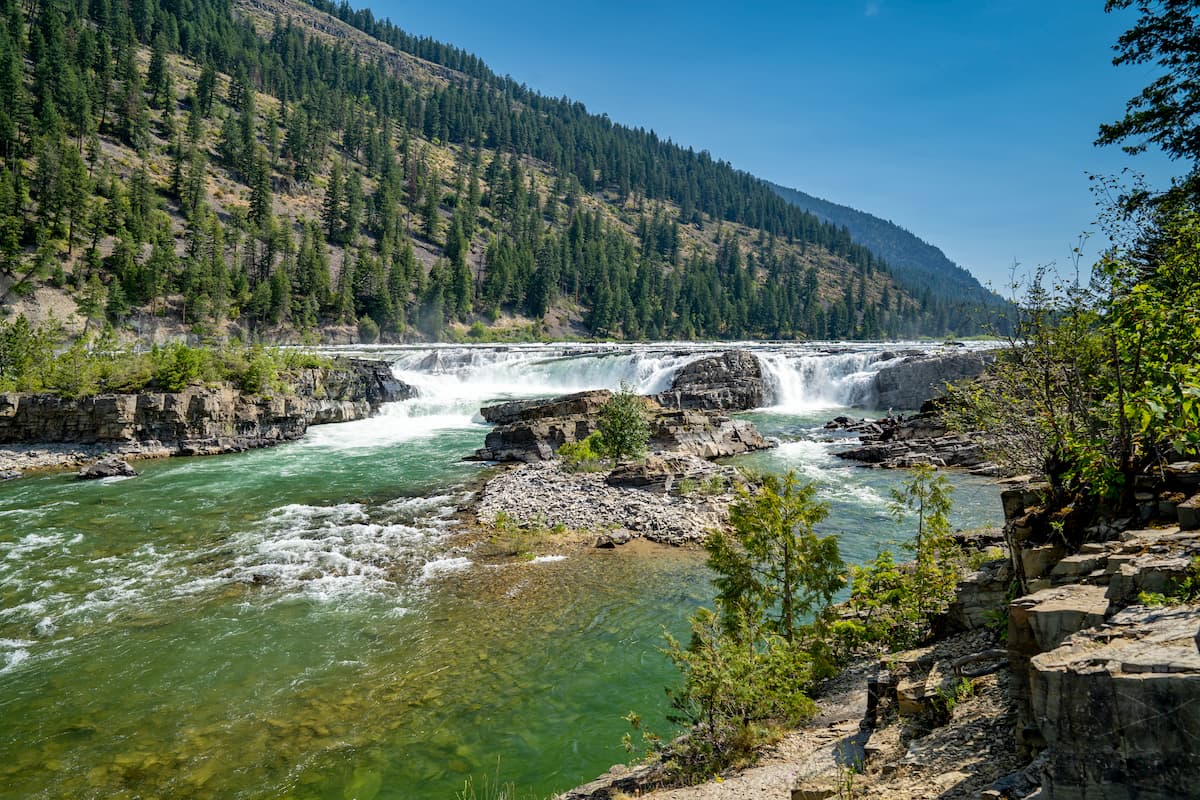
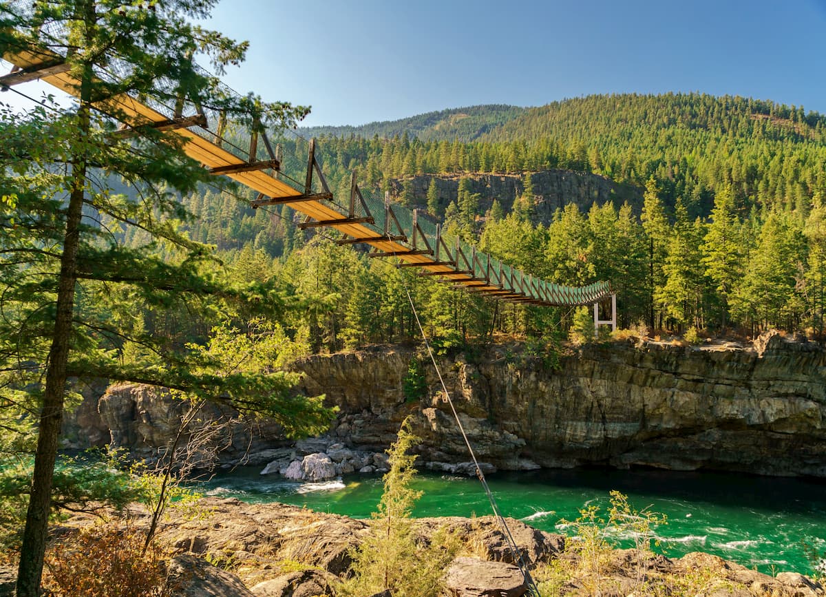
This trail is one of the most popular hikes in the national forest. At just 1.6-miles and under 200 feet of elevation gain, this trail takes you on a suspension bridge over the Kootenai river. The clear river rushes below as you can see small falls in the distance. From the parking lot there are other short trails that lead down to the water and to nearby viewpoints.
Located near the city of Libby this 2.7-mile hike has 1,171 feet of elevation gain. The trail climbs steeply through the forest and across rock fields. As the trail climbs you cross multiple creeks with views of waterfalls nearby. Once the trail reaches the lake, hikers are greeted with crystal clear waters, rocky peaks, and surrounding hills. Take a swim in the lake or climb up one of the nearby hills for expansive views of the lake and surrounding forest.
This trail totals 11.2-miles with 2,014 feet of elevation gain. The trail climbs steadily up to the lake. Once at the lake, there is a waterfall feeding into the water. The lake itself is surrounded by sharp peaks and dense forests. Granite Lake isn’t just known for hiking but also a popular destination for fly fishing.
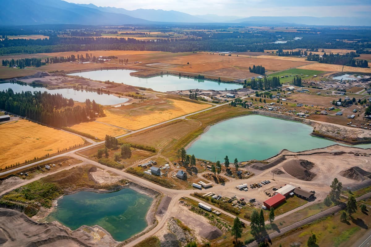
Kalispell is located very near to the Kootenai National Forest and is located in the northwestern section of Montana. The population is approximately 25,000 with a metropolitan area of almost 100,000. The name of the city comes from the Salish word meaning “flat land above the lake”. Kalispell is located just 7 miles north of Flathead Lake, the largest natural and freshwater lake located in the western United States. The downtown section of the city is home to local shops, craft breweries, distilleries, restaurants, and outdoor recreation opportunities.
Just east of the Idaho Panhandle National Forests is the city of Missoula, Montana. Located in western Montana, this city sits at the convergence of five mountain ranges and is known as the “hub of five valleys”. The population is approximately 75,000 and is the second largest city within the state. Due to the proximity to mountains, rivers, and public lands, the city is known for ites outdoor spaces. Within the city lie 22 miles of trails and 5,000 acres of conserved open space. Sitting at the confluence of the Clark Fork, Bitterroot, and Blackfoot rivers makes the city a popular white water rafting destination. During the winter months, snow sports take center stage in the surrounding mountains, cross country skiing trails, and snowmobile routes.

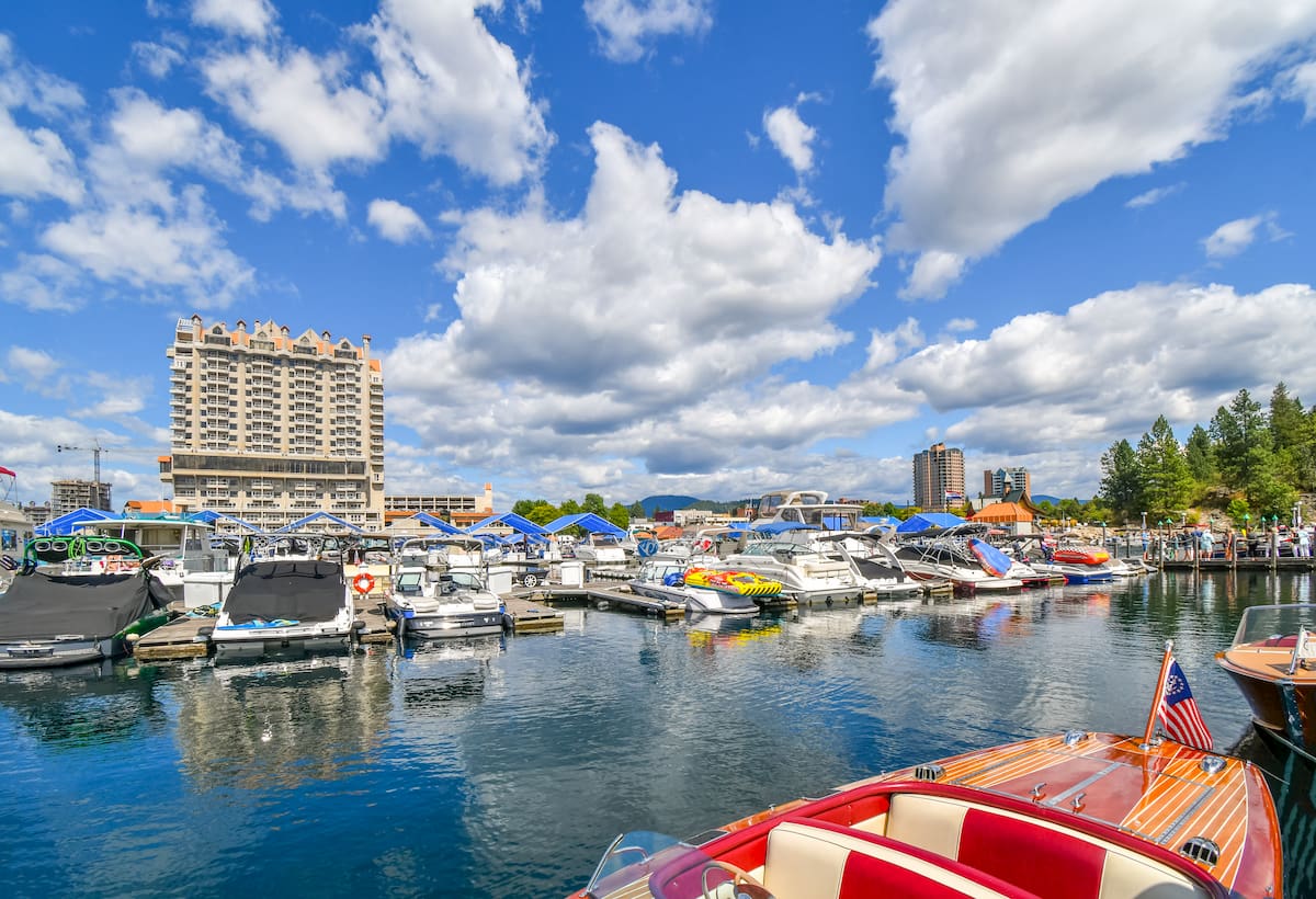
Located in northwestern Idaho, the city of Coeur d’Alene is located on Lake Coeur d’Alene. The city has a population of 50,000 which surges during the summer months due to the popularity of the large lake. The city is home to local restaurants, shops and is known for the water based activities and the trail systems in nearby Canfield Mountain Natural Area.