Get PeakVisor App
Sign In
Search by GPS coordinates
- Latitude
- ° ' ''
- Longitude
- ° ' ''
- Units of Length

Yes
Cancel
❤ Wishlist ×
Choose
Delete
The Purcell Mountains, which extend for nearly 300 miles, is a subrange of the Columbia Mountains that sits within southeastern British Columbia, Canada on the west side of the valley of Kootenay Lake and the Duncan River. Although American geographic classifications sometimes consider the Purcell Mountains to be a subrange of the Rocky Mountains, in Canada, the Rockies sit only on the east side of the Rocky Mountain Trench.
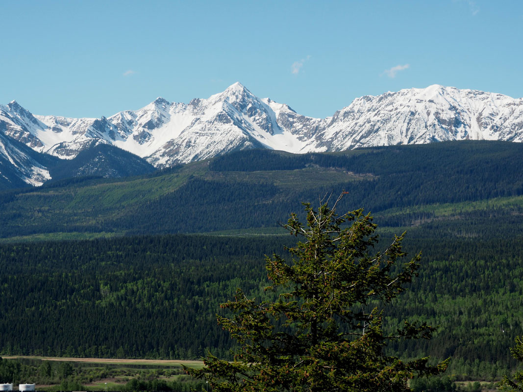
The Purcell Mountains contain many high-altitude summits, most of which reach above or near 10,000 feet in elevation. This subrange also sits beside several other notable subranges like the Selkirk, Monashee, and Cariboo Mountains and encompasses 467 named mountains.
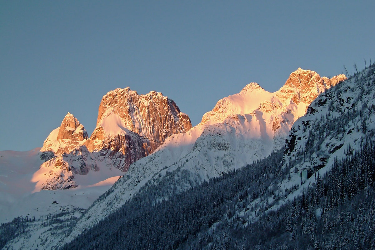
Generally speaking, the more rugged and glaciated peaks sit in the northern reaches of the range. In fact, the highest mountains and glaciers in the range are typically grouped together in compact subgroups like the Jumbo and Commander Groups. Together, these two groups contain the largest concentration of summits over 11,000 feet, including namesake peaks like Commander Mountain and Jumbo Mountain.
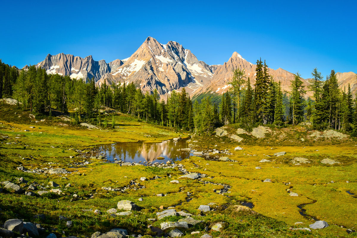
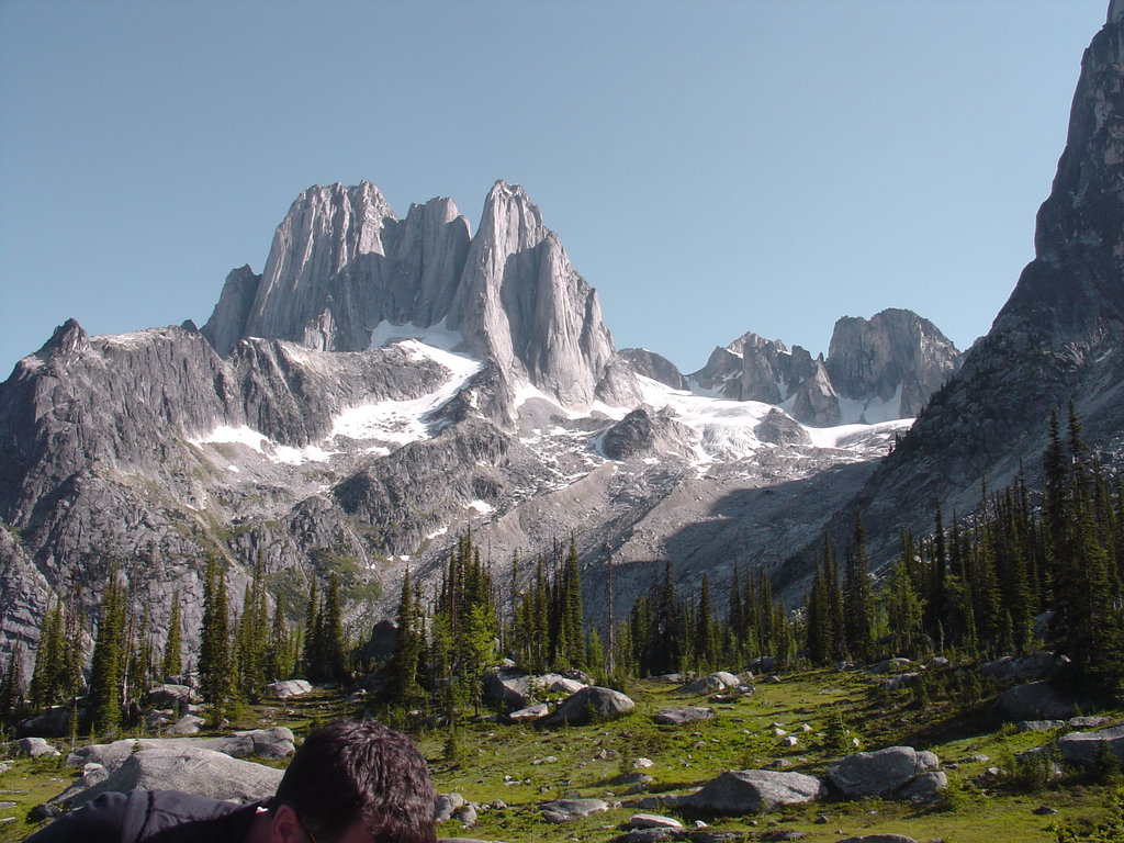
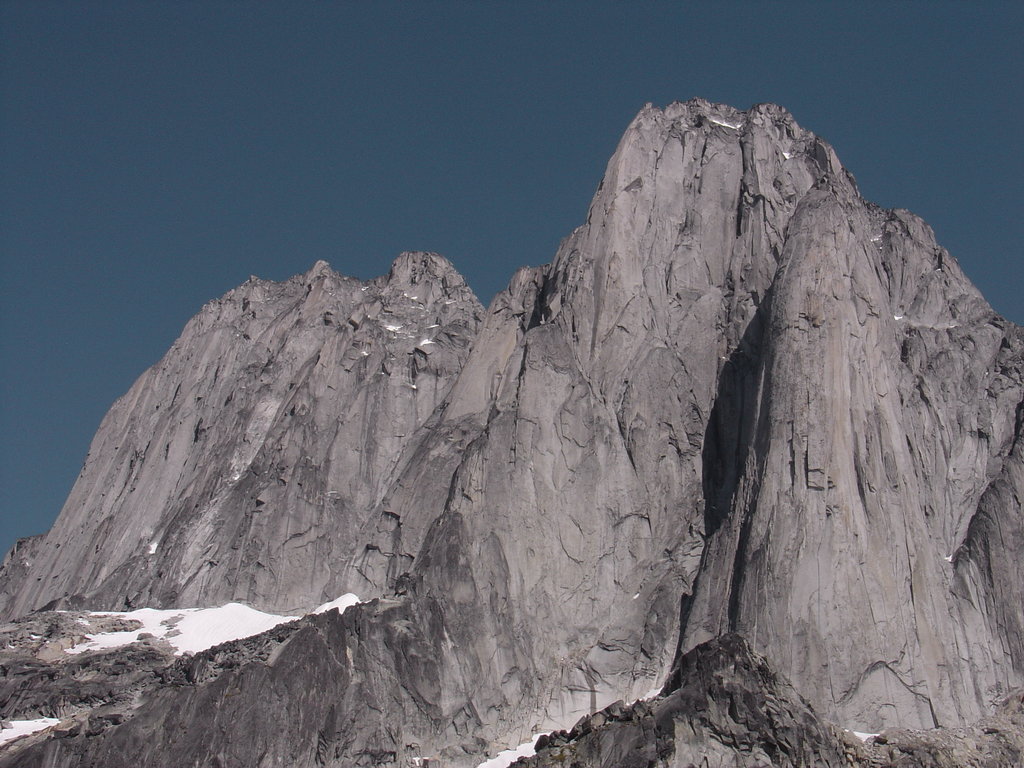
Additional noteworthy subgroups include the Toby Group and the Findlay Group, both of which are characterized by massive glaciers and remote alpine peaks like Mount Toby, Truce Mountain, Mount Findlay, Mount Morigeau, and Mount Rowand. A particularly notorious subgroup of the Purcells is the Bugaboos. Locally known as ‘the bugs,’ this incredible collection of craggy, granite spires is world-renowned for its alpine rock climbing and contains Howser Spire, Bugaboo Spire, Pigeon Spire, and Snowpatch Spire. The highest peak in the Purcell Mountains is Mount Farnham, an 11,460-foot giant that crowns the impressive Farnham Towers.
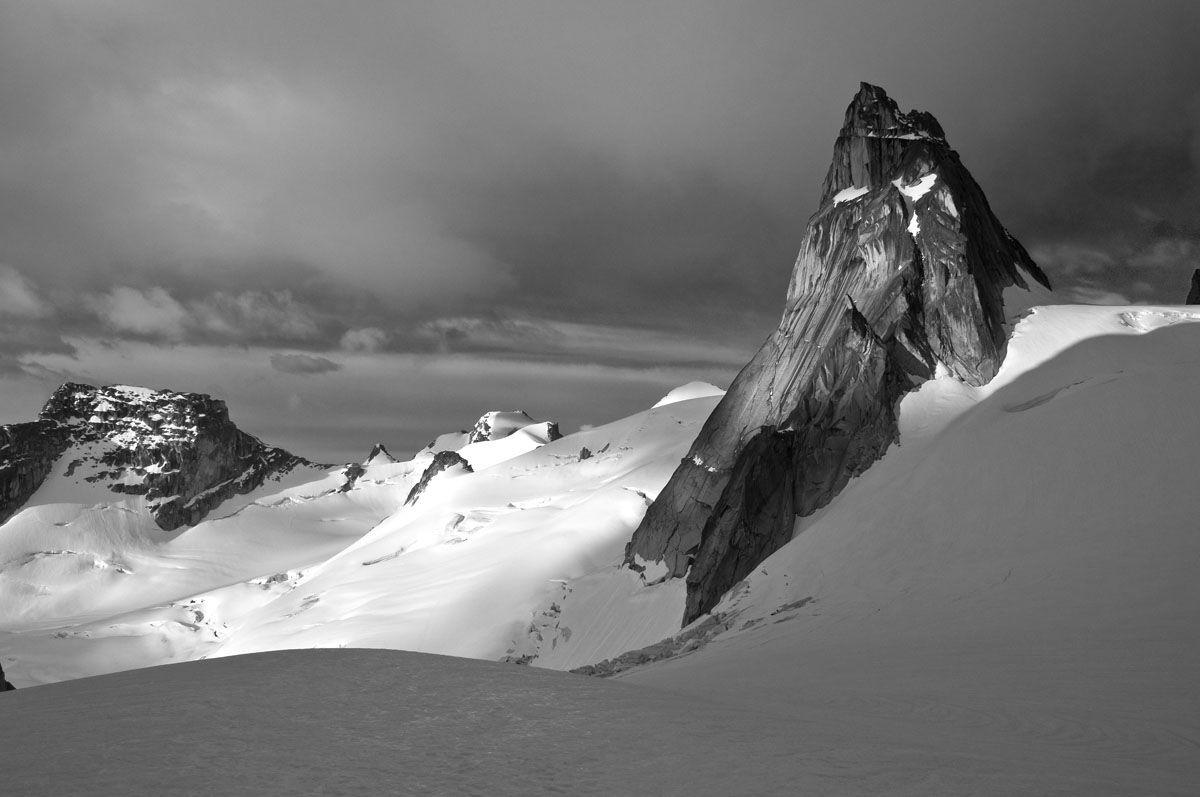
The Purcell Mountains, which began to rise 170 million years ago, are characterized by U-shaped valleys, spires, rubble-strewn moraines, crystalline lakes, and heavy glaciation. Today, hundreds of active glaciers, like the Conrad Glacier, Toby Glacier, Commander Glacier, and Bugaboo Glacier, still cover the high basins and slopes of the Purcells.
There are three provincial parks located in the heart of the Purcell Mountains: the St. Mary’s Alpine Wilderness, the Purcell Wilderness Conservancy, and the Bugaboo Provincial Park. In the winter, this region is popular amongst alpine skiers and snowboarders but is still incredibly remote and mostly inaccessible to the general public.
Aside from those previously mentioned, the highest and most noteworthy peaks in the Purcells include Mount Delphine, Mount Hammond, Karnak Mountain, Mount Peter, and Eyebrow Peak.
Tucked within the Purcell Mountains in southeast British Columbia, the Bugaboos continue to draw world-renowned climbers seeking classic lines on glacially-carved granite spires. Despite their popularity in the climbing community; however, the Bugaboos Provincial Park is still incredibly remote and caters primarily to experienced backcountry travelers and climbers. There are two seasonal campgrounds and a hut, Conrad Kain Hut, in the heart of the wilderness area, as well as several internationally acclaimed rock-climbing routes like the Beckey-Chouinard route on South Howser Spire, West Ridge on Pigeon Spire, Snowpatch and Surf’s Up on Snowpatch Spire, and the Northeast Ridge on Bugaboo Spire. Ski touring is also popular in the Bugaboos, and avid hikers will appreciate a handful of challenging treks like the Spires Trail and Cobalt Lake Trail.
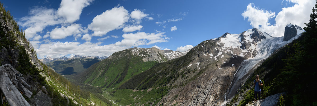
The Purcell Wilderness Conservancy, which covers the central region of the southern half of the Purcell Mountains, protects the massive drainages that stem from the rugged, glaciated backbone of this incredible mountain range. Like other wilderness areas in the Purcells, this region is remote, challenging, and undeveloped. In fact, this area is considered the largest intact ecosystem in southern B.C. However, visitors that are not experienced in backcountry, self-sufficient wilderness travel, can still explore the Purcell Wilderness conservancy area via several guided hiking, wildlife viewing, or hunting excursions. A popular feature of the park is the Dewar Creek Hot Springs, and popular backcountry trails include the Earl Grey Pass Trail, Fry Creek Trail, and Toby Creek to Earl Grey Pass. The tallest peaks in the Purcell Wilderness Conservancy area include Mount Toby, Mount Truce, and Mount Findlay.
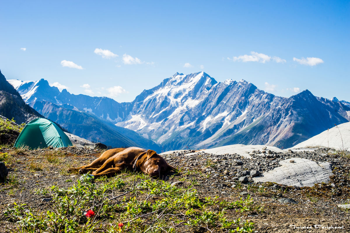
Like the other recreation areas in the Purcells, St. Mary’s Alpine Wilderness and Provincial Park is characterized by remote, rugged terrain and requires a high level of backcountry experience. Nevertheless, visitors to this region can hike to several alpine lakes and tarns, tackle rugged granite cliffs, and explore both alpine basins and enduring snowfields. There is not a lot of information on backcountry travel in this region, so visitors can expect to spend a considerable amount of time route-finding and bushwacking to reach their ultimate destination.
Open since 1990, the Purcell Mountain Lodge is a backcountry lodge located on the alpine slopes of Bald Mountain. Despite being tucked in the backcountry, the lodge is suited for all ages and abilities and offers luxury accommodations off the beaten path. In fact, professional guides are available to take visitors on backcountry excursions and ski tours every day. Advanced skiers can also ski off the alpine plateau towards the Selkirks, Beaver River Valley and Glacier National Park. There are a variety of alpine hiking trails to explore during the summer and spring, as well as a seemingly infinite amount of pristine, skiable terrain during winter months.
Kicking Horse, which sits just 4 miles from Golden, British Columbia, is a renowned resort that houses an incredible network of alpine biking trails including over 40 miles of trail, 29 trail runs, and over 120 drops and jumps. Offering over 120 trails across over 3,400 acres, Kicking Horse is a popular destination for alpine hiking, features a Grizzly Bear Refuge, and is known for its premier winter recreation potential. In fact, Kicking Horse is the sixth largest of any North American Ski Resort. The resort, which spans the easternmost slope of the Purcell Mountains, houses several iconic lodges that sit just steps from the epic alpine scenery. These lodges include the Glacier Mountaineer Lodge, Palliser ski in/ski out Lodge, and Copper Horse Lodge. There are also plenty of places to grab a bite to eat and kick back after a long day exploring the mountain.
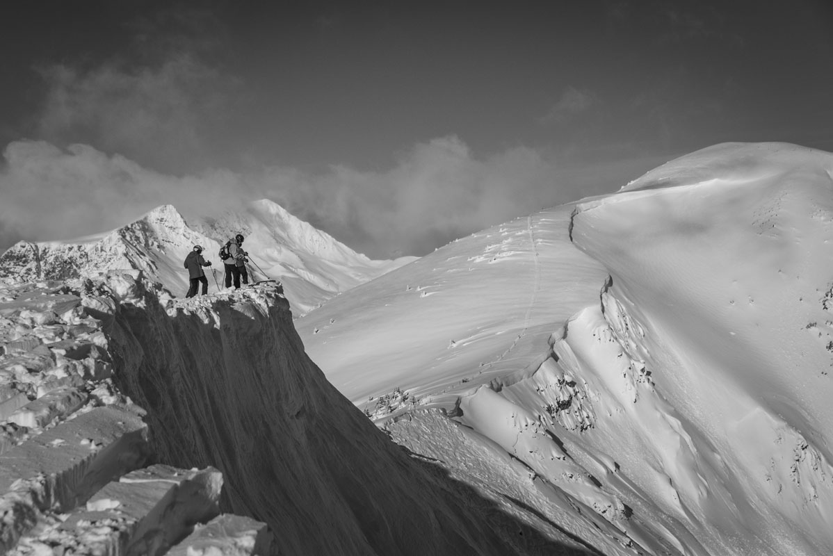
Panorama offers excellent skiing, accommodations, and special events for the whole family. Known as one of the most-complete ski-in/ski-out destinations in the region, Panorama sits in the heart of the village and features epic mountain terrain that is always just a few steps away. This all-seasons getaway offers visitors an opportunity to ski or snowboard on 3,000 acres of terrain across 4,265 vertical feet, heliski in the incredible Purcell Mountains, or go horseback riding, hiking, and mountain biking across various terrain. Lodging is comfortable and easy to come by, and there are plenty of restaurants, shops, and coffee shops to hang out at throughout your stay.
Explore Purcell Mountains with the PeakVisor 3D Map and identify its summits.


