Scan the QR code and open PeakVisor on your phone
The Cabinet Mountains Wilderness is located within the Kootenai National Forest and Kaniksu National Forest. that lies in northwestern Montana. The wilderness spans 94,272 acres across 35 miles. The Cabinet Mountains Wilderness is defined by the range of glaciated peaks and valleys. There are 40 named mountains in the Cabinet Mountains Wilderness Area. The highest and the most prominent mountain is Snowshoe Peak at 8,737 feet. The two major ridges are divided by two streams; Bull River which flows south to the Clark Fork River, and Lake creek that flows north to the Kootenai River.
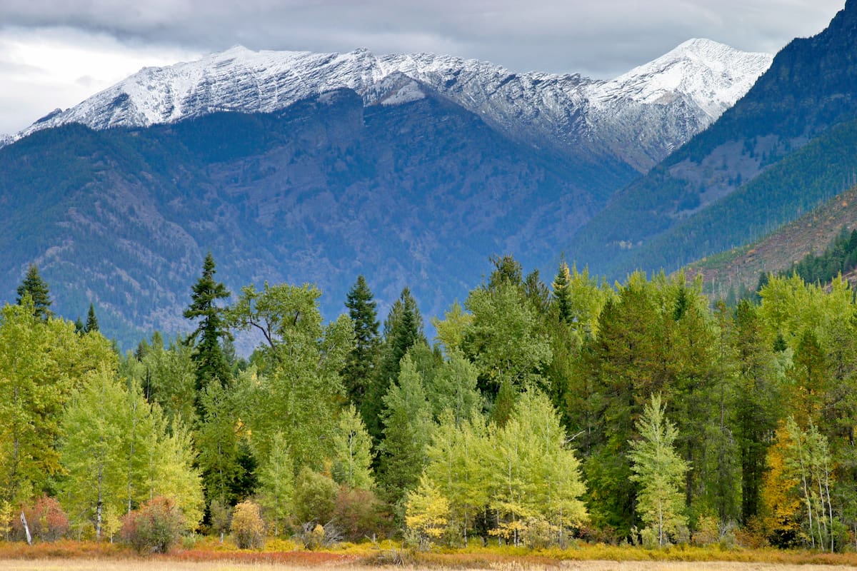
In 1935 the region was originally defined as a Primitive Area, later to be named a protected Wilderness with the passage of the National Wilderness Preservation Act of 1964. The Cabinet Mountains that define this wilderness were named by French explorers who saw the rugged peaks and though they looked like boxes of cabinets. The landscape within the wilderness is very diverse. The region contains the snow capped peaks of the rugged Cabinet Mountains, along with dense cedar forests, alpine meadows, deep blue lakes, and clear rushing rivers.
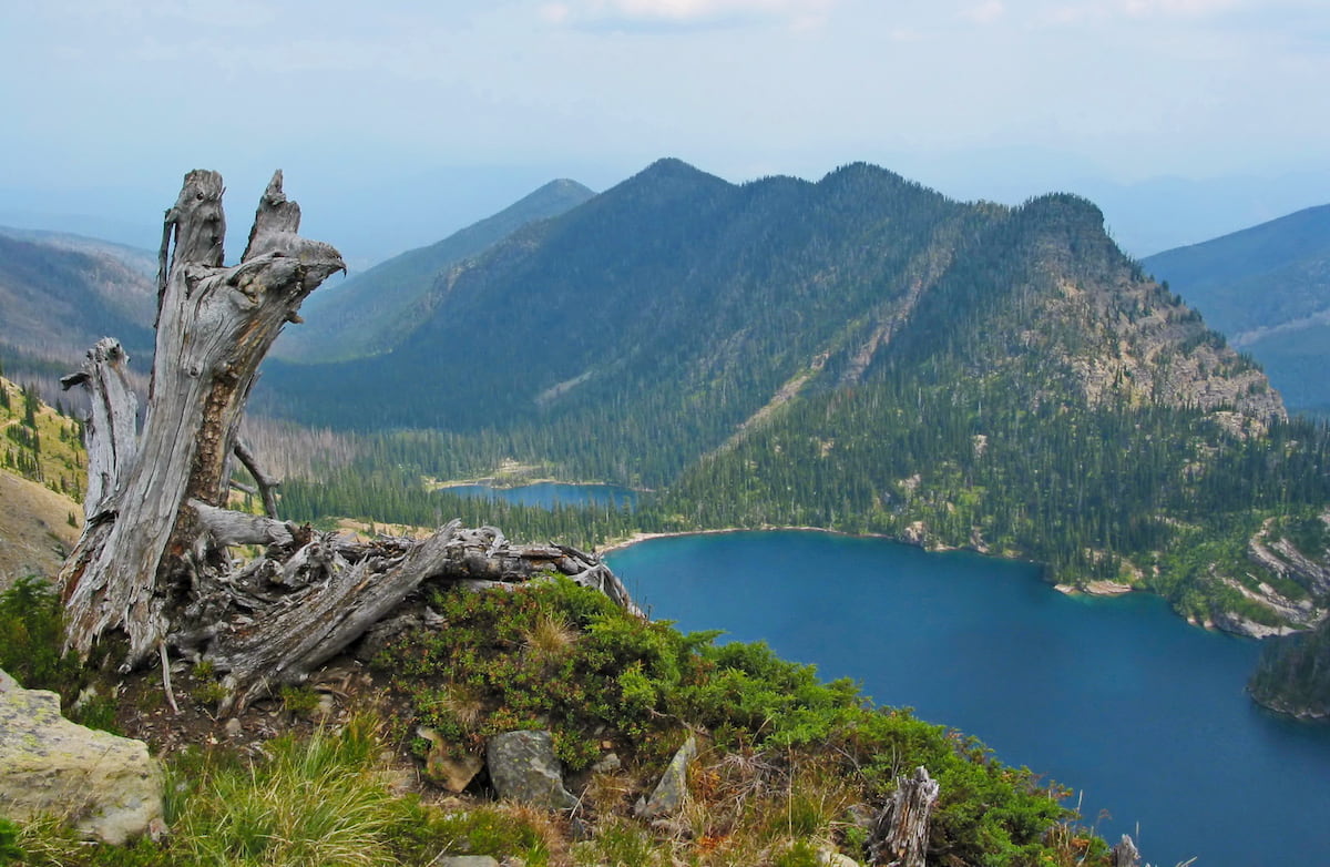
In the southeast part of the wilderness, mineralization was discovered. Since the early 1900’s the Snowshoe Fault has been used sporadically to mine in the area. The wilderness is also known for its incredibly pure and clean water. It is often said that the water from the wilderness is among the top 5% in the continental United States. The remnant of the Blackwell Glacier still exists within the wilderness, lying on the north slope of Snowshoe Peak. There are permanent snowfields found near both Elephant Peak and Little Ibex lake. The animals in the wilderness are similar to that of western Montana, including black bear, grizzly bear, wolf, moose, mountain goat, beaver, wolverines, mountain lions, and numerous others.
When it comes to hiking, the wilderness is divided into three major regions. The north end has an extensive network of trails that provide hikers with many options for loop hikes. The central area is one way with limited trail access. The heart of the wilderness is too rugged for trails though some experienced hikers bushwhack through the area to reach the Cabinet Mountain divide. Lastly the south end offers more loop trails, similar to the north end.
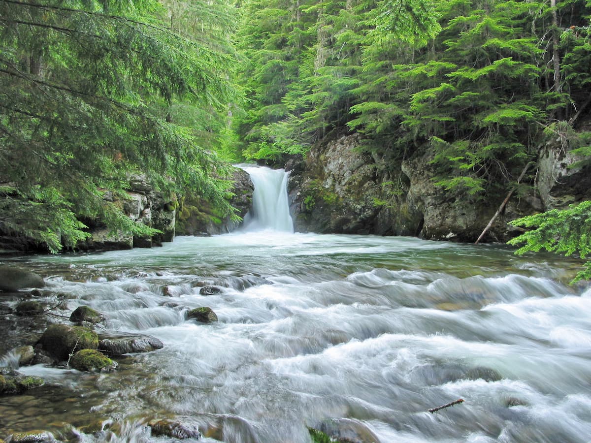
Saint Paul Lake Trail: One of the most popular hikes in the wilderness is Saint Paul Lake. This 7.1 mile out and back trail has 1,790 feet of elevation gain. The trail climbs steadily through the dense forest and cross creeks and streams along the way. The trail leads hikers to Saint Paul Lake, with crystal clear, deep blue water, while Saint Paul Peak towers overhead. Take a short walk around the lake, enjoy the views, or go for a swim to cool down. Note that the trail often closes during summer months due to the presence of bears in the area.
Priscilla Peak: This 9.2-hike is worth the work. The trail climbs 4,265 feet to reach the summit standing at just over 7,000 feet. The trail climbs the side of the mountain with the occasional tree coverage. At the top lies an old fire lookout tower and panoramic views of the wilderness as well as the surrounding National Forests.
Engle Lake: The 6.4 mile out and back trail to Engle Lake gives hikers a true taste of the Cabinet Mountains. The trail climbs 2,900 feet through the forest. Along the way hikers experience a high subalpine lake, ridgetop walking, expansive beargrass, and the possibility to scramble to a summit. Viewpoints along the way showcase the rugged peaks and rolling forests nearby.
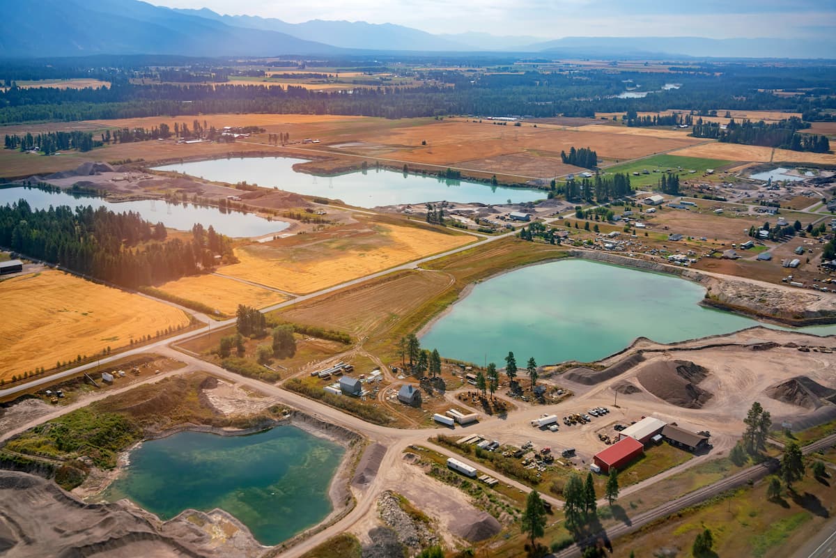
Kalispell located 1:30 to the east of the Cabinet Mountain Wilderness. The micropolitan population totals at over 93,000, making it the largest city in northwestern Montana. Kalispell is closely located to an abundance of outdoor adventure. The city is located near Flathead National Forest, 31 miles from Glacier National Park, and just 22 miles from Hungry Horse Dam. During the winter months, the city is centrally located for snow sports. Both Whitefish Mountain Resort and Blacktail Mountain Ski Area are 17 miles from the city. The mountain city is home to local shops and cafes, perfect for staying at between your outdoor adventures.
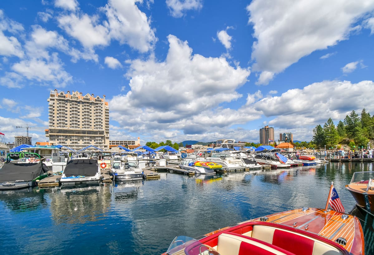
Located in northwestern Idaho, the city of Coeur d’Alene is located on Lake Coeur d’Alene and is 2:30 from the Cabinet Mountain Wilderness. The city has a population of 50,000 which surges during the summer months due to the popularity of the large lake. The city is home to local restaurants, shops and is known for the water-based activities and the trail systems in nearby Canfield Mountain Natural Area.
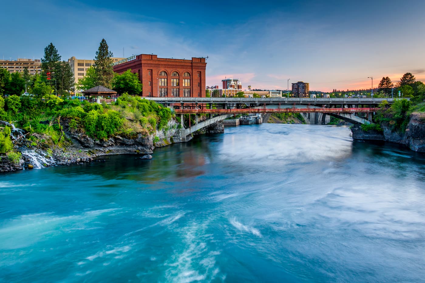
Located in Washington state, Spokane is just 20 minutes west of Coeur d’Alene. Spokane is the most populous city in eastern Washington. The Spokane river runs through the city while it sits 92 miles south of the Canada-U.S. border. With a population of 222,000, Spokane is the second largest city within the state of Washington. While most of the state’s population lives on the western side of the Cascade Mountain Range, Spokane is a hidden gem for any outdoor enthusiast. There are four ski resorts within two hours of downtown, while rock climbing, hiking, running, rafting, canoeing, and fishing are all accessible within minutes.