Scan the QR code and open PeakVisor on your phone
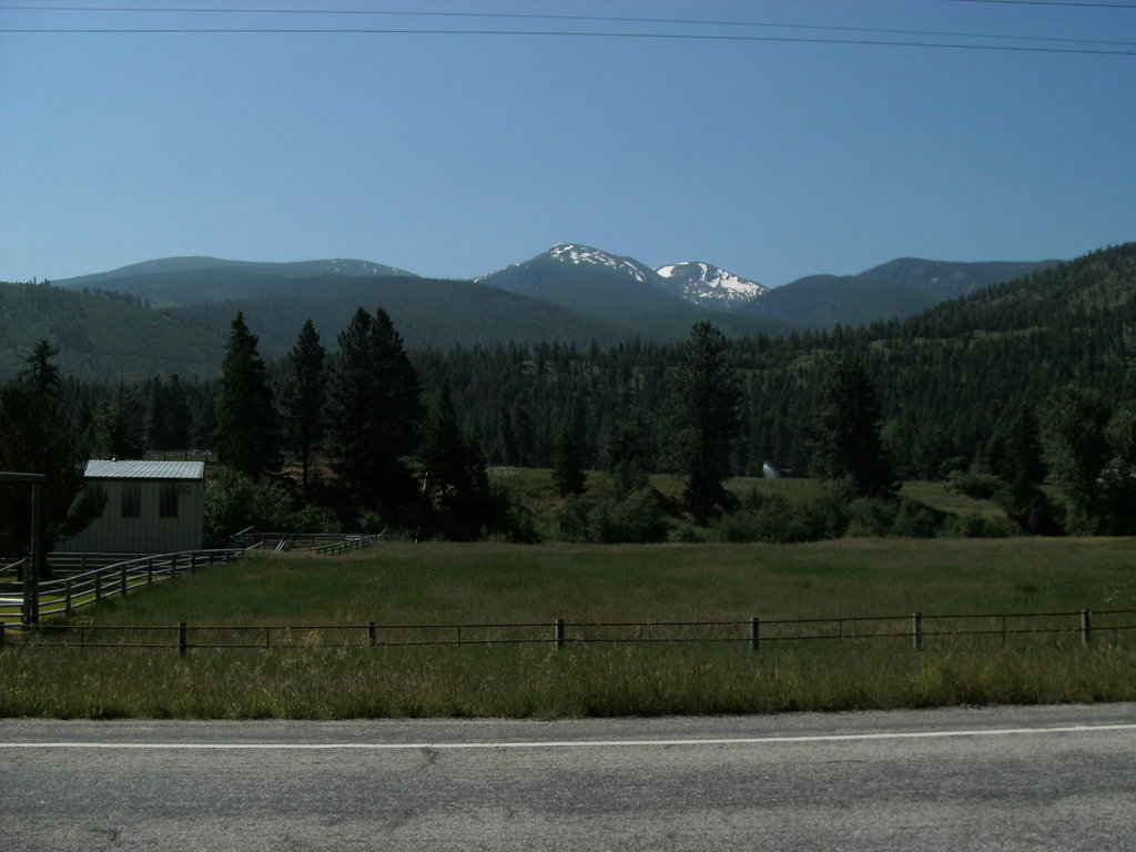
The Lolo National Forest is located in Montana in the United States with the western border being Idaho. The forest spans 2 million acres and encompasses four wilderness areas; Scapegoat, Selway-Bitterroot, Welcome Creek, and Rattlesnake Wilderness. There are 235 named mountains in Lolo National Forest. Fisher Peak is the highest point at 8,832 feet. The most prominent mountain is Thompson Peak.
The forest was established in 1904, combining four existing protected regions. The forest was later expanded in 1931, 1934 and 1954. The Lolo National Forest sits west of the Continental Divide which creates a diverse and robust ecosystem. In particular, Western red cedars grow to be the largest in the entire state, occasionally spanning over 8 feet in diameter. The forest is home to over 1,500 different plant species, making it some of the most ecologically diverse land in the state.
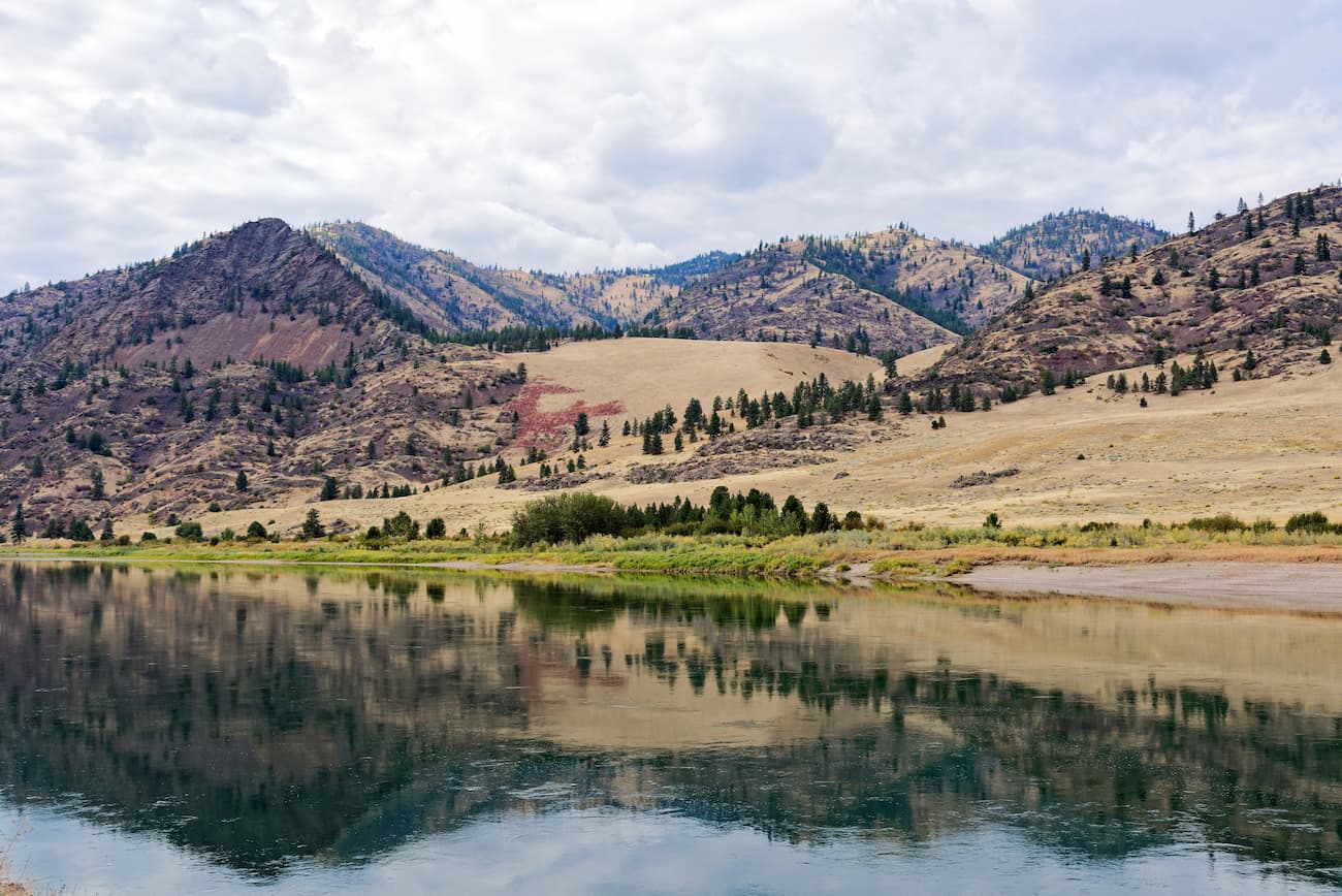
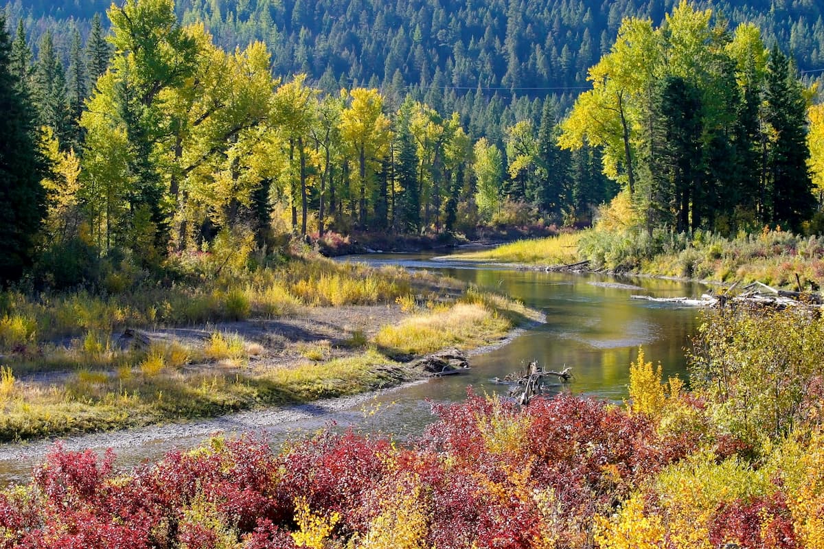
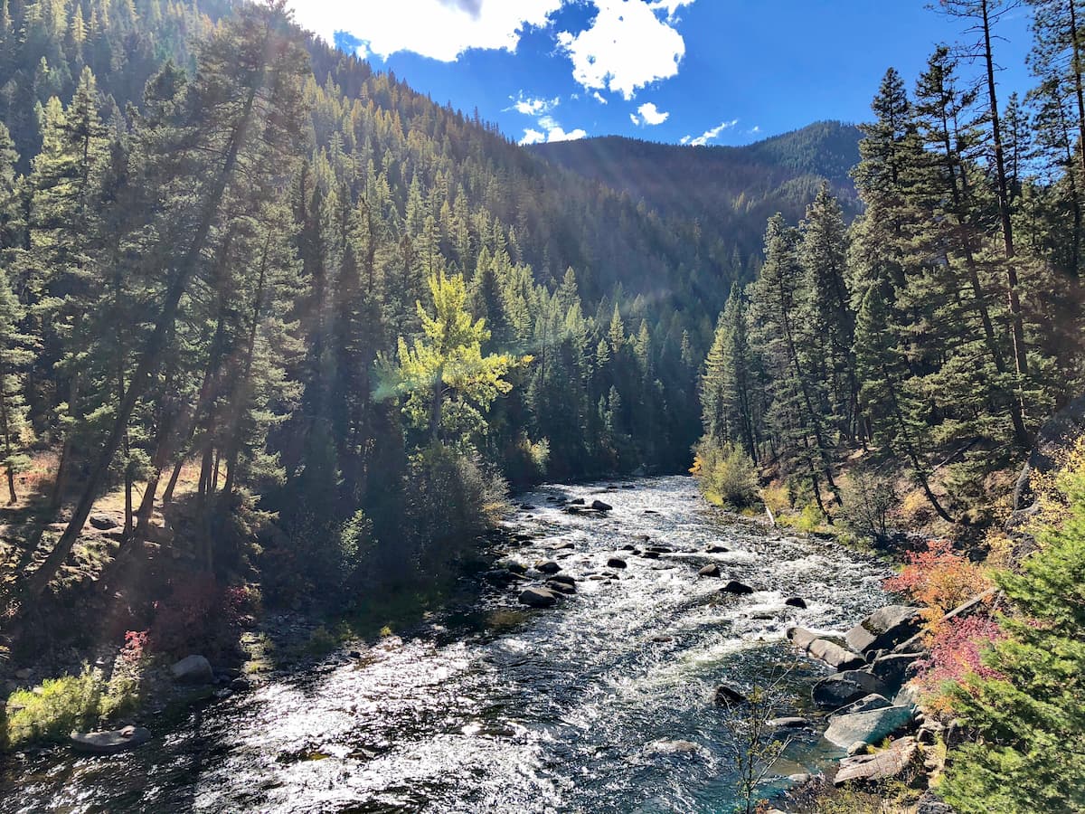
Similar to other regions of Montana, the Lolo National Forest is home to grizzly bears, black bears, cougars, bighorn sheep, elk, and moose. Bald and golden eagles also frequent the forest and much of the state. The Lolo National Forest is full of hiking trails. In total there are over 700 miles of trails. The forest is also known for its lakes. There are over 100 named lakes and five major rivers.
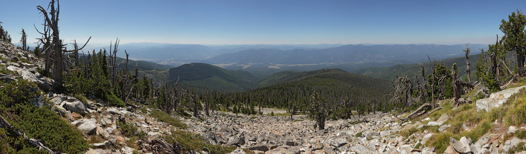
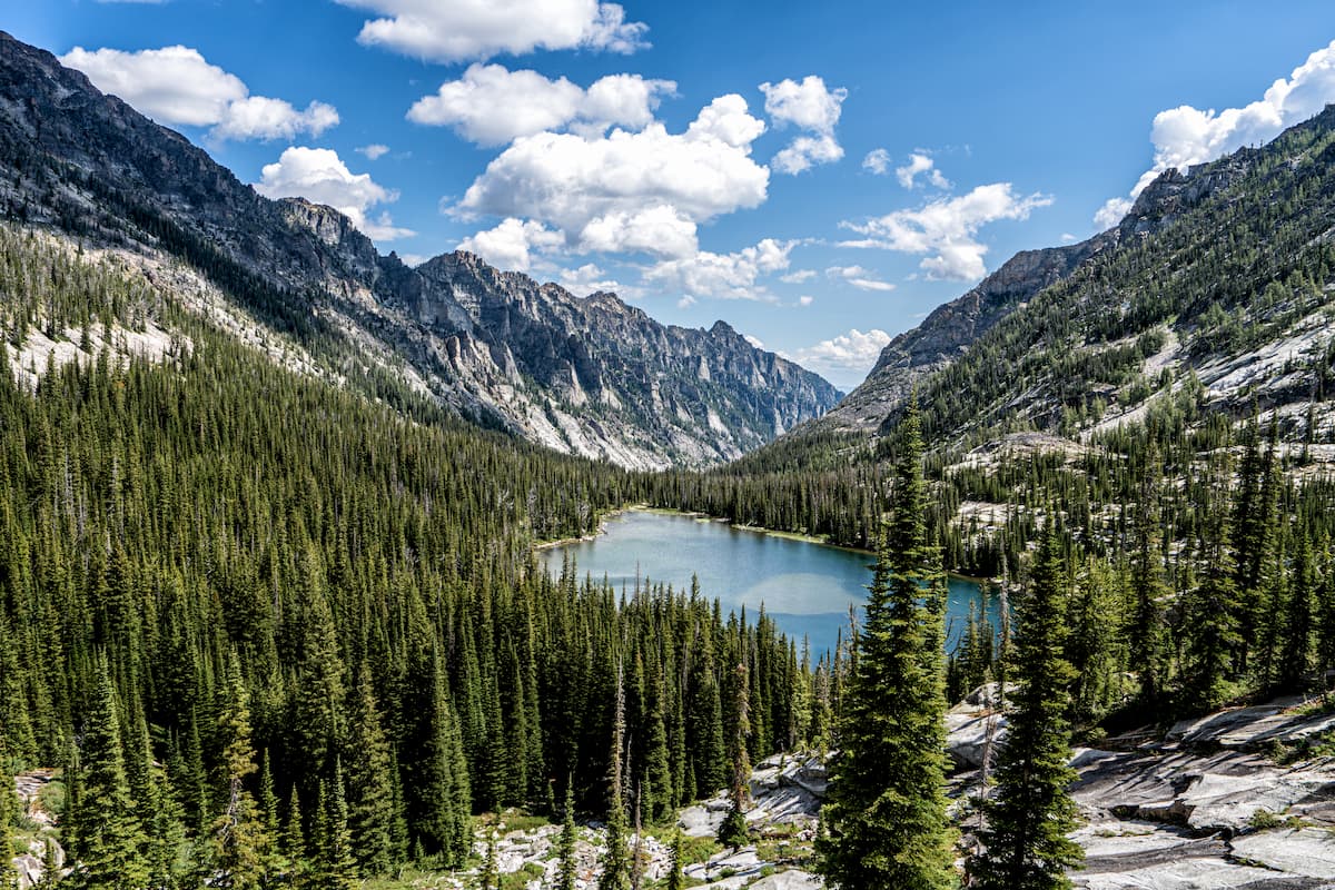
The largest wilderness in the Lolo National Forest is the Selway-Bitterroot Wilderness. The region spans 1.3 million acres and is the third largest wilderness in the continental 48 states. The wilderness covers sections of land in the Lolo National Forest, Bitterroot National Forest, Clearwater National Forest, and Nez Perce National Forest.
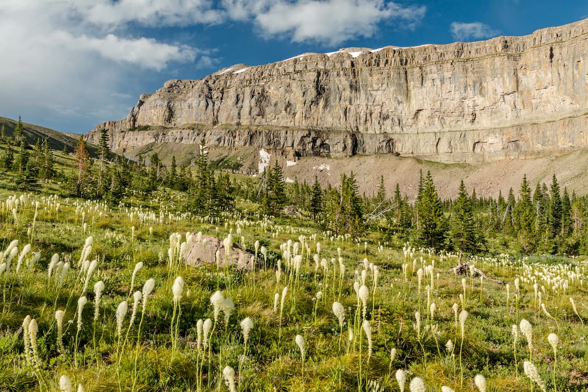
The Scapegoat Wilderness is the second largest in the national forest covering 239,936 acres. The western border of the wilderness is the Continental Divide that runs north to Canada. Elevations in the wilderness range from 5,000 feet up to 9,000 feet outside of the Lolo National Forest. The section of the national forest is dominated by spruce trees. Just in this region alone there are over 150 miles of trails.
This wilderness region was created in 1980, lies just 4 miles north of the city of Missoula, and spans 32,976 acres. The Rattlesnake Wilderness is part of the larger Rattlesnake National Recreation Area located within the Rattlesnake Mountains. A popular multi-day backpacking route in this wilderness is Carter Lake totaling 35.4 miles.
The Welcome Creek Wilderness is the smallest within the Lolo National Forest with just 28,135 acres. The wilderness lies in the northern region of the Sapphire Mountains and has a rich history. During the late 1800’s this region was home to a large gold rush at Welcome Creek. Today the wilderness protects the lower-elevation forest and it is scattered with abandoned gold mines.
Just east of the Idaho-Montana border, is the city of Missoula, Montana, surrounded by regions of the Lolo National Forest. Located in western Montana, this city sits at the convergence of five mountain ranges and is known as the “hub of five valleys”. The population is approximately 75,000 and is the second largest city within the state. Due to the proximity to mountains, rivers, and public lands, the city is known for its outdoor spaces. Within the city lie 22 miles of trails and 5,000 acres of conserved open space. Sitting at the confluence of the Clark Fork, Bitterroot, and Blackfoot rivers makes the city a popular white-water rafting destination. During the winter months, snow sports take center stage in the surrounding mountains, cross country skiing trails, and snowmobile routes.
Located in northwestern Idaho, the city of Coeur d’Alene is located on Lake Coeur d’Alene. The city has a population of 50,000 which surges during the summer months due to the popularity of the large lake. The city is home to local restaurants, shops and is known for the water-based activities and the trail systems in nearby Canfield Mountain Natural Area.
Though located in Washington state, Spokane is just under 2.5 hours from the Lolo National Forest. Located just southeast of the Okanogan Highlands, Spokane is the most populous city in eastern Washington. The Spokane river runs through the city while it sits 92 miles south of the Canada-U.S. border. With a population of 222,000, Spokane is the second largest city within the state of Washington. While most of the state’s population lives on the western side of the Cascade Mountain Range, Spokane is a hidden gem for any outdoor enthusiast. There are four ski resorts within two hours of downtown, while rock climbing, hiking, running, rafting, canoeing, and fishing are all accessible within minutes.