Scan the QR code and open PeakVisor on your phone
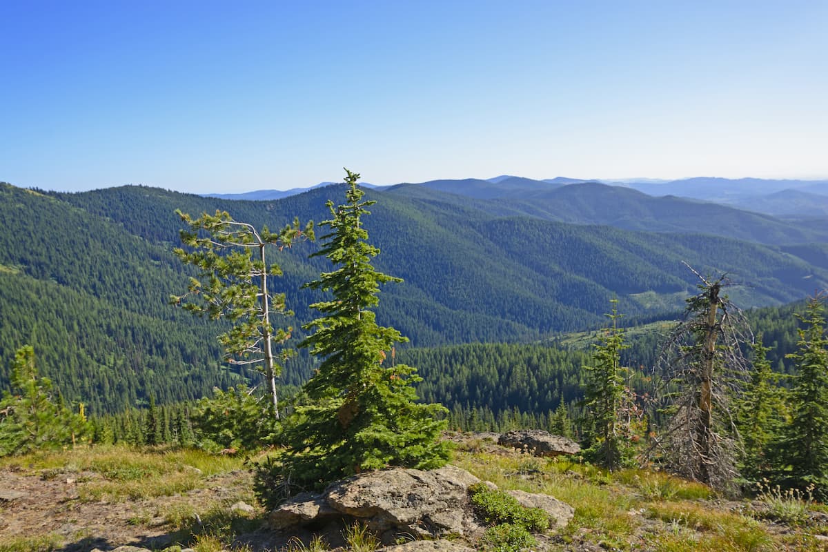
The Nez Perce National Forest is located in western Idaho and spans 2,224,091 acres. The forest itself is surrounded by numerous other protected regions with Payette National Forest to the south, Clearwater National Forest to the north and the Wallowa-Whitman National Forest to the west. There are 134 named mountains in Nez Perce National Forest. The highest and the most prominent mountain is Buffalo Hump at 8,907 feet.
The Nez Perce National Forest was established back in 1908 which at the time made the forest just under 2 million acres. In 1934 part of the Selway National Forest was added which expanded its size. In 2012 the Nez Perce National Forest was administratively combined with the Clearwater National Forest.
There are four separate wilderness areas that are partially located within this national forest; Frank Church-River of No Return Wilderness, Gospel Hump Wilderness, Hells Canyon Wilderness, and the Selway-Bitterroot Wilderness. The rugged landscape is home to wolf, raccoon, moose, black bear, deer, elk, coyote, cougar and a variety of other species commonly found in Idaho.
This 28-mile loop hike is one of the most popular hikes in the entire forest. The trail climbs through the eastern part region of the national forest and has a total of 6,548 feet of elevation gain. Most hikers complete the trail over the course of 2-4 days.
This trail is right on the border between Idaho and Montana. This short trail totals 2.6 miles with 918 feet of elevation gain. The summit of the butte offers surrounding views of the Nez Perce National Forest with Missoula sitting tot the northeast.
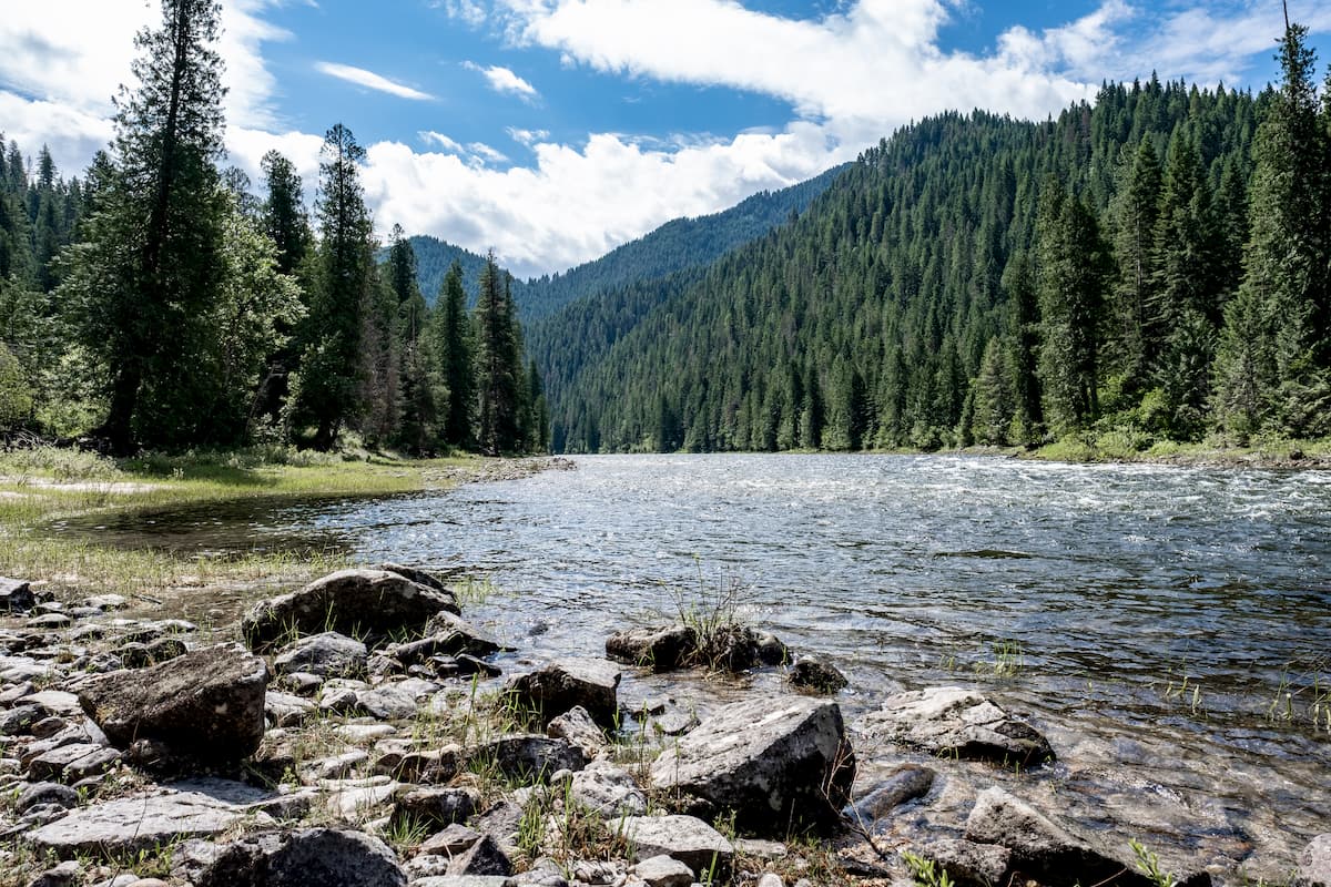
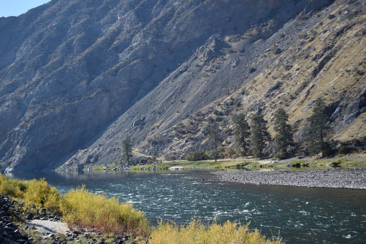
Another popular multi-day hike is an out and back trail that follows along the Snake River. This trail is 28 miles total with 4,888 feet of elevation gain. The trail winds next to the river that sits at the bottom of a shallow but rugged canyon. The nature of this hike makes it a multi-day route though hikers can cut it short for a day trip.
Just east of the Idaho-Montana border, is the city of Missoula, Montana, surrounded by regions of the Lolo National Forest. Located in western Montana, this city sits at the convergence of five mountain ranges and is known as the “hub of five valleys”. The population is approximately 75,000 and is the second largest city within the state. Due to the proximity to mountains, rivers, and public lands, the city is known for its outdoor spaces. Within the city lie 22 miles of trails and 5,000 acres of conserved open space. Sitting at the confluence of the Clark Fork, Bitterroot, and Blackfoot rivers makes the city a popular white-water rafting destination. During the winter months, snow sports take center stage in the surrounding mountains, cross country skiing trails, and snowmobile routes.

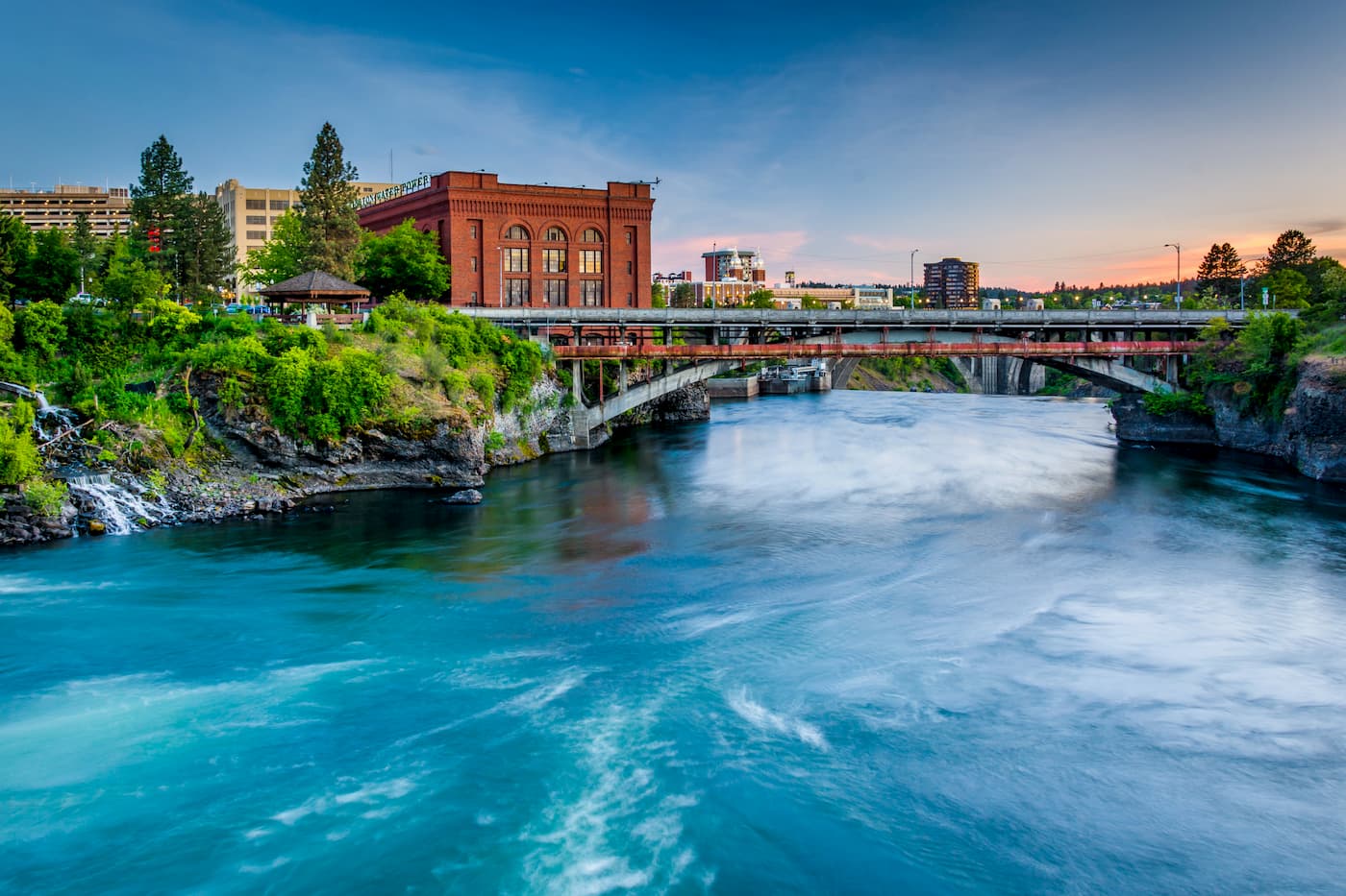
Located just southeast of the Okanogan Highlands, Spokane is the most populous city in eastern Washington. The Spokane river runs through the city while it sits 92 miles south of the Canada-U.S. border. With a population of 222,000, Spokane is the second largest city within the state of Washington. While most of the state’s population lives on the western side of the Cascade Mountain Range, Spokane is a hidden gem for any outdoor enthusiast. There are four ski resorts within two hours of downtown, while rock climbing, hiking, running, rafting, canoeing, and fishing are all accessible within minutes.