Scan the QR code and open PeakVisor on your phone
Established in 1980, the Rattlesnake Recreation Area protects roughly 28,000 acres of the Rattlesnake drainage in Montana. An iconic recreation destination, Rattlesnake lies within Lolo National Forest, just outside of Missoula, and sits adjacent to the 34,304-acre Rattlesnake Wilderness.
Prior to European settlement, the Rattlesnake Recreation Area and Wilderness was occupied by the Salish people. Though some speculate that Rattlesnake Creek earned its name after a rattlesnake death occurred near the creek in the 1800s, another theory suggests that the area was named after the Salish word, “Kehi-oo-le,” which translates to rattlesnake.
In the late 1850s, Bill Hamilton settled near the mouth of the Rattlesnake Creek and established a trading post. By the early 1900s, there were roughly 19 homes built in the upper drainage and the population reached just over 130. However, by 1930, the population of the Rattlesnake Valley had declined to less than 50 permanent residents.
When Congress passed the bill to establish the Rattlesnake National Recreation Area and Wilderness in 1980, over a third of the area was privately owned. The Forest Service would acquire over 21,000 acres from the Montana Power Company in 1983 and built the area’s first trailhead in 1987.
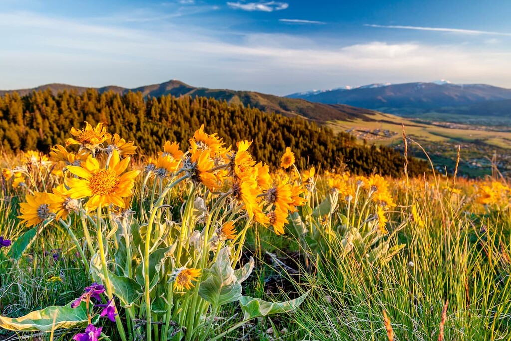
Together, the Rattlesnake National Recreation Area and Rattlesnake Wilderness protect much of the high country of the Rattlesnake Mountains, including Stuart Peak, Sheep Mountain, and Mineral Peak. These impressive summits form the rugged and scenic vista for the Missoula Valley.
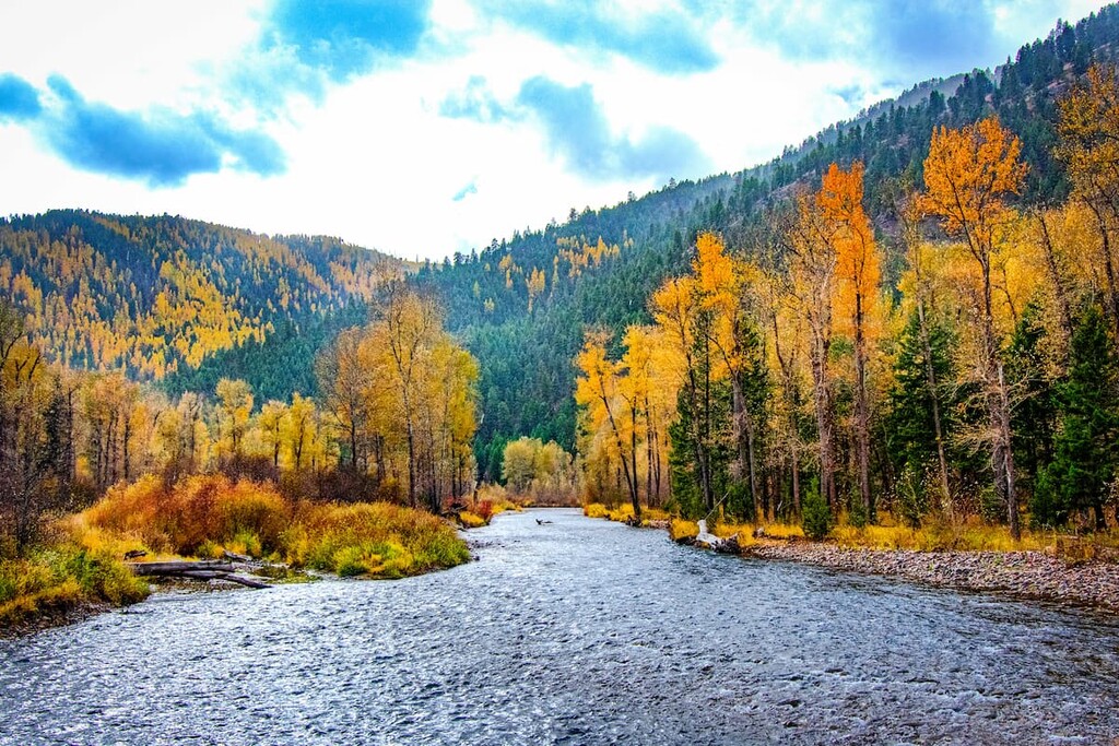
The U-shaped Rattlesnake basin is fed by more than fifty small creeks and over thirty high mountain lakes can be found scattered throughout the landscape. A variety of native plant species, including one of the only Sphagnum bogs in the western United States, can be found in the recreation area. Many of the area’s dazzling lakes are regularly stocked with fish and Rattlesnake Creek boasts populations of bull trout, cutthroat trout, and mountain whitefish.
Due to its close proximity to Missoula, the Rattlesnake region is heavily trafficked. More than 73 miles of hiking trails can be found in the recreation area, many of which are also available for horseback riding, mountain biking, and cross-country skiing.
The illustrious Stuart Peak towers behind Missoula and boasts some of the best views in the Rattlesnake Mountains. This 18-mile trail climbs an impressive 4,389 feet, making it an all-day adventure for most. From the summit, hikers can appreciate incredible vistas of the Missoula Valley, as well the nearby Mission, Swan, Bitterroot, and Garnett ranges.

Close to Missoula, the Rattlesnake Trail is a popular destination for day hiking, backpacking, and mountain biking. The trail is a wide, gently sloping path that follows Rattlesnake Creek up the valley. Evidence of homesites that were vacated in the 1930s can be found scattered throughout the main valley and Spring Gulch. Though the main trail ends at Franklin Bridge, just over 8 miles out, hikers can opt to continue on to the Upper Corridor Rattlesnake Trail or take one of the many other trails that connect with the Rattlesnake Trail.
The challenging trek to the summit of Sheep Mountain begins at the Woods Gulch trailhead. The trail climbs consistently for roughly 6 miles and is known to become more challenging and rugged as the miles pass. Though this trail isn’t for the faint of heart, it offers incredible views of the Missoula Valley and Rattlesnake Wilderness.
Just east of the Idaho-Montana border, Missoula lies at the convergence of five mountain ranges and is known as the “hub of five valleys.” The second largest city in Montana, Missoula is known for its access to popular outdoor recreation areas, including 22 miles of trails and 5,000 acres of conserved open space within the city itself. The city also lies at the confluence of the Clark Fork, Bitterroot, and Blackfoot rivers, making it a popular destination for white-water rafting.