Scan the QR code and open PeakVisor on your phone
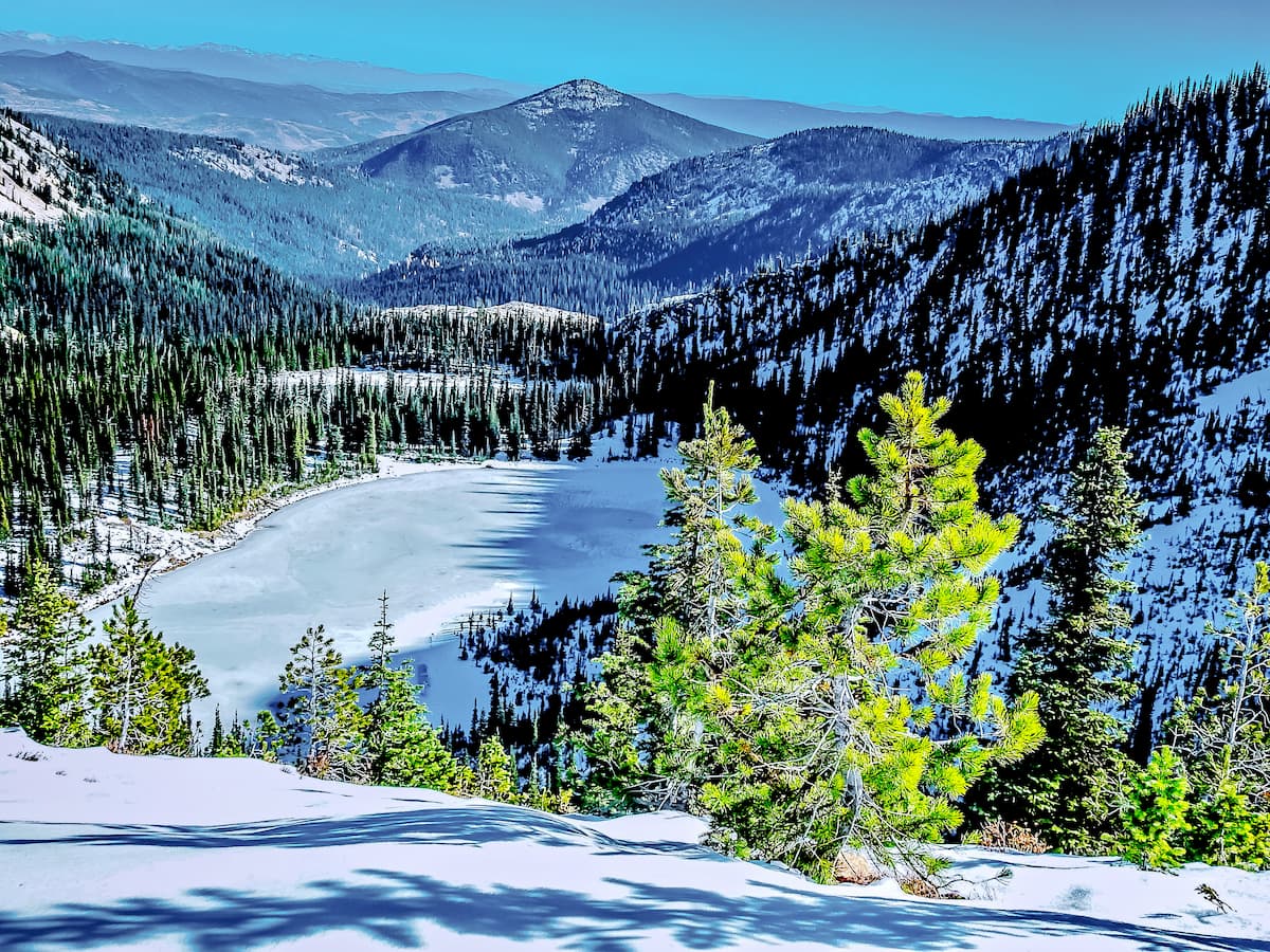
The Rattlesnake Wilderness is located in the Lolo National Forest in the state of Montana in the United States. This wilderness region was created back in 1980 and is part of the larger Rattlesnake Recreation Area, which lies to both the south and adjacent to the wilderness. There are 8 named mountains in the Rattlesnake Wilderness Area. The highest and the most prominent mountain is McLeod Peak at 8,632 feet. The wilderness gets its name because it encompasses the Rattlesnake Mountains, a subrange of the Rocky Mountains. Much of the wilderness is characterized by the crystal-clear lakes, densely forested hills, open slopes, and rugged mountain peaks. The lowest elevation within the wilderness is 4,200 feet with the highest being the summit of McLeod Peak. The northern border of the wilderness is marked by the South Fork Jocko Tribal Primitive Land.
This wilderness area sits just four miles north of the city of Missoula, Montana. The close proximity to the city makes the wilderness easily accessible for hiking. Similar to much of the region, the Rattlesnake Wilderness is home to a variety of wildlife, including grizzly bears, black bears, coyotes, deer, mountain lions, elk, mountain goats, bighorn sheep, and many more. There are 33 miles of trails spread throughout the wilderness along with expansive acres of untrailed regions. The wilderness covers 32,976 acres within the Lolo National Forest. Because the region is a designated wilderness, no motorized vehicles are allowed.
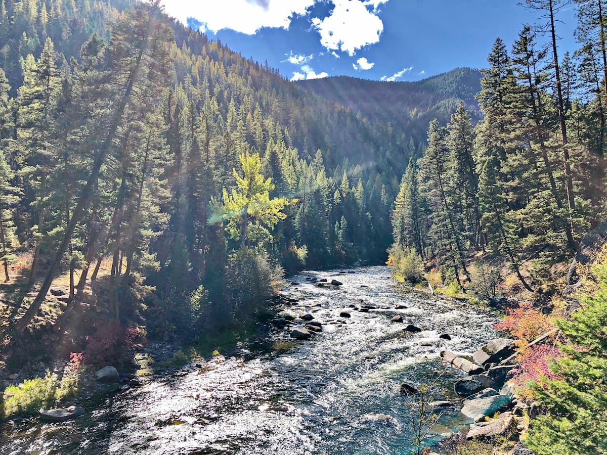
Rattlesnake Trail: This 34-mile out and back trail is the most popular in the wilderness. The trail totals 2,818 feet of elevation gain, though many use the trail for shorter day excursions. Built on old logging roads, this wider trail parallels Rattlesnake Creek through the wilderness. The gradual grade of the trail makes it ideal for day hikes, multi-day backpacking trips, or mountain biking. There are numerous trails off of the main route leading to creeks, ponds, and lakes.
Sawmill Curry Gulch Loop Trail: With just 826 feet of elevation over 5.2 miles, this trail is the perfect day hike in the wilderness. The route takes hikers through forested sections, open fields of wildflowers, and across streams. A quaint hike through a diverse landscape, perfect for hiking, running, or mountain biking.
Saddle Trail: This popular trail is 4.3 miles out and back with 636 feet of elevation gain. Located just outside the city of Missoula, this short hike offers a rolling trail through fields of wildflowers and forests. Look back towards the city for an impeccable view of the river below surrounded by the rolling hills and mountains.
Stuart Peak Trail: This 18-mile out and back hike has 4,389 feet of elevation gain. The trail winds through the forest before its strenuous ascent up into the Rattlesnake Wilderness. With small viewpoints along the way, this trail offers a unique approach into the wilderness. The long descent back down is popular amongst mountain bikers so be sure to stay alert.
Just four miles south of the Rattlesnake Wilderness, lies Missoula, Montana. Located in western Montana, this city sits at the convergence of five mountain ranges and is known as the “hub of five valleys”. The population is approximately 75,000 and is the second largest city within the state. Due to the proximity to mountains, rivers, and public lands, the city is known for its outdoor spaces. Within the city lie 22 miles of trails and 5,000 acres of conserved open space. Sitting at the confluence of the Clark Fork, Bitterroot, and Blackfoot rivers makes the city a popular white-water rafting destination. During the winter months, snow sports take center stage in the surrounding mountains, cross country skiing trails, and snowmobile routes.

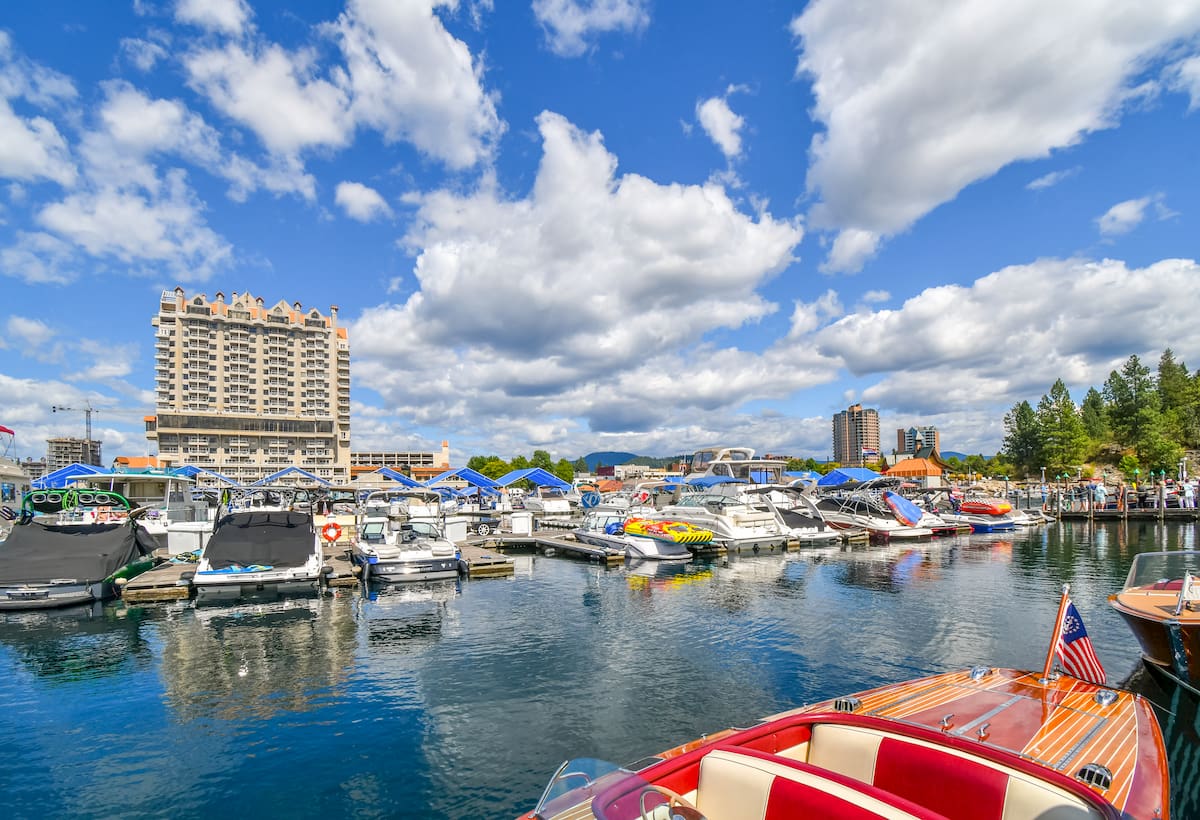
Located in northwestern Idaho, the city of Coeur d’Alene is located on Lake Coeur d’Alene. The city has a population of 50,000 which surges during the summer months due to the popularity of the large lake. The city is home to local restaurants, shops and is known for the water-based activities and the trail systems in nearby Canfield Mountain Natural Area.
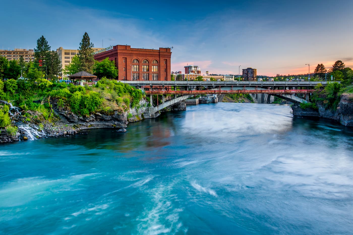
Though located in Washington state, Spokane is just 3 hours from the Rattlesnake Wilderness. Located just southeast of the Okanogan Highlands, Spokane is the most populous city in eastern Washington. The Spokane river runs through the city while it sits 92 miles south of the Canada-U.S. border. With a population of 222,000, Spokane is the second largest city within the state of Washington. While most of the state’s population lives on the western side of the Cascade Mountain Range, Spokane is a hidden gem for any outdoor enthusiast. There are four ski resorts within two hours of downtown, while rock climbing, hiking, running, rafting, canoeing, and fishing are all accessible within minutes.