Scan the QR code and open PeakVisor on your phone
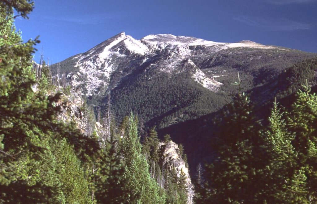
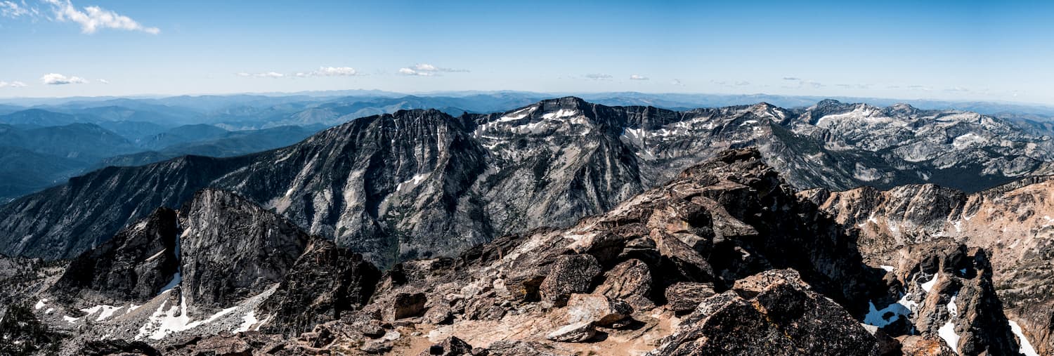
The Bitterroot National Forest is located in the states of Montana and Idaho and covers 1.587 million acres. There are 56 named mountains in Bitterroot National Forest. The highest and the most prominent mountain is Boulder Peak at 9,813 feet. Parts of the forest is located in both the Bitterroot and Sapphire Mountains with the lowest elevation being around 2,200 along the Salmon River.
The forest boasts 1,600 miles of trails with over 18 designated campgrounds, along with numerous backcountry camping spots. Nearly half of the Bitterroot National Forest comprises the three wilderness areas. This includes the Anaconda-Pintler, Selway-Bitterroot and Frank Church River of No Return Wildernesses. These portions of the forest differ from the rest as no logging is allowed as well as no roads or motorized vehicles.
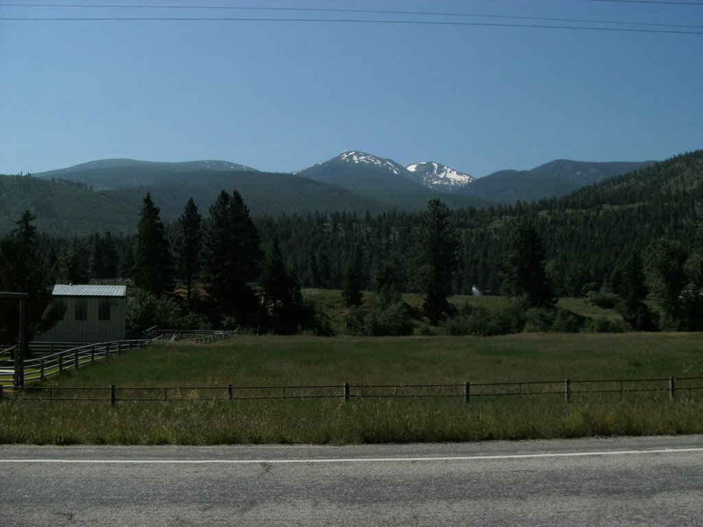
Discovery of gold in the early 1800’s in Idaho, and later Montana, led to numerous mining towns being built. Heavy logging and depletion of the surrounding land led to the establishment and protection of the region in 1898. The forest was eventually named the Bitterroot National Forest in 1908. The forest is home to a wide range of wildlife including deer, elk, bighorn sheep, beaver, moose, black bear, and cougar. The lower elevation of the forest has grazing rights leased to private landowners while the higher elevation is dominated by fir, larch, and pine forests. At altitudes above 8,000 feet, the trees quickly thin and wildflowers take over below the steep cliffs.
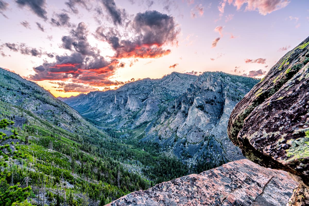
Blodgett Canyon is one of the most popular and scenic steep canyons in the forest. Within the canyon are multi hikes. Blodgett Canyon Overlook Trail is 2.8-miles with just 531 feet of elevation gain. This accessible trail offers some of the best views of the canyon as it sits above at elevation. The Blodgett Canyon Waterfall is a 8.5-mile out and back trail with just under 1,000 feet of elevation gain. This trail takes you through the canyon, along the river, before reaching the waterfall. This route is a beautiful hike that shows off the steep sides of the canyon.
Saint Mary Peak sits at 9,321 feet. The hike to the top is 7-miles roundtrip with 2,490 feet of elevation gain. The trail climbs steadily through the forest before reaching the panoramic views at the top. Look around to see the Bitterroot National Forest surrounding you with views stretching throughout Montana and Idaho.
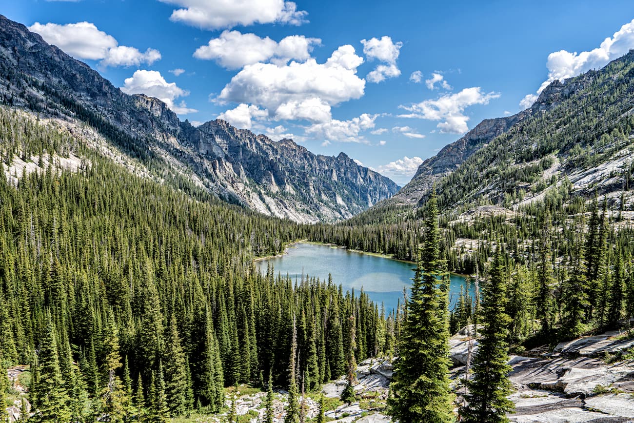
Part of the Anaconda-Pintler Wilderness lies within the Bitterroot National Forest. The wilderness stretches 40 miles on both sides of the Anaconda Range covering 158,615 acres. The tallest peak in the range is West Goat Peak at 10,793 feet. This wilderness area has an extensive network of trails which make it a popular destination for “peak bagging”. Some notable peaks in the wilderness are West and East Goats Peaks, Warren Peak, Mount Evans and Fish Peak; all above 10,000 feet. There are a multitude of lakes in this region of the forest, many stocked with trout making it a popular region for fishing as well.
Just east of the Idaho-Montana border, is the city of Missoula, Montana, an hour north of the Bitterroot National Forest. Located in western Montana, this city sits at the convergence of five mountain ranges and is known as the “hub of five valleys”. The population is approximately 75,000 and is the second largest city within the state. Due to the proximity to mountains, rivers, and public lands, the city is known for its outdoor spaces. Within the city lie 22 miles of trails and 5,000 acres of conserved open space. Sitting at the confluence of the Clark Fork, Bitterroot, and Blackfoot rivers makes the city a popular white-water rafting destination. During the winter months, snow sports take center stage in the surrounding mountains, cross country skiing trails, and snowmobile routes.

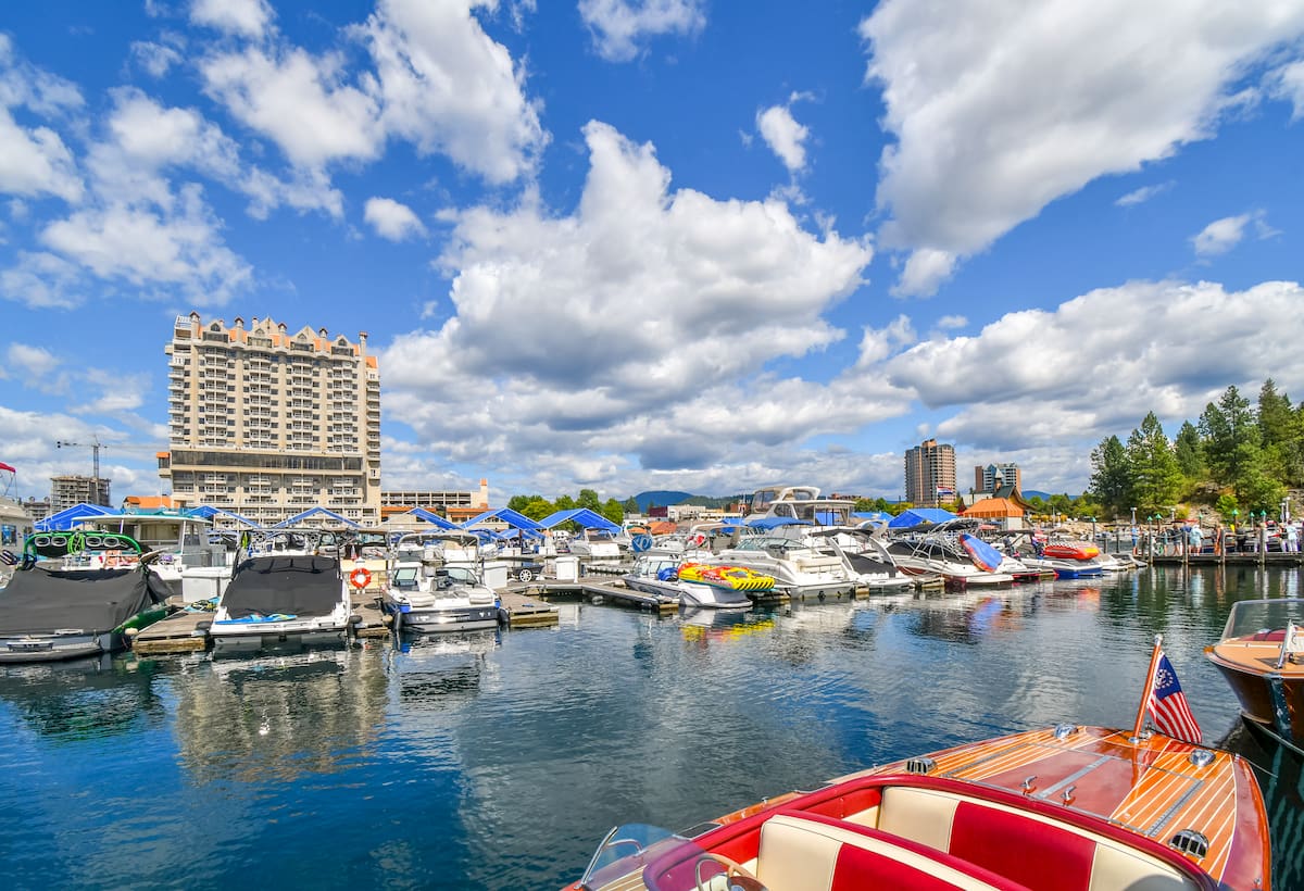
Located in northwestern Idaho, the city of Coeur d’Alene is located on Lake Coeur d’Alene. The city has a population of 50,000 which surges during the summer months due to the popularity of the large lake. The city is home to local restaurants, shops and is known for the water-based activities and the trail systems in nearby Canfield Mountain Natural Area.
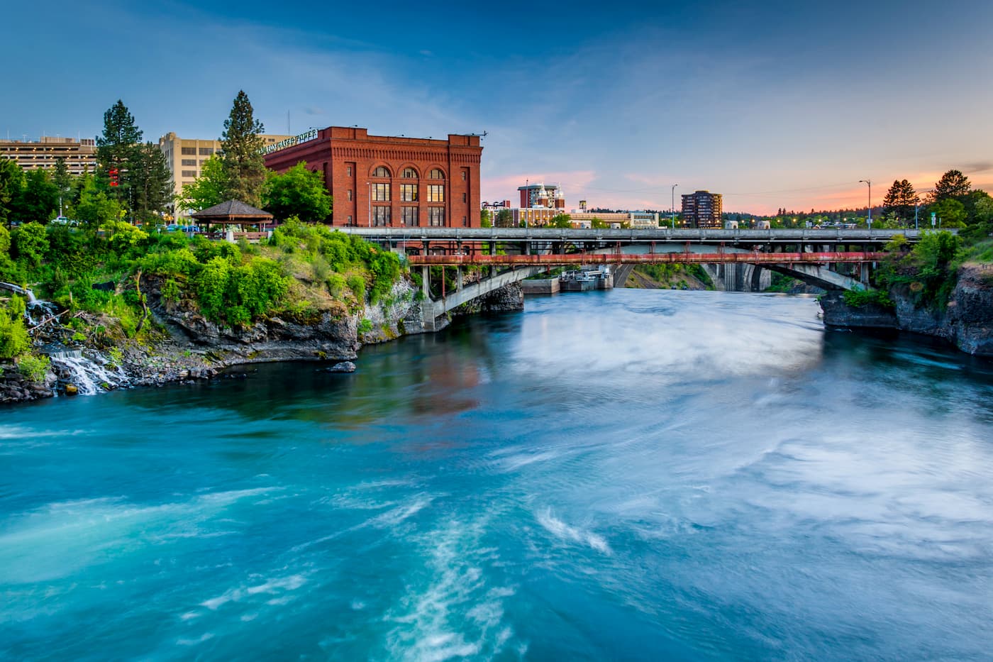
Though located in Washington state, Spokane just under four hours from the Bitterroot National Forest. Located just southeast of the Okanogan Highlands, Spokane is the most populous city in eastern Washington. The Spokane river runs through the city while it sits 92 miles south of the Canada-U.S. border. With a population of 222,000, Spokane is the second largest city within the state of Washington. While most of the state’s population lives on the western side of the Cascade Mountain Range, Spokane is a hidden gem for any outdoor enthusiast. There are four ski resorts within two hours of downtown, while rock climbing, hiking, running, rafting, canoeing, and fishing are all accessible within minutes.