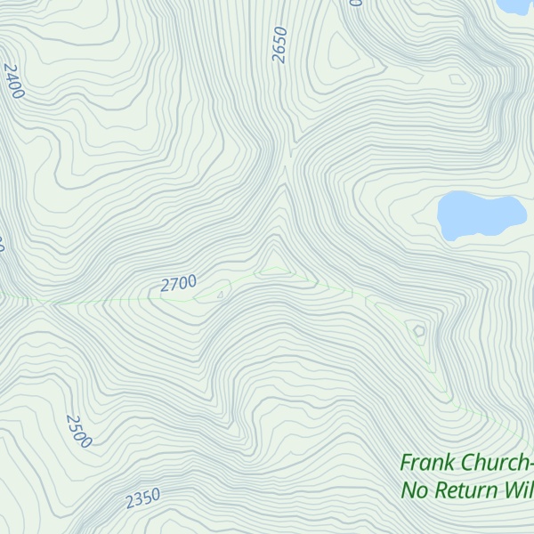
Stripe Mountain is the highest point in both the South Clearwater Mountains and the Clearwater Mountains as a whole, part of the Bitterroot Range and Rocky Mountains in the panhandle of Idaho in the Western United States. Its summit is at an elevation of 9,001 ft (2,744 m) and the mountain's ridgeline forms the boundary of Idaho County and Lemhi County. The Idaho County portion of the mountain lies within the Bitterroot National Forest and the Lemhi County portion of the mountain lies within the Salmon-Challis National Forest, and the entirety of the mountain lies within the Frank Church-River of No Return Wilderness Area.
By elevation Stripe Mountain is
# 9 out of 614 in Idaho County # 76 out of 161 in Lemhi County # 61 out of 214 in Frank Church-River of No Return Wilderness # 22 out of 174 in Bitterroot National Forest
By prominence Stripe Mountain is
# 26 out of 881 in the Bitterroot Range # 86 out of 3322 in Idaho # 10 out of 614 in Idaho County # 8 out of 161 in Lemhi County # 20 out of 235 in Salmon-Challis National Forest # 7 out of 214 in Frank Church-River of No Return Wilderness # 7 out of 174 in Bitterroot National Forest # 89 out of 3056 in the Idaho-Bitterroot Rocky Mountains
We use GPS information embedded into the photo when it is available.
3D mountains overlay
Adjust mountain panorama to perfectly match your photos because recorded by camera photo position might be imprecise.
Move tool
Rotate tool
Zoom
More customization
Choose which peak labels should make into the final photo and what photo title should be.
Next
Photo Location
Satellitte
Flat map
Relief map
Latitude
Longitude
Altitude
OR
Latitude
°'''
Longitude
°'''
Apply
Register Peak
Peak Name
Latitude
Longitude
Altitude
Register
Teleport
PeakVisor
This 3D model of Sagarmatha National Park in Nepal was made using the PeakVisor app topographic data. The mobile app features higher precision models worldwide, more topographic details, and works offline. Download PeakVisor maps today.
Download OBJ model
PeakVisor
The download should start shortly. If you find it useful please consider supporting the PeakVisor app.
PeakVisor for iOS and Android
Be a superhero of outdoor navigation with state-of-the-art 3D maps and mountain identification in the palm of your hand!