
Scan the QR code and open PeakVisor on your phone
The Great Bear Wilderness Area is located within the state of Montana in the United States. The wilderness sits within the Flathead National Forest. The region was designated an official Wilderness Area back in 1978 and now spans 286,659 acres across the state. To the south of the Great Bear Wilderness Area lies the Bob Marshall Wilderness. There are 58 named mountains in the Great Bear Wilderness Area. The highest and the most prominent mountain is Great Northern Mountain at 8,698 feet. The Great Bear Wilderness Area is part of the larger Bob Marshall Wilderness Complex located in northwestern Montana. The Bob Marshall Wilderness Complex consists of the Great Bear Wilderness, the Scapegoat Wilderness, and the Bob Marshall Wilderness. Combined, the three-wilderness areas cover an area of land more than 1.5 million acres.
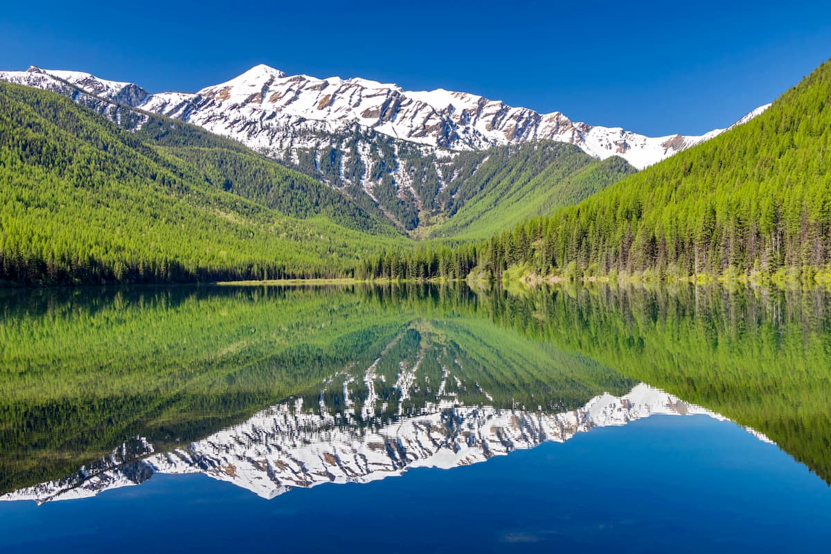
The Great Bear Wilderness Area sits west of the Continental Divide and is full of numerous peaks over 8,000 feet. Great Northern Mountain, along with the other surrounding mountains are part of the Rocky Mountain Front that spans 400 miles in Montana and Canada. The valleys of the wilderness are dominated by dense forest and an abundance of wildlife. The name of the wilderness rings true as it is home to one of the highest populations of grizzly bears in the lower 48 states. Among grizzly bears, the wilderness is also home to black bears, lynx, wolverine, moose, mountain goat, elk, and many more species.
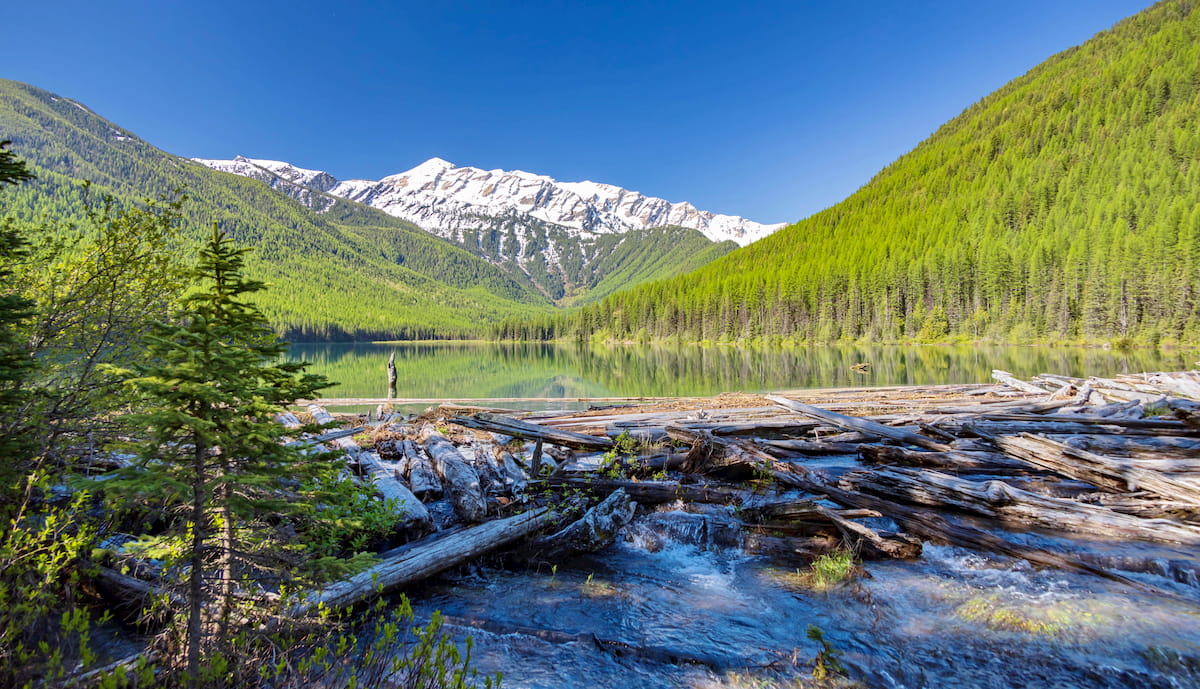
This wilderness is home to over 500 miles of named streams/rivers and 300 miles of hiking trails. Because this is a designated wilderness area, no motorized vehicles are allowed within the interior of the area. This results in many of the trails not being heavily maintained so hikers should be equipped with outdoor knowledge if they wish to explore in the remote regions. The Great Bear Wilderness is located just across U.S. Highway 2 from Glacier National Park.
Great Northern Mountain Trail: As the highest peak in the wilderness, the hike to the summit of Great Northern Mountain is no easy feat. The trail totals 9.5 miles out and back with 4,776 feet of elevation gain. The first two miles of the trail climb through the dense forest before opening up. From there hikers have views until they reach the summit of the surrounding wilderness and expansive Rocky Mountains. The final push of the climb is a slight scramble before reaching the summit.
Devil Creek to Elk Lake: The trail to Elk Lake is 12.4 miles out and back with 2,821 feet of elevation gain. The trail climbs steadily through the forest, passing waterfalls, meadows of wildflowers, and a sometimes treacherous crossing of Devil Creek. At the end of the trail, hikers are rewarding with breathtaking views of Elk Lake. Stop to go for a swim or bring your fishing poles to see if you can catch anything. Note that this region is known for a high amount of bear activity so hikers should come prepared. This route is best hiked in mid to late summer as to avoid high waters crossing Devil Creek.
Snake Loop Trail: This 5.6-mile loop trail has 1,571 feet of elevation. The trail leads hikers through a dense forest, intermixed with viewpoints along the way. This remote trail offers hikers a secluded experience of the solitude that the Great Bear Wilderness has to offer.
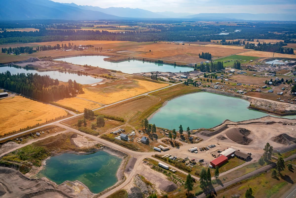
Kalispell is the closest major city to the Great Bear Wilderness Area. The micropolitan population totals at over 93,000, making it the largest city in northwestern Montana. Kalispell is closely located to an abundance of outdoor adventure. The city is located near Flathead National Forest, 31 miles from Glacier National Park, and just 22 miles from Hungry Horse Dam. During the winter months, the city is centrally located for snow sports. Both Whitefish Mountain Resort and Blacktail Mountain Ski Area are 17 miles from the city. The mountain city is home to local shops and cafes, perfect for staying at between your outdoor adventures.
Just east of the Idaho-Montana border, is the city of Missoula, Montana, surrounded by regions of the Lolo National Forest. Located in western Montana, this city sits at the convergence of five mountain ranges and is known as the “hub of five valleys”. The population is approximately 75,000 and is the second largest city within the state. Due to the proximity to mountains, rivers, and public lands, the city is known for its outdoor spaces. Within the city lie 22 miles of trails and 5,000 acres of conserved open space. Sitting at the confluence of the Clark Fork, Bitterroot, and Blackfoot rivers makes the city a popular white-water rafting destination. During the winter months, snow sports take center stage in the surrounding mountains, cross country skiing trails, and snowmobile routes.


