Scan the QR code and open PeakVisor on your phone
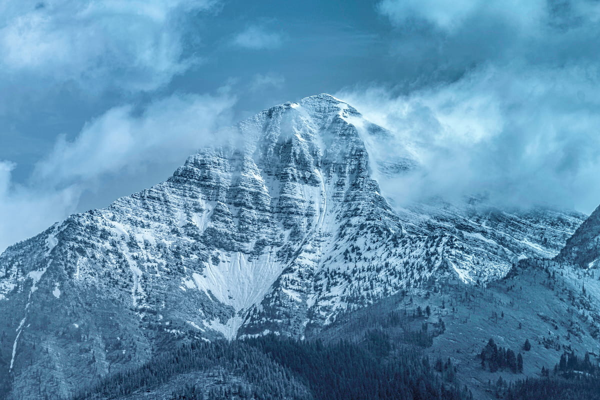
The Mission Mountain Wilderness is located in western region of Montana in the United States. The region was created back in 1975 and lies within the larger Flathead National Forest. In total the Mission Mountain Wilderness covers 73,877 acres of land. There are 19 named mountains in Mission Mountains Tribal Wilderness. The highest and the most prominent mountain is McDonald Peak, standing at 9,787 feet.
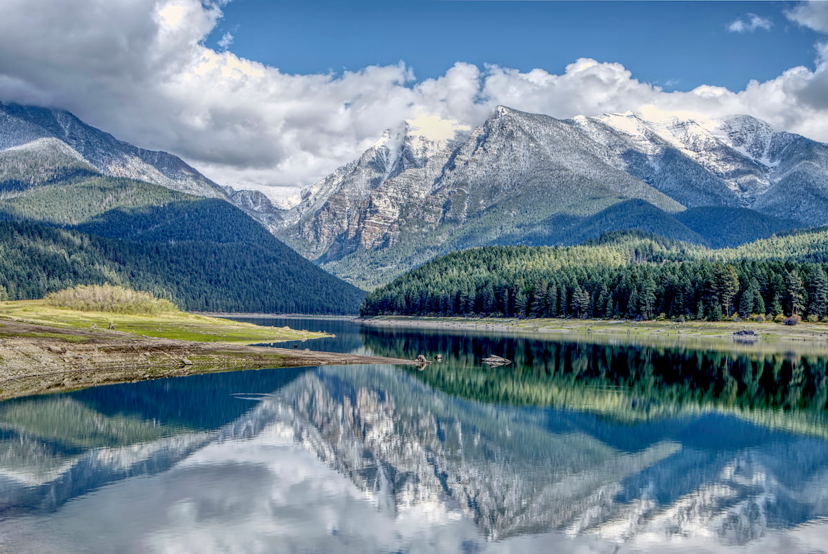
This wilderness is characterized by rugged peaks that are often covered in snow year-round. The Mission Mountain Wilderness is also home to some small glaciers, alpine lakes, steep cliff faces, open meadows, and glacier fed streams. The average elevation within the wilderness sits at 7,000 feet with many peaks reaching up over 9,000 feet. Today the wilderness spans 30 miles north to south with a width ranging from two to six miles. The land was used by both the Flathead and Pend Oreille tribes for hunting, fishing, and gathering. The region was also a sacred place used for those who sought visions. The western and southern region of the wilderness share a border with the Flathead Indian Reservation.
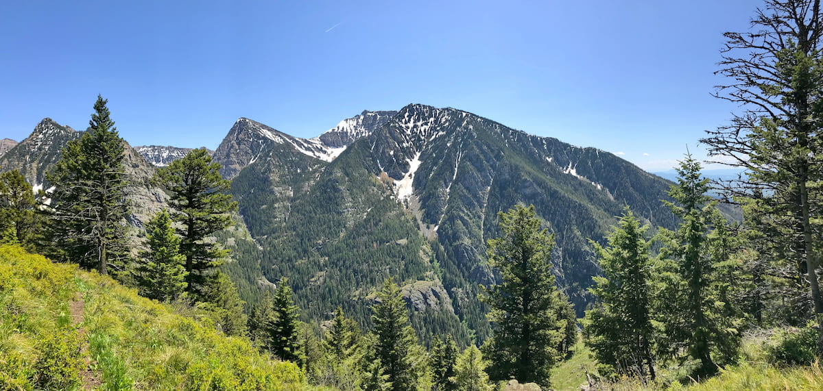
Today the Mission Mountains are home to a variety of wildlife, similar to much of the state; including elk, deer, grizzly bear, black bear, cougars, mountain goats, a small population of gray wolves, and a multitude of bird species. There are no motorized vehicles within the wilderness so the trail system can be accessed by hiking through the surrounding national forest. Today there are 45 miles of maintained trails, primarily used for backpacking purposes. Very few of the trails are rated as easy, with many of them being defined by the steep and strenuous terrain.
Lucifer Lake: As one of the most popular hikes in the wilderness, Lucifer Lake is 6.3 miles with just under 3,000 feet of elevation gain. The trail climbs steeply through the forest before reaching the rushing Mission Falls. Be sure to stop and take a quick break, before continuing the ascent. Note that the trail is less maintained after passing the falls. The final mile to the lake boasts another 1,000 feet of elevation gain but getting to the lake makes the rough trail worth it. The crystal-clear waters and perfect for viewing, a quick swim, or even a chance at catching a fish. Recommend that the hike is done in mid to late summer so the snow has melted.
Crow Creek Trail: This out and back trail is the perfect depiction of the Mission Mountains Wilderness. The hike is 12.5 miles out and back with 3,375 feet of elevation gain. The trail winds through the forest with views of the surrounding mountains scattered throughout. Farther in on the trail, hikers must cross several creeks, some with bridges and some without. Steep climbs, rugged wilderness, and the chance of wildlife make this creek trail a perfect depiction of the wilderness. It is required to have tribal conservation permits for this hike.
Mission Reservoir: Perhaps the most popular hike in the wilderness is to the Mission Reservoir. The trail is 3.6 miles out and back with just 718 feet of elevation gain, making it one of the easier hikes in the wilderness. The route to the reservoir is full of waterfalls and rugged peaks. Once at the destination, the water is the perfect spot to picnic and take in the surrounding mountains. This hike is also within the reservation so a permit is required.
Thirty miles south of the Mission Mountains lies the city of Missoula, Montana, surrounded by regions of the Lolo National Forest. Located in western Montana, this city sits at the convergence of five mountain ranges and is known as the “hub of five valleys”. The population is approximately 75,000 and is the second largest city within the state. Due to the proximity to mountains, rivers, and public lands, the city is known for its outdoor spaces. Within the city lie 22 miles of trails and 5,000 acres of conserved open space. Sitting at the confluence of the Clark Fork, Bitterroot, and Blackfoot rivers makes the city a popular white-water rafting destination. During the winter months, snow sports take center stage in the surrounding mountains, cross country skiing trails, and snowmobile routes.

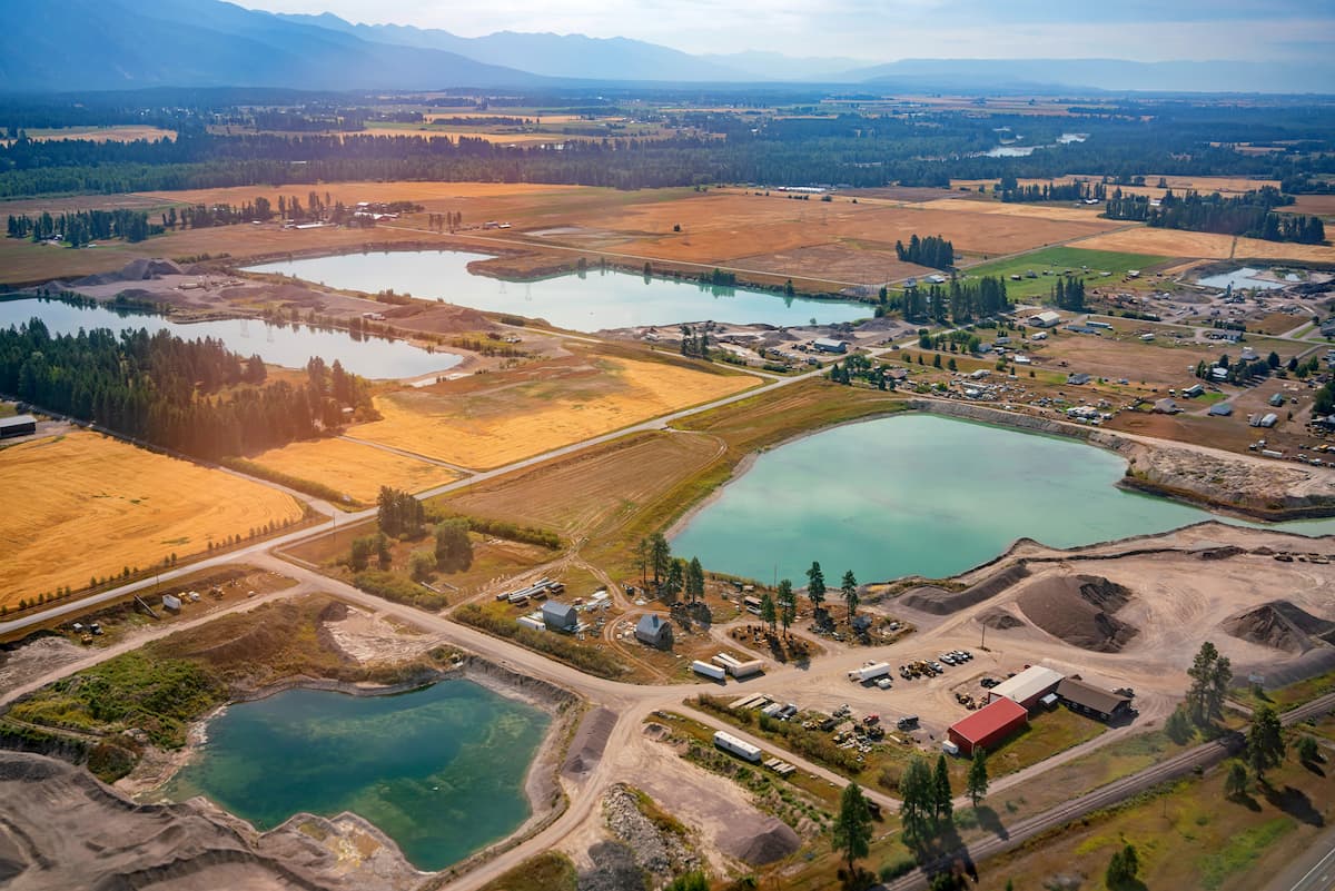
An hour and a half north of the Mission Mountains, lies Kalispell. The micropolitan population totals at over 93,000, making it the largest city in northwestern Montana. Kalispell is closely located to an abundance of outdoor adventure. The city is located near Flathead National Forest, 31 miles from Glacier National Park, and just 22 miles from Hungry Horse Dam. During the winter months, the city is centrally located for snow sports. Both Whitefish Mountain Resort and Blacktail Mountain Ski Area are 17 miles from the city. The mountain city is home to local shops and cafes, perfect for staying at between your outdoor adventures.