
Scan the QR code and open PeakVisor on your phone
Covering a wide swath of the west-central portion of the US state of Montana, Helena National Forest is a federally-managed area of public land. The forest contains 67 named mountains, the highest and most prominent of which is Mount Edith (9,495ft/2,894m).
Helena National Forest contains some 1,538 square miles (3,984 sq. km) of land in west-central Montana. The forest is broken up into several non-contiguous sections within Montana, near the state’s borders with Idaho and Wyoming. Parts of the forest are within a number of different counties, including Lewis and Clark, Powell, Broadwater, Jefferson, and Meagher Counties.
Technically, Helena National Forest and Lewis and Clark National Forest to the north and east were administratively combined in 2015. These days, they are both managed by the US Forest Service as part of the Helena-Lewis and Clark National Forest though they cover different areas.
Helena National Forest is located in a highly mountainous section of Montana, in an area that’s a patchwork of public and private land. It is located to the northeast of the Absaroka-Beartooth Wilderness Area and to the north of the Beaverhead-Deerlodge National Forest.
Moreover, the Bitterroot National Forest separates Helena National Forest from Montana’s border with Idaho to the west. Finally, Lolo National Forest and the Bob Marshall Wilderness Area are located to the north of Helena National Forest.
Within Helena National Forest, there are parts of a number of different mountain ranges. These include the Elkhorn Mountains, the Boulder Mountains, the Lewis Range, and the Big Belt Mountains.
Helena National Forest also contains the Gates of the Mountains Wilderness and parts of the Scapegoat Wilderness, which is also managed as part of the Bob Marshall Wilderness Complex.
The peaks within Helena National Forest are part of the Central Montana Rocky Mountains, which are a subsection of the great Rocky Mountain Range, which extends for some 3,000 miles (4,800km) from northern British Columbia in Canada all the way to New Mexico in the United States.
For the most part, the mountains within the forest formed during the Laramide orogeny, which was a major mountain building event that took place some 80 to 55 million years ago.
During this time, the Farallon and Kula plates subducted under the North American Plate, forming a number of Rocky Mountain subranges and other parts of the North American Cordillera throughout Canada, the United States, and Mexico.
That being said, Helena National Forest covers a number of different ranges, each of which have unique geologic histories.
For example, the Elkhorn Mountains and the Boulder Mountains are a part of the Boulder Batholith. The Boulder Batholith is a massive collection of various igneous plutons that formed during the Late Cretaceous and is primarily granitic in composition.
Alternatively, the Big Belt Mountains to the east are part of the Belt Supergroup geologic formation, which is primarily Precambrian sedimentary rock. The Belt Supergroup extends for some 77,200 square miles (200,000 sq. km) into Wyoming, Idaho, Montana, and even southern Canada, where it is known as the Purcell Supergroup.
Moreover, the Lewis Range, part of which is included as part of the northern section of Helena National Forest and extends into southern Alberta, is a part of the Lewis Overthrust. The Lewis Overthrust that dates back some 170 million years and resulted in the faulting of Precambrian rock on top of a significantly younger layer of Cretaceous bedrock.
There are a number of major peaks within Helena National Forest, including Mount Edith, Mount Baldy, Elkhorn Peak, Crow Peak, and Red Mountain. Moreover, the Continental divide travels through Helena National Forest, most notably as part of the Scapegoat Wilderness.
Due to its large area, Helena National Forest is home to a diversity of flora and fauna.
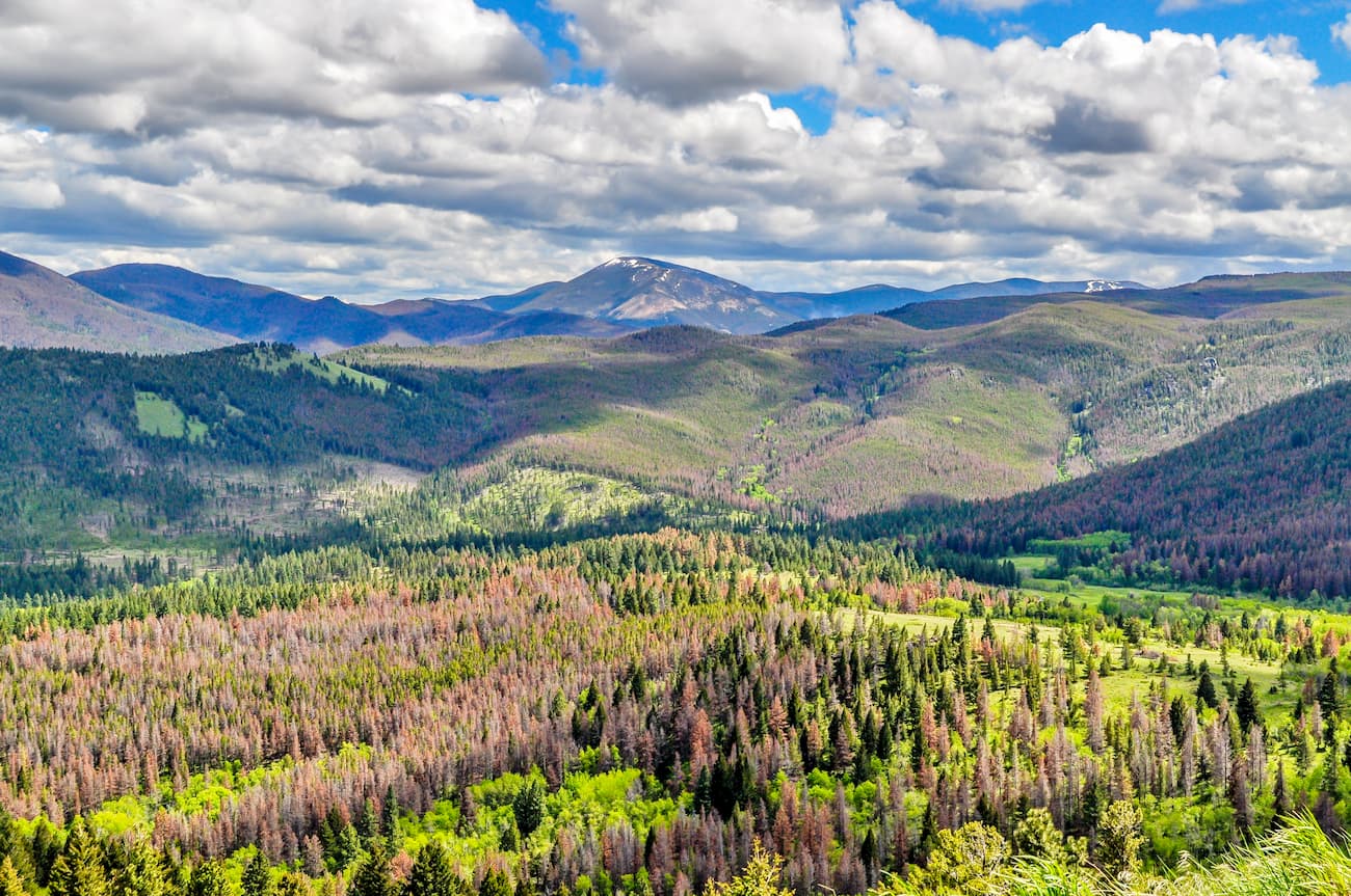
At lower elevations, the forest is dominated by grasslands and sagebrush with some pockets of lodgepole pine. In more mountainous regions, Helena National Forest is covered in coniferous forests, including large stands of Engelmann spruce, Douglas fir, and ponderosa pine.
Wildlife is abundant in the region, too. In the Elkhorn Mountains, in particular, there is a sizable population of elk. Moreover, black bears, brown bears, bighorn sheep, mountain goats, mountain lions, Canadian lynxes, timber wolves, white-tailed deer, mule deer, beavers, muskrats, and wolverines are found in the forest.
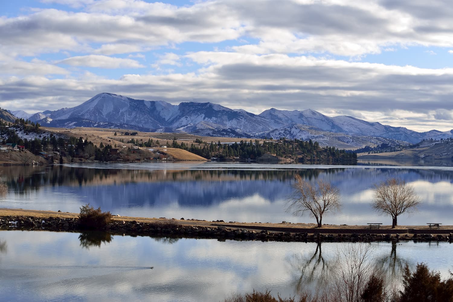
Helena National Forest also has thousands of acres of rivers and streams which offer excellent fly fishing opportunities. Some of the main fish species in the region include westslope cutthroat trout, rainbow trout, brook trout, and northern pike.
Finally, bird species, such as bald eagles, peregrine falcons, red tailed hawks, and grouse can be found within Helena National Forest.
Western and west-central Montana have been home to humans for thousands of years. A number of groups, including the Blackfeet Nation, the Cheyenne, the Sioux, the Crow, the Shoshone, and the Confederated Salish and Kootenai Tribes, lived in and around the region that would later become Helena National Forest long before Europeans and European-Americans knew of its existence.
Lewis and Clark’s 1803-1806 expedition traveled through what would later become Helena National Forest. In particular, they expedition passed through the modern day Gates of the Mountains Wilderness in 1805, making particular note in their expedition journals about the prominence and beauty of the area’s grey cliffs at the entrance of a canyon along the Missouri River.
In the 1860s and 1870s, the region once again rose to prominence within the United States after gold, silver, and other precious metals were found in the region, particularly within the Elkhorn and Boulder Mountains.
Many immigrants to the region traveled along the Montana Trail from Utah, through Idaho, and into Montana. The trail was also critical for transporting supplies, food, and goods from Salt Lake City, which also served as an important commercial center for mining activities throughout the intermountain region.
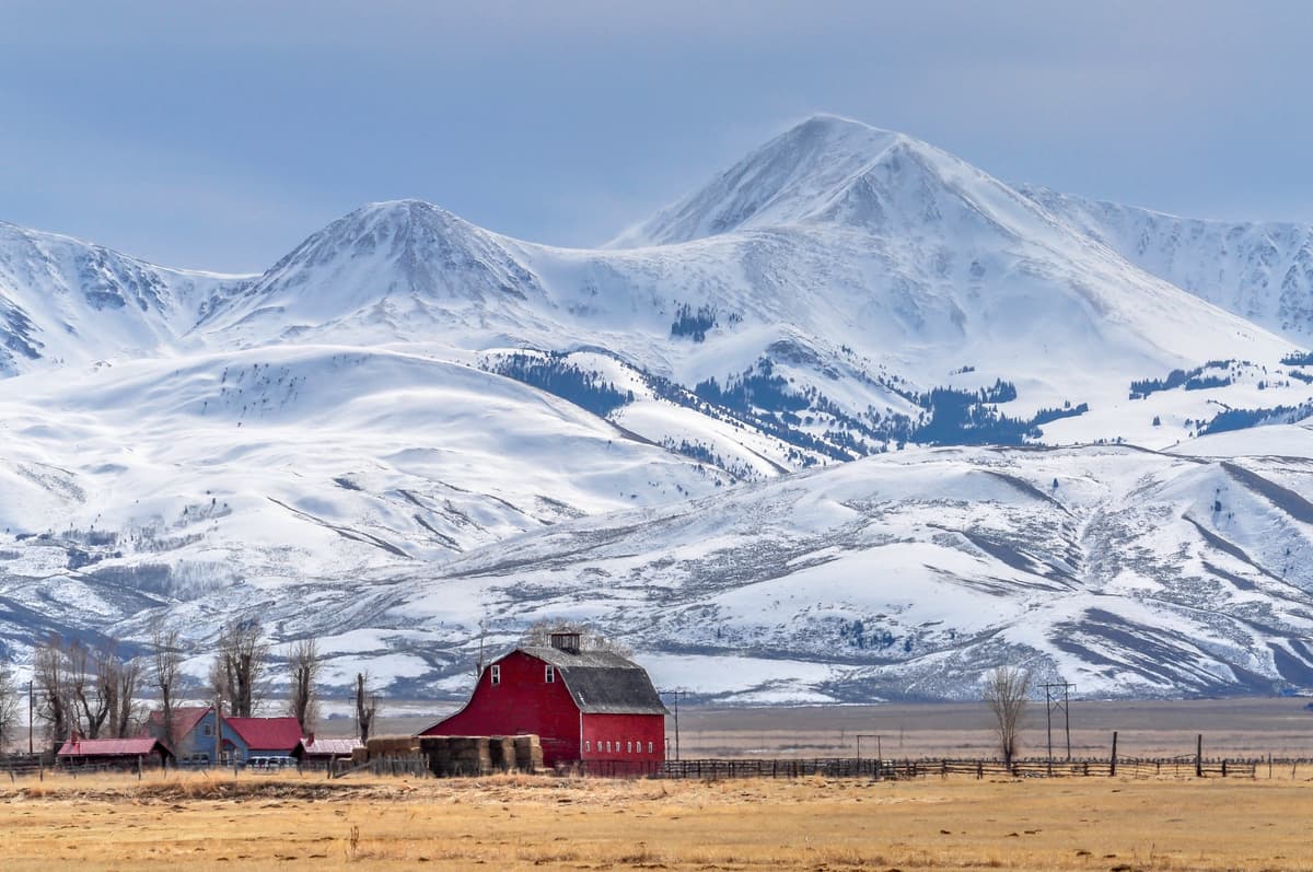
After the heyday of mining in Montana, the regional economy shifted more toward agriculture and ranching. During President Grover Cleaveland’s administration, however, a number of large forest reserves, including the Lewis and Clark, Big Belt, Elkhorn, and Helena Forest Reserves in Montana, were created.
By 1907, the term “National Forest” was used to replace “Forest Reserve.” One year later, the Forest Service created Helena National Forest by combining many of the region’s smaller reserves.
As a result of the Great Depression and the formation of the Civilian Conservation Corps, Helena National Forest saw a massive increase in infrastructure, including campgrounds, roads, trails, and other recreational facilities. Throughout this time, the US Forest Service has managed Helena National Forest both for recreation and for commercial timber production.
In more recent years, Helena National Forest has stepped up its archaeological and cultural heritage programming, working to protect the region’s historical artifacts for generations to come.
Helena National Forest contains hundreds of miles of trails and countless opportunities for outdoor recreation. Here are some of the best places to check out:
The Scapegoat Wilderness is located in the northern part of Helena National Forest. It contains 374.9 square miles (971 sq. km) of land and 31 named mountains, the highest and most prominent of which is Red Mountain.
The wilderness is managed as part of Helena National Forest, Lewis and Clark National Forest, and Lolo National Forest. It is also included as part of the massive Bob Marshall Wilderness Complex.
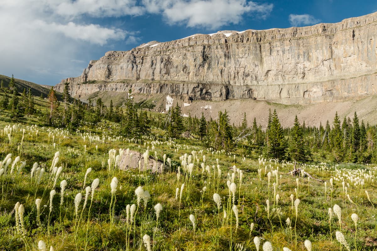
Interestingly, the Continental Divide runs along the western edge of the Scapegoat Wilderness and brings with it the Continental Divide Trail, which traverses the area from north to south. The region is covered in dense coniferous forests and it is a great place to go backpacking or fly fishing.
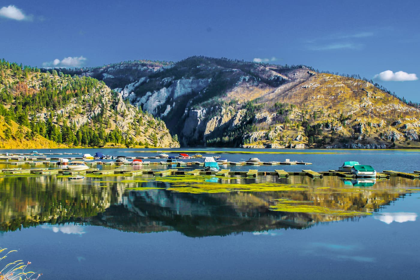
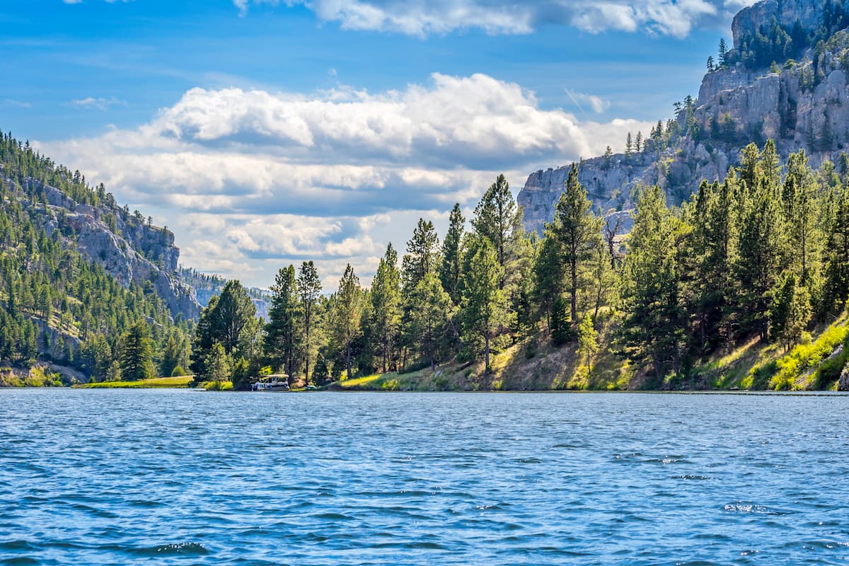
Situated in the westernmost section of Helena National Forest, Gates of the Mountains Wilderness includes part of the northern Big Belt Mountains. It includes 44.6 square miles (115.6 sq. km) of land as well as 7 named mountains, the highest and most prominent of which is Moors Mountain.
What is now known as Gates of the Mountain Wilderness was famously crossed by the Lewis and Clark Expedition in 1805 as they made their way westward. These days, the wilderness offers some good hiking and fishing opportunities.
The wilderness area was also the site of the 1949 Mann Gulch Fire which killed 13 firefighters, including 12 of the 15 smokejumpers that parachuted into the region to aid in fire suppression efforts.
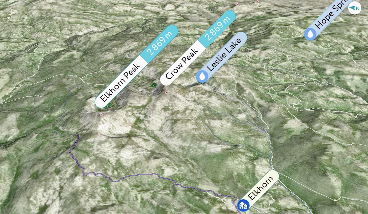
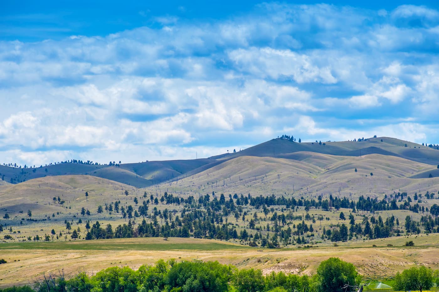
The Elkhorn Mountains are located in the southern part of Helena National Forest, just south of the city of Helena. There are 15 named mountains within the range, the highest of which is Crow Peak and the most prominent of which is Elkhorn Peak.

While the range isn’t as popular for outdoor recreation, when compared to the nearby peaks in the Bitterroot National Forest, the Elkhorn Mountains are well-known for their large herd of elk. The Elkhorns are also a particularly popular hunting area during big game season.
The Boulder Mountains are situated in the southern section of Helena National Forest, just to the west of the Elkhorn Mountains. Within the range, there are 69 named peaks, the highest and most prominent of which is Haystack Mountain.
Moreover, the Continental Divide travels through the Boulder Mountains, as does a small section of the Continental Divide Trail. While much of the range is located within the Beaverhead Deerlodge National Forest, the northernmost part of it is in Helena National Forest.
The Lewis Range stretches from the southernmost part of Alberta into west-central Montana, just to the north of the city of Helena. It contains 496 peaks, the highest and most prominent of which is Mount Cleveland.
Although the southernmost section of the Lewis Range creeps into the borders of Helena National Forest, it is also part of the Bob Marshall Wilderness Complex, Glacier National Park, and Waterton Lakes National Park in Canada.
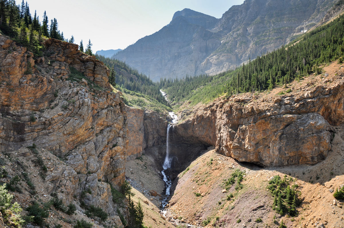
The Lewis Range is known for its stunning alpine lakes, post-glacial landscapes, and staggering cliffs. It is a popular hiking destination, with plenty of maintained trails to check out.
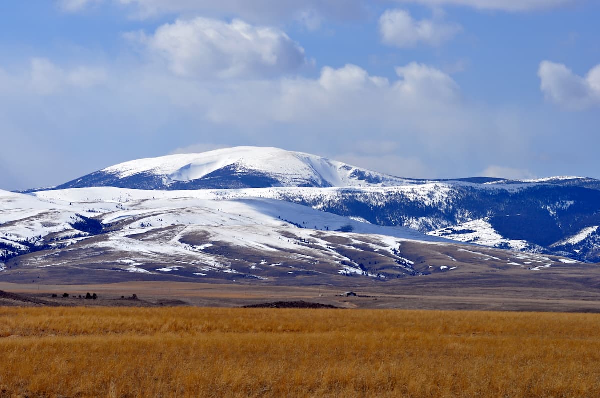
The Big Belt Mountains comprise the bulk of the eastern part of Helena National Forest. Within the range, there are 48 named peaks, the highest of which is Sacagawea Peak and the most prominent of which is Mount Edith.
Aptly named, the Big Belt Mountains form a belt-like arc that runs for about 75 miles (120km) in a northwest to southwest orientation. The range is part of the ancestral homelands of the Flathead Nation, among countless others. It also played a substantial role in the region’s economy during the Montana Gold Rush.

There are a number of great outdoor recreation opportunities within the Big Belt Mountains. The Gates of the Mountains Wilderness is located in the northern part of the range. Moreover, the Big Mountain Divide Trail offers great views of the surrounding region.
There are a number of large cities and towns near Helena National Forest. Here are some of the best areas to check out:
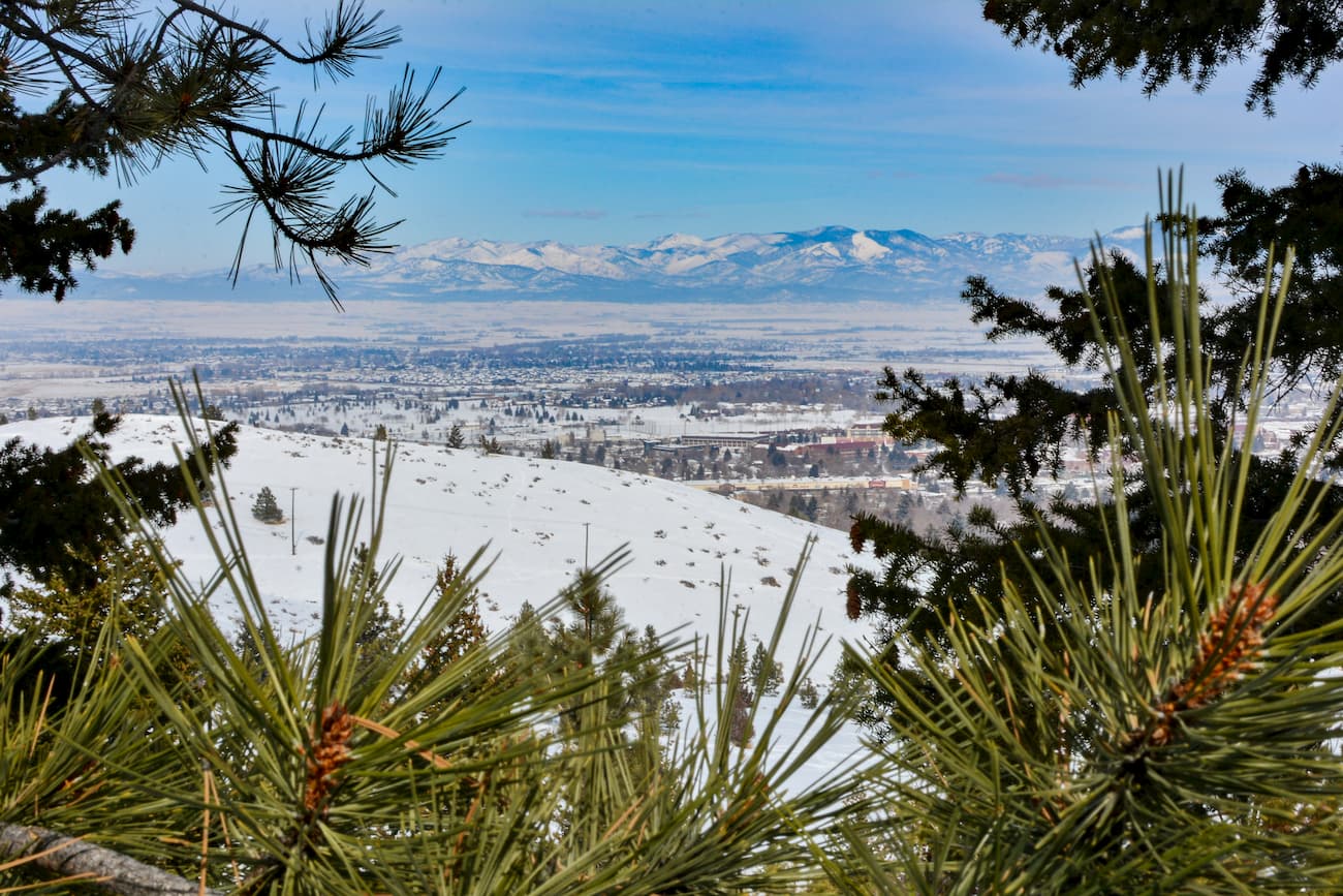
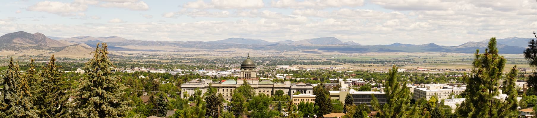
Helena is the capital of Montana and the state’s sixth most populous city, with just under 30,000 people. It is located in the heart of Helena National Forest’s many districts and is easy to access by road. The city also has a small airport, which offers regular flights to major destinations in the western United States.
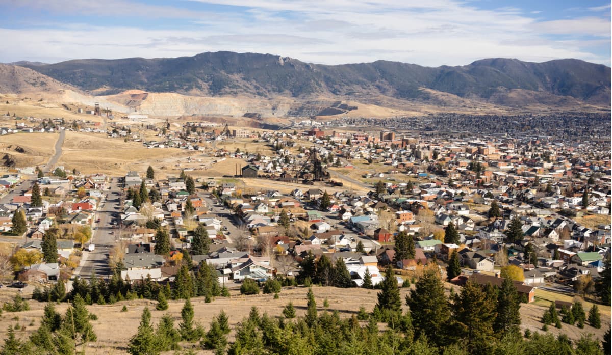
Butte is located just south of Helena National Forest in Silver Bow County. It is the fifth largest city in the state with over 33,000 residents. Butte is situated along the intersection of I-90 and I-15, making it easy to get to by road.
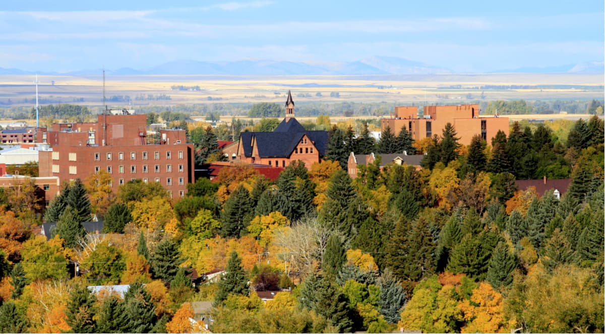
Bozeman is situated to the southeast of Helena National Forest and is the fourth largest city in Montana with nearly 50,000 inhabitants. It is a popular outdoor recreation destination, thanks to its proximity to a number of major National Forests. Plus, Bozeman is home to the busiest airport in Montana.
Missoula is the second largest city in Montana with a population of about 75,000 people. It is located to the west of Helena National Forest along the Clark Fork River. The city is also situated on I-90 and is home to Missoula International Airport, which offers direct flights to major destinations in the US.


