Scan the QR code and open PeakVisor on your phone
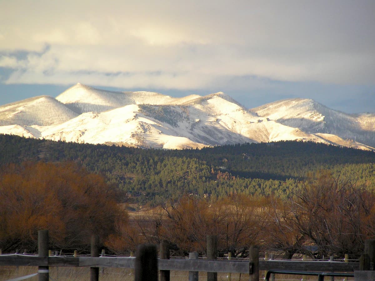
Located in the west-central region of the US state of Montana, the Big Belt Mountains are a collection of 48 named peaks, the highest of which is Sacagawea Peak (9,656ft/2,934m) and the most prominent of which is Mount Edith (9,491ft/2,893m). The Big Belt Mountains are part of the larger Central Montana Rocky Mountains subrange, which covers a substantial part of western and central Montana.

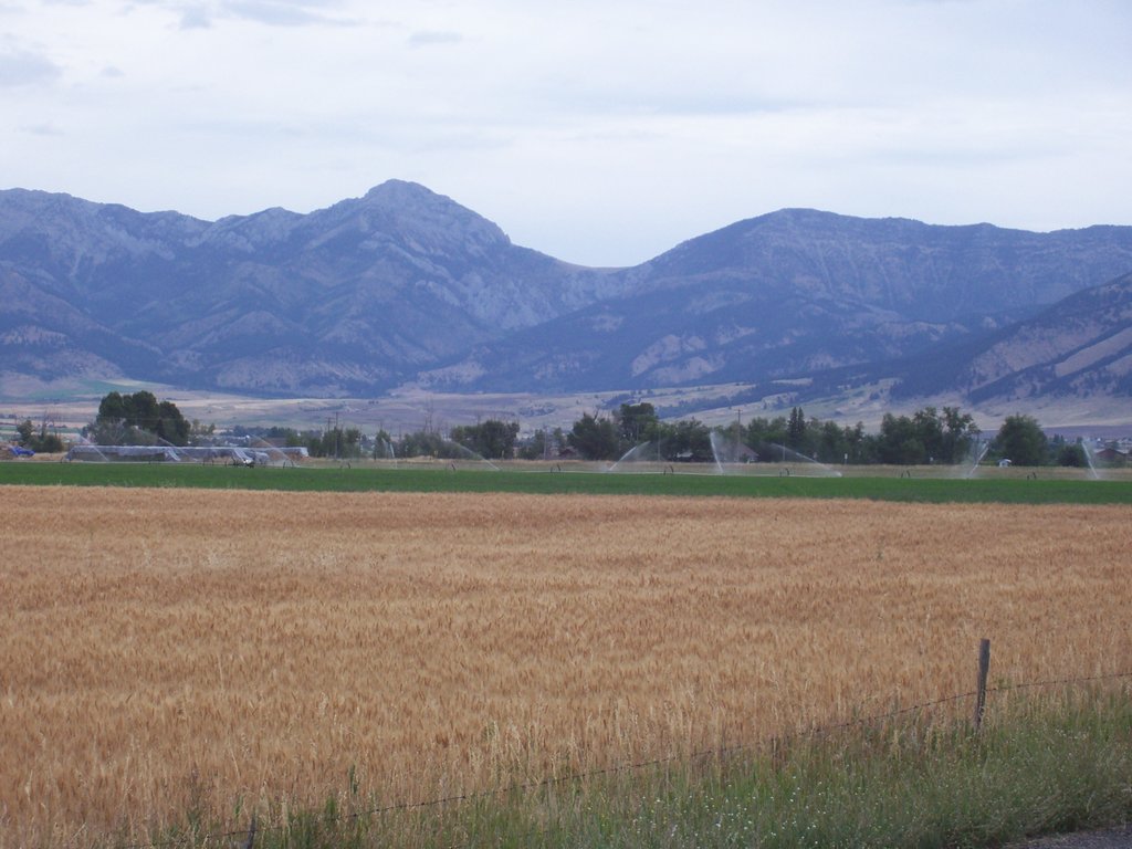
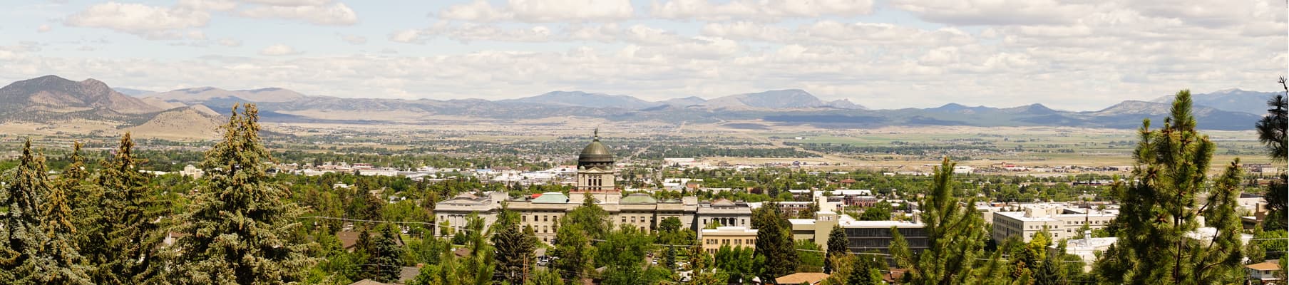
The majority of the range is located in Broadwater and Lewis and Clark counties near the city of Helena, the state’s capital. The Big Belt Mountains form the barrier between the main drainage of the Missouri River to their west and the Smith River drainage to their east, both of which are mostly flat, treeless valleys.
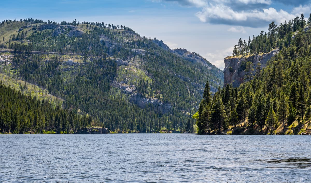
The Big Belt Mountains stretch for about 75 miles (120 km) in a belt-like arc shape along a northwest to southeast orientation, which is how the range got its name. At the northern edge of the Big Belt Mountains, the Missouri River cuts through the range in an area named the Gates of the Mountains by the Lewis and Clark Expedition in the early 19th century. The Gates got its name because the Missouri River cuts through some particularly scenic limestone cliffs, allowing for easy passage through otherwise difficult terrain.
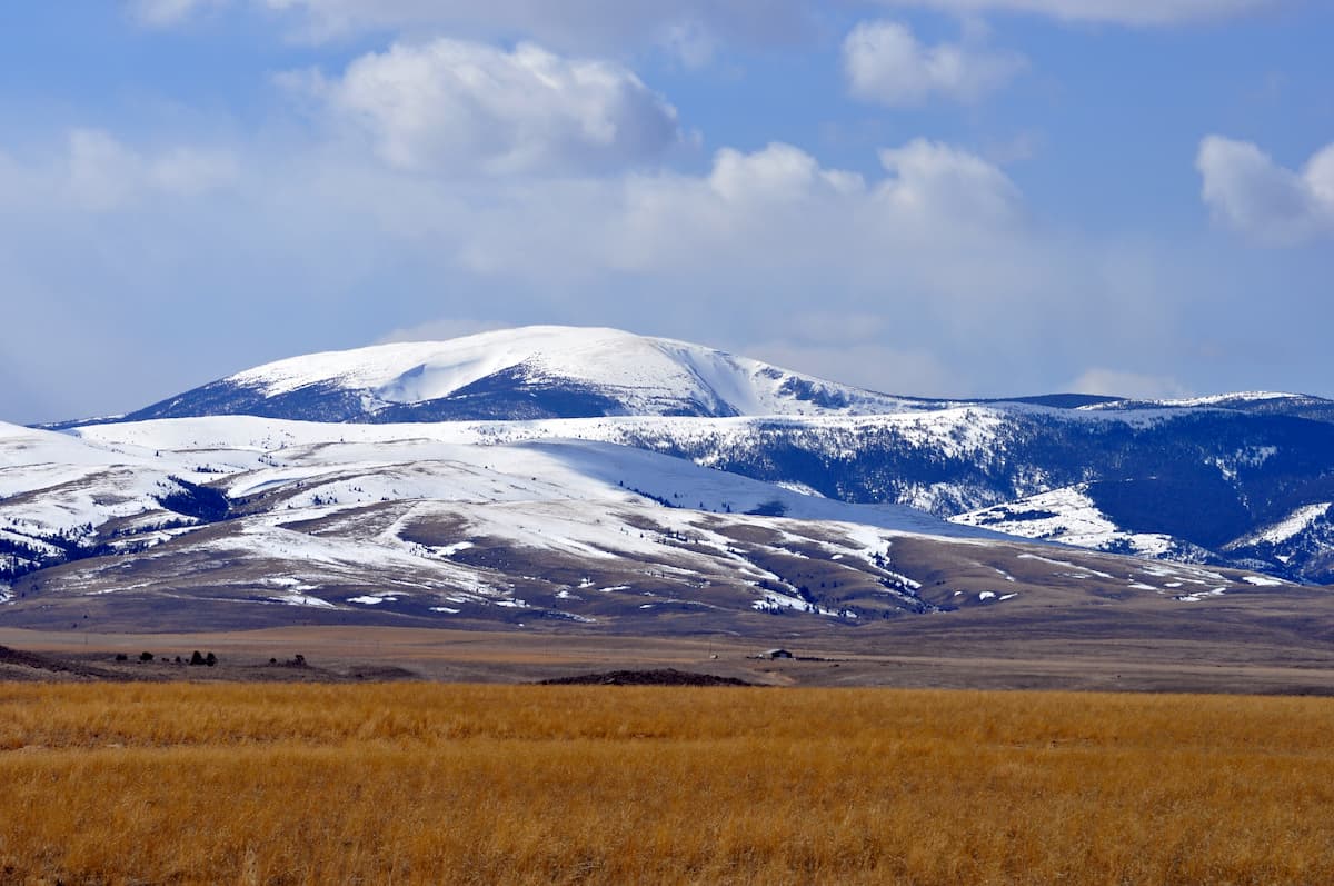
In general, the peaks in the southern part of the Big Belt Mountains, such as Mount Baldy, Hardscrabble Peak, and Ross Peak, are higher than those in the northern part of the range. Additionally, the western part of the range, which drains into the Missouri River tends to be steeper than the slopes on the Big Belt’s eastern aspects.

Geologically, the Big Belt Mountains are made of predominantly sandstone rock. However, the range, particularly on its western slope, is rich in valuable minerals, which drew prospectors and miners to the region during the height of the Montana Gold Rush in the 1860s, who were particularly interested in searching for the region’s vast gold reserves.
The Big Belt Mountains also form part of the larger Belt Supergroup, a geologic formation comprised of mostly Precambrian sedimentary rocks in Western Montana and northern Idaho. The Belt Supergroup (which got its name from the Big Belt Mountains) extends for some 77,220 sq. miles (200,000 sq. km) as far south as Wyoming and as far north as southern Canada, where it is called the Purcell Supergroup.
Like many of the nearby ranges, the Big Belt Mountains have a rich history of human inhabitation. People have been living in the area around the Big Belt for at least the last ten thousand years. Within the range, there are many prehistoric rock shelters and cliff faces that are still home to pictographs and petroglyphs from these ancient peoples.
The Big Belt Mountains are also considered the ancestral homelands of the Flathead Nation and countless other indigenous groups, who lived off of the region’s abundant wildlife and edible fauna. During the Montana Gold Ruch, thousands of miners flocked to the range, leaving behind relics of their work and a number of ghost towns that were abandoned as the mining operations slowly dwindled.
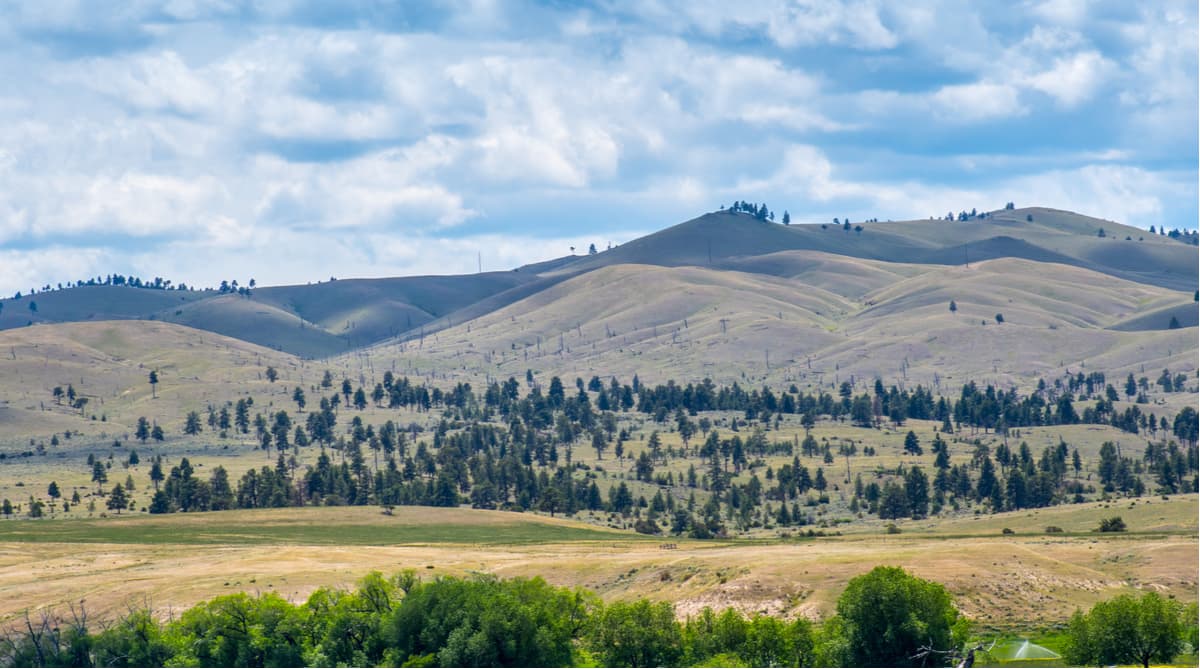
These days, the majority of the Big Belt Mountains are contained within Helena National Forest. Within the Forest, there are a handful of established hiking trails as well as plenty of more remote recreation opportunities within the Gates of the Mountains Wilderness located at the northern part of the range.
Looking for a good hiking trail in the Big Belt Mountains? Here are some ideas:

If you want to get some fantastic views of the surrounding landscape while in the Big Belt Mountains, this hike along the crest of the range is a must-do. The trail is 13.4 miles (21km) long and starts from the trailhead at Duck Creek Road. It takes you up and into the alpine, where you can enjoy some beautiful scenery and great camping opportunities if you’re looking for a bit more of an adventure.
The Gates of the Mountain Wilderness Area covers a region of about 28,465 acres in size within Helena National Forest. In the Wilderness, there are 53 miles (85km) of trails, so there’s plenty of adventure out there just waiting to be discovered. The Refrigerator Canyon Trailhead is a particularly popular starting point for trips into the wilderness, but once you leave the road, you can find plenty of solitude in the mountains.
Here are some of the major cities near the Big Belt Mountains that are great starting points for your adventures:
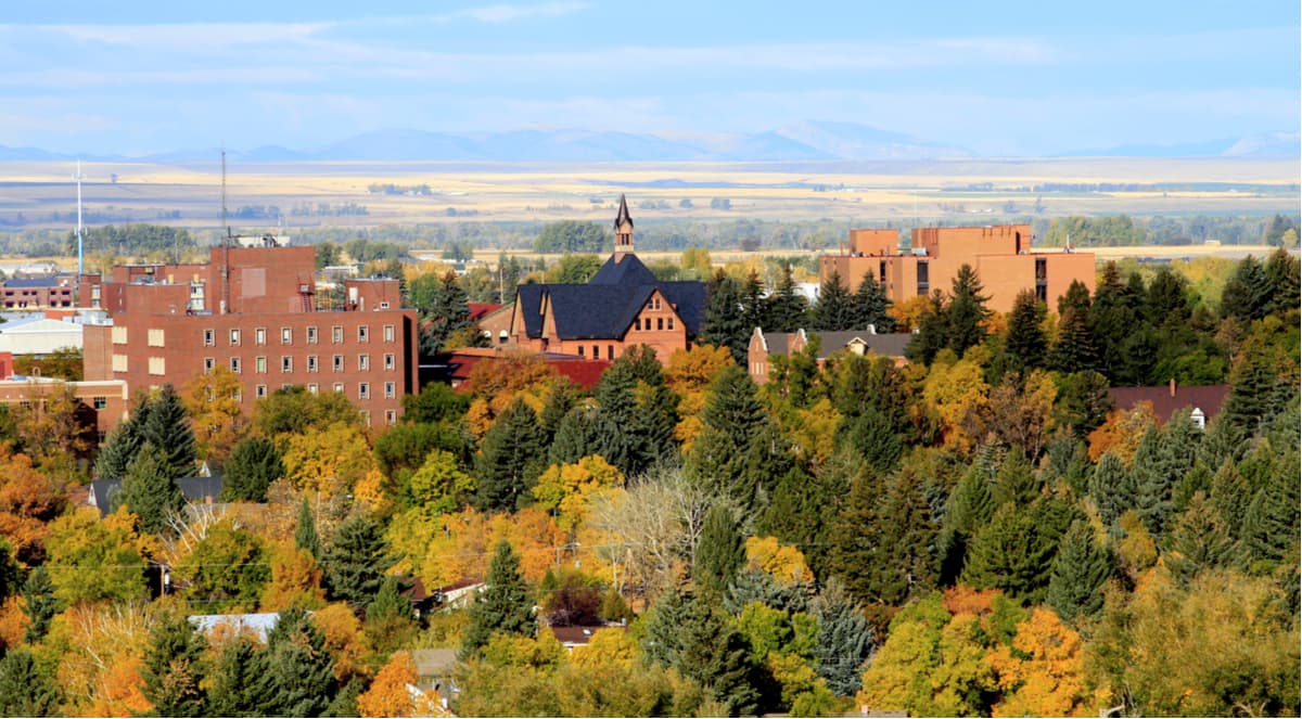
The city of Helena is the capital of the state of Montana. As the state’s sixth-largest city, it’s home to just about 30,000 people, but it’s got more or less everything you need to serve as your home base for trips into the Big Belt Mountains.
Located just south of the Big Belt Mountains, the city of Bozeman is home to nearly 50,000 people and is a well-known hub for outdoor recreation. The city has a fairly busy airport that offers great connections to other major transport hubs around the Western United States, so it’s a good place to fly into if you’re looking to explore more of Montana.