Scan the QR code and open PeakVisor on your phone
Also known as the Land of Enchantment, the US state of New Mexico is home to a superb mix of stunning mountainscapes, vast deserts, and a rich cultural history. It contains 2940 named mountains, the highest of which is Wheeler Peak (13,166ft/4,013m), and the most prominent of which is Sierra Blanca Peak (11,877ft/3,620m).
The state of New Mexico is located in the southwestern region of the United States. It shares a border with 5 other US states as well as 2 Mexican states.
In particular, New Mexico shares a border with Utah, Colorado, and Arizona at the Four Corners. It is also located to the west of both Oklahoma and Texas. Furthermore, New Mexico is located to the north of the states of Chihuahua and Sonora in Mexico.
With a total land area of 121,590 square miles (314,917 sq. km), New Mexico is the fifth largest state in the union after Alaska, Texas, California, and Montana.
However, with a total population of around 2.1 million people, New Mexico is only the 36th most populous state and the 45th most densely populated. In fact, with only 17 people per square mile (6 per square kilometer), New Mexico has a lower population density than only Alaska, Wyoming, Montana, North Dakota, and South Dakota.

New Mexico is officially divided up into 33 counties. It also has a number of distinct geographic regions, though there are no official regional designations. However, due to the state’s mostly rectangular borders, it is fairly easy to separate it into four or five roughly equal regions, each of which has its own unique geographical characteristics:
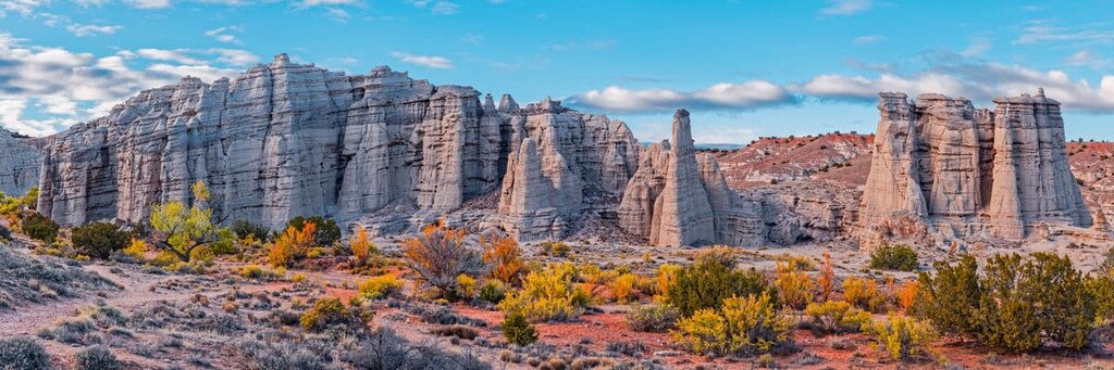
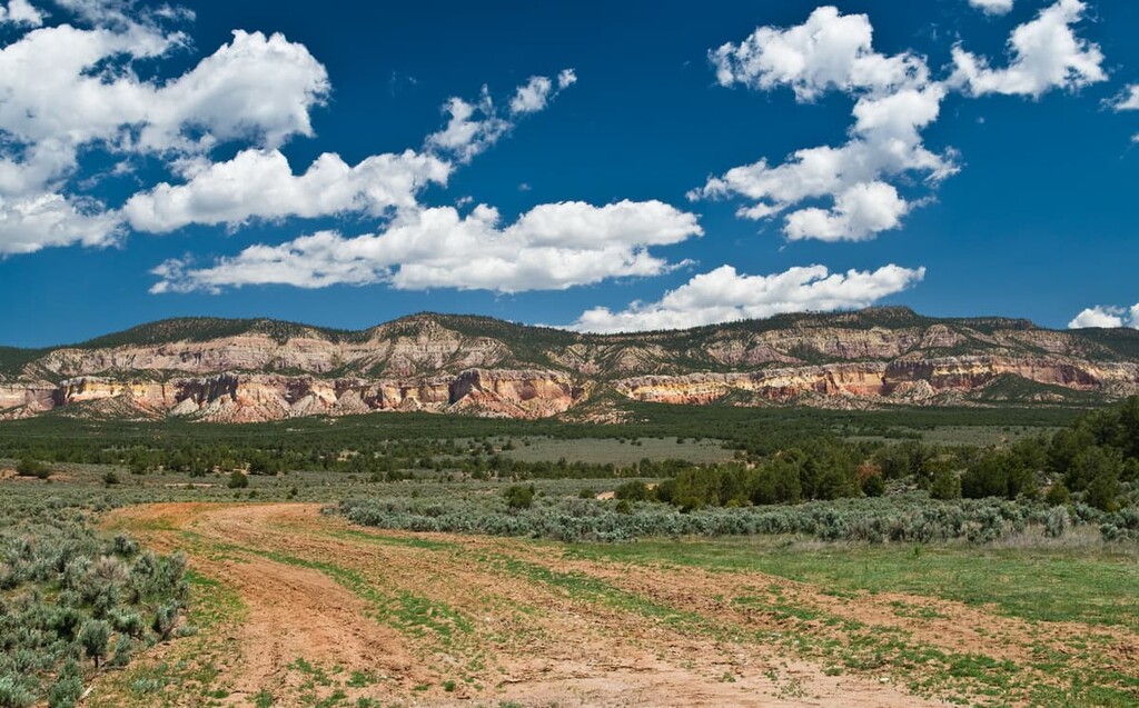
The northwestern region of New Mexico, or the area roughly defined as San Juan, McKinley, Sandoval, Cibola, Bernalillo, Valencia, and Torrance counties, is particularly well-known for its desert landscapes. It contains the Four Corners as well as a rugged, mostly arid section of the Colorado Plateau, which includes the Jemez Mountains, the North San Mateo Mountains, and the Zuni Mountains.
Northwestern New Mexico is also home to many Tribal Nations. Indeed, this region is home to all or part of the lands of the Navajo Nation, the Pueblo of Zuni, the Southern Ute Indian Tribe, the Jicarilla Apache Nation, the Pueblo of Acoma, the Pueblo of Laguna, and the To’Hajiilee Chapter of the Navajo Nation, among many others.
This region contains a superb collection of outdoor recreation areas and protected land. Some of the many federally-managed areas in the region include:

There are also a number of wildlife areas, wildernesses, and state parks within northwestern New Mexico, such as:
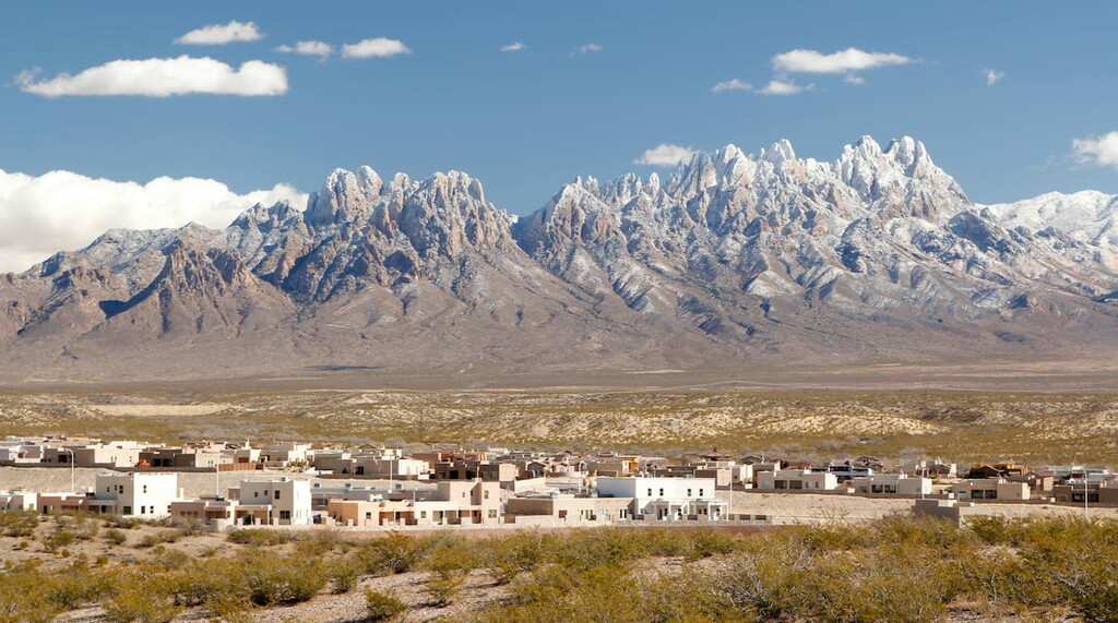
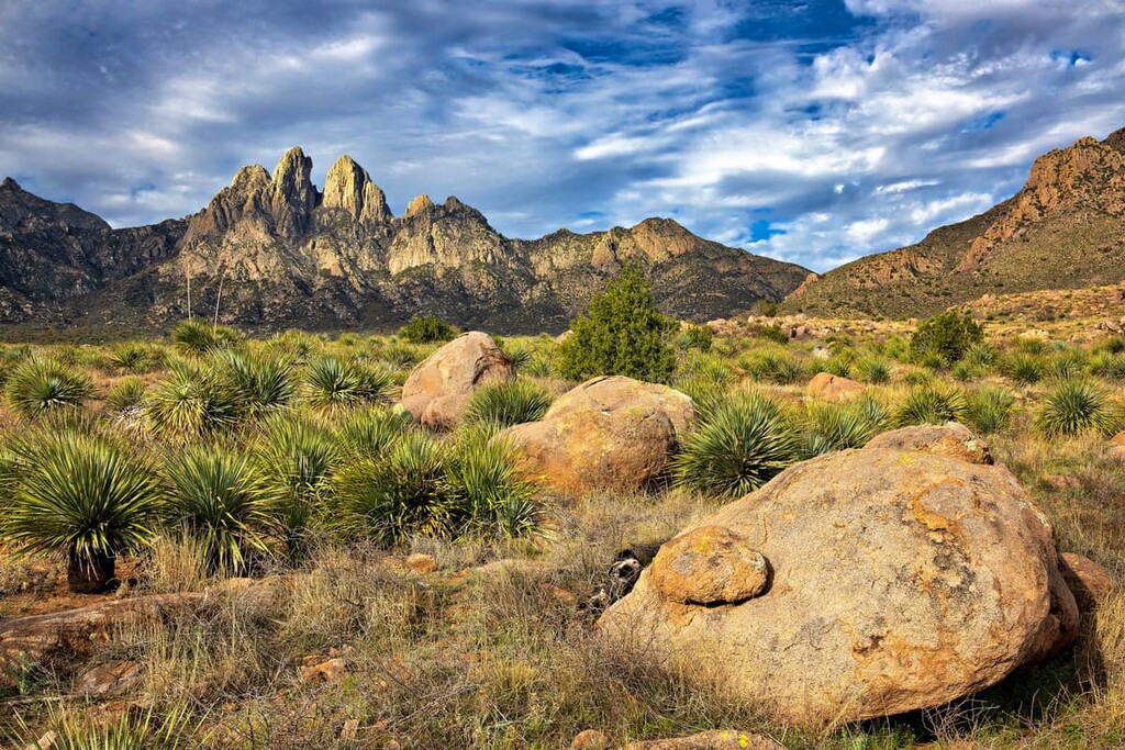
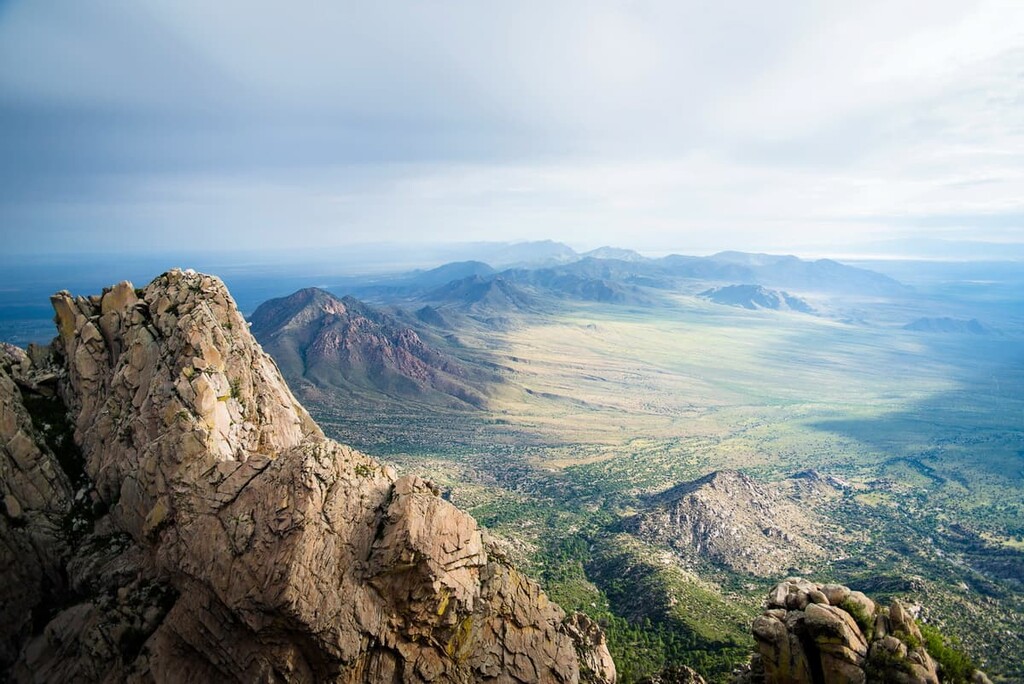
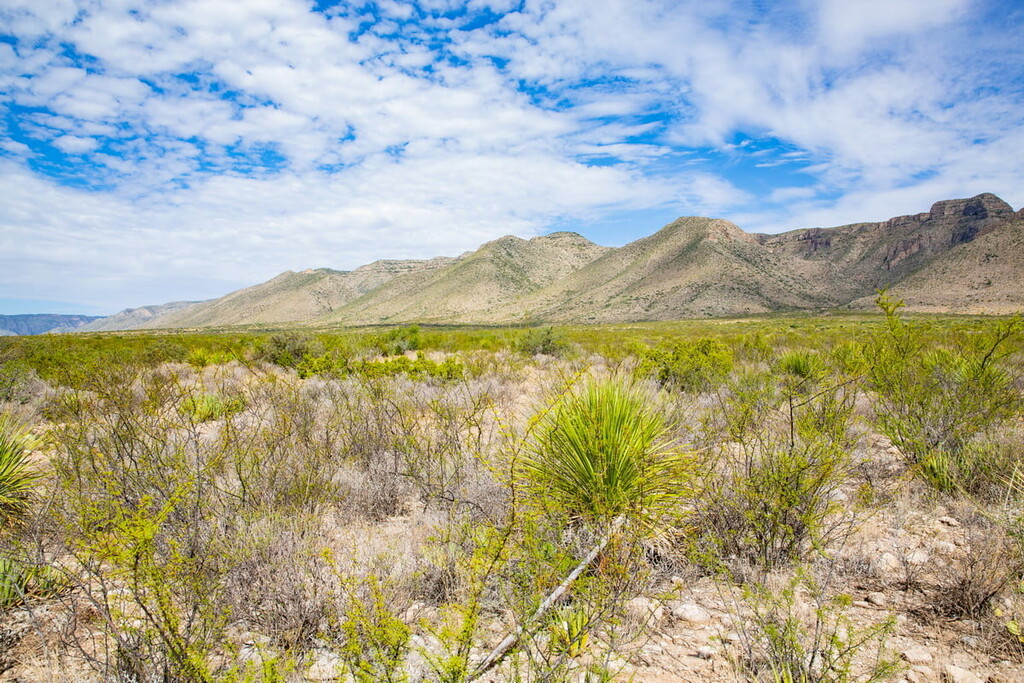
Known for its scenic mountain scapes, Southwestern New Mexico can be broadly defined as including most or all of Catron, Socorro, Grant, Sierra, Otero, Doña Ana, Luna, and Hidalgo counties.
This region is fairly sparsely populated, though it does have a number of fairly large cities, including Las Cruces. It is also home to the lands of the Mescalero Apache Tribe.
Much of Southwestern New Mexico is dominated by the mountains of the Southwest Basins and Range, which includes the San Mateo Mountains, Black Range, Gila Mountains, San Andres Mountains, and Sacramento Mountains.
This region is also home to a particularly fantastic selection of outdoor recreation areas. This includes:
There are also many wilderness areas and wilderness study areas in the region, such as:
The difference between a wilderness and a wilderness study area (WSA) is that wilderness areas have been officially designated by Congress while WSAs have been identified as having potential for becoming an official wilderness area. However, WSAs have not yet been designated as wildernesses, so they are managed in a way that maintains their natural beauty if Congress were to designate them at a later date.
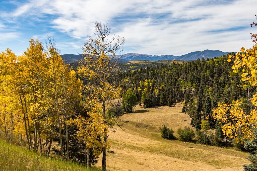
Home to both the Southern Rocky Mountains and the Great Plains, Northeast and North Central New Mexico can be roughly defined as containing Rio Arriba, Taos, Los Alamos, Santa Fe, Guadalupe, San Miguel, Mora, Harding, Union, and Colfax counties.
This region is also home to many Tribal Nations, including the Taos Pueblo, Picuris Pueblo, and Nambé Pueblo.
Here, the peaks of the Sangre de Cristo Range and San Juan Mountains dominate the landscape. However, as you move further west, the mountains give way to the rolling hills of the Great Plains.
There are also many protected areas within Northeast and North Central New Mexico, such as:
This region also has many popular wilderness areas, including:
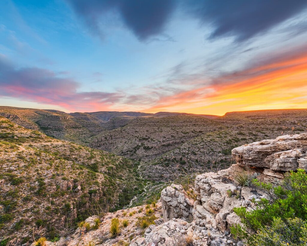
New Mexico’s lowest-lying region, Southeastern New Mexico can be defined as containing Lincoln, Chaves, Eddy, De Baca, Lea, Roosevelt, Curry, and Quay.
This sparsely populated region is mostly dominated by the Great Plains, but there are some isolated mountains here, too, such as the Guadalupe Mountains, Capitan Mountains, and Sacramento Mountains.
Like Southwestern New Mexico, the Southeast Region is quite agricultural. However, there are a number of outdoor recreation areas in the region, such as:
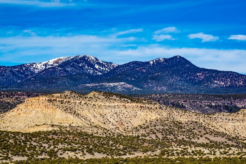
Geologically, New Mexico is a very interesting place. It is actually the meeting point between a number of different geological and geographical provinces, including the Southern Rocky Mountains, the Colorado Plateau, the Southwest Basins and Ranges, and the Great Plains. Each of these areas has its own unique geologic history and topographical features.
The Colorado Plateau covers much of northwestern New Mexico as well as parts of Colorado, Arizona, Utah, and Nevada.
For the most part, the Colorado Plateau consists of sedimentary rocks, though there are some ancient Precambrian metamorphic rocks and newer igneous intrusions in the mix, too. The plateau is believed to have formed as a result of widespread uplift sometime during the Cenozoic.
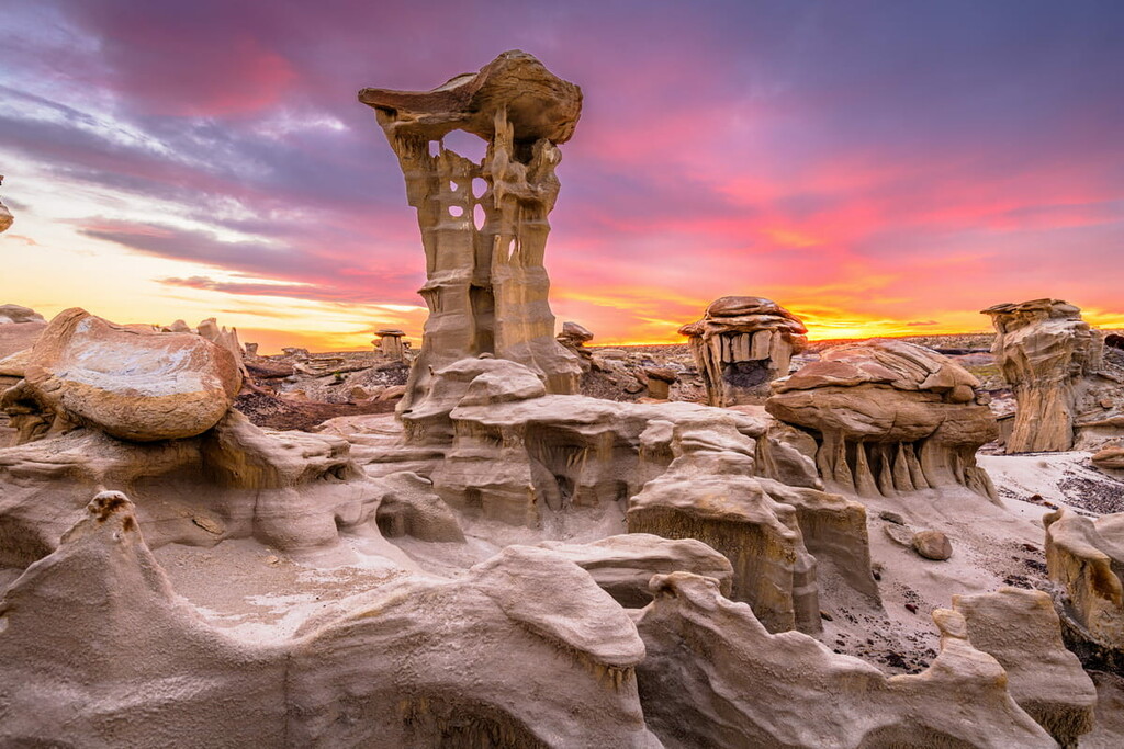
This uplift allowed for increasing erosion rates for the region’s many rivers and streams, including the mighty Colorado River. As a result, much of the Colorado Plateau is home to massive canyons and stunning desert rock formations.
Major peaks in the region include Chicoma Mountain and Mount Taylor.
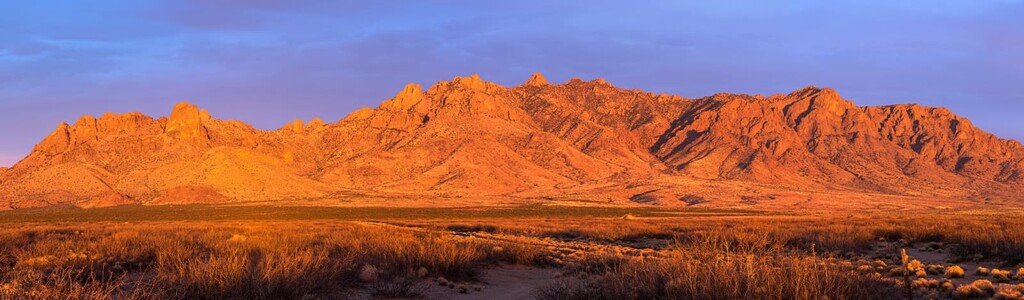
Encompassing much of southwestern New Mexico, the Southwest Basins and Ranges are a continuation of the Great Basin Ranges to the northwest.
As a part of the Great Basin Ranges, the Southwest Basins and Ranges are believed to have formed as a result of tectonic extension during the Early Miocene. However, the geologic history of the range is quite complex and is not fully understood.

Major peaks include Sierra Blanca Peak, Whitewater Baldy, Sandia Crest, and Lookout Mountain.
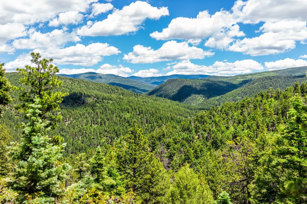
Dominating the north-central part of New Mexico, the Southern Rocky Mountains are the southernmost extent of the huge Rocky Mountain system of ranges. This range actually starts in New Mexico and continues northward to the provinces of Alberta and British Columbia in Canada.
For the most part, the ranges within the Southern Rocky Mountains started forming during the Laramide orogeny about 80 to 55 million years ago. However, the two main subranges in the region—the Sangre de Cristo Range and the San Juan Mountains—each have their own unique geological histories.

The Sangre de Cristo Range, in particular, is a bit of a mash-up of different rock types. The oldest rocks in the range are Precambrian gneisses, though there are some much younger Mississippian-age limestones and Devonian-age sandstones throughout, too.
Meanwhile, the San Juan Mountains are especially famous for their extensive mineral deposits. The range was actually heavily mined for silver and gold during the nineteenth century, evidence of which can still be seen today.
That being said, both ranges were most recently shaped by the widespread glaciation of the Pleistocene. This glacial cover helped carve out many of the scenic features that we see in the mountains today.
Major peaks include Wheeler Peak, Truchas Peak, North Truchas Peak, Lake Fork Peak, Chimayosos Peak, and Jicarita Peak.
The final major physiographic region in New Mexico is the Great Plains, which stretch across the eastern portion of the state. This region is mostly flat, with few major high points, at least when compared to the ranges to the west.
While the geologic history of the Great Plains is quite complex, much of the region is covered with alluvial deposits and other similar sediments. Furthermore, the southeastern part of the Great Plains in New Mexico is particularly rich in oil reserves, which are a major economic driver in the region.
New Mexico is home to a large diversity of different ecosystems. In fact, it contains seven Level III ecoregions, including:
The Southern Rockies ecoregion is found in northern New Mexico around the Sangre de Cristo and San Juan Mountains. This region contains a mix of different ecosystems, including grasslands at lower elevations and coniferous forests at mid and high elevations. The major tree species in this area include ponderosa pine, juniper, oak, aspen, and Douglas fir.
Found mostly in northwestern New Mexico, the Arizona/New Mexico Plateau is a transitional region between the grasslands of the Southwestern Tablelands to the east and the higher elevation locales of the Colorado Plateau to the west.
This region is dominated by doubt-tolerant shrubs and grases. However, some higher elevation locales also contain open coniferous woodlands.
The Arizona/New Mexico Mountains ecoregion is found mostly in southern New Mexico within some of the region’s more mountainous areas.
Here, the lower elevations are mostly chaparral and other drought-tolerant species. Meanwhile, mid- and high-elevations are a mix of pinyon-juniper forests and oak woodlands as well as large stands of ponderosa pine.
Covering much of the southern half of New Mexico, the Chihuahuan Deserts ecoregion is a hot, highly arid area. Due to the very hot and dry climate in the region, this area mostly supports grasses and shrubs. However, some of the higher mountain regions are home to oak-juniper woodlands,
Covering a sliver of land along the eastern border of New Mexico, the Western High Plains ecoregion is a grassy area of the Great Plains. Although much of the region has since been cultivated for agricultural purposes, its natural grasses include grama-buffalo grass. Trans-Pecos shrub savanna may have also proliferated in the area.
The Southwestern Tablelands ecoregion is found mostly in northeastern New Mexico. Unlike many of the other Great Plains ecoregions, however, this region isn’t very agricultural. In fact, it is mostly subhumid grasslands where mesquite-buffalo grass and grama-buffalo grass dominate.
But, grazing is a fairly common economic activity in the area, which has led to some changes in land use in the region.
The final ecoregion in New Mexico, the Madrean Archipelago or the “Sky Islands” is found in a very small region of the extreme southwest portion of the state. This area is home to a wide variety of different elevations, which have given the region a number of unique ecosystems.
Here, you can find anything from grama-tobosa shrub-steppe to oak-juniper and ponderosa pine woodlands, which stand in stark contrast to the Chihuahuan Desert ecoregion that surrounds it.
The area that is now part of the state of New Mexico has a long and storied history of human inhabitation. Humans have lived in the region since time immemorial, dating back at least to the people of the Clovis culture.

At the time of European contact, there were dozens, if not hundreds of tribal nations living in what is now New Mexico. These days, there are currently 23 federally recognized tribes in New Mexico, many of whom have reservations that represent just a fraction of their traditional territory.
Perhaps the first people of European descent to visit what is now New Mexico were members of Francisco Vásquez de Coronado’s 1540 expedition. Coronado set off to find the mythical Seven Golden Cities of Cibola, but, as far as we know, he didn’t find them.
Throughout the sixteenth to early nineteenth centuries, New Mexico was claimed by the Spanish as part of New Spain. During this time, the Spanish established the city that is now Santa Fe as their capital in the region.
After the Mexican War of Independence, control of what is now New Mexico was ceded to the newly-independent Mexico in 1821. However, the Republic of Texas claimed a portion of the region to the east of the Rio Grande in the 1830s, which led to the failed Texan Santa Fe Expedition.

Around this same time, the northeastern part of New Mexico was actually part of claimed French territory. However, it was purchased by the United States during the Louisiana Purchase and then ceded to Spain during the Adams-Onis Treaty.
In the aftermath of the Mexican-American War and the signing of the Treaty of Guadalupe Hidalgo, Mexico gave up its territories in Texas, California, and New Mexico to the United States.
The New Mexico Territory was then established in 1850, but this actually included most of Arizona. New Mexico’s territory then expanded in 1853 under the Gadsden Purchase. However, New Mexico did not gain its statehood until 1917, making it the 47th state in the union.
In 1928, the discovery of oil in New Mexico helped build the state’s economy. Later, during World War II, New Mexico played a large role in the development and testing of the atomic bombs at what is now the White Sands Missile Range.
These days, New Mexico has a unique and varied economy. Much of the state’s economy relies on oil and gas production. However, it is also a major hub for federal government spending as it has a number of large military bases and national laboratories.
Additionally, tourism is becoming a major player in New Mexico’s economy. The state’s many stunning landscapes and outdoor recreation areas makes it an increasingly popular place to visit for travelers from far and wide.
New Mexico contains a spectacular treasure trove of hiking opportunities. Here are some of the best places to check out in the state:
White Sands National Park is a truly out-of-this-world landscape located in south-central New Mexico. It is a mostly flat area that’s dominated by white sand dunes that are made up of gypsum crystals.

Despite being very dry and sandy, there are a number of animal and plant species that live in the park. In fact, at least 45 of the region’s species are endemic to White Sands, which means they live nowhere else on Earth.
Interestingly, White Sands is one of the newest national parks in the country. It was a national monument for nearly nine decades until it became a park in 2019. These days, it is one of New Mexico’s most visited protected areas and it offers a great selection of outdoor recreation opportunities.
Located in northern New Mexico, Carson National Forest boasts some of the state’s best mountain landscapes. It contains 123 named peaks, including the state’s highest: Wheeler Peak.
Carson National Forest contains much of the San Juan Mountains and Sangre de Cristo Range in New Mexico. It offers some of the finest hiking, skiing, and climbing opportunities in the region. There are plenty of excellent hikes to check out in the forest, including the Lost Lake Loop, the Bull of the Woods Trail to Wheeler Peak, and the Columbine Canyon Trail.
Covering a wide swath of western New Mexico, the Gila National Forest is home to some of the most stunning wilderness areas in the state. The forest contains 277 named mountains, the highest and most prominent of which is Whitewater Baldy.
The forest is one of the largest in the contiguous United States with over 2.7 million acres (1 million hectares) of land within its boundaries. It is also home to the Gila Wilderness, which is home to a truly stunning array of flora and fauna.
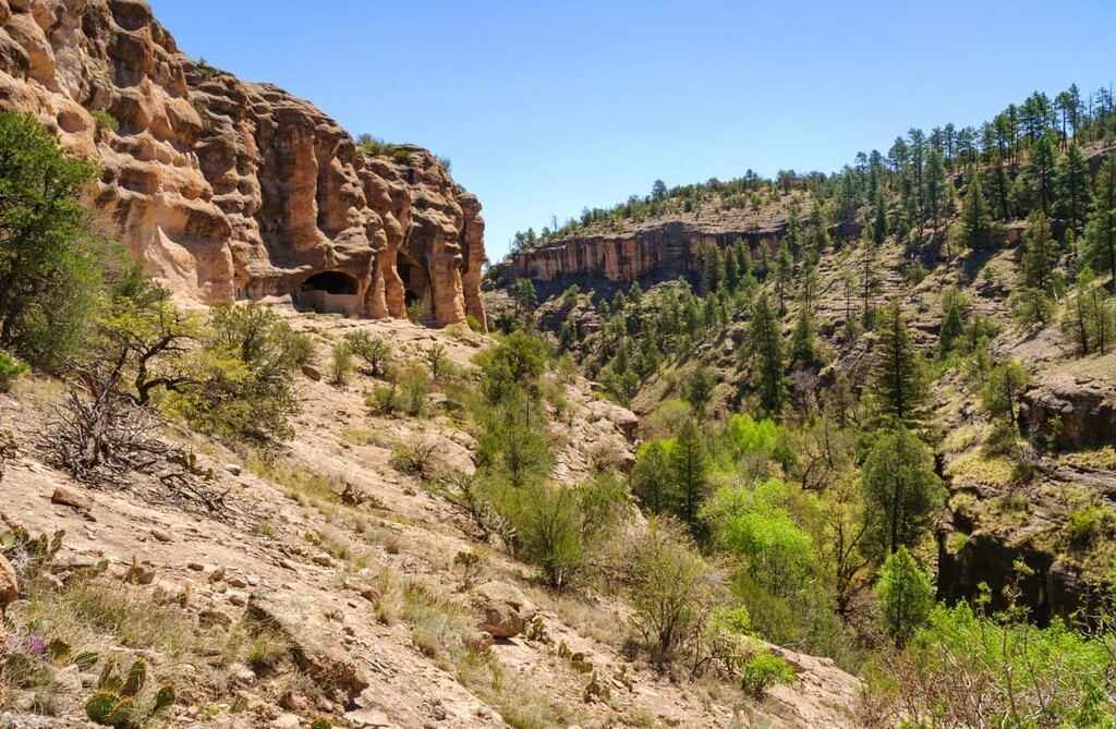
The wilderness and the forest as a whole both offer superb hiking and backpacking opportunities. However, due to the remoteness of the terrain and the scarcity of water, proper planning is key for any trip to the region.
For skiing and snowboarding enthusiasts, there are 9 ski resorts in New Mexico.
The largest ski resorts near Santa Fe, the capital of the state located on the north of its territory, are also the largest in the entire New Mexico. In descending order of size, these are Taos Ski Valley with 113 km (70 mi) of ski slopes and 14 ski lifts, Angel Fire Resort, Ski Apache, Ski Santa Fe, Sandia Peak, Pajarito Mountain, Red River, Sipapu, and Cloudcroft areas for skiing in New Mexico.
Check the New Mexico ski resorts map and the larger USA ski resorts map in the World Mountain Lifts section of the site. It includes information about open ski lifts / slopes in New Mexico in real-time with opening dates and hours. There are also year-round cable cars, funiculars, cog railways, aerial tramways, and all other types of mountain lifts.

Looking for a place to stay during your trip to New Mexico? Here are some of the best cities to check out”
Albuquerque is situated a mile above sea level and it receives 310 days of sunshine a year, making it the perfect place to explore the outdoors. In fact, visitors to Albuquerque can find a whole slew of trails within the nearby Sandia Mountain Wilderness and Manzano Mountains.
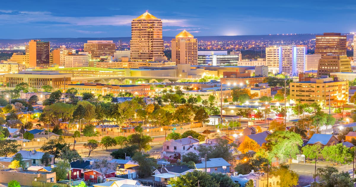
In particular, the Sandia Peak Aerial Tramway is a popular way to experience Albuquerque and the surrounding mountain landscape. Furthermore, the Valles Caldera National Preserve, 89,000-acre area within a collapsed crater and the Jemez Mountains are just an hour away.
Taos is set within the majestic Rocky Mountains and is home to some of the best outdoor recreation opportunities in the country. Taos Ski Valley sits within New Mexico’s Enchanted Circle and it features 1,294 acres (523 ha), 110 trails, and 15 lifts. Visitors to the region also appreciate miles of popular hiking trails in the Carson National Forest and Wild Rivers Recreation Area.
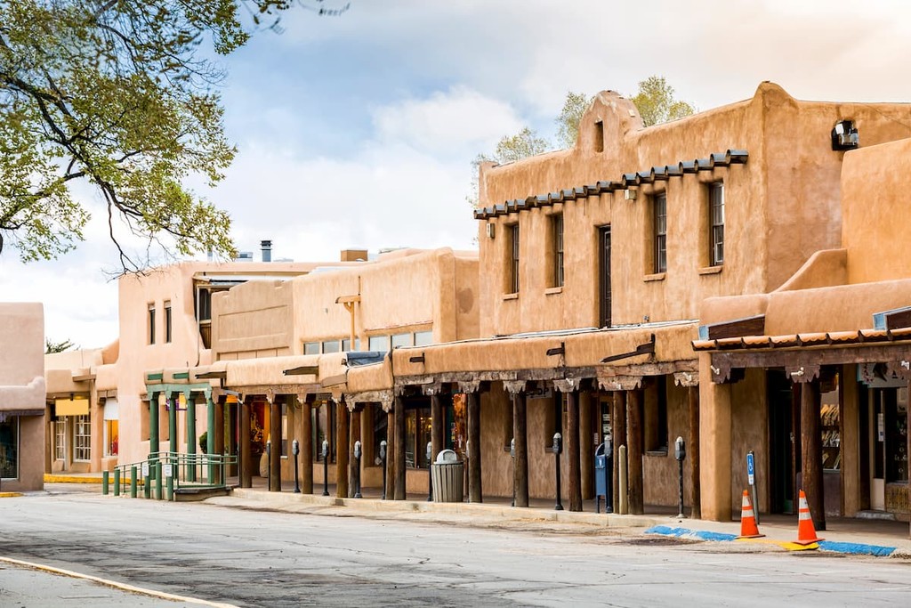
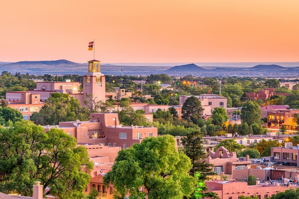
New Mexico’s state capital, Santa Fe, is located just a short drive away from the Sangre de Cristo Mountains. As a result, in addition to its world-renowned restaurants and historical museums, Santa Fe is also considered to be one of the top hiking destinations in the country.
In the winter months, skiing and snowshoeing are particularly popular pastimes for locals and travelers, alike. One of the main resorts in the area, Ski Santa Fe, is located within Santa Fe National Forest, and it offers 74 trails, 7 lifts, and 660 acres (267 ha) of terrain.
The second largest city in New Mexico, Las Cruces is situated in the southern part of the state near its border with Texas. Las Cruces is considered to be one of the primary economic and cultural hubs of the region.
It is a center for commerce for the entire Mesilla Valley, which is one of New Mexico’s major agricultural regions. Plus, while the city itself is located in a relatively flat area, it boasts stunning views of the Organ Mountains, which are just a short drive away.