Scan the QR code and open PeakVisor on your phone
The Capitan Mountains are a prominent mountain range in southern New Mexico. The Smokey Bear Historical Park, where Smokey Bear was discovered and memorialized, lies within the range. The Capitan Mountains consist of 27 named peaks; the tallest and most prominent is Capitan Peak at 10,082 feet (3,073 m) with 3,156 feet (962 m) of prominence.
The Capitan Mountains are in the south-central region of the US state of New Mexico. The entire range lies within Lincoln County.
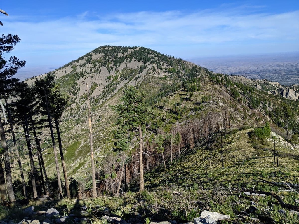
Peaks span roughly 20 miles (32 km) in length from east to west and 6 miles (10 km) in width and comprise two distinct regions. Numerous canyons divide the northern peaks, while the southern section features unique rock formations and outcroppings.
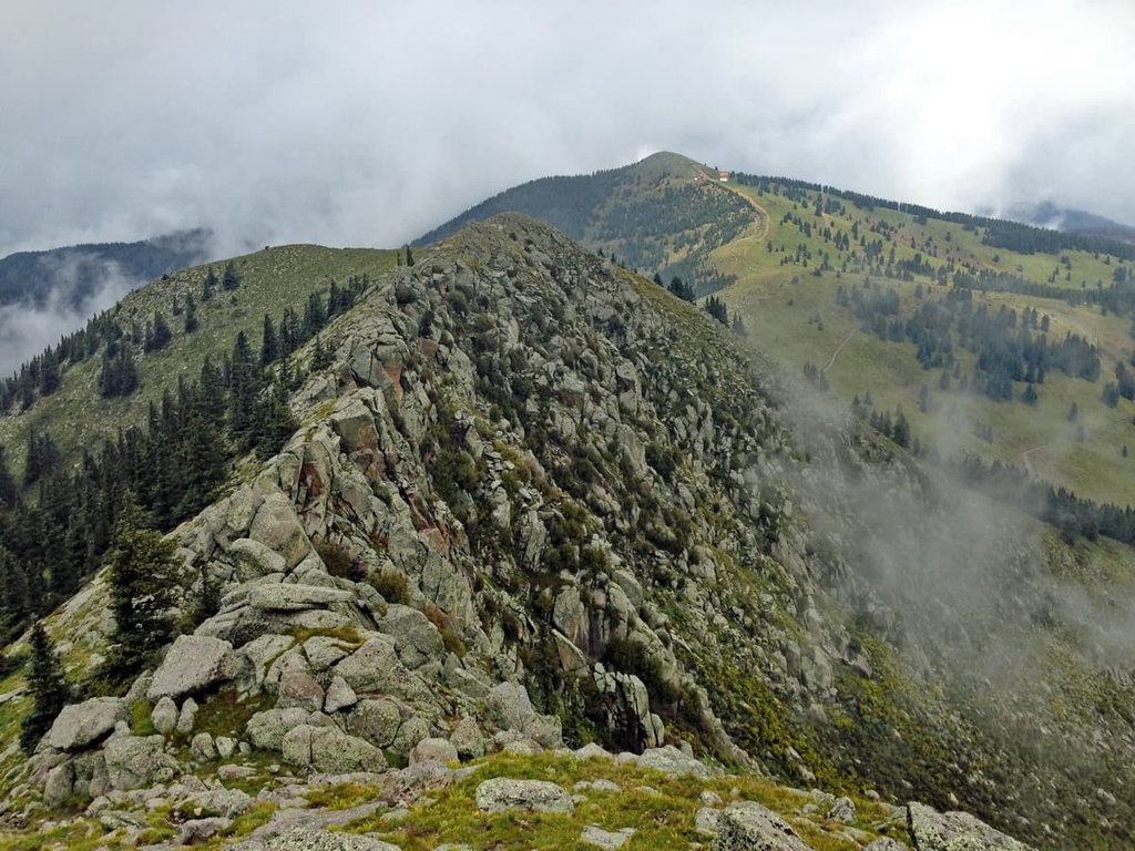
The main ridgeline features a thick forest interspersed with mountain meadows. The Capitan Mountains Wilderness protects the local region’s ecology, while the entire range is part of the greater Lincoln National Forest.
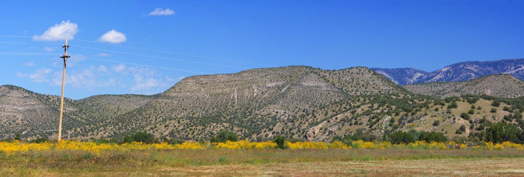
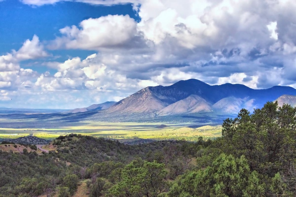
The Sacramento Mountains are south of the Capitans, while the Sierra Blanca is to the southwest; the Rio Bonito Valley separates both from the Capitans.
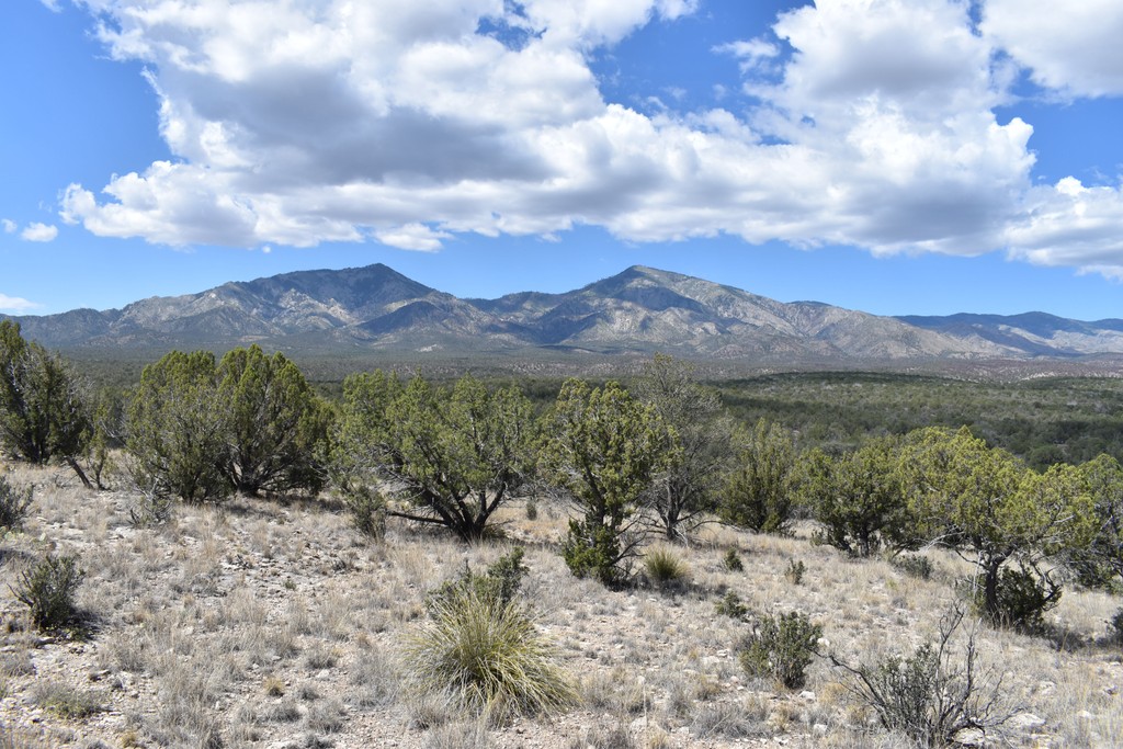
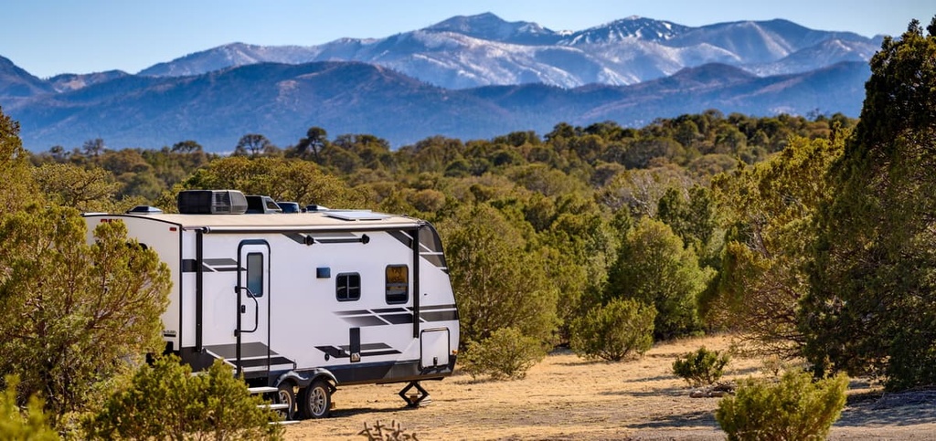
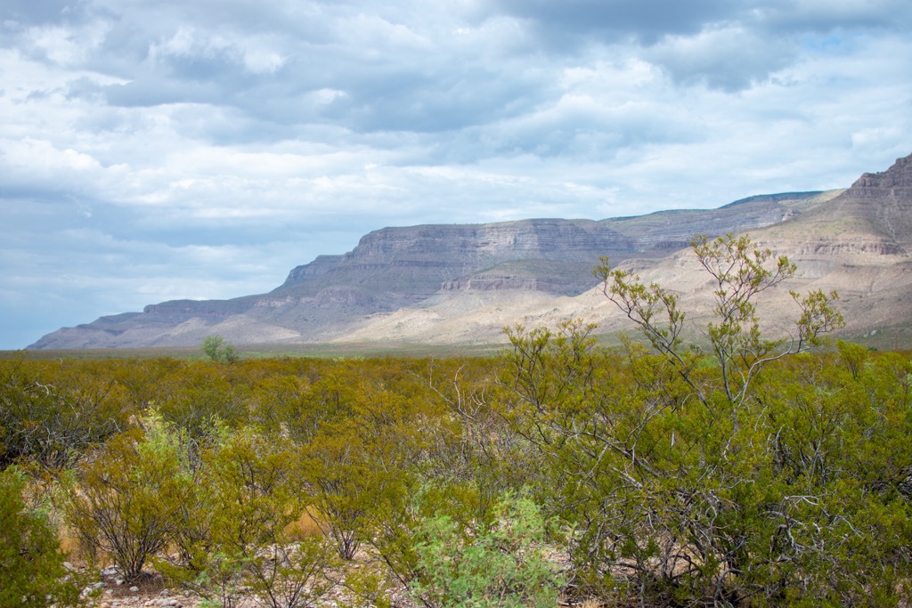
Further east lies the Pecos River, while the Rio Grande snakes along to the west. The San Andres Mountains lie southwest of the range and run in a north-to-south direction. Although the upper elevations are forested, a desert landscape bounds the lowers elevations surrounding the peaks.
Other popular outdoor recreation areas surround the Capitan Mountains. A vast section of the Lincoln National Forest is directly south, the Cibola National Forest is north and west, and the Chupadera Wilderness and Apache Kid Wilderness lie to the west.
The Capitan Mountains mark some of the easternmost peaks of the Southwest Basins and Ranges. This geological province spans across the southwestern US and is named after the series of alternating ranges and basins.
Precambrian rocks include schists, gneisses, granites, and amphibolites. The stretching and folding of the Earth’s crust slowly formed the many valleys and peaks in the region. A granite intrusion further accentuated the Capitan Mountains’ high peaks.
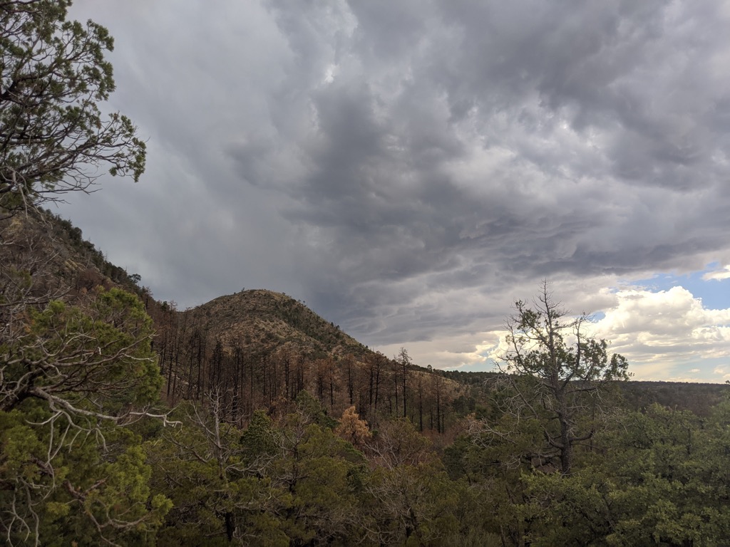
Widespread volcanic activity and millions of years of erosion helped to shape the Capitan Mountains further, evidenced by the rock outcroppings, sheer cliffs, and canyons.
Major peaks include Capitan Peak, Carrizo Mountain, West Mountain, Lone Mountain, and Tucson Mountain.
The Capitan Mountains feature dramatic elevation changes, spanning from the desert floor to the summit of Capitan Peak, creating the parameters for multiple ecosystems and allowing diverse flora and fauna to thrive.
The two primary factors are rainfall and temperature. The upper elevations receive drastically more rain than the lower elevations. The higher you go, the more it rains. Naturally, the temperature also decreases at high altitudes. The combination of wetter soils and more moderate temperatures fosters the Capitan Mountains' alpine forests.
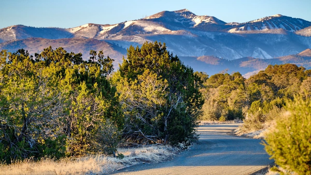
Minimal flora characterizes the lowest elevations, which is primarily harsh desert. As the elevation rises, the environment shifts to juniper and pinyon woodlands. Mid-elevations are populated by ponderosa pine, while patches of conifers mark the highest peaks. The ridgelines also feature alpine grasslands, meadows, and rocky hillsides interspersed throughout the forests.
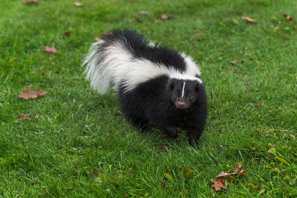
Black bears, mule deer, bobcats, porcupines, skunks, squirrels, and foxes are common mammal species. The surrounding national forest provides habitats for over 200 species of birds.
The land within and surrounding the Capitan Mountains has a long and rich human history dating back thousands of years. Long before the arrival of European colonizers, the region's Indigenous peoples inhabited this oasis of peaks. Most recently (for the last 700 years), numerous bands of Apache, including the Mescalero Apache Tribe and Lipan Apache, have called the Capitan Mountains home.
People of European descent arrived in the region during the late seventeenth century. The Spanish colonized southern New Mexico and established numerous missions and ranches.
Mountain ranges located to the southwest were used for copper mining throughout the eighteenth century, bringing more people to present-day New Mexico. After the Mexican War of Independence in 1821, the land became part of the newly founded nation of Mexico.
However, Mexican ‘New Mexico’ was short-lived. The land was ‘ceded’ to the US following the end of the Mexican-American War in 1848. The nearby city of Alamogordo was founded in 1898 as the El Paso and Northeastern Railroad cut through the region.
The region's Indigenous peoples were continually harassed, attacked, and murdered by the settlers, who often had government backing. Both sides committed atrocities, but Natives, who were out-manned and out-gunned, suffered disproportionate losses vs. the whites. Those who remained were forcibly moved onto reservations.
In 1902, the government first established forest reserves that would become Lincoln National Forest. The forest was continually expanded, with the last significant addition in 1945.
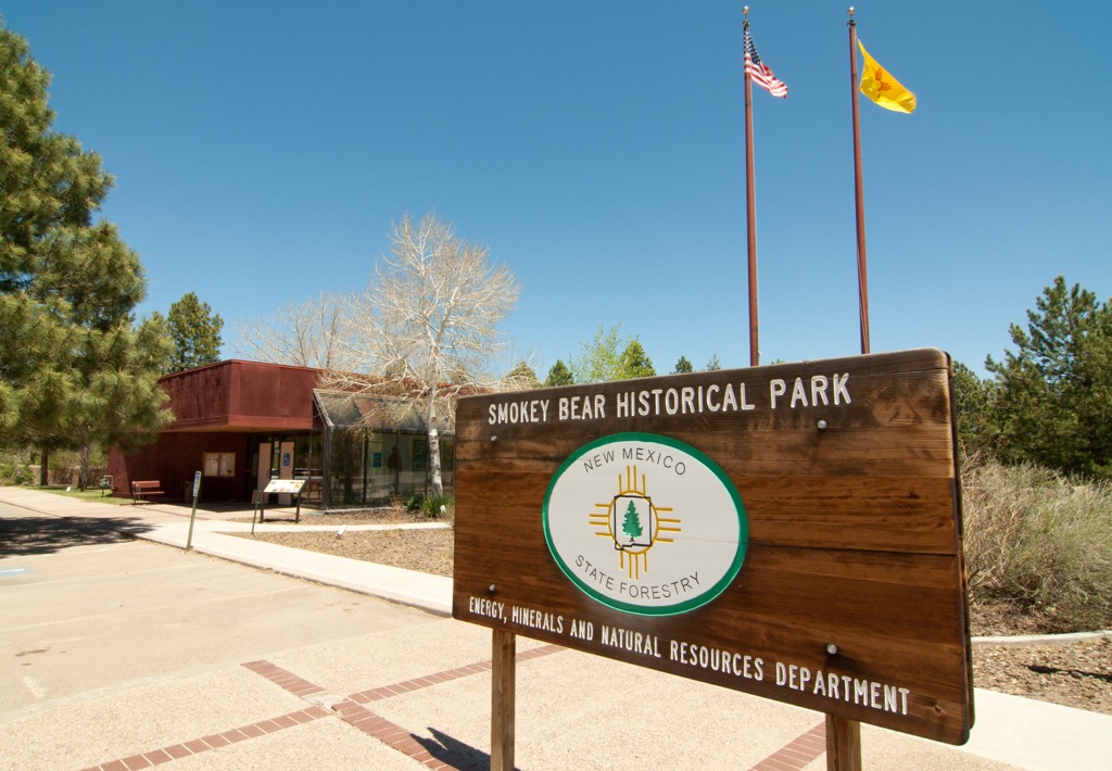
The Capitan Gap Fire was a human-caused fire in 1950 that burned 17,000 acres (69 square km) in the range. During the inferno, firefighters came across a bear cub who survived by climbing to the top of a tree. The bear was rescued, later becoming the iconic symbol of Smokey Bear.
The federal government used Smokey to symbolize an ill-fated national campaign against forest fires. While the government harbored good intentions, namely to prevent death, ecological degradation, and the destruction of natural resources, ecologists did not yet understand fire’s role in the complex equilibrium of western forests.
As a result of a changing climate and the suppression of forest fires for the better part of a century, western forests are burning at unprecedented rates as dead organic matter, the fuel for massive fires, accumulates and dries on the forest floor.
Today, a Smokey Bear Vista Point overlooks a portion of Lincoln National Forest. Smokey Bear Historical Park is on the southwestern side of the range.
The Capitan Mountains are home to a few trails and hiking opportunities. Here are some of the top hiking spots to visit in the region:
One of the most popular hikes in the range takes hikers to the summit of the tallest peak, Capitan Peak. The trail climbs steadily throughout, winding through rocky hillsides scattered with trees. Low-growing fauna allows for panoramic views throughout much of the route. This out-and-back route is 7.3 miles (12 km) long and features 2,365 feet (721 m) of elevation gain.
Hikers can also reach the summit of Capitan Peak via the Summit Trail. This path follows along the main ridgeline, featuring numerous small climbs and descents. This less-traveled scenic route is 15.5 miles (25 km) long and features 4,058 feet (1,237 m) of elevation gain.
Pierce Canyon Trail climbs gently throughout, beginning in the foothills before passing through the forested hillsides. A section of the route follows along a small creek with sweeping views. Sometimes, the trail isn’t well marked, so hikers should have navigation skills. This out-and-back route is 12.7 miles (20 km) and features 3,182 feet (970 m) of elevation gain.
Carrizo Peak marks the second most prominent and third tallest peak in the Capitans. After climbing through the forest, the trail opens to grasslands along the primary ridgeline. Once reaching the summit, the trail descends back to the trailhead. This route is 8.7 miles (14 km) and features 2,972 feet (906 m) of elevation gain.
Looking for a place to stay near the Capitan Mountains? Here are some of the best cities and villages to check out in the region:
The village of Capitan is along the southern edge of the Capitan Mountains, surrounded by sections of Lincoln National Forest. South of the village lies the Sacramento Mountains. Capitan is home to roughly 1,400 residents and was founded in the 1890s.
The Capitan Gap Fire of 1950 occurred just outside the village. The rescued black bear from the fire was named Hotfoot Teddy, later becoming the famous Smokey Bear. Upon Smokey’s death in 1976, he was buried outside the village in the Smokey Bear Historical Park.
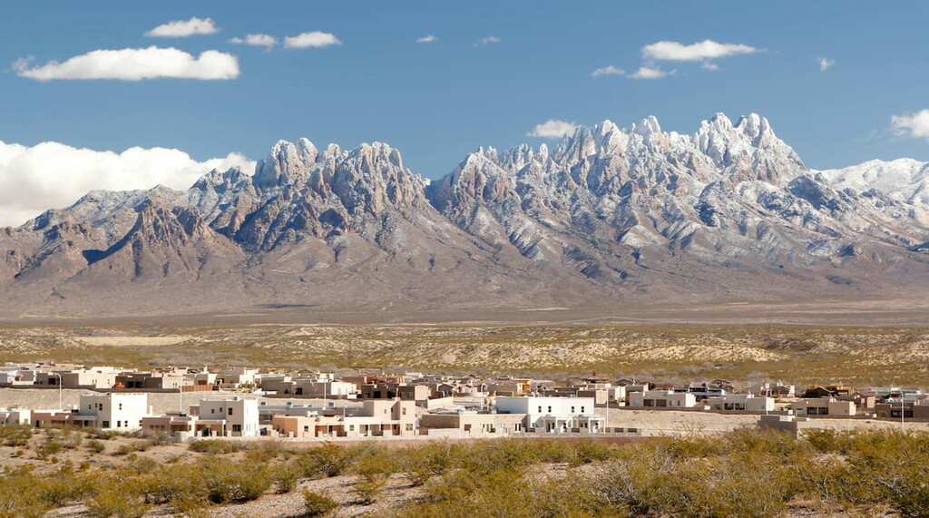
Las Cruces lies southwest of the Capitan Mountains, marking the closest major city. Las Cruces is home to around 111,000 residents and is the most populous city in southern New Mexico.
Situated along the Rio Grande, the city has become an economic and geographic hub for Mesilla Valley. Las Cruces hosts festivals such as the Harvest Wine Festival, Southern New Mexico Wine Festival, and an annual Day of the Dead celebration.
The city is a hub for outdoor recreation with its proximity to Lincoln National Forest, White Sands National Park, Organ Mountains–Desert Peaks National Monument, and Prehistoric Trackways National Monument. Those looking to learn more about the region can visit the Branigan Cultural Center, Gadsden Museum, and Las Cruces Museum of Art.