
Scan the QR code and open PeakVisor on your phone
The Southwest Basins and Ranges include 6,396 named peaks. The highest is Sierra Blanca Peak at 3,649 m. Other notable peaks include Lookout Mountain, Whitewater Baldy and Mogollon Baldy Peak.
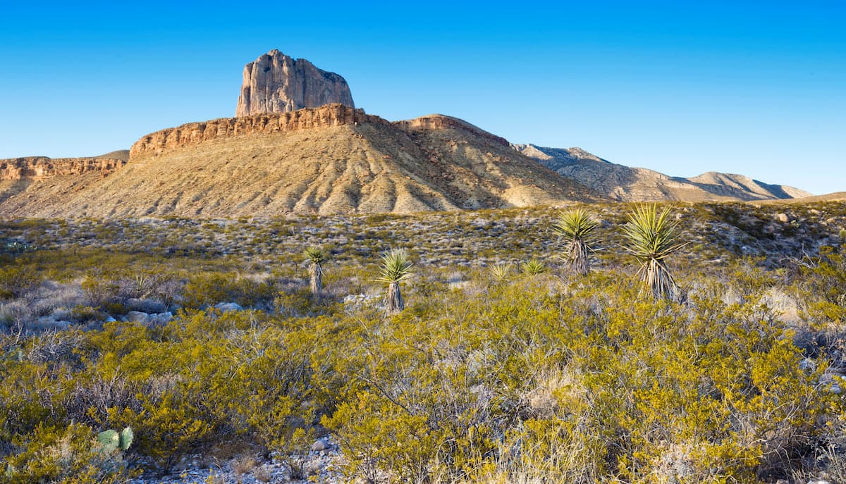
Featuring sprawling desert, rugged mountains, and stunning scenery, the Southwest Basins and Ranges are a collection of mountain systems located in the southwestern part of the United States and the northwestern part of Mexico. The range contains 5,836 named mountains, the highest of which is Sierra Blanca Peak (11,893ft/3,625m), and the most prominent of which is Mount Graham (10,696ft/3,260m).
Aptly named, the Southwest Basins and Ranges are mostly located within the southwestern most part of the United States, as well as a section of northwestern Mexico. The range includes parts of Texas, New Mexico, Arizona, and Nevada, as well as parts of the states of Sonora and Chihuahua in Mexico.
This mountain system is located to the south of a number of other major mountain systems, including the Colorado Plateau, the Western Rocky Mountains, the Southern Rocky Mountains, and the Great Basin Ranges. It is also just to the west of the California Ranges.
To the east, the Southwest Basins and Ranges is bordered by the relatively flat and low-lying Great Plains. Moreover, the Sierra Madre Occidental and the Mexican Plateau form the eastern and southern borders of the range in Mexico.
Within the Southwest Basins and Ranges, there are dozens of smaller mountain ranges and parcels of public land. Due to the size of the range, it's easiest to categorize its subranges and outdoor recreation areas by state and country.
The majority of southern and western Arizona is included within the Southwest Basins and Ranges, unlike the northern and eastern part of the state, which is predominately part of the Colorado Plateau region. In fact, Arizona is home to a substantial part of the Southwest Basins and Ranges.
Within Arizona, there are quite a few subranges of the Southwest Basins and Ranges, including:
Moreover, Arizona is home to a significant number of national parks, forests, monuments, and wildlife refuges, such as:
There's also a truly impressive array of wilderness areas within the state's section of the Southwest Basins and Ranges, including:
After Arizona, New Mexico is the state with the second-largest concentration of Southwest Basins and Ranges peaks in the United States. While the Southern Rocky Mountains are located just to the north, New Mexico contains a number of basin and range subranges, including:
Moreover, the southwestern portion of New Mexico contains quite a few national parks, forests, conservation areas, and wildlife refuges, such as:
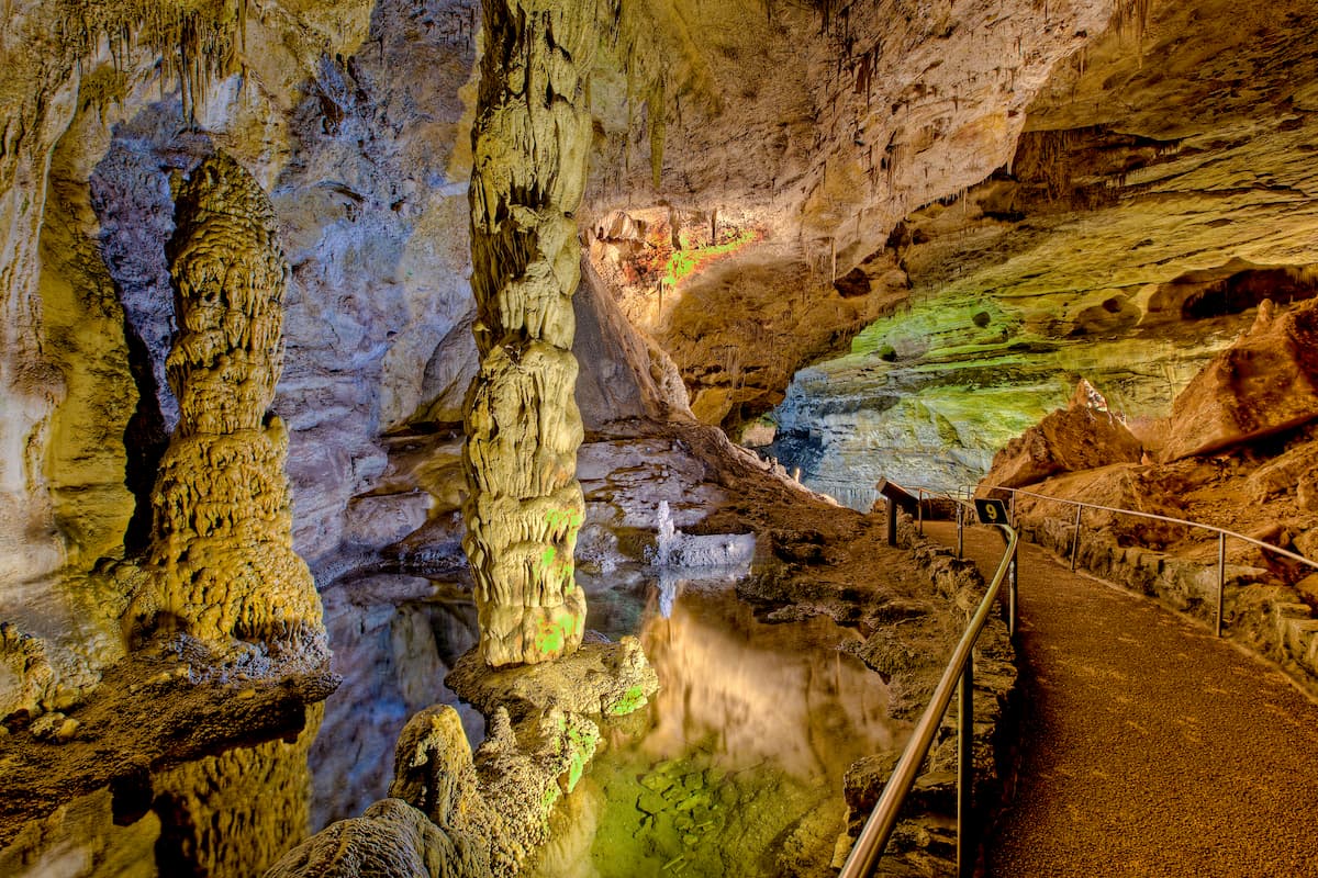
Carlsbad Caverns National Park
Gila Cliff Dwellings National Monument
White Sands National Park
Finally, the state's southwestern corner contains some very popular wilderness areas, including:
While the vast majority of Nevada is actually included within the Great Basin Ranges, the southeasternmost tip of the state technically falls within the purview of the Southwest Basins and Ranges.
Here, the peaks are predominantly part of the Eldorado Mountains, which are located within the Ireteba Peaks Wilderness of Lake Mead National Recreation Area.
Despite being the second largest state in the US, only a small portion of Texas is located within the Southwest Basins and Ranges. Indeed, only the westernmost part of the state, along its border with the state of Chihuahua in Mexico, is home to peaks that are part of the range.
Here, the mountains are either isolated and not part of any particular range, such as those in Big Bend National Park and Big Bend Ranch State Park.
However, a small section of northwestern Texas, along the state's border with New Mexico is included within the Guadalupe Mountains, which are technically a subrange of the Sacramento Mountains to the north. Here, you can also find Guadalupe Mountains National Park and Texas' highest peak, Guadalupe Peak.
The Southwest Basins and Ranges cover a small section of northwestern Mexico, mostly in the state of Sonora, with a small bit in northwestern Chihuahua.
Here, the peaks are located to the west of the Sierra Madre Occidental. They are also separated from the California Ranges to the east by the Mexicali Valley of the Salton Basin and from the ranges of Baja California by the Gulf of California.
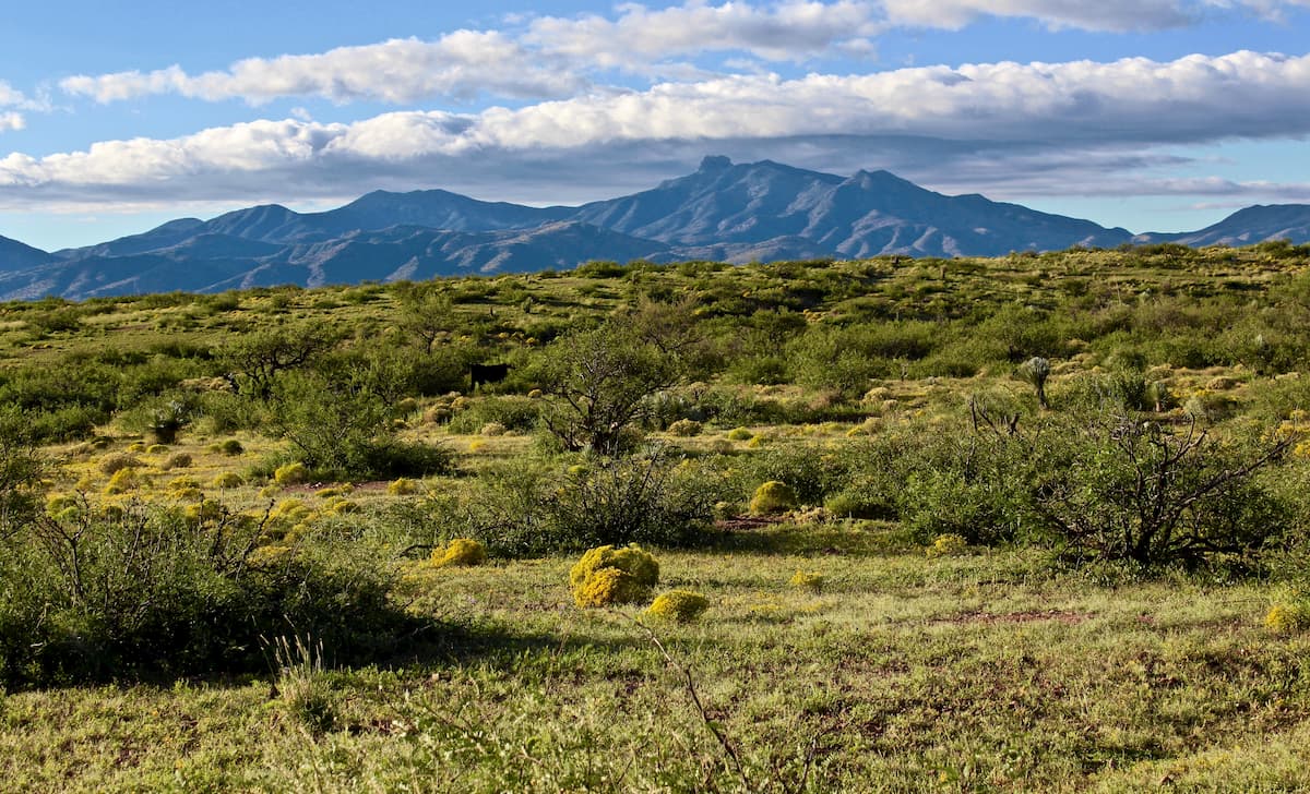
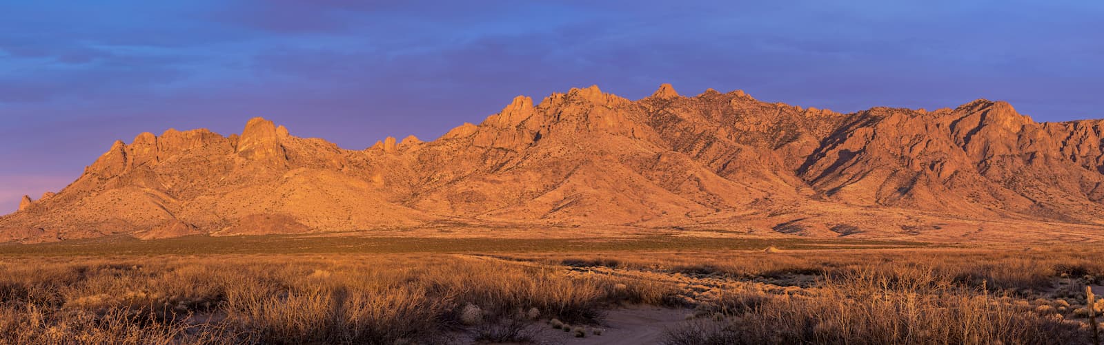
Like the main part of the Great Basin Ranges to the north, the Southwest Basins and Ranges are, for the most part, located within what's known as the basin and Range Province. The Basin and Range Province is an area with a distinct geomorphology, or land features, which is characterized by narrow mountain chains that alternate with flat valleys.
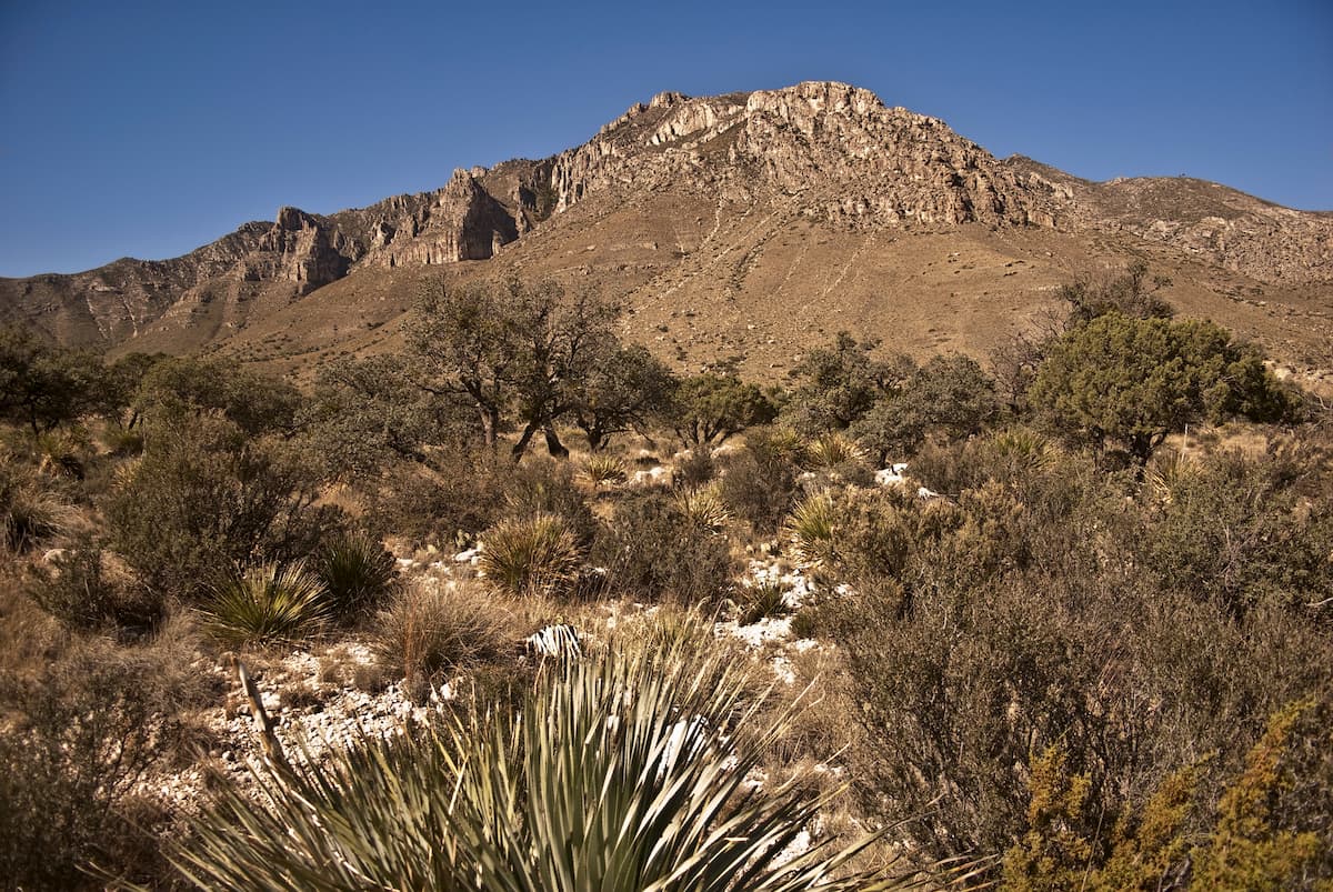
While the geologic history of the region is fairly complex, it mostly started to create its current landforms through a series of tectonic extensions that began during the Early Miocene. However, unlike the Great Basin Ranges to the north, the peaks in the Southwest Basins and Ranges are, for the most part, lower in elevation.
Major peaks within the range include Sierra Blanca Peak, Guadalupe Peak, Lookout Mountain, Whitewater Baldy, Mount Graham, Mount Lemmon, Sandia Crest, and Chiricahua Peak.
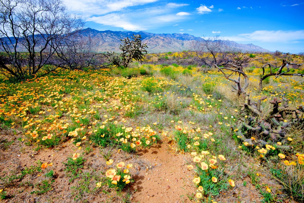
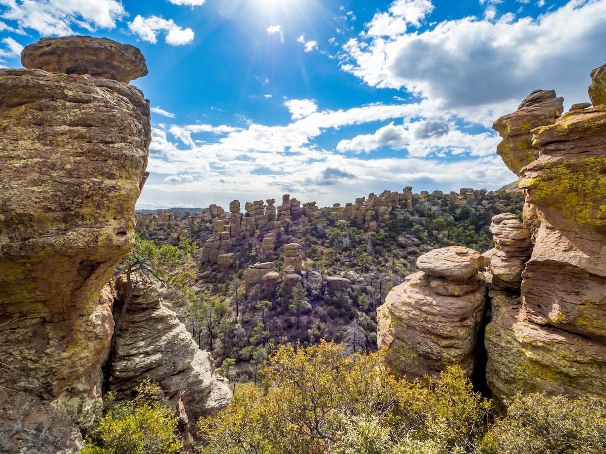
The Southwest Basins and Ranges are predominantly located within 2 massive desert ecoregions: the Chihuahuan Desert (Desierto de Chihuahua) and the Sonoran Desert (Desierto de Sonora). Although both regions are known for their aridity, they have some unique ecological features which make them exciting places to visit.
Located in the westernmost portion of the Southwest Basins and Ranges, the Sonoran Desert covers an area of approximately 100,000 square miles (260,000 sq. km). It is found within parts of the states of California, Arizona, Baja California, and Sonora and it is considered to be the hottest desert in Mexico.
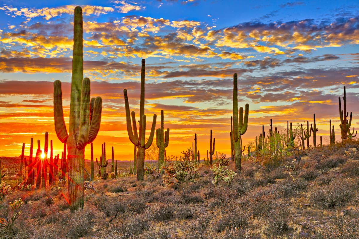
Despite being the hottest desert in Mexico and one of the hottest in the United States, the Sonoran Desert is teeming with flora and fauna that are well adapted to thrive in such a harsh environment. Indeed, it has a biseasonal rainfall pattern, which allows it to sustain a surprising number of plant species.
Plans found within the Sonoran Desert include creosote bush, California fan palm, velvet mesquite, desert willow indigo brush, desert sunflowers, and an abundance of wildflowers. The Sonoran Desert is also the only place on Earth where the giant saguaro cactus grows in the wild. You can also find plenty of other succulent species in the desert, including organ pipe, prickly pear, and cholla.
Wildlife in the desert includes over 300 species of birds and 100 species of reptiles, all of which are well adapted to the region. Interestingly, the desert is also home to a population of jaguars, some of which live to the southeast of Tucson, making them the only known jaguars in the United States.
Encompassing much of the eastern part of the Southwest Basins and Ranges, the Chihuahuan Desert is a massive ecoregion that includes sections of the states of Texas, New Mexico, Arizona, Chihuahua, Coahuila, Nuevo León, Durango, and Zacatecas. In fact, the Chihuahuan Desert includes over 193,000 square miles (501,000 square kilometers) of land, making it the largest desert in North America.
For the most part, the Chihuahuan Desert is located within the rain shadows of the Sierra Madre Occidental, the Sierra Madre Oriental, the Southwest Basins and Ranges, and the California Ranges, which all serve to block precipitation that would otherwise enter the region from the Gulf of Mexico or the Pacific Ocean. That being said, it does experience one slightly rainy season between June and October, during what's known as the North American Monsoon.
Throughout the region, creosote bush is the most dominant plant species. It can thrive in the sandy and gravelly soils which are found throughout the range. Other plants commonly found in the desert include the honey mesquite, ocotillo, and yuccas. There are also substantial areas of grassland found in the region.
As far as animals go, the Chihuahuan Desert is home to a decent array of wildlife. This includes bobcats, mountain lions, mule deer, pronghorn, ring-tailed cat, white-tailed deer, and the continent's largest colony of prairie dogs.
Despite the aridity and extreme temperatures of the region, the Southwest Basins and Ranges have long been home to humans. Indeed, countless nations consider the region to be part of their ancestral homelands, including the Apache, O'odham, Cocopah, Maricopa, Yavapai, Hualapai, Chemehuevi, Mojave, Quechan, Opata, Yoeme, Comca'ac, Yoreme, Guarijío, Jococobas, Sumas, Mansos, and many others.
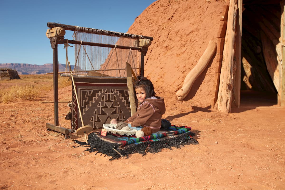
Due to the large area encompassed by the Southwest Basins and Ranges, the history of the area after the arrival of Europeans in the 1600s is fairly complex. Much of the region's largest cities were established as missions and forts by Spanish missionaries and soldiers during the time of the Spanish colonization of the Americas and the creation of New Spain.
Eventually, after the Mexican War of Independence and, subsequently, the Mexican-American War, much of the region was ceded to the United States as part of the Mexican Cession and the Treaty of Guadalupe Hidalgo.
However, a small portion of the range that is now part of the United States in southern Arizona and New Mexico, wasn't acquired by the US until the 1854 Gadsden Purchase, which included some lands to the west of the Rio Grande and to the south of the Gila River.
The international border that runs through the Southwest Basins and Ranges and the long-standing history of Indigenous peoples in the region has led to the development of a very multicultural area within the United States and Mexico. However, outside major cities and towns, the region is fairly sparsely populated due to the ruggedness of the landscape.
The Southwest Basins and Ranges are home to some truly magnificent areas of public land. Here are some of the best hiking areas to check out during your visit to the region.
Situated to the east of Tucson, Saguaro National Park is home to a large collection of giant saguaro cacti, which is endemic to the Sonoran Desert. Within the park, there are 19 named peaks, the highest and most prominent of which is Mica Mountain.
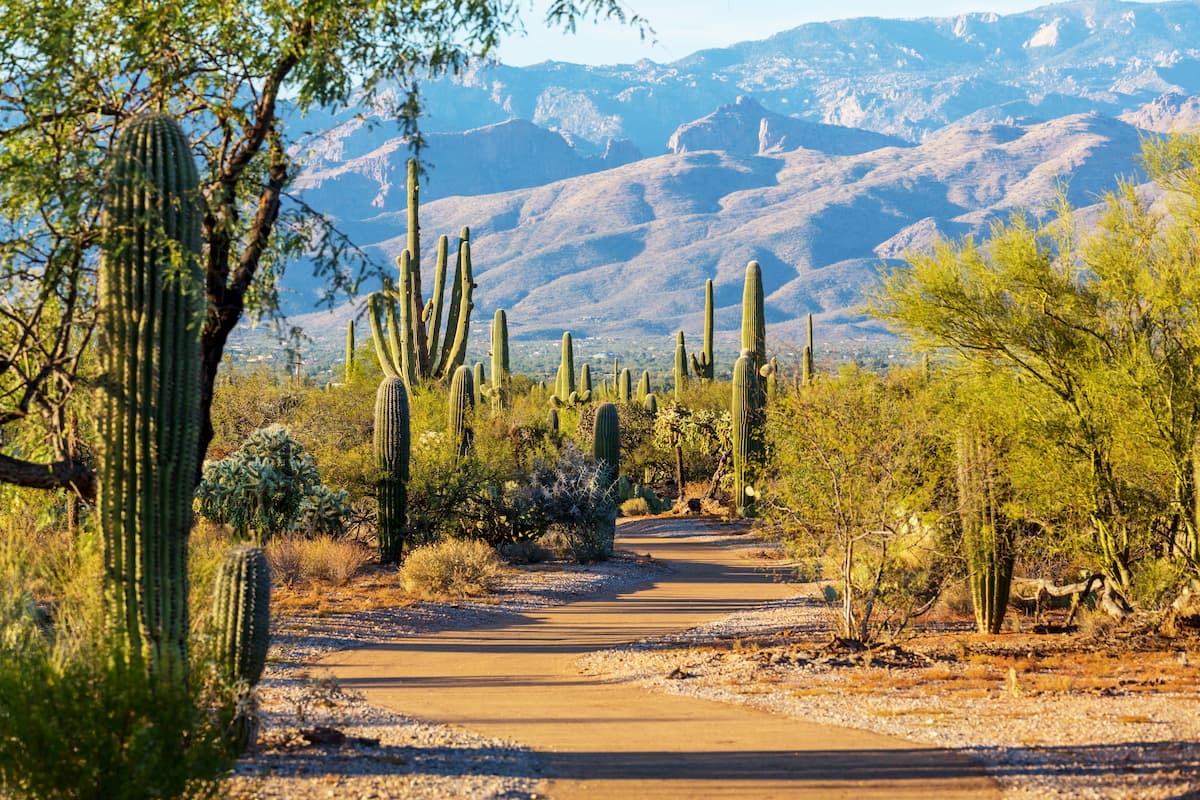
The park is split up into 2 separate ranger districts, both of which offer excellent hiking and outdoor recreation opportunities. There are a handful of noteworthy highpoints in the park, including Spud Rock, Duckbill, Man Head, and Rincon Peak.
Gila National Forest is located on the border between Arizona and New Mexico. It contains 225 named mountains, the highest and most prominent of which is McKnight Mountain.
The forest is the sixth largest in the continental United States and is perhaps best known for the Gila Wilderness, which was the first designated federal wilderness. It is home to some exceptionally rugged terrain and even some hot springs.
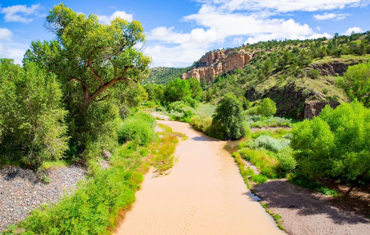
Within the forest, there are quite a few hiking areas, though much of the region is only accessible via off-trail travel. The Gila is also home to an International Dark Sky Sanctuary, which makes it an ideal place to go stargazing.
Known for its sprawling white sand dunes, the aptly named White Sands National Monument is situated in southern New Mexico, near the state's border with Texas. It was actually originally designated as a national monument in 1933, but it was officially re-designated as a national park in 2020.
It encompasses a 275 square mile (710 sq. km) field of sand dunes that are made from gypsum crystals, making it one of the largest such sand dune fields in the world.
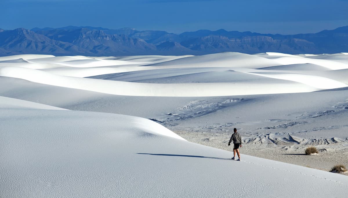
White Sands is among the most heavily visited National Park service sites in the state of New Mexico. There are 5 trails within the park, backcountry campgrounds, and various ranger-led activities for visitors to enjoy.
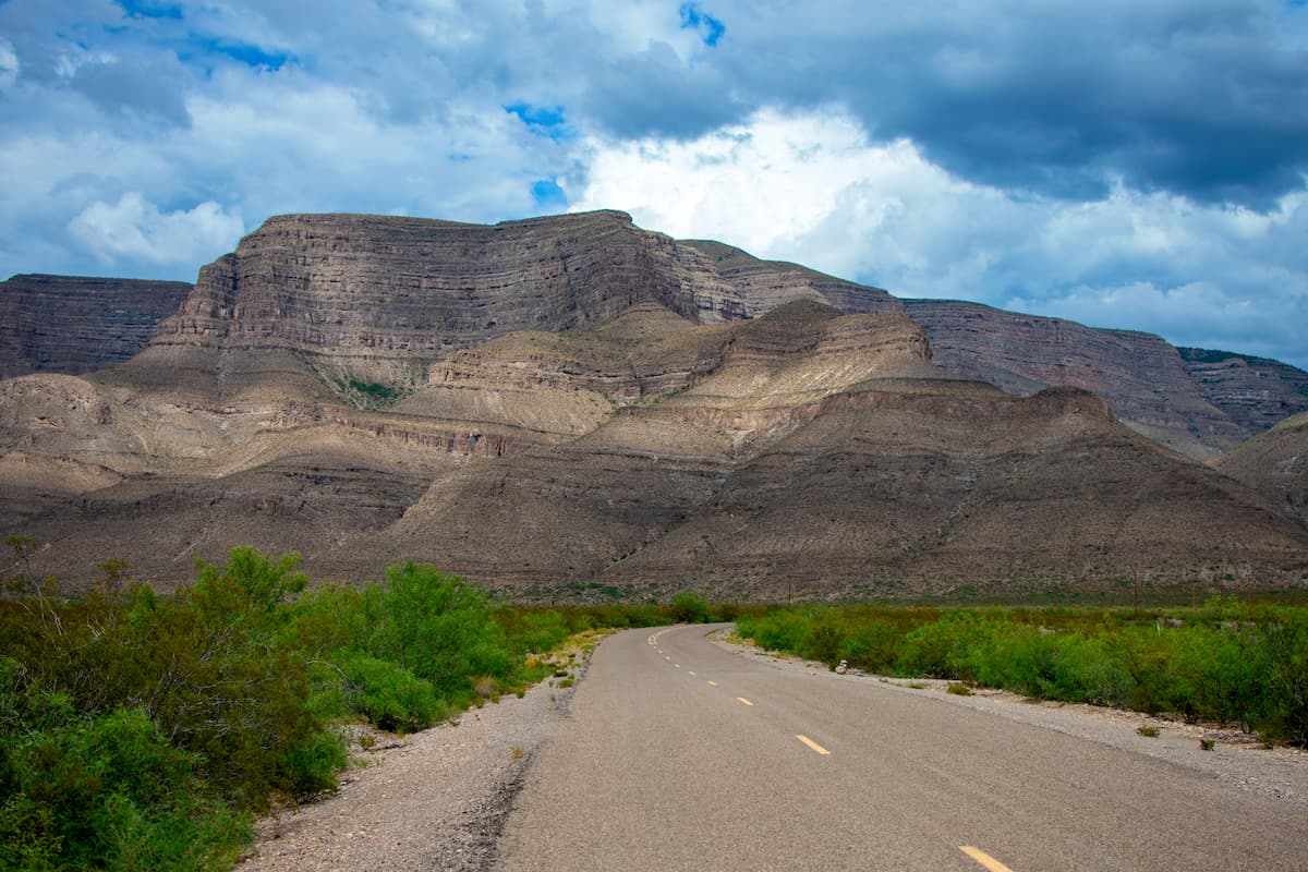
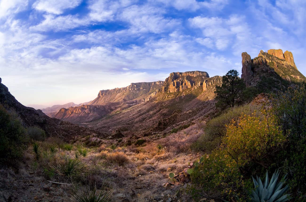
Big Bend National Park is located along the southwestern border of Texas, near the Mexican states of Chihuahua and Coahuila. It is situated around a large bend in the Rio Grande (hence the name) and it contains a few dozen peaks, the highest and most prominent of which is Emory Peak.
The park is a popular tourist attraction and outdoor recreation destination, thanks to its great hiking, paddling, and camping opportunities. The Emory Peak Trail, South Rim Trail, and the Santa Elena Canyon Trail are all popular hiking options.
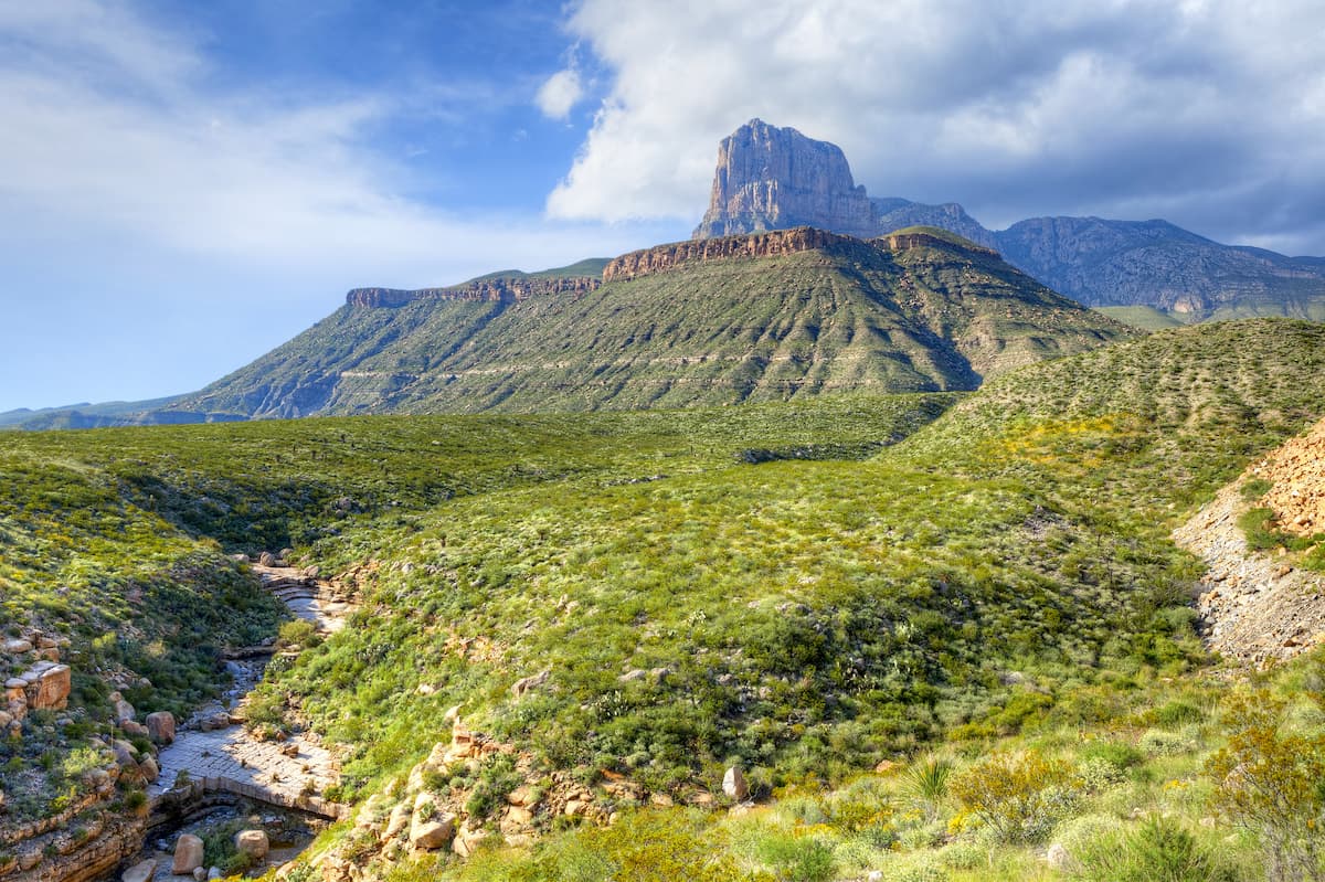
Home to the world's largest Permian fossil reef, Guadalupe Mountains National Park is situated in northwestern Texas, along the state's border with New Mexico. It contains part of the Guadalupe Mountains, as well as the four highest peaks in Texas: Guadalupe Peak, Bush Mountain, Shumard Peak, and Bartlett Peak.
Within the park, there are plenty of great hiking opportunities, thanks to its highly mountainous terrain. Some of the most popular hiking trails include the Guadalupe Peak Trail, the McKittrick Canyon Trail, and the Devil's Hall Trail.
The Southwest Basins and Ranges are located near some of the largest cities in the southwestern part of the United States and northwestern Mexico. Here are some of the best places to stay during your visit:
The second largest city in Arizona, Tucson is home to approximately 520,00 residents. It is located in southern Arizona, near some of the state's most popular outdoor recreation destinations.
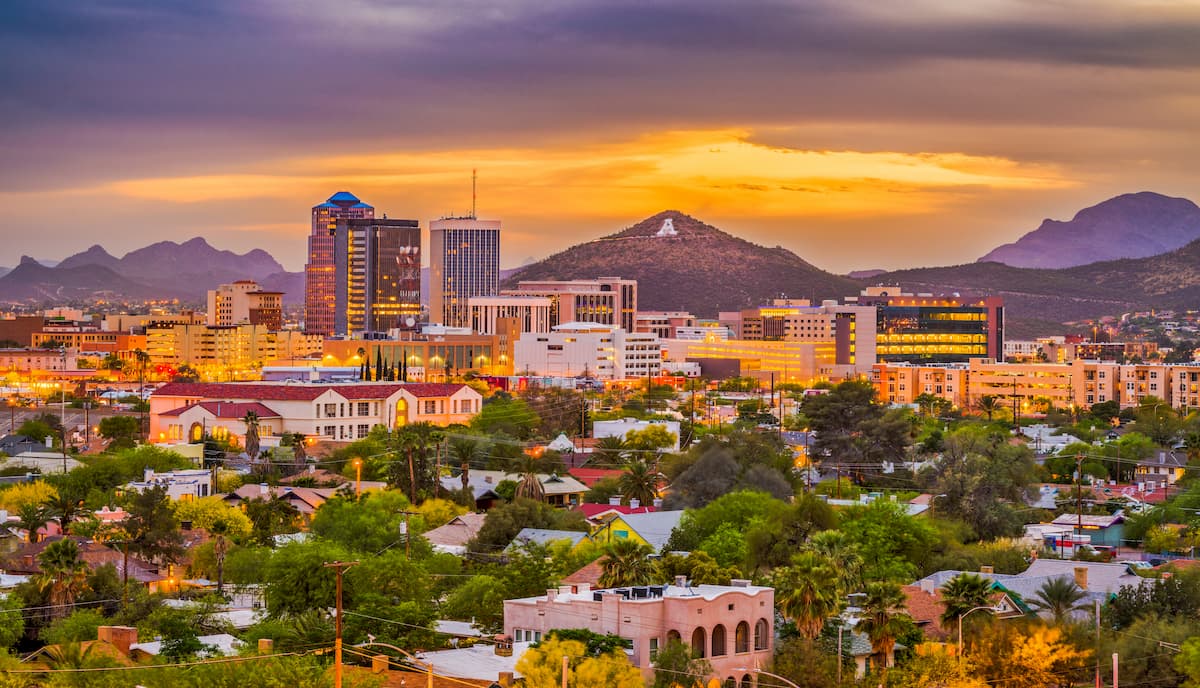
Tucson is easy to get to by road, train, and air. In fact, the city has the second largest airport in Arizona, with non-stop flights around the United States.
El Paso is home to over 680,000 people, which makes it the sixth largest city in Texas. Due to its location in the far western part of the state along Texas' border with Mexico, it is a commercial and cultural hub for the region.
El Paso is also located just across the border from Ciudad Juárez, which is the largest city in Chihuahua. When combined with the city of Las Cruces in New Mexico, these three cities form a large international metropolitan area called the Borderplex, which is home to over 2.5 million people.

The city is accessible via road, train, and air. El Paso International Airport offers flights around the United States and is just a short drive from the international airport in Ciudad Juárez.
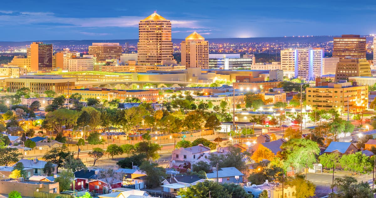
The largest city in the state of New Mexico, Albuquerque is home to over 560,000 residents. It is located near the center of the state, which makes it a good starting point for adventures in the region.
The city is easy to get to by road or by air. It has 2 airports, the larger of which, Albuquerque International Sunport, offers direct flights around the country.
The capital and largest city in the state of Sonora, Hermosillo is the economic hub of northwestern Mexico. It has a population of about 800,000 people and is often ranked as a highly livable city.
Transportation to Hermosillo is possible by road and air. The General Ignacio Pesqueira García International Airport offers flights to Phoenix and to major cities within Mexico. There is also a public transportation system from Hermosillo to other parts of the state.


ultra
arizona-10ers
southern-arizona-hiking-club
southern-arizona-hiking-club-coronado-12
arizona-ultras
ultra
arizona-10ers
southern-arizona-hiking-club
southern-arizona-hiking-club-coronado-12
arizona-ultras
ultra
arizona-fire-lookouts
arizona-20-20-challenge
southern-arizona-hiking-club
southern-arizona-hiking-club-emblem
southern-arizona-hiking-club-coronado-12
arizona-ultras
ultra
arizona-20-20-challenge
southern-arizona-hiking-club
southern-arizona-hiking-club-emblem
southern-arizona-hiking-club-coronado-12
arizona-ultras
ultra
arizona-fire-lookouts
arizona-20-20-challenge
southern-arizona-hiking-club
southern-arizona-hiking-club-emblem
southern-arizona-hiking-club-coronado-12
arizona-ultras
arizona-fire-lookouts
arizona-20-20-challenge
southern-arizona-hiking-club
southern-arizona-hiking-club-emblem
southern-arizona-hiking-club-coronado-12
The highest peak in the Southwest Basins and Ranges is Sierra Blanca Peak, at 3,649 m.
The Southwest Basins and Ranges have 6,396 named peaks.


