
Scan the QR code and open PeakVisor on your phone
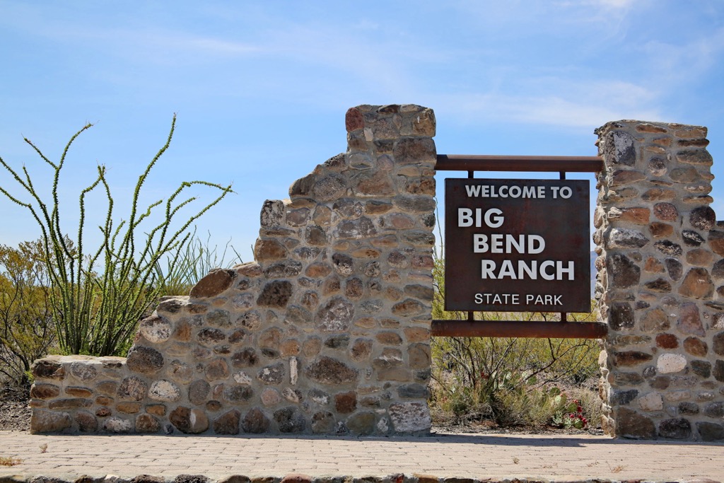
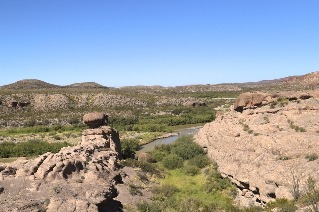
Big Bend Ranch State Park is in west Texas, USA, to the northwest of the neighboring Big Bend National Park. Covering 500 mi2 (1,295 km2) of Chihuahuan Desert and working ranches, the state park runs along part of the Rio Grande and is remote and rugged. It contains 20 named mountains. The tallest is Fresno Peak at 5,131 ft (1,564 m) and the most prominent is La Mota Mountain, measuring in at 5,049 ft (1,539 m) tall with a prominence of 932 ft (284 m).
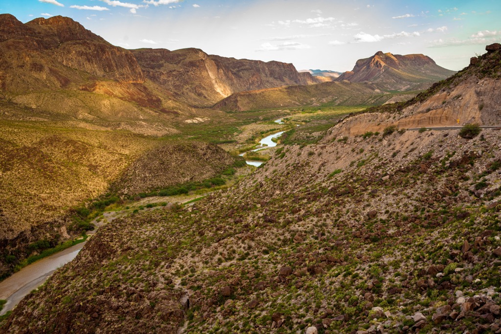
Spanning 300,000 acres (121,405 ha) in west Texas, Big Bend Ranch State Park encompasses 23 mi (37 km) of the Rio Grande, steep canyons, high Chihuahuan Desert and rugged mountains along the US - Mexico border. Elevations range from 2,350 ft to over 5,000 ft (715 m to over 1,525 m). The tallest peaks are Fresno Peak (5,131 ft/1,564 m), Oso Mountain (5,128 ft/1,563 m), La Mota Mountain (5,049 ft/1,539 m), and Bofecillos Peak (4,997 ft/1,523 m).
To the southeast lies Big Bend National Park and to the south, across the border in Mexico, lies Parque Nacional Cañón de Santa Elena. The park is also a dark sky park. Miles from any big city, visitors to this remote patch of nature will be rewarded with unparalleled views of the night sky.
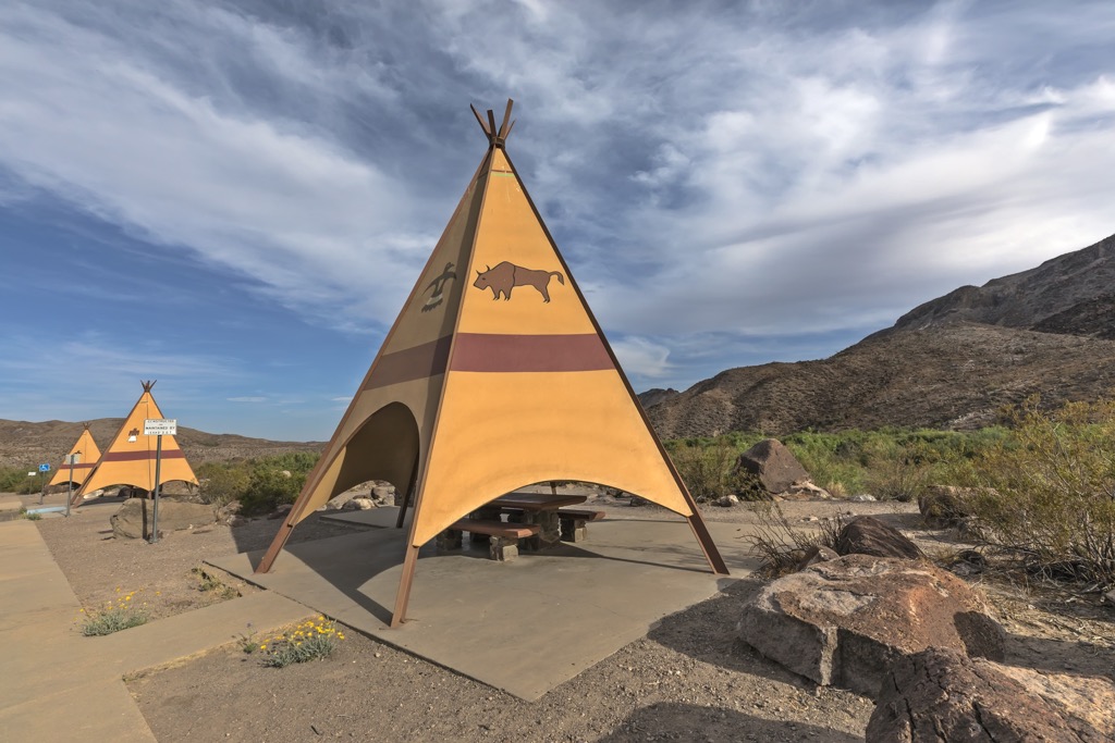
The east entrance offers a two-acre (0.8 hectares) botanical garden in which visitors can go on a self-guided tour to learn more about the flora of the region. Differing from the nearby Big Bend National Park, the state park includes several open range ranching operations.
The park’s geological story begins about 570 million years ago when the area was known as Ouachita Basin and covered by a deep ocean. The ancient Ouachita Mountains formed from immense tectonic plate collisions that uplifted sedimentary rock from the ocean floor. Remnants of this range can be seen in Arkansas, Oklahoma, and west Texas – including The Solitario in the state park.
Following this, a shallow sea spread from the Gulf of Mexico up to Alaska. Erosion and uplift worked together to expose limestone rock from the sea in the Contrabando lowlands. This same process also left behind the “flatirons” that make up the rim of The Solitario.
The Solitario is an iconic feature in the state park. It formed between 36 and 35 million years ago. In three major events, magma swelled to the surface of the earth, creating a bulge about 10 mi (16 m) wide. Erosion and a series of eruptions followed, causing the lava chamber to collapse and leaving behind a pronounced circular basin.
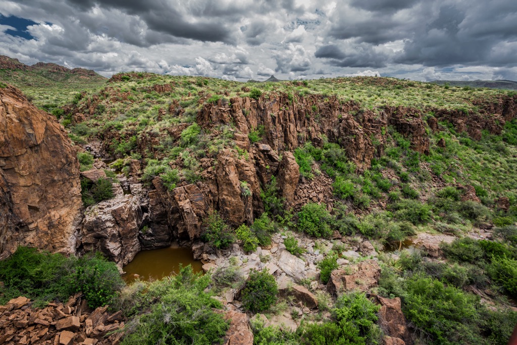
Volcanism continued for a while in the area, appearing in vents and fissures that spewed molten rock and ash. This hardened into the rhyolite and basalt rocks that compose the Bofecillos Mountains. The cracks and fissures that were left behind hold groundwater and are the reason for the dozens of springs in the area. During the 1960s, the Whit-Roy Mine made mercury from cinnabar ore in the area.
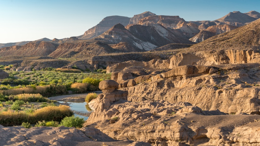
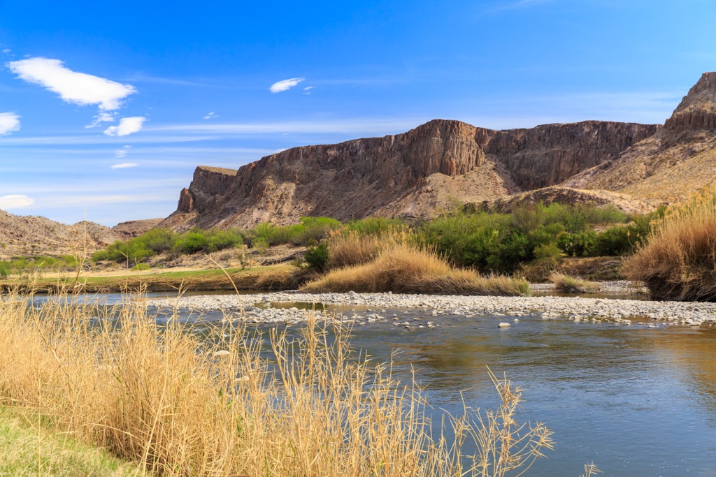
Situated in the northern Chihuahuan Desert, the Rio Grande is a vital water source for life in this harsh environment. In addition to the major river, perennial water sources and dozens of natural springs create pockets of water and life across the landscape.
The contrast of desert to riparian ecosystems results in a wide range of life adapted to live in this area. Mixed in with an abundance of cacti and desert grasses, you will also find green cottonwoods growing along waterways. You can spot everything from the black-throated sparrows finely adapted to the desert to beavers building dams along the river.
More than 300 species of birds are residents or migrate through the region. Migrating birds can be coming from as far away as Argentina or Alaska. Ojito Adentro is a great spot for birding during migrations from March through May and August through October. Check out this resource for a full list of birds in the park.
Other animals that make their homes here include a variety of lizards, javelinas, mule deer, mountain lions, black bears, white-nosed coatis, and numerous species of bats.
Of course, desert plants dominate the vegetation here. Several common species that one may see along hikes in the park include ocotillo, nipple cactus, rainbow cactus, cane cholla, catclaw acacia, creosote bush, guayacan, and lechuguilla – a type of agave historically used for making baskets and sandals, and their points used for sewing needles.
Whitebrush, also known as bee brush, is an important food source for bees and butterflies. Honey mesquite supports over 200 plant and animal species with reproduction and survival. The seed pods are high in protein and sugar.
The park holds evidence that humans have been around for more than 10,000 years. Hundreds of camps, cooking spots, and rock art sites have been discovered. Hunter-gatherers left behind clues to their habits via grinding stones, bedrock mortars, flint tools, and burned rock middens. The area also contains many rock paintings (pictographs) and the occasional rock carving (petroglyphs).
Around 1500, the Tomoacas and Jumano were main tribes in this part of western Texas. By the mid-1700s the Lipan Apache had migrated into the region as well.
A few traders and freighters were the first Anglo-Americans in the area around the mid-1800s. By the 1870s, small family ranches with sheep and goats were popping up, contending with the desertous conditions and periodic severe droughts.
Many ranchers sought to supplement their income, sometimes with wax factories that extracted wax from candelilla plants to be used as waterproofing for World War I tents. There was a brief period of mining for cinnabar ore to make mercury in the 1960s.
In the 1910s, the Bogel brothers began buying up small ranches, ultimately acquiring more than 38,000 acres (15,378 ha). The headquarters of this operation occupy the Sauceda area in the park. After a severe drought, they were forced to sell. The property switched hands several more times over the next few decades, success rising and falling with rain and drought, until it was ultimately sold to Texas Parks and Wildlife Department in 1988.
Big Bend Ranch State Park offers excellent hiking, mountain biking, paddling, horse riding, and ATV opportunities for those who make the trek to this remote part of Texas.
The park contains 238 mi (383 km) of multi use trails and 70 mi (113 km) of unmaintained roads for 4WD vehicles. The Fresno-Sauceda loop trail is considered an “Epic” ride by the International Mountain Biking Association. Make the most of the Rio Grande and Rio Bravo by floating, fishing, and hiking along this refreshing reprieve from the intense desert heat.
The area can experience extreme heat in the summer and it is best to not plan on hiking in the afternoon and to always have sufficient water. Keep an eye on imminent storms as there is a risk for flash floods in canyons. Rattlesnakes are common in the park so be alert while hiking.
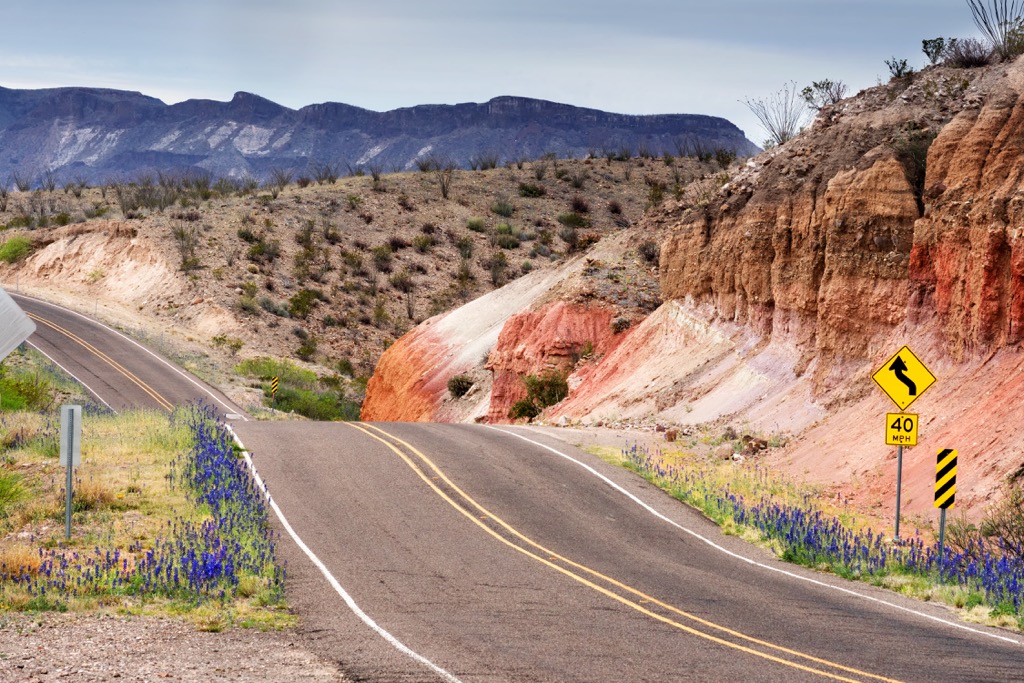
The scenic Camino del Rio is an excellent driving route for those looking to enjoy without being in the elements. Visitors can get permits, maps, information and hunting/fishing licenses at the park’s east entrance near Lajitas or the west entrance near Presidio. Rangers at these stations can also provide the latest conditions for trails and backroads for those looking to make a longer trip into into the park.
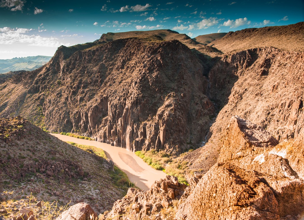
The Closed Canyon trail is 1.4 mi (2.3 km) out and back and gains about 100 ft (30 m) in elevation. It’s a popular canyon walk and the reward of this hike isn’t in the final destination but the journey itself through the canyon!
The La Mota Road trail runs 7.6 mi (12.2 km) out and back with about 300 ft (90 m) of elevation. Going along gravely roads, La Mota offers great views of La Mota mountain, ancient lava flows, and access to some excellent camping spots.
An easy 0.9 mi (1.4 km) loop, the Sauceda Nature trail is a great way to familiarize yourself with the flora of the region. The scenic trail crosses a ridge made of lava, similar to that of the nearby Bofecillos Mountains.
The Hoodoos trail is named for the geologic features by the same name – typically a column of softer and more erodible material, such as mudstone or tuff, that is capped by hardened material. This is a scenic 1.1 mi (1.8 km) loop.
Campsites are spread around the park including drive up sites, primitive sites to hike to, and equestrian accommodations. There is lodging available at the Sauceda Bunkhouse. As this park is quite remote, there is a small runway and airport located within the park.
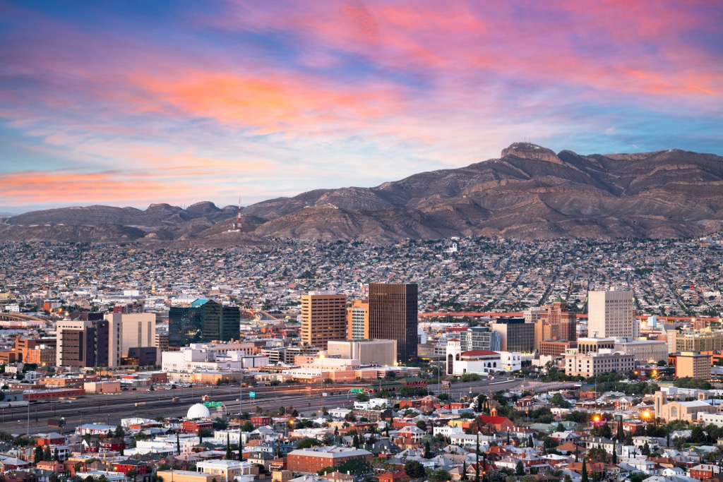
A five hour drive to the northwest, El Paso has a population of 680,000 people and lies on the border, directly across from Ciudad Juárez in Mexico. To get outside here, you have options to explore the Chihuahuan Desert, visit Franklin Mountains State Park and the Aztec Caves, or explore ancient pictographs at Hueco Tanks State Park and Historic Site less than 40 mi (64 km) away.
In the city, 13 mi (21 km) of the Riverpark Trail System runs along the Rio Grande. Visitors can also stop by the El Paso Museum of Art, vineyards for wine tastings, and look at the events calendar for upcoming music festivals.
Given its proximity to Mexico, the city is packed with Mexican eateries, as well as BBQ joints and a few other options. Accommodation can be budget motels, standard hotels, or historic hotels in beautiful old buildings.
Odessa lies 5 hours by car to the northeast and has a population of 122,000. If you’ve got time in the city, visit the local art museum or historic homes. There are several theaters in town and a Stonehenge Replica. As vast as Texas is, outdoor opportunities are a bit of a drive from the city. It is about 150 mi (240 km) to get to the Davis Mountains and the McDonald Observatory, and 180 mi (290 km) to Big Bend State Park.
The city has a variety of restaurants and cuisines including American, Asian, Mexican, BBQ, pizza, delis, and cafes. There is a selection of hotels and motels to choose from for lodging.


