Scan the QR code and open PeakVisor on your phone
Texas, also known as the Lone Star State, is the second-largest state in the United States in terms of both population and area. Located in the southernmost part of the central US, Texas is known for barbecue, hot weather, live music, American football, ranching, and a deep-rooted feeling of Texas pride.
Texas is home to 2164 named mountains, peaks, and hills. Guadalupe Peak (8,757ft / 2,669m) is the highest, while Emory Peak (7,785ft / 2,373m) is the most prominent.
Texas is situated in the south-central part of the United States. It borders four other states, including Louisiana and Arkansas to the east, Oklahoma to the north, and New Mexico to the west.
Moreover, Texas forms a significant portion of the United States’ land border with Mexico. It borders the states of Nuevo León, Coahuila, Tamaulipas, and Chihuahua in Mexico to the south and west, as well as the Gulf of Mexico to the southeast.
With an area of 268,569 square miles (695,662 sq. km), Texas is the second largest state in the US, after Alaska, taking up about 7% of the country’s entire land area. It is also the second largest state by population, with its 28.9 million residents second only to the 39.5 million inhabitants of California.
Texas, as a result of its size, is incredibly geographically diverse. It can be divided into various regions, each dominated by unique terrain. According to the Texas Almanac, the state has four major physical regions, namely:
In many respects, Texas can be considered part of the “Deep South,” particularly in East Texas. However, Far West Texas is often considered part of the Interior Southwest while the Texas Panhandle, in many ways, is more similar to the Midwest than the South.
Indeed, traveling from east to west through Texas, the landscape changes drastically from forests and swamps to plains, hills, deserts, and mountains. The state's geographic diversity has also led to the informal creation of several different economic and cultural regions, each of which is inextricably linked to the landscape.
Texas covers a huge swath of land, so it’s not surprising that the state’s geology is complex and diverse.
A dominant feature of Texas is its fault lines. The state is bisected by several faults, which separate a series of different geological subregions.
In the south and east, the surface rock is mostly sandstones and shales underlaid by large salt domes containing significant amounts of oil. To the north and west, there are primarily shales and limestones. The limestones in Texas’ Hill Country contain the Edwards Aquifer, which supplies drinking water to some 2 million people.
Toward the center of the state, there is a large dome of ancient gneisses, granites, and schists surrounded by a large outcropping of sedimentary rock. Perhaps the most famous part of this dome is the Enchanted Rock near Llano, Texas.
The westernmost part of the state arguably has the most complex geologic history. It features a series of rock layers as well as a number of volcanic deposits and fault lines.
Moreover, the Southern Basin and Range is located in the western part of Texas. The Southern Basin and Range is a subsection of the larger Basin and Range Province, which extends throughout Nevada, Oregon, Idaho, Utah, Arizona, Texas, and northwestern Mexico.
Within Texas, the Southwest Basin and Range region is characterized by hot temperatures and desert vegetation. Much of the bedrock in these regions is igneous in origin, which was later stretched and faulted to form the mountains that we see today.
Due to its size, Texas contains several different climate zones. In the east, it has more of an oceanic (Köppen: Cfb) and humid subtropical climate (Cfa). This transitions into a hot semi-arid (BSh) and cold semi-arid climate (BSk) in the Panhandle and the southern interior part of the state before becoming a hot desert (BWh) along Texas’ border with Mexico.
Texas has three major climate types: Continental, Mountain, and Modified Marine. Modified Marine is found in most of the state and brings warm weather and a decent amount of rainfall.
Mountain climate is found predominantly in the more mountainous regions of the state, especially around the Guadalupe Mountains. Alternatively, the furthest interior sections of the state get a Continental climate, which is dominated by hot summer temperatures and relatively cold winter conditions.
This diversity of climate zones means that Texas has 11 ecological regions, with several different soil regions and ecosystems. While southeast Texas often gets upwards of 64” (160cm) per year of rain, the western part of the state gets just 8.7” (22cm).
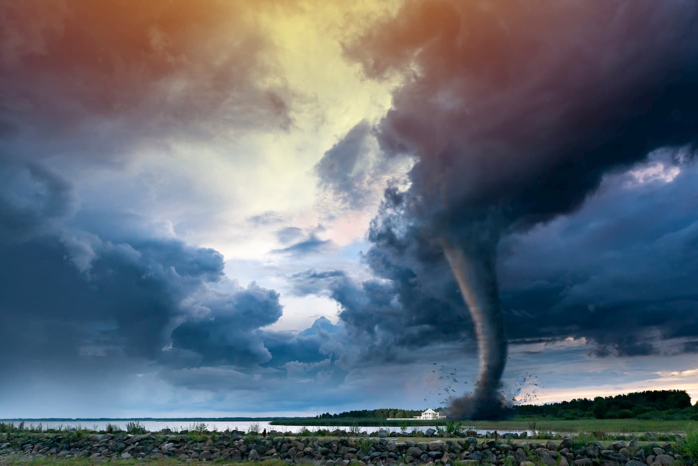
Texas is frequently hit by thunderstorms and tornadoes, particularly in the northern parts of the state. The East is often hit by hurricanes, some of which, including Hurricane Harvey in 2017 have been particularly devastating.
Depending on where you are in the state, wildlife is abundant in Texas’ many biomes. The state has three official mammals: the nine-banded armadillo, the Mexican free-tailed bat, and the Texas longhorn. It is also home to a number of carnivores, such as black bears, foxes, coyotes, mountain lions, ocelots, and bobcats.
In addition to mammals, Texas contains over 200 species of reptiles and amphibians. It is also home to over 590 native bird species, making it the state with the country’s greatest bird diversity.
The region that is now Texas has a long and storied history that goes back thousands of years. Before the arrival of the Europeans, Texas was home to a large number of native peoples. These groups include the Apache, Bidai, Comanche, Coushatta, Jumano, Kickapoo, Tonkawa, Alabama, Atakapan, Caddo, Choctaw, Hasinai, Karankawa, Kiowa, and Wichita, among countless others.
Upon the arrival of Europeans, the region that would later become Texas was controlled predominantly by Spain until the Wars of Mexican Independence and, soon afterward, the Texas Revolution. At that time, the US became involved in Texan affairs, leading to the formation of the Republic of Texas and later its annexation as a state in 1845.
Since Texas' admittance to the union, its population has grown substantially, drawing millions to its major cities. The state’s economy is driven by its abundance of natural resources, particularly oil, mineral mining, and agriculture. These days, Texas is also becoming a large center for technology, commerce, aeronautics, and education.
Texas is also home to many outdoor recreation areas, which draw visitors from around the country to experience the state’s unique outdoor opportunities. The state has two national parks and several historic sites, monuments, forests, and seashores for outdoor enthusiasts to enjoy.
Texas is home to vast public lands for outdoor recreationists to enjoy. Here are some of the best places to check out on your next trip to the Lone Star State.
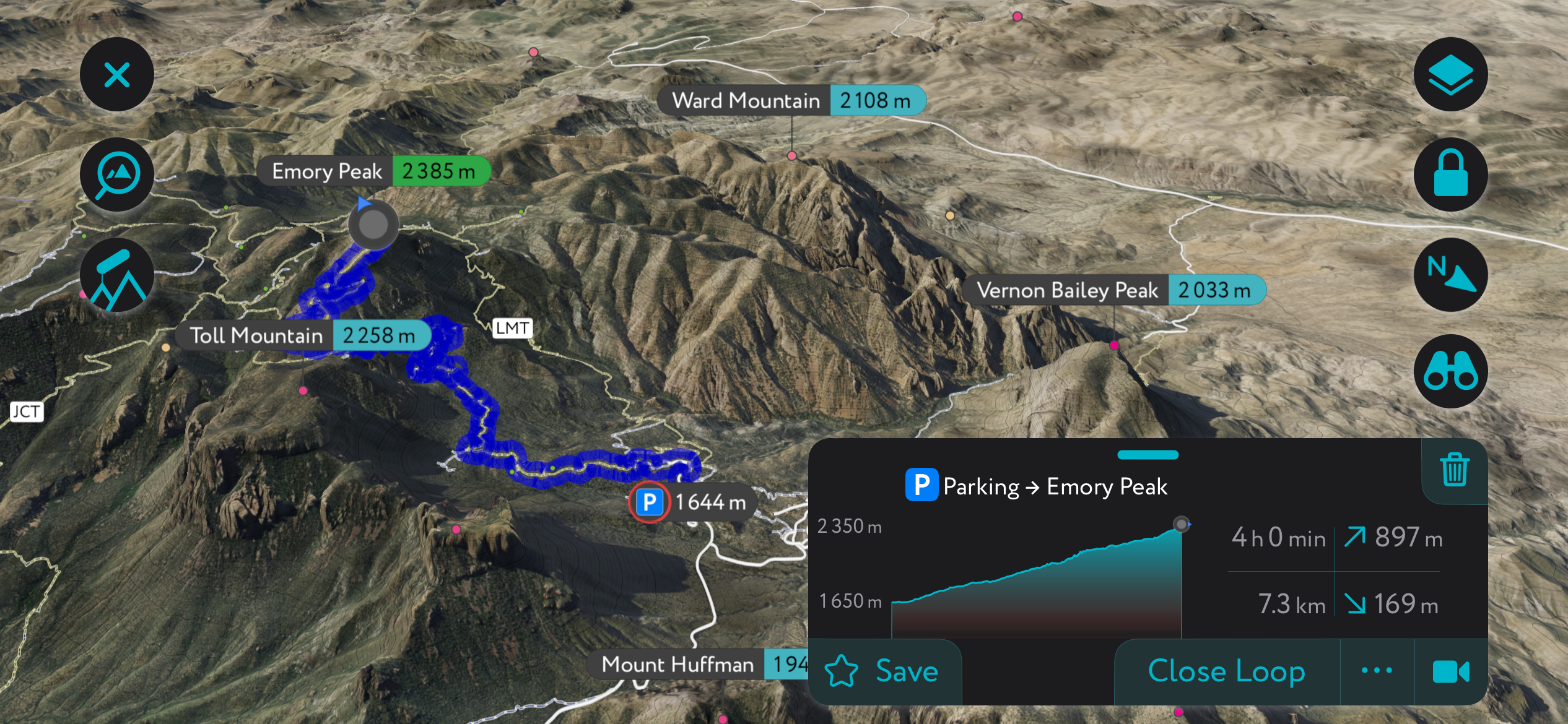
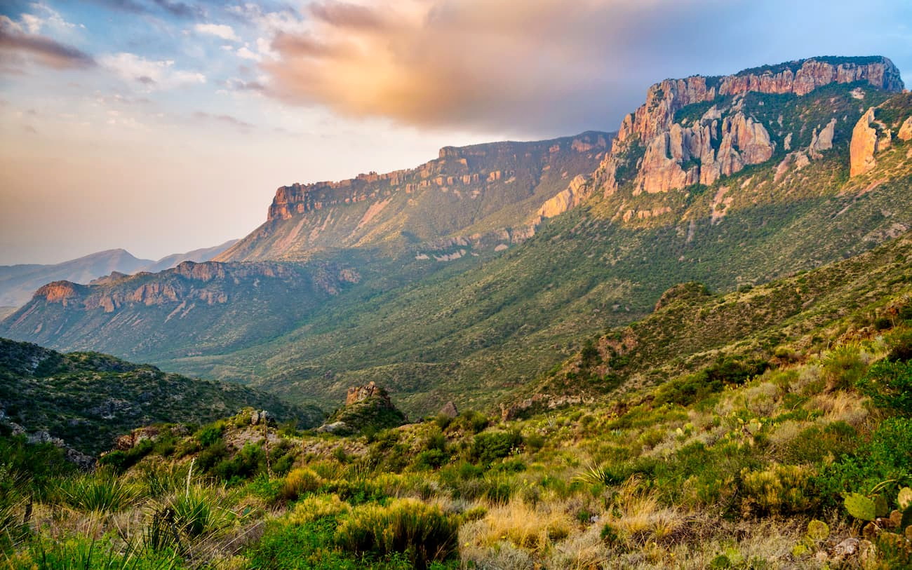
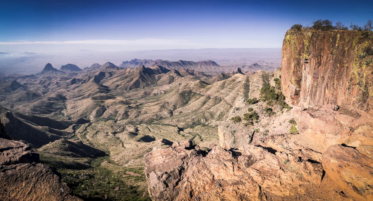
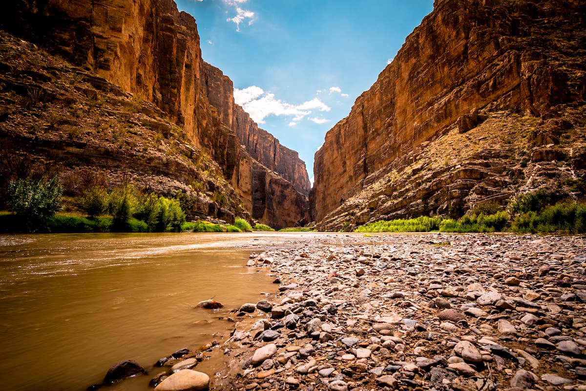
Situated along the Texas/Mexico border, Big Bend National Park is one of the crown jewels of Texas’ public lands. The park contains 58 named peaks, the highest and most prominent of which is Emory Peak (7,785ft/2,373m).
Big Bend was established in 1935 to protect the part of the Chihuahuan Desert that extends into the United States. It is located along a significant bend in the Rio Grande. To the south, it is bordered by Parque Nacional Canon de Santa Elena and Maderas del Carmen, two of Mexico’s federally protected natural areas.
The park also contains the Chisos Mountains, including some high summits like Emory Peak, Lost Mine Peak, Toll Peak, Casa Grande Peak, and Crown Mountain.
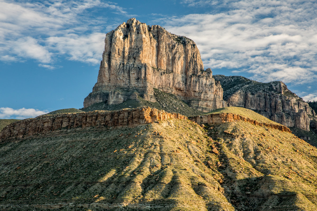
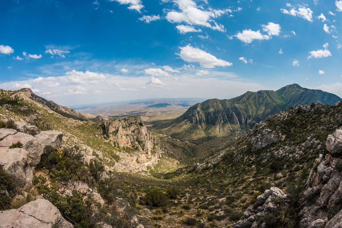
Guadalupe Mountains National Park is located along Texas’s border with New Mexico. It was established to protect the world’s largest Permian fossil relief and contains parts of the Guadalupe Mountains, a subsection of the Sacramento Mountains.
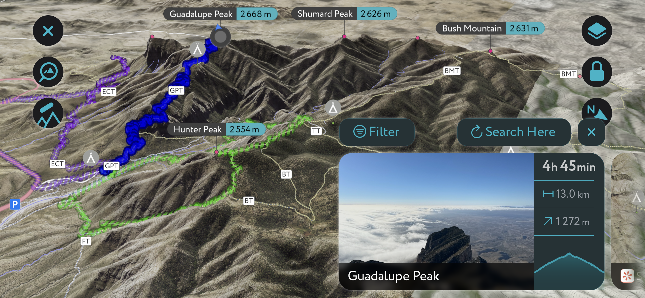
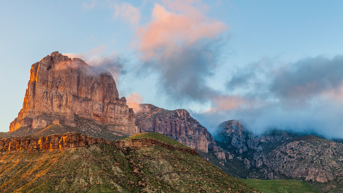
The park contains 11 named peaks, the highest and most prominent of which is Guadalupe Peak (8,757ft/2,669m), which also happens to be Texas’ high point. Guadalupe Mountains National Park is known for its iconic rock formations, such as El Capitan (different from California’s El Capitan), and its high mountains, which include Bush Mountain, Shumard Peak, and Barlette Peak.
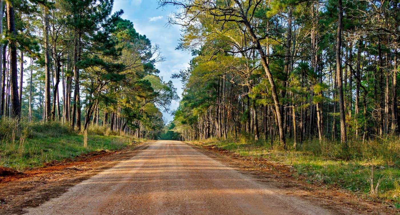
Angelina National Forest is a small forest in eastern Texas, near the state’s border with Louisiana. It contains one named mountain, Turkey Hill (292ft/89m).
The national forest is located within the basin of the Neches River and is dominated by longleaf pine forests. It also contains hundreds of species of wildlife, some of the most common of which are wild turkeys, white-tailed deer, and bobwhite quail. Additionally, the endangered red-cockaded woodpecker is found in Angelina National Forest.
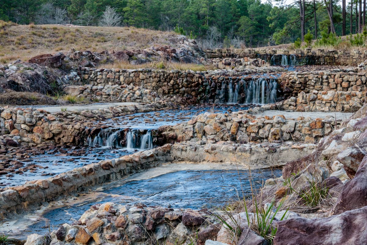
Sam Houston National Forest is situated north of Houston and is home to one named high point, Blue Bonnet Hill (325ft/99m).
The forest was designated to protect the region’s woodlands and wildlife. White-tailed deer and bald eagles are found throughout the forest, which is a popular camping, fishing, hunting, and boating location for people in the greater Houston area.
The Lone Star Hiking Trail, which covers some 128 miles (206km), also crosses through the Sam Houston National Forest. It is a popular hike in the winter and spring, but hikers should wear highly visible clothing during deer hunting season.
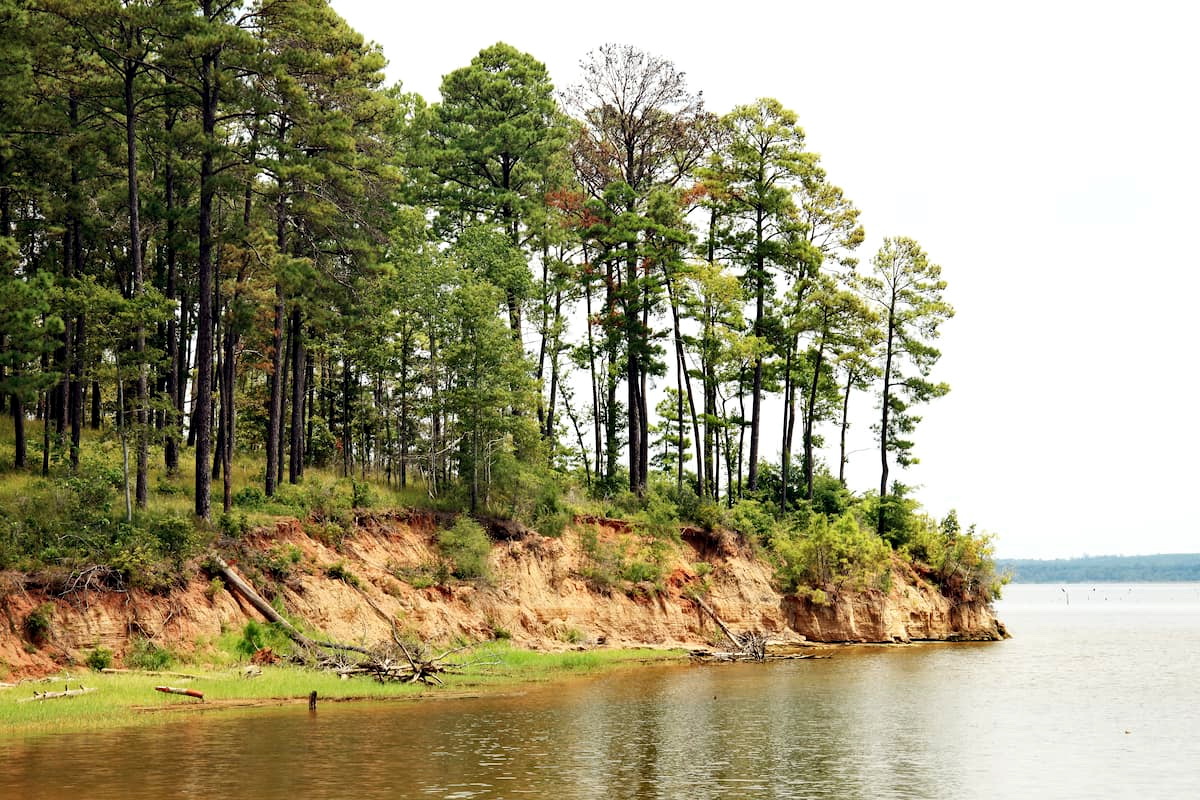
Sabine National Forest is located along the Texas/Louisiana border. It contains 13 named mountains, the highest of which is Forse Mountain (574ft / 175m), and the most prominent of which is Big Hill (564ft / 172m).
The forest is known for its large concentration of hardwood trees, particularly American beech. It also contains large stands of longleaf pine, shortleaf pine, Florida maple, sweetgum, southern red oak, loblolly pine, and white oak.
Sabine National Forest is a popular destination for local campers and hikers. It also contains a small wilderness area, the Indian Mounds Wilderness.
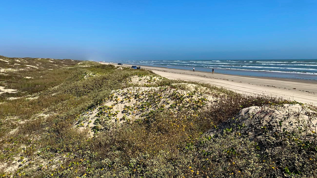
Padre Island National Seashore is located in eastern Texas along the state’s Gulf Coast. It is situated on North Padre Island, a barrier island near Corpus Christi. Surprisingly, the seashore contains five named high points, the tallest of which is Green Hill (13ft / 4m).
The seashore is unique because it is located on the longest undeveloped barrier island in the world, with a length of 70 miles (110km). This puts it in direct contrast with the nearby South Padre Island, which is a popular resort getaway location.
Visitors to the seashore can camp on the beach and experience the region’s exceptional wildlife, including Kemp’s ridley sea turtles, which nest on the island. Padre Island is also located along the Central Flyway, one of North America’s major migratory bird routes, making it one of the most important bird areas on the continent.
As the second most populous state in the US, Texas has its fair share of major cities. Here are some of the best ones to check out:
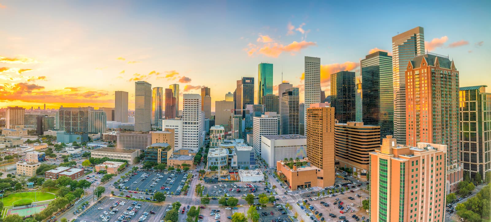
Houston is the largest city in Texas and the fourth largest in the country with a population of 2.3 million. It covers a massive area of over 630 square miles (1,650 sq. km) and is located in eastern Texas near the Gulf of Mexico.
The city is easy to reach by road and train and has several Amtrak lines. Additionally, Houston has a major international airport, George Bush Intercontinental, which offers global connections.
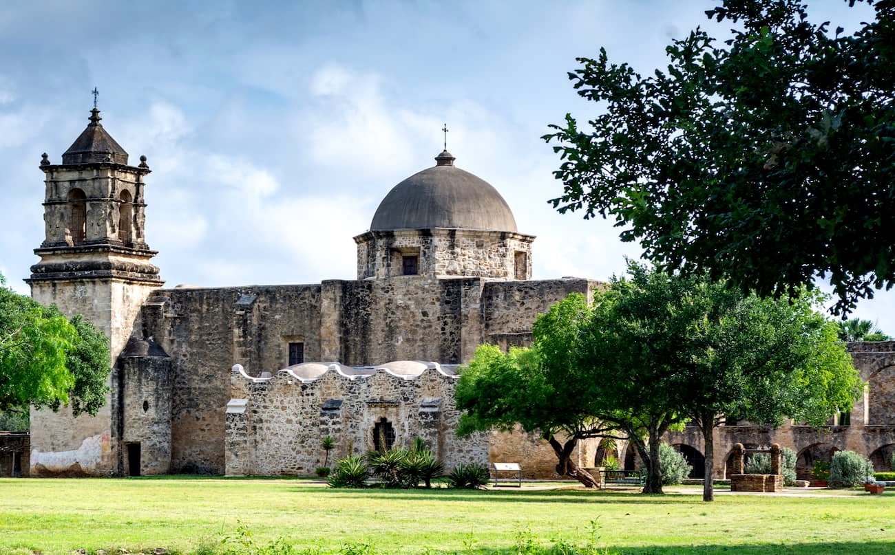
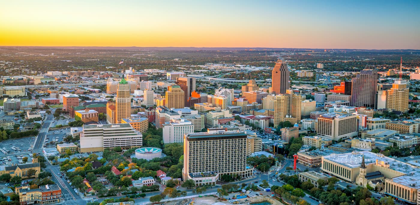
San Antonio is the second-largest city in Texas and the seventh-largest in the United States, with 1.5 million residents. It is located 75 miles (121km) north of Austin and 190 miles (310km) west of Houston in eastern Texas.
San Antonio is rapidly growing, thanks to its commerce and aerospace industries. It is also home to many military installations, including several Air Force bases. The city is well connected by road and train, and it has an international airport with connections throughout North America.
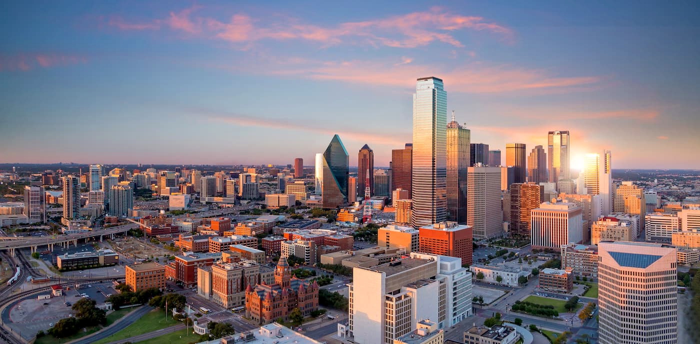
Dallas is located in northeastern Texas and is the third-largest city in the state, with 1.3 million people. The Dallas-Fort Worth metroplex is also the fourth-largest metropolitan region in the United States with a combined population of around 7.5 million.
Dallas’ economy is centered around defense, information technology, transportation, oil, and finance. The city’s international airport (Dallas/Fort Worth) is the third busiest in the world by aircraft movement.
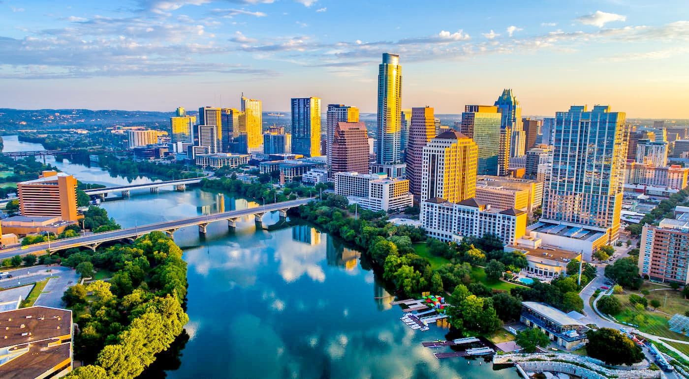
Austin is the capital of Texas. With a population of just under 1 million, it is the fourth-largest city in the state and one of the fastest-growing parts of the country.
Austin is known for being a diverse city with great live music, food, and eccentricity. It is a popular location for large tech companies, including Amazon, Apple, Intel, IBM, and Google, which all have regional offices in the city.
Like most major cities in Texas, Austin has an international airport as well as solid bus, train, and road connections around the state.
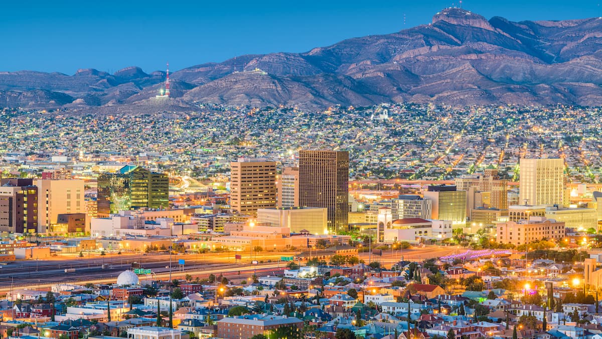
Unlike Texas’ other major cities, El Paso is located in the far western part of the state. Texas's sixth-largest city has a population of over 680,000 people. It is located along the US/Mexico border across the Rio Grande from Ciudad Juárez, the largest city in Chihuahua.
The city is home to many companies, the University of Texas at El Paso, and a handful of military installations. Although it is geographically isolated from the other major cities in the state, El Paso is well connected by road, train, and air.