Scan the QR code and open PeakVisor on your phone
Affectionately known as the Bayou State, Louisiana is a state located in the Deep South of the United States. Famous for its festivals, music, food, culture, and love of sports, the state of Louisiana isn’t particularly mountainous, though it does have 105 named high points, the highest and most prominent of which is Driskill Mountain (531ft/162m).
The state of Louisiana is located in the southeastern United States along the country’s Gulf Coast. Louisiana shares a border with 3 other states: Texas to the west, Arkansas to the north, and Mississippi to the east.
With a total area of 52,069.13 square miles (135,382 sq. km), of which 8,283 square miles (21,455 sq. km) is water, Louisiana is the 31st largest state in the Union by area. However, it is the 25th largest and 24th state by population and 24th most population dense.
Louisiana is one of the lowest-lying states in the Union, with an average elevation of about 100 feet (30m). Indeed, its lowest elevation is -8 feet (-2.5m). Although Louisiana’s lowest elevation is not nearly as low as Death Valley in California, it has posed some problems in the past for the city of New Orleans when it comes to flooding during major storms.
At the same time, Louisiana has the third shortest high point of any state, Driskill Mountain, which just slightly edges out Ebright Azimuth in Delaware and Britton Hill in Florida. However, both Fort Reno in Washington, D.C., and a small unnamed point on Navassa Island in the US Minor Outlying Islands are also substantially lower than Driskill Mountain.
Geographically, Louisiana is also particularly interesting because it is one of just 2 states in the US that don’t have counties. Rather, Louisiana has parishes (which are basically counties). The other state that doesn’t use counties is Alaska, which uses the term “borough” for its administrative subdivisions.
Louisiana can be broken down into a number of different regions based on geology, culture, politics, or the like, though most people agree on 5 basic cultural regions: Sportsman’s Paradise, Cajun Country, Plantation Country, Crossroads, and Greater New Orleans.
Sportsman’s Paradise generally refers to the northernmost portion of the state of Louisiana. This part of the state is home to the southernmost extent of the Ozark Highlands, which mostly exists within Oklahoma, Missouri, Arkansas, and Kansas to the north.
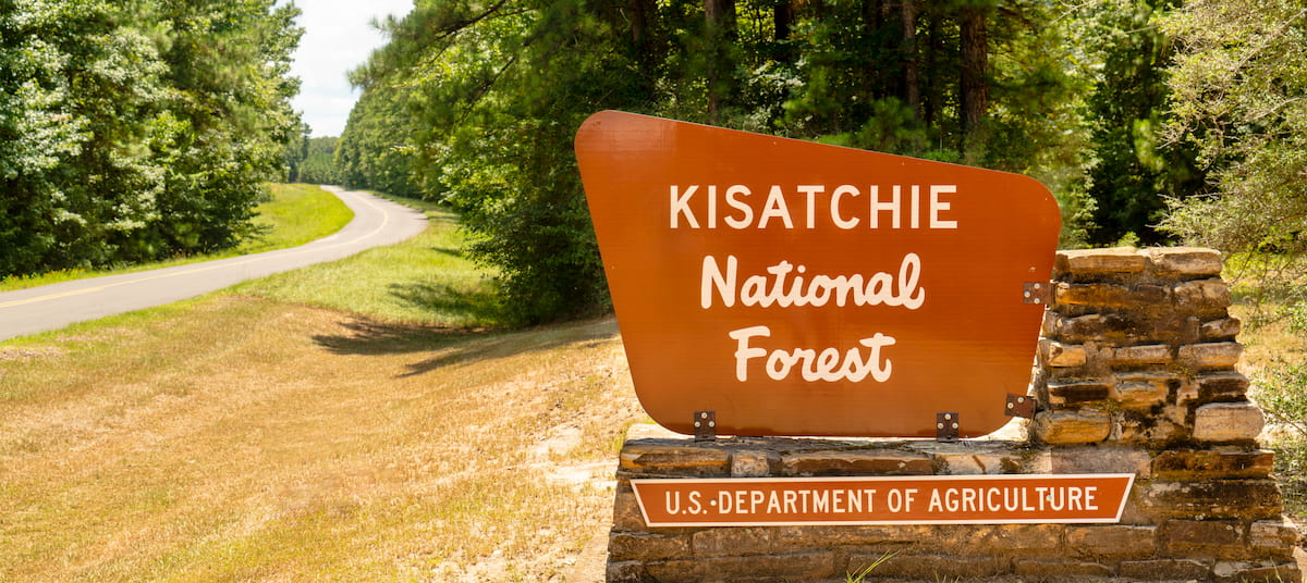
As the name suggests, the northern part of Louisiana is particularly popular among sportsmen as its rivers and lakes are fish with fish species, which makes it a great destination for anglers. Moreover, the Sportsman’s Paradise region is home to 2 major areas of public land: Kisatchie National Forest and Red River National Wildlife Refuge.
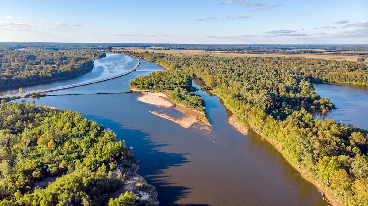
Louisiana’s Crossroads region covers much of the central part of this boot-shaped state, just to the south of Sportsman’s Paradise and to the north of Cajun Country. Here, you can find some large sections of the Kisatchie National Forest.
Also aptly named, the Crossroads Region is a melting pot of cultures. It is also the location of the confluence of the Red River and the Mississippi River, so it has long been a center of trade, commerce, and travel in the region.
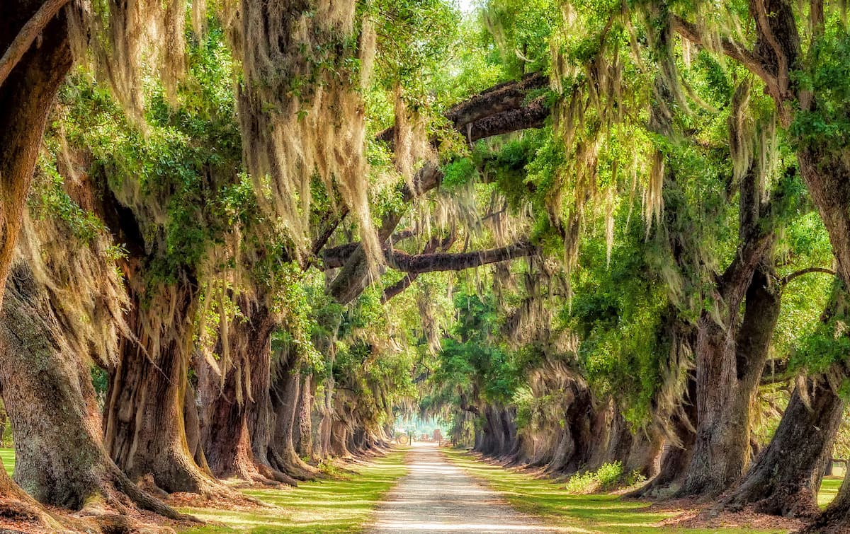
Cajun Country or Acadiana (French: L'Acadiane) covers much of the southwestern corner of Louisiana. This region was the historic center of French Louisiana after the arrival of Europeans in North America.
It was also a destination for 18th century exiles from Canada’s Maritime Provinces in the 18th century. During this time, Acadian peoples from what are now Prince Edward Island, New Brunswick, and Nova Scotia were forcibly removed from the Maritimes after the French and Indian War and sent to various locations, including to Britain, France, and what is now the state Louisiana.
These days, Cajun Country is known for its rich cultural heritage, great music, and unique cuisine. It is home to a number of different wildlife protection areas, including:
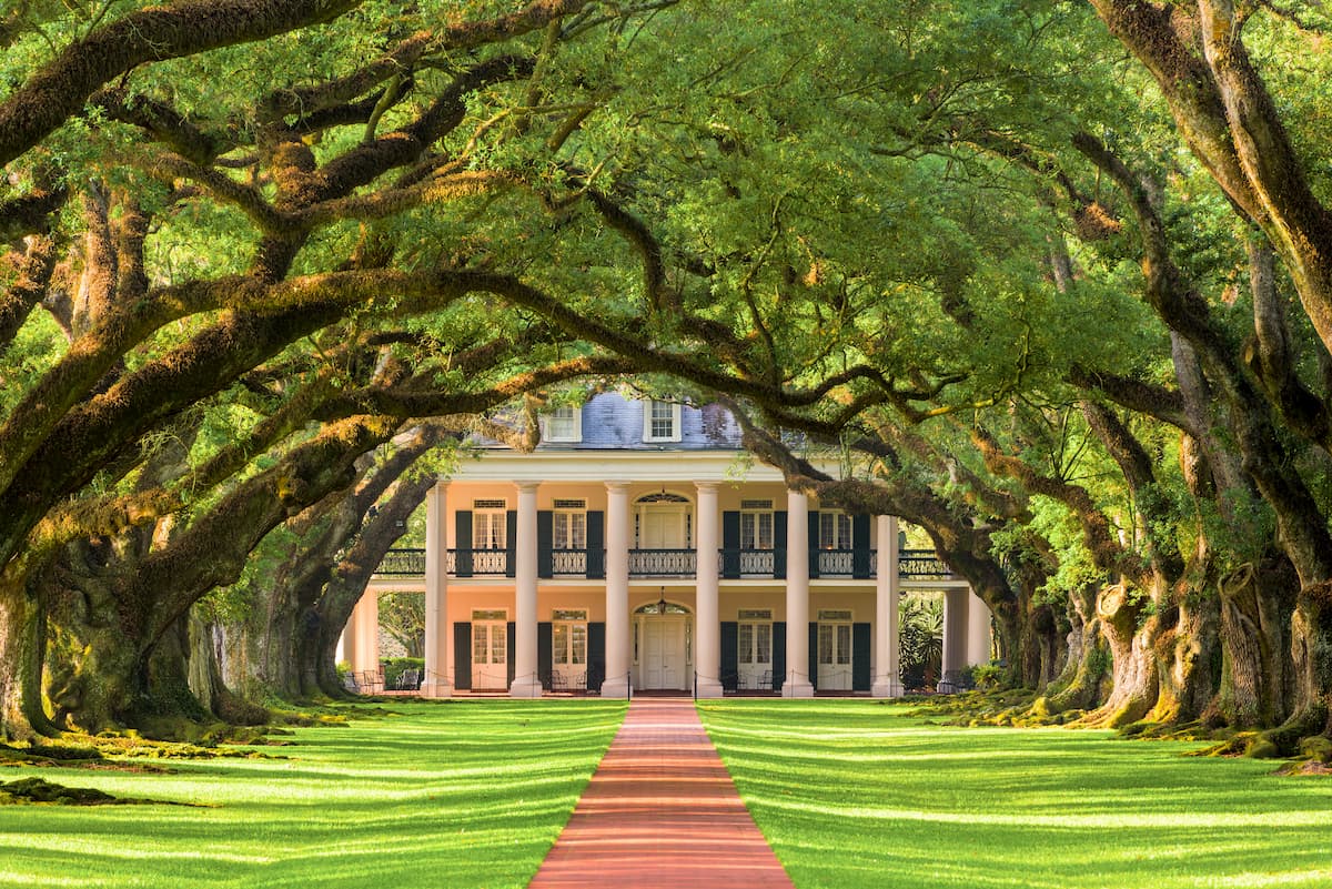
Plantation Country is situated in the eastern part of Louisiana, just south of the state’s border with Mississippi. The Mississippi River flows through Plantation Country, which, as the name suggests, was the site of many very large plantations which had thousands of slaves prior to the Civil War.
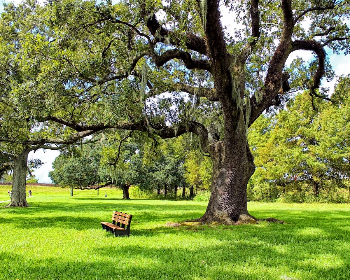
Louisiana’s capital, Baton Rouge, is located within Plantation Country and it is home to the flagship campus of Louisiana State University. Visitors to Louisiana’s Plantation Country can check out the Atchafalaya National Wildlife Refuge or some of the old, well-preserved plantations, to learn more about the region’s tumultuous past.
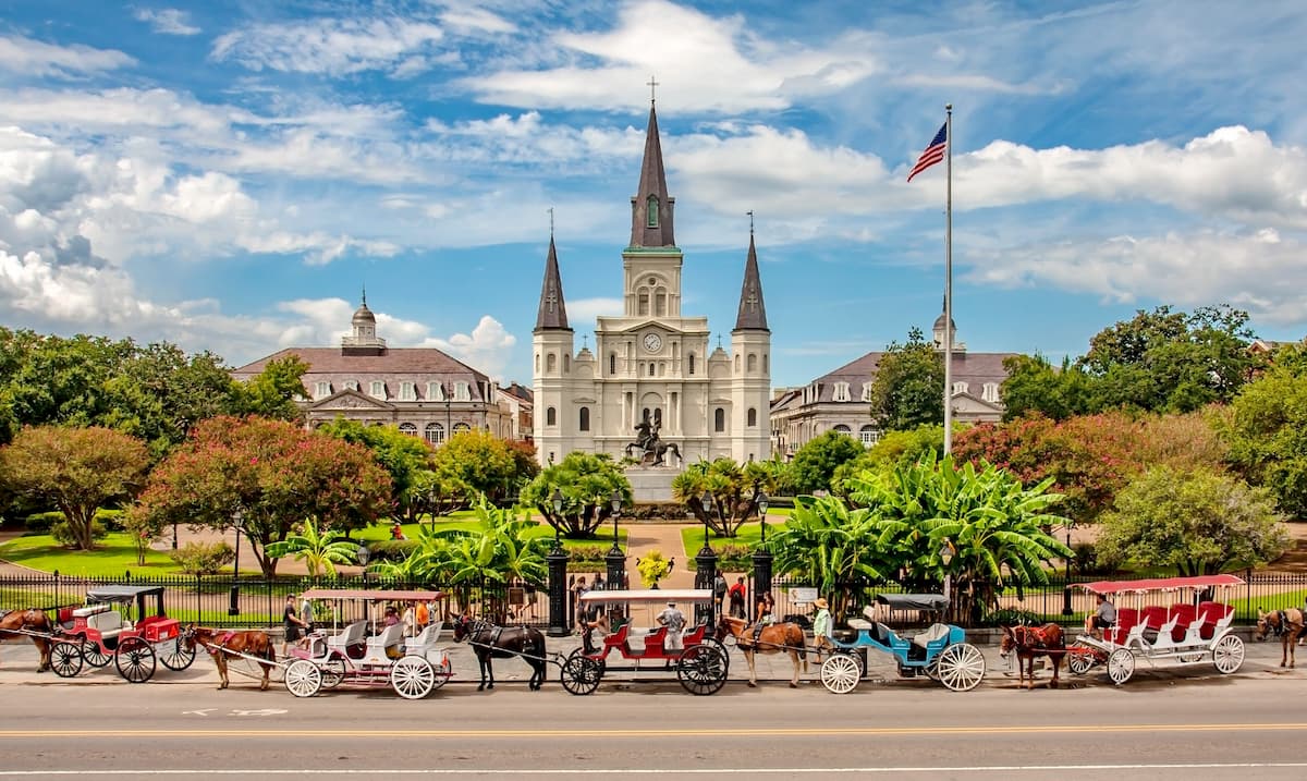
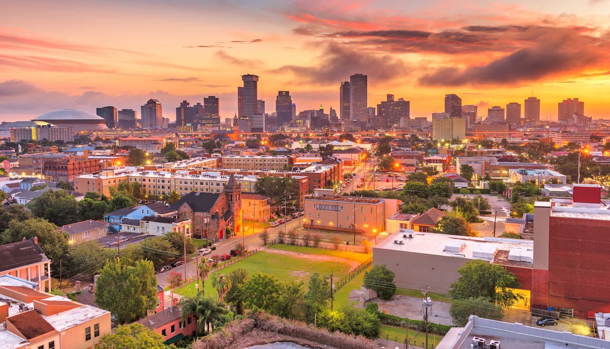
Finally, we have the Greater New Orleans Region, which covers the easternmost part of the state around the city of New Orleans. New Orleans is a lively, exciting part of Louisiana that’s known for its large festivals, nightlife, museums, and cultural scene.
Although most people think of New Orleans as a metropolitan area (which it is), the city is also surrounded by the hills of the Piedmont-Southeast Coast and by wetlands, many of which are now protected wildlife areas. This includes:
Louisiana has a complex and varied geologic history. The oldest rocks in the region are shales, limestones, and other sedimentary rocks that can be found in the northernmost parts of the state, where some of the bedrock dates back to the Cretaceous.
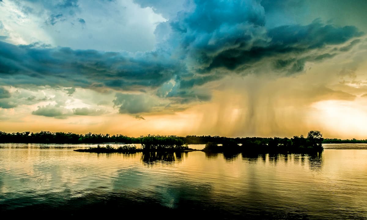
However, the southern portions of Louisiana are very young by geologic standards as much of the Mississippi River Delta region is unconsolidated sediments, such as silts, clays, and sands. This is particularly true around New Orleans and the southern part of Cajun Country, where much of the land is marshy or part of the Mississippi alluvial plain.
Although only 1 mountain in Louisiana crests the 500 foot (150m) mark, some of the tallest points in the state include Driskill Mountain, Gentry Hill, Jordan Mountain, Mossy Hill, and Delaney Mount.
Within the state of Louisiana, there are 3 primary ecoregions, each of which has its own unique mix of flora and fauna.
Covering much of eastern Louisiana, the Mississippi Alluvial Plain runs parallel to the Mississippi River throughout the states of Arkansas, western Tennessee, Mississippi, and Louisiana.
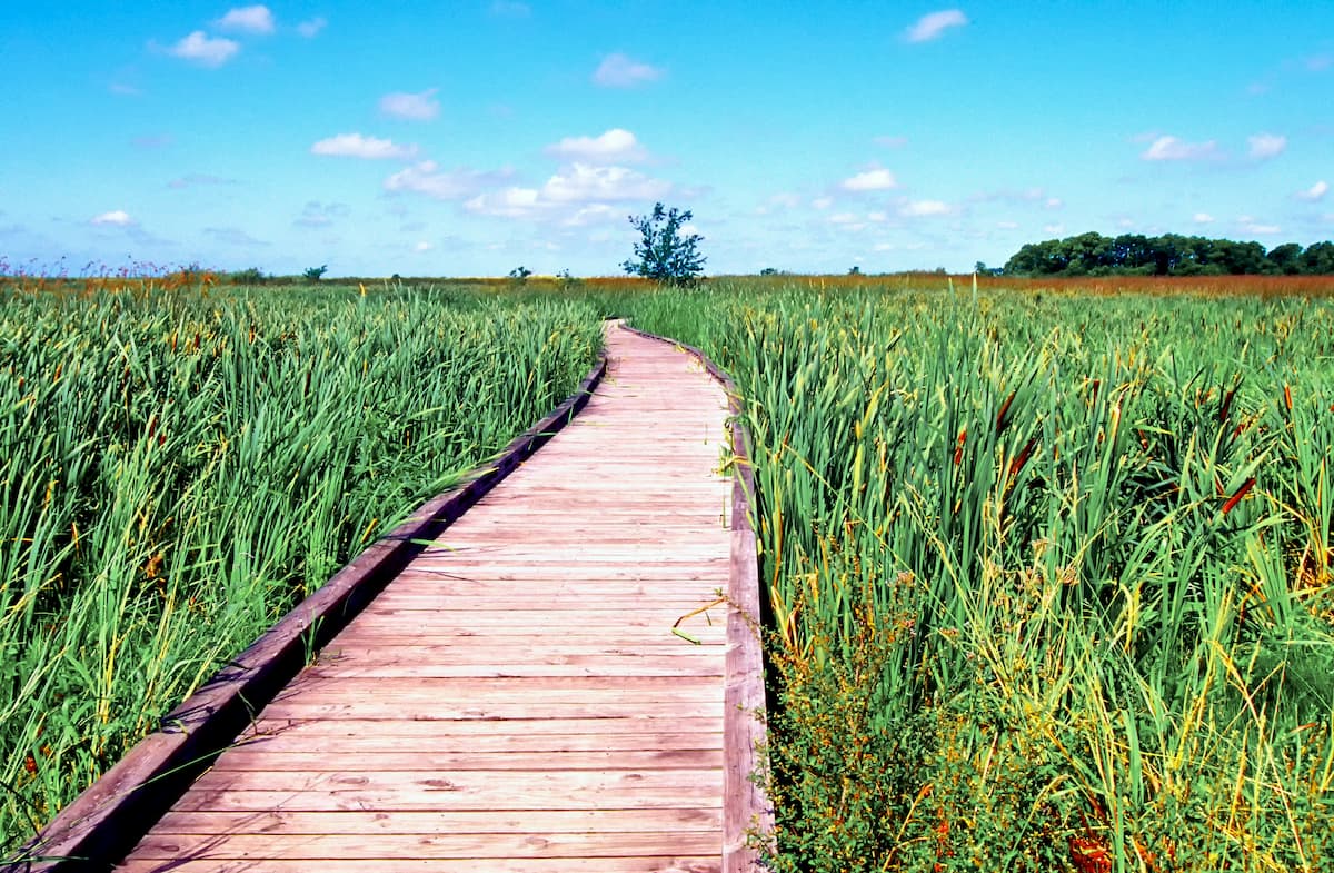
For the most part, this ecoregion is dominated by wetlands, though much of the area has been developed by humans. The natural vegetation in this area is mostly wetlands and floodplain forests however, the draining of these floodplains has destroyed much of the region’s natural ecosystems, as have large amounts of fertilizer runoff from agricultural areas.
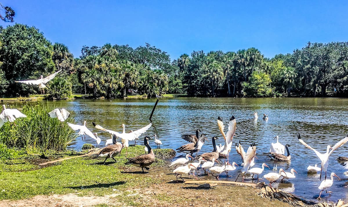
The wetlands of the Mississippi Alluvial Plain are also critically important for migratory birds as it is located along a migration corridor known as the Mississippi Flyway. This flyway cuts across the eastern portion of the Midwest and serves as a migratory route from Hudson Bay in Canada and the Great Lakes all the way to the Gulf of Mexico.
The Western Gulf Coast Plain includes the entirety of the Gulf Coast of Texas, most of the coast of Louisiana, and a small portion of Mexico’s northeastern shoreline. This ecoregion is sometimes called the Coastal Prairie as it is a massive subtropical grassland ecoregion.
Much of this area is home to tallgrass prairie and floodplain forests. Some of the tree species found in this area include magnolia, bald cypress, post oak, and southern live oak.
It is also home to an abundance of wildlife, including hundreds of species of birds. One of the most unique bird species in the region is the critically endangered Attwter’s prairie chicken (Tympanuchus cupido attwateri), which used to live throughout the coastal grasslands in massive numbers before widespread habitat destruction threatened the species’ population.
As far as mammals go, the Western Gulf Coast Plain is home to a variety of animals, such as jaguarundi, ocelots, bobcats, collared peccary, and white-tailed deer.
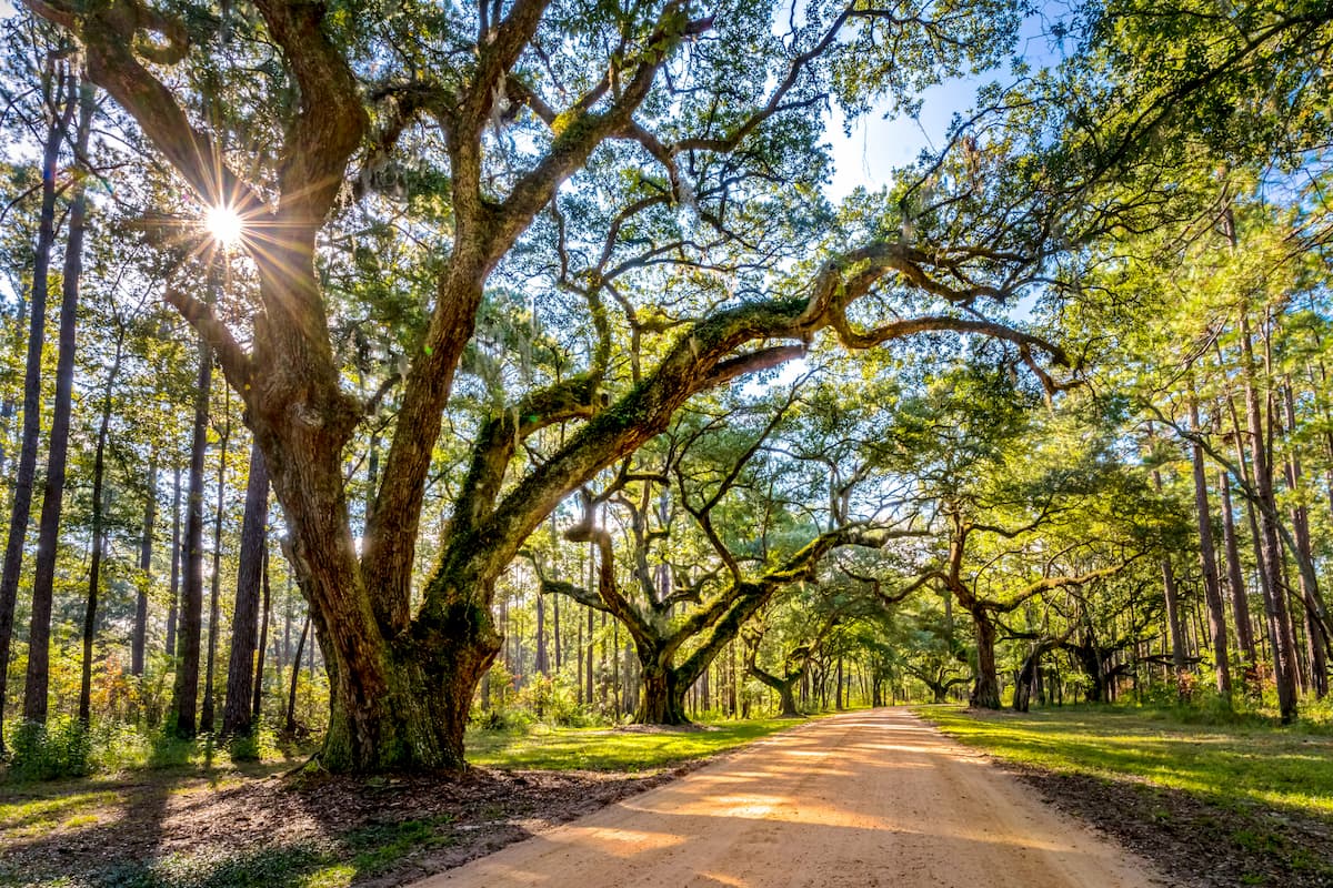
The South Central Plain, or the “Piney Woods,” as they’re known locally, cover the northwestern corner of Louisiana, eastern Texas, and southern Arkansas. This region was historically home to some very dense pine, hickory, and oak forests, though logging operations in the 19th and 20th centuries wiped out substantial portions of this woodland.
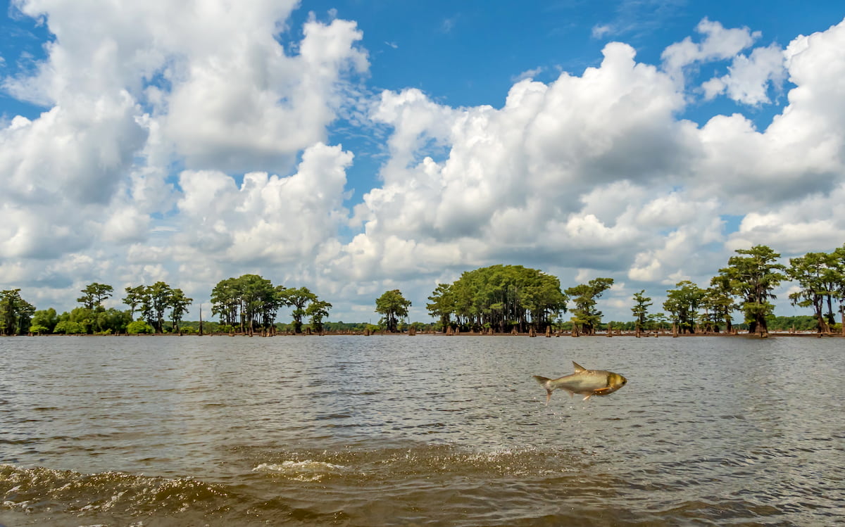
In this ecoregion, one can find quite a few bayous, which are water-filled woodland regions where the water is either a marshy lake, wetland, or very slow-moving stream. Bayous are a treasure trove of biodiversity, as they’re home to crawfish, shrimp, catfish, salamanders, newts, turtles, and plenty of bird species. Oh, and you can also find alligators in these bayous, so care is needed when traveling in this region.
Humans have lived in the region that is now the state of Louisiana for tens of thousands of years. Countless peoples have called the region home over the millenia, though the groups that were most prominent a the time of European colonization include the ancestors of the Choctaw Nation, the Natchez Nation, the Caddo Nation, the Atakapa Ishak Nation, the Chitimacha Tribe, and the Tunica-Biloxi Tribe, among others.
Perhaps the first Europeans to visit Louisiana were members of Panfilo de Narvárez’s 1528 expedition, which ventured throughout the Mississippi River Delta. Hernando de Soto’s 1542 expedition also traveled further up to the northern and western parts of the state before heading down the Mississippi River.
However, the most dominant European force during the colonial period was France, who established the colony of Louisiana in the 17th and 18th centuries. After the Treaty of Paris in 1763, France ceded much of its eastern territory to the British, with the exception of New Orleans and its territories to the west of the Mississippi.
New Orleans actually became a part of Spain for a short period until Napoleon reacquired it in 1800 before selling all of Louisiana to the United States in 1803.
By this point, however, New Orleans was already a center for the Trans-Atlantic Slave Trade. In fact, the year 1811 saw one of the largest slave revolts in US history, the German Coast Uprising, just to the north of New Orleans.
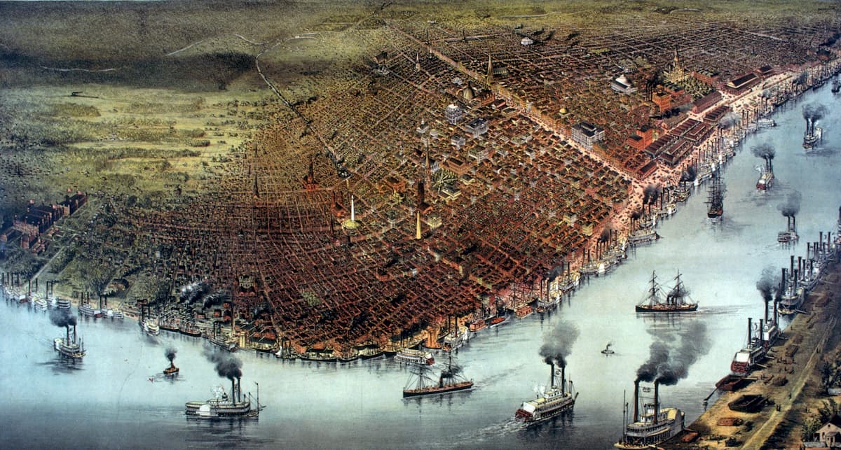
However, Louisiana - and New Orleans in particular - became even more important in the US’ slave markets in the mid-nineteenth century. During this time, New Orleans cemented itself as a center for trade and commerce as its massive port was a hub for the shipping industry, which handled massive amounts of cotton, sugar, and tobacco from the Mississippi River region.
The Antebellum period in Louisiana saw a large growth in the slave-driven plantation economy, which helped to make the state one of the wealthiest in the country at the time. During the Civil War, Louisiana succeeded from the Union and joined the Confederacy, though it was fairly quickly defeated.
The Reconstruction period was a particularly tumultuous time in Louisiana’s history as it was also the impetus behind the infamous 1896 Plessy v Ferguson “separate but equal” Supreme Court ruling, which helped pave the way for systematic segregation. This tumultuous period continued into the Civil Rights Movement in the mid-20th century as Jim Crow segregation was still a fact of life in the state during this time.
Throughout the 19th and 20th centuries, Louisiana’s economy, while also heavily reliant on agriculture, fishing, and shipping, found a new source of revitalization: its petroleum and natural gas resources. To this day, fossil fuels remain a major part of the state’s economy, particularly when it comes to oil drilling, natural gas production, and petroleum refining.
In more recent years, Louisiana and, in particular New Orleans, have been hit by a number of large hurricanes, which have had a major impact on the state during the 21st century. The most catastrophic of these was Hurricane Katrina in 2005, which killed thousands of people, cost hundreds of billions of dollars worth of damage, and caused the failure of many of New Orleans’ levees.
These days Louisiana also has a number of publicly-owned lands and parks, which are great destinations for outdoor recreationalists. In a low-lying state such as Louisiana, mountain climbing isn’t exactly a major pastime, but fishing and boating are very popular among locals.
Louisiana is home to a number of parks and preserves, most of which are small and are operated at the state level. Throughout the state, there are some hiking opportunities, though fishing and boating are perhaps the most popular activities.
Here are some of the best places to check out in the region.
Covering much of central Louisiana, around the city of Alexandria, Kisatchie National Forest is a patchwork of publicly-owned lands which includes about 604,000 acres (2,440 sq. km), split up into 5 ranger areas.
The forest is home to some of the state’s oldest rocks and its largest longleaf pine forests. In fact, it is one of the largest remaining intact areas of natural landscape in the state. There are over 100 miles (160km) of hiking trails in the forest as well as plenty of great opportunities for hunting, biking, boating, camping, cycling, and fishing.
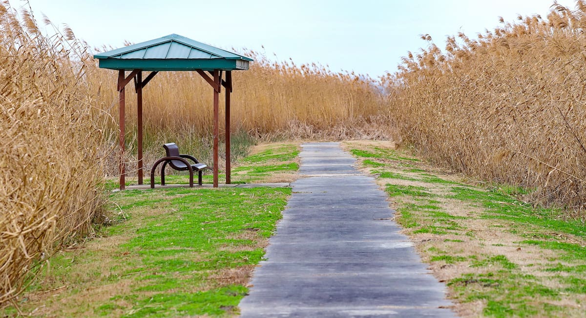
Located in the southernmost part of Louisiana, the Southwest Louisiana National Wildlife Refuge Complex is an amalgamation of 4 different wildlife refuges in the state: Cameron Prairie, Sabine, Lacassine, and Shell Keys.
The refuges protect some of the most important coastal marsh habitat in the Gulf Coast of the US. These areas are critically important for migratory waterfowl and for the other wildlife that call this region home, including alligators, bobcats, otters, and white-tailed deer.
There are a handful of great hiking trails in each of the wildlife refuges, which make for an excellent day of adventure in southern Louisiana.
Looking for a place to stay in Louisiana? Here are some of the best places to visit:
New Orleans, or the “Big Easy,” is the largest city in Louisiana with nearly 400,000 residents. The city is located in the southeastern corner of the state along its Gulf Coast and it is home to the largest airport in the state.
Thanks to its status as a major shipping port along the Mississippi, New Orleans has become a center of commerce, trade, and culture in Louisiana. It is known for its festivals as well as its French Quarter, cuisine, music, and nightlife, which all help to make it a major tourist destination.
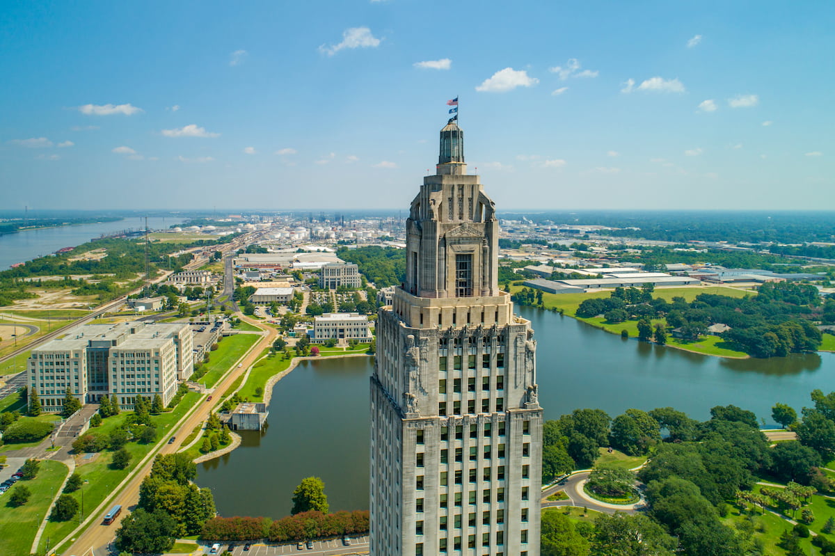
Situated to the northwest of New Orleans, Baton Rouge is the second largest city in Louisiana, as well as the state’s capital. It has a population of about 220,000 residents and it is a major commercial center in the region. Baton Rouge is also home to Louisiana State University and the Southern University System.
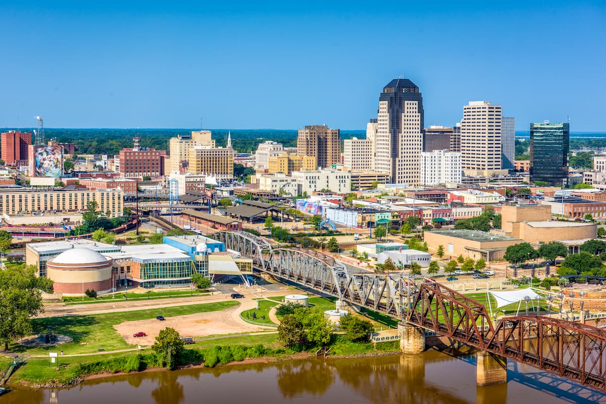
Located in the northwestern corner of Louisiana, the city of Shreveport is the third-largest in the state with nearly 190,00 residents. Shreveport was once a major center for the US’ petroleum industry, though many major corporations have since moved their headquarters elsewhere.
These days, Shreveport remains an important commercial center for the Ark-La-Tex region, due to its location near Louisiana's border with Texas and Arkansas. The city also has a bustling arts scene and it hosts a number of major festivals each year.