
Scan the QR code and open PeakVisor on your phone
Kansas is home to 167 named mountains. The highest is Mount Sunflower at 1,230 m.
Known for its sprawling prairie and fields of grain, Kansas, or “the Sunflower State,” is a state located in the Midwestern United States. It is home to 154 named mountains, the highest of which is Mount Sunflower (4,035ft/1,230m), and the most prominent of which is Temple Knob (1,647ft/502m).
The state of Kansas is located in the central part of the United States in the Midwestern region. It is a land-locked state that borders 4 other states - Colorado, Nebraska, Missouri, and Oklahoma - and is within driving distance of Iowa, Arkansas, Texas, and New Mexico.
Interestingly, Kansas is nearly perfectly equidistant from both the Atlantic and Pacific oceans. Kansas’ Smith County is actually the geographic center of the contiguous United States, though it’s worth mentioning that the geographic center of North America (taking into account Canada and Mexico) is generally agreed to be in North Dakota.
Kansas has a total area of 82,278 square miles (213,100 sq. km), of which only 520 square miles (1,346 sq. km) is water. It is actually among the larger of the states in the US, ranking 15th in terms of total area. That being said, Kansas is just the 35th most populous state in the Union, so it is fairly sparsely populated. Indeed, the state is the 40th most population dense in the country.
Unlike most of its neighboring states, however, Kansas doesn’t really have any named mountain ranges. To be fair, technically speaking, the Ozark Highlands clip the southeastern corner of the state, but in Kansas, the range is more rolling hills rather than jagged mountain peaks.
Although it certainly has some high points, such as Mount Sunflower, Temple Knob, West Mound, Gun Barrel Hill, South Mound, Williams Butte, and Lookout Mountain, only 29 of Kansas’ 154 named mountains have a prominence of over 100 feet (30m).
From a geographical perspective, the state of Kansas is a topographical transition point between the rolling hills of the Ozark Highlands to the east and the much more flat plains to the west before the landscape becomes much more rugged in the Southern Rocky Mountains of western Colorado.

This is not to say, however, that there’s no outdoor recreation to be had in Kansas. Indeed, the state is home to a number of different recreation areas, such as:
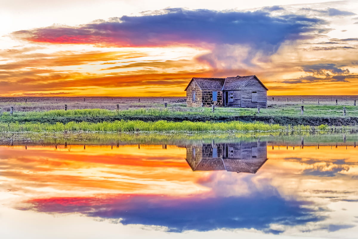
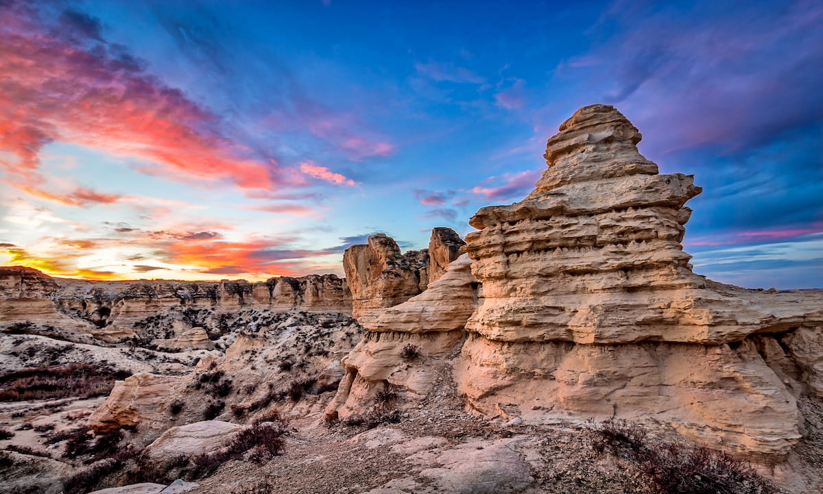
These days, Kansas is known for being relatively flat and low-lying, particularly when compared to its loftier neighbors to the west, however the state has undergone a wide range of different geologic processes over the past few billion years to create the landscapes that we see today.
Back in the early part of the Cambrian, about 540 million years ago, the land that is now land-locked Kansas was actually covered by an ancient shallow sea. During this time, the seafloor collected massive amounts of sediments, which eventually consolidated and became sedimentary rocks, such as shales, limestones, sandstones, and dolomites, which form the basement rock of much of the state.
Throughout the next couple hundred million years, Kansas underwent various periods of being covered by ancient oceans, which only further accumulated sediments, building up layers and layers of sedimentary rocks. Additionally, during the Orodivian, the region started to form its first oil deposits.

Oil, gas, and coal deposits in the state really started to take shape, however, during the Carboniferous, which saw the formation of shallow seas, river channels, and swamps throughout eastern Kansas. During this period, other mineral deposits, such as zinc and lead, also started to form.
Following this period of substantial mineral and fossil fuel deposits, the state of Kansas saw repeated periods of being covered by shallow seas until about the end of the Mesozoic. By this point, the seas had dried up, but by the Pleistocene, northern Kansas was covered by widespread glaciation.
Although Kansas never experienced any major mountain building periods (known as orogenies), the state owes much of its current landforms to the massive erosion that took place during the Pleistocene glaciation. Moreover, during this time, prevailing winds deposited large amounts of dust into hills, known as loess hills, on the western side of the state, though these are mostly rolling hills rather than dramatic landscapes.
The state of Kansas is home to a number of different natural ecoregions, each of which contains its own unique mix of flora and fauna. Here are some of the many ecoregions that you can see in Kansas.
Covering much of western Kansas, as well as parts of western Nebraska, eastern Colorado, eastern Wyoming, eastern Oklahoma, and northern Texas, these 2 ecoregions make up a sizable portion of the Great Plains, which can be found in the US and Canada.
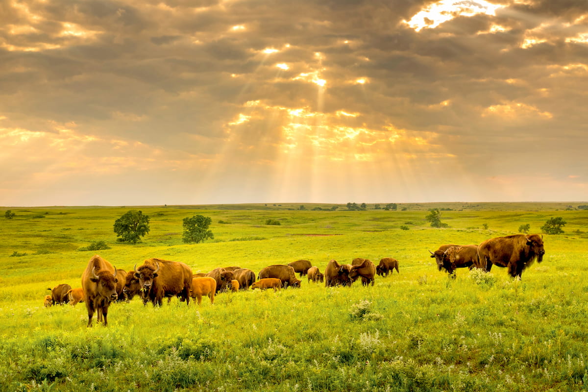
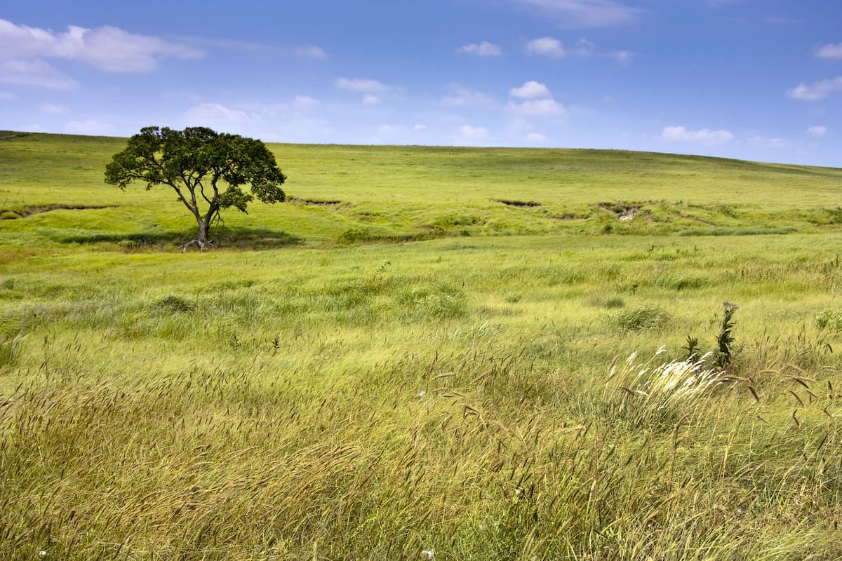
Although much of this region is now used for agriculture and few large areas of natural vegetation remain, western Kansas is traditionally home to tall and shortgrass prairies, as well as scrub. It’s also part of the historic range of the American bison, which has since been extirpated from the area, though there are some small introduced herds in the state.
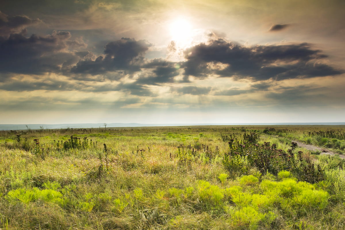
Home to some of the densest remaining area of tallgrass prairie in the United States, the Flint Hills ecoregion in eastern Kansas and northern Oklahoma is a unique area that’s worth a visit if you’re in this part of the state.
The region got its name from the eroded flint fragments that can be found at the surface of its very rocky soils. In fact the rockiness of the soil is one of the main reasons why the ecoregion is still intact as it isn’t particularly suitable for farming, though ranching is a major industry in the area.
Due to the ecological importance of this region, you can actually find a number of tallgrass prairie preserves in the Flint Hills, including Tallgrass Prairie National Preserve, and the Konza Prairie Preserve.
As far as wildlife goes, this region was also once home to bison and elk, though these have been extirpated from the Flint Hills.
One rare, yet still sightable bird that you can find in the Flint Hills of Kansas is the greater prairie chicken. Although the greater prairie chicken was once very abundant in the Plains and even in coastal Texas, it is now classed as vulnerable, due to widespread habitat loss.

The Central Irregular Plains are found in eastern Kansas, near some of the state’s largest population centers. This ecoregion currently sees a wide mix of different land uses, from urban and suburban sprawl to agriculture and mining.
In general, the natural vegetation of the Central Irregular Plains is a mix of forests and grasslands with large riparian areas. However, human activity has stripped most of this region of its natural ecosystems, replacing them with farmlands, towns, and large mines.
Located just north of the Central Irregular Plains, the Western Corn Belt Plains cover a small section of northeastern Kansas, as well as most of Iowa and parts of Nebraska, Minnesota, Illinois, South Dakota, and Missouri.
As the name suggests, the Westren Corn Belt Plains are a major agricultural area which predominantly grows corn. This region used to be dominated by prairie, though the vast majority of it now supports cropland agriculture while the next most common land-use is grazing pasture.

Little of the natural vegetation still exists in this part of Kansas or the Midwestern United States. However, you can still find some small oak hickory forests in riparian areas.
The land that’s now part of the state of Kansas and the rest of the Great Plains have been home to humans for thousands of years. Countless peoples have lived in this region over the millennium, though some of the most dominant in recent centuries include the Osage, the Kaw (Kansa), the Nʉmʉnʉʉ (Comanche), the Pawnee, the Sioux, the Cheyenne and Arapaho, the Wichita, and the Kiowa.
Some of the many tribes and nations in Kansas have ancestral connections to the land while many others emigrated here after being forced off their homelands elsewhere in the country. In Kansas, there are 4 federally recognized tribes and nations, including the Iowa Tribe of Kansas and Nebraska, the Kansas Kickapoo Tribe, the Prairie Band Potawatomi Nation, and the Sac & Fox Nation.
One of the earliest Europeans to visit Kansas was likely Francisco Váquez de Coronado of Spain, who is believed to have reached as far as Coronado Heights in 1541. Nearly 2 centuries later, Étienne de Bourgmont of France established a trading post along the Kansas River, though there weren’t really any permanent European settlements in the region until the latter part of the 18th century.
During this time, the land that would later become Kansas was claimed by France, though ceded to Spain after the Seven Years’ War. It was later returned to France before it was sold as part of the Louisiana Purchase in 1803.
Perhaps the most famous Americans of European descent to visit the region in the early 19th century were the members of the Lewis and Clark Expedition, which camped at the confluence of the Missouri and Kansas Rivers near modern-day Kansas city in 1804. Zebulon Pike, the American brigadier general, later traveled through modern Kansas in 1806, calling it a large desert on his newly commissioned maps.
For most of the early 19th century, Kansas was part of the Missouri Territory until Missouri became a state in 1821. Afterward, Kansas became its own territory and it was, for the most part, set aside as territory for forcibly relocated Indigenous peoples, who were pushed off their land in the eastern and southern US and moved to the then-unincorporated Kansas Territory.
With the passage of Indian Removal Act of 1830, more and more tribes and nations were forcibly relocated to Kansas and nearby Oklahoma. However, despite the many treaties that were signed that designated this land as Indigenous territory, many Americans of European descent squatted throughout the region and pushed for it to be opened up for formalized US settlement.
The Kansas Territory was officially designated in 1854, alongside the Nebraska Territory. The next decade was particularly tumultuous in Kansas’ history as it sought to create a formalized constitution and gain its statehood, which happened in 1861.
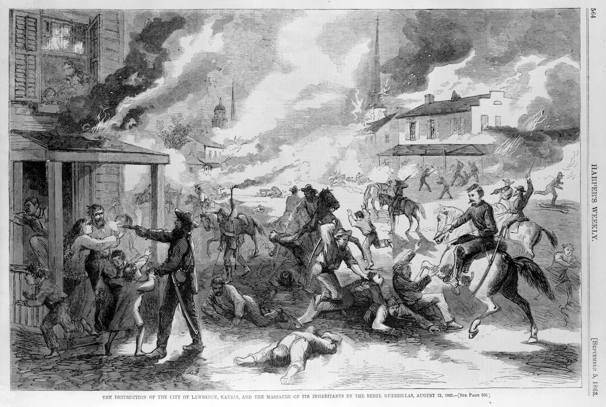
Kansas wasn’t of overwhelming strategic importance during the Civil War and, as such, it saw relatively little action. However, the years after the Civil War saw the introduction of various railroads and the boom in farming within the region.
The state was actually the first to prohibit alcohol, all the way back in 1881, well before the formal period of prohibition in the US. To this day, over 2 dozen of Kansas’ counties are considered “dry counties” and do not sell alcohol, while many more have various rules regarding the timing of alcohol sales in local towns.
Kansas remains a highly agricultural state, with much of its economy dependent on crops and livestock. It also has a large petroleum and natural gas production industry.
Sports, both professional and collegiate, are very important in Kansas on a cultural and economic level. The state is also home to some major military bases, including Fort Riley and Fort Leavenworth of the Army and McConnell Air Force Base.
Nearly 90% of Kansas is farmland, so hiking opportunities on public lands are limited in the state. However, there are some fun outdoor destinations to check out in Kansas.
Located in the southwestern corner of Kansas near the town of Elkhart, the Cimarron National Grassland is home to some of the last remaining patches of shortgrass prairie in the state. The grassland contains 1 named mountain, Point of Rocks.
Cimarron National Grassland is managed alongside the Comanche National Grassland, Pike National Forest, and San Isabel National Forest. It is the largest single area of public land within the state of Kansas at just 108,176 acres (437 sq. km).
The grassland is a popular outdoor recreation destination, thanks to its many fishing ponds and rivers. Moreover, the Santa Fe Historic Trail passes through Cimarron for about 23 miles (37km).
Quivira National Wildlife Refuge is located almost perfectly in the geographic center of Kansas, near the town of Stafford. It is a very flat, low-lying area with many salt marshes, which provide excellent habitat for a number of rare bird species.
Additionally, the refuge contains a number of sizable sand dunes, which are covered with both tallgrass and shortgrass prairie. You can find some small woodlands of eastern redcedar, black locust, and cottonwood trees.
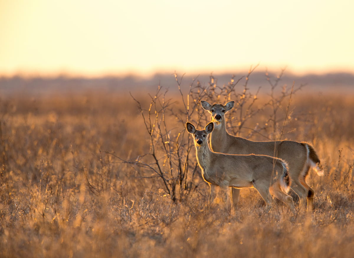
Within the refuge, there are hundreds of bird species as well as populations of white-tailed deer, badger, racoon, coyote, red foxes, bobcats, beavers, and prairie dogs. Bison historically inhabited this area, though they have since been extirpated from the region.
There are a handful of hiking trails within Quivira National Wildlife Refuge, including:
While most of these trails are quite short, off-trail hiking is allowed throughout the refuge, which makes it a great place to visit if you’re looking to get some great views of wildlife.
Tallgrass Prairie National Preserve is situated in the east-central part of Kansas, just southwest of Topeka. It contains 1 named high point, Windmill Pasture Hill.
The preserve was created in 1996 in order to protect some of the last remaining tallgrass prairie ecosystems in North America, which once covered much of the Great Plains. These days, it is also home to the small, but growing Tallgrass Prairie bison herd, which was introduced to the region from Wind Cave National Park in South Dakota.
Visitors to the preserve can enjoy hiking on the area’s 40 mile (64km) of hiking trails, which include:
Keep in mind, however, that the preserve’s bison herd is very active, so be sure to keep your distance from wildlife at all times.
Planning a trip to Kansas? Check out some of these cities on your next visit:
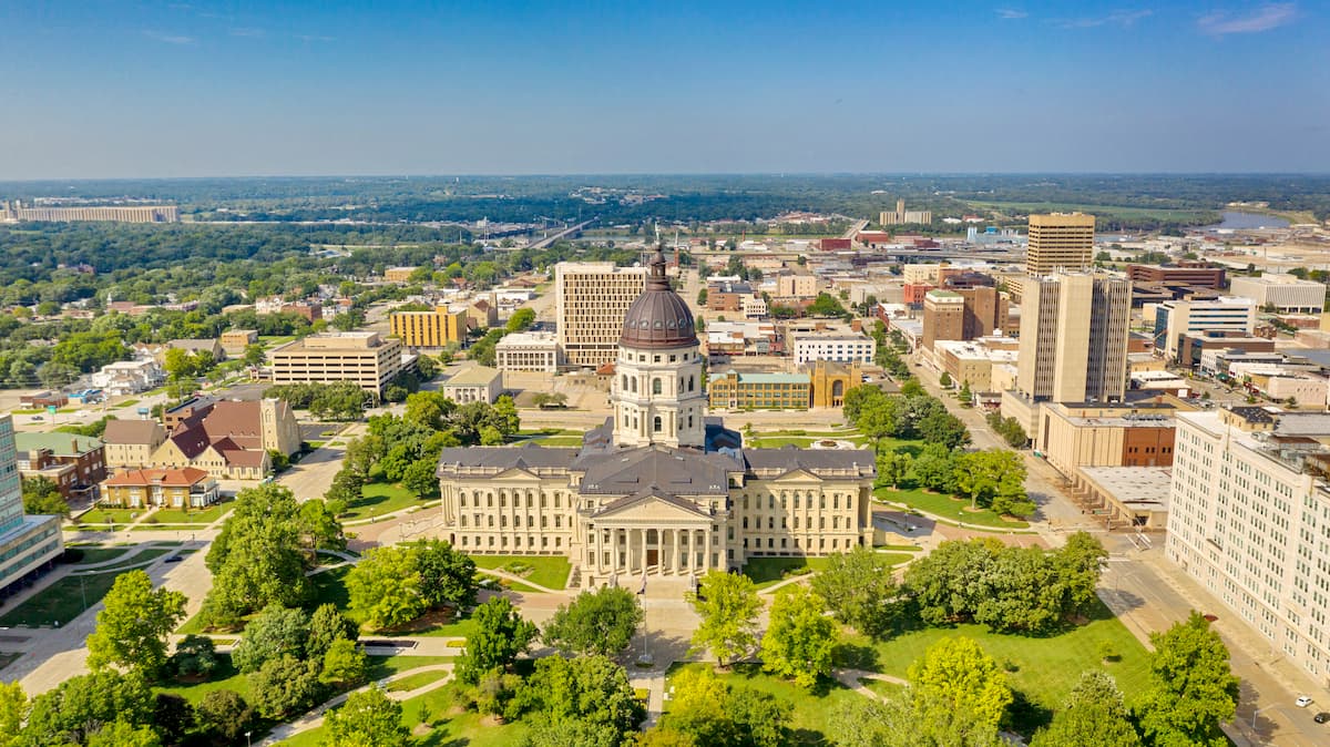
Topeka is the capital of Kansas, though with a population of about 125,000 residents, it is just the fifth largest city in the state.
The city is perhaps best known on a national level as the site of the landmark Brown v. Board of Education Supreme Court Case of 1954, which deemed school segregation to be unconstitutional.
Topeka is accessible by road along I-70 and it has both rail and bus transport to major cities in the area.
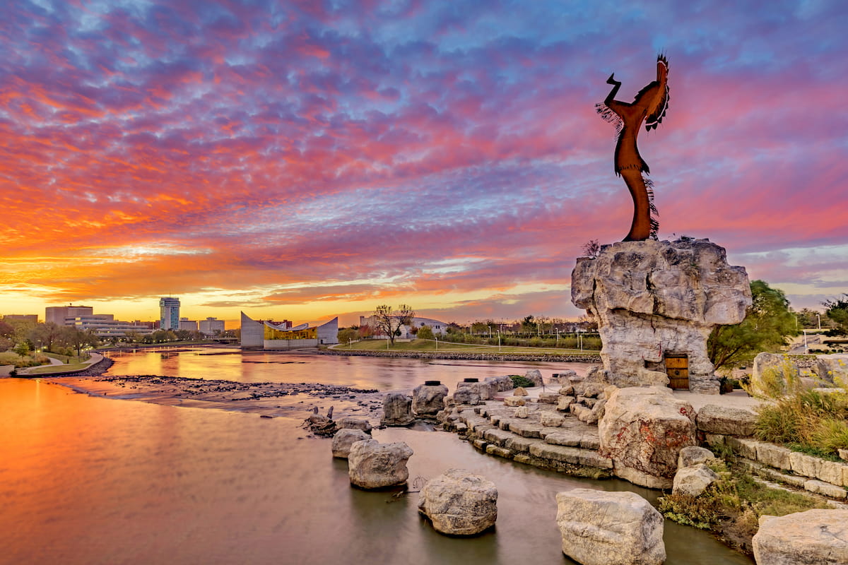
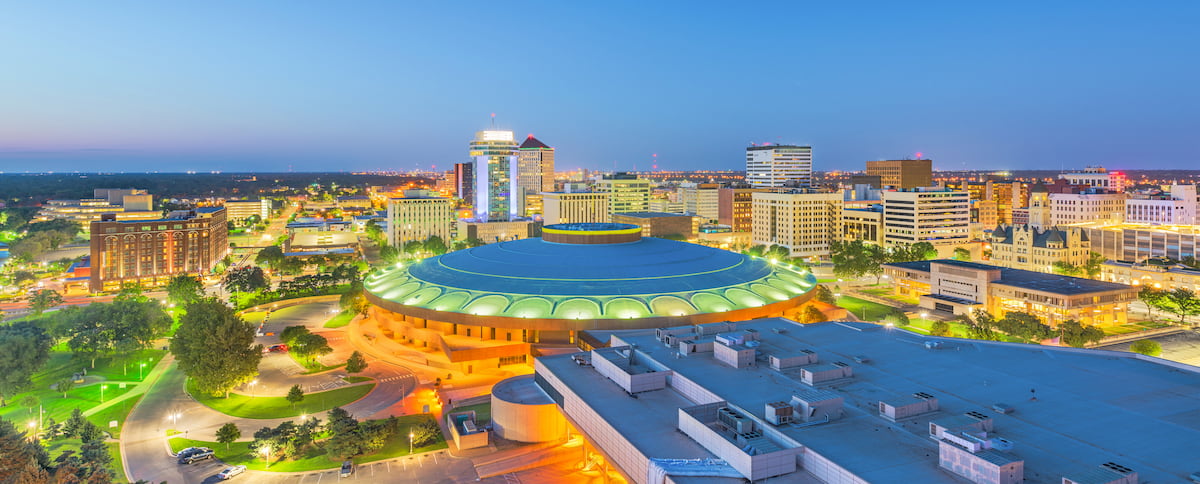
The largest city in Kansas, Wichita is located in the south-central part of the state and is home to about 390,00 residents. Over the years, the city has developed a major aeronautical industry and it has since become a major hub of aircraft manufacturing.
Wichita is located along I-35 and it is home to the largest airport in the state of Kansas, Wichita Dwight D. Eisenhower National Airport.
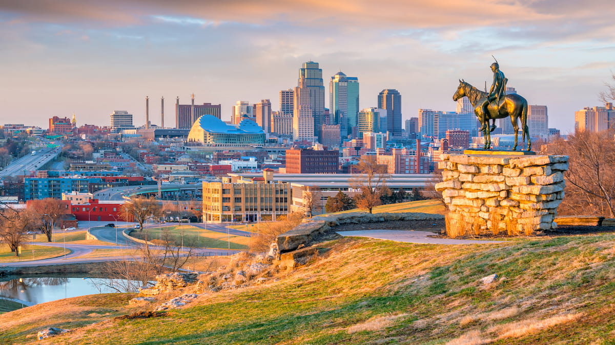
Kansas City is the third largest city in Kansas with approximately 145,000 residents. It’s worth noting, however, that Kansas City, Kansas is substantially smaller than Kansas City, Missouri, which is home to about 500,000 residents and is situated on the eastern side of the Missouri River. Confusing, we know.
Both I-35 and I-70 run through Kansas City, though the largest airport in the region is located on the Missouri side of the border at Kansas City International Airport.


Yes. Kansas has 167 named mountains. The highest is Mount Sunflower at 1,230 m.
The highest mountain in Kansas is Mount Sunflower, at 1,230 m.
Kansas has 167 named mountains.


