Scan the QR code and open PeakVisor on your phone
Boasting a blend of rolling cornfields and bustling city life, Illinois is a large state in the Midwest region of the United States. Illinois is not a particularly mountainous state, though it does have 347 named high points, the highest of which is Charles Mound (1,234ft/376m), and the most prominent of which is Williams Hill (1,063ft/324m)
The state of Illinois is located in the Midwestern region of the United States. It shares a land border with five states, including Wisconsin to the north, Iowa and Missouri to the west, Kentucky to the south, and Indiana to the east. Furthermore, it shares a small section of maritime border in Lake Michigan with the state of Michigan.
With a total area of some 57,915 square miles (149,997 square kilometers), Illinois is the 25th largest state in the union. However, with a population of over 12.6 million people, Illinois is the 6th most populous state and the 12th most densely populated.
The state of Illinois is home to 102 counties, the most populous of which is Cook County. Home to the city of Chicago, Cook County is the second most populous county in the United States after Los Angeles County in California. Interestingly, more than 40% of Illinois residents live in Cook County.
In addition to counties, Illinois can also be informally divided up into regions. Each of these regions, although not an official designation, is home to its own unique topography and culture.
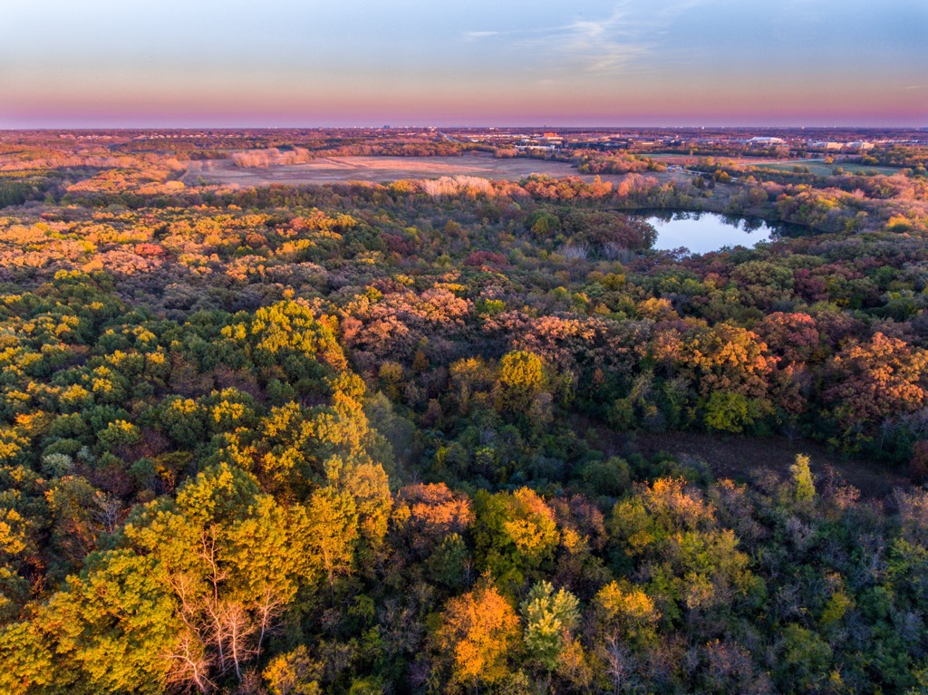
Covering the northern third of the state, the region of Northern Illinois generally includes Jo Daviess, Stephenson, Winnebago, Boone, McHenry, Lake, Cook, DuPage, Kane, DeKalb, Ogle, Lee, Carroll, Whiteside, Rock Island, Henry, Bureau, Putnam, La Salle, Kendall, Grundy, Will, Kankakee, and Mercer counties.
This region is easily the most populous part of the state with nearly 10 million inhabitants. Furthermore, Northern Illinois is a highly urbanized area with major cities, such as Chicago and Rockford, dominating the region.
As a result, the region’s economy is highly urbanized, with the manufacturing and technology industries dominating the local economy. There are also quite a few major higher education institutions in this region, including the University of Chicago and Northwestern University.
That being said, while Northern Illinois is highly urbanized, there are plenty of smaller parks and recreation areas to check out in the region. Some of the parks located in the eastern part of the region include:
Meanwhile, parks located in the western part of the region include:
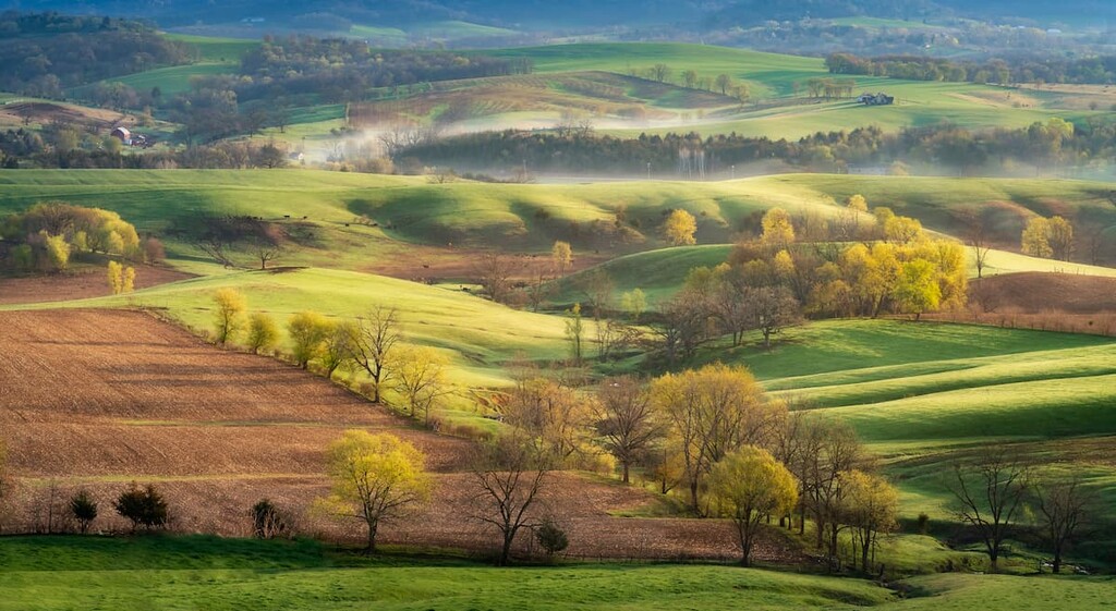
Encompassing the central third of the state, the Central Illinois region includes Henderson, Warren, Knox, Stark, Marshall, Kingston, Iroquois, Ford, McLean, Woodward, Peoria, Fulton, McDonough, Hancock, Tazewell, Vermillion, Champaign, Piatt, De Witt, Logan, Mason, Schuyler, Adams, Pike, Brown, Cass, Menard, Sangamon, Macon, Moultrie, Douglass, Edgar, Clark, Coles, Cumberland, Shelby, Christian, Scott, Morgan, Greene, Calhoun, Jersey, Macoupin, and Montgomery counties.
Compared to the Northern region, Central Illinois is much more agricultural. This region is mostly flat and covered in prairie, though the increasing number of urban areas and agricultural lands have changed the regional ecosystems.
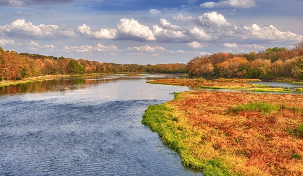
However, despite being highly agricultural, there are plenty of outdoor recreation areas and public lands in Central Illinois. One of the most notable is Chautauqua National Wildlife Refuge, which is a haven for migrating and resident waterfowl.
Other parks located in the western part of the region include:
Additionally, parks located in the eastern part of the region include:
The third and final region in the state, Southern Illinois covers the southern third of the state, which includes Madison, Bond, Marion, Clay, Richland, Lawrence, Clinton, Wabash, Edwards, Wayne, Jefferson, Marion, Saint Clair, Monroe, Washington, Jefferson, White, Hamilton, Franklin, Perry, Randolph, Jackson, Williamson, Saline, Gallatin, Hardin, Pope, Massac, Johnson, Union, Pulaski, and Alexander counties.
This region is easily the most rugged part of the state, though it is also arguably the most rural. Many people consider this part of Chicago to be more a part of the Upland South than the Midwest as it shares much more culturally with the southern parts of the United States.
The economy in Southern Illinois is dominated by the agricultural industry. Here, they grow everything from corn and soybeans to peaches, grapes, cotton, hay, and sunflowers. Furthermore, this region was home to fairly large deposits of both oil and coal, though the oil industry has more or less ceased operations in Southern Illinois during the last few decades.
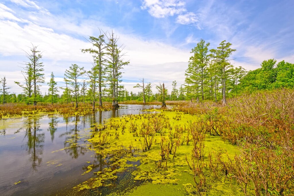
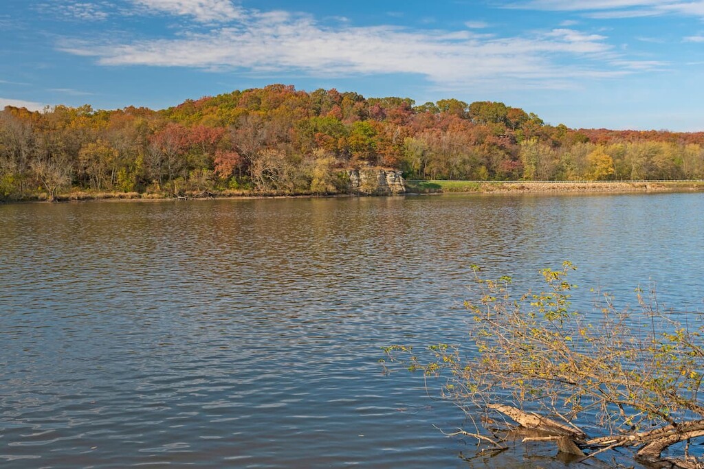
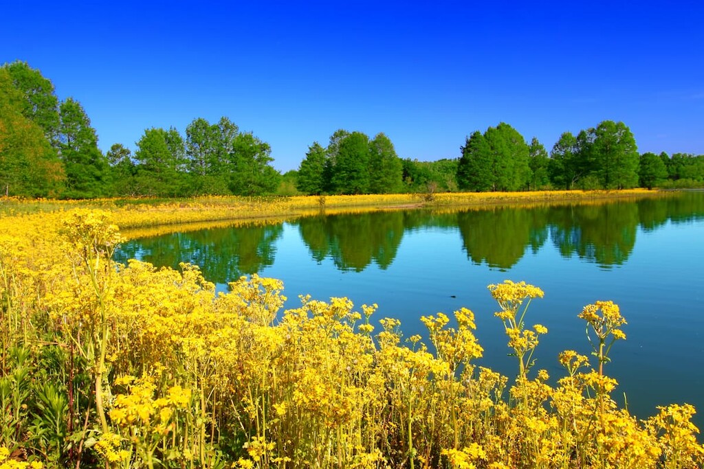
Southern Illinois also contains the state’s greatest concentration of outdoor recreation areas. Indeed, this region is a popular destination among regional tourists, many of whom flock to Shawnee National Forest—the largest single tract of protected land in the state.
Parks found in the eastern part of the region include:

Furthermore, the western half of the region includes parks such as:
Although Illinois is often thought of as a relatively flat state, it does boast a varied and unique geologic history.
The state itself is underlain mostly by sedimentary rocks, including sandstones, limestones, siltstones, and the like. Meanwhile, much of the surface geology of the state is layers of unconsolidated sediments, such as gravels, silts, clays, and sand.
Much of the recent geologic history of Illinois has been dominated by glaciers. Similar to nearby Indiana, Illinois was heavily glaciated during the last major glaciation, with some estimates saying that about 85% of the state was covered in ice during this period. This ice sheet flattened out much of what is now the state of Illinois and left behind considerable sedimentary deposits.
Furthermore, Illinois is considered to be fairly rich in mineral resources. The major mineral resource in the state is coal, which is mostly found in the southern portions of the state. Other resources found in Illinois include oil, natural gas, fluorite, lead, zinc, and limestone.
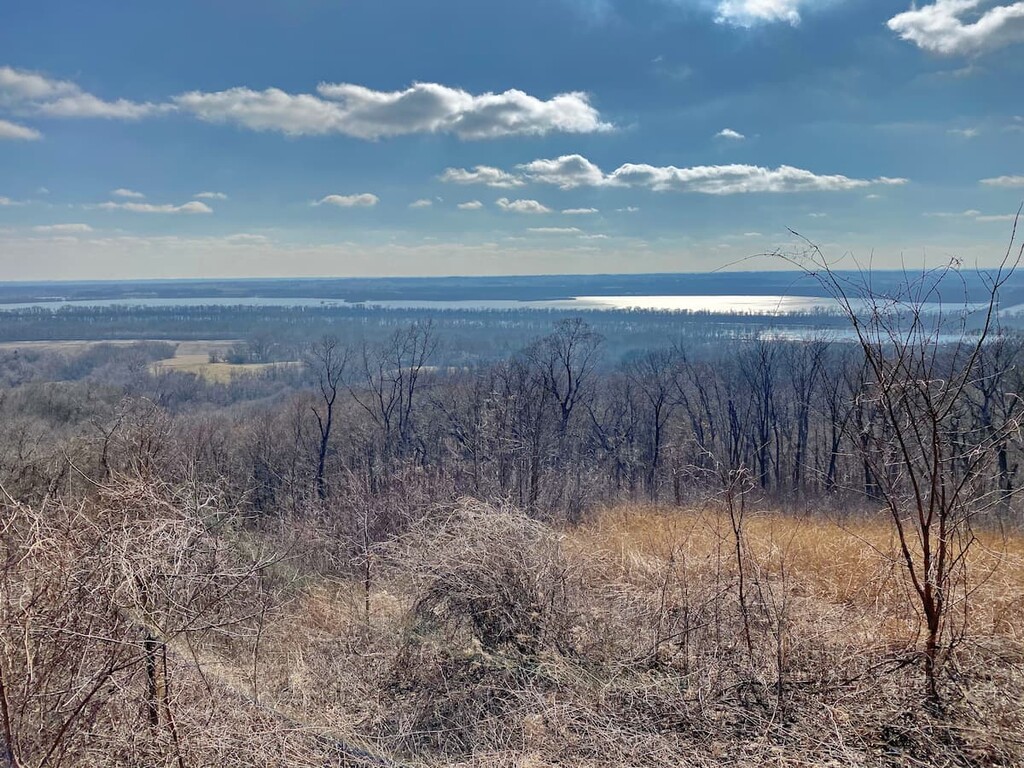
That being said, it’s important to note that the southern portion of Illinois does contain some fairly significant hills. Interestingly, the highest point in the state—Charles Mound—is actually found in the northern part of Illinois.
But, the southern part of the state includes the Piedmont-Southeast Coast and the Appalachian Plateaus of the Appalachian Mountains. Parts of the Ozark Highlands also technically cross into extreme southern Illinois.
Major high points in the state include Charles Mound, Benton Mound, High Point, Mount Sumner, Hudson Mound, and Squirrel Grove Mound.
Technically speaking, Illinois contains 5 major ecoregions. However, 3 of these ecoregions account for very small percentages of the state’s total land area. As a result, only 2 of the state’s ecoregions—the Interior River Lowland and the Central Corn Belt Plains—are widely dispersed throughout Illinois.
Covering much of the southern half of the state, the Interior River Lowland is mostly home to wide, flat valleys and rolling glacial till plains. However, unlike other nearby regions, less than 50% of the total ecoregion is used for agricultural purposes. Therefore, this part of Illinois is home to fairly sizable stands of forest cover.
Found throughout northern Illinois, the Central Corn Belt Plains are now a highly agricultural region that dominates much of the northern midwest. This region was once a mix of both oak-hickory forests and prairie, but it is now almost entirely used for agriculture. Major crops in this region include corn and soy, though livestock grazing is also popular.
The area that is now part of the state of Illinois has been inhabited by humans for thousands of years. Indeed, the state is home to a number of important archaeological sites, many of which date back to the people of the Mississippian culture.
Furthermore, at the time of European contact, there were countless tribal nations living in and around what is now the state of Illinois. Although there are currently no federally-recognized tribal nations in Illinois to this day, nor any tribal reservations in the state, the land that is now part of Illinois is part of the ancestral homelands of many peoples.
This includes the many tribal nations that were forcibly relocated to other parts of the United States during the nineteenth century. Some of the many peoples that consider the state of Illinois to be part of their traditional territory include the Chickasaw, the Shawnee, the Illini, the MIami, the Ho-Chunk, and the Dakota Sioux.
The first peoples of European descent to visit what is now Illinois were likely Jacques Marquette and Louis Jolliet of France who arrived in the 1670s. After their arrival, a number of French fur traders also traveled through the region, creating forts and other trading posts.
However, the region was fairly sparsely settled by European colonists during the eighteenth century. In fact, after the French and Indian War, the land was included as part of what the British called “Indian Territory,” so European colonists were formally prohibited from settling in the region. Nevertheless, in the 1780s, the region became part of the Northwest Territory.
After being included as part of the Northwest Territory, Illinois was mostly settled by farmers and prospectors. In 1809, it became part of the Illinois Territory, which also included parts of modern-day Minnesota, Michigan, and Wisconsin.
Eventually, immigration to the state from other parts of the union increased during the nineteenth century. By 1818, the territory had enough residents to petition for statehood, which it acquired in 1818.
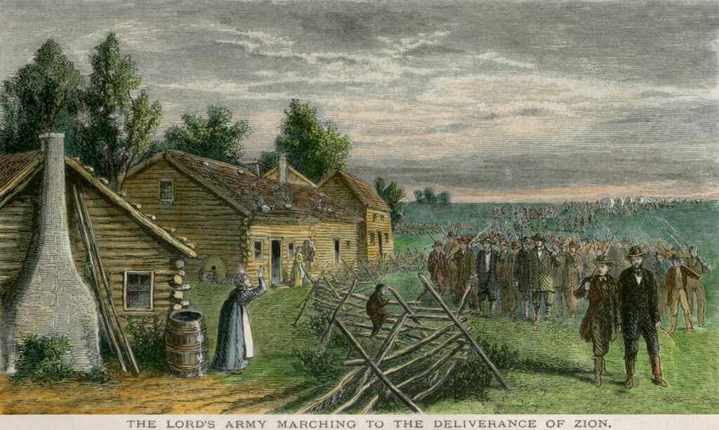
Interestingly, while Illinois was considered to be a “free state,” slavery was somewhat common throughout the new state. Furthermore, in 1853, a new state law prohibited all Black people, including both enslaved peoples and freedmen, from settling in the state of Illinois.
During the Civil War, Illinois fought on the side of the Union. Illinois was also the first state to ratify the 13th Amendment, which banned slavery, in 1865.
In the years after the Civil War, Chicago saw a massive boom in its population. However, one of the most notable events in Illinois state history, the Great Chicago Fire, destroyed a substantial part of the city in 1871.
By the twentieth century, the state was a major population center for the Midwest. It was a final destination for many immigrants from both Europe and from the southern part of the US.

Since then, Illinois has established itself as one of the most important agricultural and urban centers in the country. Chicago remains one of the country’s largest cities and one of its most important economic hubs. Meanwhile, the state’s agricultural industry produces a substantial amount of the nation’s grain.
For skiing and snowboarding enthusiasts, there are more than 5 ski resorts in Illinois, which are located in the north of the state.
The largest is Chestnut Mountain Resort with more than 5 km (3 mi) of slopes and 5 ski lifts. Another major area for skiing in Illinois is Snowstar. The two main ski resorts near Chicago are Villa Olivia-Bartlett and Four Lakes.
Check the Illinois ski resorts map and the larger USA ski resorts map in the World Mountain Lifts section of the site. It includes information about open ski lifts / slopes in Illinois in real-time with opening dates and hours. There are also year-round cable cars, funiculars, cog railways, aerial tramways, and all other types of mountain lifts.
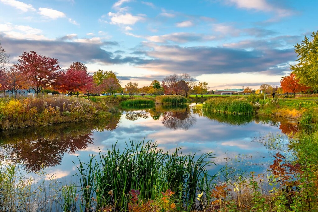
Illinois might be best known for its Chicago deep-dish pizza and sprawling cornfields. But, there are plenty of superb outdoor recreation destinations to check out in the state. Here are some of the best parks and forests to visit during your next trip to the Land of Lincoln:
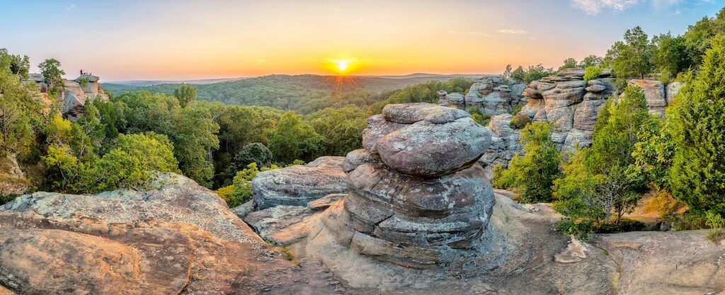
Illinois’ only national forest, Shawnee National Forest covers a sizable swath of the southernmost portion of the state. It is home to 71 named mountains, the highest and most prominent of which is Williams Hill.
Shawnee National Forest is the largest single area of publicly-owned land in the state of Illinois. It was actually first designated as a national forest in an attempt to restore some of the degraded farmland in the region.
Over the years, Shawnee National Forest has grown into a popular destination for outdoor recreation in the state. It also contains 7 officially designated wilderness areas, including:
There are hundreds of miles of hiking trails within the forest for visitors to enjoy. One of the most notable is the 160 mile (257 km) River to River Trail, which offers a chance to see some of the finest scenery in the state. It’s a fairly popular thru-hike, so it’s well worth the effort if you have a week or two free to hike it from end to end.
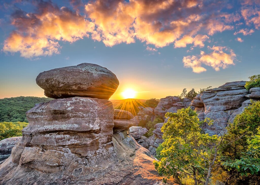
Starved Rock State Park is arguably the most popular state park in all of Illinois. It’s located in the north-central part of the state, just outside of the town of Utica.
The park itself covers about 2,600 acres (1,000 ha) of land including some truly stunning cliffs and canyons. In fact, the park is home to large outcroppings of St. Peter Formation sandstone, which is particularly stunning against the forested backdrop that surrounds it.
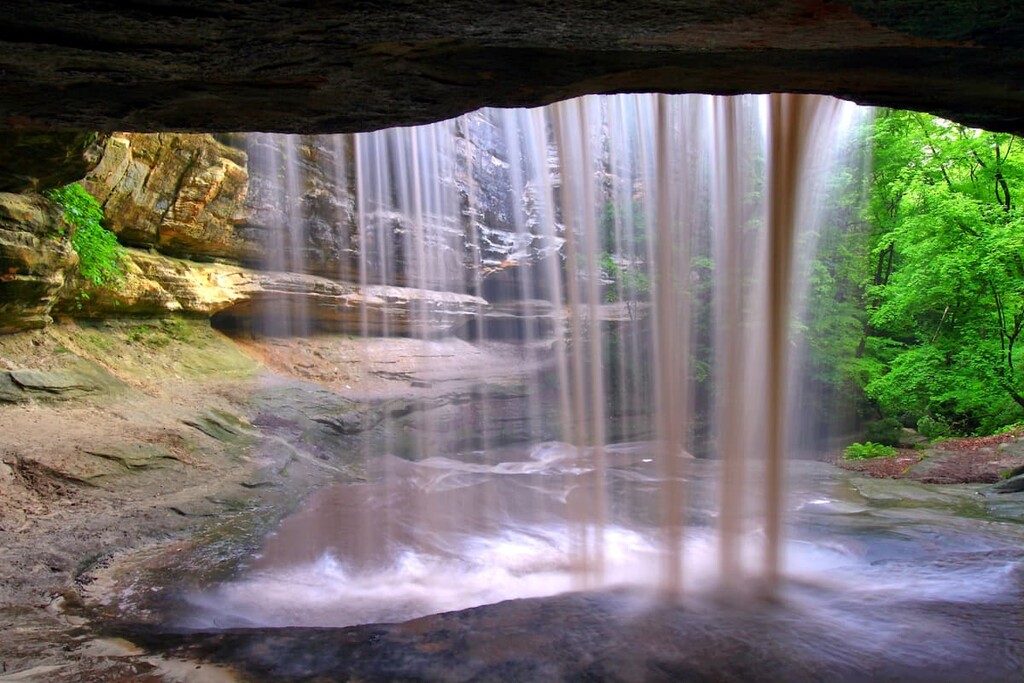
Within the park, there are plenty of great hikes and sights to enjoy. One of the most popular places to check out within Starved Rock is the St. Louis Canyon waterfall, which is accessible via a 3 mile (4.8 km) round trip hike from the visitor center or lodge.
For skiing and snowboarding enthusiasts, there are more than 5 ski resorts in Illinois, which are located in the north of the state.
The largest is Chestnut Mountain Resort with more than 5 km (3 mi) of slopes and 5 ski lifts. Another major area for skiing in Illinois is Snowstar. The two main ski resorts near Chicago are Villa Olivia-Bartlett and Four Lakes.
Check the Illinois ski resorts map and the larger USA ski resorts map in the World Mountain Lifts section of the site. It includes information about open ski lifts / slopes in Illinois in real-time with opening dates and hours. There are also year-round cable cars, funiculars, cog railways, aerial tramways, and all other types of mountain lifts.
Looking for a place to stay in Illinois? Here are some of the best cities to check out during your visit:
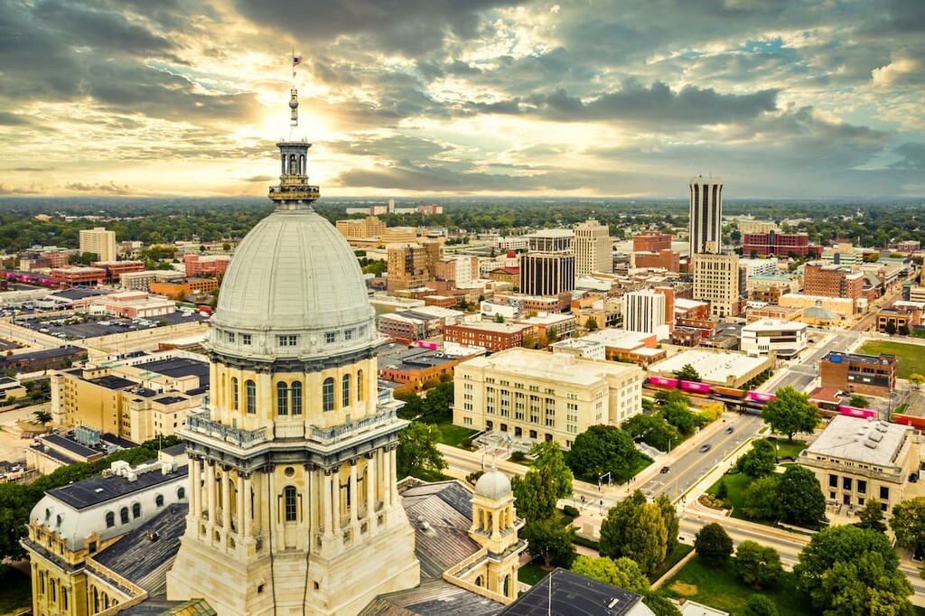
The capital of the state of Illinois, Springfield is a city of some 115,000 residents located in the central part of the state. It is Illinois’ sixth most populous city and it’s best known as the former residence and final resting place of Abraham Lincoln.
These days, much of Springfield’s economy revolves around the state government. It is also a hub for health care and transportation in the region. It also has a growing arts scene and it is the host of the annual Springfield Old Capitol Art Fair.
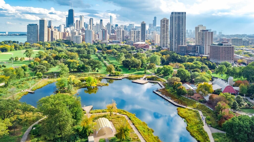
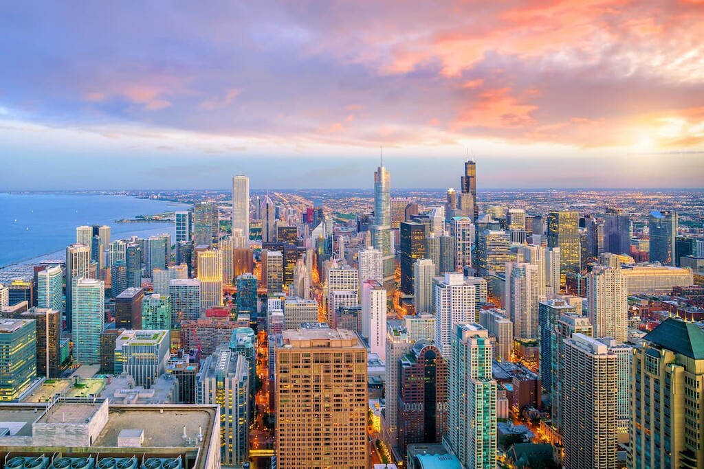
Also known as the Windy City, Chicago is the largest city in Illinois and the third-largest city in the United States. It is home to nearly 2.7 million residents and it is located along the shores of Lake Michigan.
Chicago is now an international center for commerce, finance, technology, education, and culture. It has a fantastic nightlife, a great music and arts scene, and plenty of superb tourist sites. The city is also a hub for a number of major sports teams, so it’s a great place to visit for anyone traveling to Illinois.
Although it’s not one city, but two, the Urbana-Champaign metropolitan area is located in the east-central part of the state and it is a population center in Illinois. The cities are home to a combined total of some 250,000 residents throughout their metropolitan area.
Urbana-Champaign’s biggest claim to fame is the fact that it is home to the flagship campus of the University of Illinois, which is aptly named the University of Illinois at Urbana-Champaign. It is also home to a fantastic collection of museums, theaters, and recreation areas, which makes it an excellent place to visit in the state.