Get PeakVisor App
Sign In
Search by GPS coordinates
- Latitude
- ° ' ''
- Longitude
- ° ' ''
- Units of Length

Yes
Cancel
❤ Wishlist ×
Choose
Delete
Affectionately known as the Great Lakes State, Michigan is a US state that’s particularly known for its stunning coastline, dense forests, and rugged beauty. While Michigan isn’t a particularly mountainous state, it does have 347 named mountains, the highest of which is Mount Carwood (1,978ft/603m), and the most prominent of which is Briar Hill (1,96ft/317m).
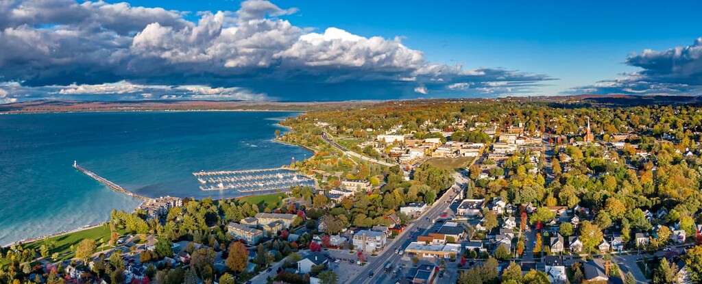
The state of Michigan is located in the northern part of the US Midwestern region. It contains a total area of some 96,716 square miles (250,493 sq. km), which makes it the 11th largest state in the union by area.
Moreover, with a population of just over 10 million people as of 2020, Michigan is the 10th most populous state in the US, trailing closely behind North Carolina, Georgia, and Ohio.
What really sticks out about Michigan, however, is the state’s coastline. With a total coastline of about 3,200 miles (5,100km), Michigan ranks 9th in the country when you count states with Great Lakes coastlines. In fact, Michigan has the longest freshwater coastline in the country, thanks to its prime location that’s surrounded by the Great Lakes.
Michigan’s unique shape means that it shares its borders with a number of different states. In particular, the state is located to the north of both Ohio and Indiana, as well as to the east of Wisconsin. Furthermore, Michigan technically shares a maritime border with Wisconsin and Illinois to the west on Lake Michigan, a maritime border with Minnesota to the north on Lake Superior, as well as a maritime border with Ohio to the southeast on Lake Erie.
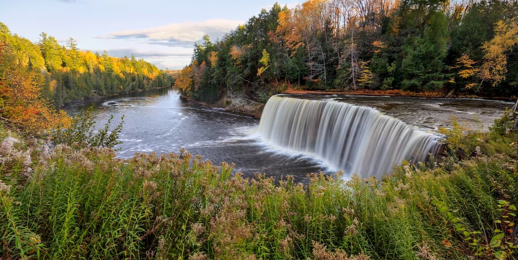
The state of Michigan also has an international border with Canada. Indeed, the Ontario Peninsula and the Michigan Peninsula are separated by only a narrow stretch of the Detroit River, the St. Clair River, and Lake Saint Clair. These waterways, alongside the rest of Lake Huron separate the Lower Peninsula of Michigan from the province of Ontario to the east.
Interestingly, the Detroit-Windsor transborder agglomeration, which combines Detroit, Michigan with Windsor, Ontario, is one of the largest international communities in North America. With some 5.7 million people living in the metro area of the two cities, the region is one of the most vital international links between Canada and the United States.
Furthermore, the Upper Peninsula of Michigan is technically separated from the rest of Ontario by the St. Marys River at Sault Ste. Marie and by the entirety of Lake Superior to the north, with the exception of Isle Royale, which is just to the south of Thunder Bay.
Due to the size of Michigan, it’s easiest to discuss the state by breaking it down into regions, though the most commonly used definition of regions in the state are informal, rather than officially delineated.
Southern Michigan is the most populous part of the state. Covering all of the southernmost parts of the Lower Peninsula, as well as Allegan, Barry, Eaton, Ingham, Livingston, Oakland, Macomb, Wayne, Washtenaw, Jackson, Calhoun, Kalamazoo, Van Buren, Berrien, Cass, Saint Joseph, Branch, Hillsdale, Lenawee, and Monroe, Southern Michigan is the economic center of the state.

In addition to being home to the cities of Detroit, Lansing, and Ann Arbor, Southern Michigan contains an assortment of beaches, lakes, and rich cultural heritage. The southern part of Michigan contains a great collection of state parks, such as:
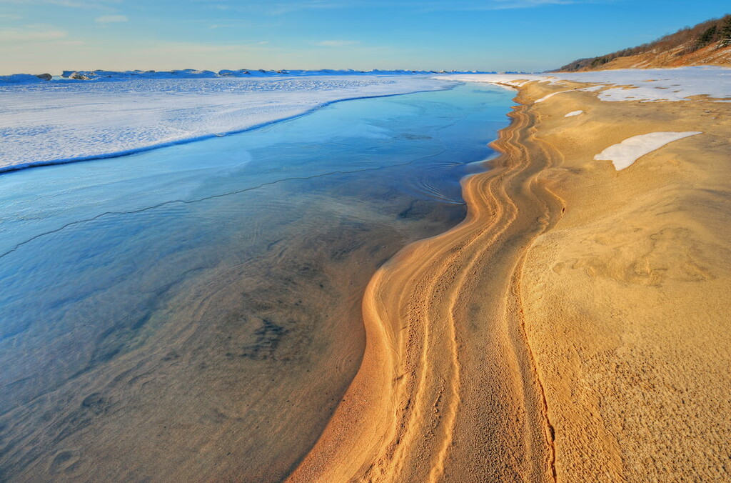
Furthermore, there are a number of smaller recreation areas in Southern Michigan, which make for a great place to adventure for the day. Some of the most popular include:

Encompassing the central third of the Lower Peninsula, Central Michigan includes the cities of Flint, Grand Rapids, Midland, Port Huron, and the following counties: Huron, Sanilac, Tuscola, Lapeer, Saint Clair, Genesee, Saginaw, Bay, Midland, Isabella, Gratiot, Shiawassee, Clinton, Ionia, Montcalm, Mecosta, Newaygo, Oceana, Muskegon, Ottawa, and Kent.
This part of the state, which includes the “thumb” and “palm” of mitten-shaped Michigan, is home to some of the most fertile farmlands in the state. It also contains quite a few fun beaches and some cool towns, like Algonac, which are dotted with canals.
The western half of the region contains part of Manistee National Forest, which is one of the most popular hiking destinations in the area. One of the best trails to check out if you’re in the forest is the Manistee River Trail, which also connects with the much longer North Country Trail.
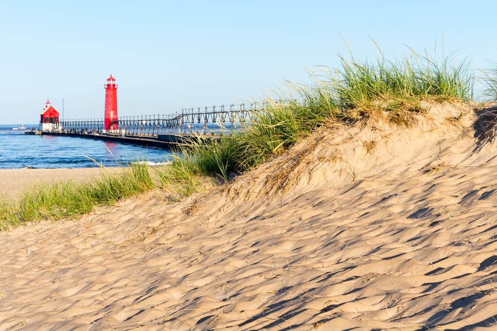
Furthermore, Central Michigan contains a great collection of state parks, such as:
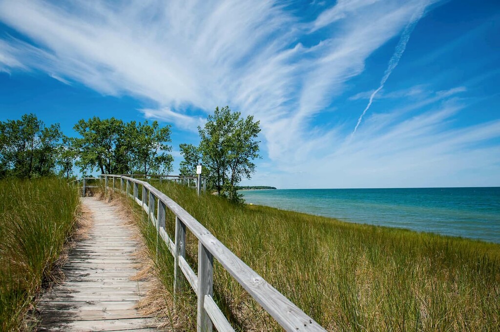
If you’re looking for a place to spend the day, it’s also worth checking out Central Michigan’s many popular recreation areas, such as:
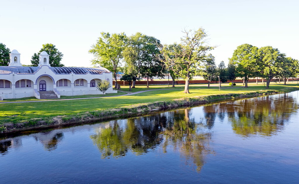
Although “Northern Michigan” could, theoretically, be used to describe the Upper Peninsula, it is most commonly used to refer to the northernmost part of the Lower Peninsula. This includes the counties of Charlevoix, Emmet, Cheboygan, Presque Isle, Alpena, Montmorency, Otsego, Antrim, Leelanau, Benzie, Grand Traverse, Kalkaska, Crawford, Oscoda, Alcona, Iosco, Ogemaw, Roscommon, Missaukee, Wexford, Manistee, Mason, Lake, Osceola, Clare, Gladwin, and Arenac.
Northern Michigan, which some people call Northern Lower Michigan, is a popular tourist destination for people from “down state.” It has a number of popular boating, camping, golfing, sailing, and hiking destinations, including Huron National Forest, Sleeping Bear Dunes National Lakeshore, and Manistee National Forest.

Furthermore, Northern Michigan has an exceptional collection of state parks, such as:
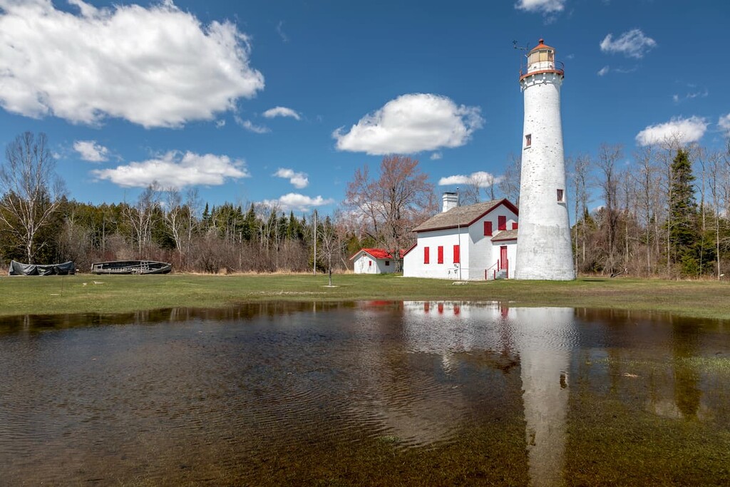
In addition to state parks, Northern MIchigan also has some excellent state forests, which are well worth a visit, including:
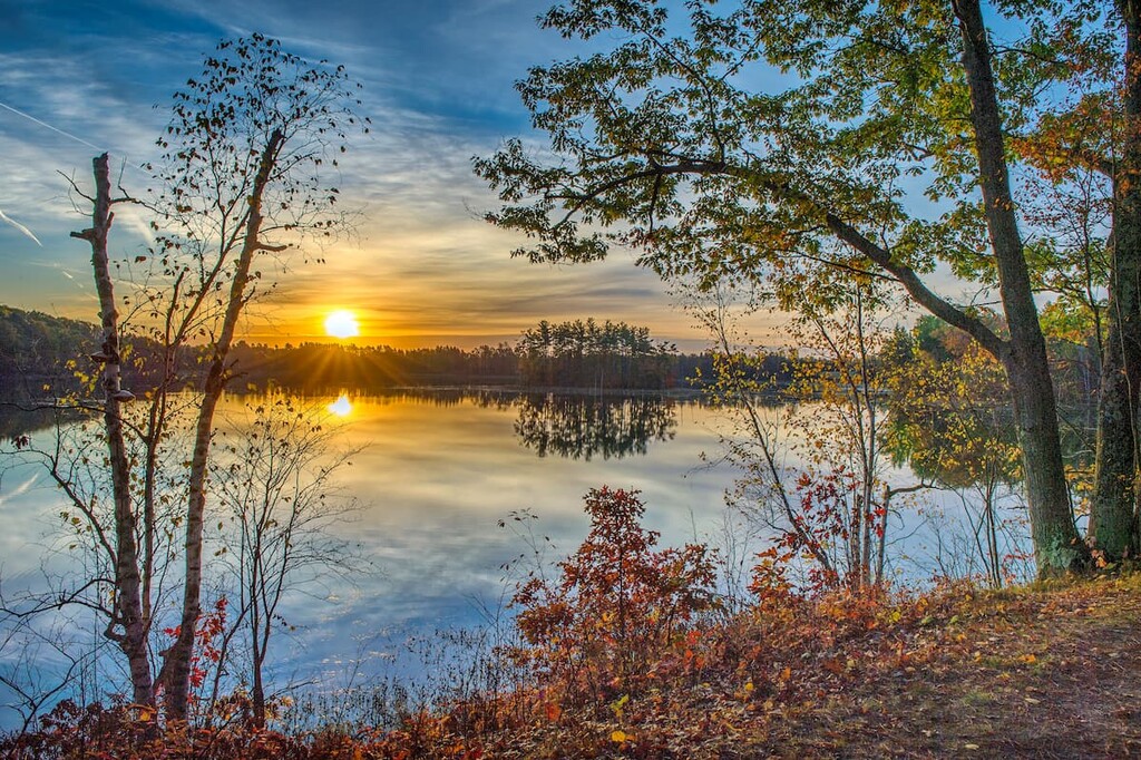
The northernmost part of the state of Michigan, the Upper Peninsula or the U.P. is separated from the Lower Peninsula by a small 3.5-mile (5.6 km) wide section of water known as the Straits of Mackinac.
As the least populous part of the state, the U.P. is a truly wonderful place to visit for outdoor recreationalists. It contains the counties of Gogebic, Ontonagon, Houghton, Keweenaw, Baraga, Iron, Marquette, Alger, Dickinson, Menominee, Delta, Schoolcraft, Luce, Chippewa, and Mackinac, though only about 300,000 people live in the region.
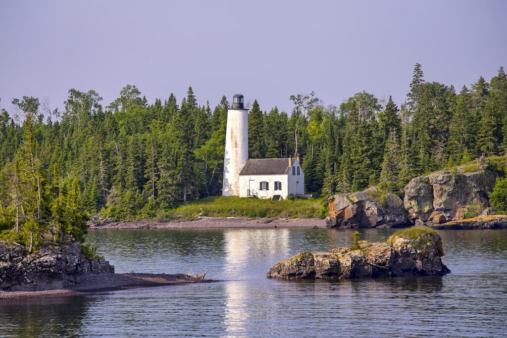
The Upper Peninsula technically contains hills that are part of the Superior Upland, though it is more known for its forests, beaches, and paddling opportunities than for its mountainous landscape.
Here, one can find some of the best parks in the state, including:
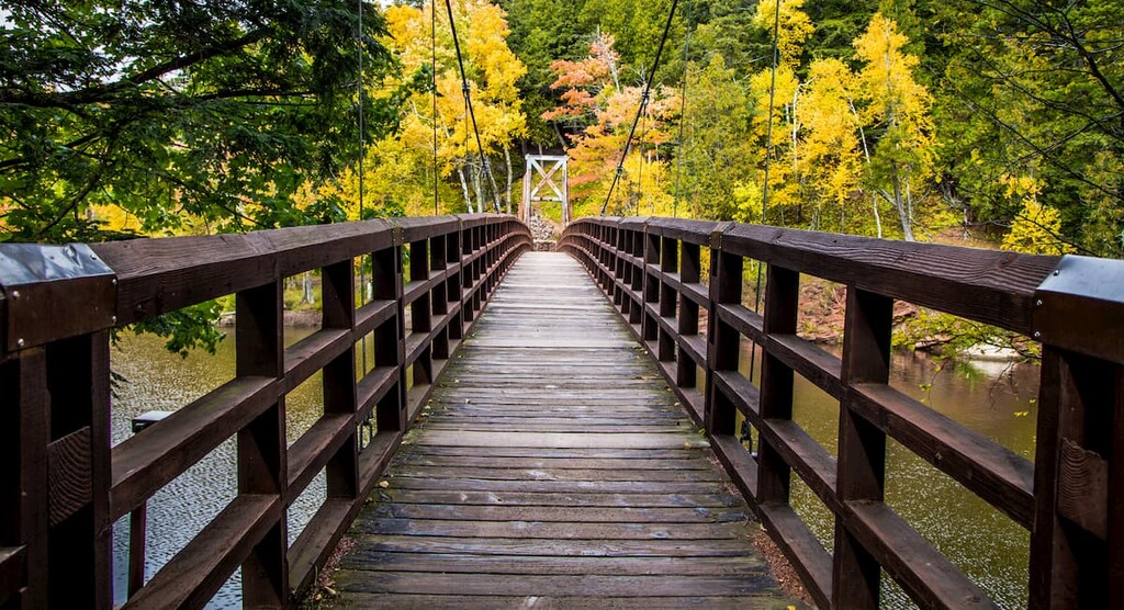
Furthermore, the Upper Peninsula includes a whole host of different state forests, parks, and recreation areas, such as:
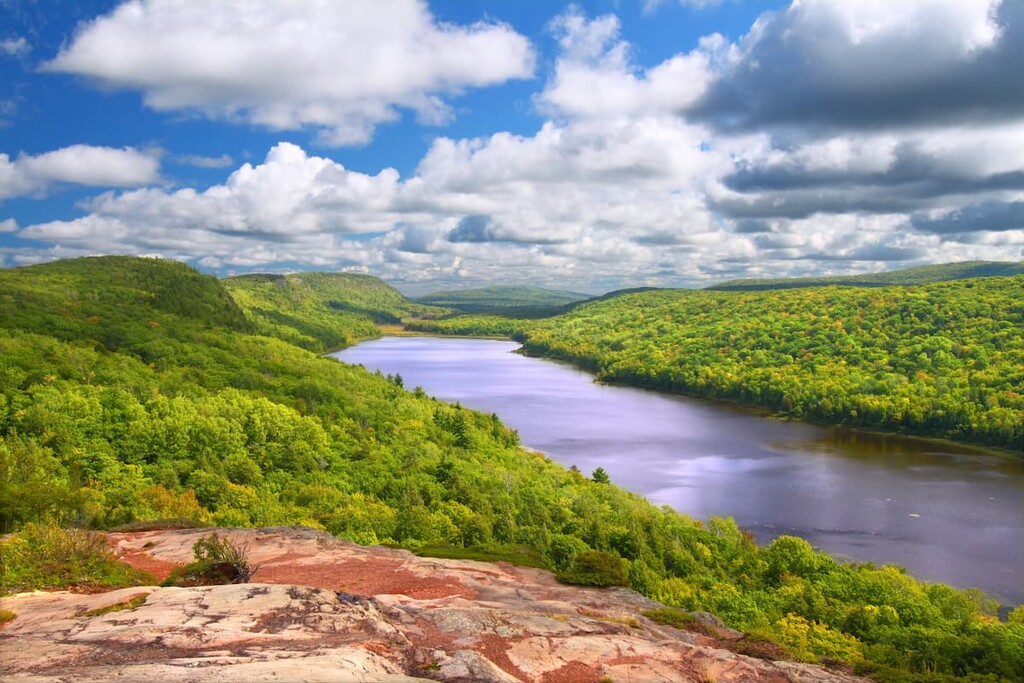
For the most part, Michigan can be thought of geologically by splitting it up into two distinct areas: the Upper and Lower peninsulas. While there is some overlap between the geologies of the two regions, there are some major differences between the two.
Geologically, the Upper Peninsula is underlain by Precambrian rocks, most of which are part of the Canadian Shield. This region is sometimes called the Superior Upland province, which also contains the hills of the Superior Uplands.
While there are also Precambrian rocks in the Lower Peninsula, these have been metamorphosed significantly over the millennia. Meanwhile, the majority of the Lower Peninsula is underlain by Paleozoic era rocks, which are mostly sedimentary in origin. These rocks represent a structure known as the Michigan Basin, which covers much of the state.
Nevertheless, the most critical period in Michigan’s geologic history was easily the glaciations of the Pleistocene. Throughout this period, Michigan was extensively glaciated, having experienced no fewer than 4 major glaciations.
These glaciers not only left behind the massive till deposits, kettle lakes, and other features that we see around Michigan today, but they carved out the Great Lakes that nearly completely surround the state.
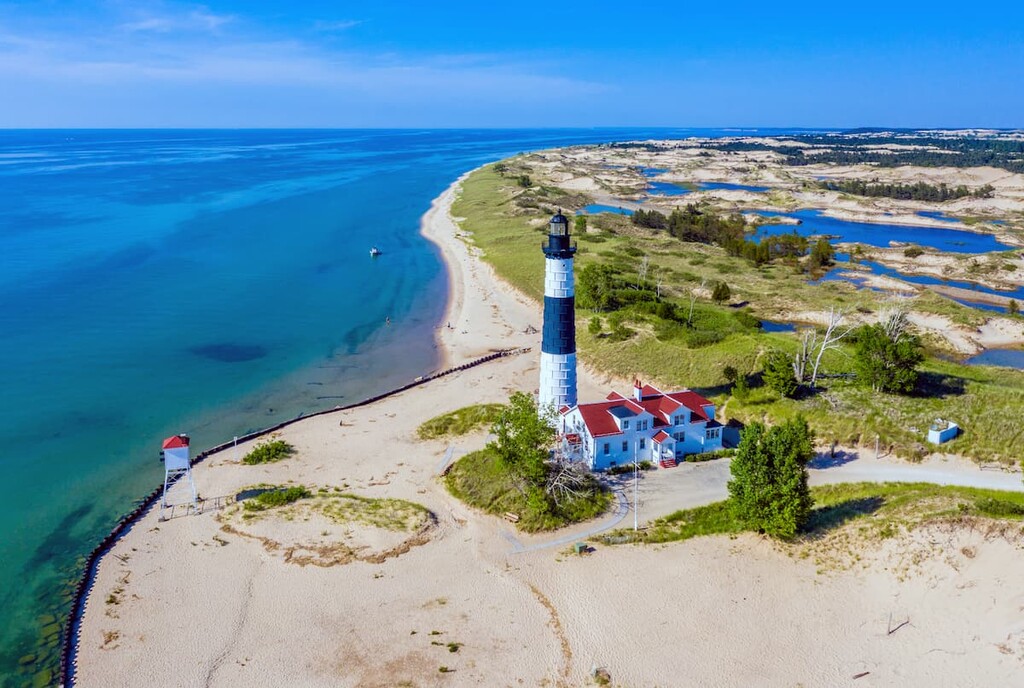
Major high points in the state include Mount Carwood, Mount Avron, Summit Peak, Underwood Hill, and Sheridan Hill.
Due to its large size, Michigan is naturally home to a great diversity of flora and fauna. Here are some of the major ecoregions in the state:
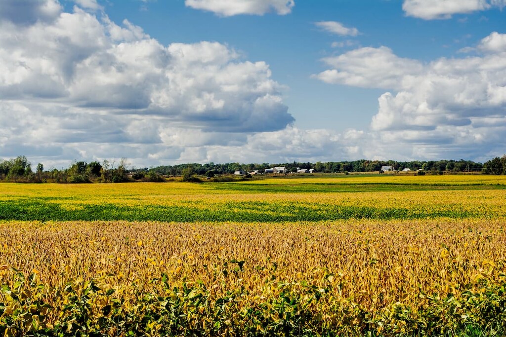
Encompassing all of the central and southern Lower Peninsula of Michigan besides the southeastern shoreline, the Southern Michigan/Northern Indiana Drift Plains is a gently rolling region that is now either agricultural or urbanized.
Much of the original forest cover was beech-sugar maple forest, oak-hickory sugar maple forest, oak savannas, tallgrass prairie, and swamps. However, large swaths of the region have since been converted to agricultural lands with only small, fragmented forests of oak, beech-maple, and wetlands remaining.
Covering the southeastern coastline of Michigan, the Huron/Erie Lake Plains is a mostly flat area located along the shores of lakes Huron and Erie.
Historically, the region was home to beach forests, elm-ash swamp, mixed oak forests, and oak savannas, though nearly none of the original ecosystems remain. Due to the heavy urbanization of the region, which is situated around detroit, the remaining plant life is highly fragmented and is almost completely second growth.

The Northern Lakes and Forests Ecoregion includes the northern part of the Lower Peninsula and the entirety of the Upper Peninsula of Michigan, as well as parts of Minnesota, Wisconsin, and Ontario.
It is home to fairly dense coniferous and hardwood forests with sandy outwash plains interspersed throughout. Due to the relatively poor soils, at least when compared to the regions to the south, the Northern Lakes and Forests are less suitable for agriculture.
However, the ecoregion, particularly in the Upper Peninsula, is home to a great array of wildlife. Some of the many animals in the region include blakc bears, moose, timber wolves (Isle Royale), foxes, and bobcats. The region was also once home to mountain lions, though it is believed that they have since been extirpated from Michigan.
The area that is now Michigan has long been inhabited by humans. Long before the arrival of Europeans, the region in and around the Michigan Peninsulas have been home to people since time immemorial.
Although many tribes and nations consider the region to be part of their ancestral homeland and traditional territory, some of the most prominent include the Ojibwe Bands and First Nations, as well as the Odawa Bands, Tribes, and First Nations.
Perhaps the first person of European descent to visit what is now Michigan was Étienne Brûlé of France who also ventured throughout Canada in the early seventeenth century. At the start of the eighteenth century, Antoine de la Mothe Cadillac of France and French Canada (specifically in what is now Nova Scotia) established a settlement known as Fort Pontchartrain du Détroit, which would later become the city of Detroit.
While the region was claimed by the French throughout the early eighteenth century, it was later ceded to the British after the French defeat in the French and Indian War. Then, after the British lost the American Revolutionary War, the United States gained control of what is now Michigan, though it was then called the Northwest Territory.
The Territory of Michigan was then established in 1805 after being separated from the Territory of Indiana in the aftermath of Ohio’s ascension to statehood. Michigan retained this territorial status until 1837 when it was admitted to the union as a state.

One of the major events in nineteenth century Michigan, however, was the 1825 opening of the Erie Canal. The canal allowed for an inexpensive way to ship goods from New York as it connected the Hudson River to the Great Lakes.
Later in the nineteenth century, the discovery of copper and iron in the Upper Peninsula led to the construction of the Soo Locks near Sault Ste. Marie. These locks were essential for making the Great Lakes the major shipping area that they are today.
Furthermore, the founding of Oldsmobile in Lansing in 1897 by Ramson E. Olds, as well as the construction of Henry Ford’s first automobile factory in Detroit in 1899 helped cement Michigan’s status as a major automobile manufacturing destination.
Although the Great Depression hammered Michigan’s industrial economy, it was later able to rebuild in the post–war years. However, the 1967 Detroit Riots, the 1973 Oil Crisis, and the decline in the automobile industry led to a decline in prosperity in the state (despite a brief 1980s boom in auto manufacturing).
Nevertheless, in more recent years, Michigan has sought to diversify its economy, specifically into a center for tourism. In fact, the state’s many parks, forests, and recreation areas make it an excellent place to visit if you’re looking to hike, paddle, and enjoy the scenic beauty of the northern Midwest.

Although it’s not a particularly mountainous state, Michigan is known for its outdoor recreation opportunities. Here are some of the best places to check out in beautiful Michigan:
In addition to its collection of state parks, Michigan also has a number of state trails, most of which follow a historical path between two cities or destinations over the course of 20 to 50 miles (32 to 80km). Some of the most notable trails include:
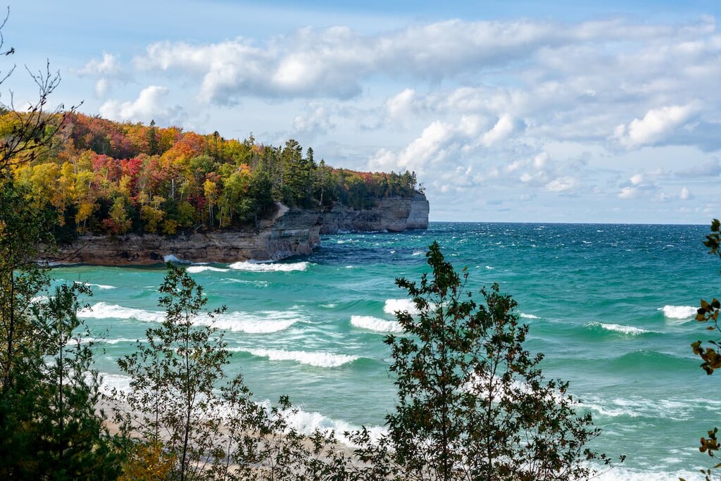
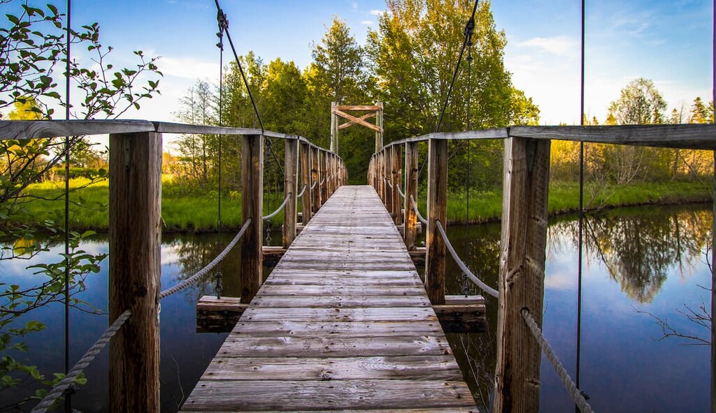
While each trail is unique, most offer excellent hiking, cycling, and even cross country skiing opportunities. A few, such as the Hart-Montague Trail State Park, also have notable way points like famous ice cream shops and museums, which are also worth checking out.
The longest of the designated national scenic trails in the United States, the North Country National Scenic Trail (NCT) is a 4,600 mile (7,400 km) long footpath that connects Middlebury, Vermont to central North Dakota. It crosses through 8 states, including Vermont, New York, Pennsylvania, Ohio, Wisconsin, Minnesota, North Dakota, and yes, Michigan.
While the trail actually isn’t complete (it’s over halfway done as of 2021), it is managed by the US National Park Service as a recreation opportunity for those looking to experience the beauty of the northern United States.
The trail actually traverses the lower peninsula of Michigan from north to south before crossing to the Upper Peninsula and traversing it from east to west, so it’s a fantastic way to see Michigan on foot.
Michigan’s only national park, Isle Royale National Park is actually located to the north of the Upper Peninsula near Ontario’s Thunder Bay on Lake Superior. There are 10 named high points in the park, the highest and most prominent of which is Mount Desor.
The park is also a UNESCO International Biosphere Reserve and it encompasses the entirety of Isle Royale, the largest island on Lake Superior, as well as a number of smaller nearby islands.
Isle Royale has long been home to humans and there is evidence of copper mines on the island dating back thousands of years. The park is now highly protected as it is very well known for its population of moose and timber wolves.
There are a number of different rails and camping areas in the park, though many of the best destinations are accessible only by foot, canoe, or private boat. Getting to the park involves taking a ferry, a floatplane, or a private boat, though it’s important to note that Isle Royale is the only national park in the US that closes in the winter months.
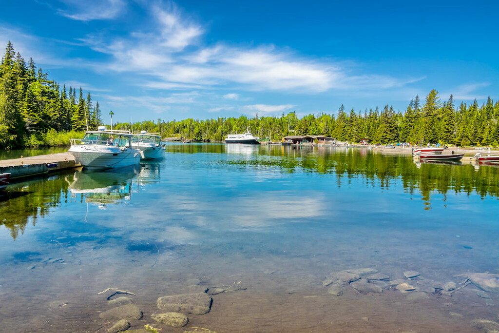
For skiing and snowboarding enthusiasts, there are more than 40 ski resorts in Michigan located all over the state, including its southern, central, and northern parts.
The largest is the Highlands at Harbor Springs Ski Resort with more than 25 km (16 mi) of ski slopes and 10 ski lifts. Other major areas for skiing in Michigan include Nubs Nob Ski Resort, Boyne Mountain Resort, and Boyne Highlands Resort, as well as Shanty Creek Resorts-Schuss Mountain, and others. All of them are located in the central part of the state.
The three largest ski resorts near Detroit are Pine Knob, Alpine Valley-White Lake, and Mt. Holly has more than 5 km (3 mi) of ski slopes and 10 ski lifts each, as well as two smaller ones—Bittersweet and Timber Ridge—in the south of the state.
The largest ski resort in the north of Michigan is Mt. Bohemia but also Marquette Mountain, Big Powderhorn Mountain, Blackjack, and Indianhead Mountain with more than 10 km (6 mi) of slopes and 5 ski lifts each.
Check the Michigan ski resorts map and the larger USA ski resorts map in the World Mountain Lifts section of the site. It includes information about open ski lifts / slopes in Michigan in real-time with opening dates and hours. There are also year-round cable cars, funiculars, cog railways, aerial tramways, and all other types of mountain lifts.
Looking for a place to stay during your visit to Detroit? Here are some great cities to check out:
Lovingly known as Motown, Detroit is the largest city in Michigan with some 670,000 people, though it’s estimated that some 4.3 million people live in its metro area. Detroit is one of the largest ports in the Great Lakes and it is a center for commerce in the northern Midwest.
Furthermore, Detroit’s airport is one of the most important commercial air hubs in the United States. The city’s tunnels and bridges that connect it to Canada are also among the busiest border crossings in the country.

The capital of the state of Michigan, Lansing is located in the south-central part of the state, which is sometimes called Mid-Michigan. With a population of around 120,000 people, it is far from being Michigan’s largest city, though it is known for having some great tourist attractions, such as farmers markets, art galleries, and museums.
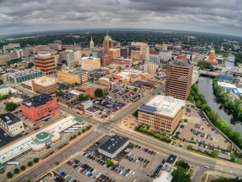
Michigan’s second-largest city, grand Rapids is located in the west-central part of the state and is home to about 200,000 people. It is often considered the cultural and economic center of the western part of the state and it is believed to be one of the fastest-growing cities in the Midwestern US.
Grand Rapids was also the home of President Gerald R. Ford and his presidential library and museum is located within the city.
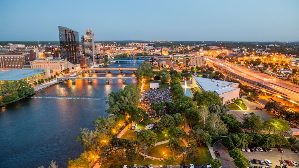
Located in southern Michigan, the city of Ann Arbor is home to about 120,000 people. It is the home of the University of Michigan, which is a major player in the city’s economy as it is one of the largest employers in the region. Due to the city’s proximity to Detroit, it is easy to get to by air, bus, road, and train.
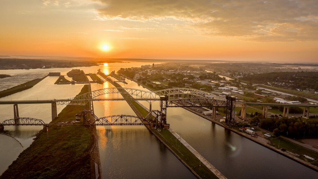
Sault Ste. Marie (pronounced SOO-seint-ma-REE by anglophones, though it retains its French pronunciation by francophones) is the second largest city on the Upper Peninsula (after Marquette) with a population of around 15,000 residents. However, it is located just across the St. Marys River from Sault Ste. Marie, Ontario, Canada, which has a population of about 75,000 people.
The city has long been an important place for trade and it continues to be one of the most important shipping passages in the Great Lakes System. Furthermore, tourism is a major industry in and around the city due to the region’s stunning beauty.
Explore Michigan with the PeakVisor 3D Map and identify its summits.


